
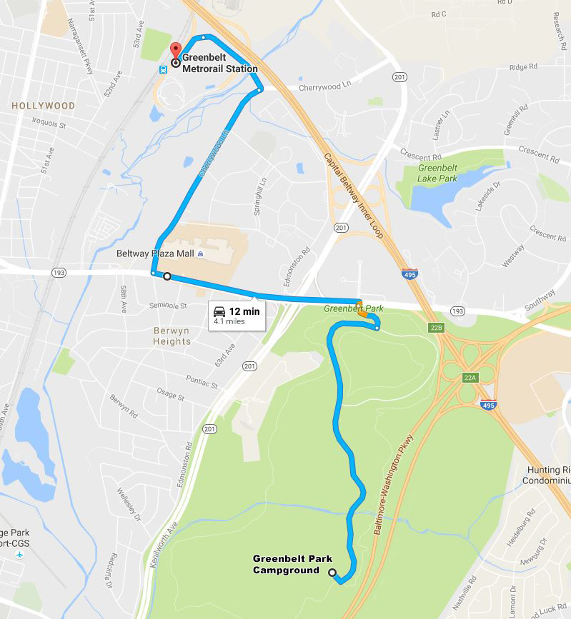
Directions to Greenbelt Metro (click to enlarge)
Not only is Greenbelt Park the closest campground to Washington, D. C., but it is also conveniently located near the Greenbelt Metro Station. By car, simply take a left out of the park on Greenbelt Road and follow the signs to the Metro by way of Cherrywood Lane. If you use Google Maps for directions, don’t use it this time because the route given is ridiculous. Left out of the park. Right on Cherrywood Lane. Follow the signs. Can’t get any easier. It takes about ten minutes to get there, and the drive from the campground to the park entrance is half of that time. The subway ride to downtown takes approximately 45 minutes, so plan on an overall trip time of one hour.
For those who want to avoid the parking fee at the Metro station and want some exercise, it is possible to walk from the D Loop of the Greenbelt Park Campground to the College Park University Metro Station in about thirty minutes. However, no direction signs are given other than at the intersection with the Perimeter Trail, so you must know the way beforehand. The trail starts near campsite #143. There is no parking other than at a campsite, so if you are camping in the A or B Loops, walking is not that practical, as it is a long way between these loops and D Loop (even C Loop is a good hike away).
From the campground it takes about five minutes to get to the intersection with the Perimeter Trail. A sign points the way to the Metro. In another five minutes you will come out on Good Luck Road. There is no directional sign here, but take a right and cross Kenilworth Avenue, a busy multi-lane highway also known as Highway 201. The road changes names to Campus Drive on the other side of Kenilworth. This road leads all the way to the Metro, and it takes about 20 minutes to get there.
To get back to the campground from the Metro, walk straight out of the station to Campus Drive (you ultimately need to be on the left side of the road). Cross Kenilworth and continue up Good Luck Road for about a hundred yards. Be on the lookout for an unmarked trail that leads into the woods. This is the trail back to the campground.
With a few exceptions, use of any photograph on the National Park Planner website requires a paid Royalty Free Editorial Use License or Commercial Use License. See the Photo Usage page for details.
Last updated on March 3, 2025


