

Pigeon Hill to Dallas Highway Trail map (click to enlarge)
Length: 3.7 mile loop
Time: 2 hours
Difficulty: Easy-Moderate
The loop trail from the Pigeon Hill parking lot to Dallas Highway and back covers trails in the central section of the park. There are no Civil War exhibits along this trail, so the only reason to do this hike is for exercise.
Begin the hike at the Pigeon Hill parking lot located near the corner of Burnt Hickory Road and Old Mountain Road. This is a large parking lot, but the area is popular with hikers so it could fill up on a busy day.

Pigeon Hill parking lot
The trail starts on the Noses Creek / West Trail, which is located to the left of the field behind the parking lot. It begins as a wide, gravel road, then eventually narrows and turns to dirt, but it always remains smooth. The terrain is flat to mildly hilly.

Typical trail terrain
Stay on the West Trail when you come to the first intersection, which entails taking the fork to the right. Twenty minutes later you will come to a stream, at which point the trail takes a sharp turn to the left and follows the stream to a bridge. However, all you are going to do is cross the bridge, take an immediate right, and hike right back along the stream, but on the other side. It’s just like driving on a street with a median and you need to turn left, but can’t. You have to drive to the next intersection and make a U-Turn. If you don’t mind getting your feet wet, you can cross the stream (the median) when you first come to it and then go right on the other side. Doing so will cut a few minutes from the hike.
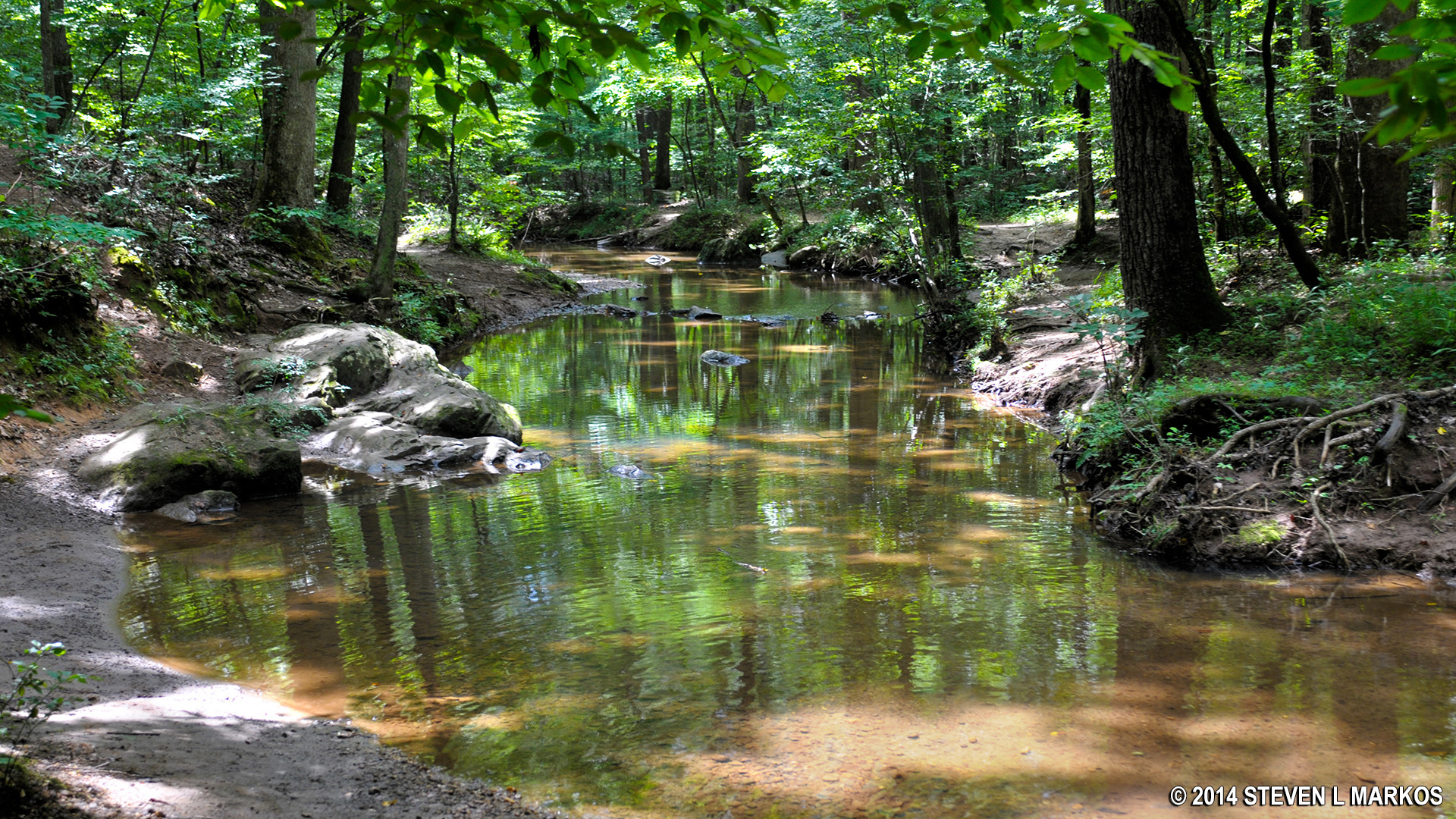
Shallow creek along the trail

Trail along a shallow creek
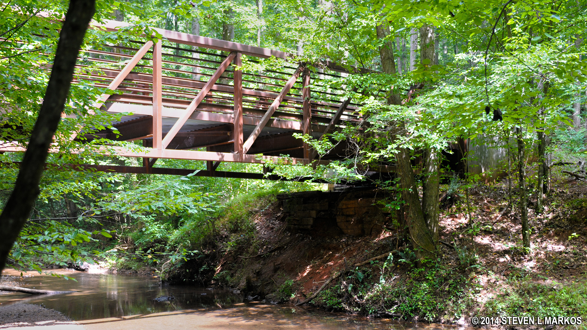
Foot bridge across creek
In another 40 minutes you will hit Dallas Highway. If you continue across the road, you will be hiking to Cheatham Hill, which is another .7 mile and not part of this hike description.
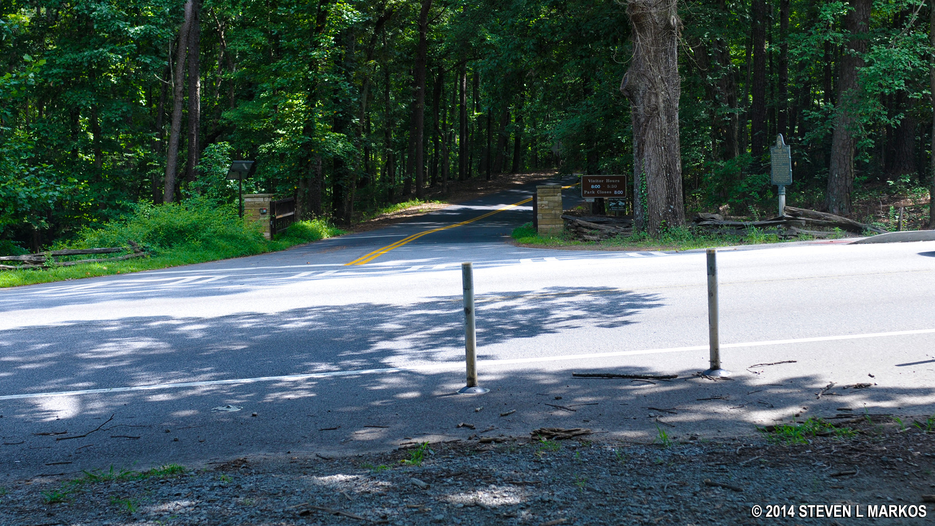
Dallas Highway, the turn around point of the loop hike
At the highway it is time to turn around and head back, only this time you will return on the Noses Creek / East Trail. You will come back to the same bridge you crossed earlier, but this time cross and keep hiking straight.

Foot bridge over creek, another view
In about ten minutes after the bridge you will come to another intersection where you can continue on the East Trail or cut left to the West Trail. Take the cut-through trail back to the West Trail, otherwise you end up on Burnt Hickory Road but east of the parking lot, and you’ll have to hike back along the road. The road is busy and it is not a good idea to hike along it. It should take you no more than 40 minutes to go from Dallas Highway back to Burnt Hickory Road.
With a few exceptions, use of any photograph on the National Park Planner website requires a paid Royalty Free Editorial Use License or Commercial Use License. See the Photo Usage page for details.
Last updated on February 16, 2020


