
Pigeon Hill Trail at Kennesaw Mountain National Battlefield Park
Length: 1.3-mile loop
Time: 1 hour
Difficulty: Moderate to strenuous
Pigeon Hill is most easily reached from the Pigeon Hill Parking Lot on Burnt Hickory Road. This is also the place to park for the Noses Creek Loop Hike that covers the central section of Kennesaw Mountain National Battlefield Park. There is a fee to use any of the parking lots, but if you haven’t already purchased a pass, there is a credit card-operated pay station available. You can also purchase a pass at the Visitor Center or online at Recreation.gov.
There isn’t much in the way of exhibits at Pigeon Hill—a wayside and some Confederate earthworks—and to see them entails a tenth of a mile hike from the parking lot up a hill with an average grade of 19% (strenuous hiking begins at 15%). However, while you may have hiked up to the earthworks, you have not really seen Pigeon Hill. In fact, you aren’t even at the top. For those who want to enhance their experience, it is possible to make a loop around the summit. And if you have already made it to the exhibits, you have already hiked the hard part.
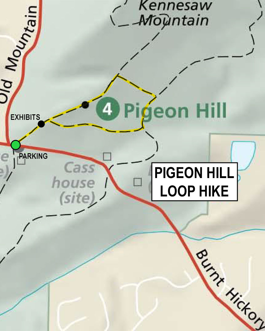
Pigeon Hill Loop Hike map (click to enlarge)
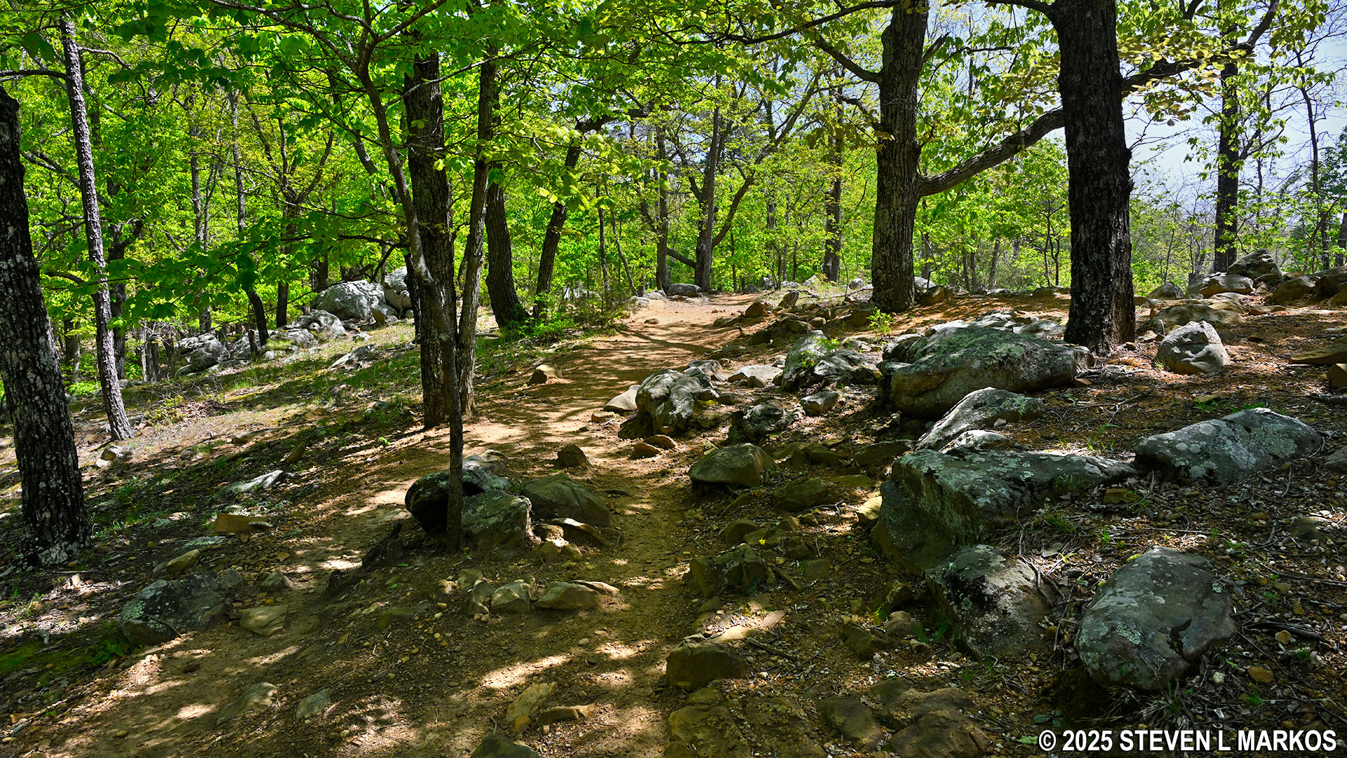
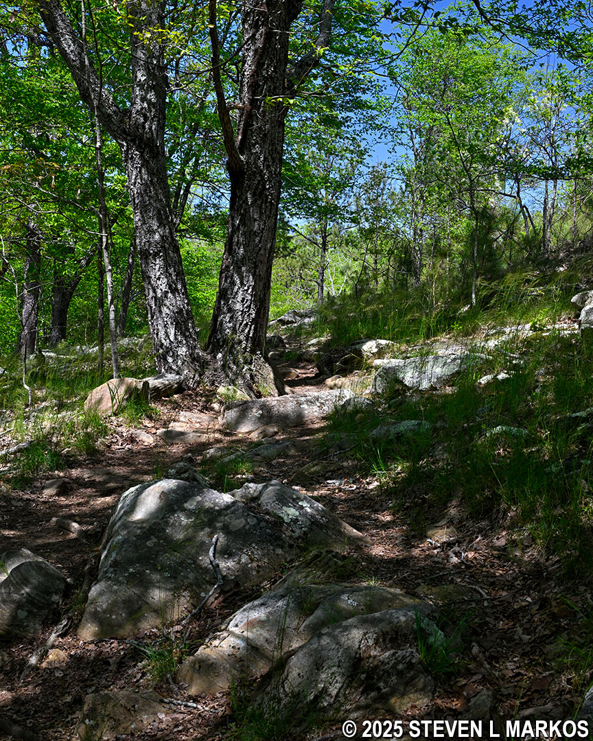
The Pigeon Hill Loop Hike starts on the opposite side of the road from the parking lot on the Pigeon Hill Trail. If you have hiked to the summit of Kennesaw Mountain, the trail to the top of Pigeon Hill is just as steep, though it is only a quarter of the distance. There are a lot of rocks on the trail, so be sure to watch your step.
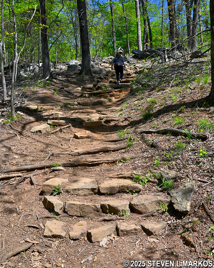
Steep terrain at the start of the Pigeon Hill Trail at Burnt Hickory Road, Kennesaw Mountain National Battlefield Park
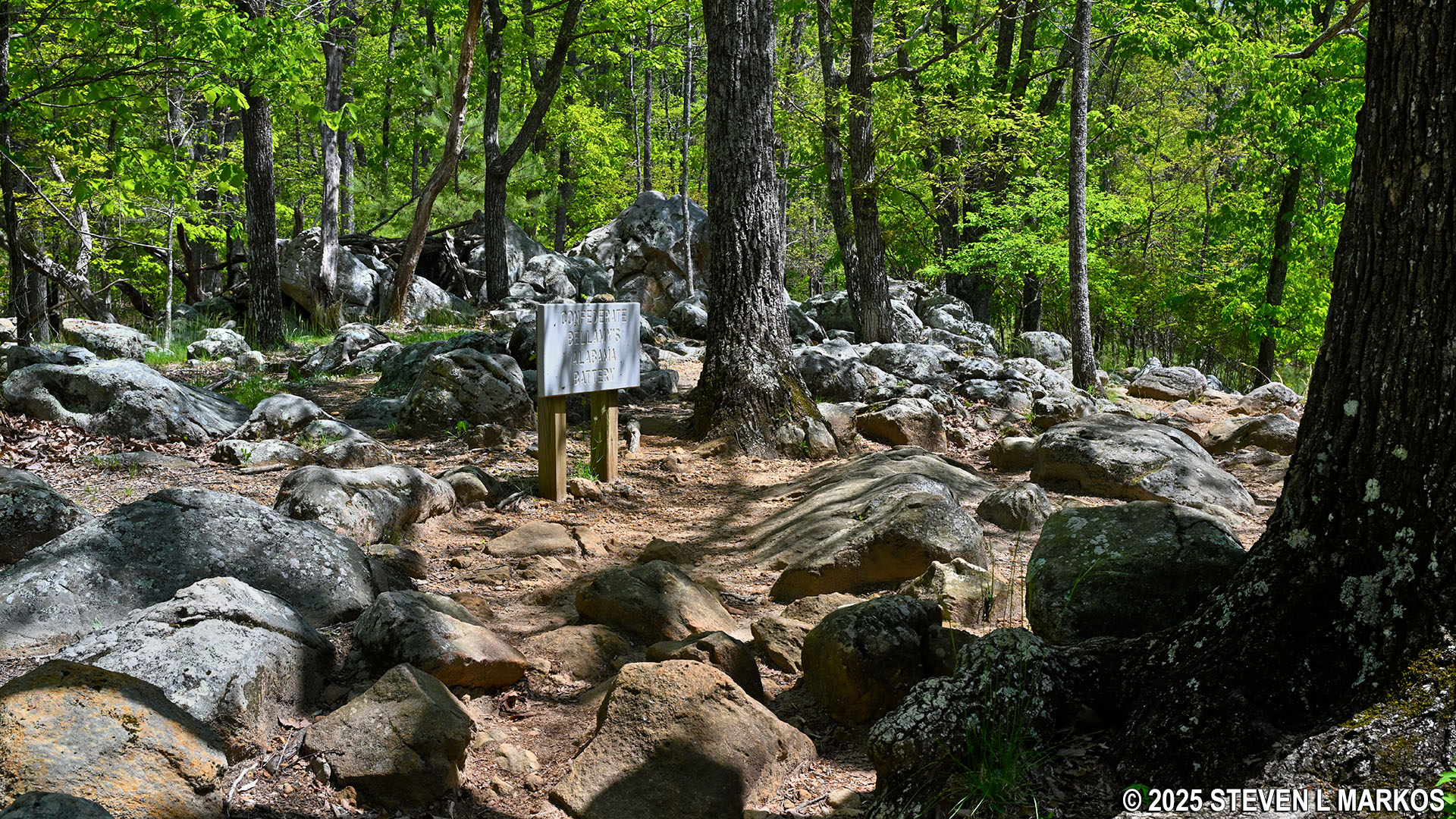
The wayside exhibit at the .1-mile mark discusses the earthworks (aka defensive trenches) built by the Confederate 3rd and 5th Consolidated Missouri Regiment. During the Battle of Kennesaw Mountain on June 27, 1864, Union troops, also from Missouri (the state had units on both sides), got to within 25 yards of the Confederate line before retreating.
When originally created, the earthworks were typically four to eight feet in height. Over the 160-plus years since the Civil War, those that were not completely destroyed by farmers and real estate developers have eroded away, so now most resemble nothing more than shallow gullies and small, natural hills. To the average person, the earthworks go unnoticed, and wayside exhibits and other markers are needed to point them out.
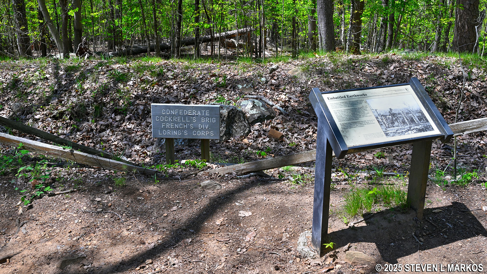
Earthwork exhibit at Pigeon Hill, Kennesaw Mountain National Battlefield Park
From the earthwork exhibit, keep straight ahead if you want to continue the hike around Pigeon Hill. Just past the exhibit is a wooden walkway followed by a slab of granite that you must hike up.
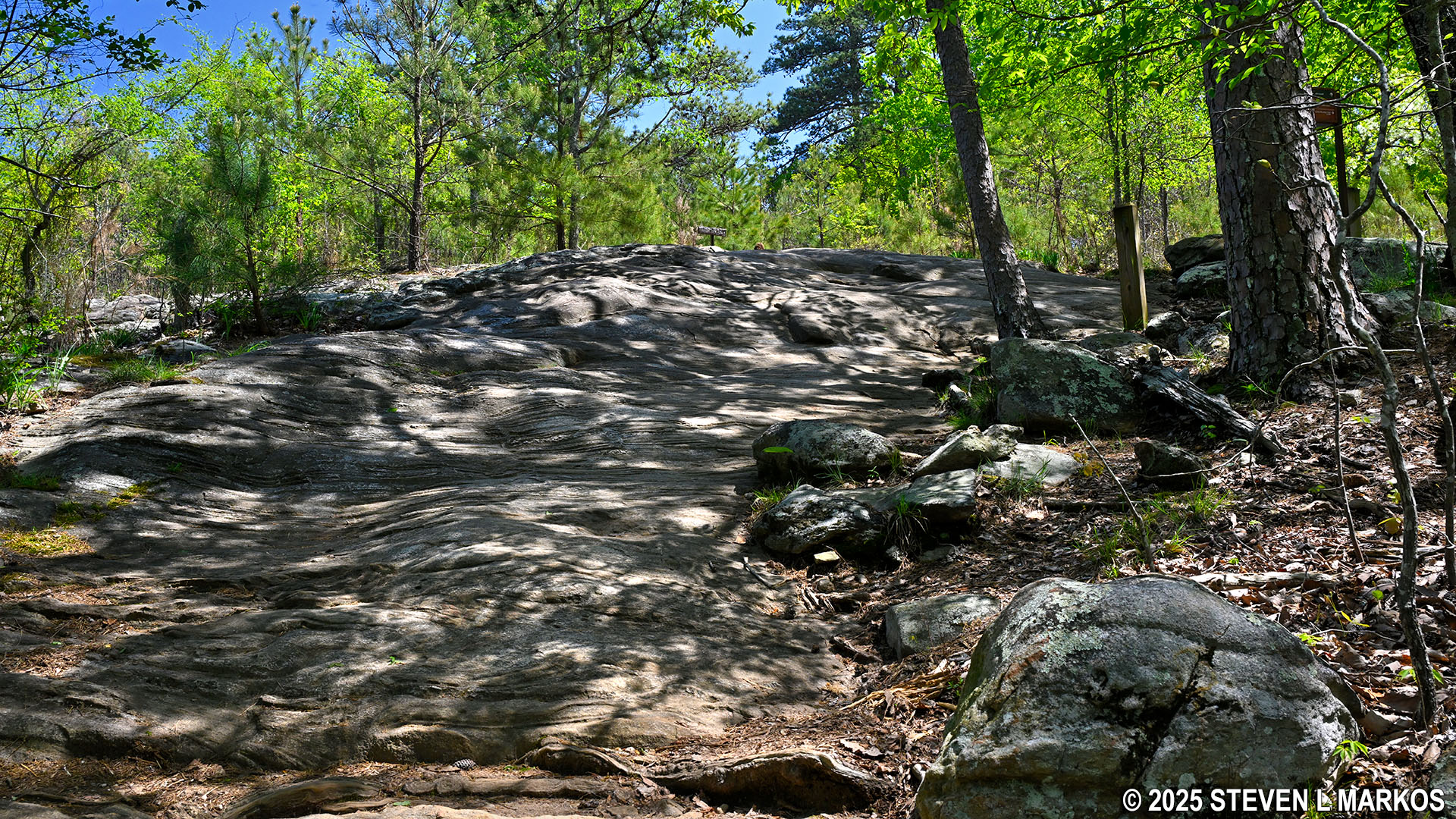
Granite slab just past the earthwork exhibit on the Pigeon Hill Trail, Kennesaw Mountain National Battlefield Park
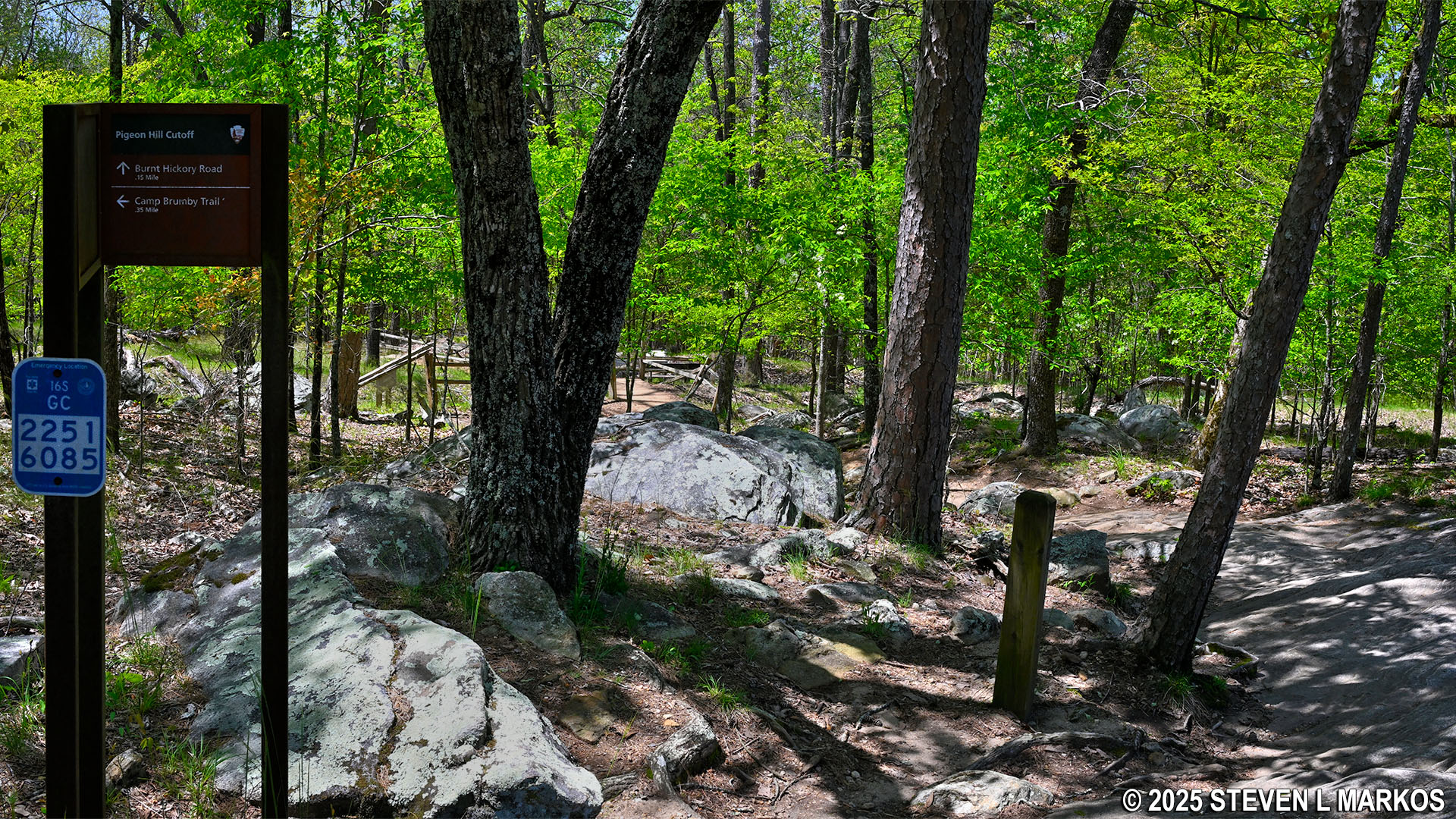
The Pigeon Hill Trail makes up the west side of the loop. At the top of the granite slab is the intersection with a trail that cuts over to the east side and eventually becomes the Camp Brumby Trail. Though not named on the trail signage marking the intersection, this connector is called the Pigeon Hill Cutoff, and it is here that the loop around Pigeon Hill begins. Continuing straight on the Pigeon Hill Trail sets you off hiking around in the clockwise direction, whereas turning right onto the Pigeon Hill Cutoff sets you off in the counterclockwise direction. I continued straight, and this report is written from that perspective.
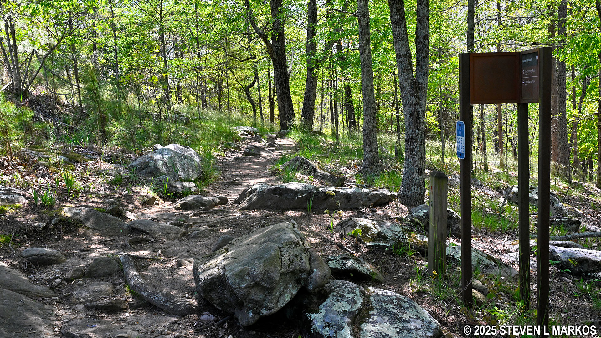
Western end of the Pigeon Hill Cutoff at the intersection with the Pigeon Hill Trail, Kennesaw Mountain National Battlefield Park
From the Cutoff intersection, it is another 100 yards to the top of Pigeon Hill on a trail of granite slabs and rocks. The summit comes a quarter mile from the start at Burnt Hickory Road.
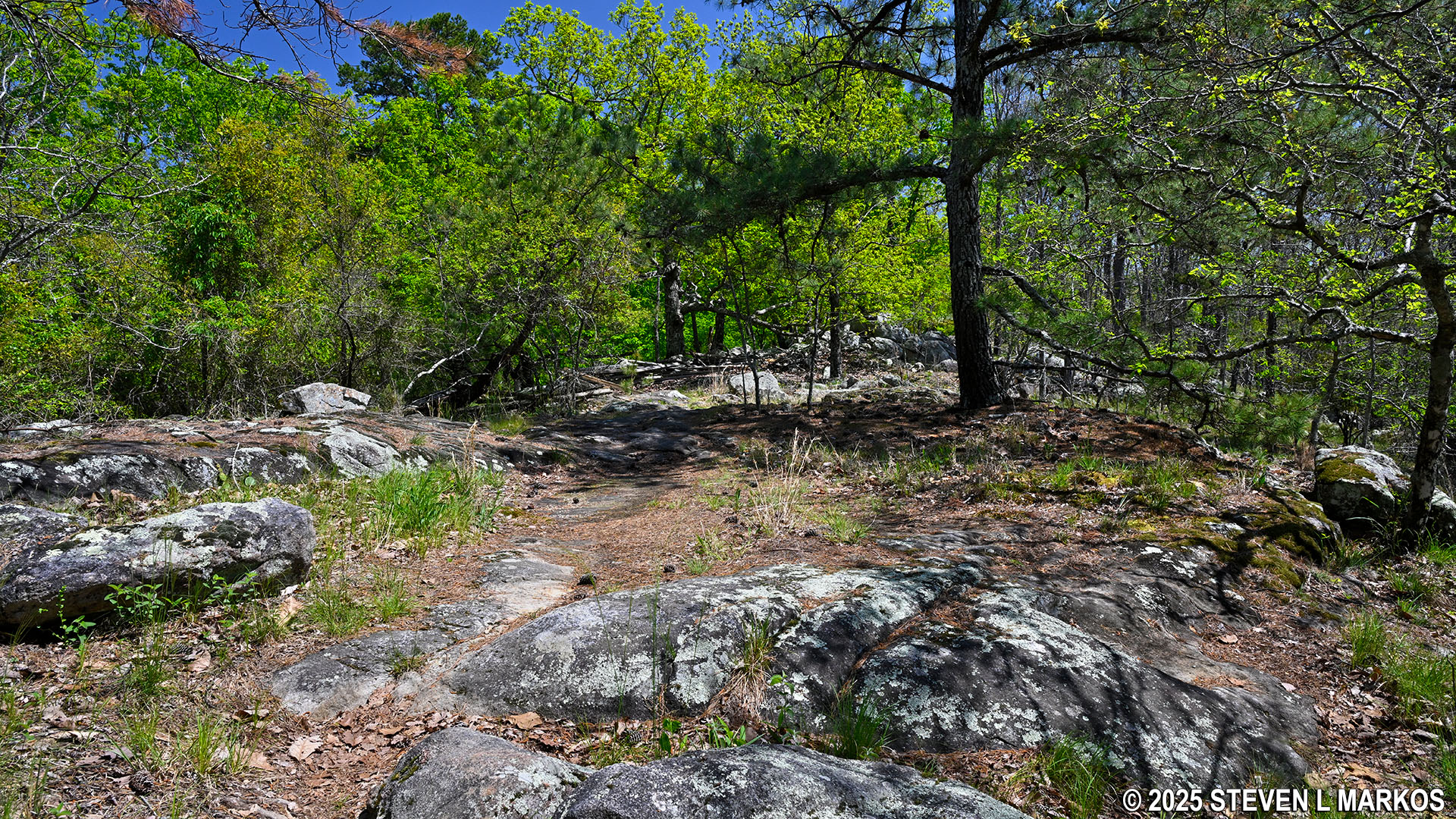
Pigeon Hill Trail near the top of Pigeon Hill, Kennesaw Mountain National Battlefield Park
Once at the top of Pigeon Hill, the terrain levels out, and for the next .75 mile it is easy hiking. However, for the first .2 mile there are so many rocks that I wondered if I was even on a trail. I found that as long as I kept hiking straight ahead, I would always catch a glimpse of a worn path, perhaps 20 feet to my right or left. Even though I may have gotten off the trail, it wasn’t long before the correct route magically reappeared.
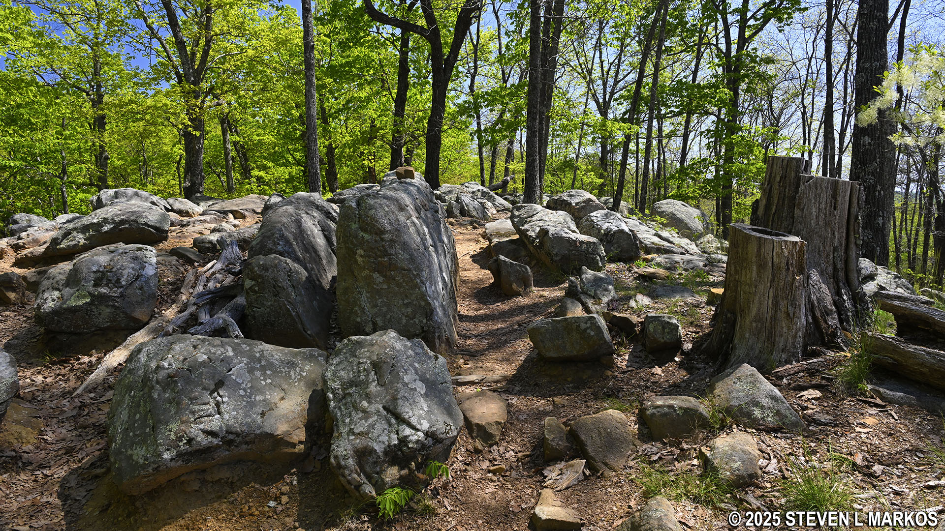
Typical terrain on the Pigeon Hill Trail at the top of Pigeon Hill, Kennesaw Mountain National Battlefield Park
You know you are on the right path when you see signs that mark Confederate troop positions. Such signs are on all the trails at Kennesaw Mountain National Battlefield Park, with gray signs for Confederate positions and blue signs for Union positions. All the signs at the top of Pigeon Hill are for Confederate troop units.
Sign marking Confederate troop positions at the top of Pigeon Hill, Kennesaw Mountain National Battlefield Park
Eventually the rocks completely disappear and the trail is once again a smooth and wide path. A hundred yards later is a second trail that cuts over to the Camp Brumby Trail. Turn here to continue around the loop. As before, the connector trail is not named—it is the Little Kennesaw Cutoff—and directional signage only mentions the Camp Brumby Trail. If you want to hike the longer Kennesaw Mountain Loop Hike, stay straight and you will be on your way north to Little Kennesaw Mountain.
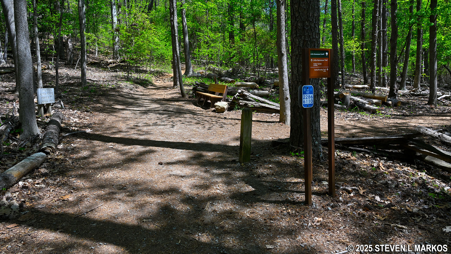
Intersection of the Pigeon Hill Trail and the Little Kennesaw Cutoff at the top of Pigeon Hill, Kennesaw Mountain National Battlefield Park
The Little Kennesaw Cutoff is a quarter mile long and is much narrower than the Pigeon Hill Trail. While it has a few rocks on its surface here and there, for the most part it is smooth and easy to walk on. The general trajectory is downhill, but the descent is long and gradual—so gradual that at times it might as well be flat.
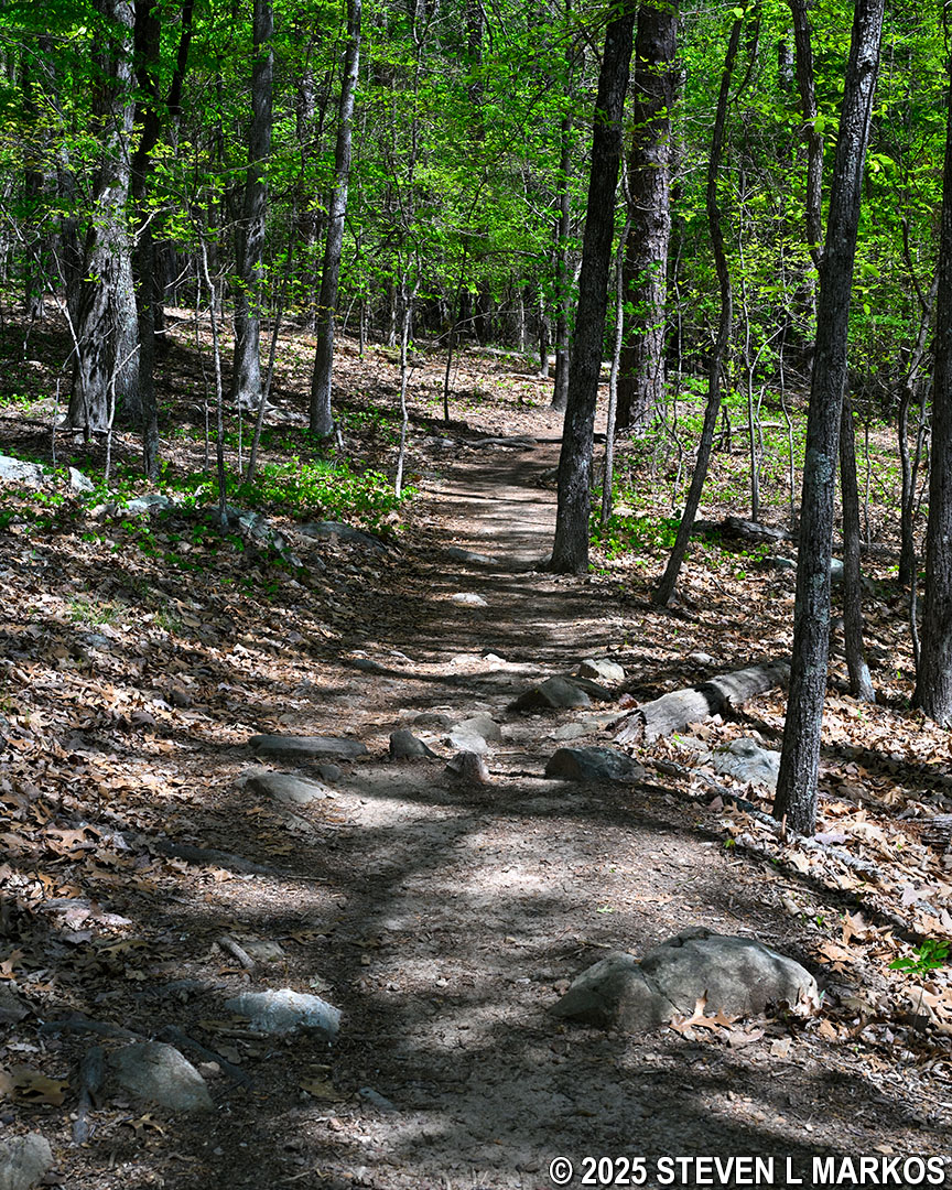
Typical terrain on the Little Kennesaw Cutoff at the top of Pigeon Hill, Kennesaw Mountain National Battlefield Park
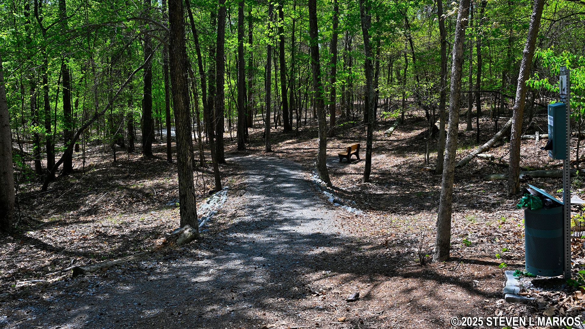
The Little Kennesaw Cutoff dead ends at a T-intersection, .7 mile into the overall hike. The Camp Brumby Trail, which begins at this intersection, is to the left, and it leads north to the Visitor Center. To the right, which is where this hike continues, is the Pigeon Hill Cutoff that heads south back to the start of the loop.
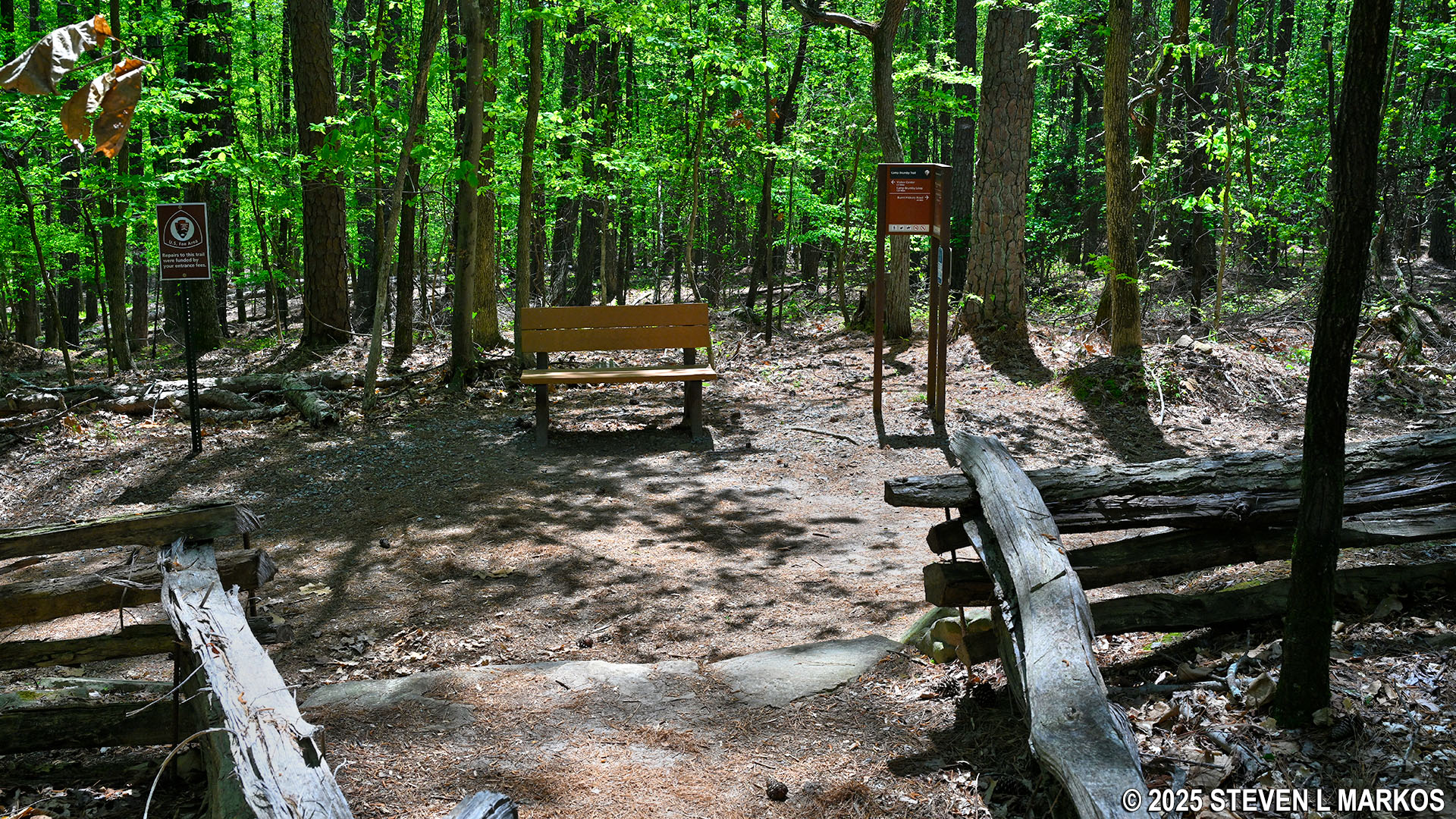
Little Kennesaw Cutoff dead ends into the Camp Brumby Trail, Kennesaw Mountain National Battlefield Park
The eastern half of the Pigeon Hill Cutoff is nothing more than an old dirt road for the next .3 mile. While it still proceeds downhill, this is probably the most level stretch on the entire hike.
Eastern side of the Pigeon Hill Cutoff, Kennesaw Mountain National Battlefield Park
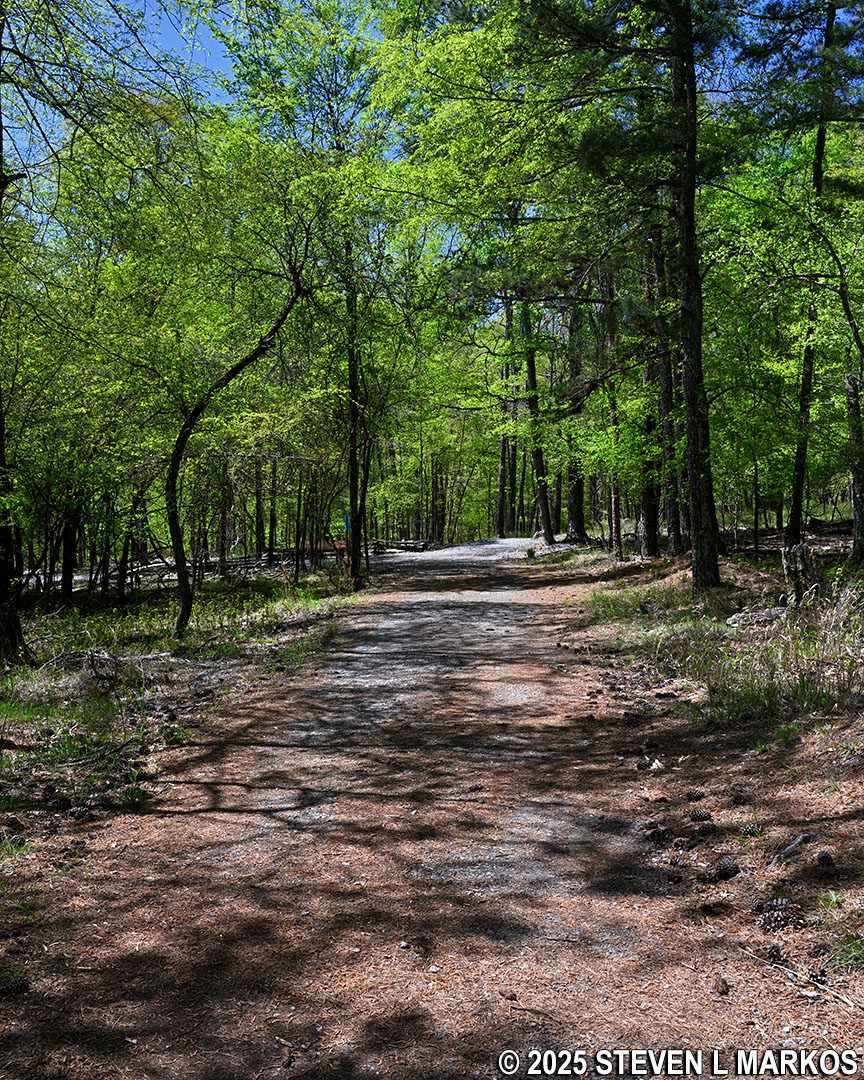
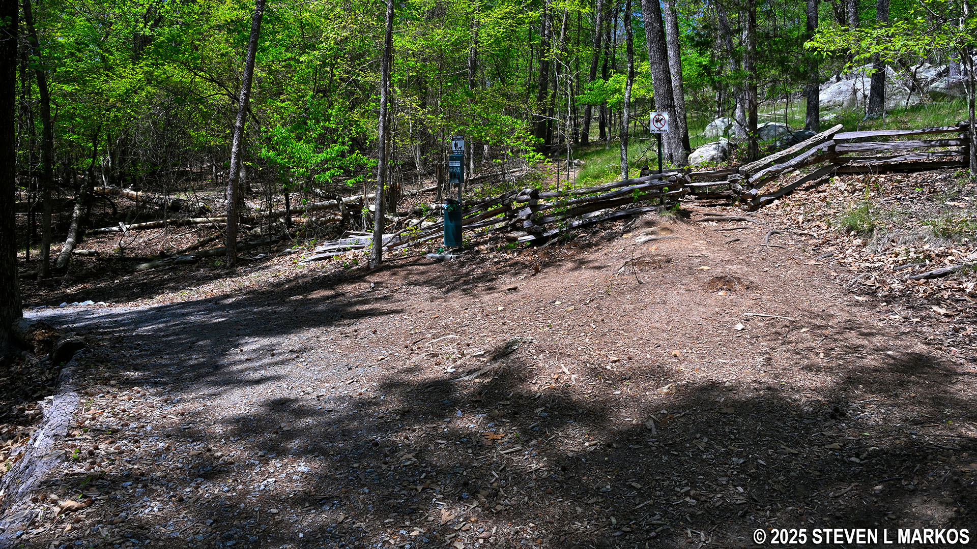
After .3 mile the gravel road veers sharply to the left and heads downhill directly to Burnt Hickory Road, but east of the parking lot. The Pigeon Hill Cutoff, which continues straight ahead, becomes a narrow hiking trail—look for a NO HORSES sign. It is uphill all the way back to the start of the loop, and the terrain is a little rocky. And of course once there, you must hike back down to Burnt Hickory Road on the very steep and rocky trail you came up on. If you’ve had enough of rocks, you can take the gravel path down to Burnt Hickory Road. Across the street is a paved, multi-use path, and it is a third of a mile back to the parking lot (take a right). Either way the distance is about the same. For the record, I took the hiking trail back.
Fork in the Pigeon Hill Cutoff, Kennesaw Mountain National Battlefield Park
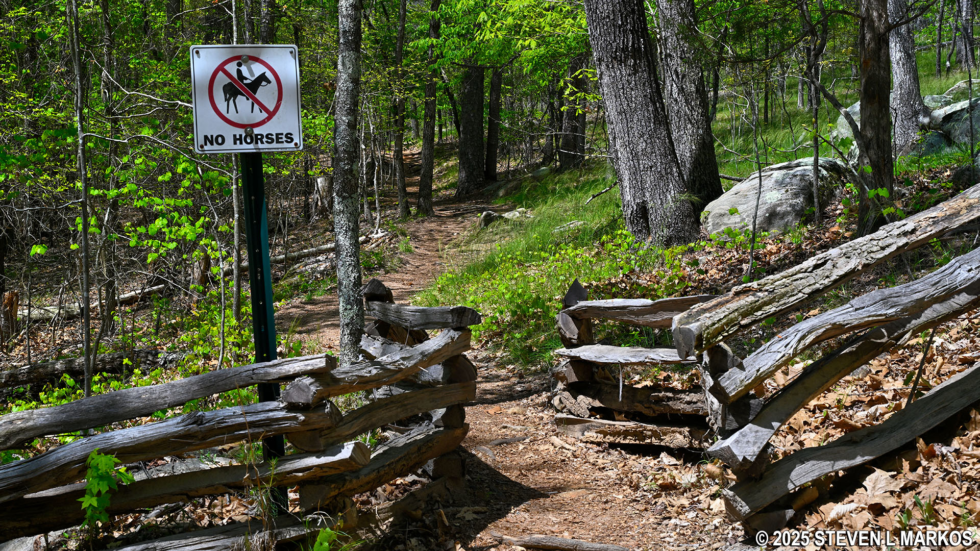
Western segment of the Pigeon Hill Cutoff is a narrow hiking trail, Kennesaw Mountain National Battlefield Park
A gravel path forks off to the left of the Pigeon Hill Cutoff and leads down to Burnt Hickory Road, Kennesaw Mountain National Battlefield Park
The hike back to the start of the loop on the Pigeon Hill Cutoff is up a moderate hill with an average grade of 9%. There are rocks on the upper end, including more sections of granite slab, but it is not like the extreme rocky terrain at the top of Pigeon Hill. Total distance of this segment is slightly less than .2 mile.
Typical terrain on the western end of the Pigeon Hill Cutoff, Kennesaw Mountain National Battlefield Park
When you get back to the start of the loop near the earthworks and granite slab, take a left to head back down the Pigeon Hill Trail to the parking lot. Total distance of the hike is 1.3 mile.
Intersection of the Pigeon Hill Cutoff and the Pigeon Hill Trail at Kennesaw Mountain National Battlefield Park
With a few exceptions, use of any photograph on the National Park Planner website requires a paid Royalty Free Editorial Use License or Commercial Use License. See the Photo Usage page for details.
Last updated on April 24, 2025


