
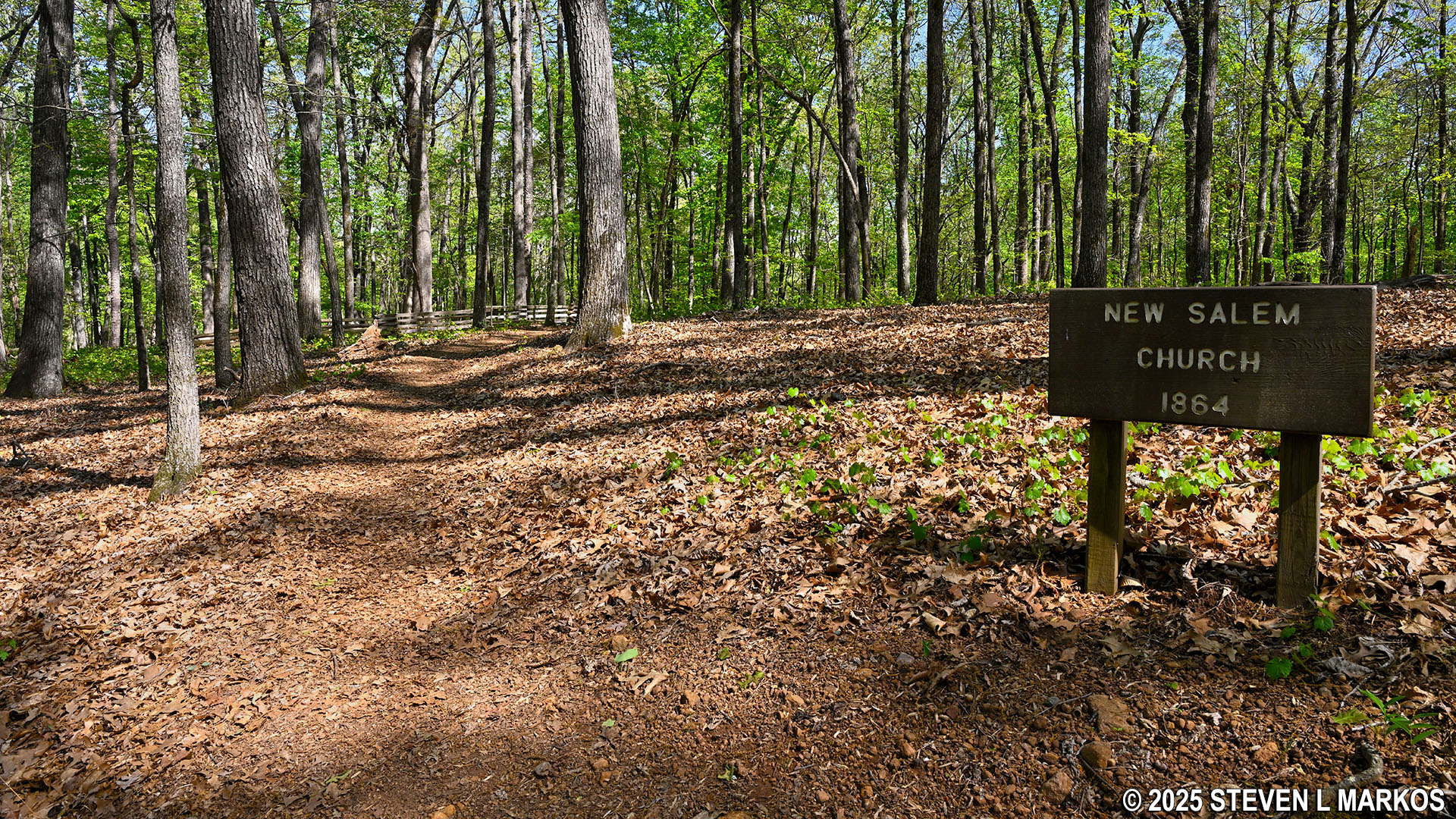
Site of the former New Salem Church near Pigeon Hill, Kennesaw Mountain National Battlefield Park
Length: .75 mile, one way
Time: 30 minutes
Difficulty: Moderate
The New Salem Church Trail is located in the central section of Kennesaw Mountain National Battlefield Park near Pigeon Hill. It is an out-and-back trail with a northern trailhead two tenths of a mile east of the Pigeon Hill Parking Lot on Burnt Hickory Road and a southern trailhead at the intersection with the Noses Creek Trail .4 mile from its start at the Pigeon Hill Parking Lot.
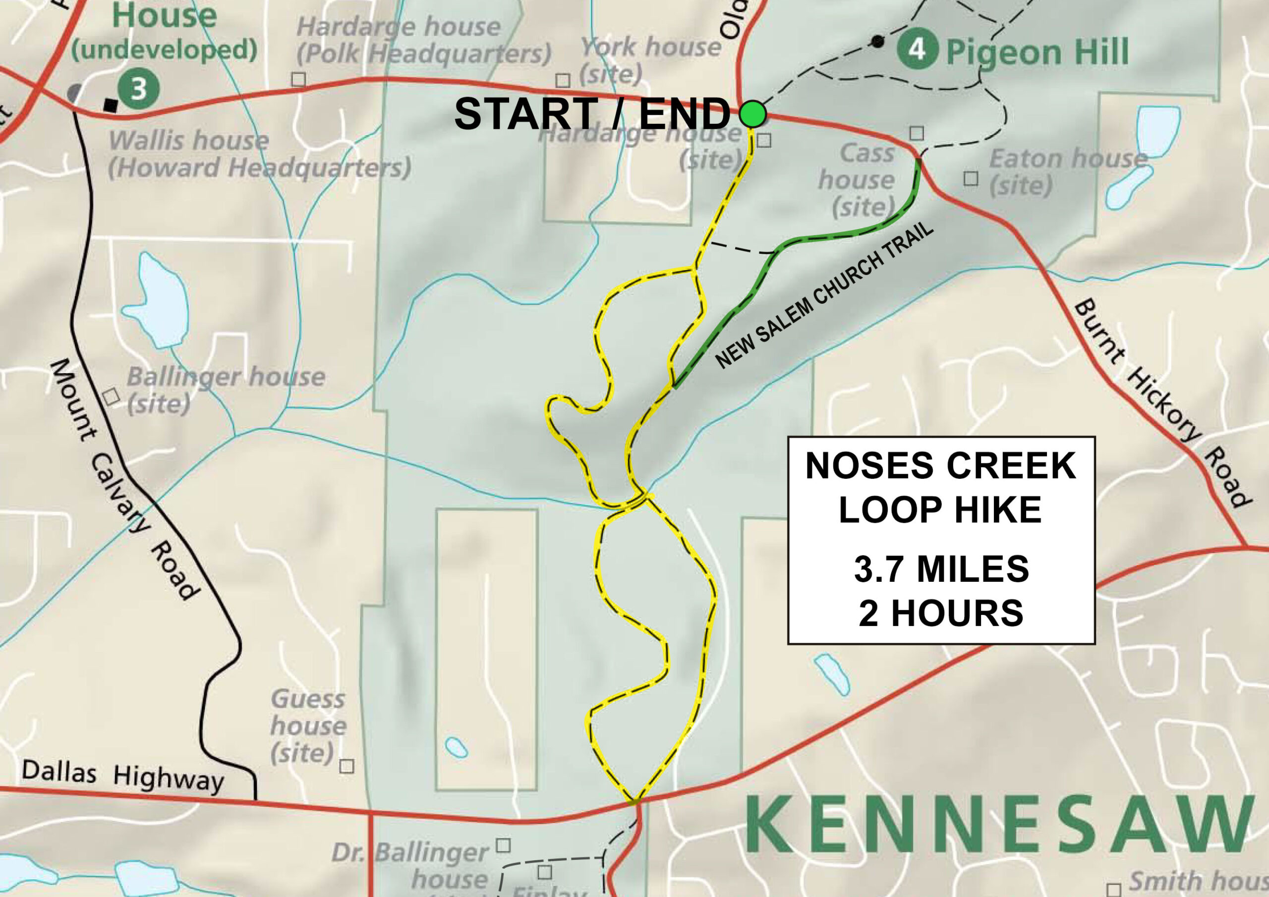
New Salem Church Trail Map (click to enlarge)
Before setting out to hike the New Salem Church Trail to see the historical New Salem Church, realize that it no longer exists. The building was most likely torn down by the Confederates who used its wood to shore up their defensive earthworks during the fighting at Kennesaw Mountain in June 1864. So there is no reason to hike the trail on its own, particularly starting from the northern trailhead. What makes more sense is to hike it as an alternate way back to the Pigeon Hill Parking Lot when doing the Noses Creek Loop Hike. Do the west side of the loop on your way south and the east side when hiking back north. Instead of covering the same section of trail back to the parking lot (see map above), take the New Salem Church Trail and then walk back to the parking lot on the paved, multi-use path that runs alongside Burnt Hickory Road. The alternate route adds roughly a half mile to the otherwise 3.7-mile loop hike.
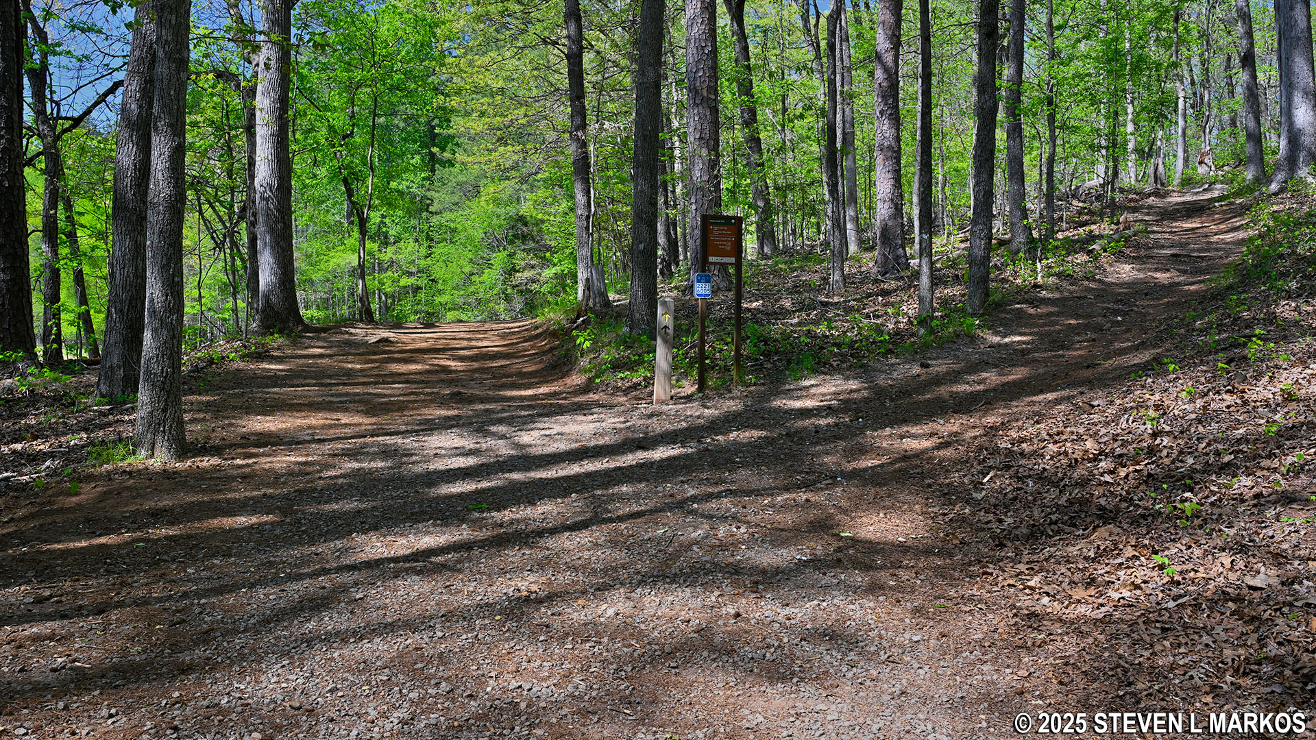
Intersection of the Noses Creek and New Salem Church trails, Kennesaw Mountain National Battlefield Park
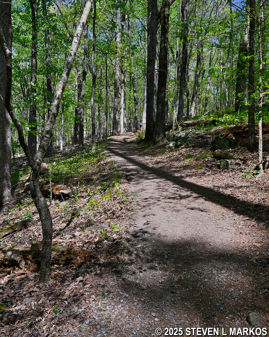
As suggested, I took the New Salem Church Trail as an alternate finale to the Noses Creek Loop Hike. From the intersection with the Noses Creek Trail, the hike starts off uphill on a 400-foot stretch of trail with an average grade of 17% (15% is where strenuous hiking begins).
Steep hill at the southern end of the New Salem Church Trail in Kennesaw Mountain National Battlefield Park
At the top of the hill are the remnants of Confederate earthworks (defensive trenches and earthen walls). Fighting took place all over Kennesaw Mountain National Battlefield Park, and earthworks crisscross the area. When originally created, they were typically four to eight feet in height. Over the 160-plus years since the Civil War, those that were not completely destroyed by farmers and real estate developers have eroded away, so now most resemble nothing more than shallow gullies and small, natural hills. To most people, remnants of the earthworks go unnoticed unless wayside exhibits or other markers point them out. While there are no waysides here, just remember that any small hills you see are most likely earthworks, and once you know what to look for, they are quite obvious.
Confederate earthworks along the New Salem Church Trail in Kennesaw Mountain National Battlefield Park
Also at the top of the hill are signs that mark troop positions during the Battle of Kennesaw Mountain. Such signs are found on nearly all the trails in the park. Gray signs mark Confederate positions and blue, Union positions. The signs in this area are for Confederates.
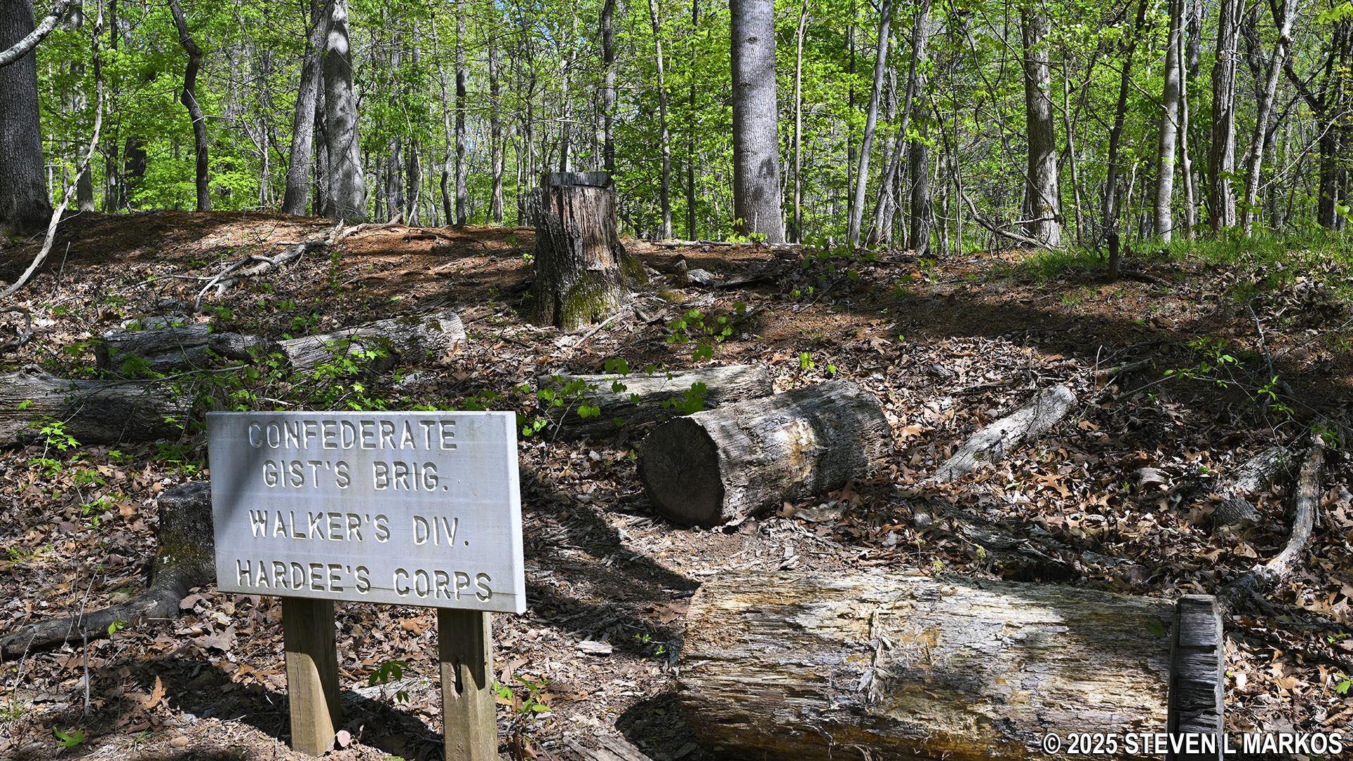
Sign marks Confederate troop position near the New Salem Church, Kennesaw Mountain National Battlefield Park
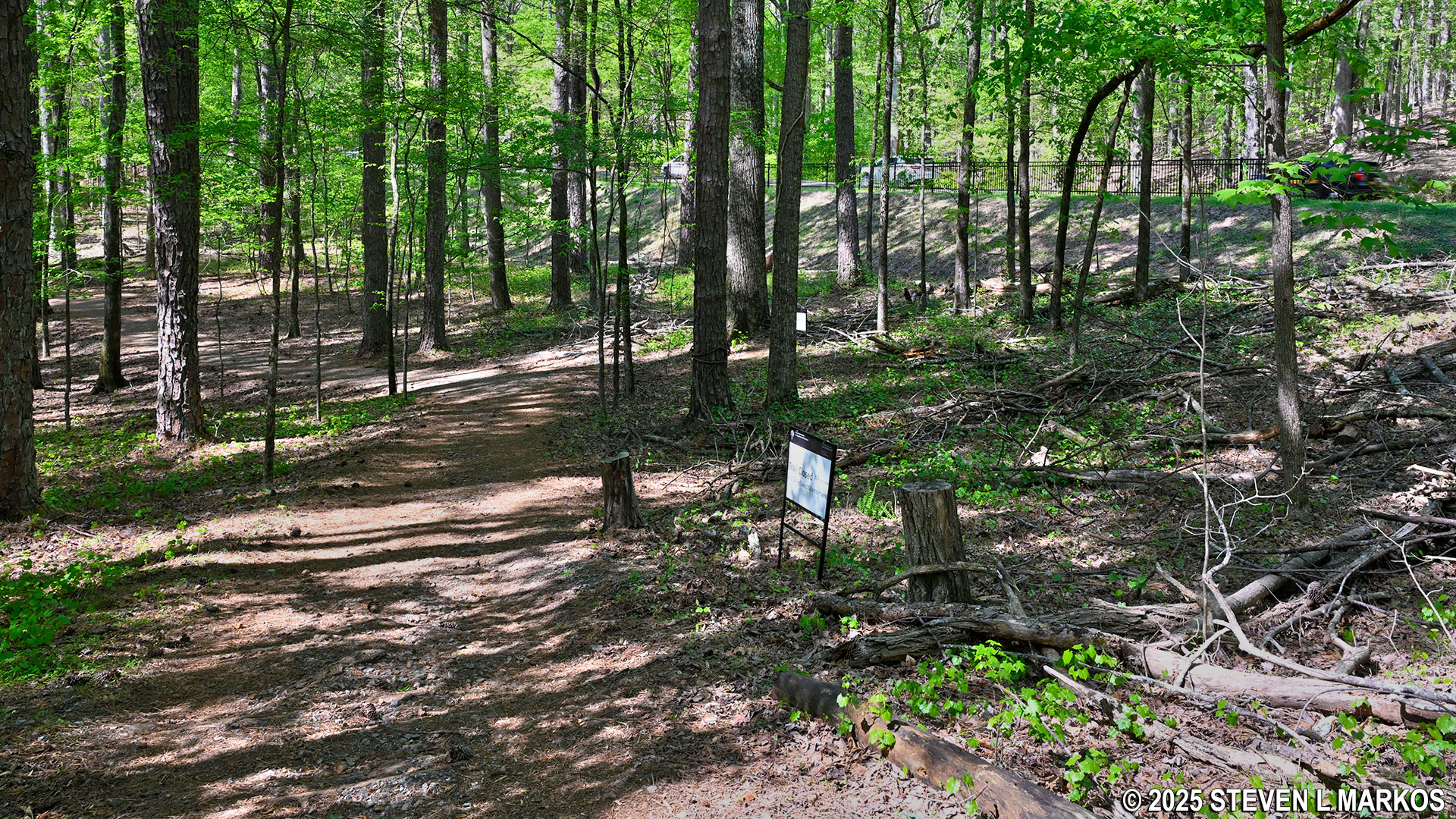
After a very short level section at the top, it’s back down on a hill identical to the one you hiked on the way up. At the bottom is an open field. When you get to the far side, notice that if you were coming the other way that the trail forks. A right cuts over to the Noses Creek Trail. Left is the way to go to stay on the New Salem Church Trail (again, if you are coming the other way).
Field near the midway point on the New Salem Church Trail in Kennesaw Mountain National Battlefield Park
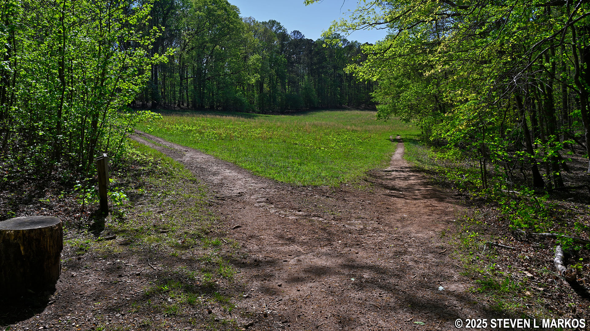
Fork in the New Salem Church Trail when hiking south, Kennesaw Mountain National Battlefield Park
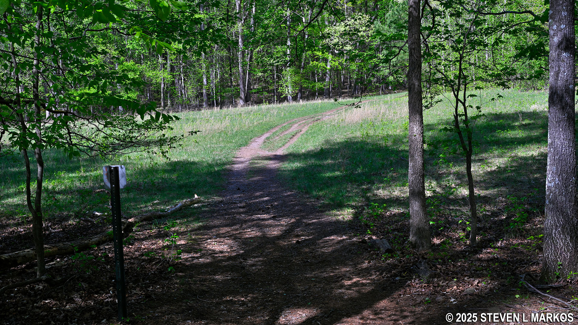
A hundred yards past the fork is another steep hill. This one is a little longer (tenth of a mile), but it is not as steep (12% average grade).
Second steep hill when hiking north on the New Salem Church Trail in Kennesaw Mountain National Battlefield Park
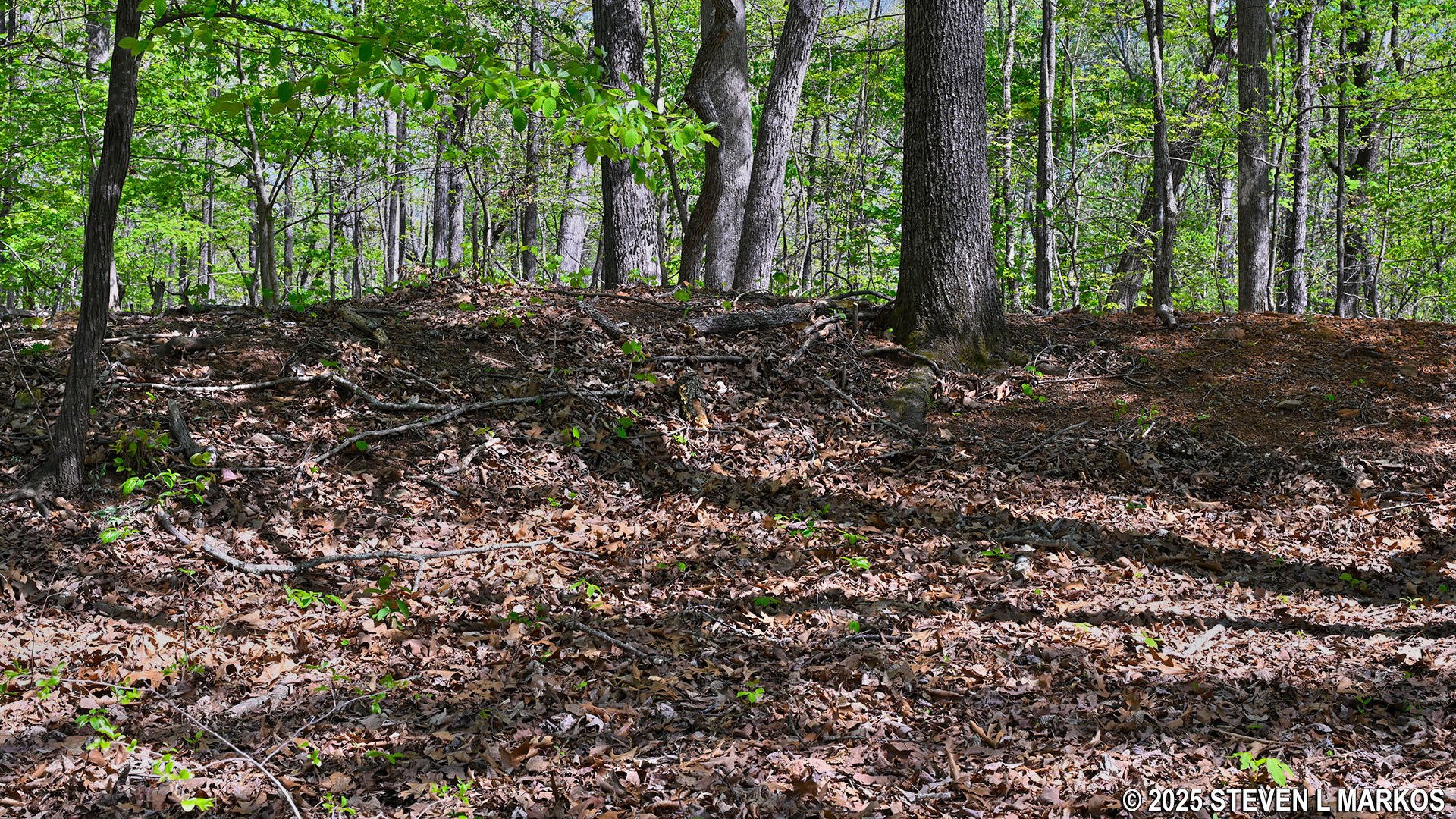
At the top of the hill are some more earthworks, and a little less than a tenth of a mile later is the site of the former New Salem Church. As mentioned, there is no longer a building, and the New Salem community never rebuilt it at this location. A short side trail leads to a rail fence that encircles the church site.

Confederate earthworks near the New Salem Church site, Kennesaw Mountain National Battlefield Park
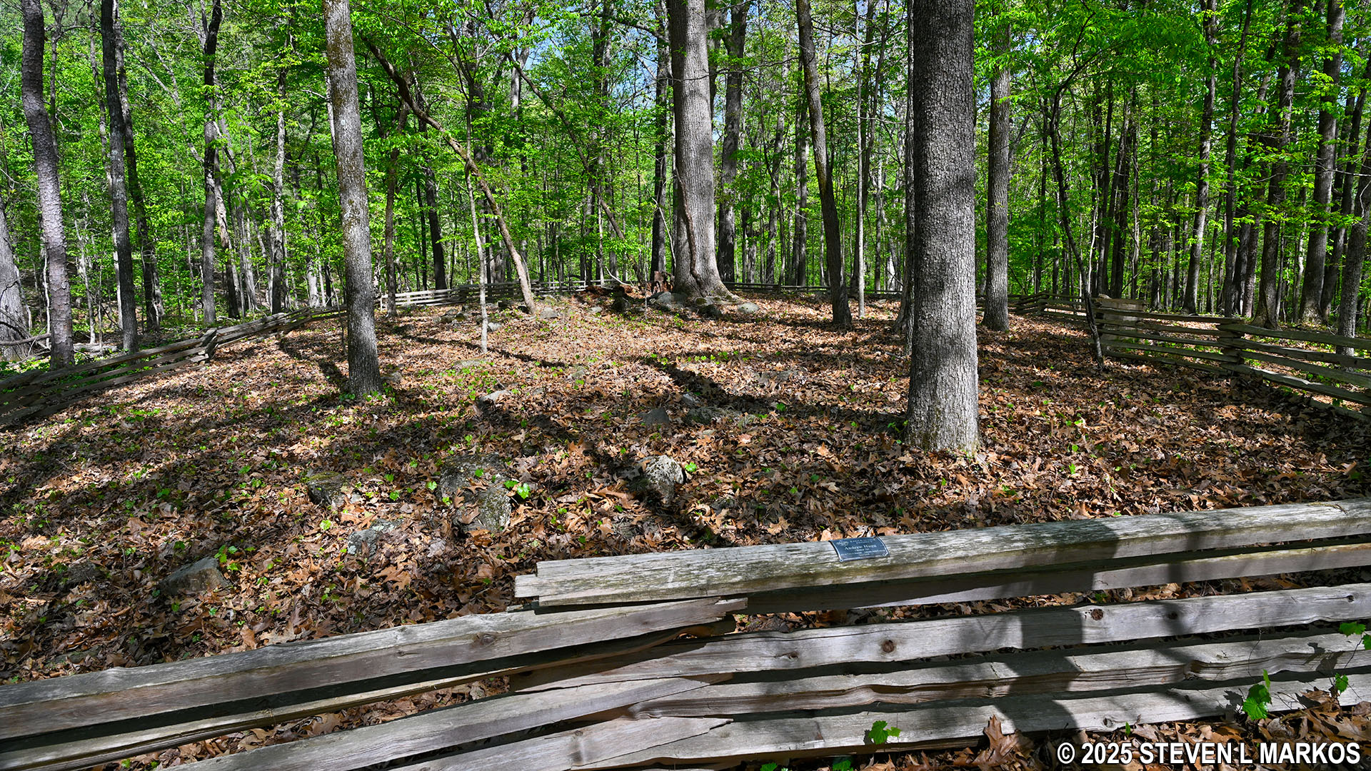
Site of the former New Salem Church, Kennesaw Mountain National Battlefield Park
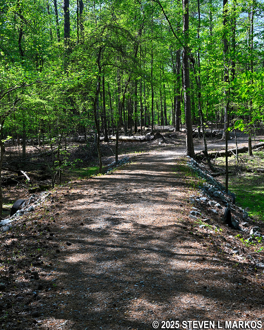
Just beyond the church site is one last downhill stretch of trail. It is 100 yards in length and similar in difficulty to the hike up the hill. At the bottom, the New Salem Church Trail becomes a wide and flat path as it curves to the west and follows along Burnt Hickory Road.
Northern end of the New Salem Church Trail follows Burnt Hickory Road, Kennesaw Mountain National Battlefield Park
Typical terrain at the northern end of the New Salem Church Trail in Kennesaw Mountain National Battlefield Park
After .75 mile, the trail ends at Burnt Hickey Road. Take a left on the multi-use path to get back to the Pigeon Hill Parking Lot .2 mile away.
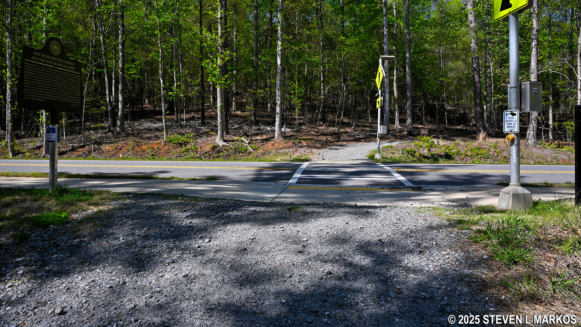
Northern trailhead of the New Salem Church Trail at Burnt Hickory Road in Kennesaw Mountain National Battlefield Park
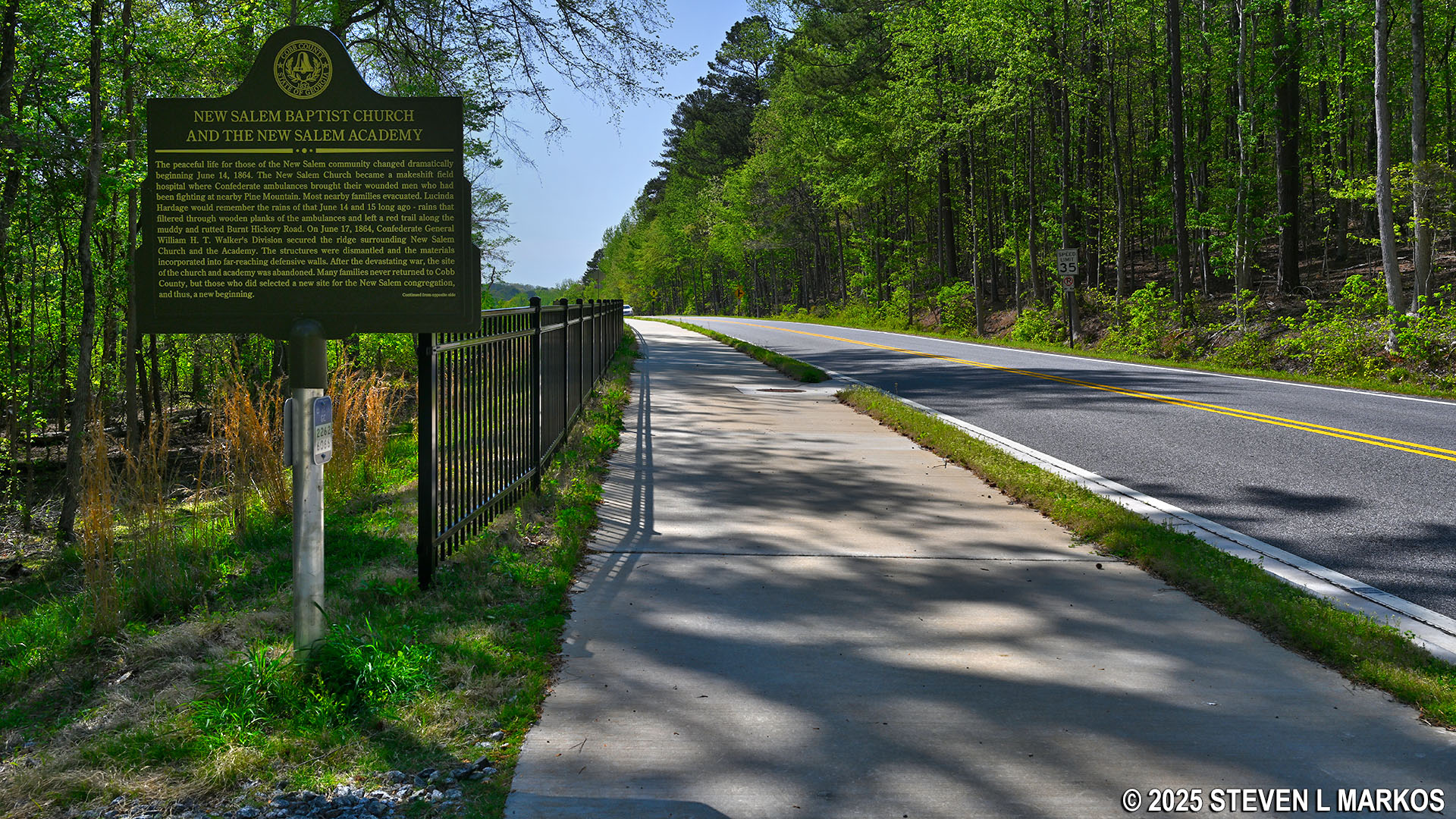
Multi-use path runs between the northern trailhead for the New Salem Church Trail and the Pigeon Hill Parking Lot at Kennesaw Mountain National Battlefield Park
With a few exceptions, use of any photograph on the National Park Planner website requires a paid Royalty Free Editorial Use License or Commercial Use License. See the Photo Usage page for details.
Last updated on April 23, 2025


