
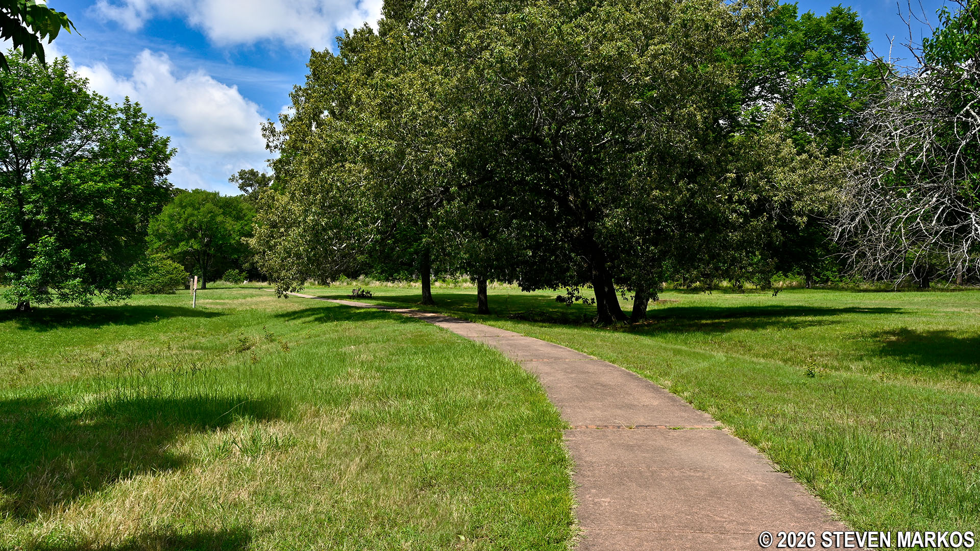
Paved Connector Trail at Arkansas Post National Memorial
Length: 1.75-mile loop
Time: 1 hour
Difficulty: ★☆☆☆☆
The Post Bayou Nature Trail, the Connector Trail, and a path around Park Lake are the only hiking / walking trails at Arkansas Post National Memorial. They can all be hiked together to form a flat-and-easy 1.75-mile Figure-8-shaped loop with paved and unpaved sections. Trailheads are located at various places, including the Picnic Area and a parking lot on the road to the Picnic Area, but the most obvious starting point is at the northern end of the Visitor Center parking lot. Starting here sets you off hiking the loop in the counterclockwise direction. This is where I started, and this report is written from that perspective.
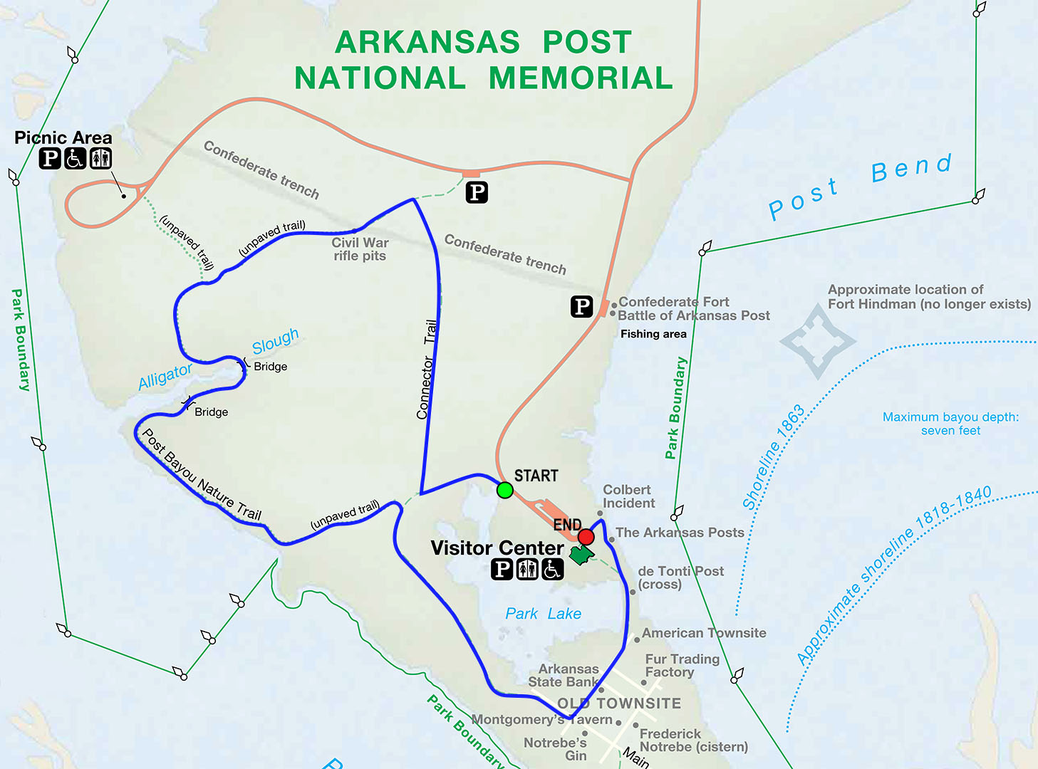
Arkansas Post National Memorial trail map
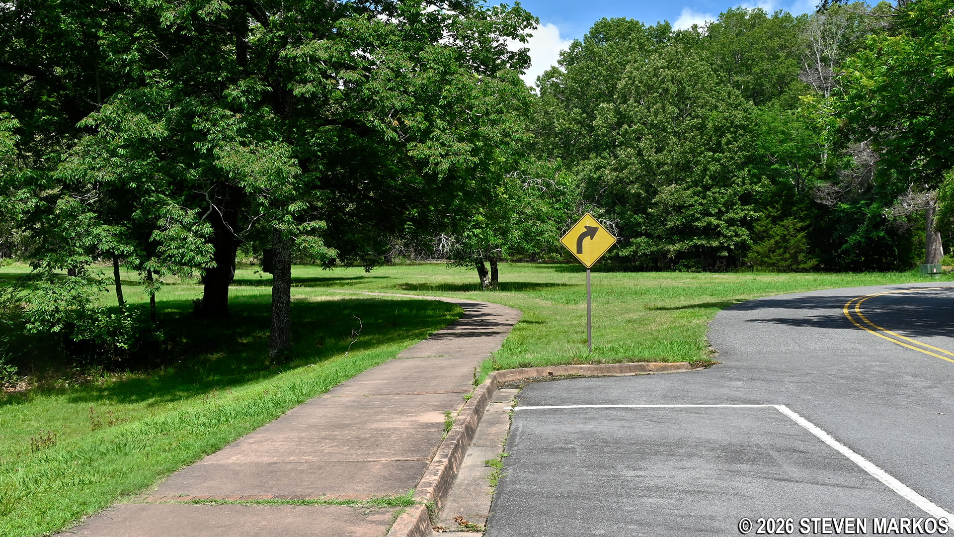
Start of the Connector Trail at the parking lot for the Arkansas Post National Memorial Visitor Center
The beginning of the trail is lined with a few historical markers that tell of Arkansas Post’s origins as a French settlement. The original trading post was established in 1686 by Frenchman Henri de Tonti. It was actually east of the present Arkansas Post National Memorial in an area now covered with water. De Tonti’s trading post did not last long, and in 1722, France’s King Louis XIV authorized John Law to settle the area. A military fort was built in 1752. The locations of the original settlements and the fort are not known with certainty, other than they were in the general area of the park. In fact, the location of the Arkansas Post was moved several times during the French and Spanish occupation of the area, which lasted until 1803 when a vast mass of land was transferred to the United States by France with the Louisiana Purchase. Because these historical locations are not known, the park is designated as a Memorial and not a Historic Site.
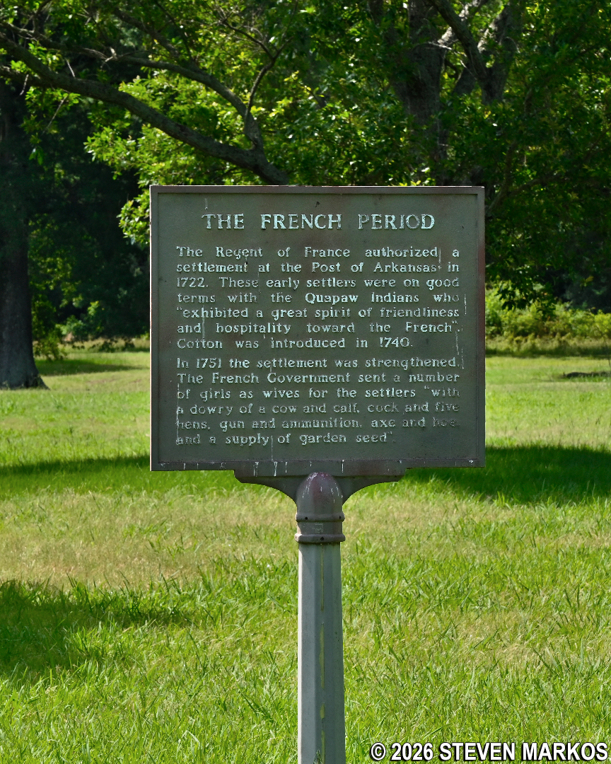
Historical marker on Arkansas Post’s French Period, Arkansas Post National Memorial
There is also a small monument commemorating the creation of Arkansas Post State Park in 1929. The state park became a federal park in 1960 when Arkansas Post National Memorial was established.
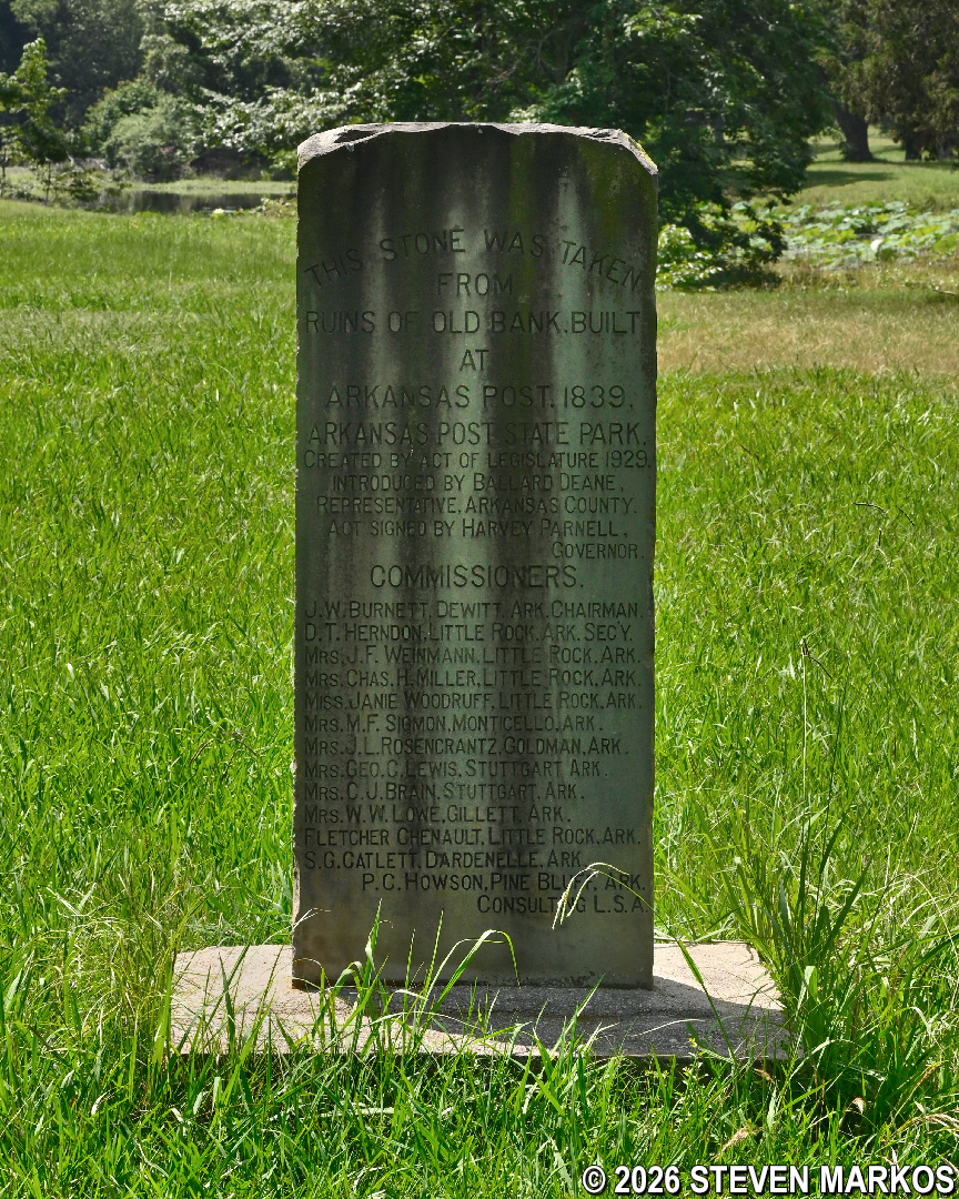
Monument commemorating the creation of Arkansas Post State Park, Arkansas Post National Memorial
In less than a tenth of a mile from the start, the Connector Trail reaches the junction of the north and south loops of the Figure-8. Make a right to continue the hike on the upper loop towards the Civil War rifle pits. If you want a shorter hike, you can continue straight and make a left at the next intersection. This allows you to hike the lower loop around Park Lake and back to the Visitor Center.
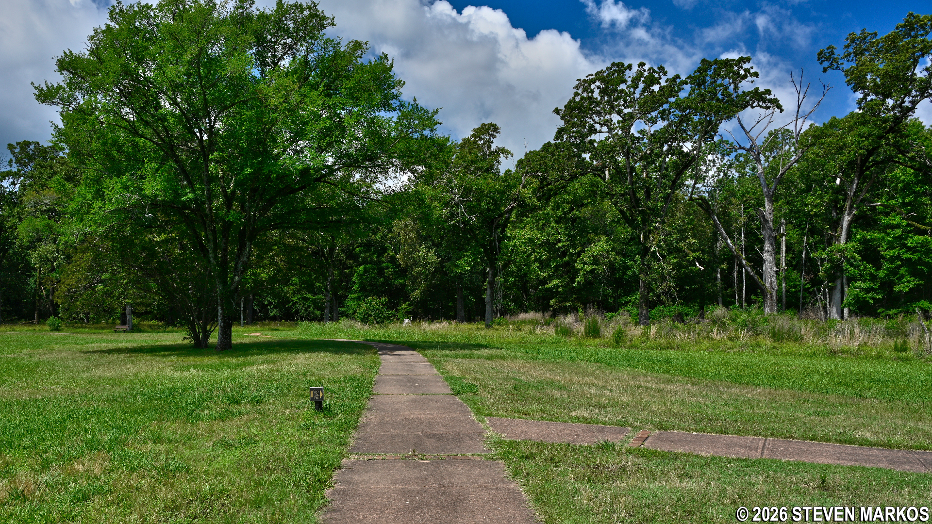
Turn on the Connector Trail towards the northern end of Arkansas Post National Memorial
Three-tenths of a mile from the turn is a short path on the right that leads to a small parking lot on the road to the Picnic Area. The path is lined with wayside exhibits featuring quotes from Civil War soldiers who fought in the Battle of Arkansas Post in early January 1863. Being on a peninsula, Arkansas Post was of major strategic importance to the Confederates for protecting the Arkansas River, which connected to the Mississippi River just a few miles to the south. Fort Hindman, an earthen fort, was built to the east of where you are now standing along what was once the bank of the Arkansas River. Today, due to changes in the river’s course, the fort site is now underwater in Post Bend, which formed when water filled in an abandoned channel of the Arkansas River. If you have a big interest in the Civil War, you might want to make this .1-mile round-trip detour. If not, just keep straight on the main path. (Note that the trail map shows a sharp left turn at this intersection, but the Connector Trail really just curves around to the left.)
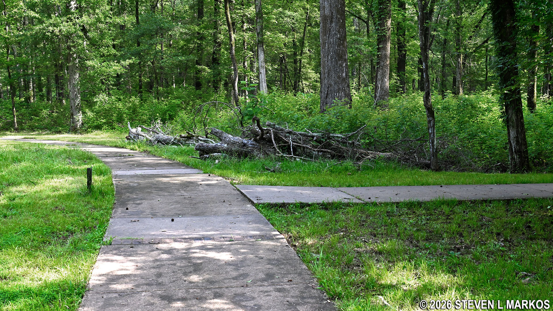
Intersection of the Connector Trail and a path to a parking lot on the Picnic Area road, Arkansas Post National Memorial
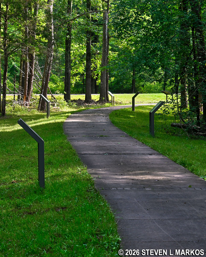
Wayside exhibits along the path from the Connector Trail to a parking lot on the Picnic Area road, Arkansas Post National Memorial
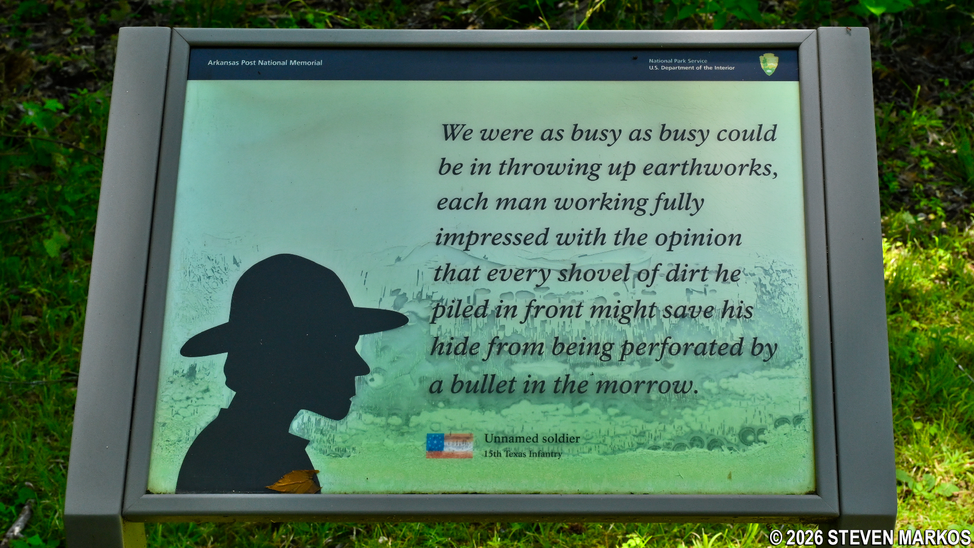
Civil War quote panel along the path from the Connector Trail to a parking lot on the Picnic Area road, Arkansas Post National Memorial
A hundred yards farther ahead is an exhibit about Civil War rifle pits. The Confederates dug a defensive earthwork (the rifle pits) 720 yards across the peninsula in anticipation of a land attack by the Union Army, which had to come from the north, for the Arkansas River formed a natural barrier to the south (of course, the river would not stop a Union naval attack). The Union sought to capture Fort Hindman and the Arkansas Post in its ultimate quest to control the Mississippi River. The Battle of Arkansas Post began on January 9, 1863, and continued until the Confederates surrendered on the 11th.
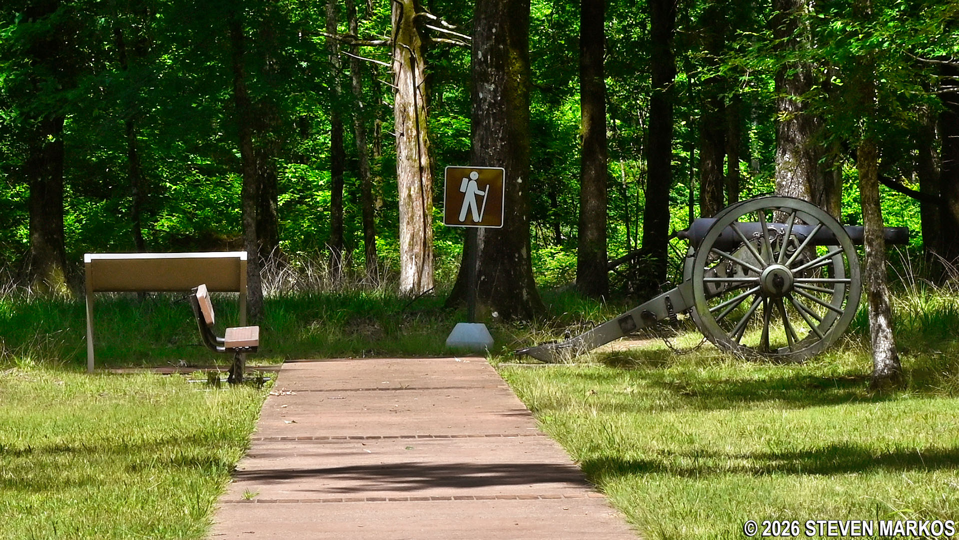
Confederate Rifle Pits exhibit at the end of the Connector Trail at Arkansas Post National Memorial
The earthwork stretched from Post Bayou to the west (then a narrow waterway) to Fort Hindman to the east. A ditch was dug, and the dirt was piled up to form a defensive wall (typically 6 to 8 feet tall). The Confederate soldiers also had to tear down their newly built barracks so they could use the wood to reinforce the earthen structure. All that remains today is a shallow ditch. When standing at the Rifle Pits exhibit, the earthen walls would have been on the left side of the ditch. The Union attack came from the right (north).
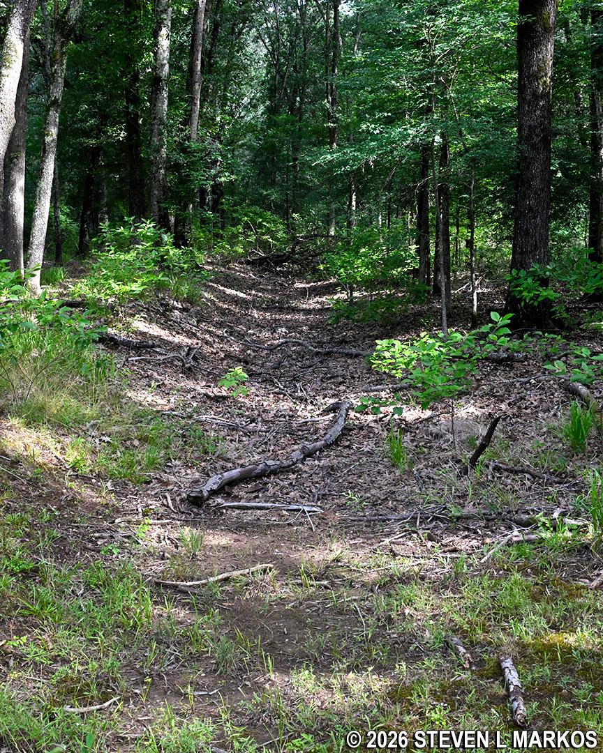
Barely visible remnants of the Confederate trenches and rifle pits at Arkansas Post National Memorial
The paved Connector Trail ends at the rifle pits, and the unpaved Post Bayou Nature Trail begins. The path is still wide and relatively flat, and it is mostly covered in grass at this point.
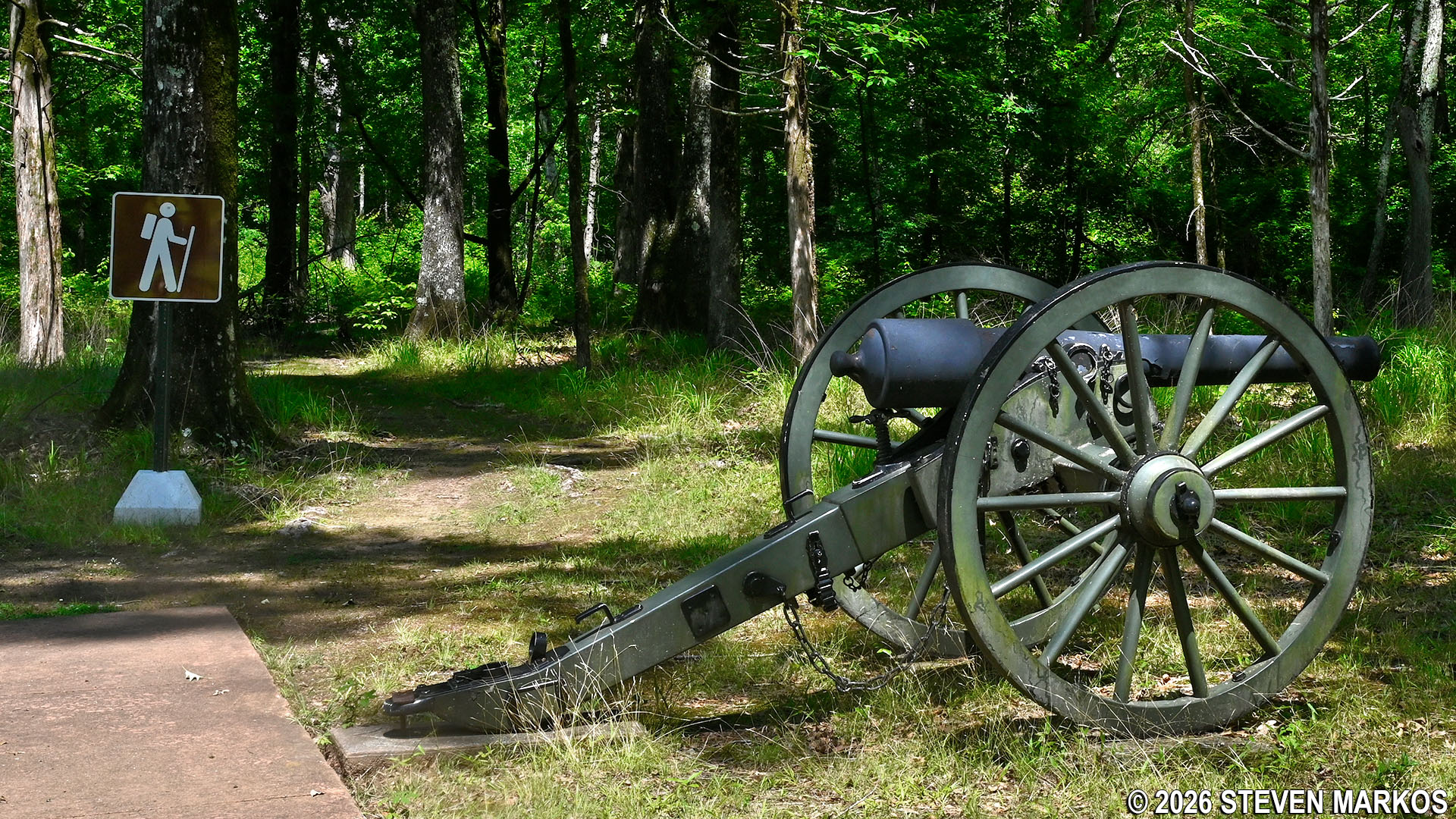
End of the Connector Trail and start of the earthen Post Bayou Nature Trail at Arkansas Post National Memorial
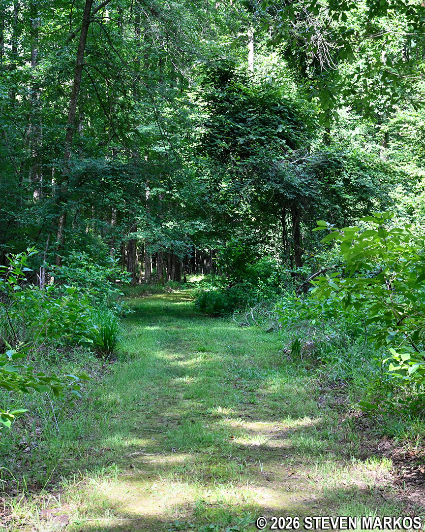
Typical terrain on the Post Bayou Nature Trail when starting from the Rifle Pits exhibit, Arkansas Post National Memorial
Two-tenths of a mile past the rifle pits exhibit is another short side trail on the right that leads to the Picnic Area (another spot where hikers can start the trail loop). The path dead ends at a large field. The picnic tables are located in the wooded area on the other side. There is a modern restroom at the picnic area, but other than that, there is no reason to take this path unless you also want to have a picnic.
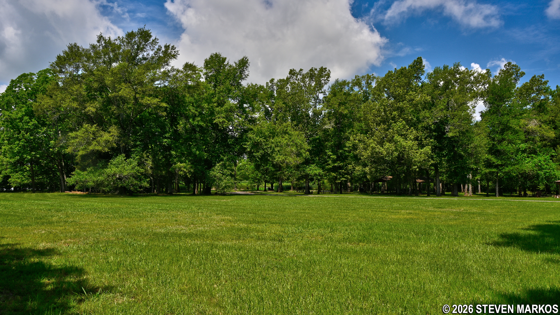
Large field next to the Picnic Area at Arkansas Post National Memorial
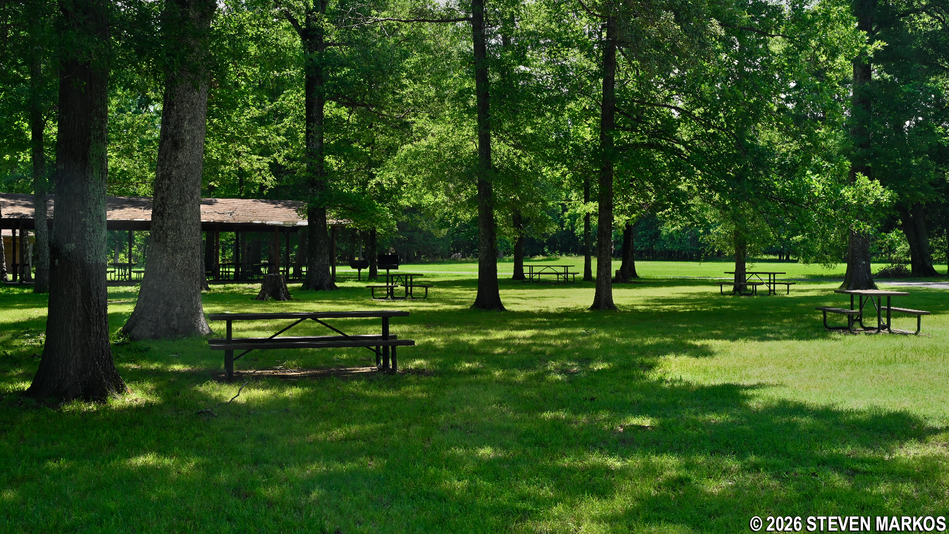
Picnic Area at Arkansas Post National Memorial
Not too far after passing the path to the Picnic Area is an unmarked intersection that is not on the trail map. Stay to the left to remain on the Post Bayou Trail. I have no idea where a right leads to, but it is a wide path like a former dirt road.
Shortly thereafter, the Post Bayou Nature Trail crosses over Alligator Slough (a small creek that flows into Post Bayou) via two footbridges. A barely legible wayside exhibit about the alligators in the area was how I realized I needed to watch out for them. Depending on what time of year you visit the park, you may spot one, but thankfully none crossed my path.
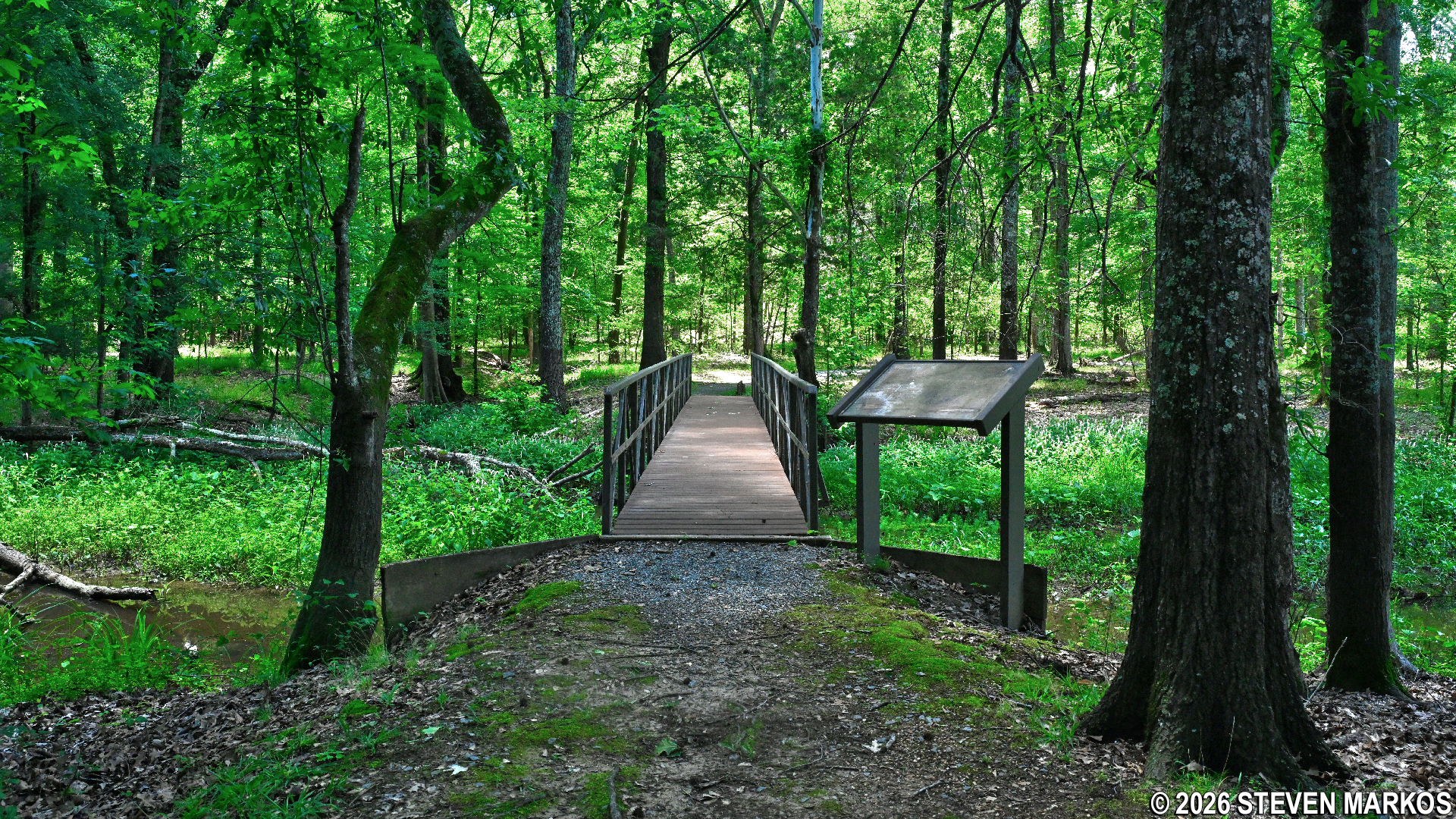
Bridge across Alligator Slough on the Post Bayou Nature Trail at Arkansas Post National Memorial
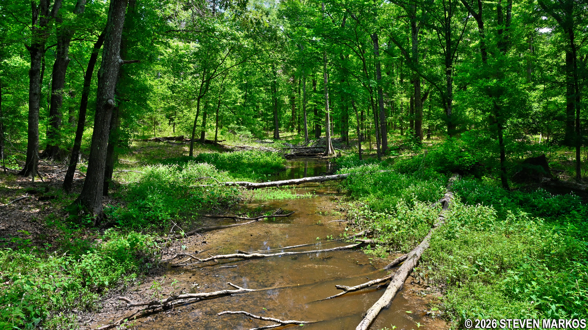
View of Alligator Slough from the Post Bayou Nature Trail, Arkansas Post National Memorial
Once around Alligator Slough, the trail becomes a gravel path and runs parallel to Post Bayou. Trees and other vegetation stand between the trail and the bayou and often block the view, but there are a few gaps where you can see the water. A bench along the trail offers a spot for those who want to enjoy the view.
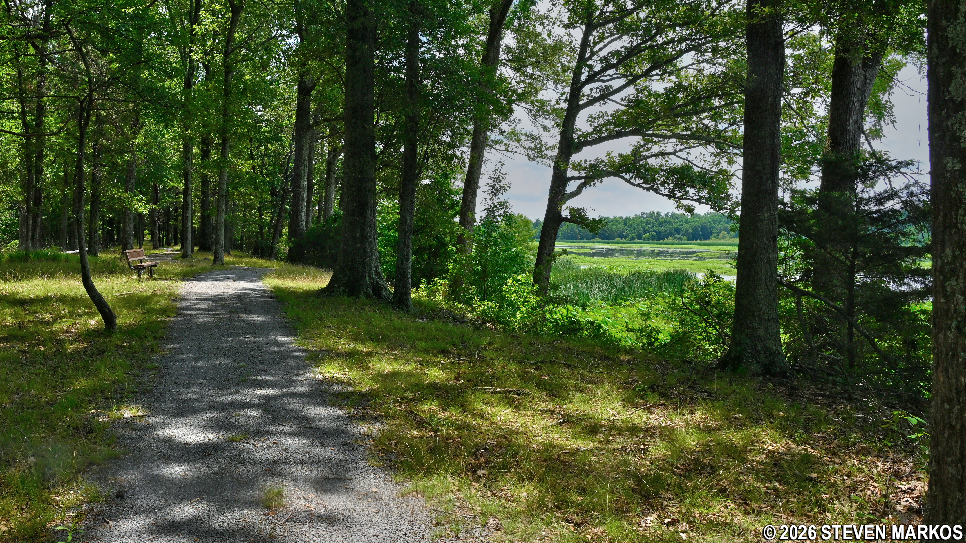
Typical terrain on the western side of the Post Bayou Nature Trail at Arkansas Post National Memorial
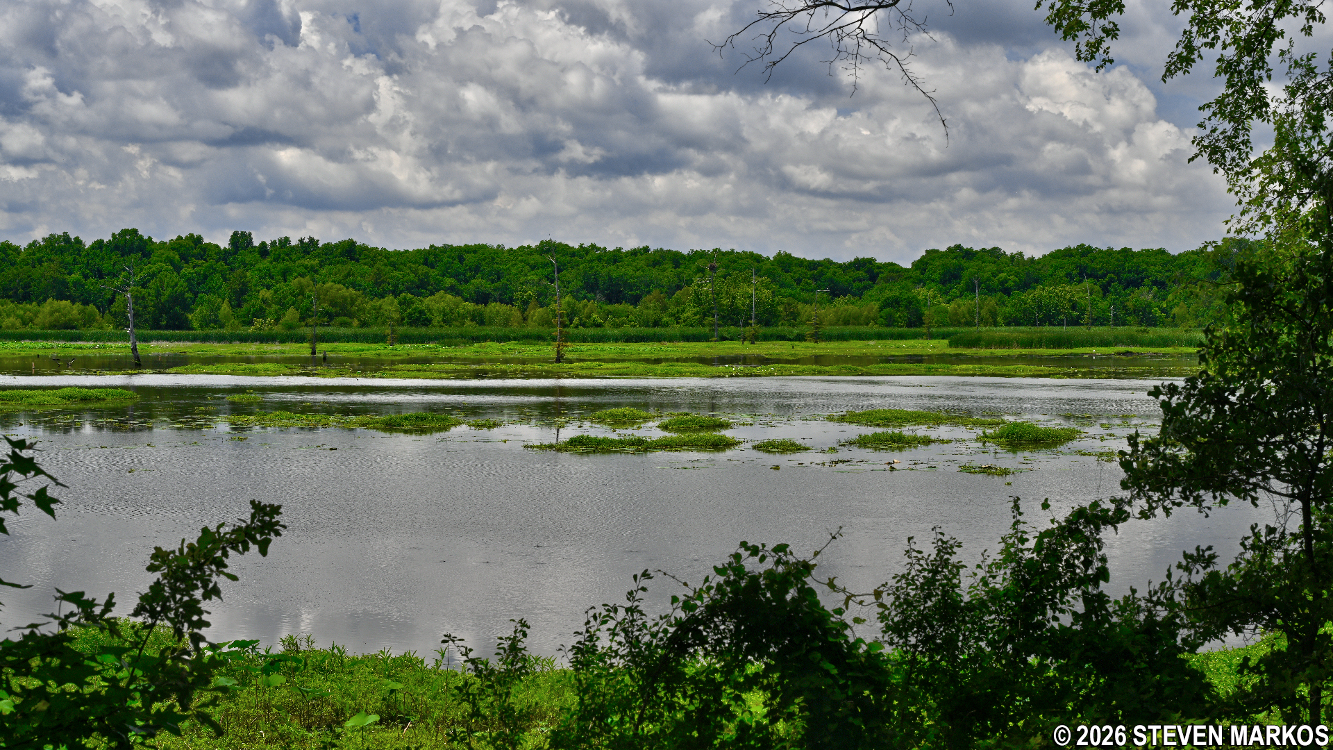
View of Post Bayou from the Post Bayou Nature Trail at Arkansas Post National Memorial
While I did not spot any alligators, I did come across an armadillo. I’m guessing he was scrounging for food because he was nosing around in the leaves and seemed unbothered by me. These animals are responsible for holes dug throughout the park. The field next to the picnic area is full of them.
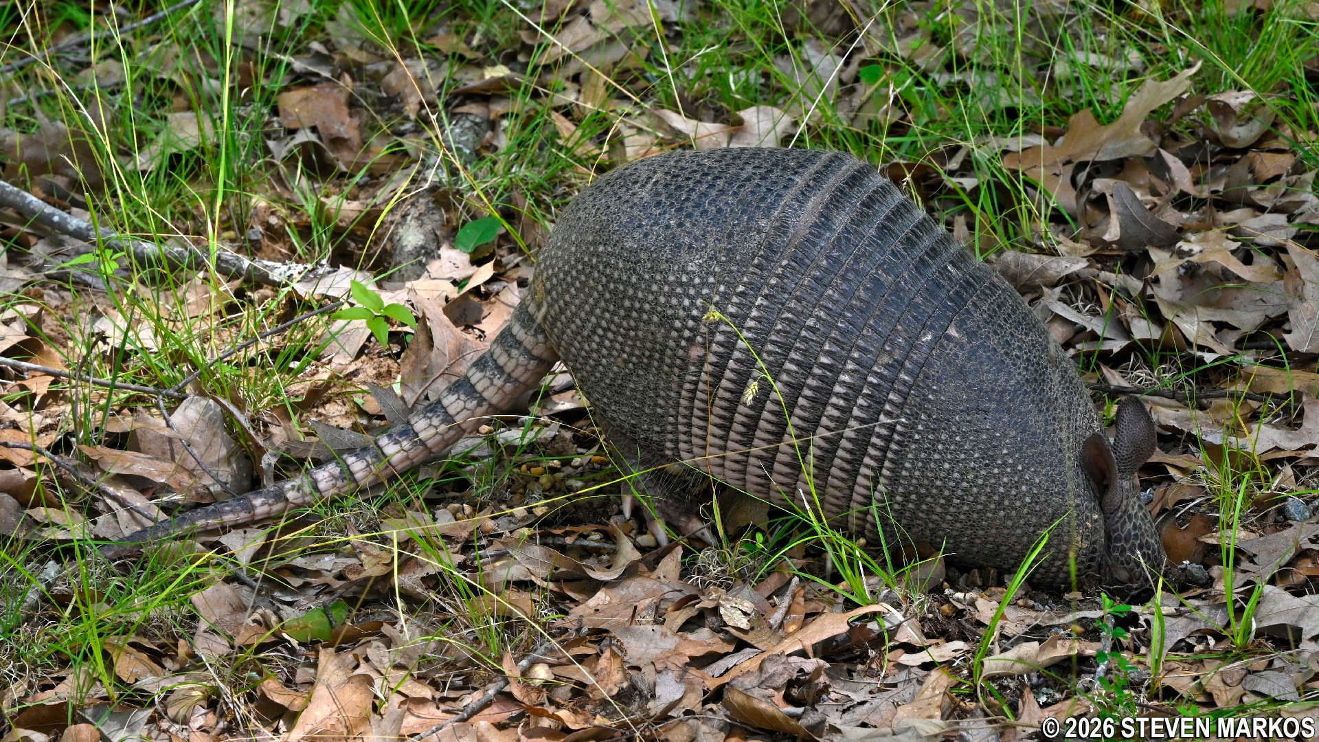
Armadillo seen on the Post Bayou Nature Trail at Arkansas Post National Memorial
The Post Bayou Nature Trail officially ends where the earthen trail becomes paved once again, which is about .3 miles from when it started following along Post Bayou. After a hundred feet on the pavement is the intersection leading to the lower loop around Park Lake. In truth, this section of the trail has no name, so for simplicity’s sake, I’ll call it the Park Lake Trail. Take a right to head south around the lake. If you stay to the left, you’ll end up back at the Connector Trail.
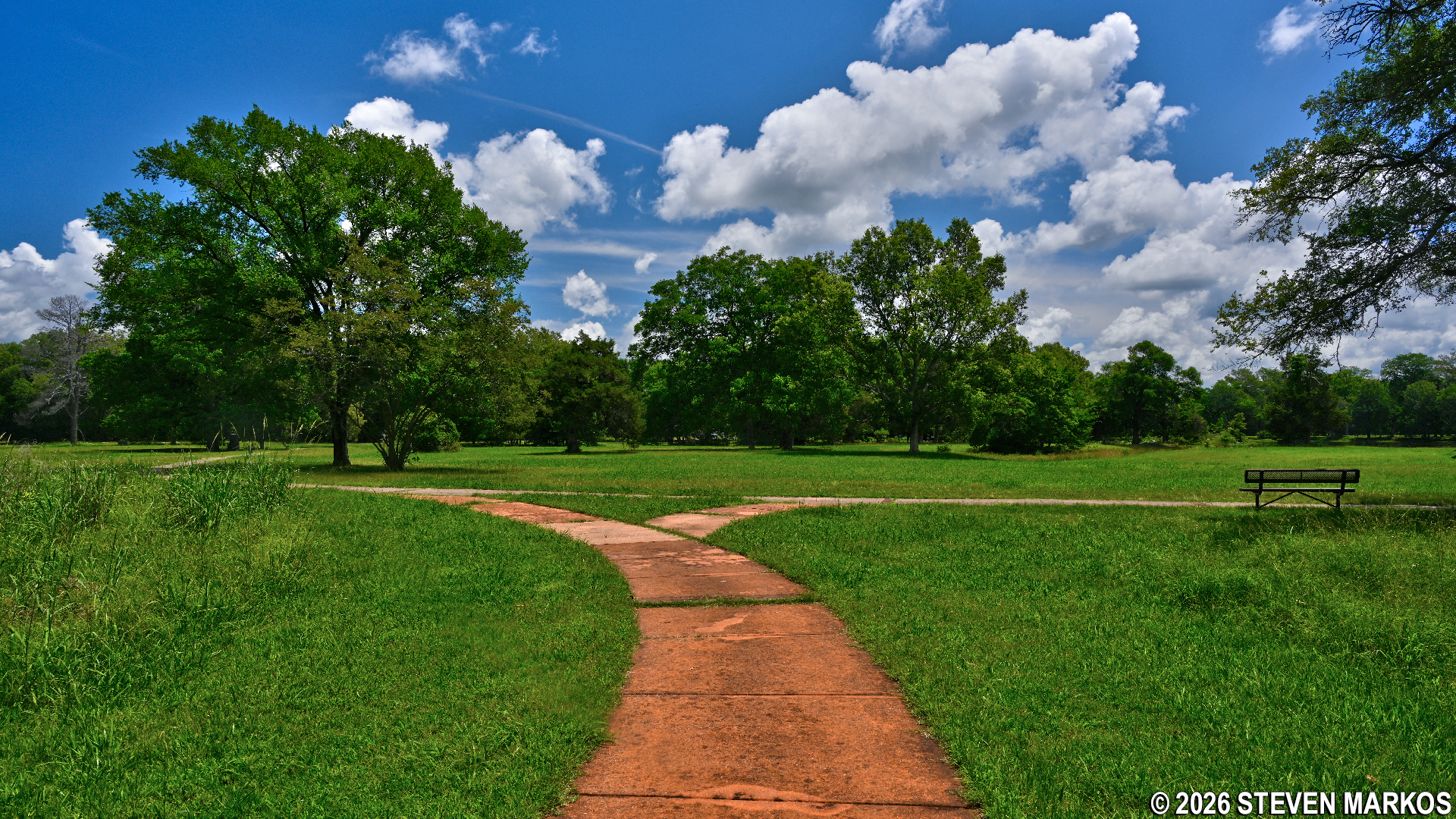
Intersection between the upper and lower loops of the hiking trails at Arkansas Post National Memorial
More historical markers about Arkansas Post’s history are along the Park Lake Trail. These cover the Spanish period (1763 to 1800), the French under Napoleon (1800 to 1803), and the Americans after France sold the area to the United States with the Louisiana Purchase. There are also a lot of nice views of Park Lake, which is a manmade lake constructed in 1930 when Arkansas Post State Park was created.
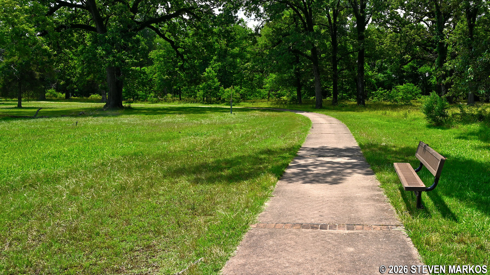
Path around Park Lake at Arkansas Post National Memorial
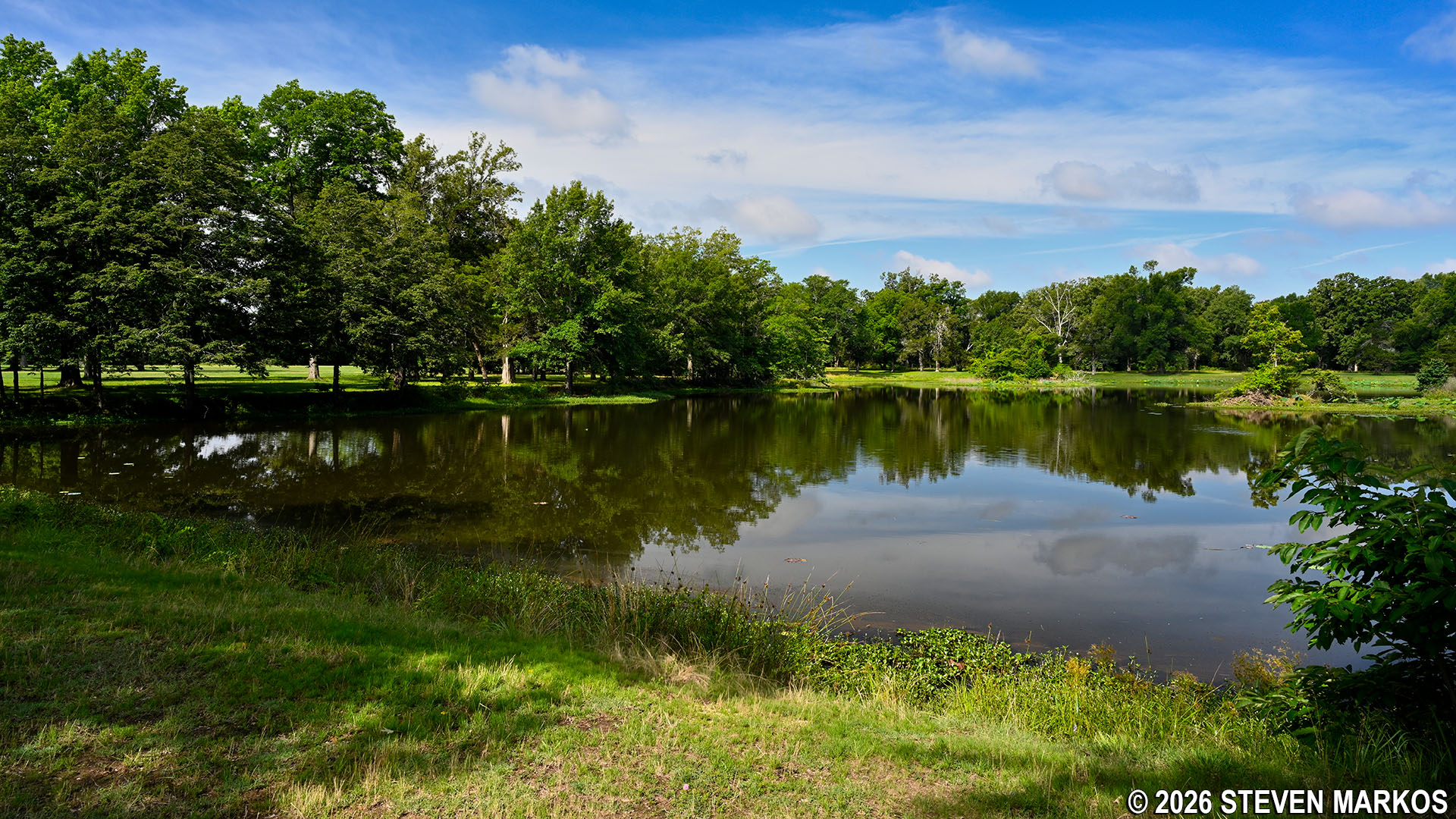
View of Park Lake at Arkansas Post National Memorial
The Park Lake Trail ends at the old Arkansas Post Townsite. The paths through the townsite are also paved, so it is hard to tell where one trail ends and the other begins, but when you come to a large field with wayside exhibits and other markers on it, you’ll know you have arrived.
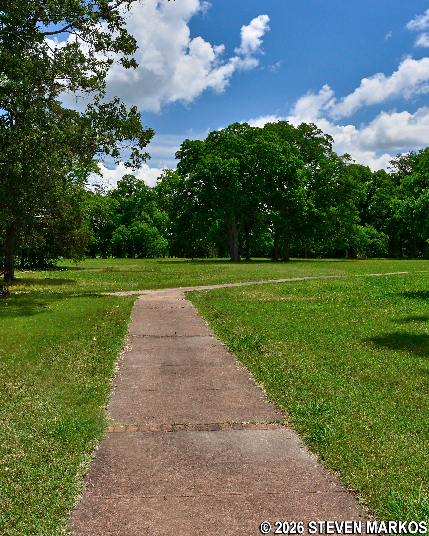
Intersection of the Park Lake Trail and the northeast corner of the Arkansas Post Townsite, Arkansas Post National Memorial
If you haven’t seen the Old Townsite, now is a good time to do so. A tour adds a little over a mile to the hike. If you couldn’t care less and just want to get back to the Visitor Center, continue south and take the first paved path to the left. This cuts across to the other side of the peninsula, and on the way you should pass the site of the old Arkansas State Bank.
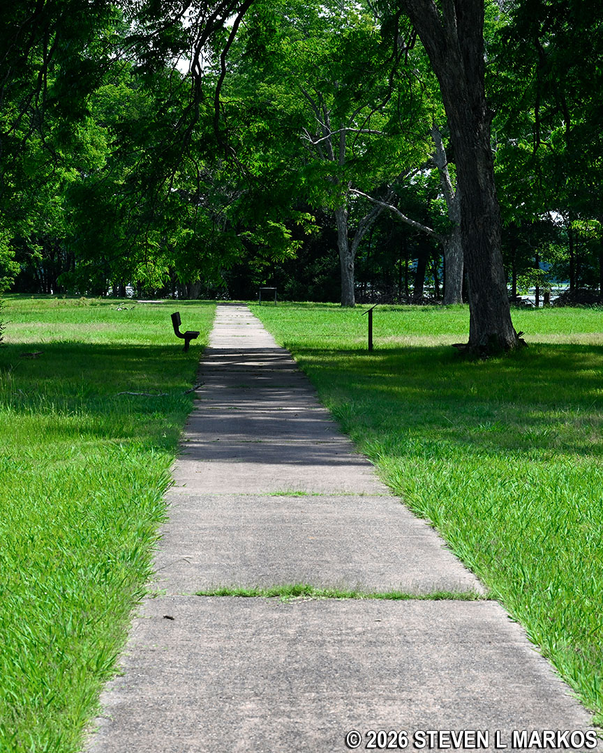
Paved path through the Old Arkansas Post Townsite at Arkansas Post National Memorial
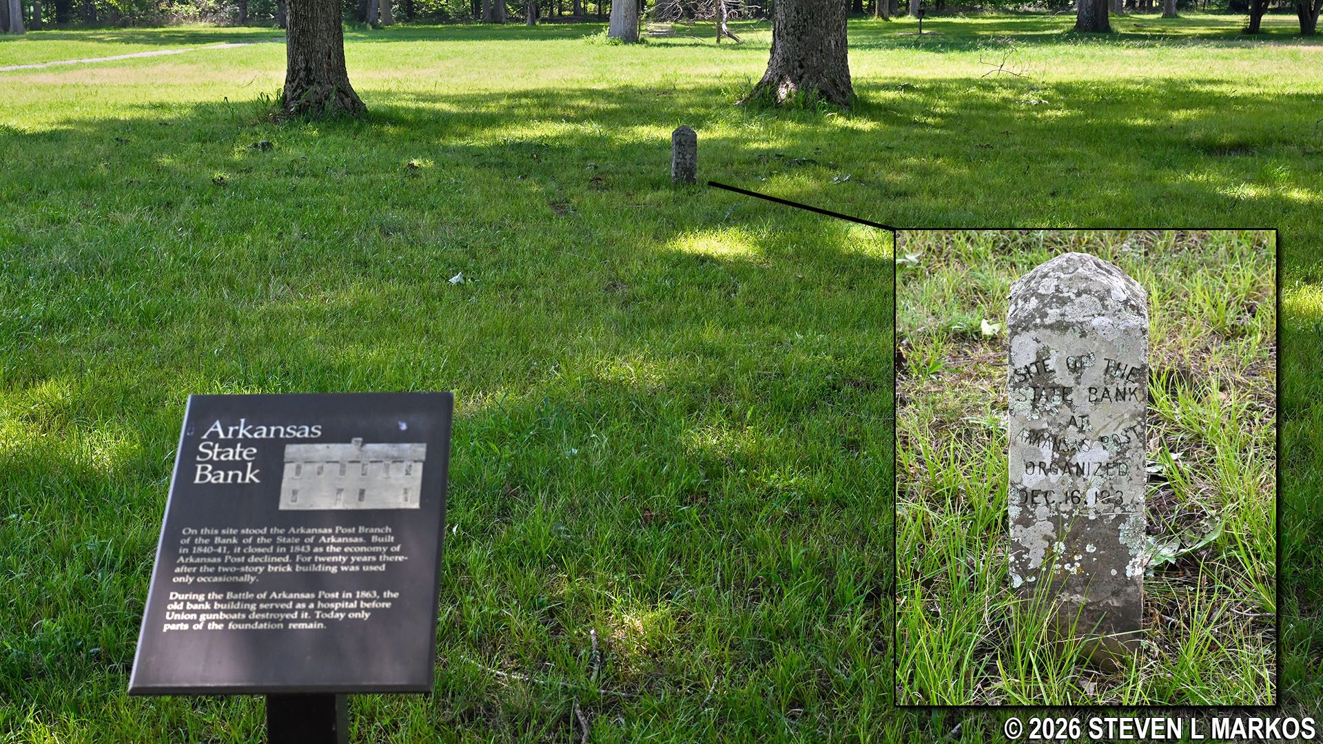
Site of the Arkansas State Bank at the Old Arkansas Post Townsite, Arkansas Post National Memorial
Once on the other side of the peninsula, you’ll have a nice view of Post Bend. There are also some wayside exhibits about the Union naval bombardment of Fort Hindman. The firepower of the ironclad gunboats destroyed the fort, and the Confederates eventually had to surrender. The exhibits are just out front of the Visitor Center where the hike concludes.
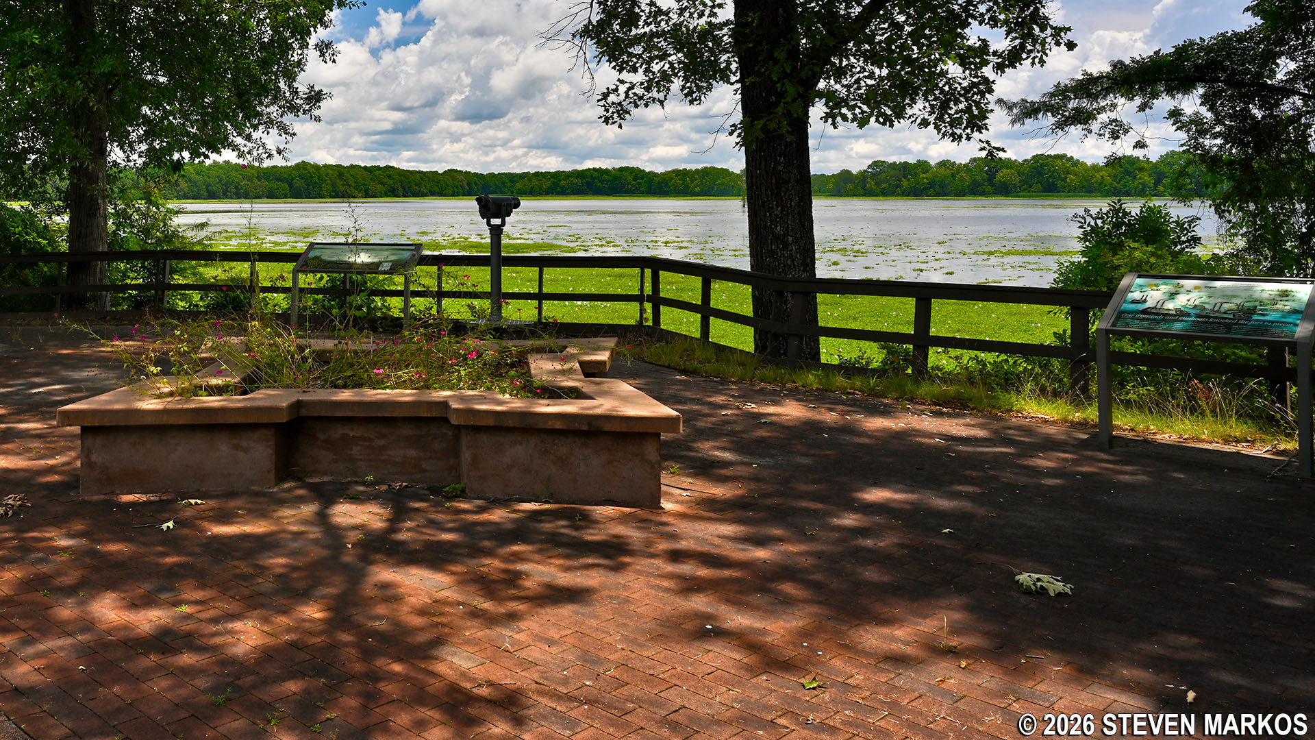
Wayside exhibits near the shore of Post Bend about the Union naval bombardment of Fort Hindman during the Civil War, Arkansas Post National Memorial
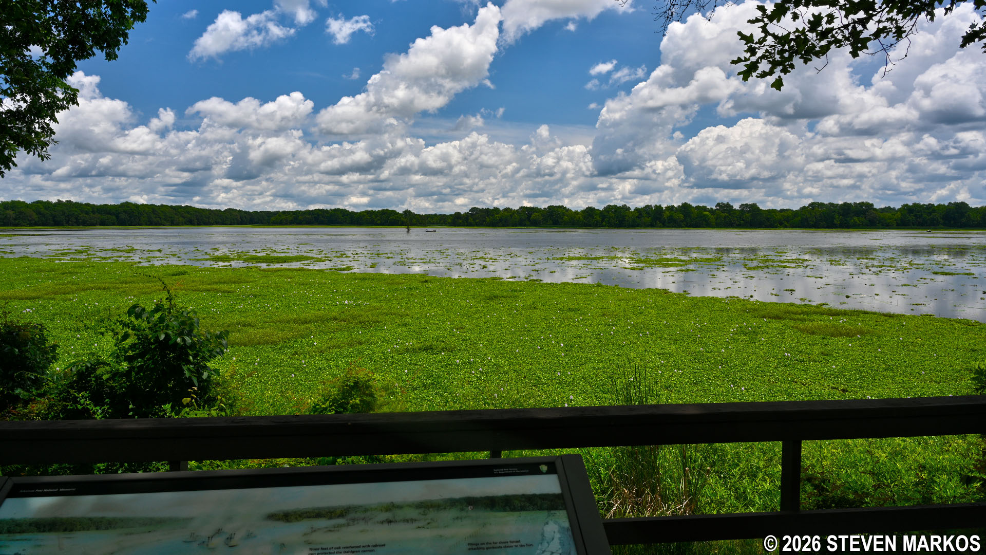
View of Post Bend, Arkansas Post National Memorial
I visited the park and hiked the trails in late May, and the weather was already miserable. In fact, I visited on a Saturday and was one of the only people in the park. This certainly should come as no surprise—it’s the South and it’s on the water. Humidity was very high. I was soaked not long after starting the hike. Arkansas Post National Memorial is definitely a place that should be visited in the fall, winter, and spring. Avoid the summer if at all possible.
With a few exceptions, use of any photograph on the National Park Planner website requires a paid Royalty Free Editorial Use License or Commercial Use License. See the Photo Usage page for details.
Last updated on November 11, 2026


