

Powers Island Loop Hike (click to enlarge)
Powers Island Loop Hike
Length: estimated 1.5 miles
Time: 1 hour
Difficulty: moderate, mainly flat but with one steep hill
Download the Powers-Island-Trail-Map (PDF)
The hiking trail at Powers Island is located on the mainland, not the actual island. I started my hike at the far right corner of the parking lot (PI 5 on the map) and ended it at the left corner (PI 4, which isn’t easy to see). This is a loop hike, so of course you can start at either location, but this trail report describes the hike in the counterclockwise direction.
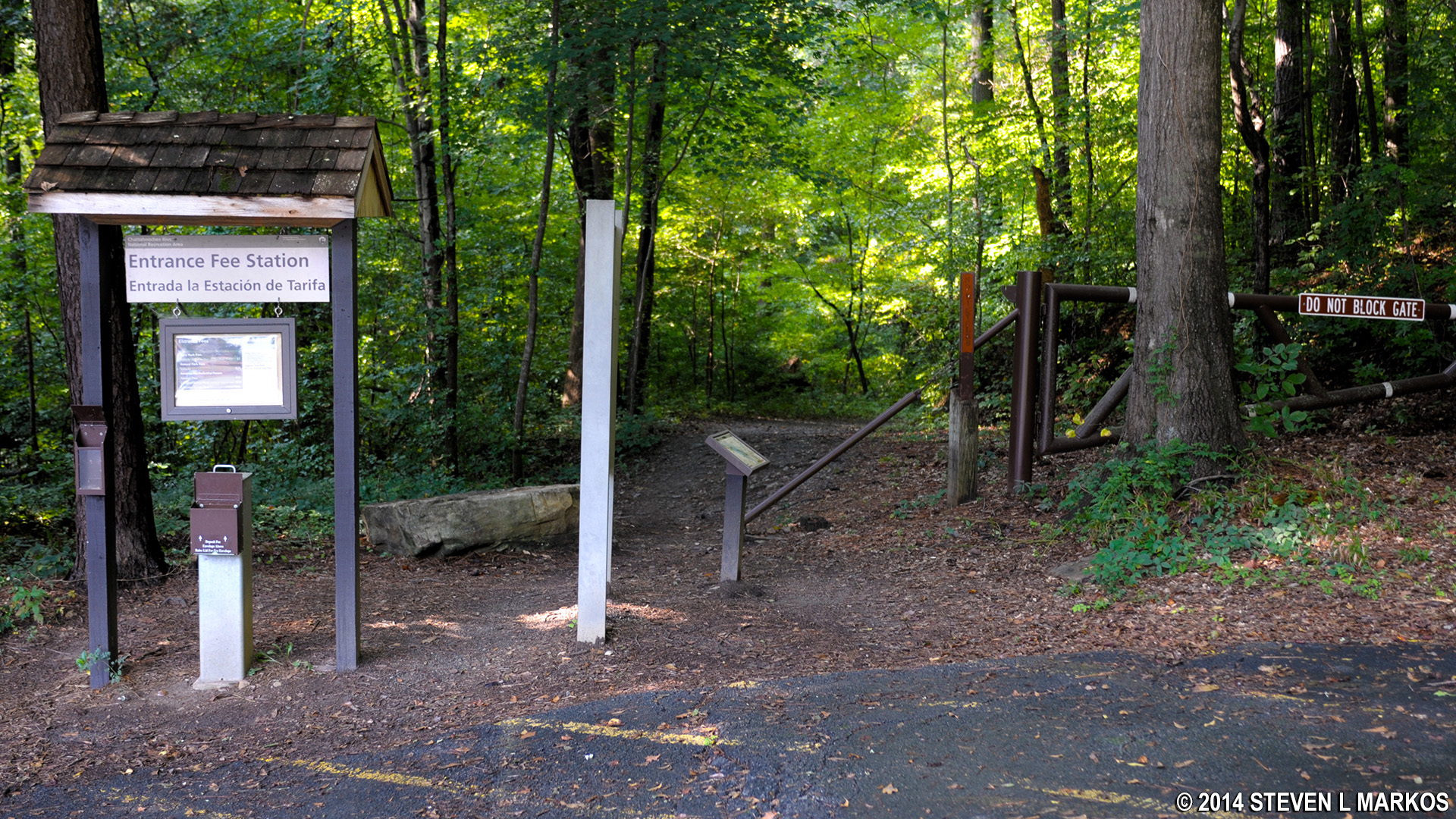
Trailhead at the right side of the parking lot at Powers Island, Chattahoochee River National Recreation Area
The trail starts off as a gravel path, wide and smooth with very few roots and rocks to trip you up.
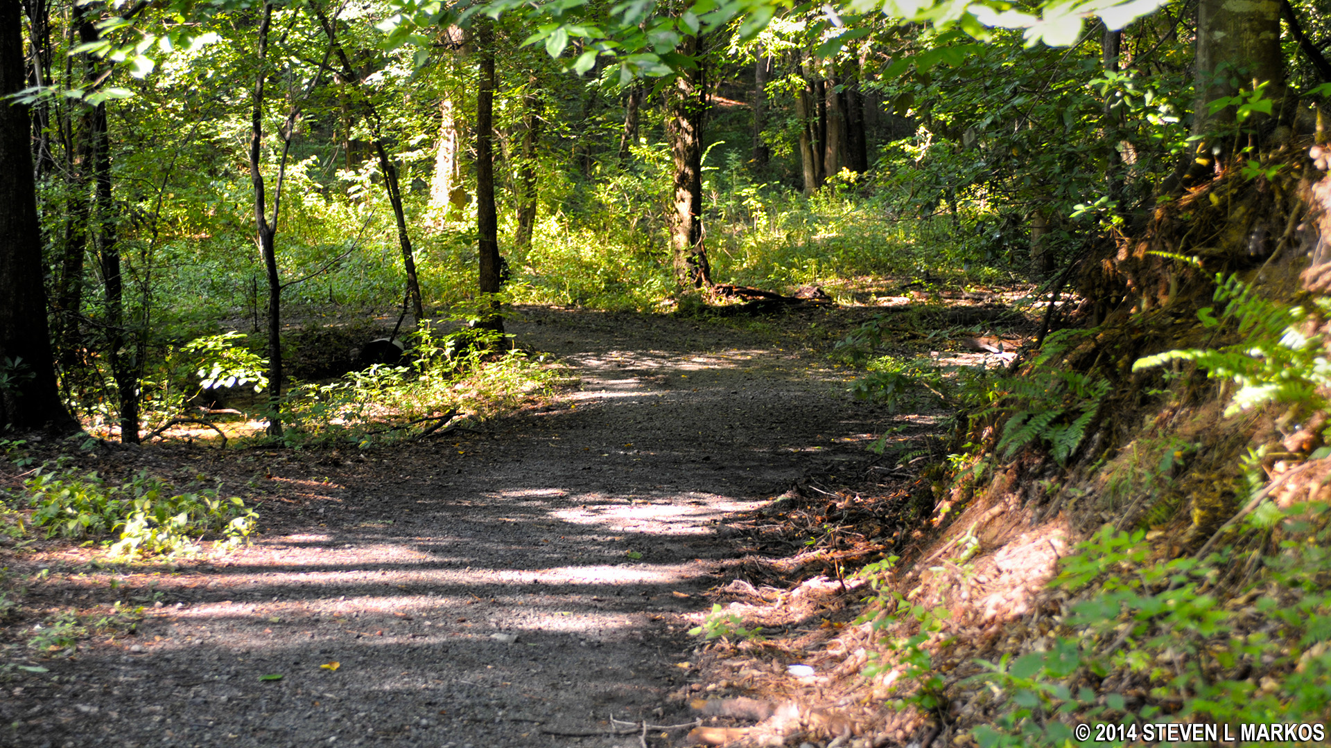
Gravel trail at the start of the loop hike in the Powers Island section of Chattahoochee River National Recreation Area
Turn right at the first intersection (PI 6) to hike what amounts to an inland loop trail that eventually ends at intersection PI 7. As you proceed counterclockwise along this section of the trail you will be going uphill—and it is a fairly steep and steady climb to the top. Of course, when you pass the halfway point to hike back towards the river, the trail heads rather steeply downhill. Also, the inland loop is no longer a wide, gravel path but a narrow trail that cuts through ivy and other thick, short ground cover. (If you are not able to hike up and down the hill, just stay straight at PI 6 and continue to PI 7 just up ahead.)
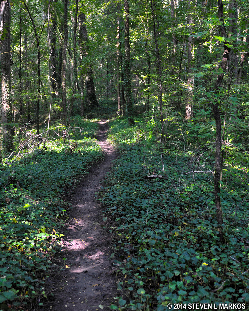
Terrain of the inland loop trail between intersections PI 6 and PI 7 in the Powers Ferry section of Chattahoochee River National Recreation Area
When you get to PI 7 you are not yet on the segment of the trail that runs along the Chattahoochee River. To get there, turn right and walk about a minute farther to intersection PI 8. At this point you can turn left and head back to the parking lot or take a right and walk until you hit the park boundary to the north, which is less than ten minutes away. I recommend going to the right, for there are a few interesting things to see down this path.
One thing of interest is a small river cane forest. River cane is bamboo, and since you don’t find many bamboo forests in Georgia, it’s worth the few minutes’ walk to see it.
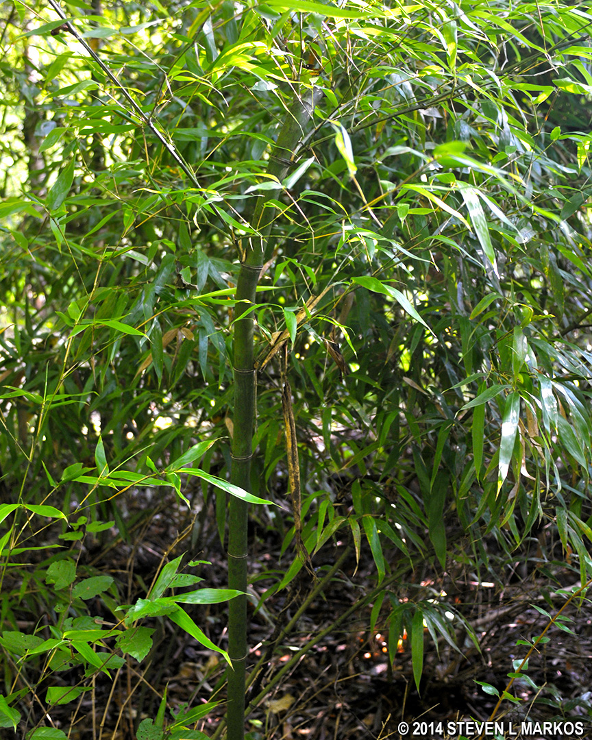
River Cane growing along the Chattahoochee River
There are also some good, unobstructed views of the Chattahoochee along this path. In fact, it is only here that you can see the main channel of the river. The hike back to the parking lot is along the eastern side of Powers Island, which is separated from the mainland by a narrow waterway.
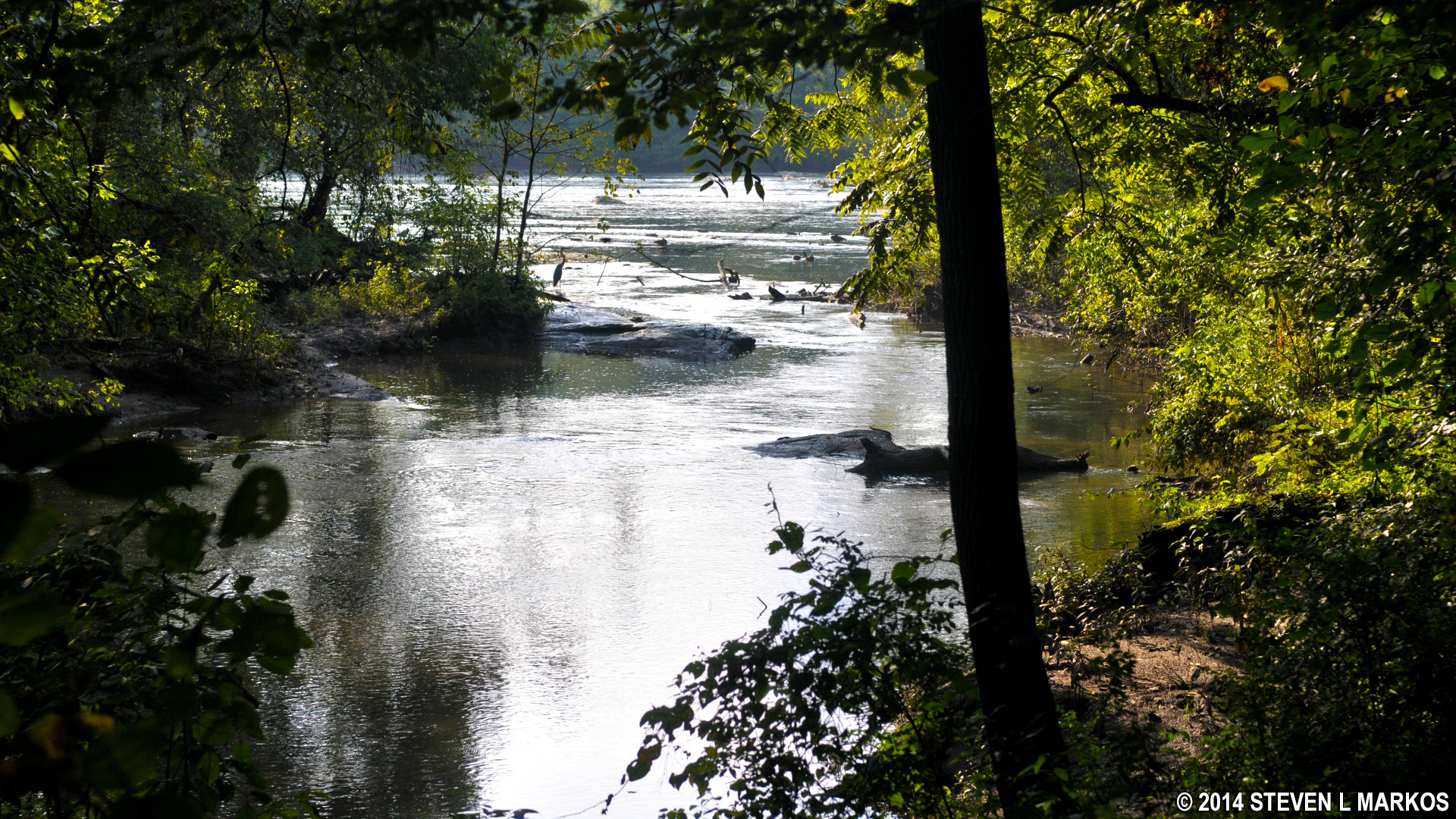
Waterway at the northern tip of Powers Island connects to the main channel of the Chattahoochee River
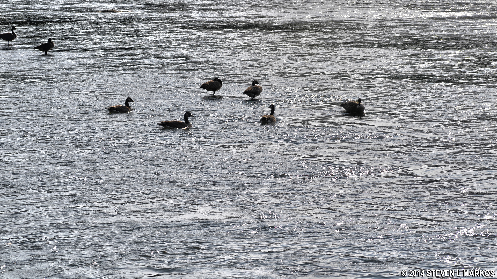
Waterfowl on the Chattahoochee River near Powers Island in Atlanta
And last, but not least, there is a man-made retaining wall. In most cases, such a wall was built to support a pathway to and from something of importance. At the Sope Creek section of Chattahoochee River National Recreation Area is such a wall supporting a path that leads to the ruins of the Marietta Paper Company mill. At first glance, the purpose of this wall at Powers Island appears lost to history, but if you look up the hill, further into the woods, you can barely make out a larger stone wall. This may be the ruins of an old mill or other factory, but I can find no mention of such a place in any park literature. Unfortunately, the land between it and the trail is filled with thick brush and possibly poison ivy, making it impossible to reach the larger wall without a lot of effort. If it were wintertime and the brush had died off, I’d try to get to the wall and see what it is. For now, it remains a mystery.
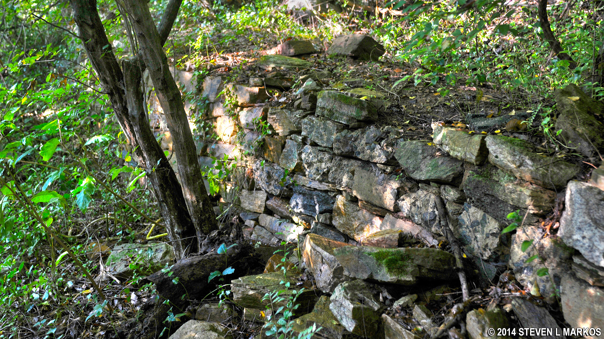
Man-made retaining wall between intersections PI 8 and PI 9 on the trails in the Powers Island section of Chattahoochee River National Recreation Area
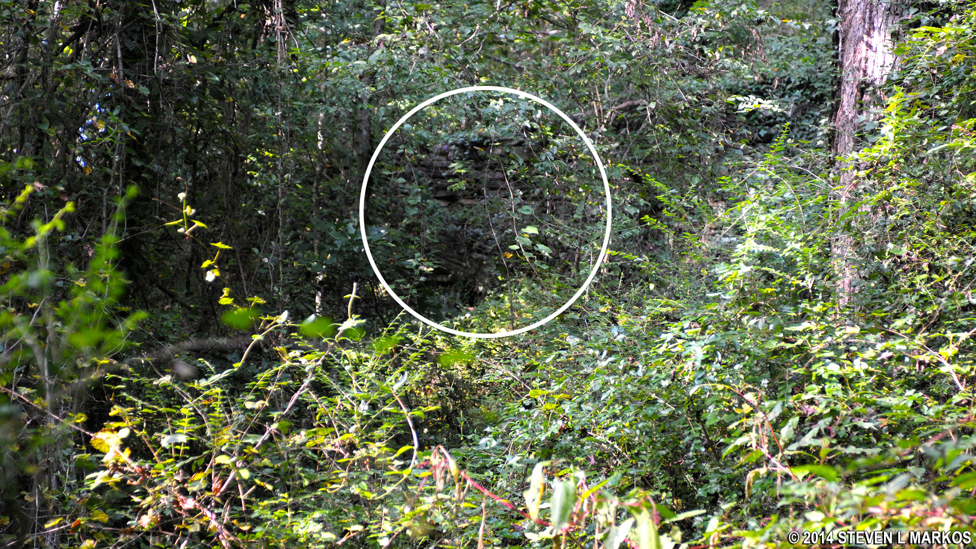
Possible ruin of an old building between intersections PI 8 and PI 9 on the trails in the Powers Island section of Chattahoochee River National Recreation Area
The trail ends at the northern park boundary, which is clearly marked with a sign. While the trail continues past this point, it is overgrown and on private land.
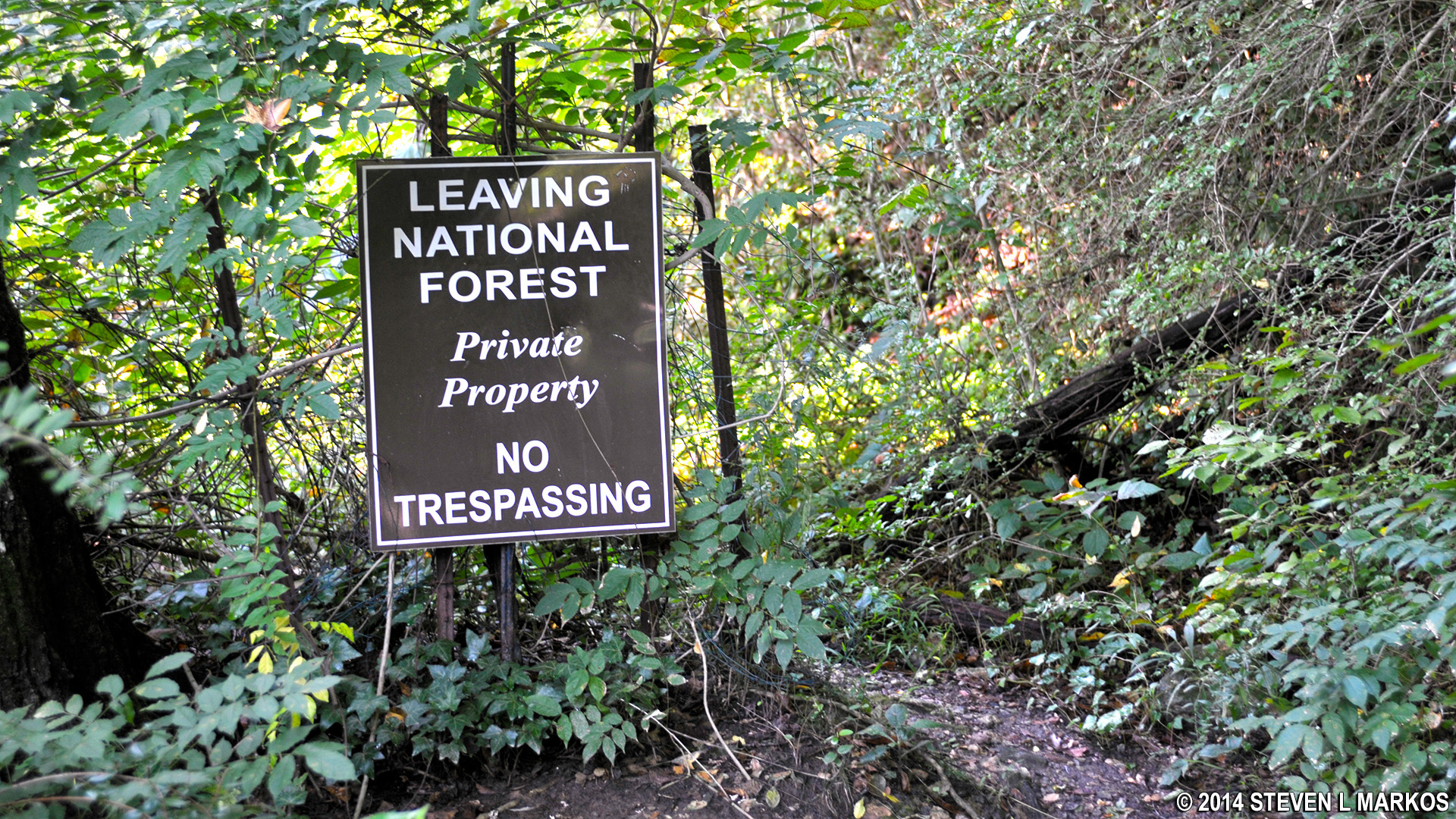
End of the trail at intersection PI 9 in the Powers Island section of Chattahoochee River National Recreation Area
Turn around and head back, this time walking along the river the entire way (take a right at the fork when you arrive back at intersection PI 8). Like the inland loop trail, the path is narrow but maintained. You will pass over a number of foot bridges and in roughly twenty minutes from the park boundary you will be back at the parking lot, this time exiting from the woods at the left corner of the lot. The entire hike shouldn’t take much longer than an hour.
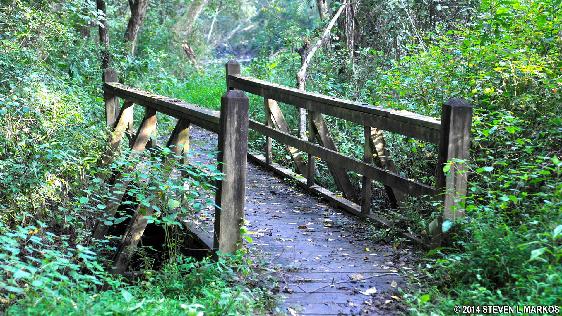
One of many footbridges on the Powers Island trail between intersections PI 8 and PI 4, Chattahoochee River National Recreation Area
With a few exceptions, use of any photograph on the National Park Planner website requires a paid Royalty Free Editorial Use License or Commercial Use License. See the Photo Usage page for details.
Last updated on May 21, 2024


