

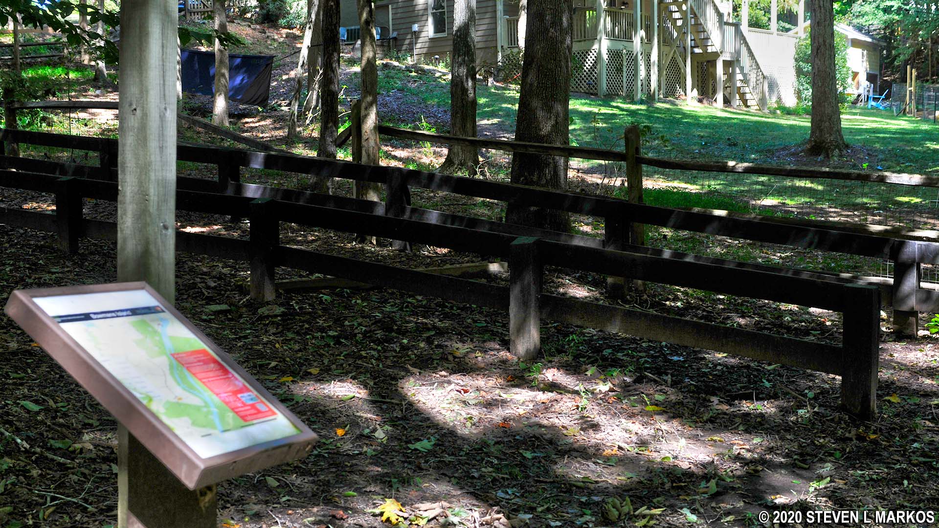
Bowmans Island West Side Loop Hike map (click to enlarge)
West Side Loop Hike
Distance: 4.5-mile loop
Time: 3 hours
Difficulty: Easy to moderate with hilly terrain
Download the Bowmans Island Trail Map (PDF)
The West Side Loop Hike at the Bowmans Island Unit of Chattahoochee River National Recreation Area begins at Lower Pool West Park. The road and the parking lot are owned by the U. S. Army Corps of Engineers, but annual National Park and Chattahoochee River National Recreation Area passes are valid for entry. If you don’t have a pass, you must pay the standard entrance fee, which is currently $5. There is a credit card machine at the entrance, but your best bet is to purchase a pass (day or annual) in advance online at Recreation.gov. The credit card machines are often out of order, and cash payments are no longer accepted at the individual park units.
Once past the pay station at the entrance, be on the lookout for a parking area off to the right. If you get to the picnic area and boat ramp at the end of the road, you have gone too far. Once at the proper parking lot, you will see the trailhead that leads into the Bowmans Island unit.

Start of the trails at the north end of the Bowmans Island Unit of Chattahoochee River National Recreation Area at Lower Pool West Park
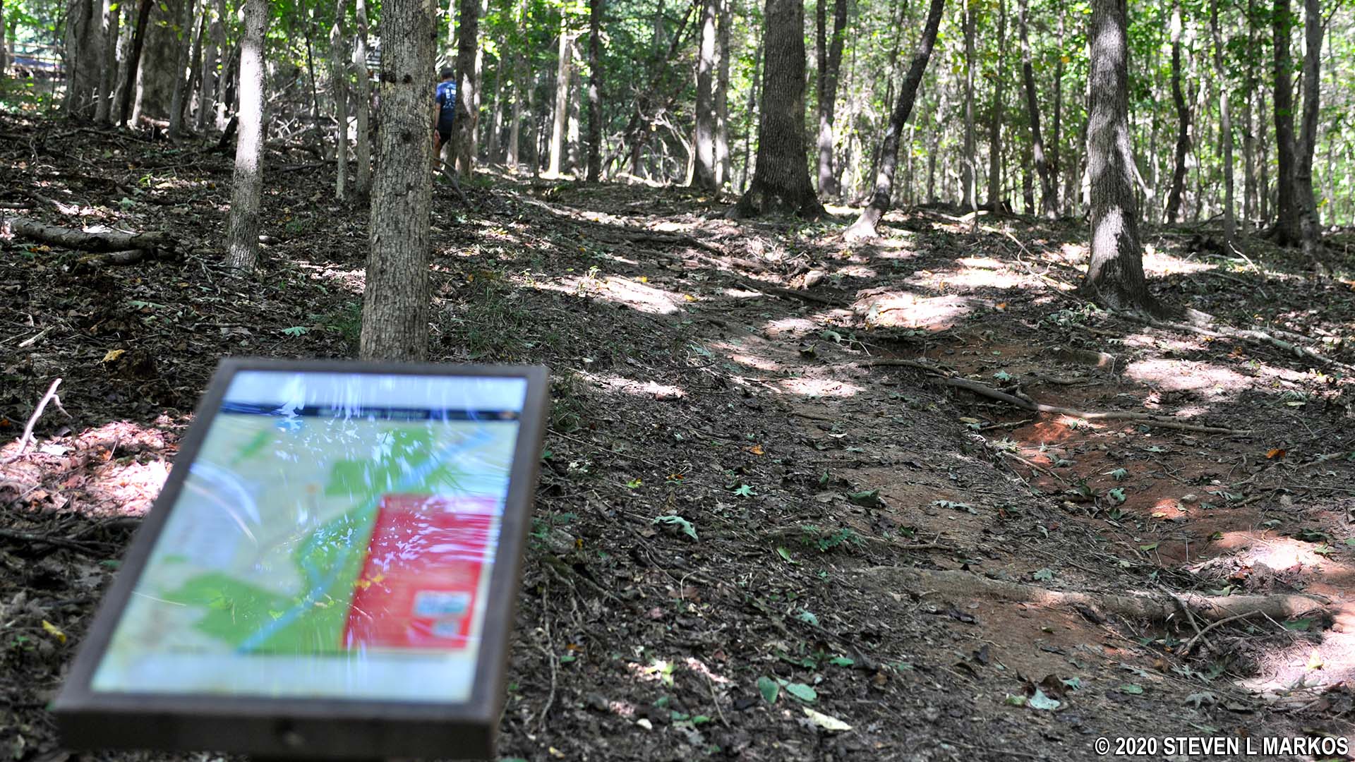
Cross the bridge and start hiking along a well-worn path until you arrive at the trail map stand at BI 1 (intersections are identified on the map with numbers). This is not an intersection, just the first place where you will find a trail map. If you did not bring a copy of the map with you, do not worry because trail map stands are at all intersections.

Start of the Bowman Island Unit loop hike in Chattahoochee River National Recreation Area
On your way to BI 2, there are a number of trails that branch off the main trail to the right and lead to the Chattahoochee River. However, this area is now closed, and all the trails are blocked with fallen tree branches.

Side trails at the northern end of the Bowmans Island Unit of Chattahoochee River National Recreation Area that lead to the Chattahoochee River are now closed
Stay straight at BI 2 to continue towards BI 3. When at BI 3, about .3 mile into the hike, take the fork to the left to head south along the Chattahoochee River towards intersection BI 20. The distance between the two intersections is about a mile. The trail crosses a couple of picturesque brooks along the way. Some are crossed by stepping stones, others by foot bridges. I don’t recall there being any side trails, but if you do come to anything unmarked, just stick to the trail that follows the river.

Small creek running along side of the trail near Intersection BI 3 in the Bowmans Island Unit of Chattahoochee River National Recreation Area
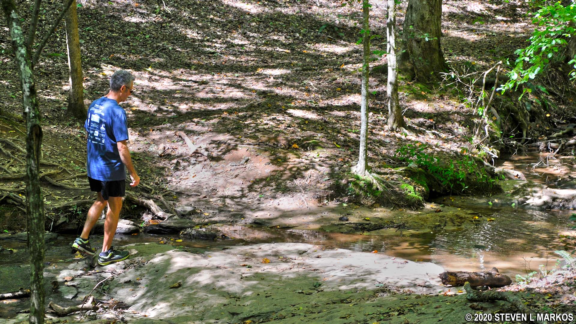
Crossing a small creek via stepping stones between intersections BI 3 and BI 20 in the Bowmans Island Unit of Chattahoochee River National Recreation Area
About a mile into the hike, the trail begins to follow closely along the Chattahoochee River. There are quite a few side trails, but the main trail is obvious, so keep following it. Unfortunately, while you can see the river through the leaves of the trees, there are not many clear views of the water. Even at the few overlooks along the way, the view is still not completely clear.
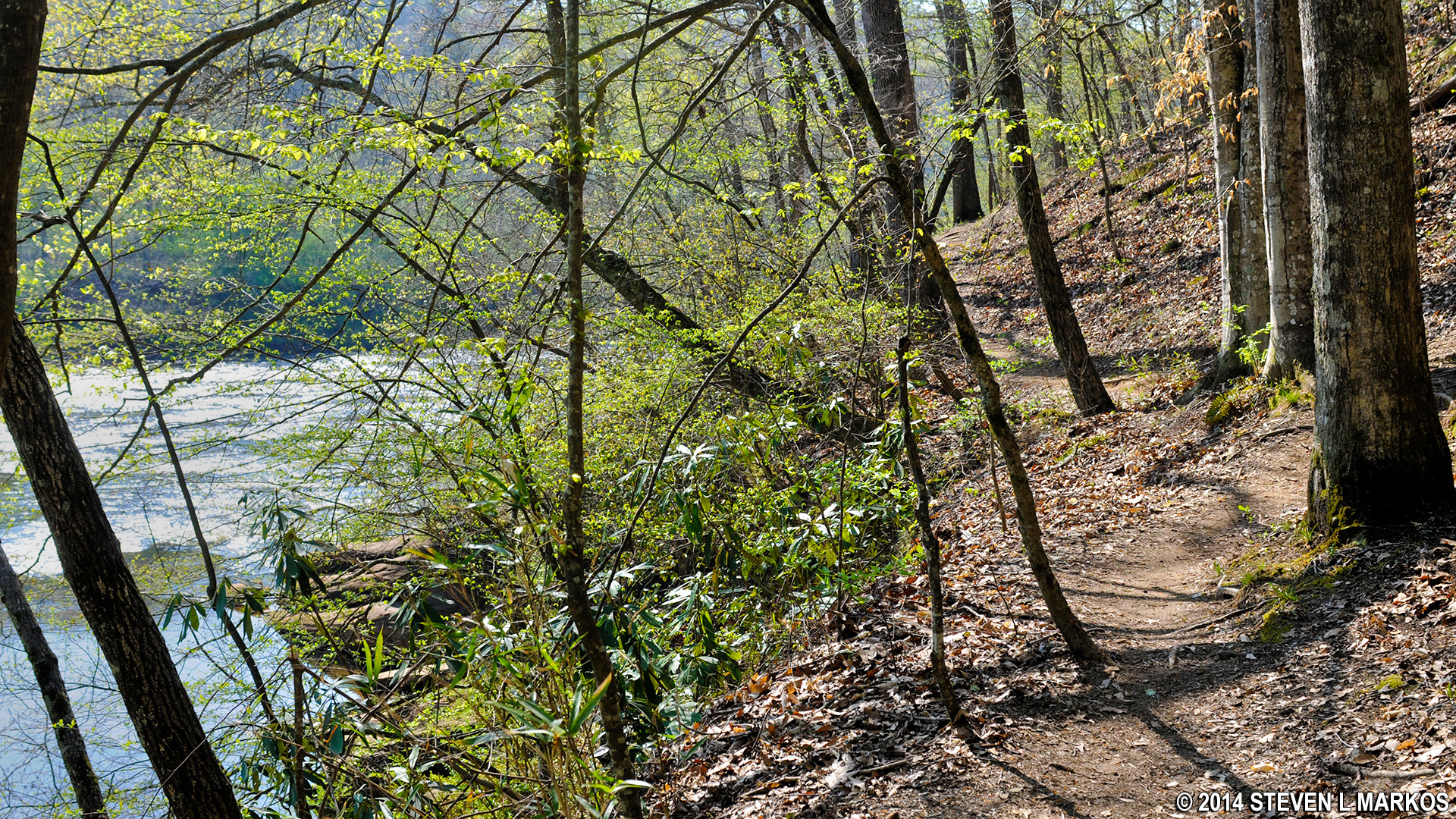
Trail in the Bowmans Island Unit of Chattahoochee River National Recreation Area near Intersection BI 20 runs right along the Chattahoochee River
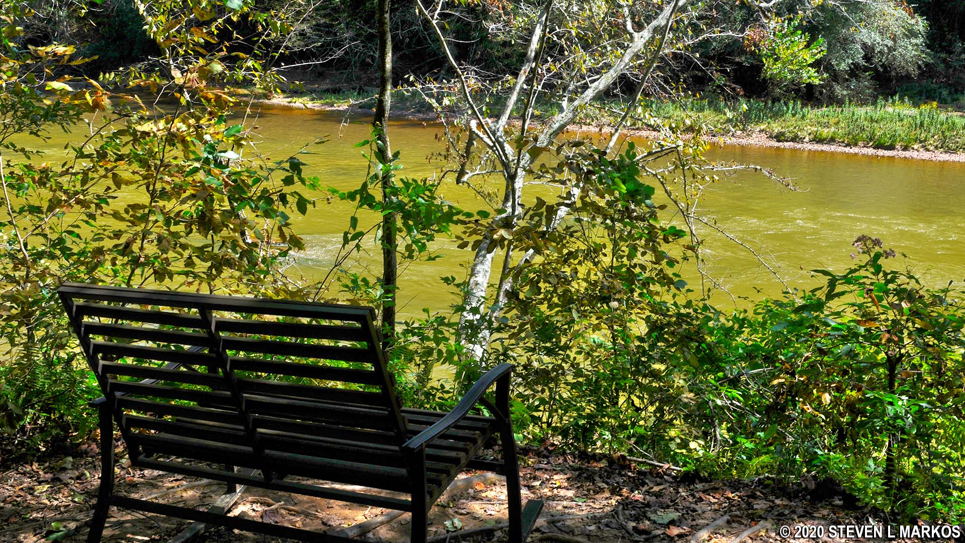
Bench at an overlook on the Chattahoochee River near trail intersection BI 20 in the Bowmans Island Unit of Chattahoochee River National Recreation Area
Just before BI 20 is a brick structure the size of a small shed that houses some sort of electrical equipment. At this point the trail becomes a gravel road. At the BI 20 intersection, I stayed to the right and headed towards BI 21, though there’s nothing wrong with going left towards BI 22. Either way, you’ll end up at the same place and can continue towards BI 23.

Bowmans Island trail becomes a gravel road near intersection BI 20, Chattahoochee River National Recreation Area
Keep straight at BI 22 and continue to BI 23. At this intersection, if you keep straight on the gravel road instead of turning right and hiking uphill towards BI 24, you will come to the backside of the Buford Trout Hatchery. There is no public access at this point. If you want a visit the hatchery, you must enter from the main entrance, which is accessed from Trout Place Road at BI 24.
At BI 23, take the trail up a fairly steep hill to BI 24. If you want to visit the trout hatchery, go straight / left at BI 24 to exit the Bowmans Island Unit and get to Trout Place Road. The hatchery is a short walk down the street. Visitors are welcome to walk around the hatchery on their own, and staff is available to answer any questions. The hatchery is open from 8 AM at 4:30 PM during the week and from 10 AM to 3 PM on weekends.

BI 23 trail intersection looking towards BI 24 in the Bowmans Island Unit of Chattahoochee River National Recreation Area

Buford Trout Hatchery in Cumming, Georgia
To continue the hike, turn right at BI 24. In ten minutes you will come to intersection BI 25. To make a loop and avoid hiking back the same way you just came, take a left and hike to the cul-de-sac on East Timberline Trail, a street within the Chattahoochee River Club subdivision. The trail is bounded by a wooden fence and runs parallel to a private residence. By doing this you are leaving National Park property and will be hiking for about .75 mile along the neighborhood streets.
Trail at BI 25 in the Bowmans Island Unit of Chattahoochee River National Recreation Area that leads to the neighborhood streets
Believe it or not, the trail actually runs through the front of peoples’ yards, just like a sidewalk, except instead of cement it’s a wood chip trail. Once at the cul-de-sac take a right and head towards the main road, Little Falls Drive.
Connector trail between the northern and southern sections of the Bowmans Island Unit of Chattahoochee River National Recreation Area runs along East Timberline Trail
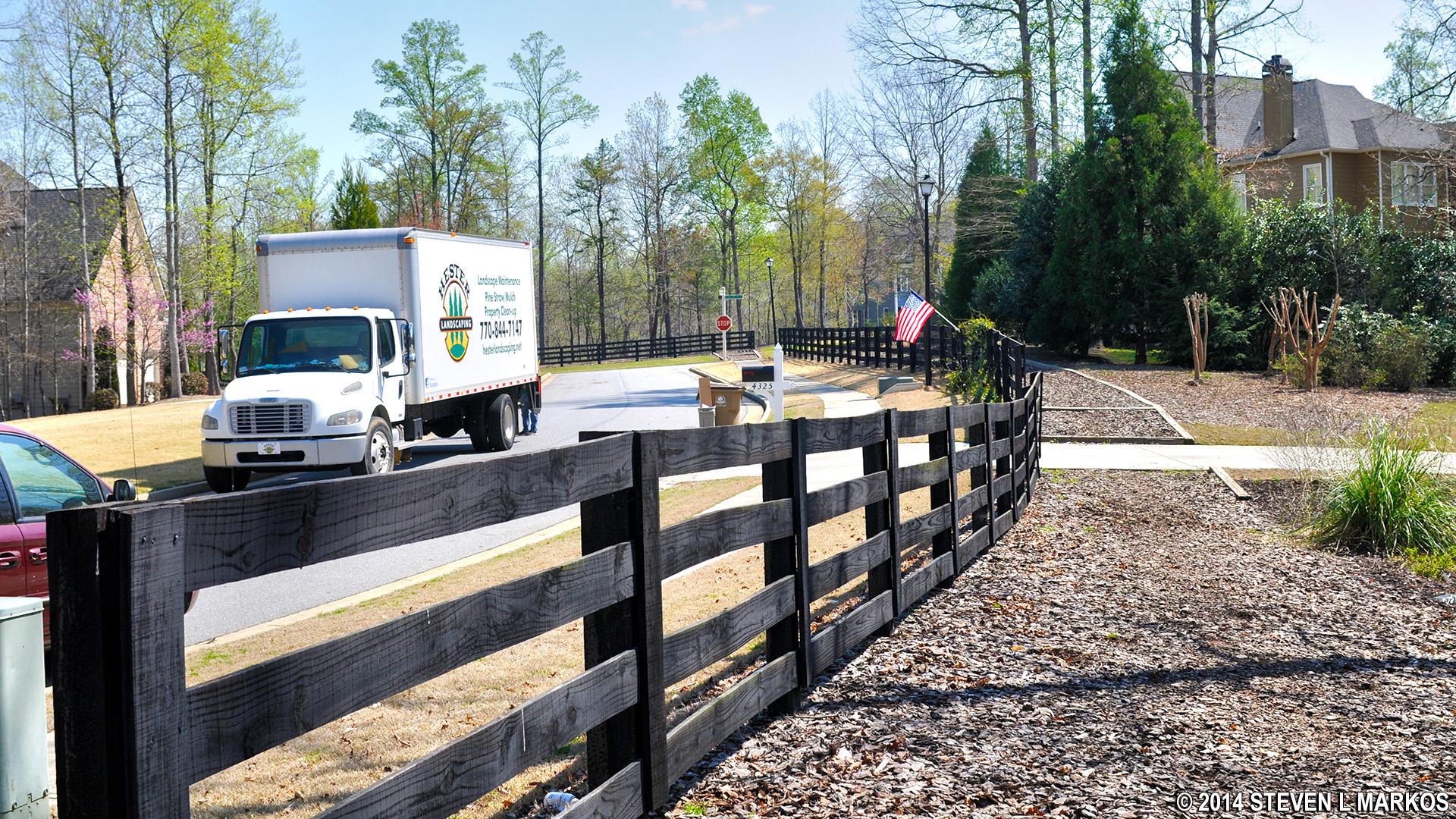
At Little Falls Drive, take a left. You can walk on the street or the actual sidewalk if you don’t want to walk on the wood chip trail. In fact, the wood chip trail disappears from time to time. However, once you reach the intersection with River Run Court, be sure to get on the wood chip trail because it soon turns to the right (BI 15) and heads back into Chattahoochee River National Recreation Area. If you are on the street, you’ll have to climb the wood rail fence to get back on the trail. That’s not a big problem if you are young, but it’s no fun if you are old like me. As with the trail that led out of the park at BI 25, the trail back into the park is bounded by a wood fence and runs next to a private residence.
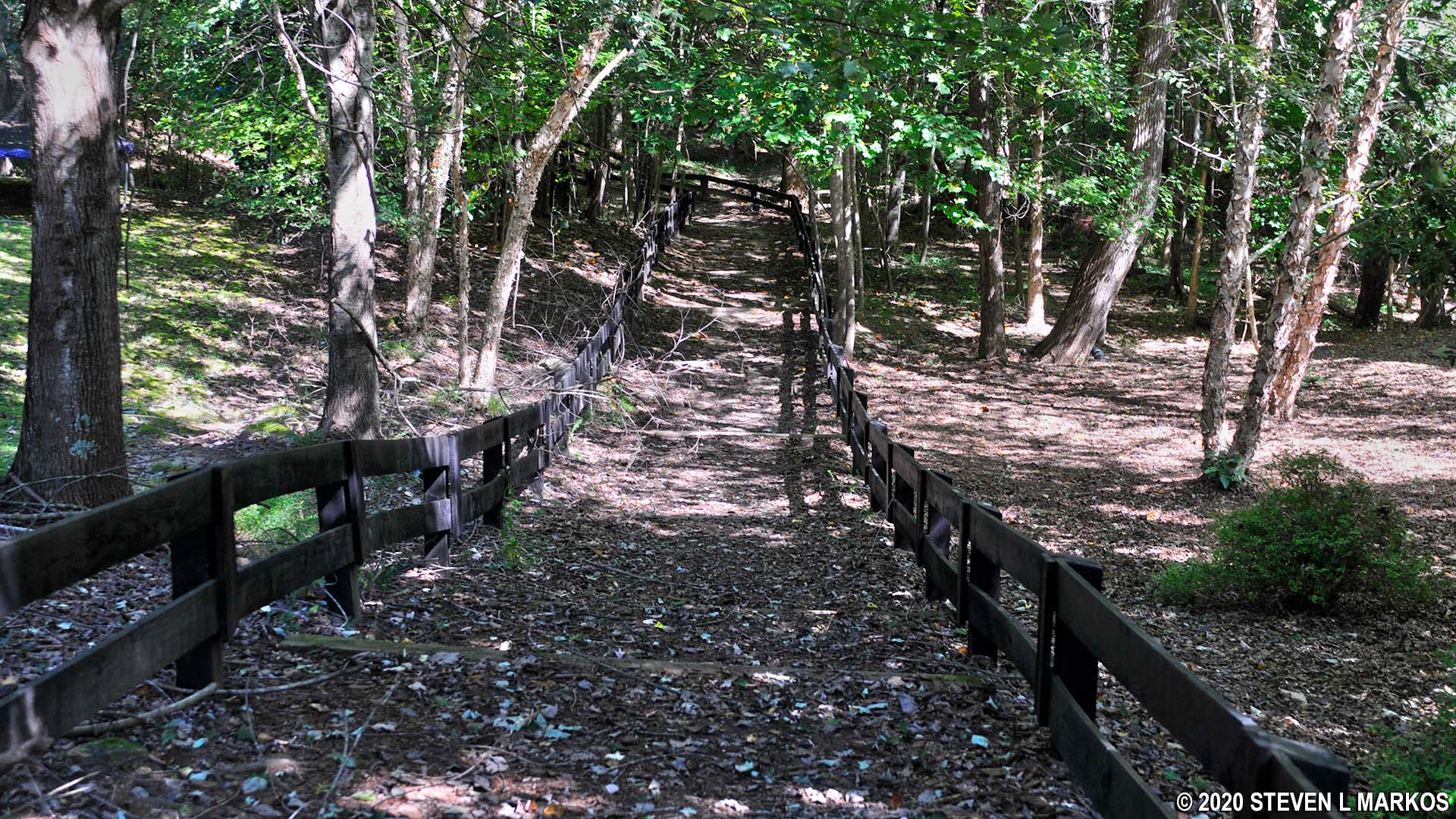
Trail leading back into the Bowmans Island Unit of Chattahoochee River National Recreation Area near BI 15
The first intersection that you come to when reentering the park is BI 15. Continue on to the BI 14 intersection, take a left and hike to BI 12, then a right towards BI 11. The terrain is hilly for much of the way, but no more than moderate in difficulty.
Intersection B15 on the Bowmans Island Unit loop hike, Chattahoochee River National Recreation Area
At BI 11, head to the left and pass over a footbridge to begin the trek to BI 5 where a loop around the northern end of the park begins. However, on this hike you’ll only hike about halfway around the loop, starting by taking a left at BI 5 and heading towards BI 6.
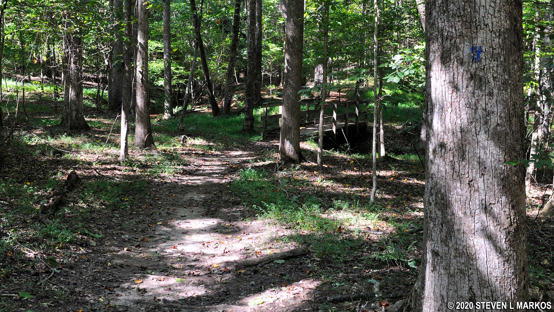
Footbridge just past intersection BI 11 in the Bowmans Island Unit of Chattahoochee River National Recreation Area
The next intersection, BI 6, is a short distance ahead, and the hike is along level terrain. At the intersection the trail forks left and right. A right takes you to BI 3, but going that way means you must hike back to the parking lot the same way you came in—who wants to see the same thing twice?—so take a left and hike only a minute farther down the trail to BI 7.
At BI 7 is a trail that leads out of the park to Old Trail Court (BI 8). This is an entrance trail into Bowmans Island for the people living in the nearby neighborhood. Skip past this and continue around towards BI 9. Part of the trail takes you to within fifty feet of some nice houses; it must be strange to live there and see people hiking through your backyard!
There is another trail that forks to the left and leads to a neighborhood at BI 9, but you’ll want to stay straight / right to begin a hike along a section of trail that runs all the way back to BI 2. You’ll be starting out near the peak of a moderate hill, so from the intersection you’ll be heading downhill. After a quarter mile you come to one last hill before reaching BI 2. Based on the numerous narrow and overgrown sections, I suspect that not many people come this way. To make matters worse, just before reaching BI 2, the trail becomes very narrow and is full of loose rocks. Once at BI 2, take a hard left to hike back to the parking lot.

Narrow section of the Upper Loop Trail at Bowmans Island right before the BI 2 intersection when coming from BI 9, Chattahoochee River National Recreation Area
You might be thinking that to avoid hiking all the way back to the Lower Pool West Park parking lot from the fish hatchery that it might make sense to hike with a partner and park a car at each end. However, this entails over an hour of driving. Though the Lower Pool parking lot is on the same side of the park as the fish hatchery (imagine the 11 o’clock and 8 o’clock positions on a clock), you must drive clockwise from the parking lot all the way around the Bowmans Island unit on Suwanee Dam Road in order to get to the fish hatchery. Once you drop off your car, you must return all the way back in a counterclockwise direction. That’s the shortest route. All told, you’ll spend as much time driving as you will hiking back.
With a few exceptions, use of any photograph on the National Park Planner website requires a paid Royalty Free Editorial Use License or Commercial Use License. See the Photo Usage page for details.
Last updated on May 6, 2024


