
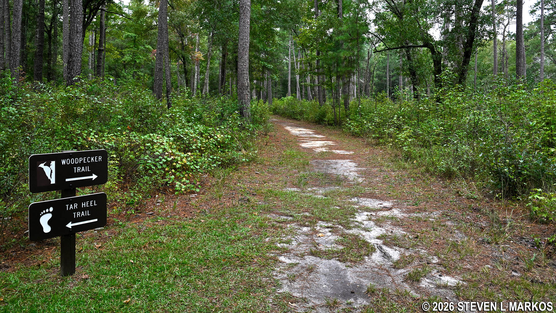
Woodpecker Trail at Moores Creek National Battlefield
Length: .5 miles
Time: 30 minutes
Difficulty: ★☆☆☆☆
The Woodpecker Trail at Moores Creek National Battlefield takes hikers through a pine forest that was once the home of a few families up until the 1970s. The entire trail is as flat as a pancake and easy to hike, but it is quite uneventful and not really worth your time unless you just want some exercise. Access is either from a wide, gravel path at the entrance to the Visitor Center parking lot (actually a segment of the historic Black River Road) or from a split with the Tarheel Trail. This is where I began the hike, and this report is written from that perspective.
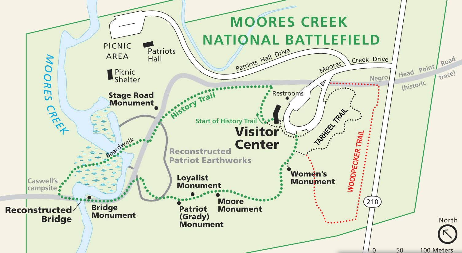
Trail map for Moores Creek National Battlefield
The land traversed by the Woodpecker Trail was home to roughly 20 families up until the 1970s when Highway 210 was re-routed due to constant flooding. The government purchased 20 acres of land at a price high enough for the families to purchase 100 acres near Currie. Along the trail is an audio kiosk with narrations by a couple of former residents who reminisce about their times on the land that is now part of Moores Creek National Battlefield. While the stories are interesting to a point, the main storyteller is an ol’ timer who speaks so slowly that it’s hard not to lose patience. What he conveys in five minutes could be told in two.
As mentioned, I started the hike where the Woodpecker Trail splits from the Tarheel Trail. This split is about 75 yards from where the Tarheel and History trails intersect. The Woodpecker Trail forks to the right while the Tarheel Trail turns to the left. Signs clearly mark the intersection.
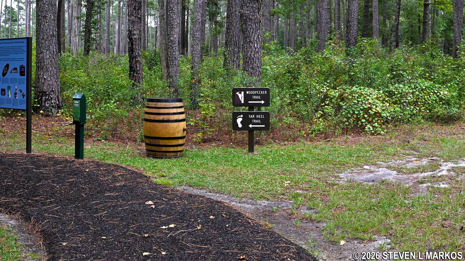
Intersection of the Woodpecker and Tarheel trails at Moores Creek National Battlefield
The aforementioned audio kiosk is 100 yards from the split. A bench is next to the kiosk for those who want to sit down while listening to the stories. There are four narrations, and they last anywhere from two to four minutes each. It takes roughly 13 minutes to listen to all the stories.
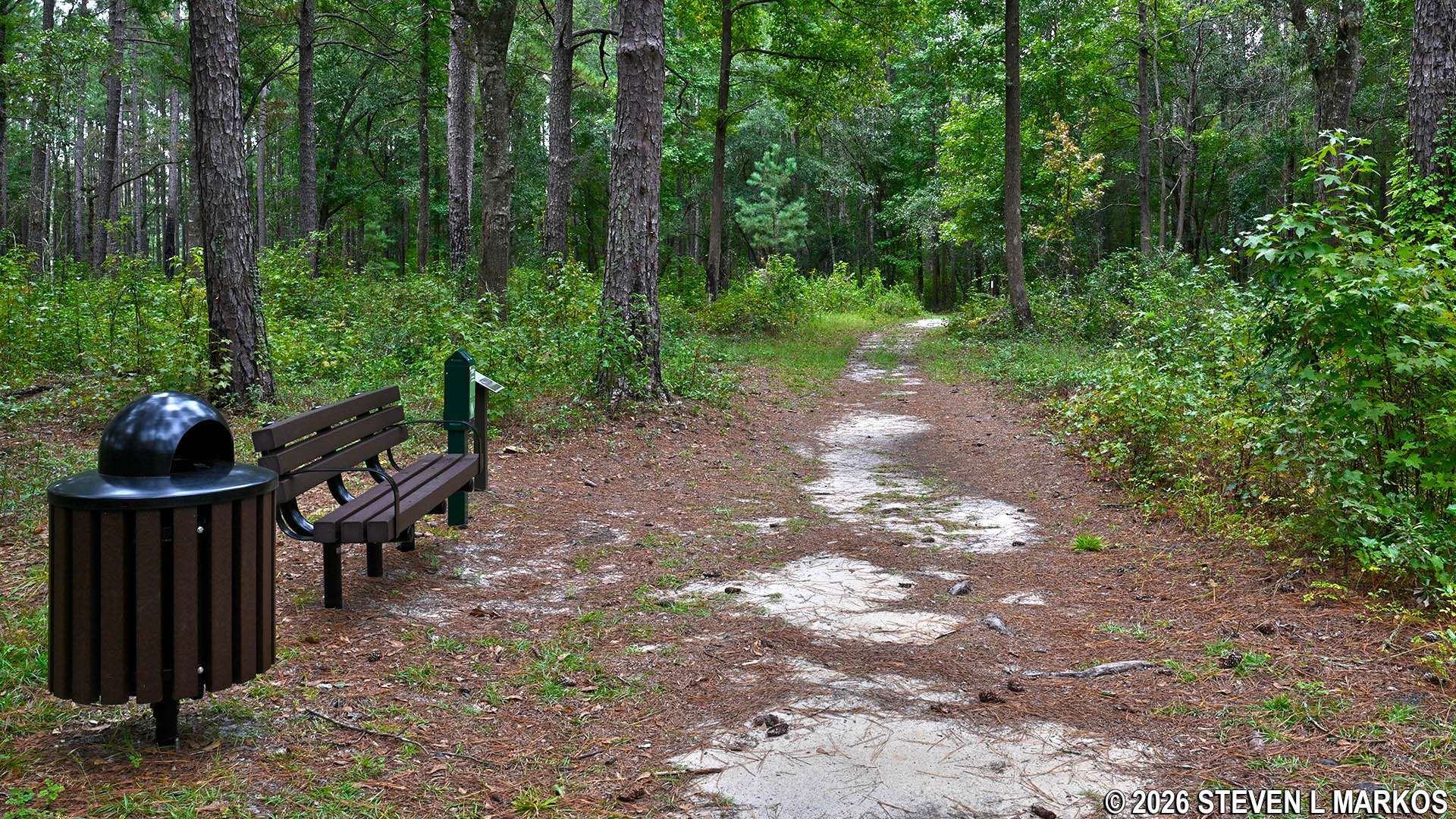
Bench near the audio kiosk on the Woodpecker Trail, Moores Creek National Battlefield
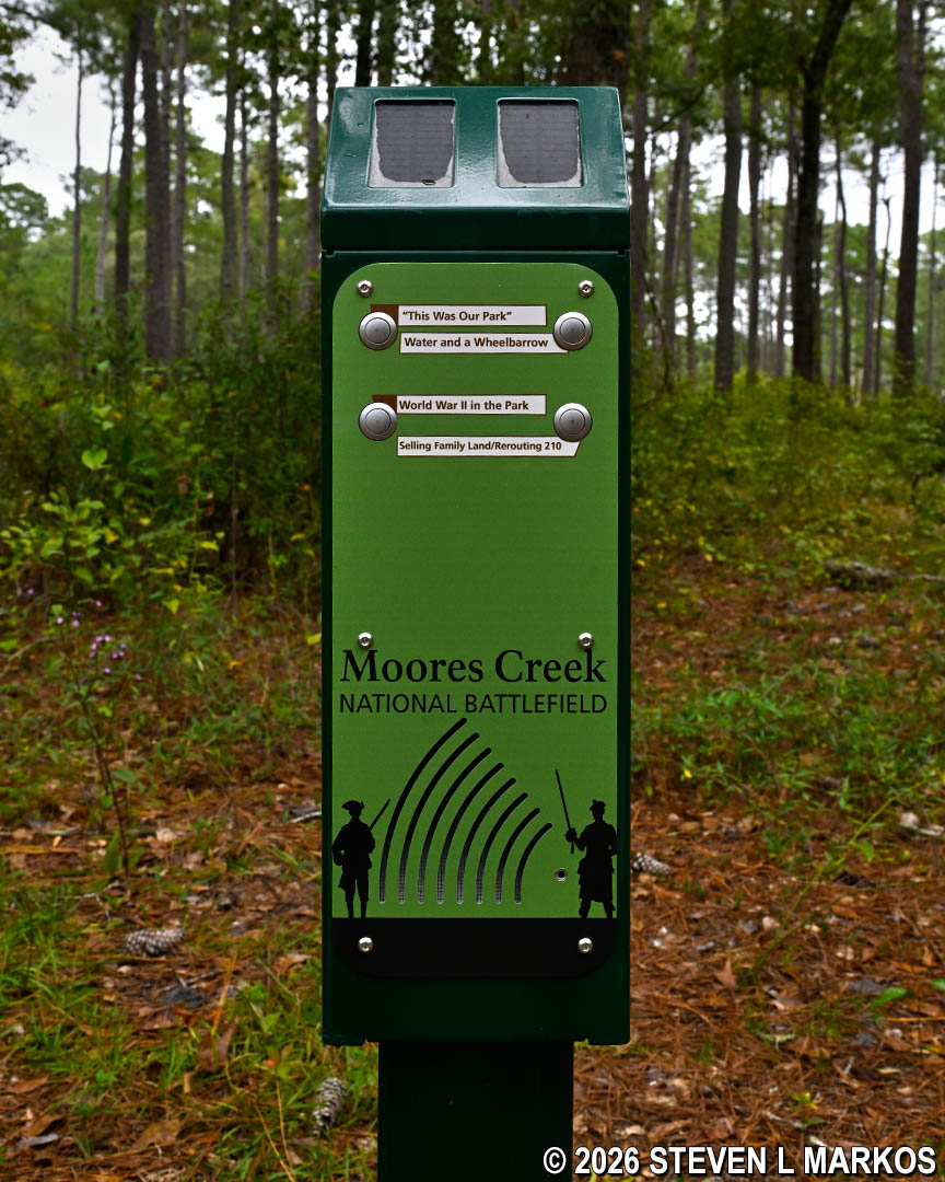
Oral history audio kiosk along the Woodpecker Trail at Moores Creek National Battlefield
Not far from the kiosk, the Woodpecker Trail dead ends into a dirt road. Take a left to continue. There are a couple more turns onto other dirt roads after this, and all are well marked with signage.
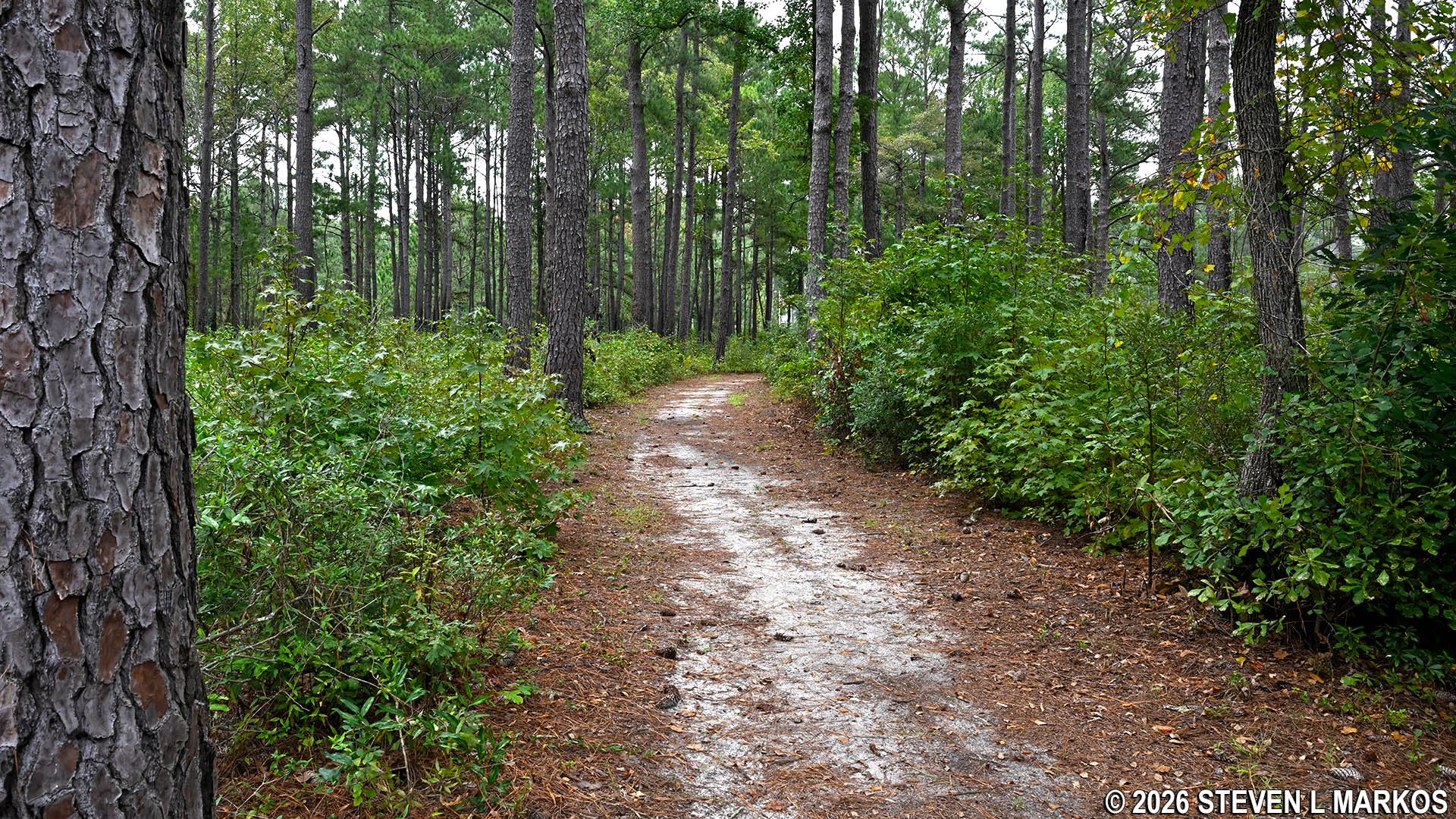
Typical terrain on the Woodpecker Trail at Moores Creek National Battlefield
At the halfway point is another audio kiosk, this one playing different woodpecker sounds. There are four different woodpeckers on the audio, and listening to all of them takes about one minute. Why woodpeckers, I don’t know, for I certainly didn’t see any on the hike.
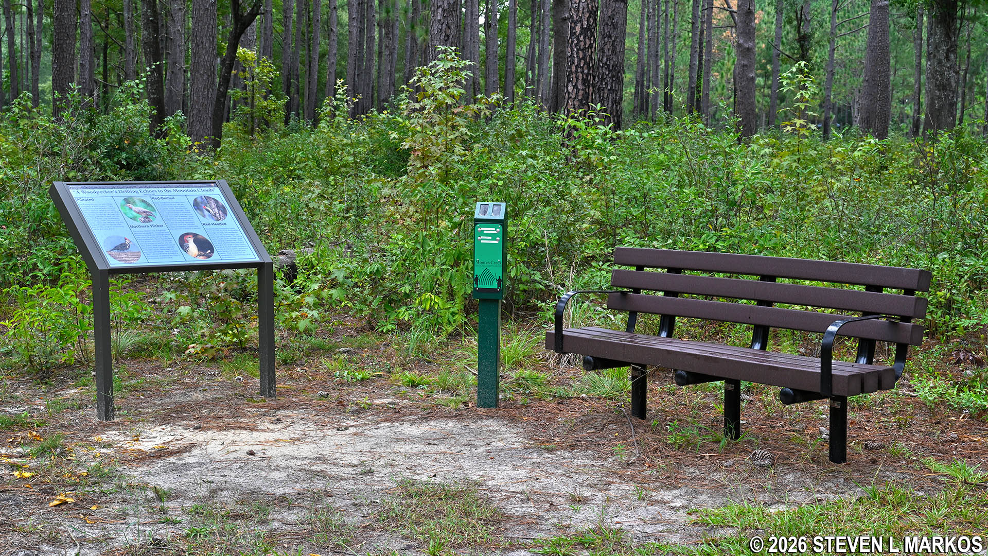
Woodpecker sounds audio kiosk along the Woodpecker Trail at Moores Creek National Battlefield
The last turn of the Woodpecker Trail is onto the historic Black River Road, a road that once connected Wilmington and Fayetteville, North Carolina. It was on this road that both the Patriot and Loyalist soldiers arrived to the area, setting up the Battle of Moores Creek Bridge on February 27, 1776. The Black River Road leads back to the Visitor Center parking lot where the hike ends.
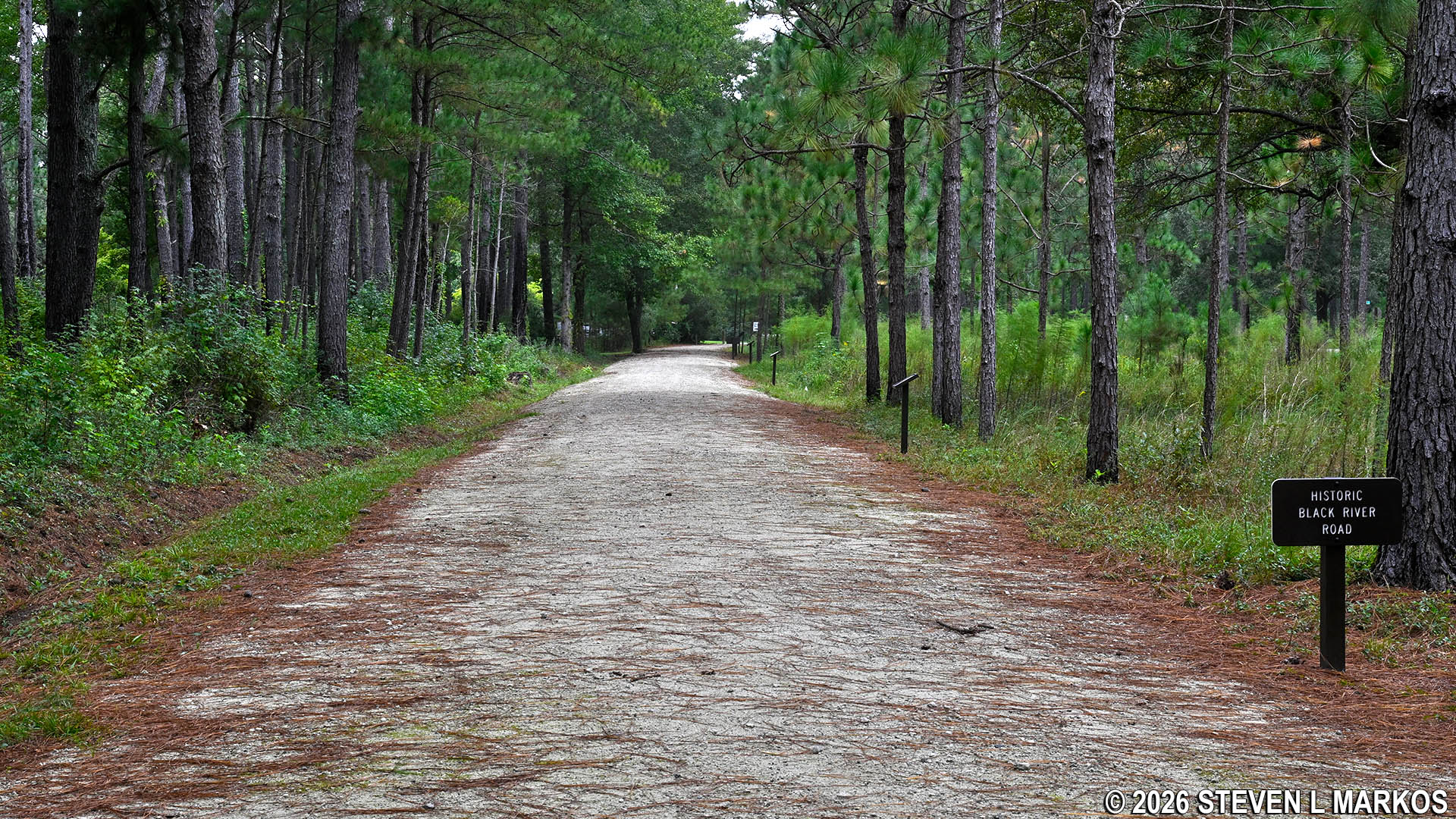
Final leg of the Woodpecker Trail at Moores Creek National Battlefield is on the historic Black River Road
With a few exceptions, use of any photograph on the National Park Planner website requires a paid Royalty Free Editorial Use License or Commercial Use License. See the Photo Usage page for details.
Last updated on November 8, 2026


