
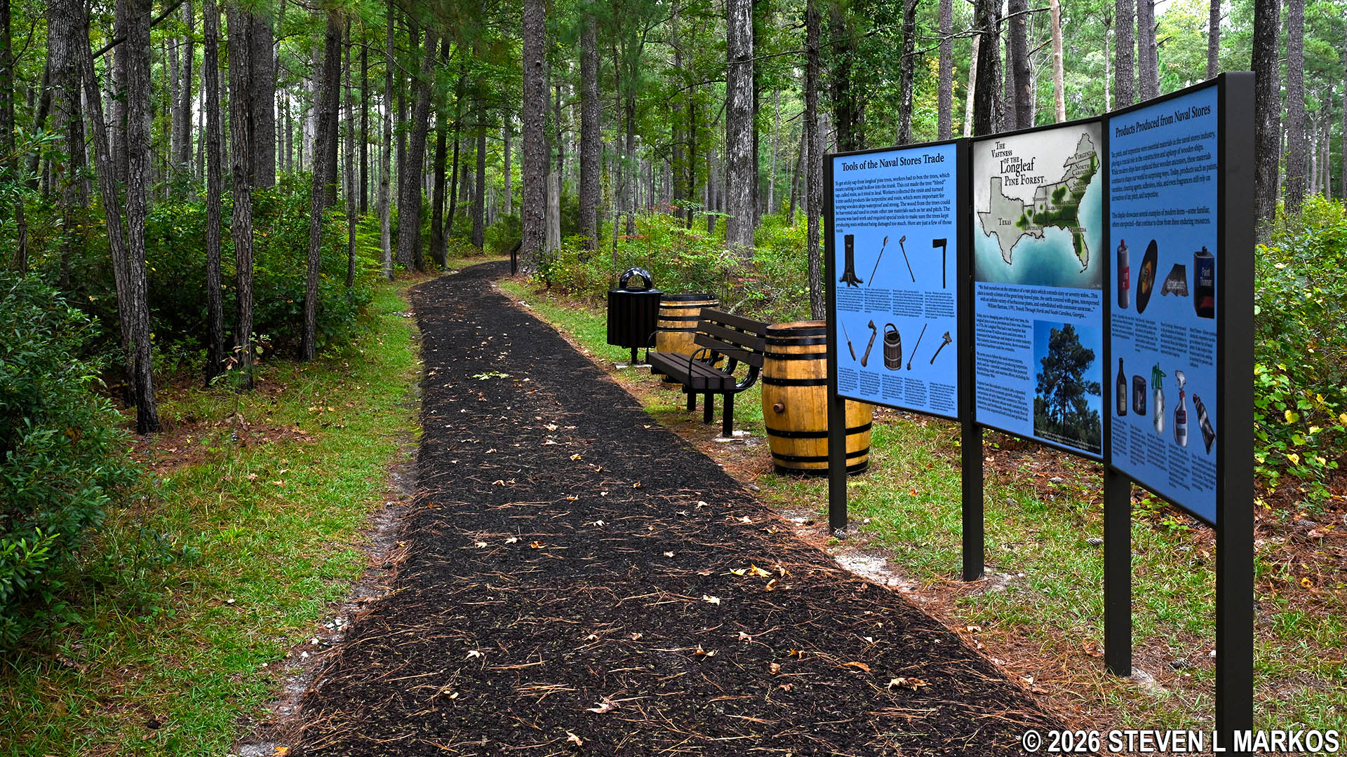
Tarheel Trail at Moores Creek National Battlefield
Length: .2 miles
Time: 15 minutes
Difficulty: ★☆☆☆☆
The Tarheel Trail is a short trail with interesting exhibits about the North Carolina pine tar, pitch (similar to tar but thicker), and turpentine industry. The trail forms a horseshoe shape with one trailhead located at the parking lot for the Moores Creek National Battlefield Visitor Center. The second trailhead is on the History Trail just a stone’s throw from the parking lot. The Tarheel Trail can be hiked on its own or combined with the History Trail (which I recommend).
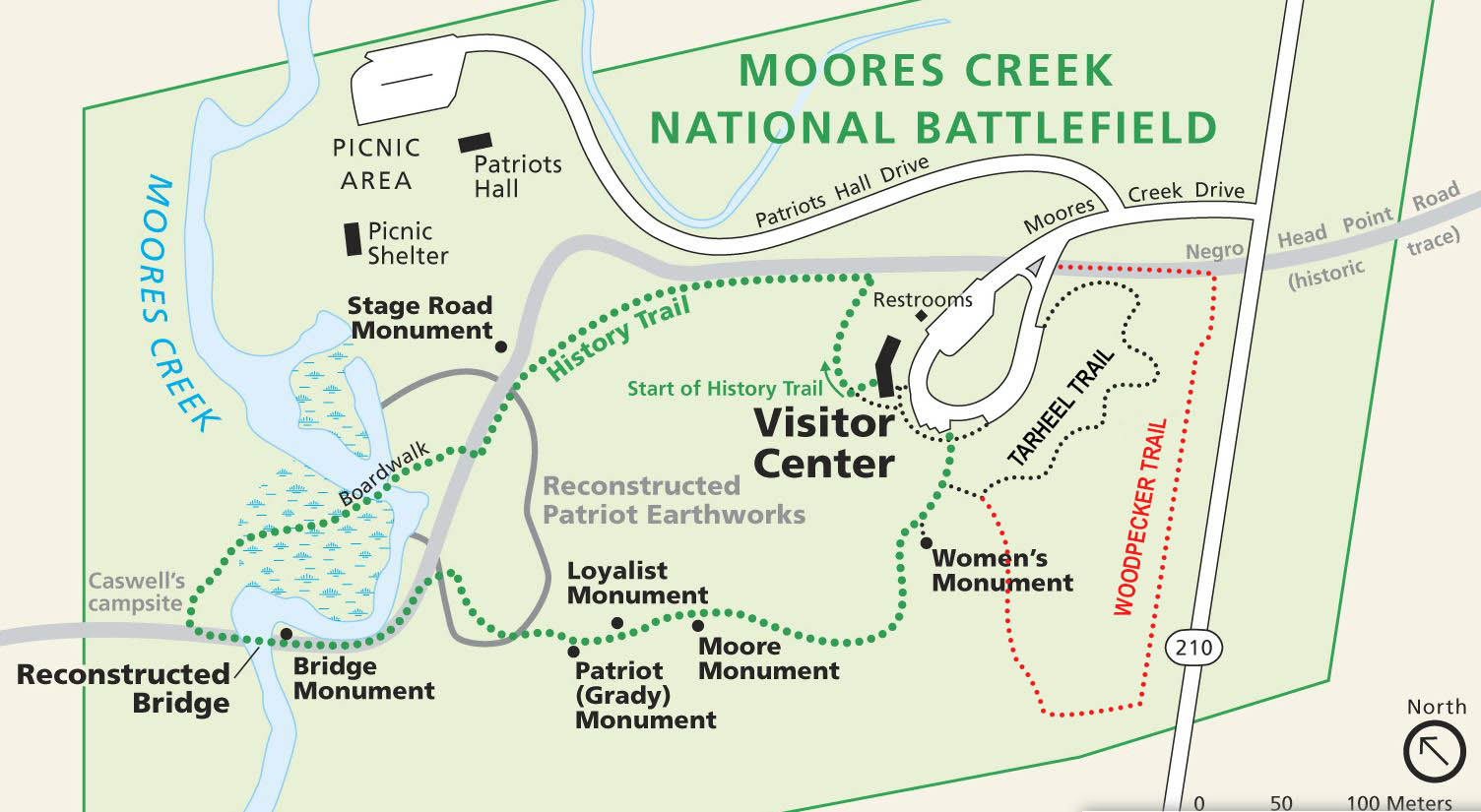
Trail map for Moores Creek National Battlefield
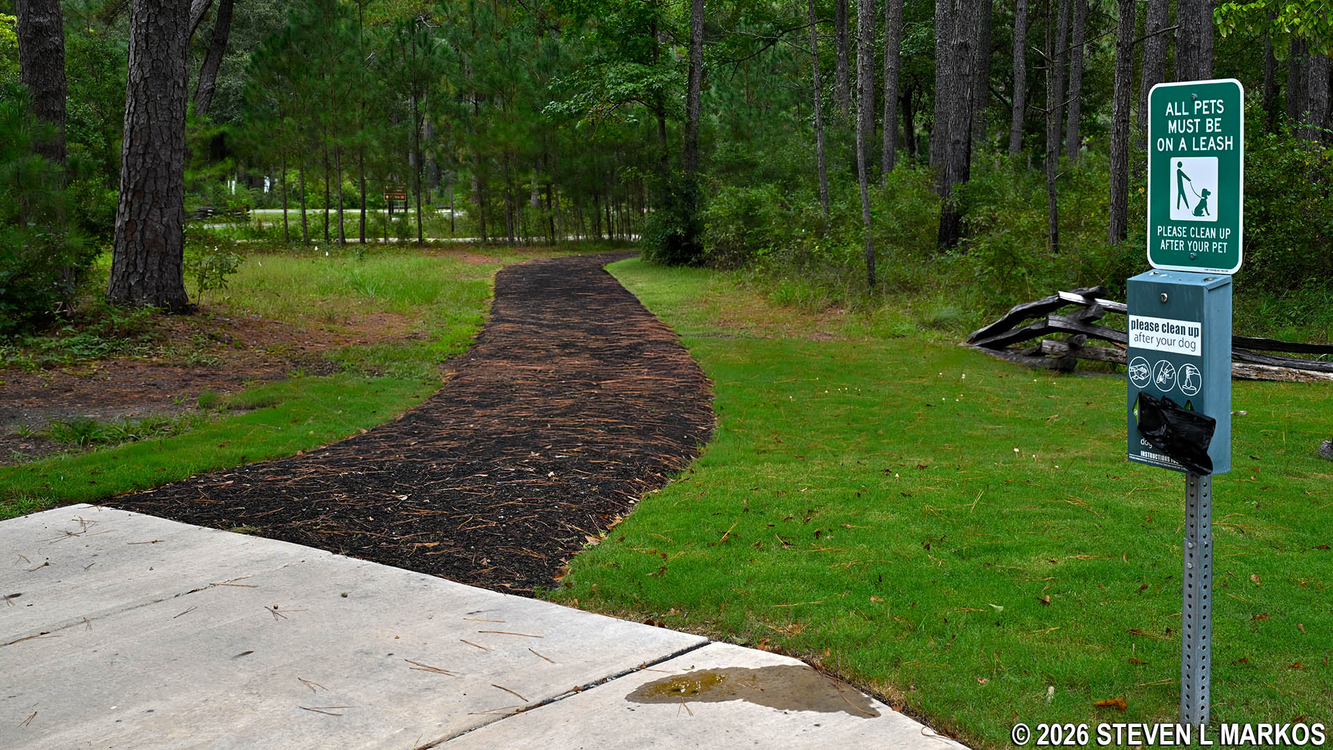
Parking lot trailhead for the Tarheel Trail at Moores Creek National Battlefield
If you hike the History Trail from the Visitor Center, which takes you around in the counterclockwise direction, you will come to the intersection with the Tarheel Trail just after passing the Women’s Monument. The History Trail ends 100 feet later, and there is nothing more to see, so you might as well take the short detour on the Tarheel Trail and learn something about the pine tar industry. This is what I did, and this report is written from that perspective.
Intersection of the History and Tarheel trails near the Visitor Center parking lot at Moores Creek National Battlefield
The forest that the trail passes through today consists mainly of loblolly pines, but back in the 1700s it was dominated by longleaf pines. Being pyrophytic—resistant to fire—longleafs thrived when wildfires burned the underbrush and other competition for resources. Unfortunately, as the area became more populated, people began suppressing wildfires, and as a result, longleafs died out and loblollies took over. The National Park Service has begun to plant longleafs in hope of one day restoring the area to what it looked like in the 18th Century.
As for the trail itself, it is flat and easy with no unmarked side trails or intersections to cause confusion. The surface is made of a rubbery material like that used for ground cover at children’s playgrounds, so walking on it is easy on the knees. The actual trail length is just .2 miles long, but there is some additional walking either back to the Visitor Center or to your car.
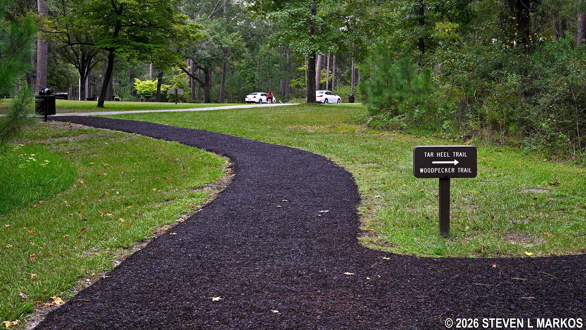
The Tarheel Trail intersects with one end of the Woodpecker Trail about 75 yards from the start. If you want a longer hike, you could take the Woodpecker Trail (half mile vs. two tenths), but in truth, it is not that interesting of a hike. The Tarheel Trail is much better, so my advice is to stick to it.
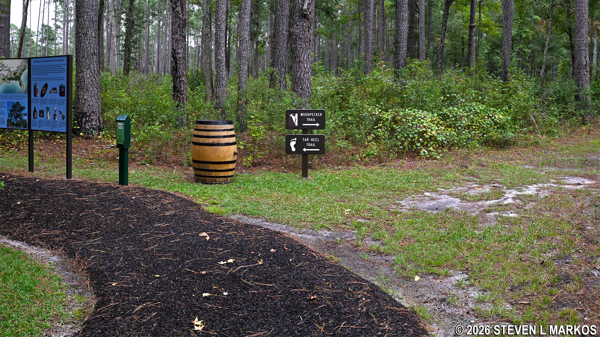
Split between the Tarheel and Woodpecker trails at Moores Creek National Battlefield
Along the path are two exhibits, one featuring silhouetted figures scraping the bark off the pine trees, the first step to what is known as boxing a pine. Stripping the bark gets the resin flowing, and the substance is then collected in a box that is emptied throughout the year, typically seven or eight times.
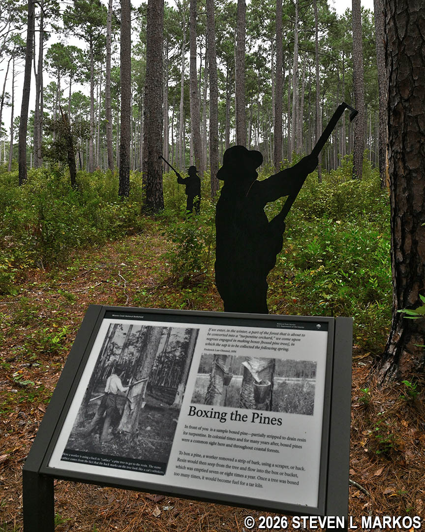
Tree boxing exhibit along the Tarheel Trail at Moores Creek National Battlefield
The second exhibit also shows silhouetted figures scrapping the tree bark, but this stop focuses on how the resin was used. A common product was tar, which at the time was very important in sealing cracks between the wooden planks of ships. There is also an audio kiosk with narrations about chipping, dipping, barreling, and distilling, all processes in producing tar, pitch, and turpentine. Each narration is a minute long and well worth listening to.
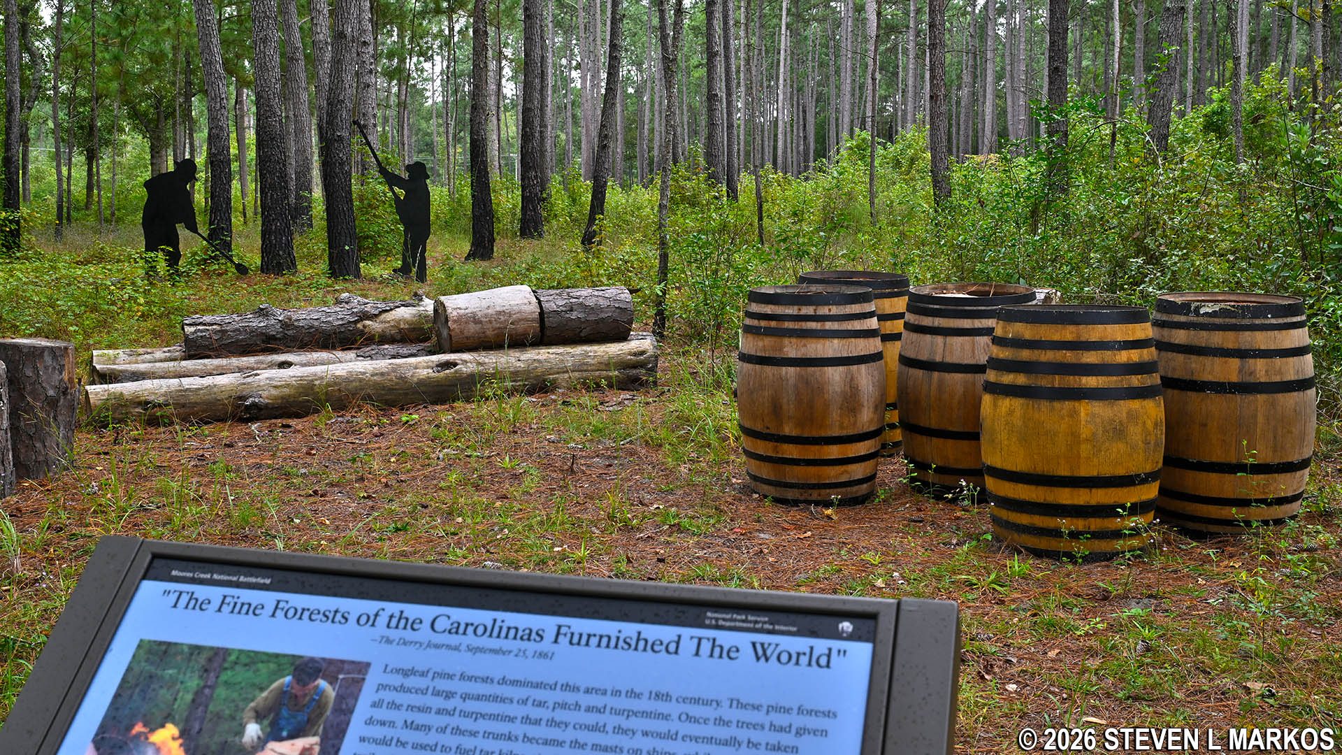
Exhibit along the Tarheel Trail about the harvesting of resin from longleaf pine trees, Moores Creek National Battlefield
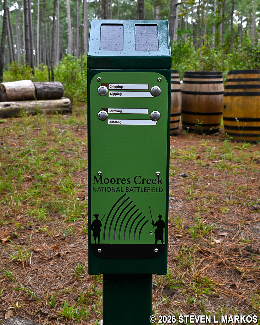
Audio kiosk along the Tarheel Trail at Moores Creek National Battlefield
Just before reaching the end of the Tarheel Trail at the parking lot is a footbridge over a ditch that leads to a wayside exhibit about tar kilns. The area fenced off in front of the exhibit was once the location of a kiln.
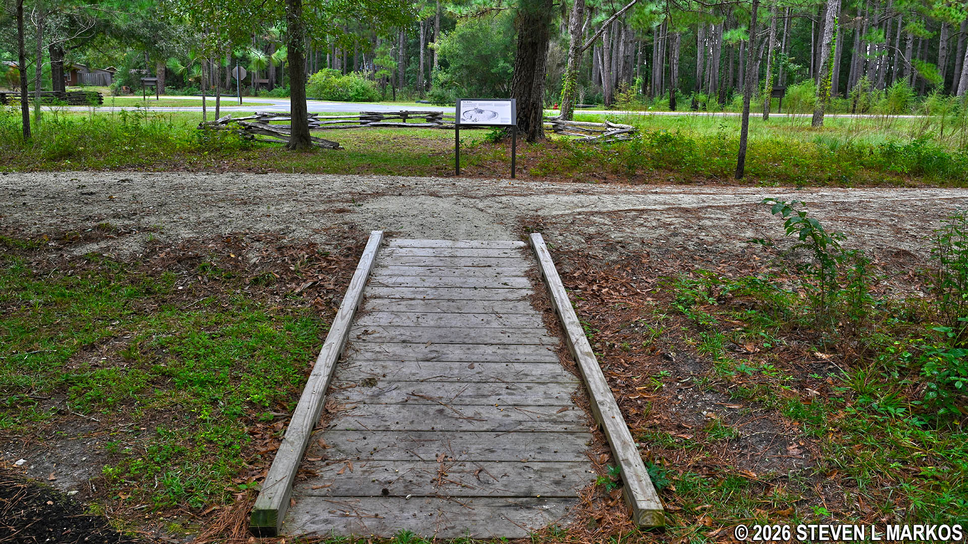
Footbridge to a tar kiln exhibit on the Tarheel Trail at Moores Creek National Battlefield
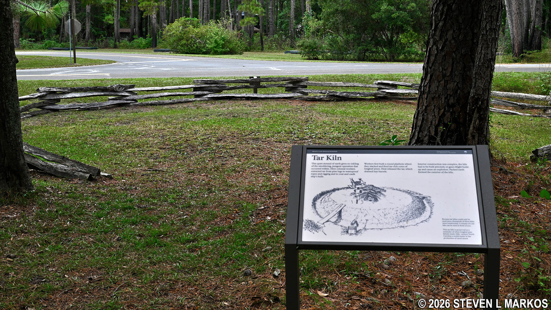
Tar kiln exhibit on the Tarheel Trail at Moores Creek National Battlefield
When done, you can return to the rubber path of the Tarheel Trail or walk back to the parking lot on the gravel road where the kiln exhibit is. This is one of the few existing segments of the Historic Black River Road that once connected Fayetteville and Wilmington. The soldiers who fought in the Battle of Moores Creek during the American Revolution arrived to the area on this road.
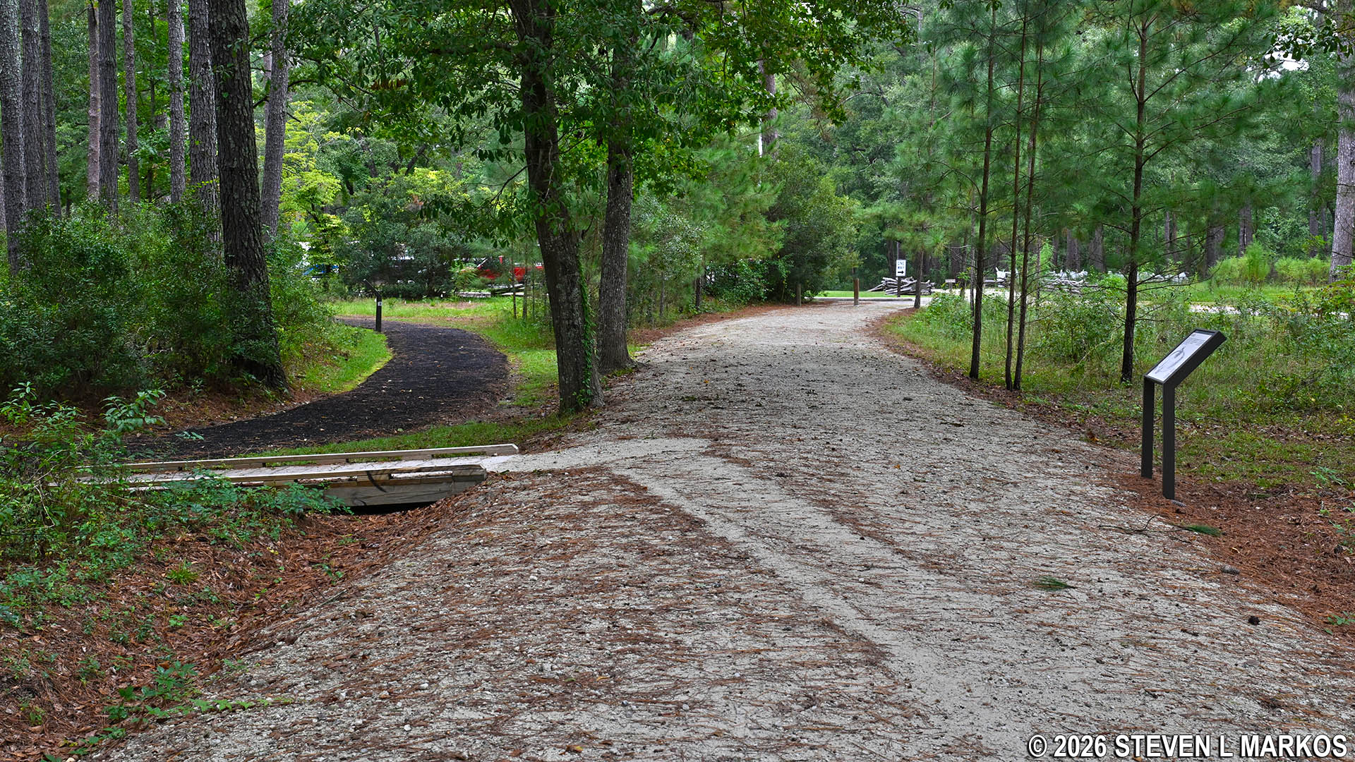
Last leg of the Tarheel Trail runs parallel to a segment of the Black River Road, Moores Creek National Battlefield
With a few exceptions, use of any photograph on the National Park Planner website requires a paid Royalty Free Editorial Use License or Commercial Use License. See the Photo Usage page for details.
Last updated on November 6, 2026


