
Old John Ward Trail in Kennesaw Mountain National Battlefield Park
Length: 1 mile (one way)
Time: 20 minutes (one way)
Difficulty: Easy
The Old John Ward Trail is located at the southern end of Kennesaw Mountain National Battlefield Park, west of the Illinois Monument at Cheatham Hill. It is an out-and-back trail, but nobody hikes it as such. Instead, most everyone hikes it as part of a 2.2-mile loop with the Cease Fire Trail and the Assault Trail. This is an extremely popular hike, so you won’t be alone on a nice day.
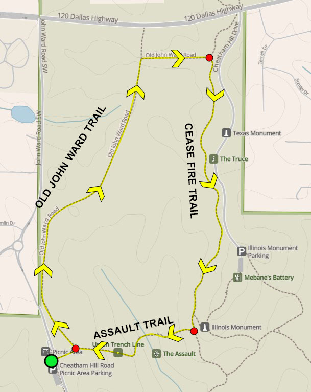
Old John Ward-Cease Fire-Assault Trails Loop Hike map
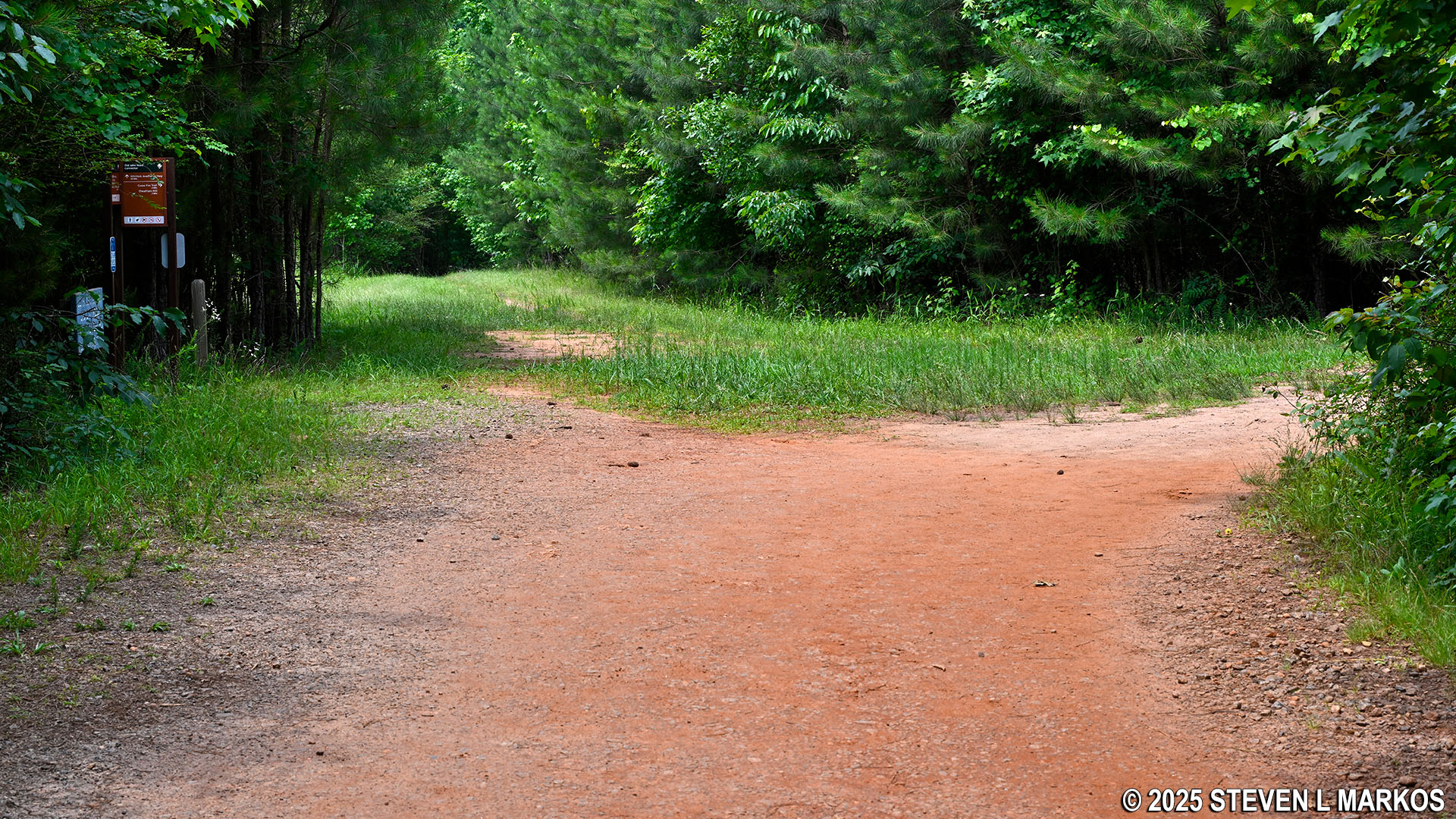
The best place—and the only practical place—to start a hike on the Old John Ward Trail is from the Cheatham Hill Road Parking Lot. Do not confuse this with the parking lot on Cheatham Hill Drive, which is the road that ends at the Illinois Monument. If using Google Maps for directions, search CHEATHAM HILL PARKING LOT.
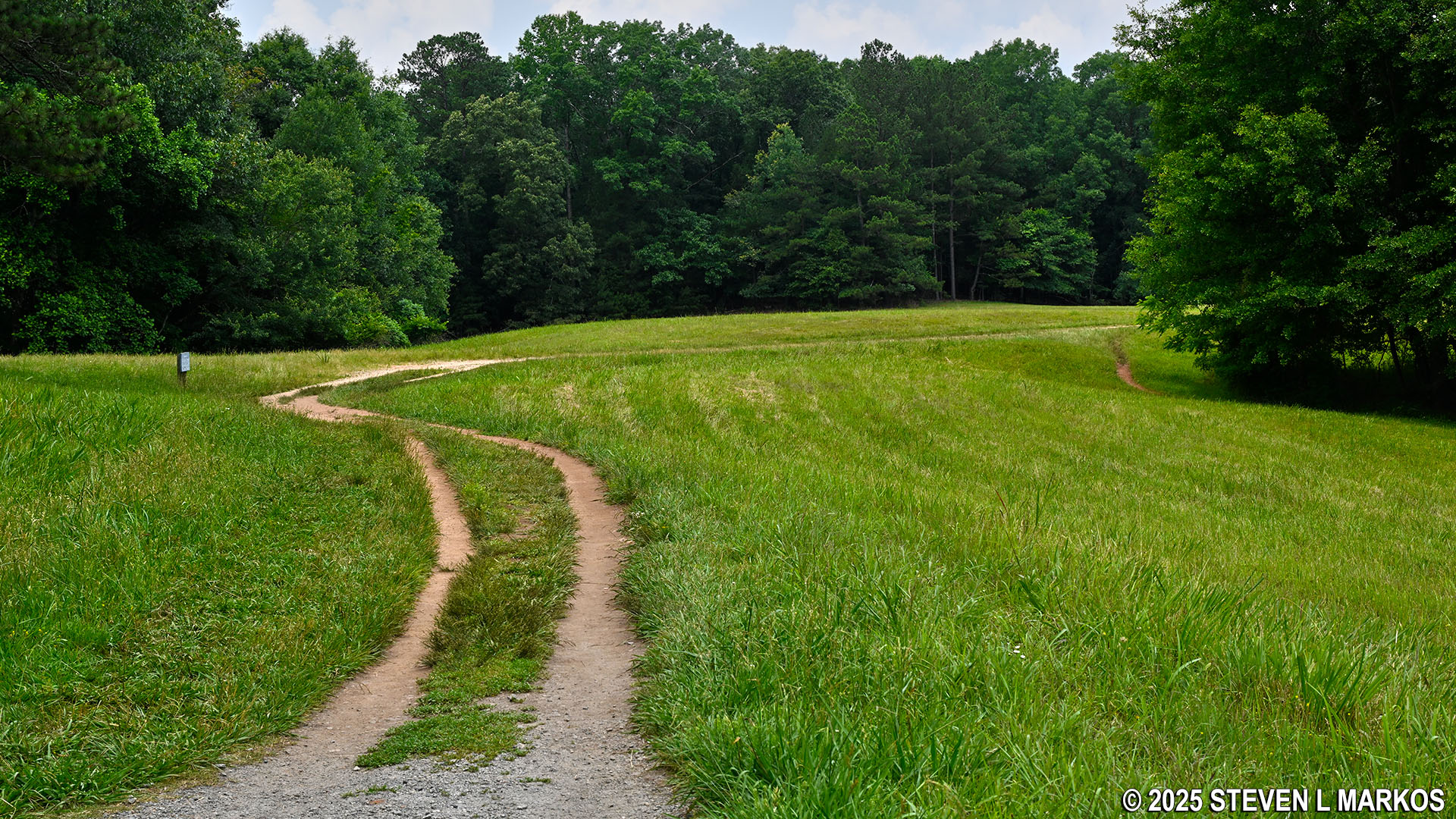
From the parking lot, use the crosswalk to cross Cheatham Hill Road, and then continue up the gravel path to a large field with distinct trails branching off in two directions. The field is described by the National Park Service as Activity Area 3, and the park’s online map shows a PICNIC TABLE symbol. However, there are no picnic tables here, and I don’t know what sort of activities anyone would want to do since the field is not exactly flat and the grass is rather tall unless it has recently been mowed. Picking up ticks is about the only activity I can see taking place here.

Crosswalk from the Cheatham Hill Road Parking Lot to Activity Field 3 at Kennesaw Mountain National Battlefield Park
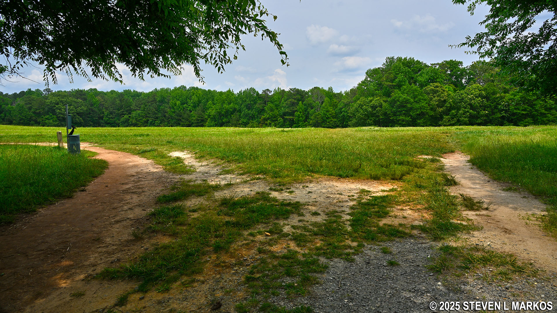
Hiking trails at the Activity Area 3 field near Cheatham Hill Road in Kennesaw Mountain National Battlefield Park
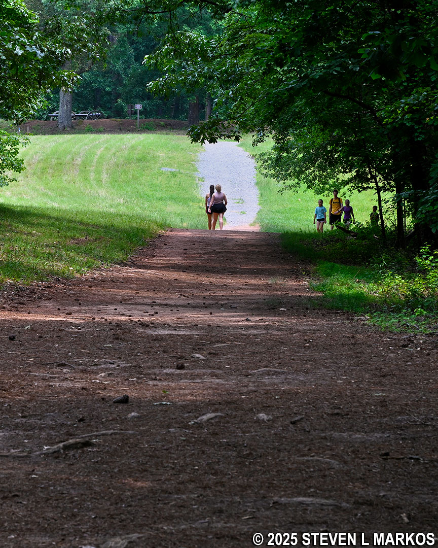
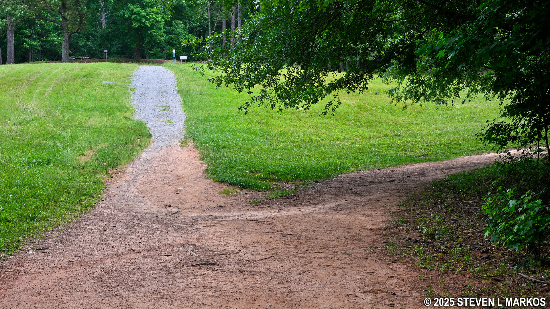
The trail to the left, which hugs the tree line and disappears at the long end of the field, is the Old John Ward Trail. The trail that begins straight ahead, cutting across the short side of the field and quickly entering the forest, is the Assault Trail. When starting the loop hike on the Old John Ward Trail and hiking in the clockwise direction, the Assault Trail is the trail on which you will return to the starting point.
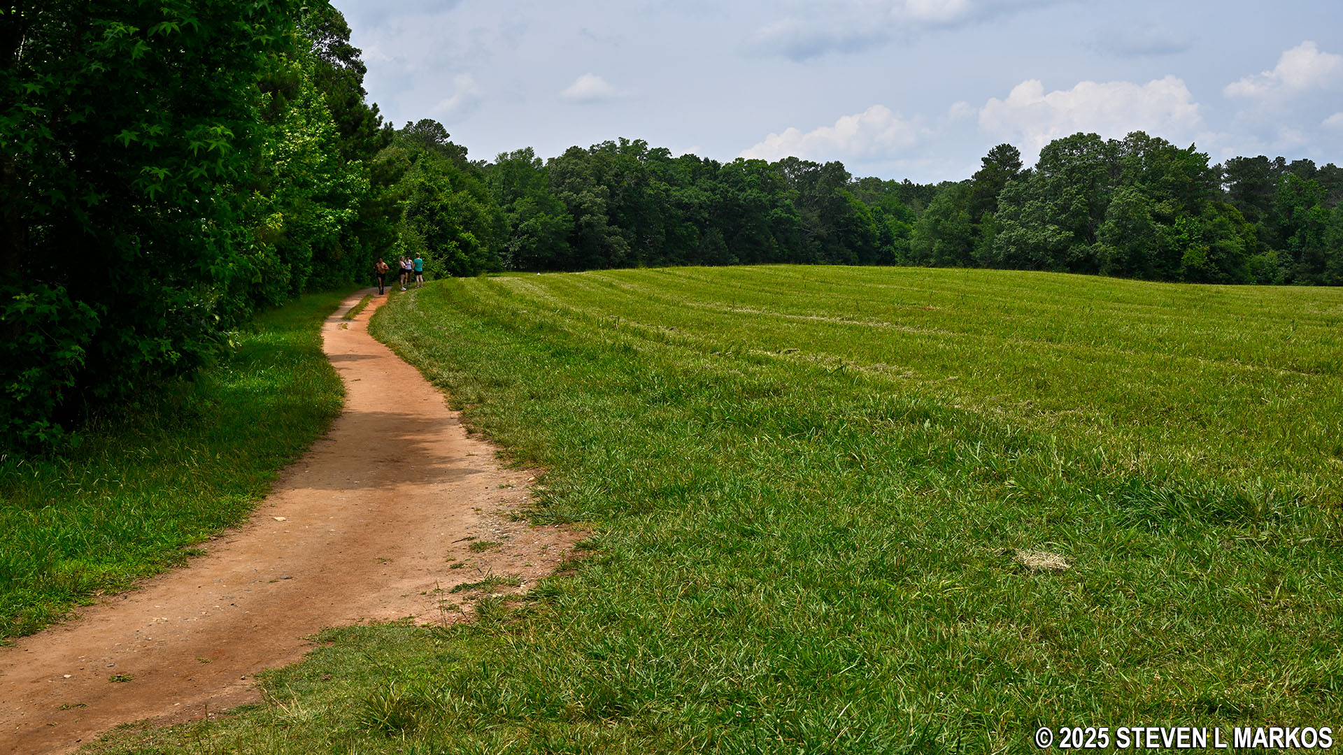
Start of the Old John Ward Trail at Cheatham Hill Road, Kennesaw Mountain National Battlefield Park
Westside trailhead for the Assault Trail at Cheatham Hill Road, Kennesaw Mountain National Battlefield Park
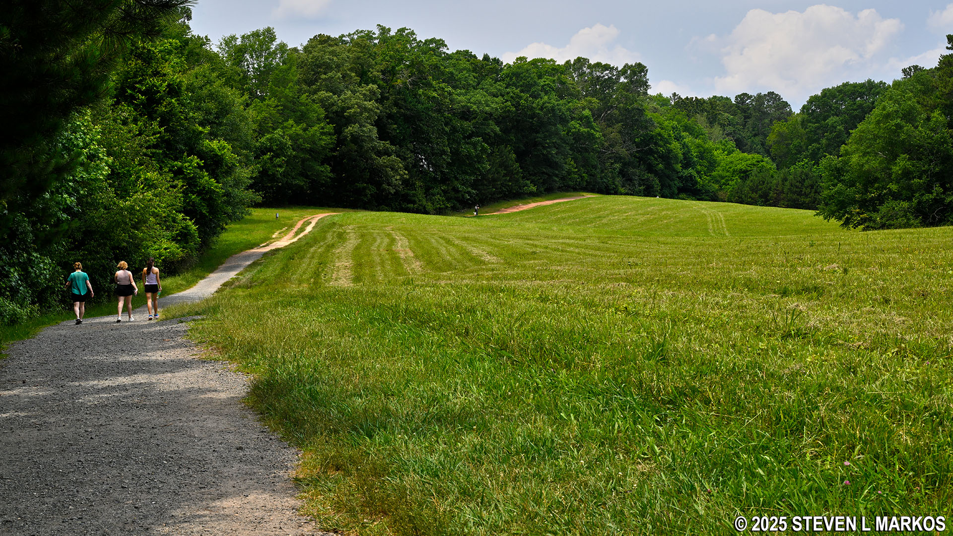
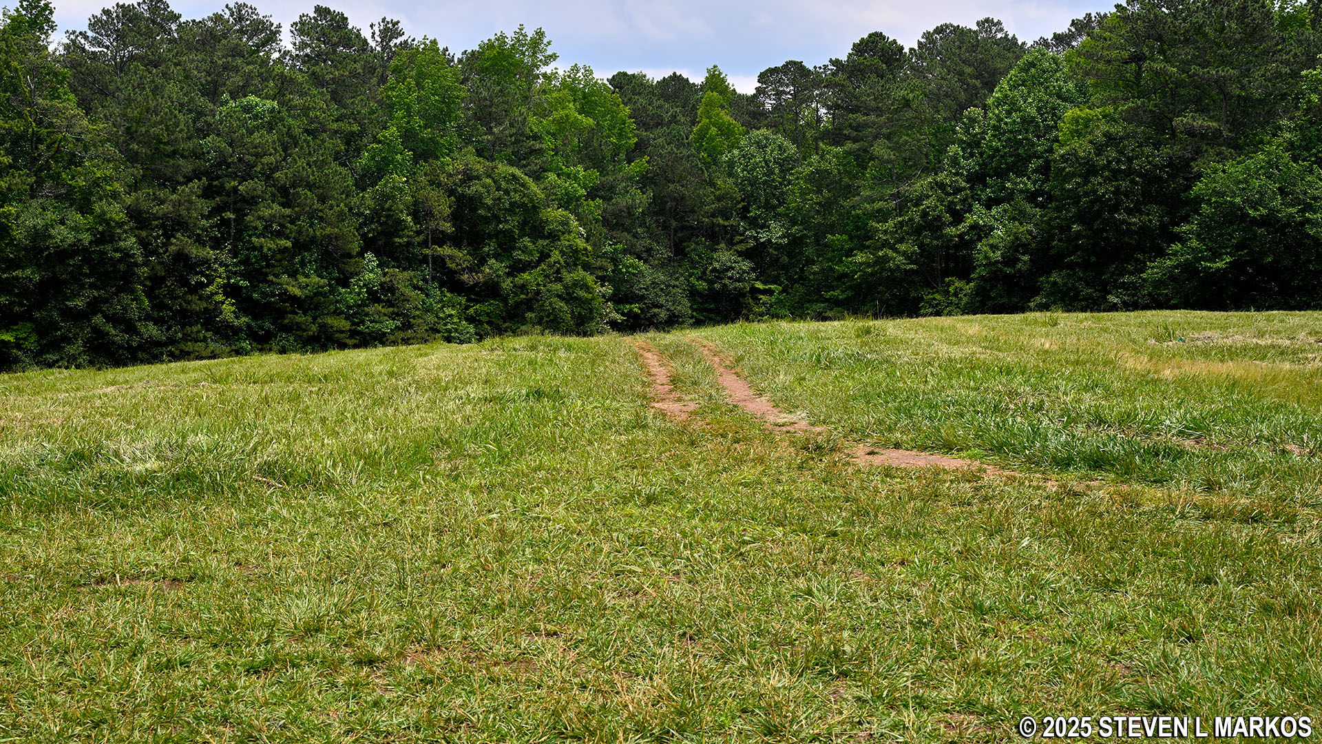
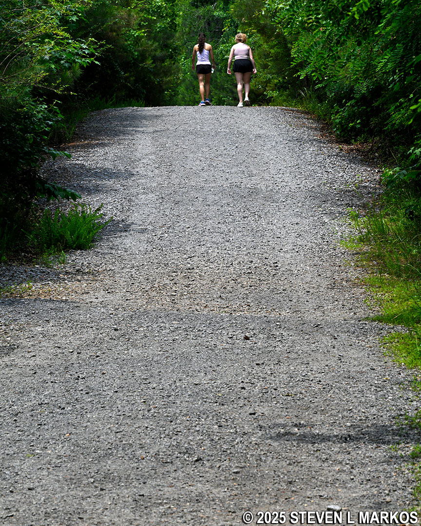
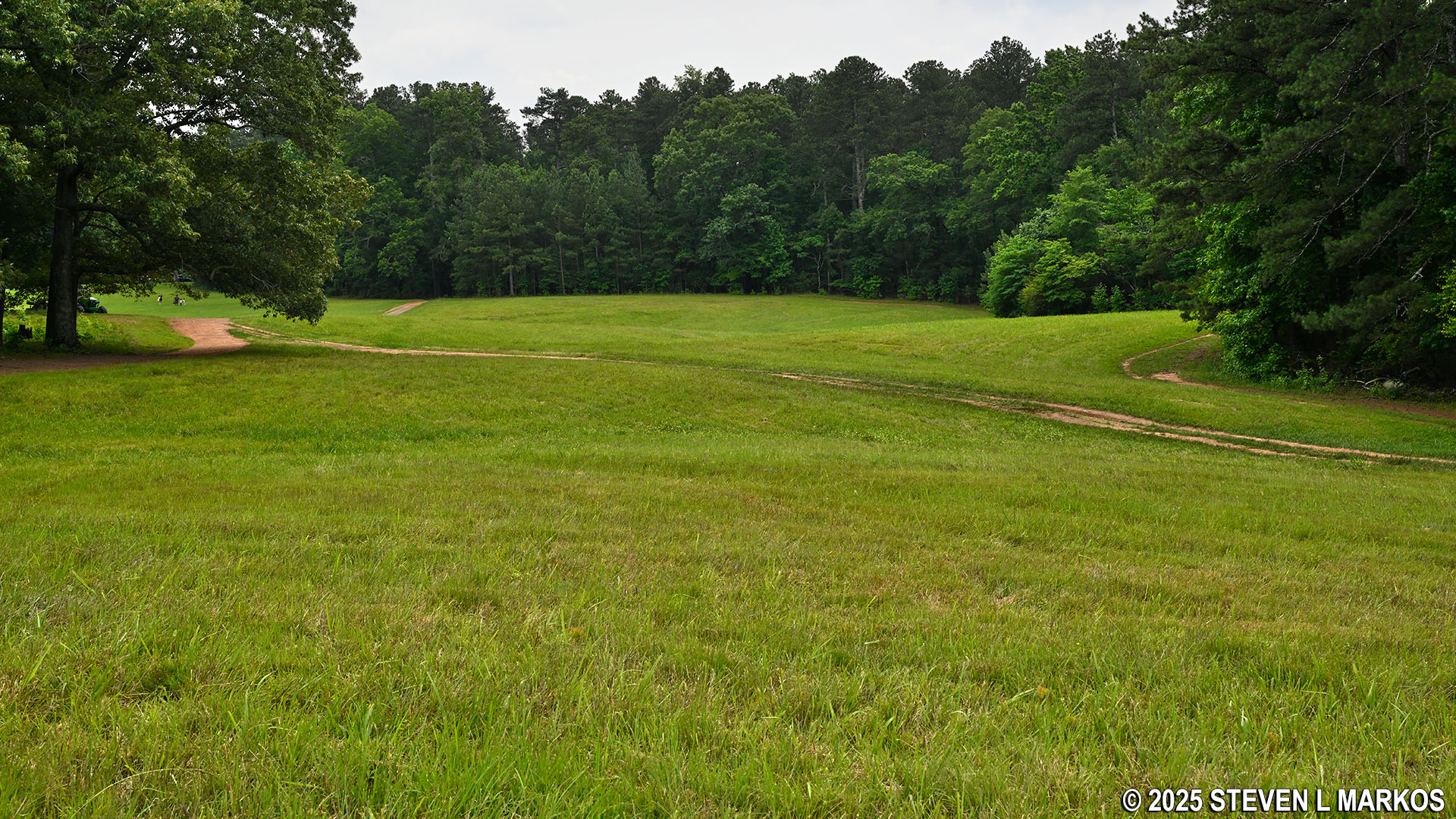
The Old John Ward Trail is a former dirt road, so it is wide and free of rocks and roots, making it extremely easy to walk on. It runs along the field for a half mile, flowing over gently rolling hills before entering the forest.
Typical terrain at the southern end of the Old John Ward Trail in Kennesaw Mountain National Battlefield Park
Along most of the trails in Kennesaw Mountain National Battlefield Park are signs marking troop positions during the Battle of Kennesaw Mountain. Blue signs mark Union positions and gray signs Confederate positions. There are a couple of Union signs along the Old John Ward Trail.
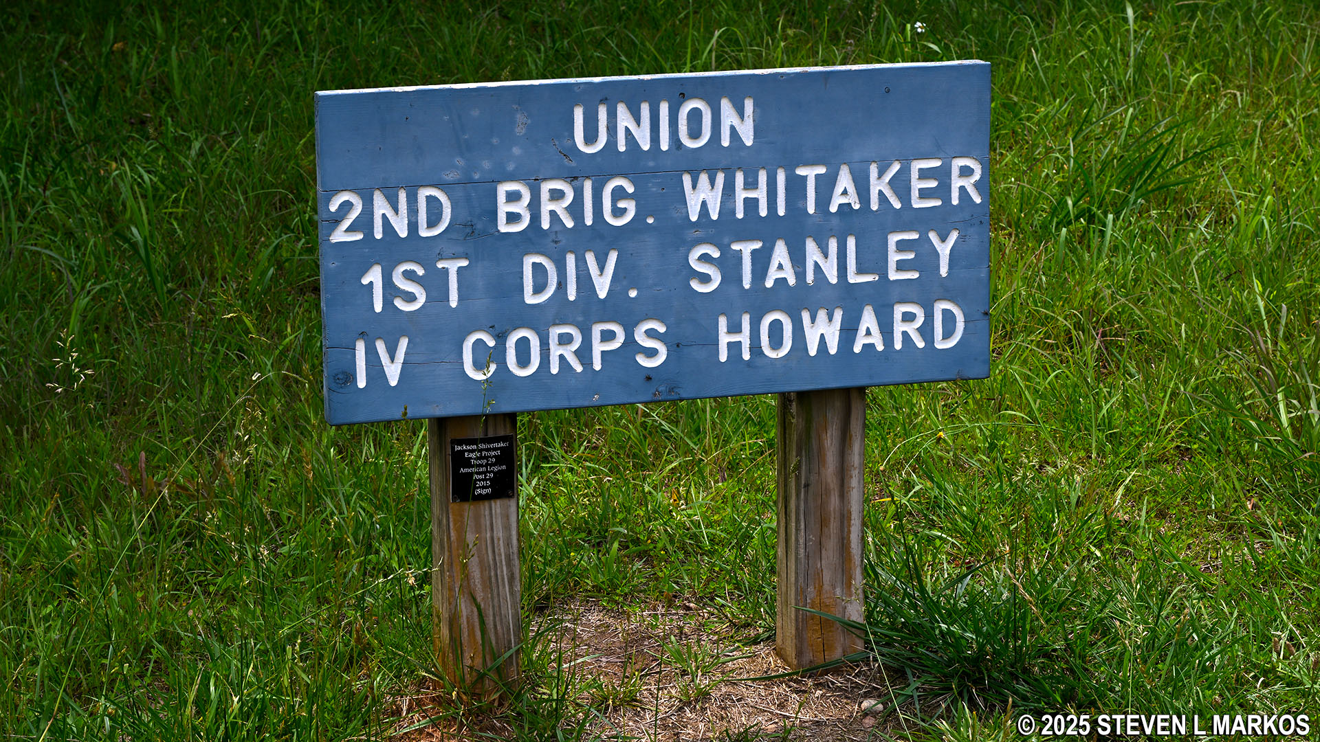
Union troop position marker along the Old John Ward Trail in Kennesaw Mountain National Battlefield Park
The forested section of the Old John Ward Trail is even wider than the section along the field. Because of this, the trees on either side are so far apart that the trail is not completely devoid of sunshine on a nice day. There are a few small hills along the way, but the trail is always easy to hike.
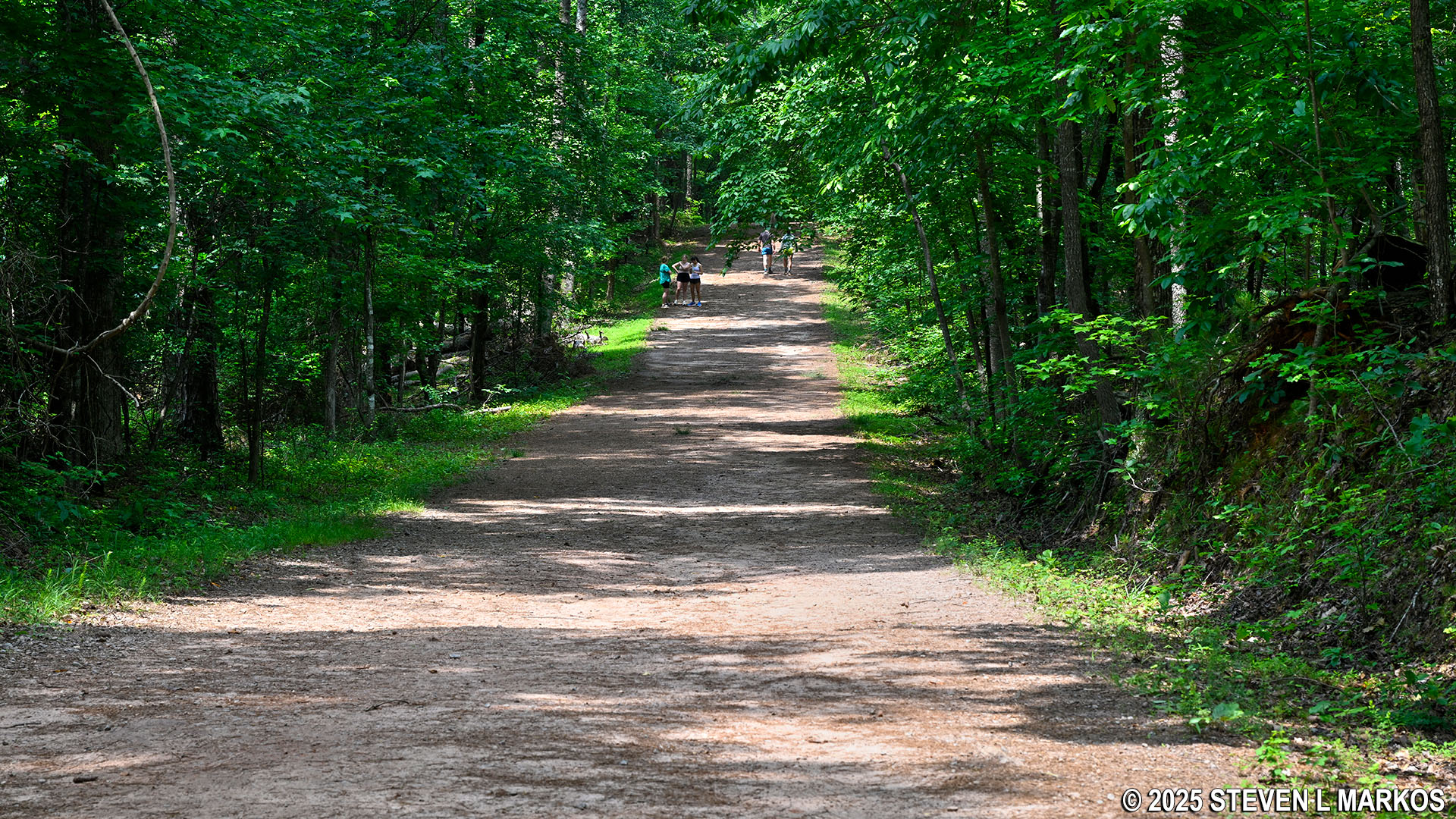
Typical terrain on the forested section of the Old John Ward Trail in Kennesaw Mountain National Battlefield Park
Small hill on the Old John Ward Trail in Kennesaw Mountain National Battlefield Park
At .9 mile into the hike, the Old John Ward Trail comes to an intersection marked by directional signage. The hike continues to the right. If you were to continue straight, you would end up on Dallas Highway, which is close enough that you could hit a golf ball to it.
Old John Ward Trail turns east at its northern end near Dallas Highway, Kennesaw Mountain National Battlefield Park
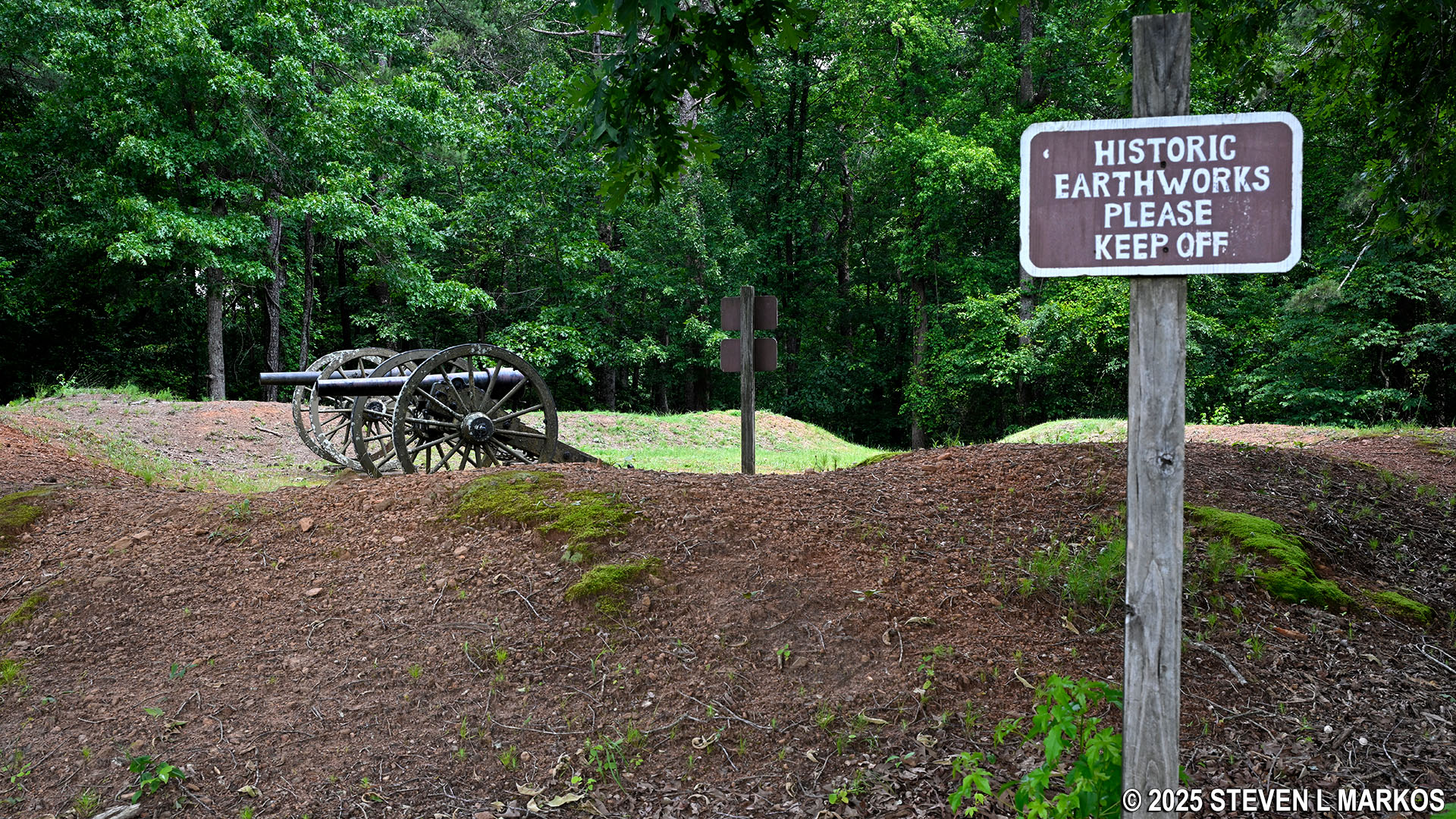
This east-west segment of the Old John Ward Trail ends at the Cease Fire Trail just a little over a tenth of a mile ahead. You can see the end from where the trail turns east. There is a small earthen fort with a couple of cannon on display at the intersection.
East-west segment of the Old John Ward Trail ends at the Cease Fire Trail, Kennesaw Mountain National Battlefield Park
There is a fork to the right on the Old John Ward Trail just before it ends at the Cease Fire Trail. On a busy day, you will see a lot of people walking on this fork, so it appears to be somewhat important despite the fact that it is not on the trail map. This is nothing more than a trail that cuts the corner over to the Cease Fire Trail, shaving off a little walking time. If you decide to take it, there is another fork directly ahead, with a left connecting to the Cease Fire Trail and a right running along the tree line and disappearing into the forest at the end of the field (I have no idea where this leads). Be sure to take the fork to the left so that you can reconnect with the Cease Fire Trail. Keep in mind that by cutting the corner you will miss the fort and cannons.
Fork in the Old John Ward Trail just west of the Cease Fire Trail, Kennesaw Mountain National Battlefield Park
Shortcut between the Old John Ward and Cease Fire trails, Kennesaw Mountain National Battlefield Park
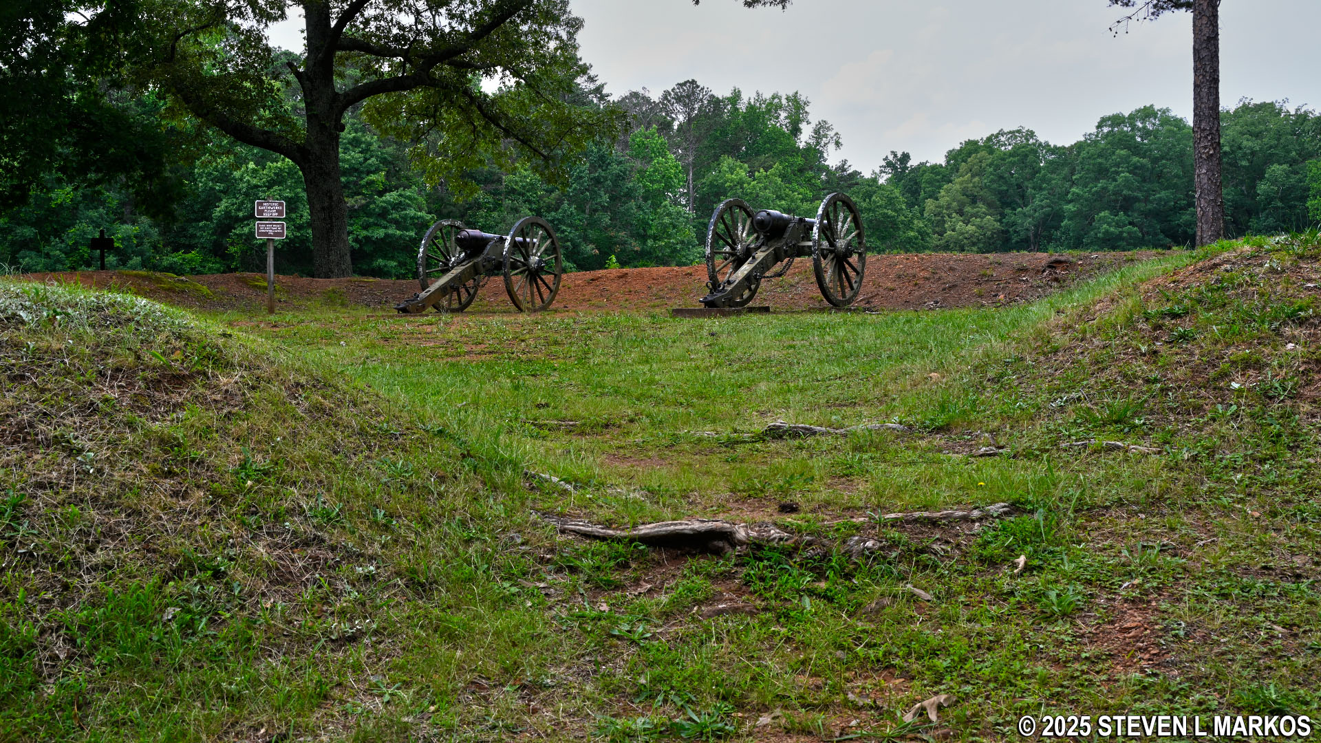
The earthen fort is a Confederate redoubt that was manned by Granbury’s Texas Brigade, which was named after its founding commander Colonel Hiram B. Granbury (who was later promoted to brigadier general). A redoubt is a fort that is built in an outlying area, sort of an outpost for soldiers sent to defend a strategic point. Faced with an overwhelming attack, this is a place to where the soldiers can fall back. In fact, the definition of redoubt is “a place of retreat.” Redoubts can be temporary structures made of earth (aka earthworks) or permanent structures made of brick or stone. Keep in mind that the walls of the Granbury redoubt would have been much taller when first built. In most cases, erosion has whittled down the earthworks over the 160-plus years since the Civil War.
Confederate redoubt and cannon exhibit at the intersection of the Old John Ward and Cease Fire trails, Kennesaw Mountain National Battlefield Park
If you want to get a closer look at the cannon, while you cannot climb over the earthen walls into the redoubt, there is an entrance in the back of the fort near the road (Cheatham Hill Drive). Fort entrances were always on the side where the enemy was least likely to come from. Being a Confederate redoubt, the cannon are facing in the direction from which the Union soldiers would most likely attack.
Rear entrance into the Confederate redoubt at the intersection of the Old John Ward and Cease Fire trails, Kennesaw Mountain National Battlefield Park
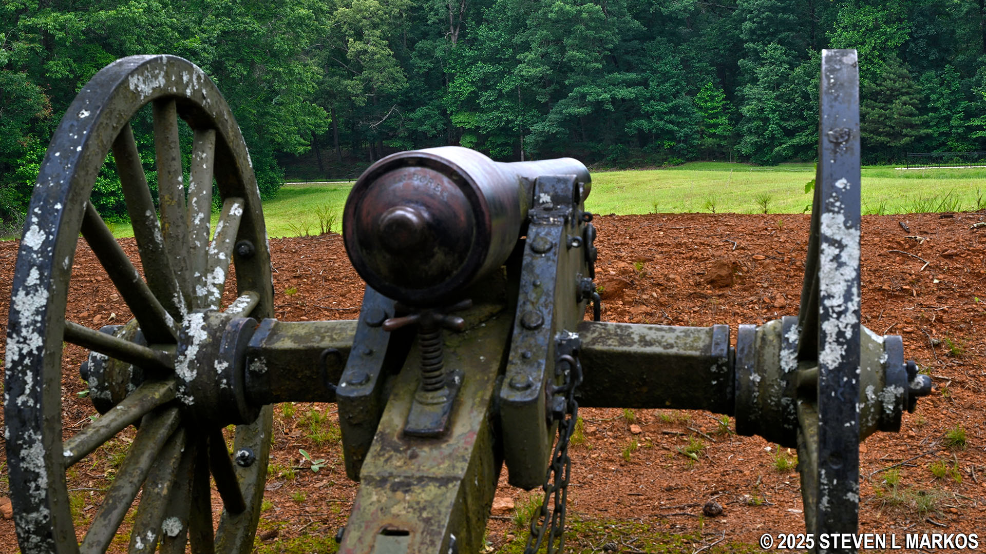
Confederate cannon aims at the Union line from the Confederate redoubt at the intersection of the Old John Ward and Cease Fire trails, Kennesaw Mountain National Battlefield Park
The Old John Ward Trail is just a tad over a mile long. As mentioned at the start of this report, there is no sense hiking back to the parking lot the same way you just came. Instead, head south on the Cease Fire Trail to the Illinois Monument and then take the Assault Trail back to the Cheatham Hill Road Parking Lot.
With a few exceptions, use of any photograph on the National Park Planner website requires a paid Royalty Free Editorial Use License or Commercial Use License. See the Photo Usage page for details.
Last updated on June 19, 2025


