
24-Gun Battery at Kennesaw Mountain National Battlefield Park
Length: 1.2 mile, one way (2.4 miles round trip)
Time: 30 minutes, one way (1 hour round trip)
Difficulty: Easy with a couple of moderate hills
Hiking the 24-Gun Battery Trail is the only way to see where the Union Army placed four artillery batteries of six cannon each in order to bombard Confederate positions on Kennesaw Mountain, Little Kennesaw Mountain, and Pigeon Hill. It is an out-and-back trail with one end near the Kennesaw Mountain National Battlefield Park Visitor Center and the other at a small parking lot on Gilbert Road. The National Park Service claims there are only three parking spaces, but there is actually room for a dozen vehicles. The official parking lot may hold three cars, but people have parked along the side of the road so often that there is now a well-worn parking area that can hold another ten cars. Keep in mind that there is a fee to use any of the parking lots within the park. There is no credit card-operated pay station at Gilbert Road, so be sure to purchase a pass at the Visitor Center or online at Recreation.gov before arriving.
The quickest way to get to the battery site is to start at the Gilbert Road Parking Lot, as it is just .2 mile from there. I opted to hike the entire 24-Gun Battery Trail starting at the Visitor Center. To get to the trailhead, you must first hike .3 mile on the Environmental Trail, which starts at the picnic area across from the Visitor Center parking lot. This makes the one-way distance of the hike 1.5 mile, for the 24-Gun Battery Trail itself is 1.2 mile long.
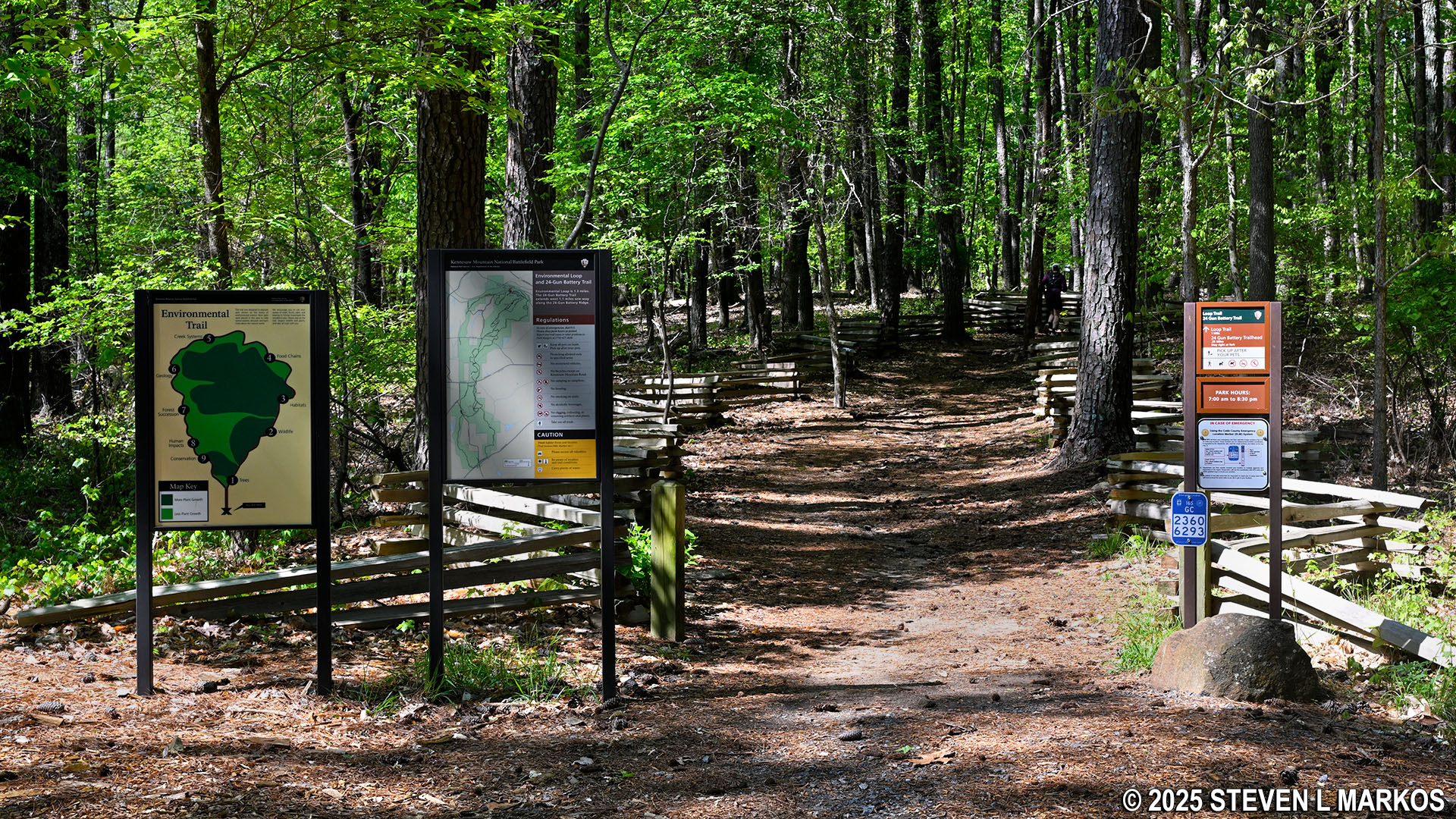
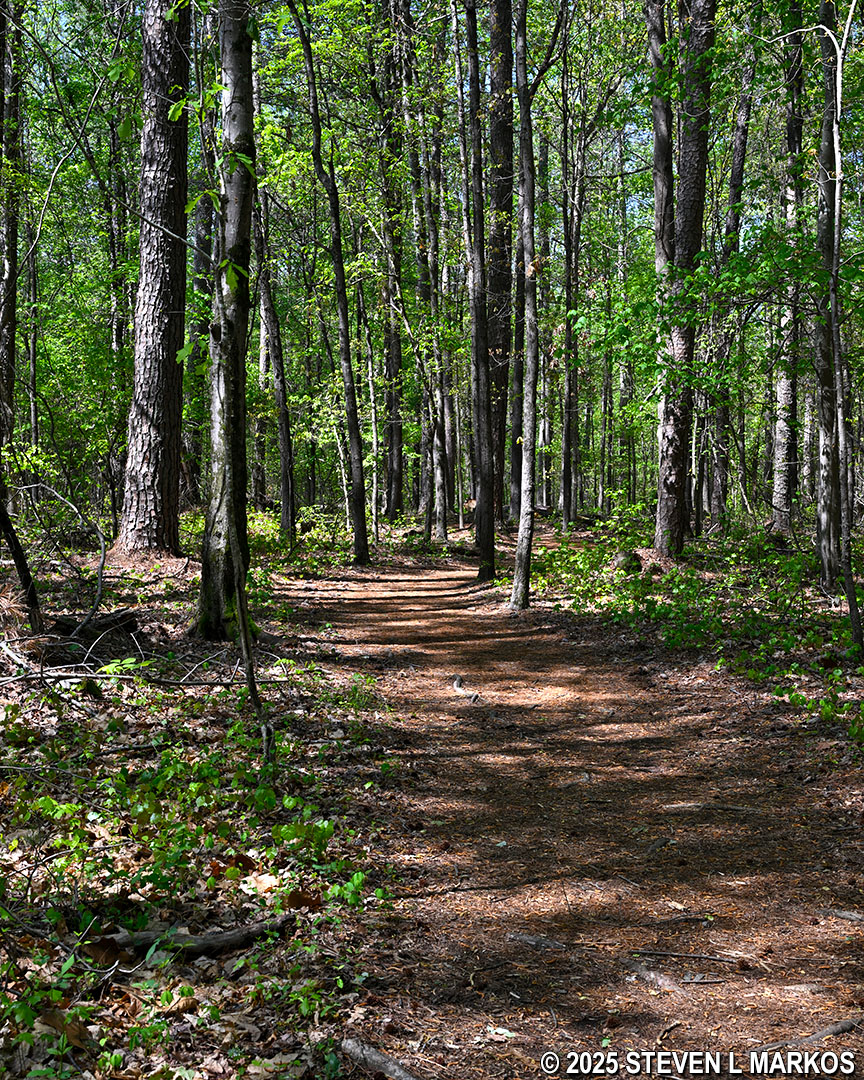
Start of the Environmental Trail at Kennesaw Mountain National Battlefield Park
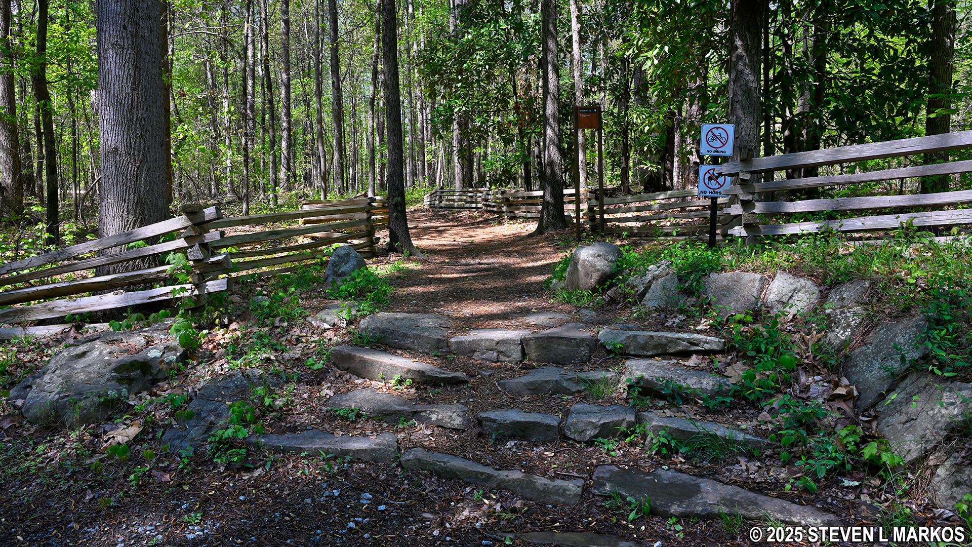
After hiking a little over 100-yards, the Environmental Trail forks. This is the start of the loop portion of the trail, and the National Park Service suggests hikers proceed to the right, counterclockwise around the loop. As it turns out, this is also the quickest way to the start of the 24-Gun Battery Trail. The intersection is a quarter mile away, and it is clearly marked with directional signage.
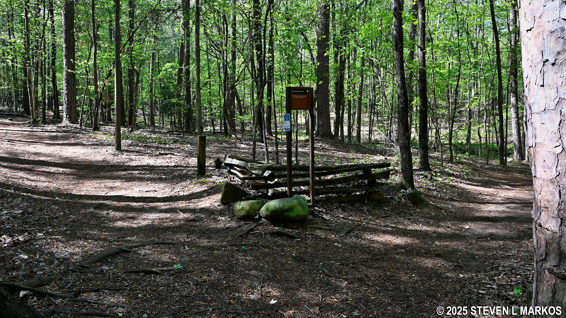
Intersection of the Environmental and 24-Gun Battery trails, Kennesaw Mountain National Battlefield Park
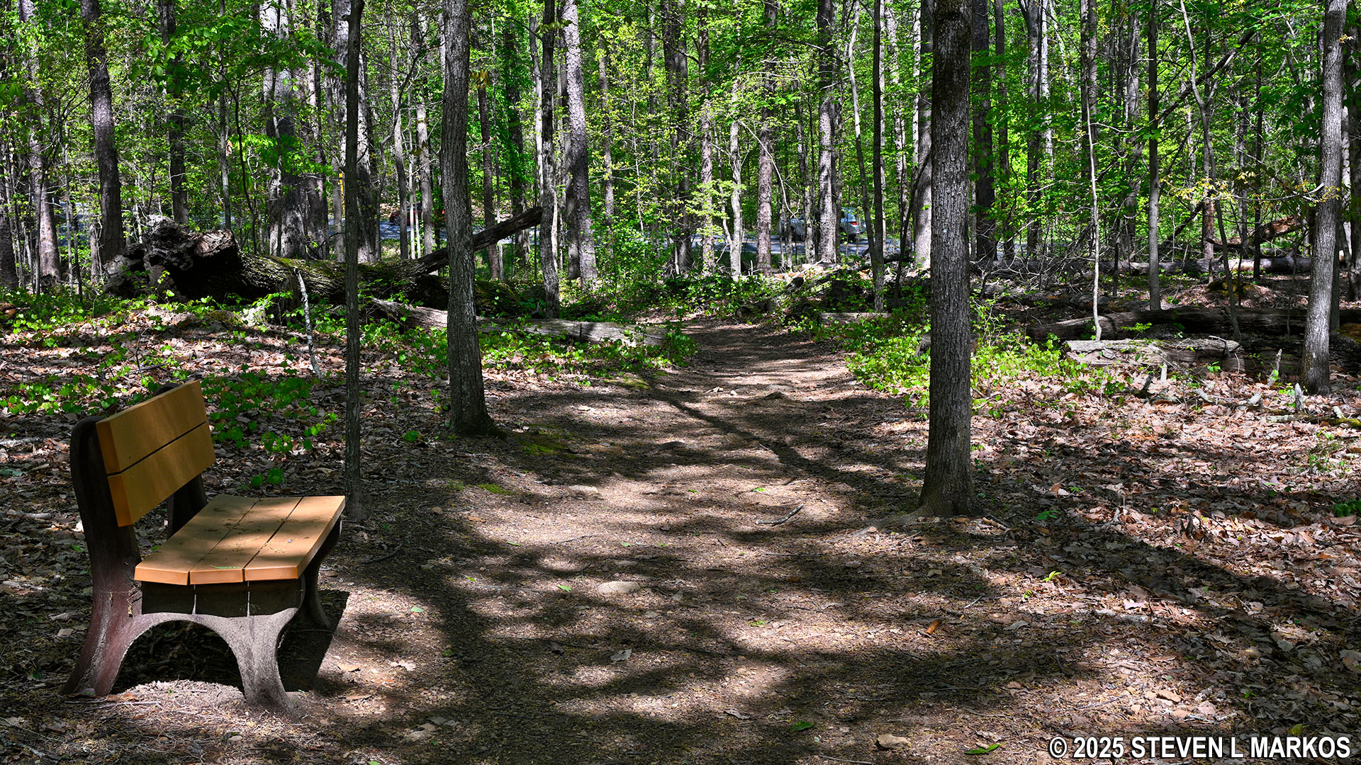
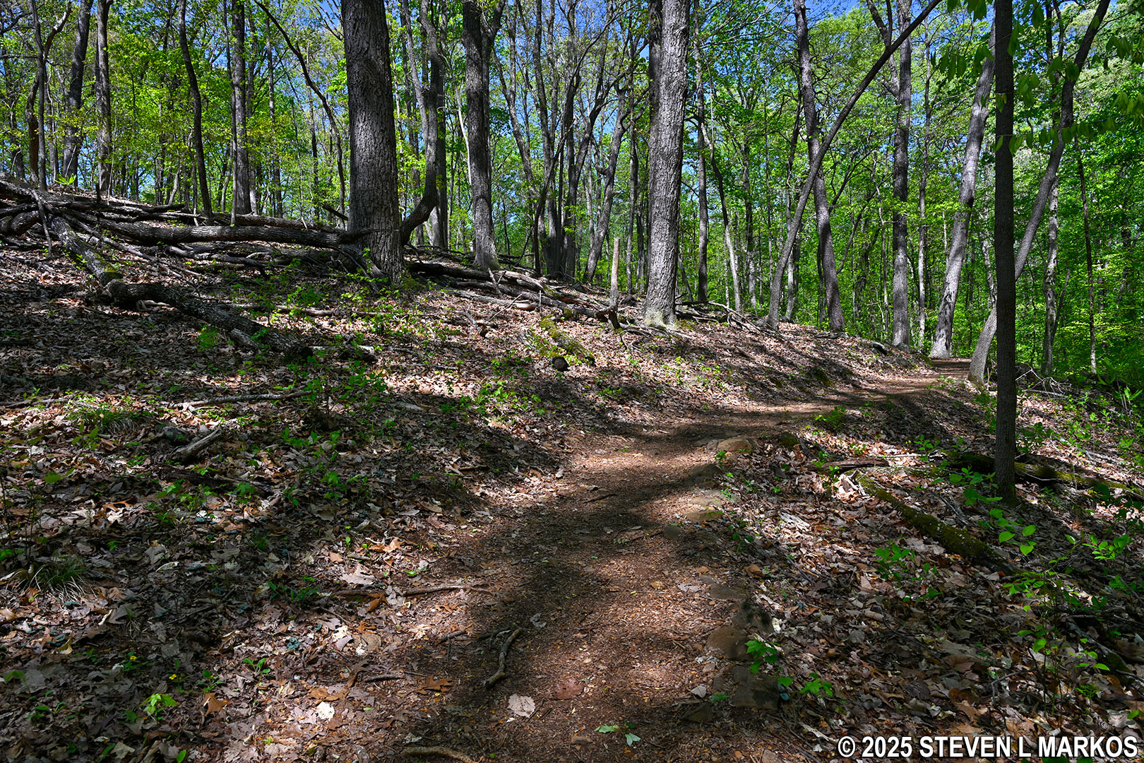
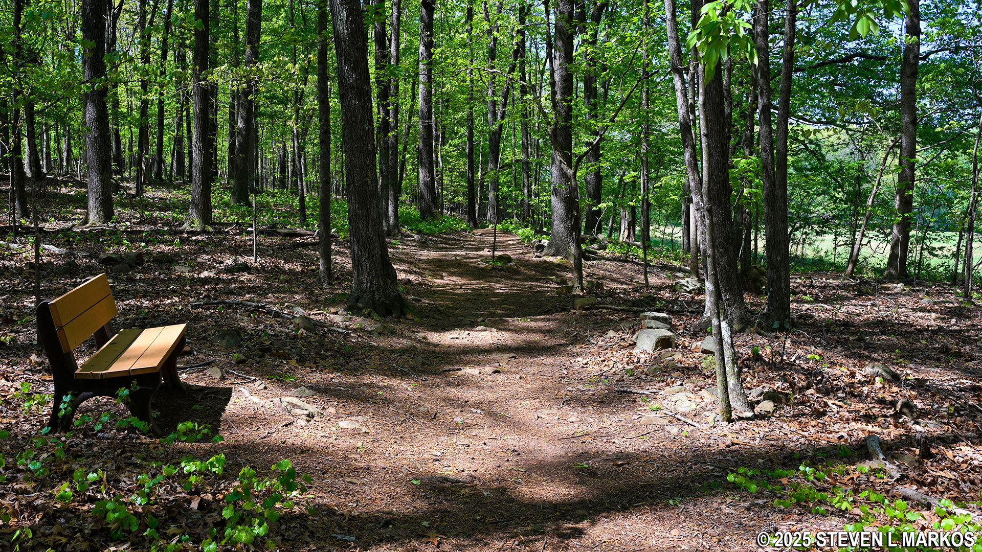
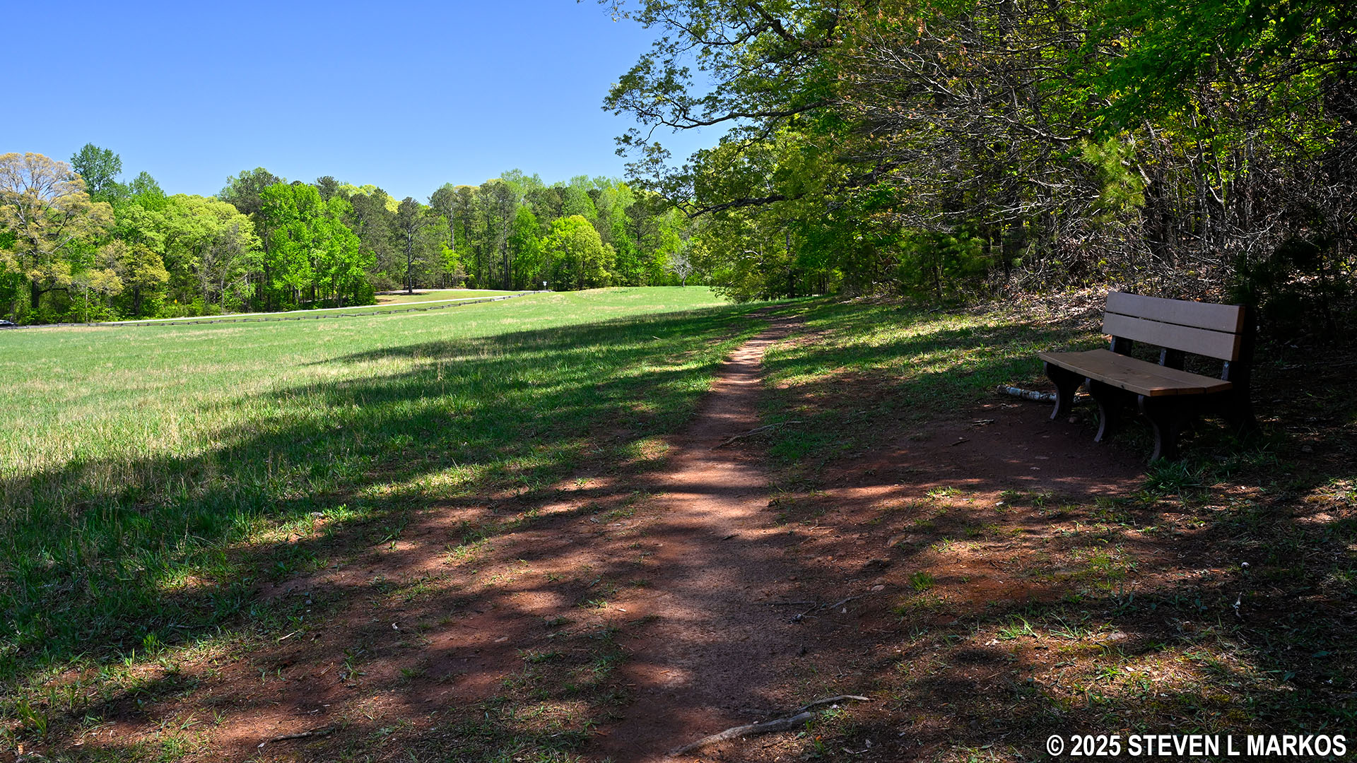
The first .2 mile of the 24-Gun Battery Trail covers hilly terrain, and there are quite a lot of rocks and roots on the trail surface. However, most of the ascents and descents are mild, and it only takes a few seconds to get to the top or bottom of any notable hills. There are also benches along the path.
Typical terrain on the eastern end of the 24-Gun Battery Trail in Kennesaw Mountain National Battlefield Park
After .2 mile, the trail comes to Old Mountain Road. To continue the hike, cross the road and then take a left to get to the trailhead, essentially making a small zig-zag. The crossing point is a stone’s throw from the intersection of Old Mountain and Stilesboro roads, so not only do you have traffic at the crossing point to contend with, cars are also turning quickly from Stilesboro onto Old Mountain Road, so you need to be constantly looking left and right as you cross.
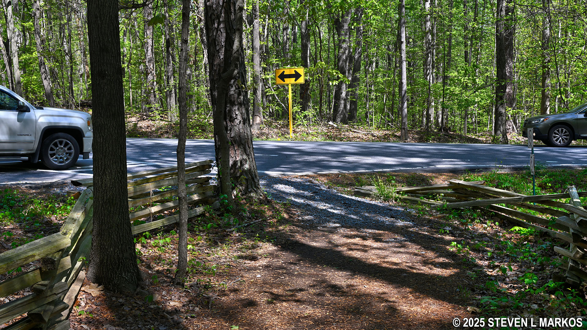
Intersection of the 24-Gun Battery Trail and Old Mountain Road, Kennesaw Mountain National Battlefield Park
Continuation of the 24-Gun Battery Trail on the west side of Old Mountain Road, Kennesaw Mountain National Battlefield Park
Once on the other side of the road, the 24-Gun Battery Trail is an easy hike. After a short hill right at the start, the trail seems to be as flat as a pancake even though the general trajectory is actually downhill into a ravine for the next .4 mile. However, the slope is so gradual that you won’t even notice you are heading downhill. The trail is always wide, and most of the time the surface is free of rocks and roots.
Typical terrain on the 24-Gun Battery Trail west of Old Mountain Road, Kennesaw Mountain National Battlefield Park
At the bottom of the ravine is a small creek, and once across the trail immediately makes its way up and out of the ravine. In this case, the hill is the steepest on the 24-Gun Battery Trail. The average grade of the incline is 15%, which is the point where strenuous hiking begins. However, the length of the uphill segment is only 100 feet, so it does not take long to get to the top.
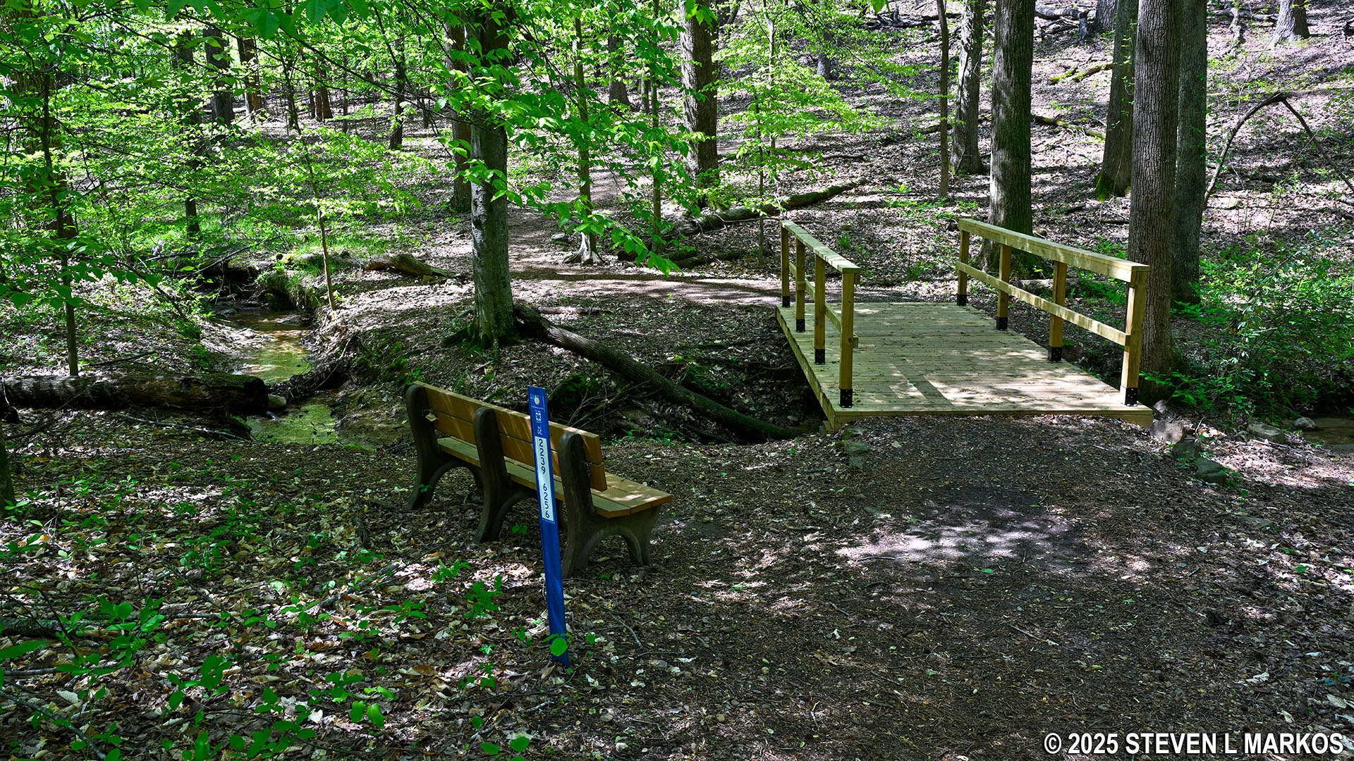
The 24-Gun Battery Trail crosses a creek near its midway point, Kennesaw Mountain National Battlefield Park
Steepest hill on the 24-Gun Battery Trail at Kennesaw Mountain National Battlefield Park
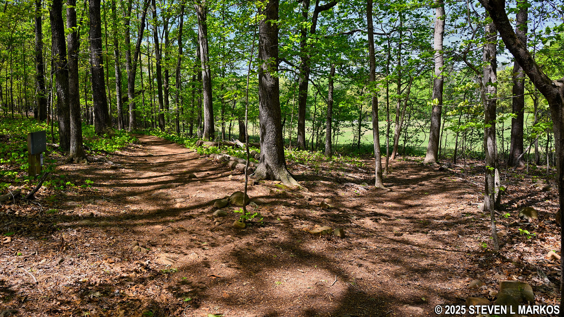
Once at the top of the hill, the 24-Gun Battery Trail once again appears to be as flat as a pancake. However, the general trajectory is still uphill for the next .4 mile, but as with the hike down into the ravine, the uphill grade is so slight that you won’t even notice the incline.
Typical terrain on the western half of the 24-Gun Battery Trail at Kennesaw Mountain National Battlefield Park
While nearly all of the 24-Gun Battery Trail west of Old Mountain Road has a smooth trail surface, there are some short segments with rocks and roots, so it is not always easy hiking.
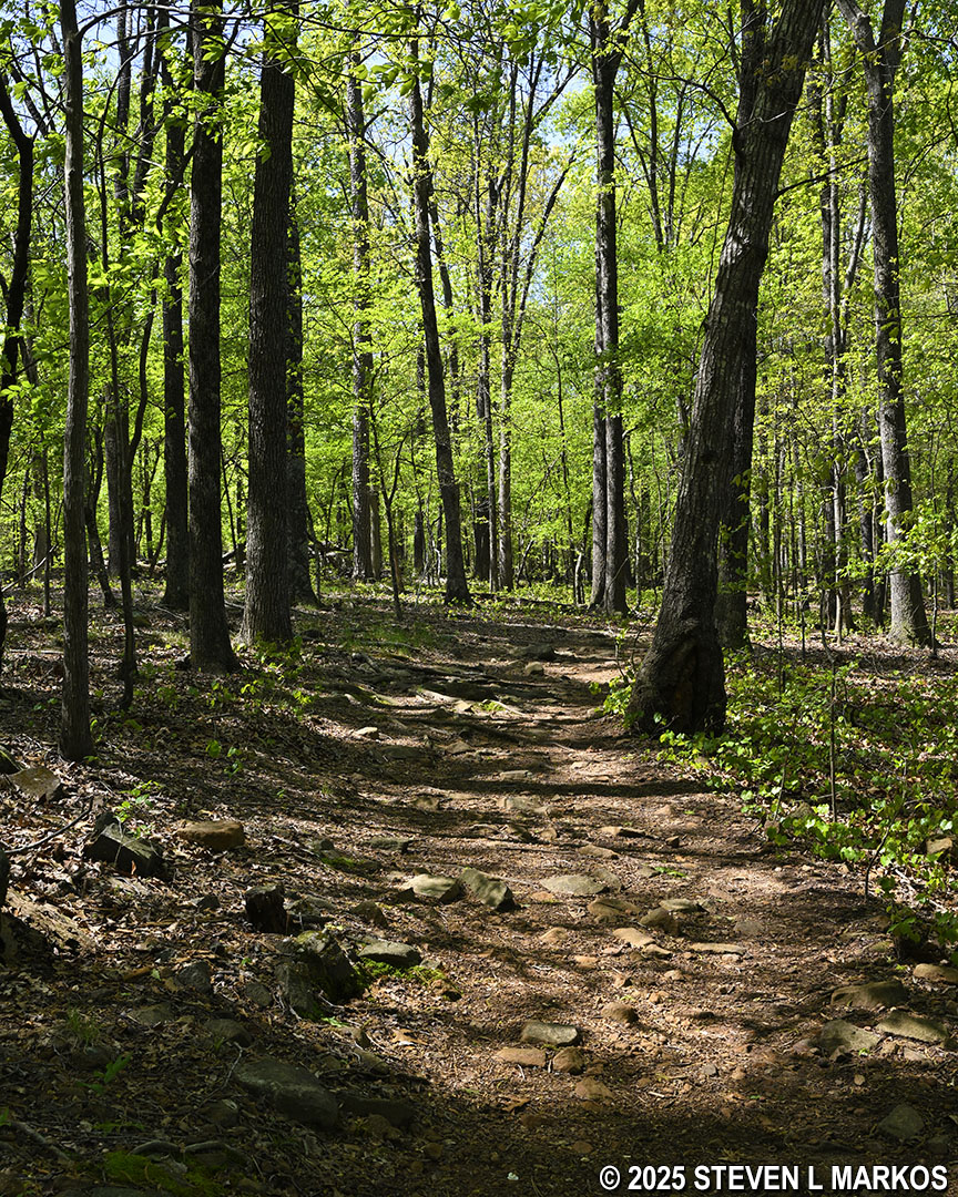
Rocky section of the 24-Gun Battery Trail at Kennesaw Mountain National Battlefield Park
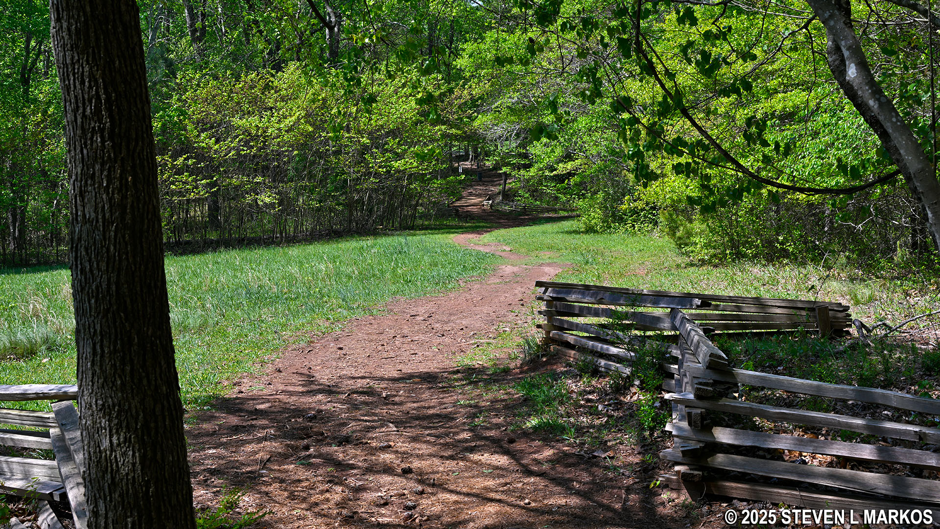
About a quarter mile past the creek (.8 mile from the start of the trail), there is a field off to the right that is separated from the 24-Gun Battery Trail by perhaps 50 feet of forest. A side trail forks off to the field, and from this point to the end of the trail .4 mile ahead, the two trails run parallel to and are always within eyesight of each other. Both end at the Gilbert Road Parking Lot. If you are hiking out and back as I was, take the field trail on the return trip so that you get a little change of scenery. However, stick to the official 24-Gun Battery trail for now, otherwise you will miss the cannon exhibits at the Union battery site.
Trail to a large field forks off to the right of the 24-Gun Battery Trail, Kennesaw Mountain National Battlefield Park
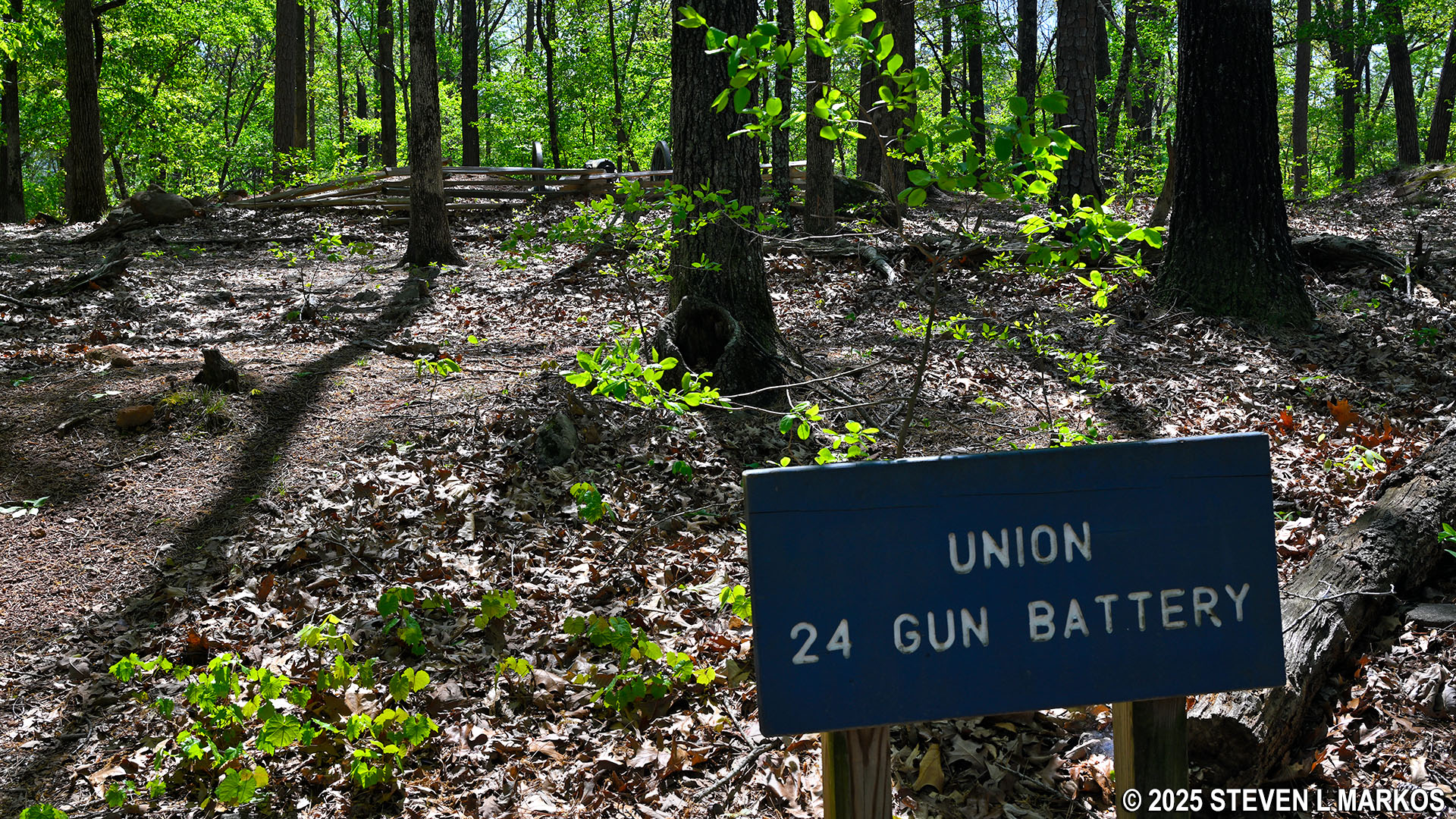
After hiking uphill for .4 mile from the creek, you arrive at the top where four authentic Civil War-era cannon are on display, marking the general positions of the 2nd Illinois Artillery, the 5th Wisconsin Battery, the 7th Indiana Battery, and the 19th Indiana Battery. The earthen barriers they are positioned behind are remnants of the actual earthworks built by Union soldiers. The bronze cannon on display is a 12-pounder Napoleon gun, the same used by two of the batteries. The other three black cannon are 3-inch ordinance guns, which were not actually part of the batteries, but over 150 years later, they are the best representations that the National Park Service could find. The other two batteries had 10-pounder Parrott guns. (Note: pounder is the weight of the shell that could be fired.)
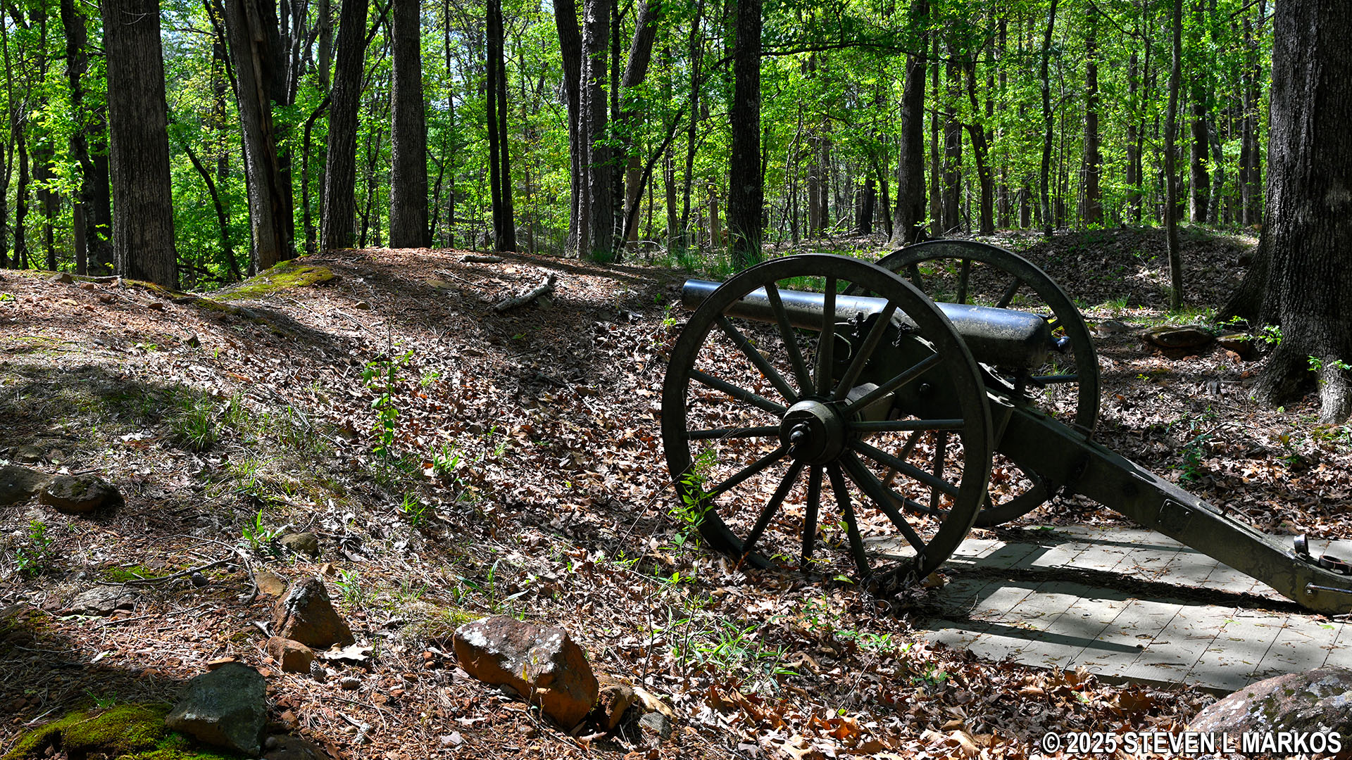
Cannon on display at the site of the Union Army’s 24-Gun Battery, Kennesaw Mountain National Battlefield Park
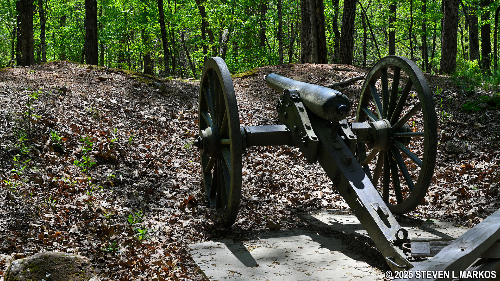
Cannon on display at the site of the Union Army’s 24-Gun Battery, Kennesaw Mountain National Battlefield Park
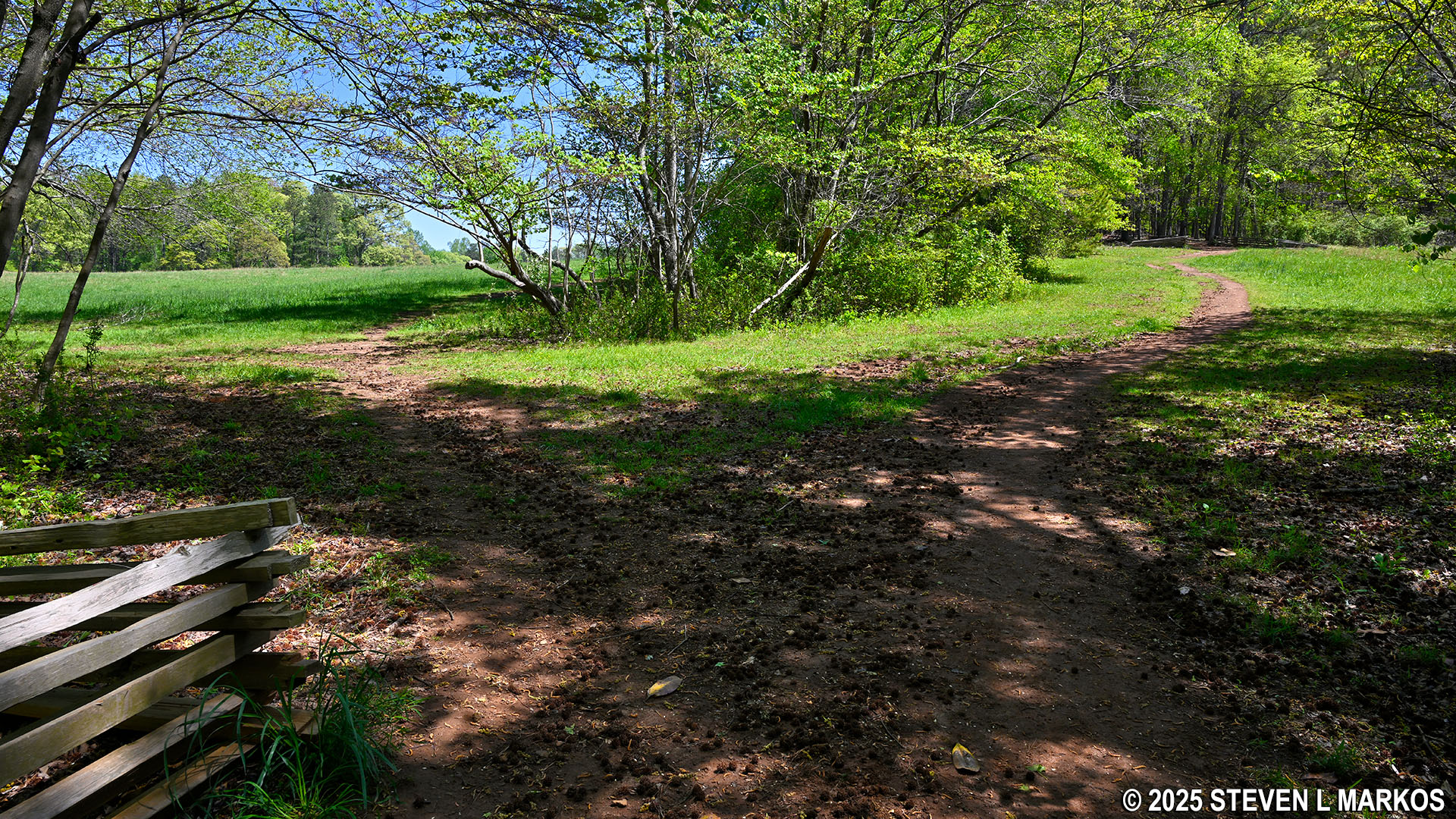
The 24-Gun Battery Trail now heads slightly downhill all the way to the Gilbert Road Parking Lot .2 mile ahead. Just before the end is an open field. If it weren’t for the trees on the far side, you could see the parking lot.
Open field at the western end of the 24-Gun Battery Trail at Kennesaw Mountain National Battlefield Park
As I mentioned, on the way back you have the option to cover new terrain by taking the trail that runs through the field. When it merges back with the 24-Gun Battery Trail after .4 mile, take a left to return to the Environmental Trail and the Visitor Center. About the only reason not to take the field trail is if you are hiking in the summer and the sun is angled so that it is hitting the tree line along the field where the path is. If that’s the case, stick to the forest where the temperatures will be a little cooler.
Fork at the western end of the 24-Gun Battery Trail leads to a parallel trail along the open field, Kennesaw Mountain National Battlefield Park
Trail through an open field next to the 24-Gun Battery Trail at Kennesaw Mountain National Battlefield Park
I hiked the 24-Gun Battery Trail in April when the weather was perfect for outdoor recreation, and I really enjoyed it. When I am hiking in a history-based park such as Kennesaw Mountain National Battlefield Park, I am more interested in hiking to historical attractions than I am in seeing pretty scenery. The only knock on the trail is that it runs close to Stilesboro Road, so you are most always within earshot of traffic noise.
With a few exceptions, use of any photograph on the National Park Planner website requires a paid Royalty Free Editorial Use License or Commercial Use License. See the Photo Usage page for details.
Last updated on April 21, 2025


