
Bracken Pond Trail at Home of Franklin D. Roosevelt National Historic Site
Length: .7 mile (one way)
Time: 20 minutes (one way)
Difficulty: Easy with on steep hill
The Bracken Pond Trail is one of three traditional hiking trails that branch off from the Roosevelt Farm Lane, a former road that connects Franklin Roosevelt’s Springwood estate at Home of Franklin D. Roosevelt National Historic Site with Eleanor Roosevelt’s Val-Kill cottage at Eleanor Roosevelt National Historic Site. The Farm Lane is 1.8 mile long, one way, so if you hike it and don’t have a ride waiting at one end, you have a 1.8-mile return trip ahead of you. Instead of hiking out and back on the Farm Lane and seeing the same things twice, the side trails provide hikers with a chance to cover new ground during one leg of the journey. They are ultimately all just walks in the woods and do not pass anything interesting or remotely scenic, plus they add about a half mile to the trip, so if your goal is just to get to and from the parks as quickly as possible, stick to the Roosevelt Farm Lane. Also keep in mind that bikes are allowed on the Farm Lane but not on the side trails.

Roosevelt Farm Lane Trail Map (click to enlarge)
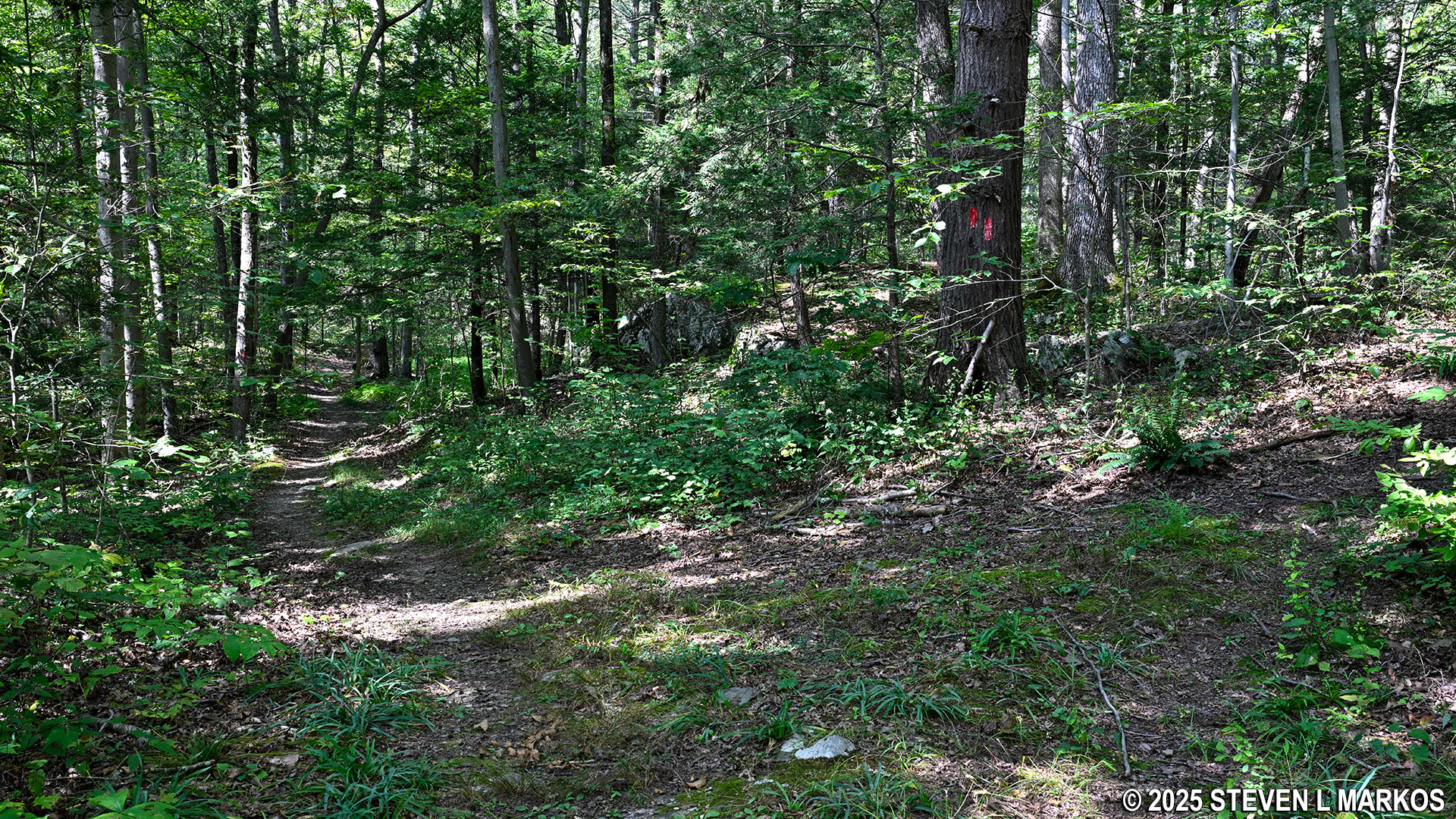
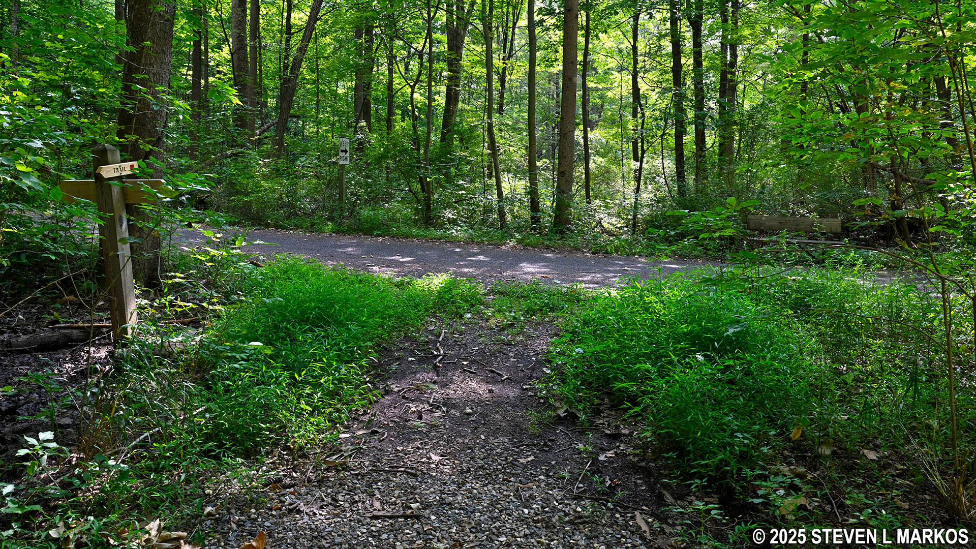
Note that while all of the side trails have directional signage at their intersections with the Roosevelt Farm Lane, the trail names are not mentioned on the signs. The signs do have painted squares on them, and the colors represent the different trails. Red is the color for the Bracken Pond Trail. You will also find red paint splotches on the trees along the trail. These are known as blazes, and they serve as Hansel and Gretel breadcrumbs that hikers follow to stay on the correct path.
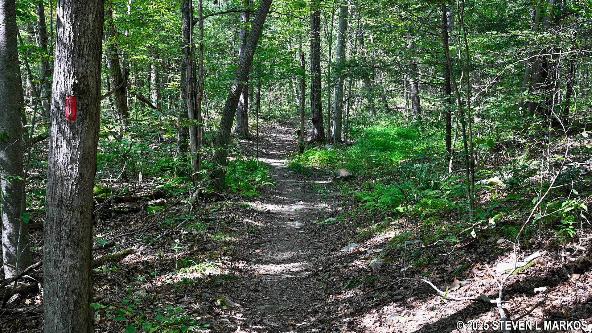
Red blazes mark the route of the Bracken Pond Trail at Home of Franklin D. Roosevelt National Historic Site
I visited Home of Franklin D. Roosevelt National Historic Site in late August, and there were mosquitoes on most of the trails. As long as I kept walking, they didn’t bother me, but when I stopped to take photos they were on me within seconds. If you are the type of hiker that stops often to admire the scenery, take photos, or take breaks, consider using mosquito repellent when hiking any of the trails in the park during late spring, summer, and early fall.
I started my hike on the Roosevelt Farm Lane from Springwood early in the morning so that when I got to Eleanor Roosevelt National Historic Site I had time to explore the park. I had to hike back to Springwood, and I decided to take the side trails, first jumping on the Newbold Trail and heading west, and then continuing on the Bracken Pond Trail, also hiking it east to west. This trail report is written from that perspective.
When approaching the Bracken Pond Trail from the Newbold Trail, take a right at the intersection to begin the hike on the Bracken Pond Trail. Staying straight leads to the Roosevelt Farm Lane.
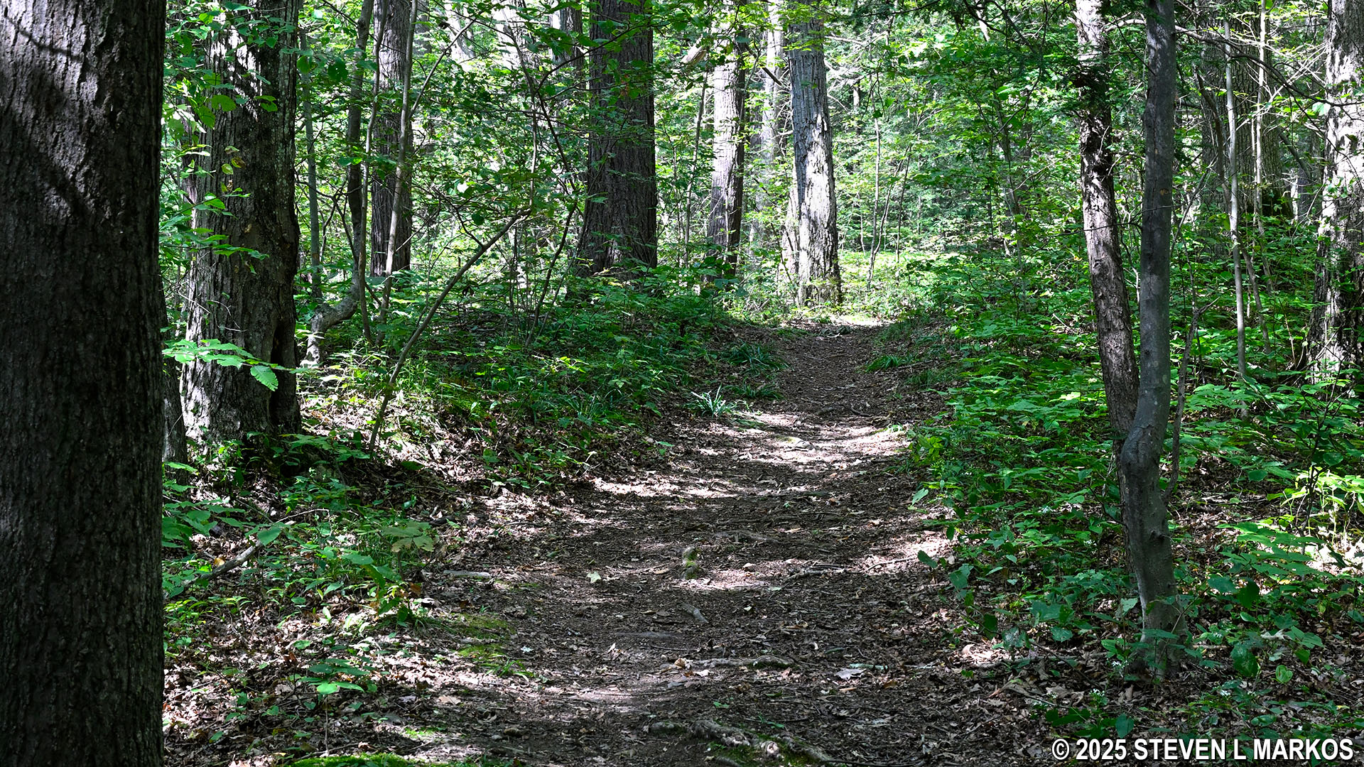
Intersection of the Newbold and Bracken Pond Trails at Home of Franklin D. Roosevelt National Historic Site
While most of the Bracken Pond Trail is fairly wide, there are a few narrow sections that are a little overgrown. I usually don’t report this since a clean-up crew could come through the area at any time and clear the trail. However, there were enough of these sections that I got the feeling this doesn’t happen often. The large majority of people hiking in this area stick to the Roosevelt Farm Lane, so the side trails don’t get much traffic. I can’t imagine that the National Park Service spends money to clear them on a regular basis. Due to the chance of picking up ticks in the grassy areas, I suggest wearing long pants. In fact, that is good advice for most of the trails at Home of Franklin D. Roosevelt National Historic Site. If nothing else, long pants will keep the mosquitoes off your legs, and that’s less skin you have to coat with chemical repellant.
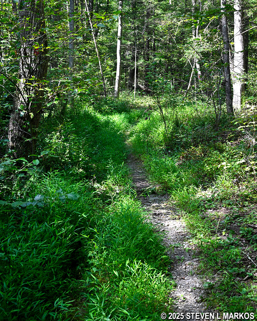
Narrow section of the Bracken Pond Trail at Home of Franklin D. Roosevelt National Historic Site
The first tenth of a mile on the Bracken Pond Trail is uphill. There is a short-but-steep 100-foot segment right off the bat, but after that it’s just a long, gradual ascent to the top. The next third of a mile covers level terrain.
At the .2-mile mark is a split in the trail that is not on the map. There is a double red blaze on a tree that stairsteps to the left. Double blazes indicate a turn, and the direction of the stairstep indicates which way to turn, in this case left (which is really straight). I believe the trail to the right leads out of the park, perhaps to a subdivision.
Fork in the Bracken Pond Trail that is not on the map, Home of Franklin D. Roosevelt National Historic Site
A tenth of a mile past the fork is a boardwalk meant for keeping hikers out of water and mud. The trail map does show a number of wetlands in this area, which may account for the mosquitoes. The area was dry when I did the hike.
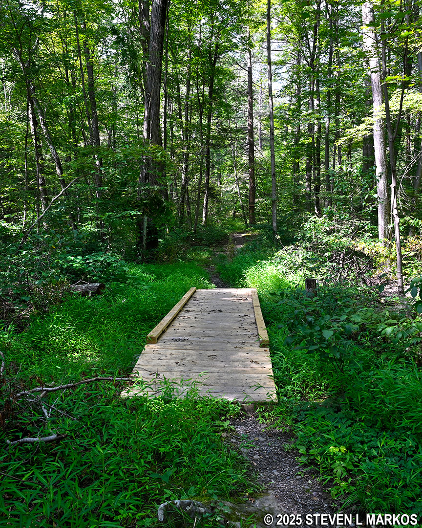
Short boardwalk through a wet area on the Bracken Pond Trail at Home of Franklin D. Roosevelt National Historic Site
Not far past the boardwalk is the steepest hill on any of the Roosevelt Farm Lane side trails. The way I was hiking the Bracken Pond Trail, I was heading downhill. Overall, the hill is about 170 feet in length, and 60 feet of it has an average grade of 20% (15% is where strenuous hiking starts). It does taper off towards the bottom.
A second un-mapped intersection comes a half mile into the hike. The Bracken Pond Trail continues to the left. The trail to the right also appears to lead out of the park to a neighborhood.
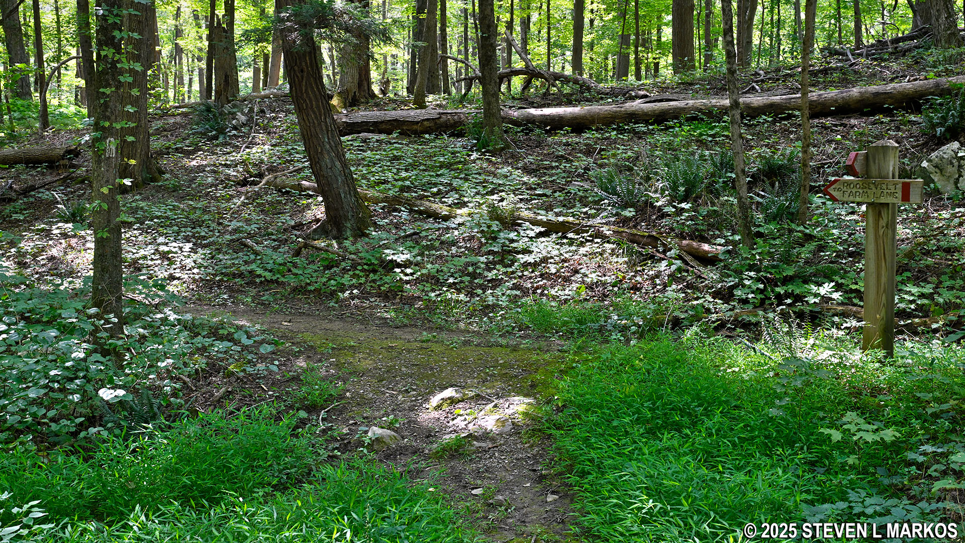
Second split in the Bracken Pond Trail that is not on the map, Home of Franklin D. Roosevelt National Historic Site
Bracken Pond is about a hundred yards past the left turn. It is a good ways into the forest, so it is not possible to get right to the shore unless you want to Lewis and Clark It™. Given the possibility of ticks, poison ivy, and briars, no thanks.
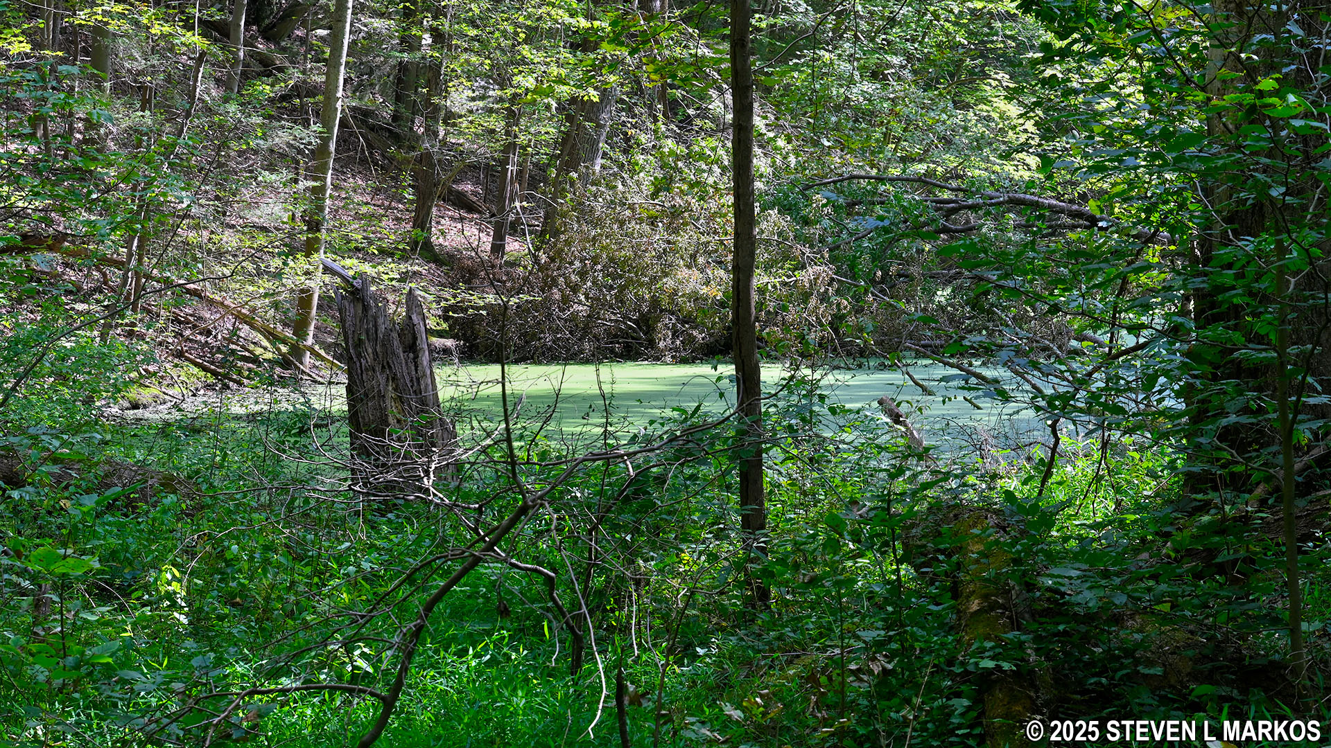
Bracken Pond along the Bracken Pond Trail at Home of Franklin D. Roosevelt National Historic Site
The Bracken Pond Trail dead ends into Roosevelt Farm Lane in less than a tenth of mile from the pond. I took a right to get back to the Farm Lane parking lot on Albany Post Road, a distance of .3 mile.
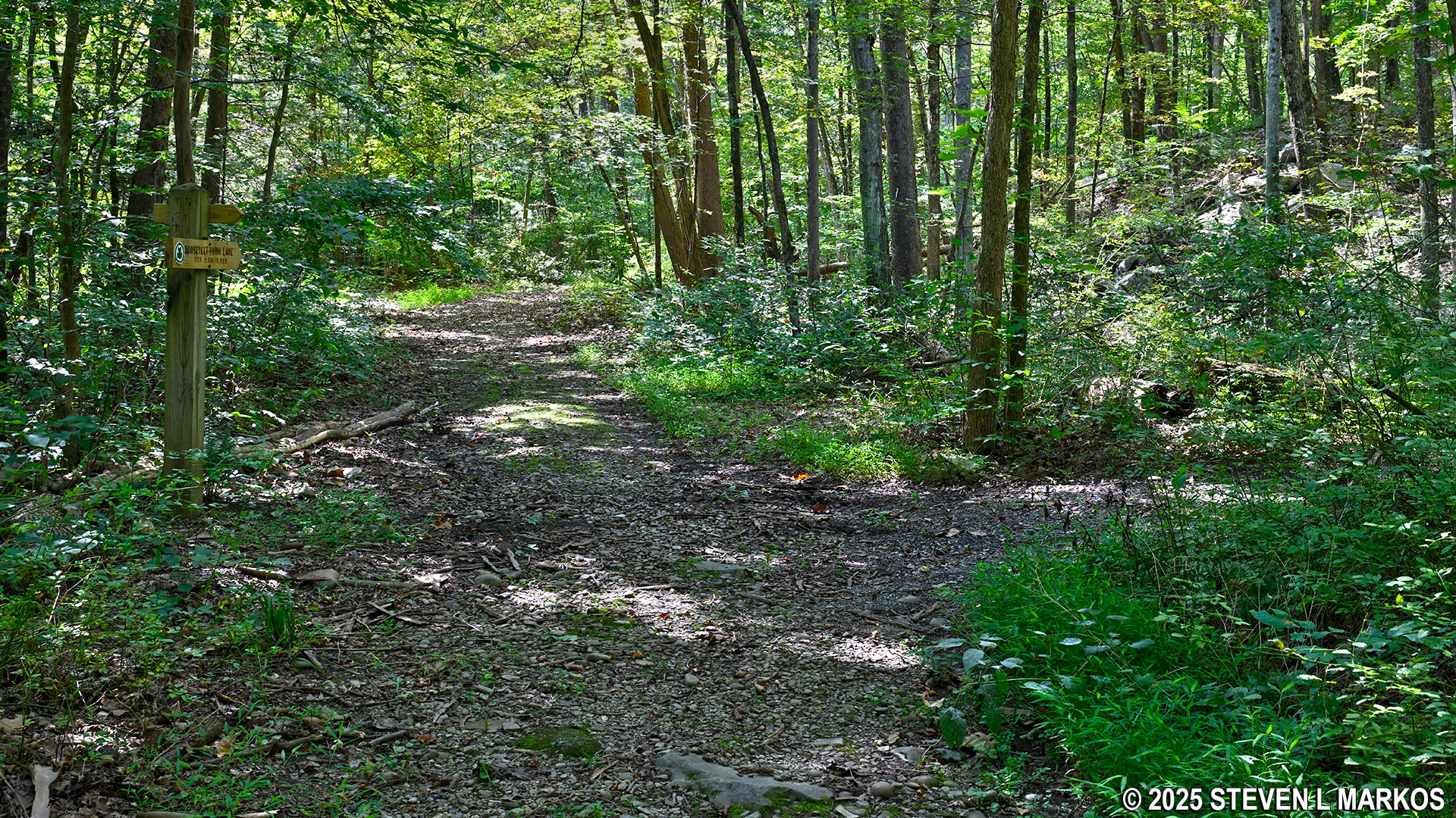
Western intersection of the Bracken Pond Trail and Roosevelt Farm Lane, Home of Franklin D. Roosevelt National Historic Site
With a few exceptions, use of any photograph on the National Park Planner website requires a paid Royalty Free Editorial Use License or Commercial Use License. See the Photo Usage page for details.
Last updated on April 4, 2025


