
Roosevelt Farm Lane at Home of Franklin D. Roosevelt National Historic Site
Length: 1.8 mile, one way
Time: 1 hour
Difficulty: Mostly easy with a couple of moderate hills
The Roosevelt Farm Lane is an old road (partially paved, partially gravel) that runs between Franklin Roosevelt’s Springwood estate at Home of Franklin D. Roosevelt National Historic Site and Eleanor Roosevelt’s Val-Kill cottage, now part of Eleanor Roosevelt National Historic Site. It is open to both hikers and bikers. Visitors are welcome to drive to either park, but for those who want exercise, the 1.8-mile Farm Lane is a great alternative to driving. Keep in mind that the distance is one way, and you must walk even farther on the park roads from the trailhead parking lots to get to Val-Kill or Springwood. If you don’t have a ride waiting for you at one end, there are some traditional hiking trails that you can take on the return trip. There is nothing particularly interesting about them, and they do add about a half mile to the hike, but at least you won’t have to see the entire Roosevelt Farm Lane twice. (Note: Only the Farm Lane is open to bikes.)

Roosevelt Farm Lane Trail Map (click to enlarge)
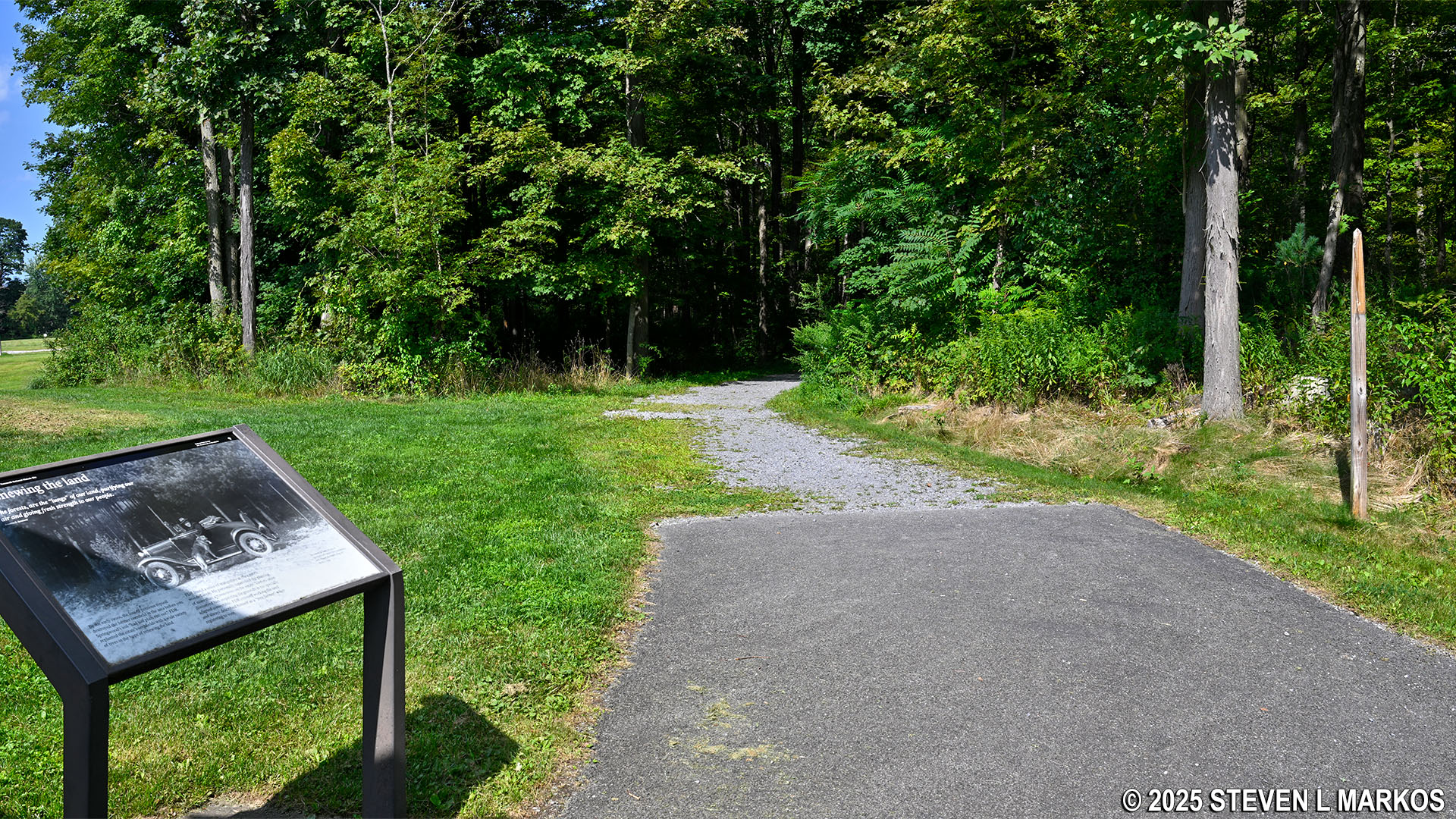
The official western trailhead for the Roosevelt Farm Lane is at a parking lot on Albany Post Road / Highway 9 across from the entrance to Home of Franklin D. Roosevelt National Historic Site. The official eastern trailhead is at Violet Avenue / Highway 9G across from the entrance to Eleanor Roosevelt National Historic Site (there is a parking lot up the street just a stone’s throw away). The walk from Albany Post Road to the FDR Home Visitor Center is .3 mile, and the walk from Violet Avenue to Val-Kill is roughly .4 mile. I started my hike from the Albany Post Road parking lot early in the morning so that when I got to Val-Kill I’d have time to explore, and this report is written from that perspective.
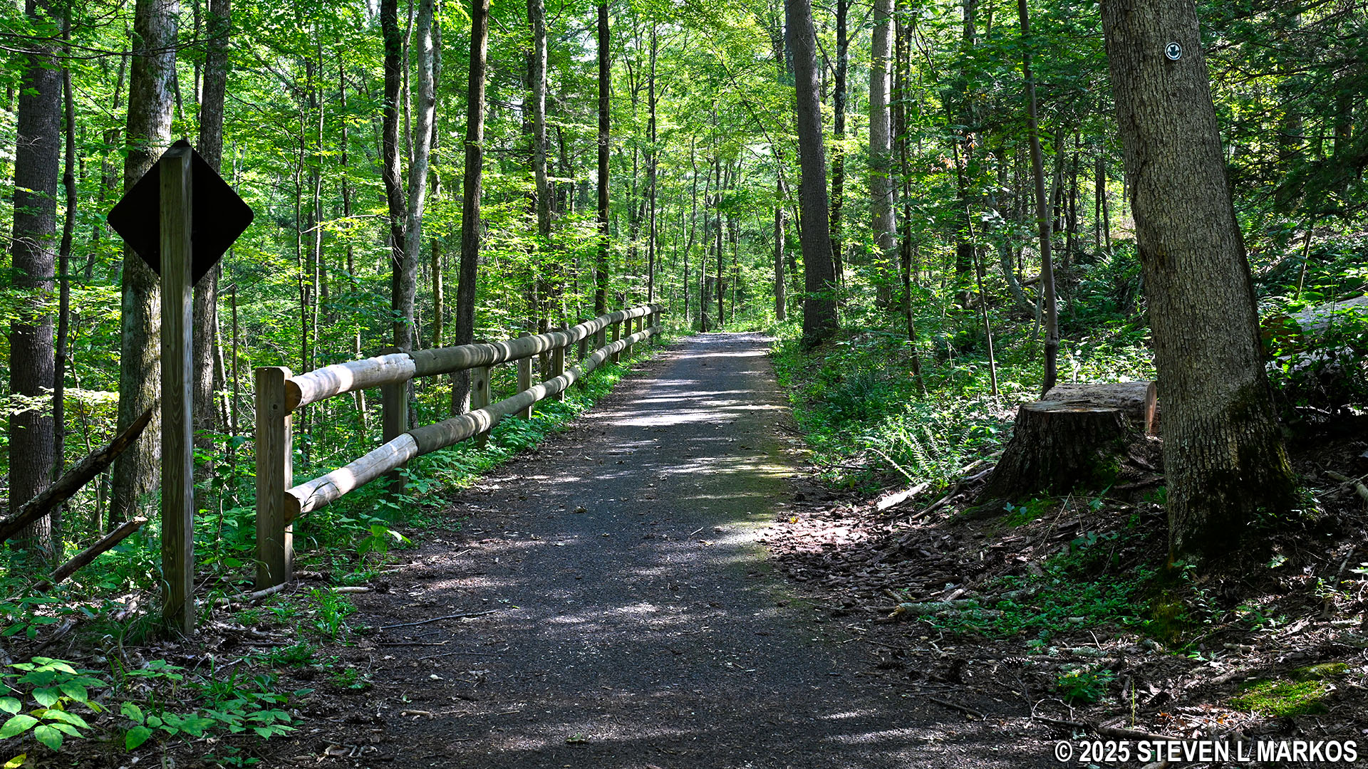
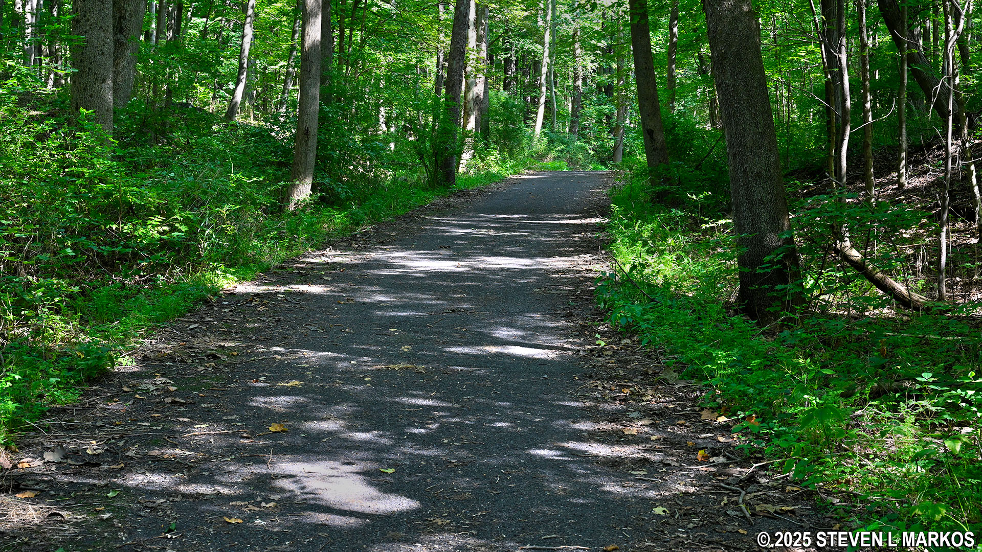
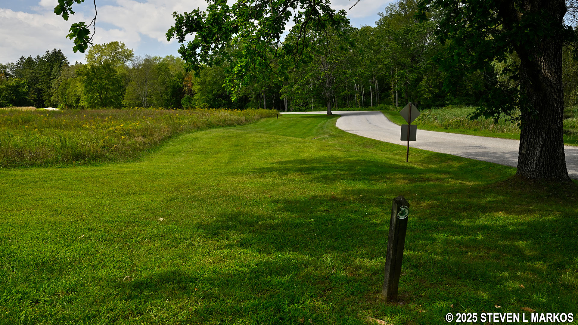
Start of the Roosevelt Farm Lane at the Albany Post Road parking lot near the entrance to Home of Franklin D. Roosevelt National Historic Site
All of the land you will be walking on was purchased by the Roosevelt Family over the years, some by Franklin’s father, James, and some by Franklin himself. The purpose of the road even back in Roosevelt’s day was to connect Springwood to Val-Kill.
As mentioned, the Roosevelt Farm Lane is a combination of paved and gravel road. Regardless of what surface you are on, the path is always smooth—no rocks or roots to trip you up. There are a few narrow gravel sections, but most of the road is wide enough for a single automobile to drive on.
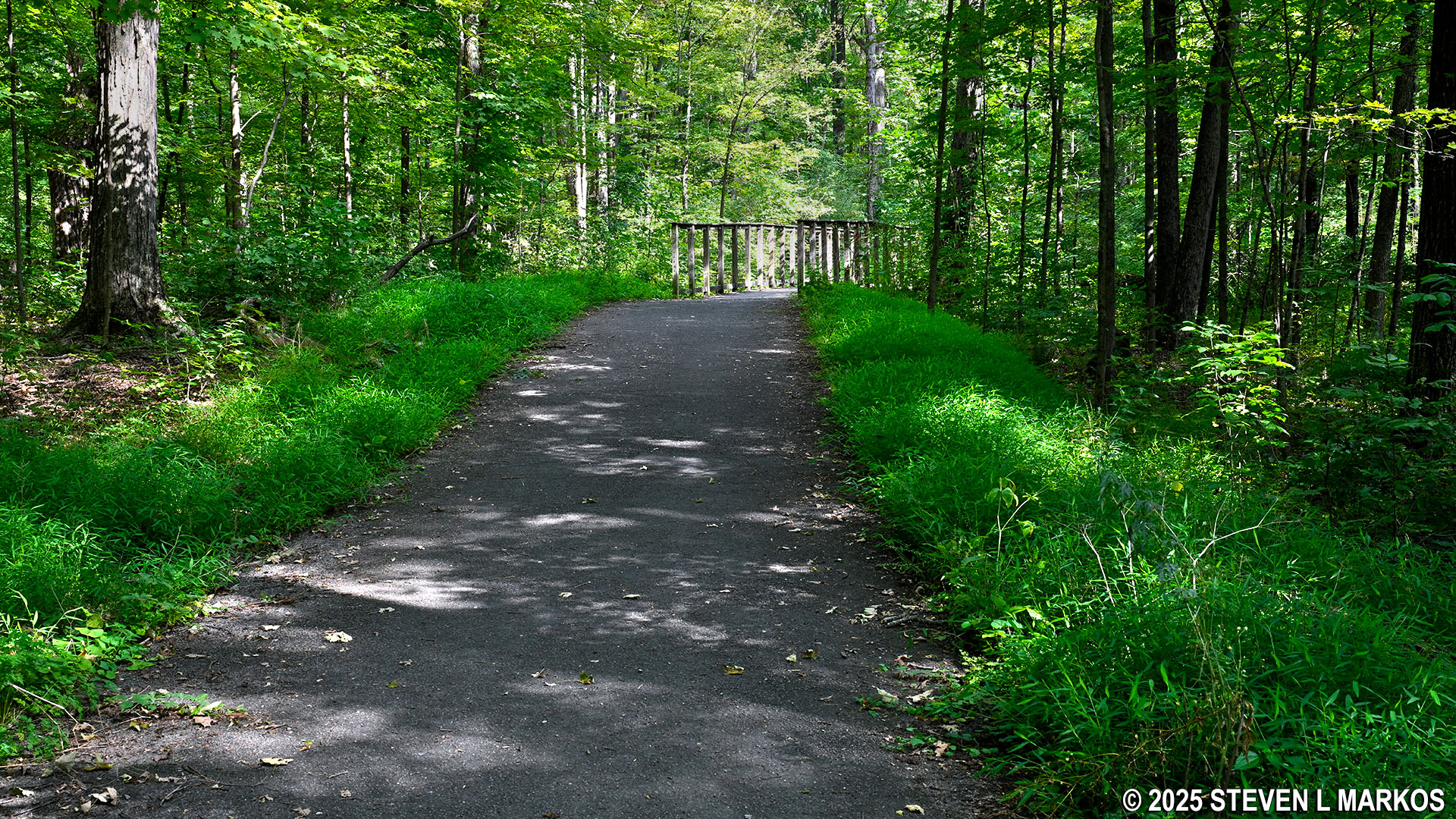
Paved segment of the Roosevelt Farm Lane at Home of Franklin D. Roosevelt National Historic Site
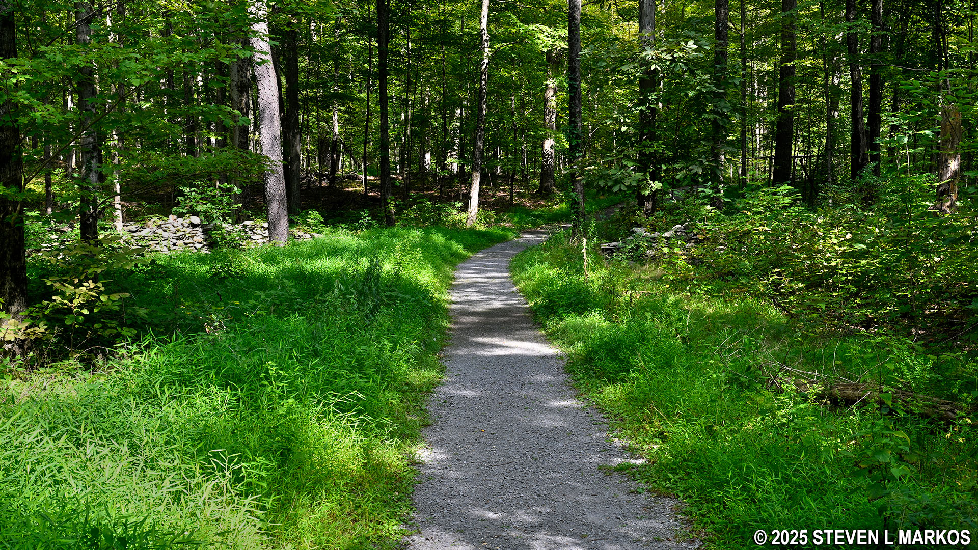
Gravel road segment of the Roosevelt Farm Lane at Home of Franklin D. Roosevelt National Historic Site
Roosevelt Farm Lane does cover somewhat hilly terrain, but most of the hills are hardly of note. The steepest are somewhere between easy and moderate in difficulty and might carry on for a hundred yards or so. The trail is going to be a little tougher on bike than on foot, for a biker’s thighs will get more of a workout on the long, gradual uphill segments than will those of a hiker.
Typical hilly terrain of the Roosevelt Farm Lane at Home of Franklin D. Roosevelt National Historic Site
There is a hill not far from the start, and at the top—if you are coming from Val-Kill—is a sign warning bikers that the hill is steep. That’s a joke. I’ve been on many similar trails where signs do indeed warn bikers of very steep descents, but this isn’t one of them. Maybe if you are a parent with little kids riding their bikes, the warning may be worth paying attention too, but for an adult biker, the hill barely qualifies as a fast and fun downhill run.
At .2 mile into the hike is an intersection on the right with a trail that leads back to Albany Post Road. I’m not exactly sure what this is for, but there may have been another trail parking lot at one time, and this might have been a connector to the Roosevelt Farm Lane.
The intersection with the first side trail, the Bracken Pond Trail, comes .3 mile from the start. The National Park Service trail map claims the distance is .4 mile, but notice that it is counting from Albany Post Road, not from the start of the trail at the parking lot (which is a tenth of a mile from the road). If you make the detour, you will be skipping .3 mile of the Roosevelt Farm Lane while hiking .7 mile on the Bracken Pond Trail, thus adding .4 mile to the hike.
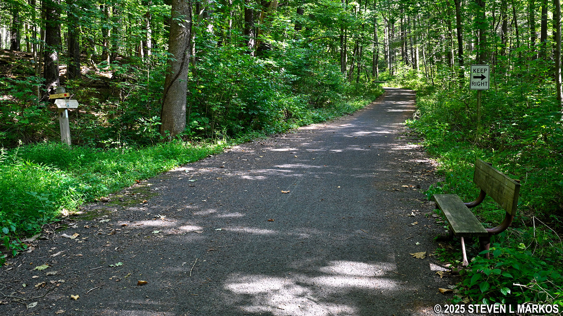
Intersection of the Roosevelt Farm Lane and the Bracken Pond Trail, Home of Franklin D. Roosevelt National Historic Site
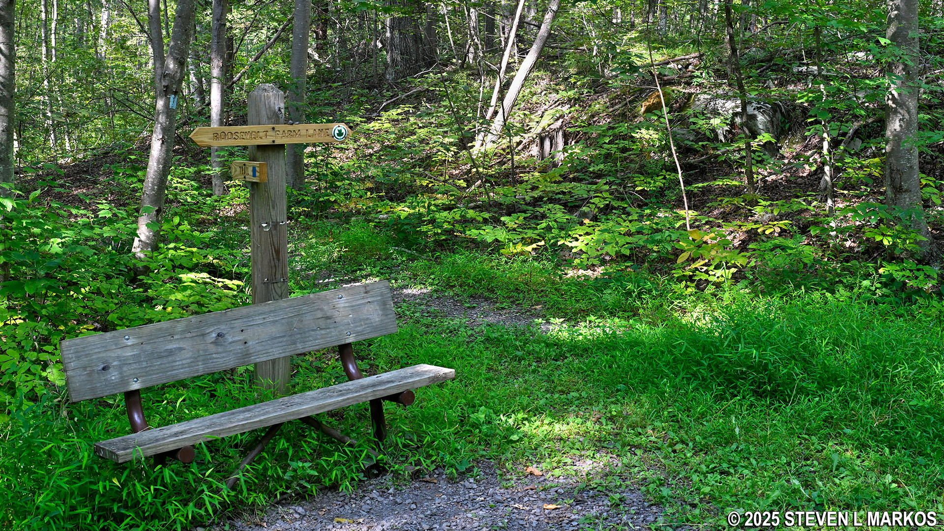
The intersection with the Newbold Trail comes .6 mile from the start. If you take the Newbold Trail, which is .7 mile long, you will skip .9 mile of the Roosevelt Farm Road, thus actually shaving off two tenths of a mile.
The next point of interest is the crossing of Maritje Kill, a small creek. This comes a mile from the start (.3 mile from the Newbold Trail intersection).
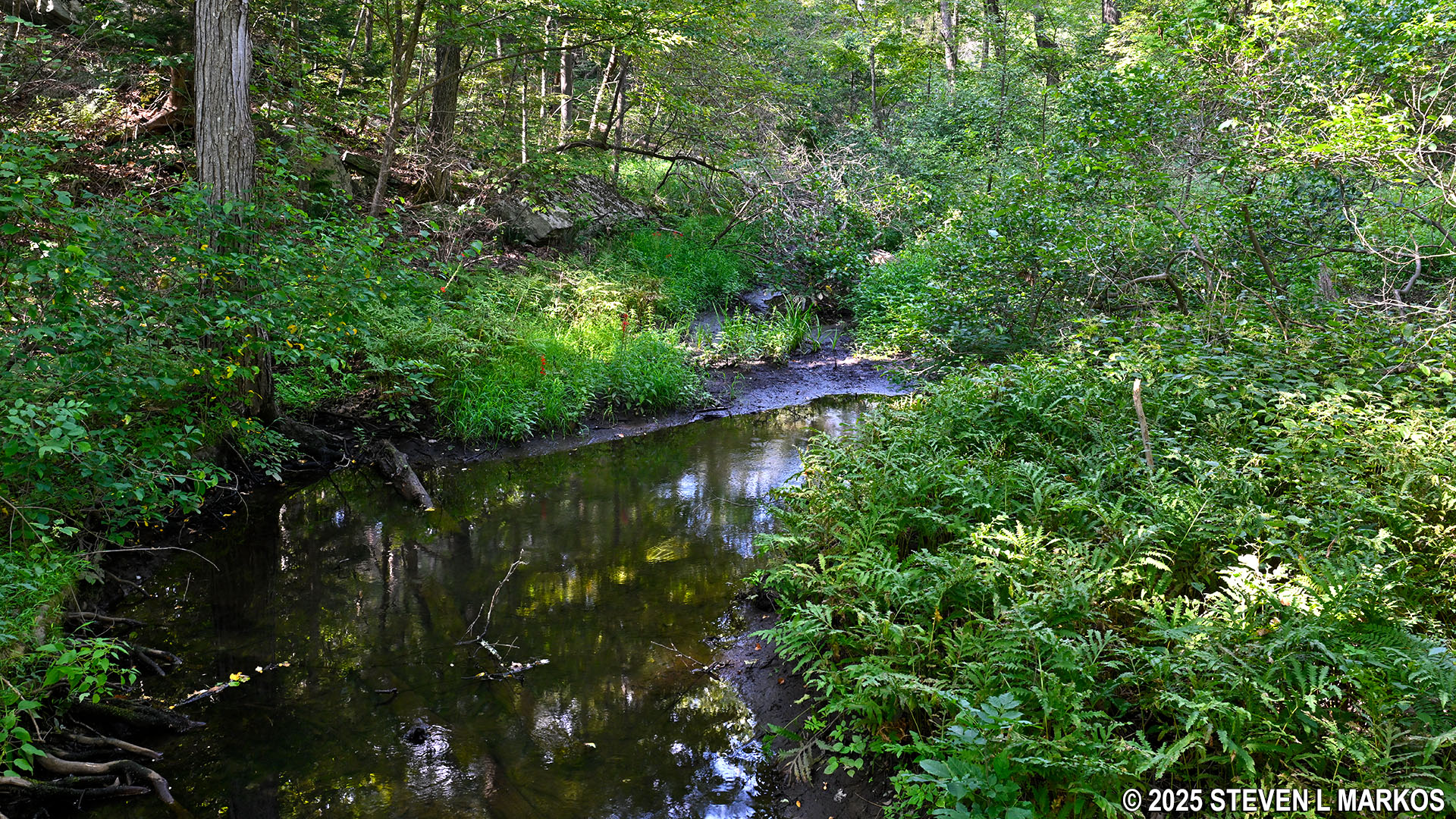
View of Marijte Kill from the Roosevelt Farm Lane at Home of Franklin D. Roosevelt National Historic Site
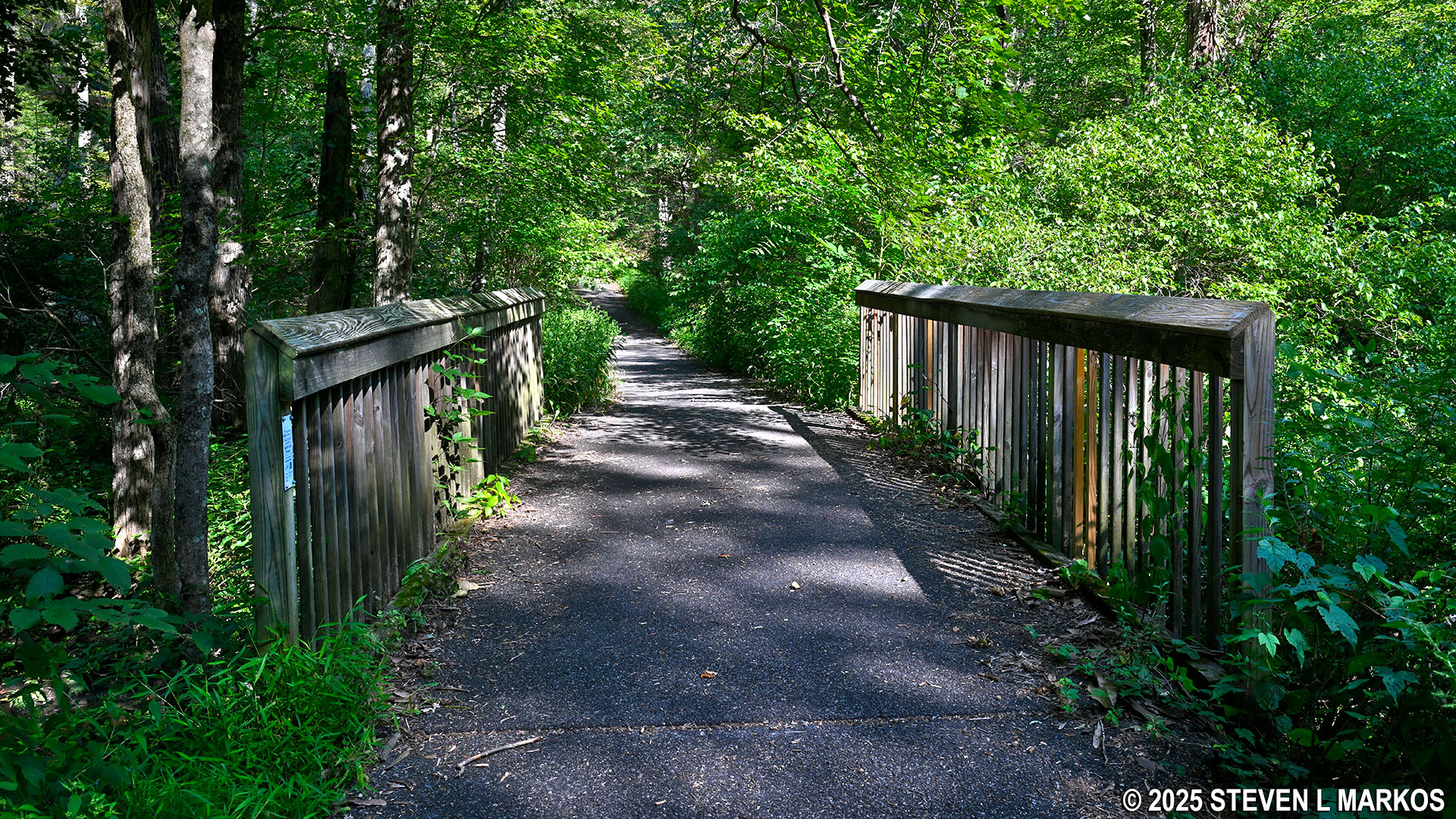
Bridge on the Roosevelt Farm Lane that spans Marijte Kill, Home of Franklin D. Roosevelt National Historic Site
The steepest and longest hill on the Roosevelt Farm Lane comes a tenth of a mile past Maritje Kill. At the top is another sign warning bikers coming the other way of a steep descent. The hill is a little over 400 feet long, and the grade is about 10%. For reference, 5% is wheelchair accessible and 15% is where strenuous hiking begins.
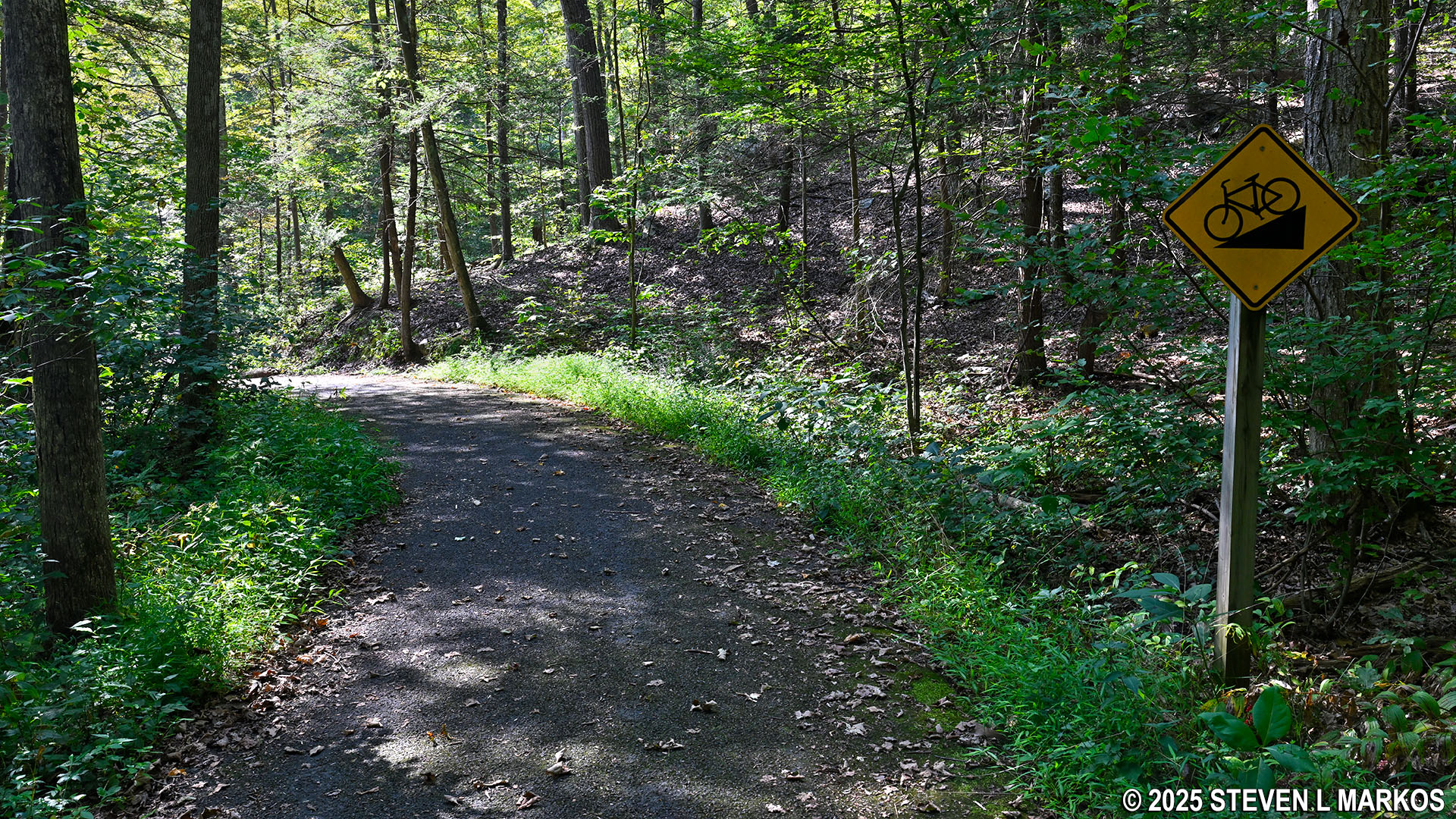
Sign warns bikers of a steep hill on the Roosevelt Farm Lane at Home of Franklin D. Roosevelt National Historic Site
The eastern intersection with the Newbold Trail comes 1.5 mile into the hike, and within sight distance is the intersection with a third trail, the very short Bennett Trail.

Eastern intersection of the Roosevelt Farm Lane and the Newbold Trail, Home of Franklin D. Roosevelt National Historic Site
Intersection of the Roosevelt Farm Lane and the Bennett Trail, Home of Franklin D. Roosevelt National Historic Site
The Roosevelt Farm Lane ends .3 mile past the Bennett Trail intersection at Violet Avenue. Just before reaching the road is a trail that leads to the roadside parking lot. Follow the PARKING directional sign only if you parked there, otherwise just keep walking until you come to Violet Avenue. The trail passes an old building of some sort just before the turn for the parking lot.
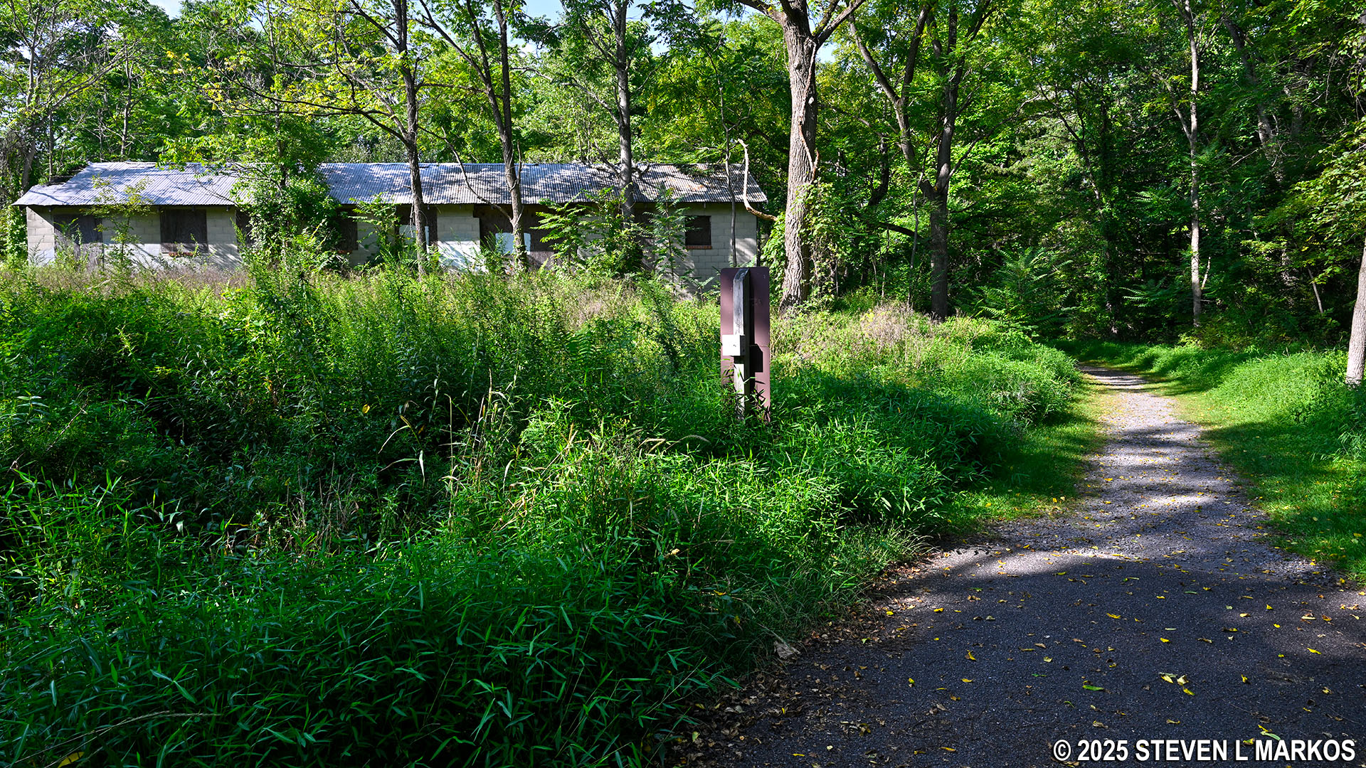
Old building on the Roosevelt Farm Lane just before Violet Avenue, Home of Franklin D. Roosevelt National Historic Site
Cross Violet Avenue to enter Eleanor Roosevelt National Historic Site. From here it is a .4-mile walk to Val-Kill. The walk follows the park road, but you can walk in the grass next to it if you don’t want to be on the pavement. Total distance from Albany Post Road to the cottage is roughly 2.2 miles (one way).
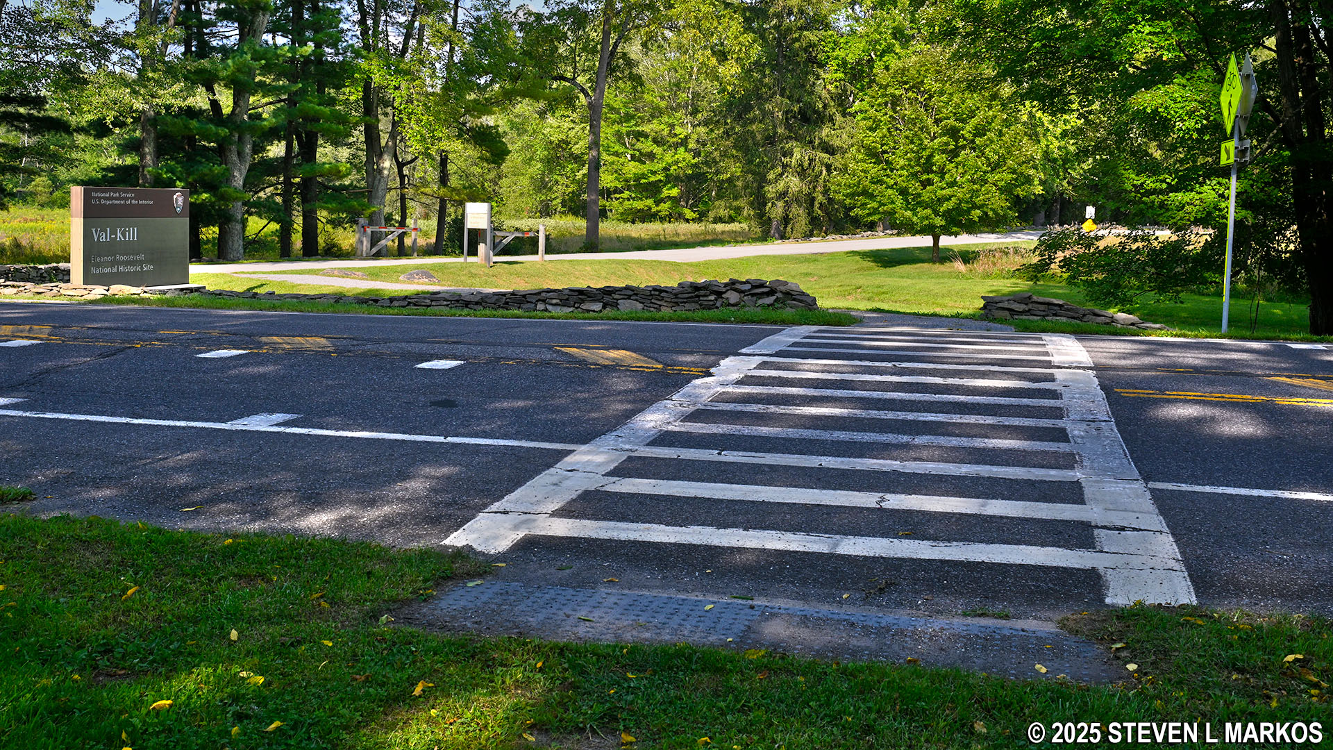
Eastern end of the Roosevelt Farm Lane across from the entrance to Eleanor Roosevelt National Historic Site
When the Roosevelt Farm Lane ends at Highway 9G, follow the park road to reach Val-Kill at Eleanor Roosevelt National Historic Site
With a few exceptions, use of any photograph on the National Park Planner website requires a paid Royalty Free Editorial Use License or Commercial Use License. See the Photo Usage page for details.
Last updated on April 4, 2025


