
The Circle Trail at Pipestone National Monument
Length: .75-mile loop
Time: 30 minutes
Difficulty: Easy
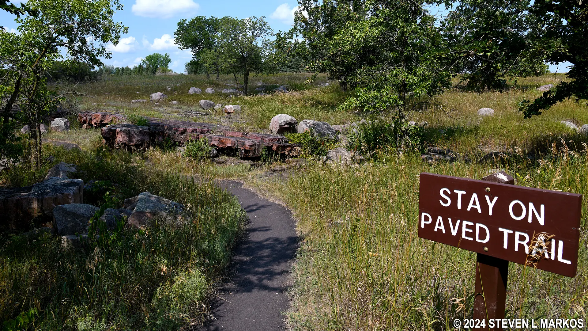
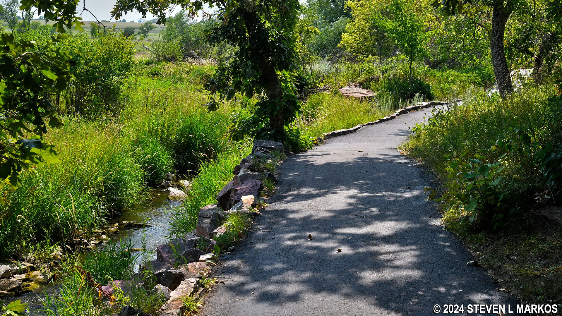
The Circle Trail at Pipestone National Monument takes visitors through the tallgrass prairie and past a pipestone quarry, a waterfall, and a rock on which the first Americans to map the area chiseled their names in 1838. The trail begins on the right side of the Visitor Center and ends at the back of the building, forming what is essentially a loop. It is paved, and most of it is accessible to those in wheelchairs, though it is not officially ADA compliant. There are optional side trips that utilize stairs, and of course these segments are not wheelchair accessible.
Start of the Circle Trail at Pipestone National Monument
The trail is open year-round. During the summer, the sun will be beating down on the black asphalt. It was 85 degrees when I visited, but on the trail it felt like 100. Wear a hat and apply sunscreen if avoiding the sun is important to you. During the winter, visitors can use snowshoes to walk the trail. Those without snowshoes can borrow some free of charge at the Visitor Center.
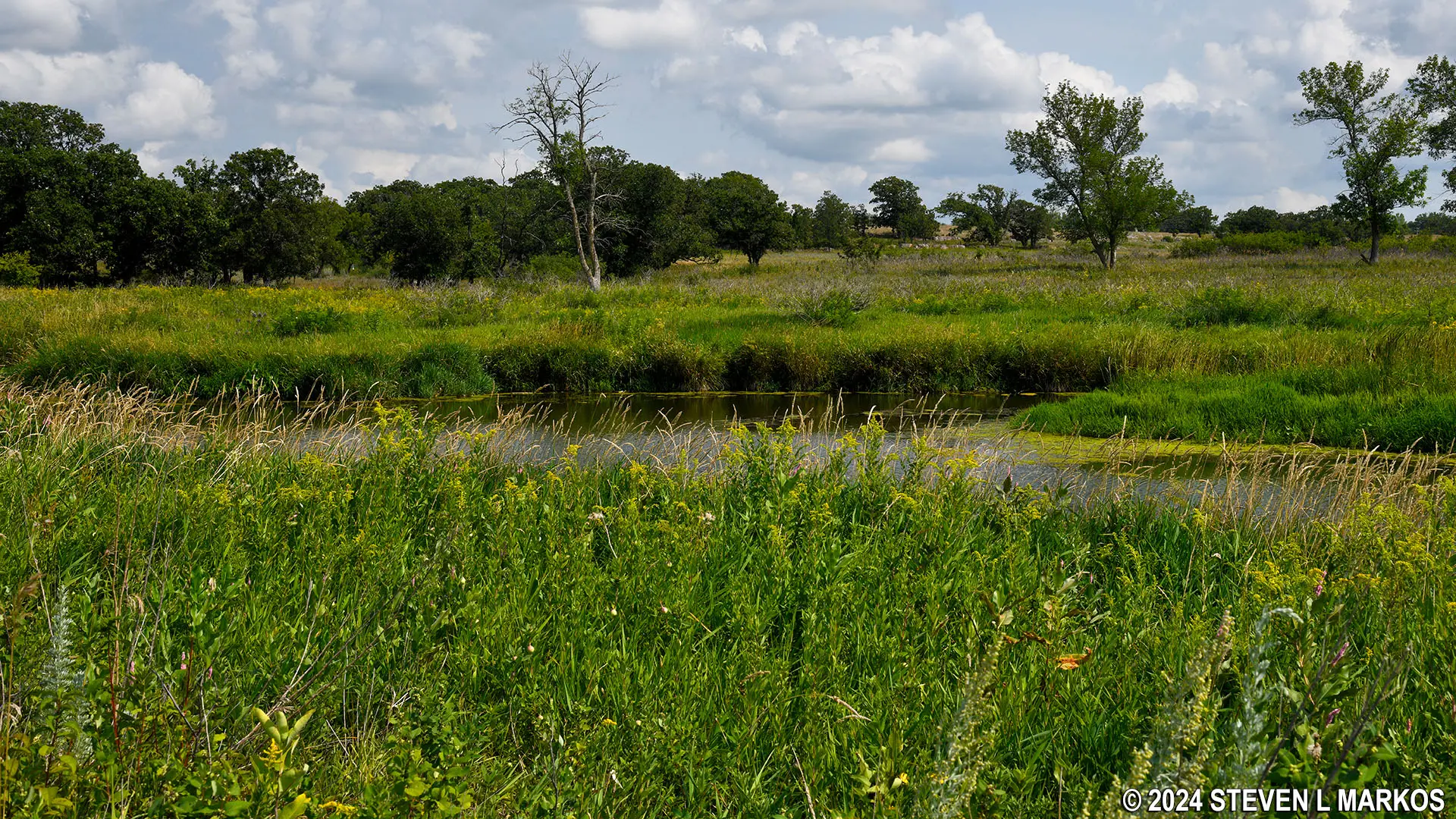
The Circle Trail starts off through the prairie. Like a typical nature trail, there are wayside exhibits along the path that point out the different types of plants in the area.
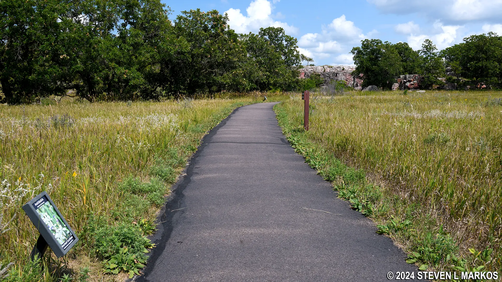
First part of the Circle Trail at Pipestone National Monument passes through the tallgrass prairie
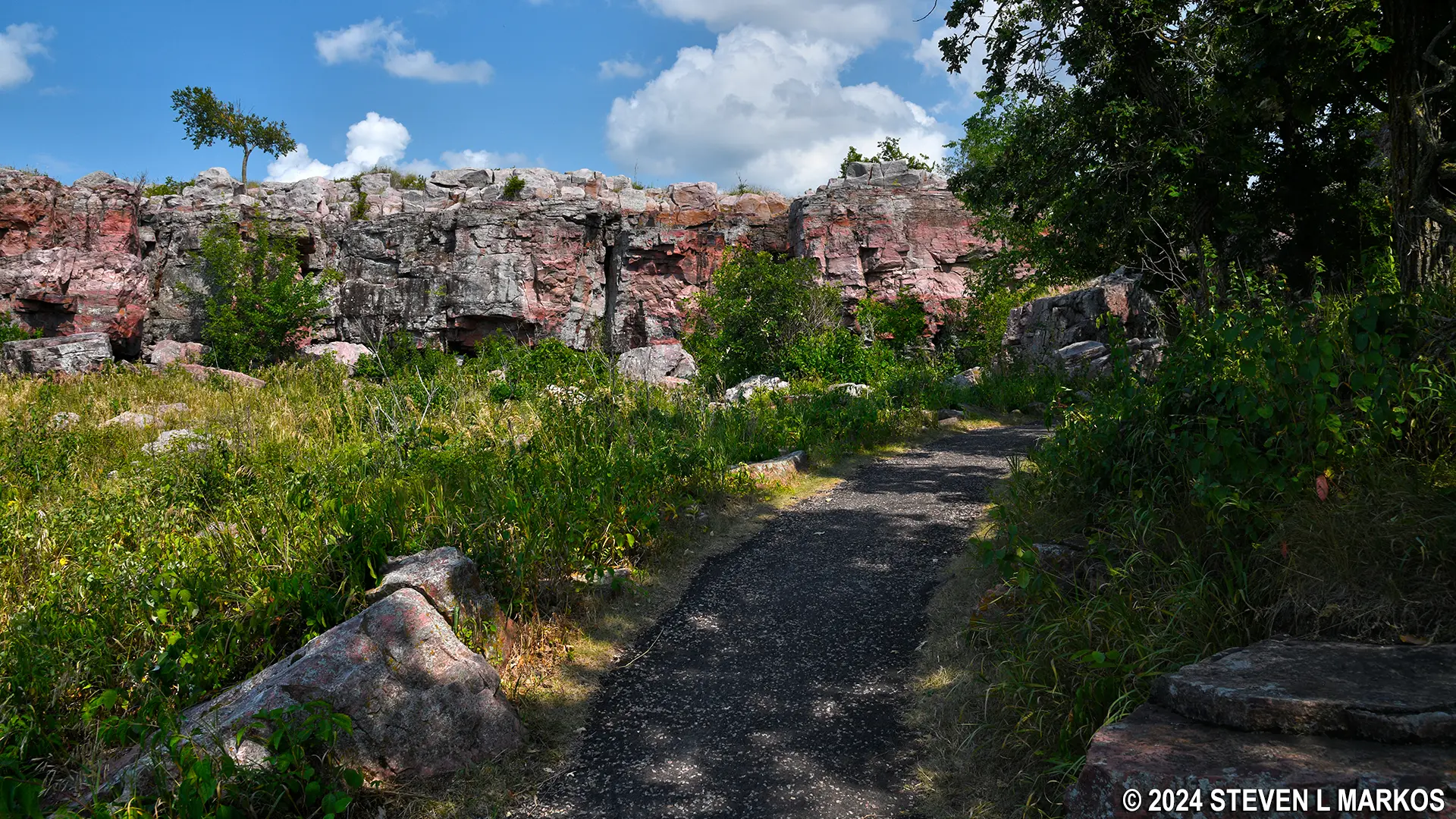
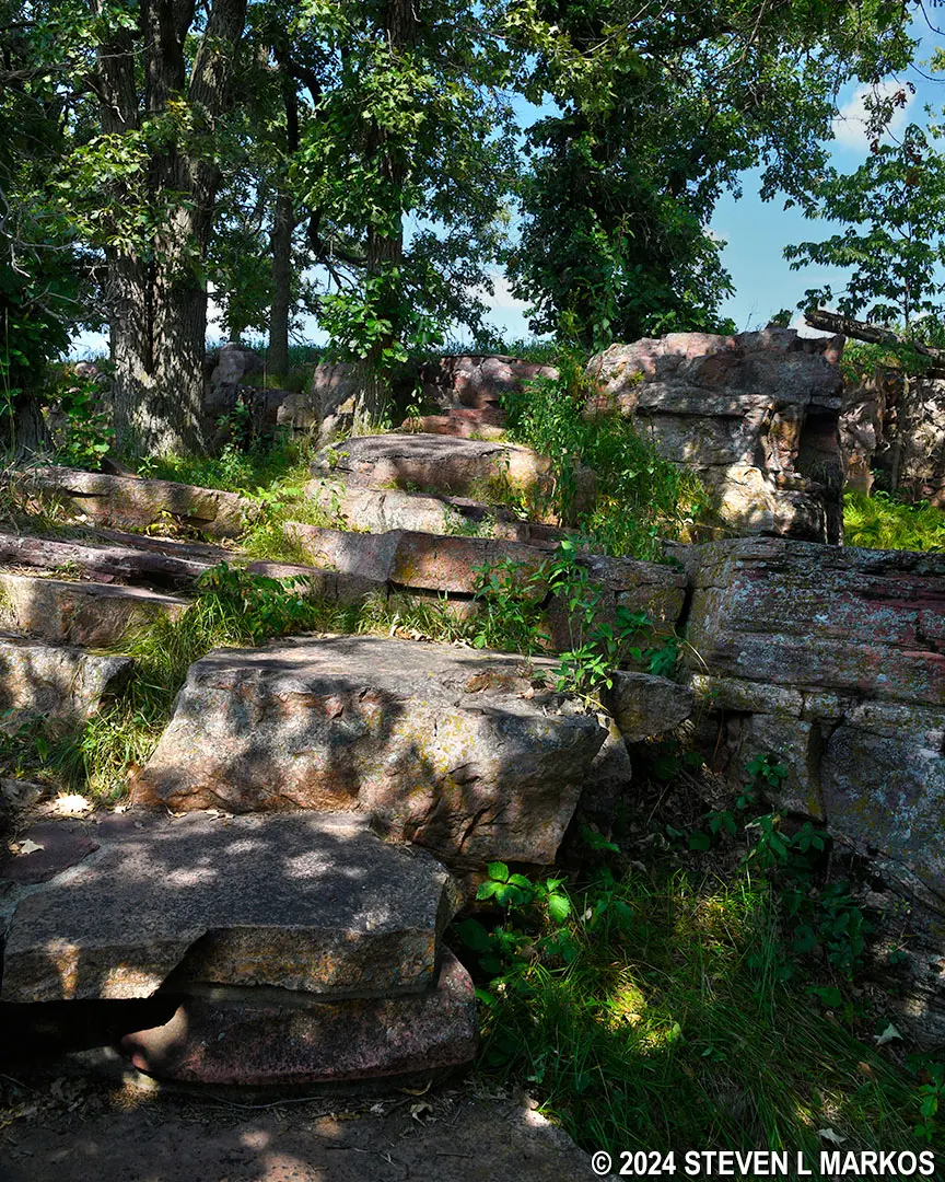
After a quarter mile, the Circle Trail approaches a rock wall. Though the rocks are shades of red, this is not pipestone. This is exposed quartzite, which is known in this area as Sioux Quartzite. The pipestone is about 100 feet below the surface at this point. When the trail reaches the wall, it turns left and begins running parallel to it.
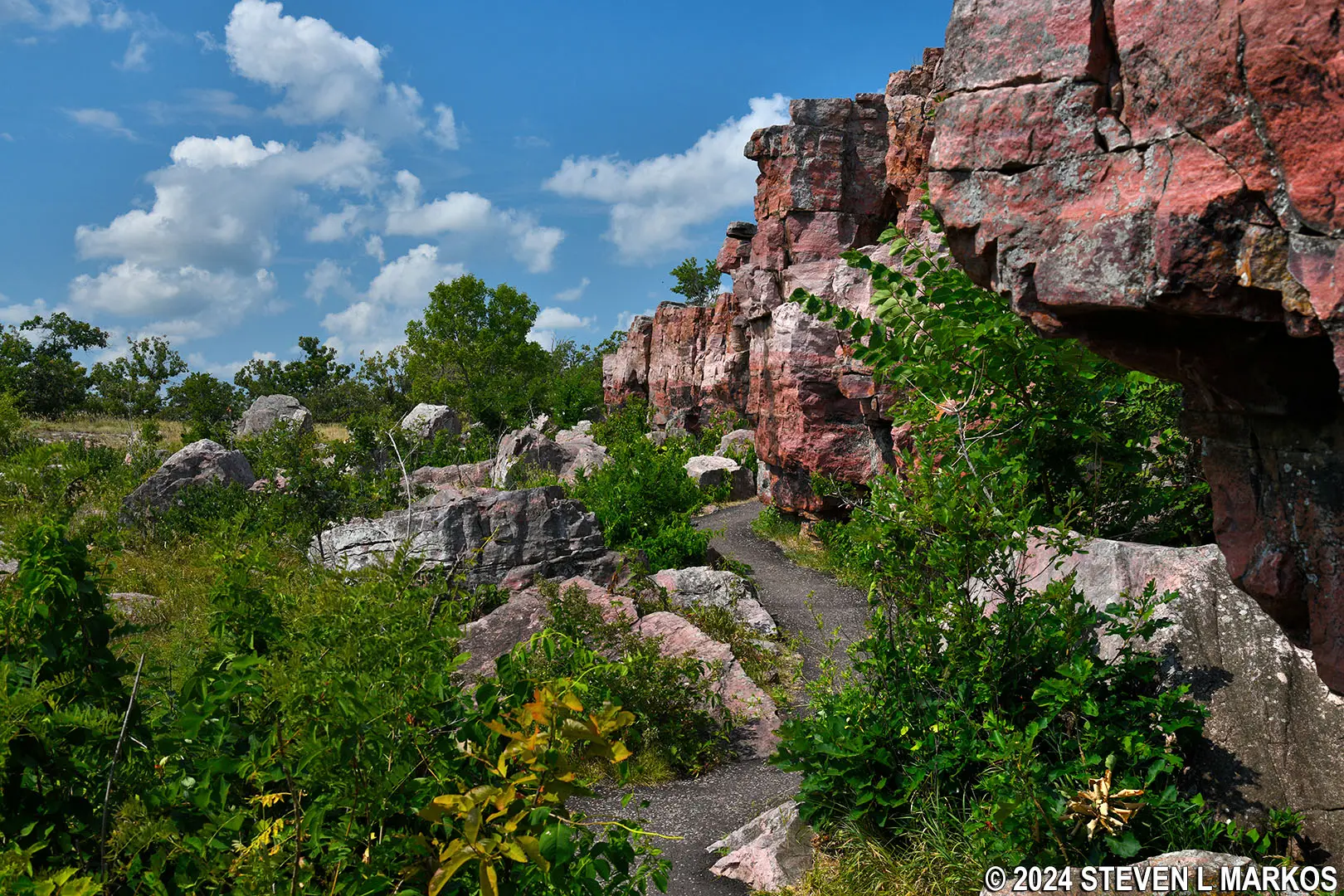
The Circle Trail follows along a cliff of Sioux quartzite, Pipestone National Monument
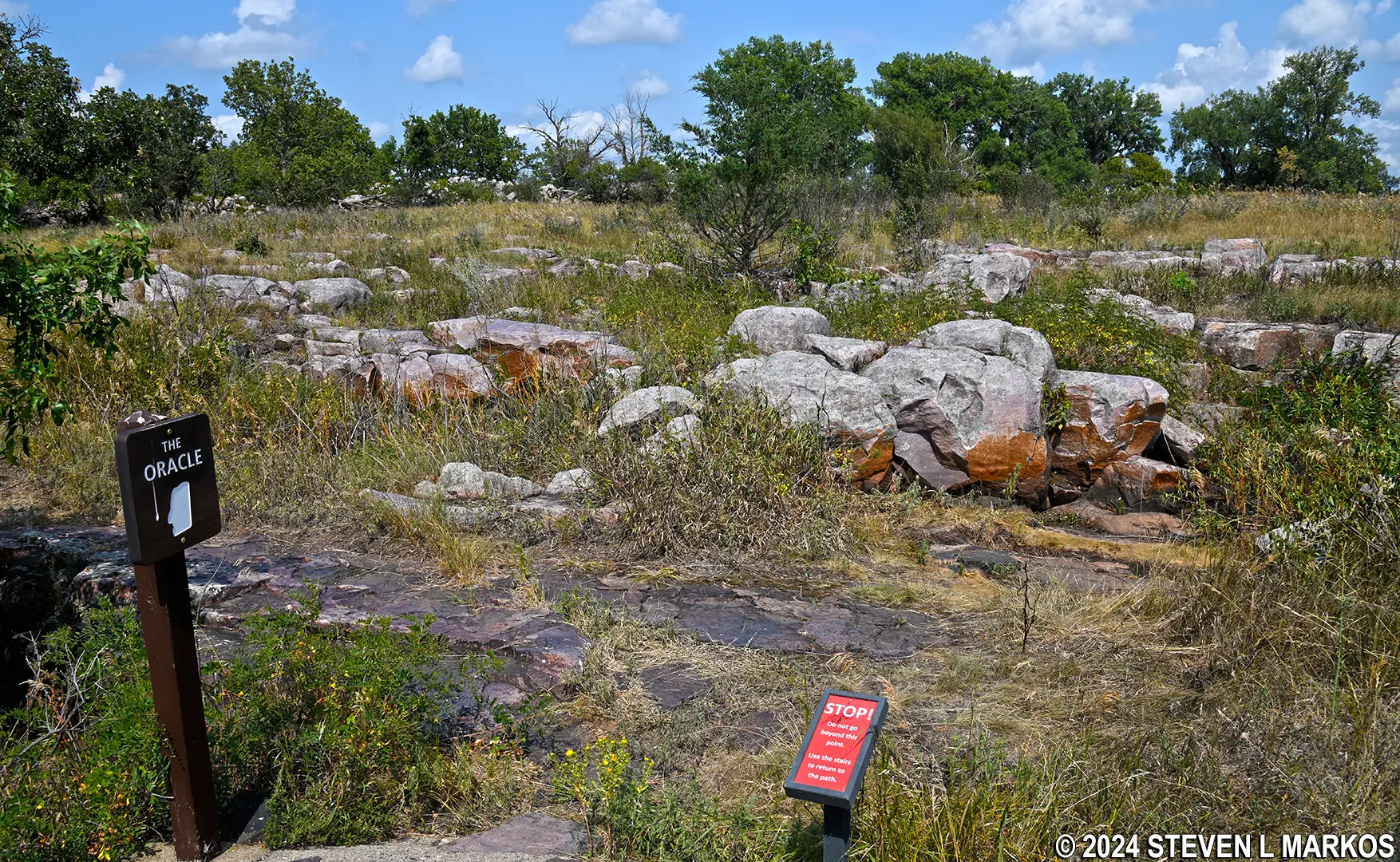
The next point of interest is The Oracle, a large slab of quartzite that resembles a face. The best view of it is obtained by climbing some steps to the top of the cliff. However, all I saw was a large field of boulders and a nice view of the trail below. When done, return back down the stairs to the trail. You cannot walk around on top of the quartzite wall.
Boulder field at the top of the Sioux Quartzite Cliff at Pipestone National Monument

View of the Circle Trail from the top of the Sioux Quartzite Cliff at Pipestone National Monument
At the time, I had no idea what The Oracle was and thus did not know what to look for. It wasn’t until writing this article that I learned that it was a slab of rock that looks like a face. You can actually see it from the trail below, but it is supposedly easier to make out from above. Some Indians claim it is sacred. Others claim a park Ranger in the 1940s made up its mythology to entertain tourists.
The Oracle, Pipestone National Monument
About a tenth of a mile farther, the Circle Trail crosses Pipestone Creek where there is a nice view of Winnewissa Falls. The creek is now polluted, and the water is unfit for drinking and swimming. The pollution source is farm animal waste and agricultural pesticides.
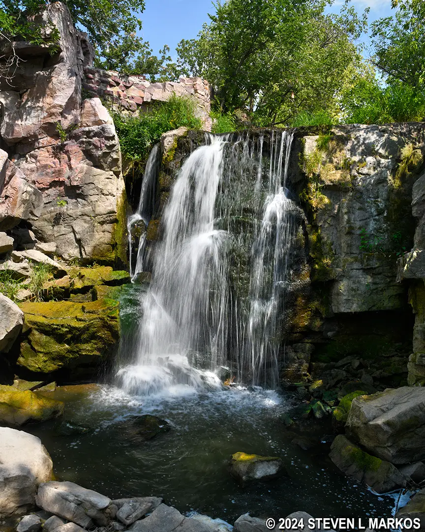
Winnewissa Falls at Pipestone National Monument
Just beyond the falls is a side trip up some more stairs, and at the top is a paved path that leads to what is now called the Nicollet Marker.
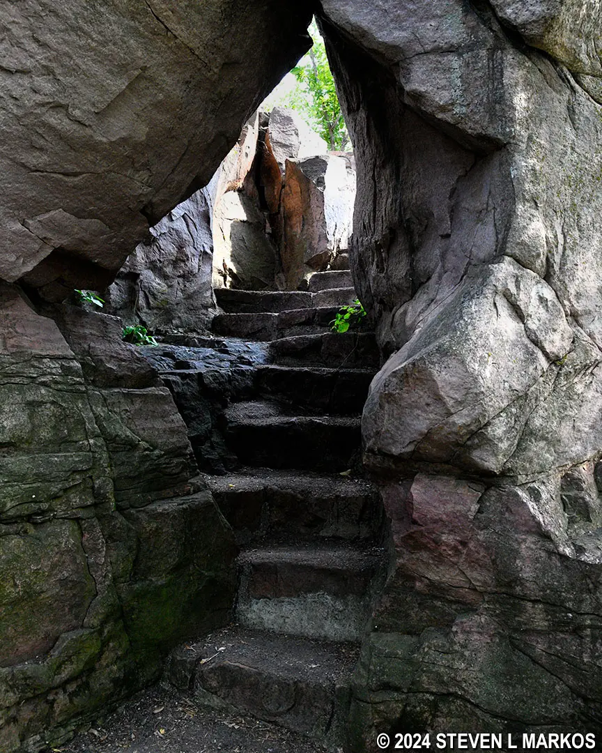
Stairs to the Nicollet Marker at Pipestone National Monument
Paved path to the Nicollet Marker at Pipestone National Monument
In 1883, Joseph Nicollet was hired by the federal government to map the land between the Missouri and Mississippi rivers. One of his stops was at Pipestone, and while there, he and his team etched their initials into a rock—the Nicollet Marker.
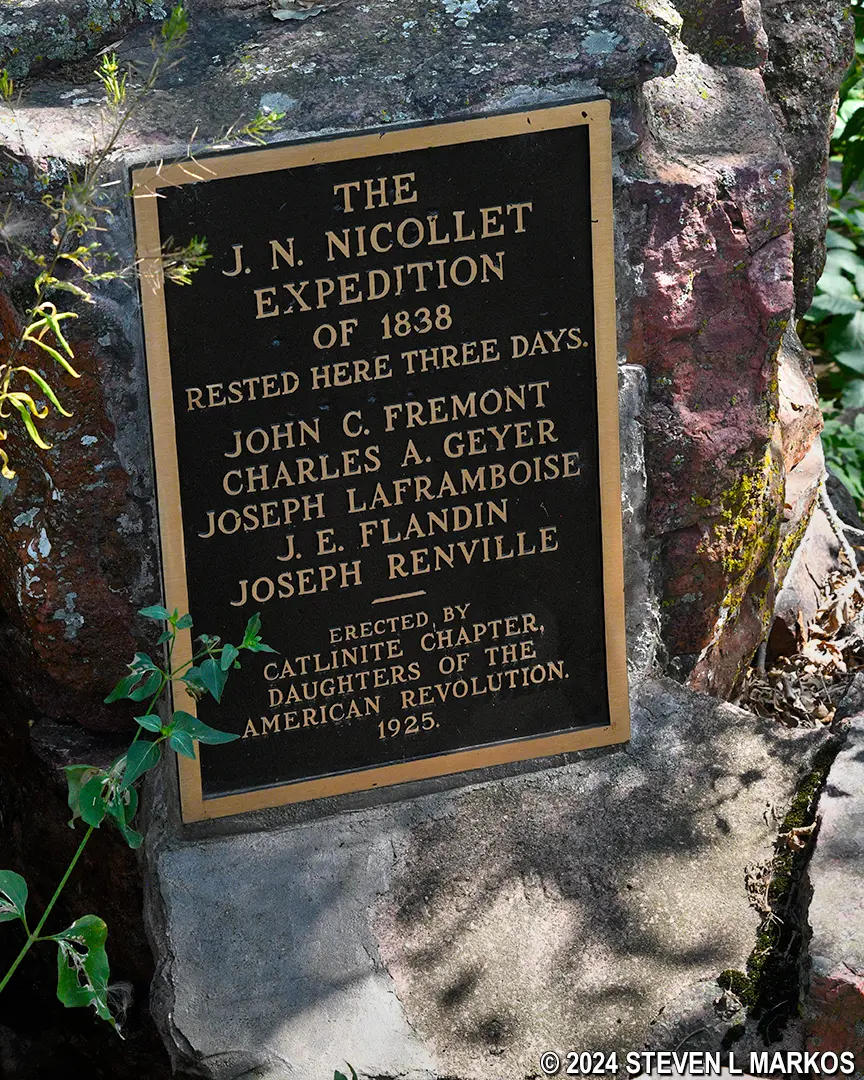
Memorial plaque placed on the Nicollet Marker in 1925, Pipestone National Monument
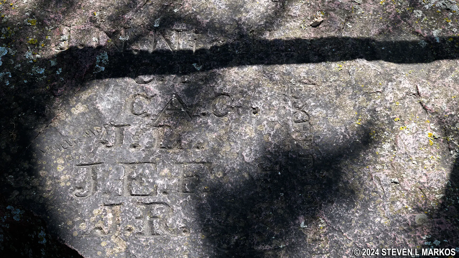
Text etched into the rock now known as the Nicollet Marker, Pipestone National Park
The path to the Nicollet Marker continues past the stone and connects back to the Circle Trail, so you don’t have to retrace your steps. You do have to walk down slabs of rock, so if the stairs you took to the top are more to your liking, go back the way you came up.
Stone slab steps lead down from the Nicollet Marker to the Circle Trail at Pipestone National Monument
Once back on the trail, you will be walking along Pipestone Creek. There is also a view of Lake Hiawatha, which is really more of a pond than a lake. This is a manmade body of water created in the 1930s by damming the creek for the purpose of providing a swimming area for the students at the nearby Pipestone Indian Boarding School. These now infamous schools were established to assimilate Indian children into White American culture. The Pipestone school opened in 1894 and remained operational until 1953.
The dam was built by the Indian Division of the Civilian Conservation Corps (CCC). The CCC was an organization conceived by the Franklin Roosevelt administration to help young, unmarried men get back to work in the wake of the Great Depression (1929-39). The Indian Division was made up of American Indian males living on reservations.
The northern side of the Circle Trail follows Pipestone Creek, Pipestone National Monument
Lake Hiawatha at Pipestone National Monument
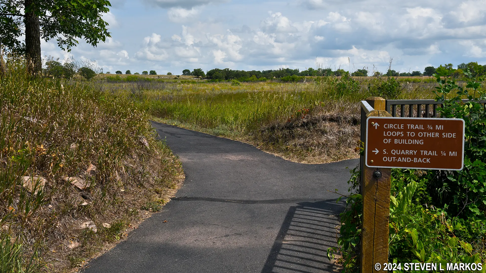
The last point of interest before concluding the walk at the Visitor Center is the Spotted Quarry. Pipestone in this area has white spots on it, thus the quarry name. It is a little hard to see down into the pit, so if you want better views of the quarries, walk the Quarry Trail. This is a paved, quarter-mile trail that passes most of the active quarries at Pipestone National Monument. It is just as easy as the Circle Trail. Both start at the same spot next to the Visitor Center.
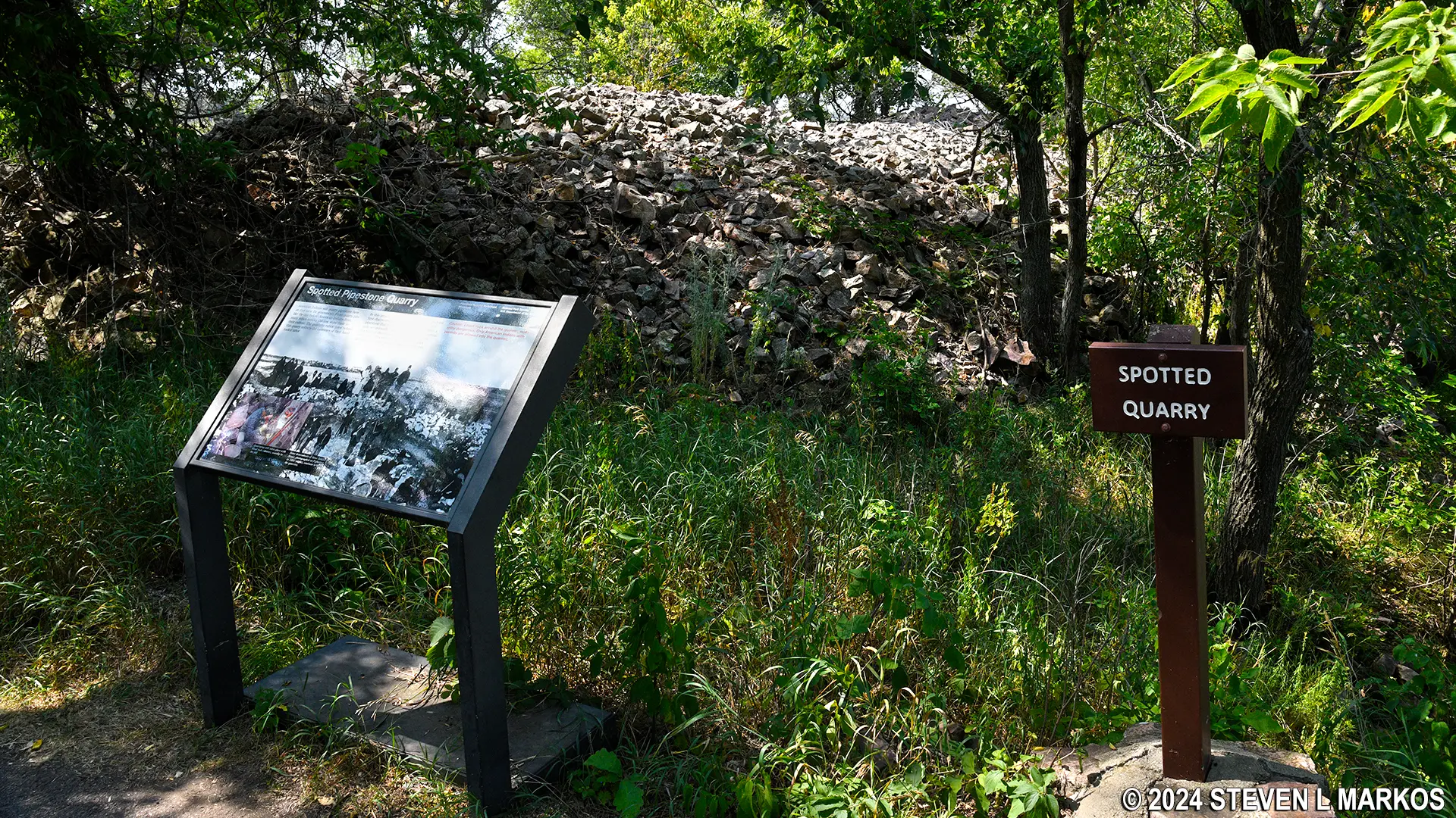
Spotted Quarry at Pipestone National Monument
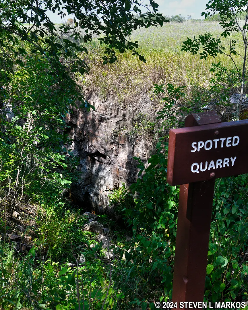
View into the Spotted Quarry at Pipestone National Monument
I highly recommend taking the time to walk both the Circle Trail and the Quarry Trail. They are a little brutal in the summer if the sun is shinning (I visited in early August), but the two trails combined aren’t much more than a mile. Besides, what’s the point of stopping at Pipestone National Monument if you don’t see the pipestone quarries?
With a few exceptions, use of any photograph on the National Park Planner website requires a paid Royalty Free Editorial Use License or Commercial Use License. See the Photo Usage page for details.
Last updated on November 14, 2024


