
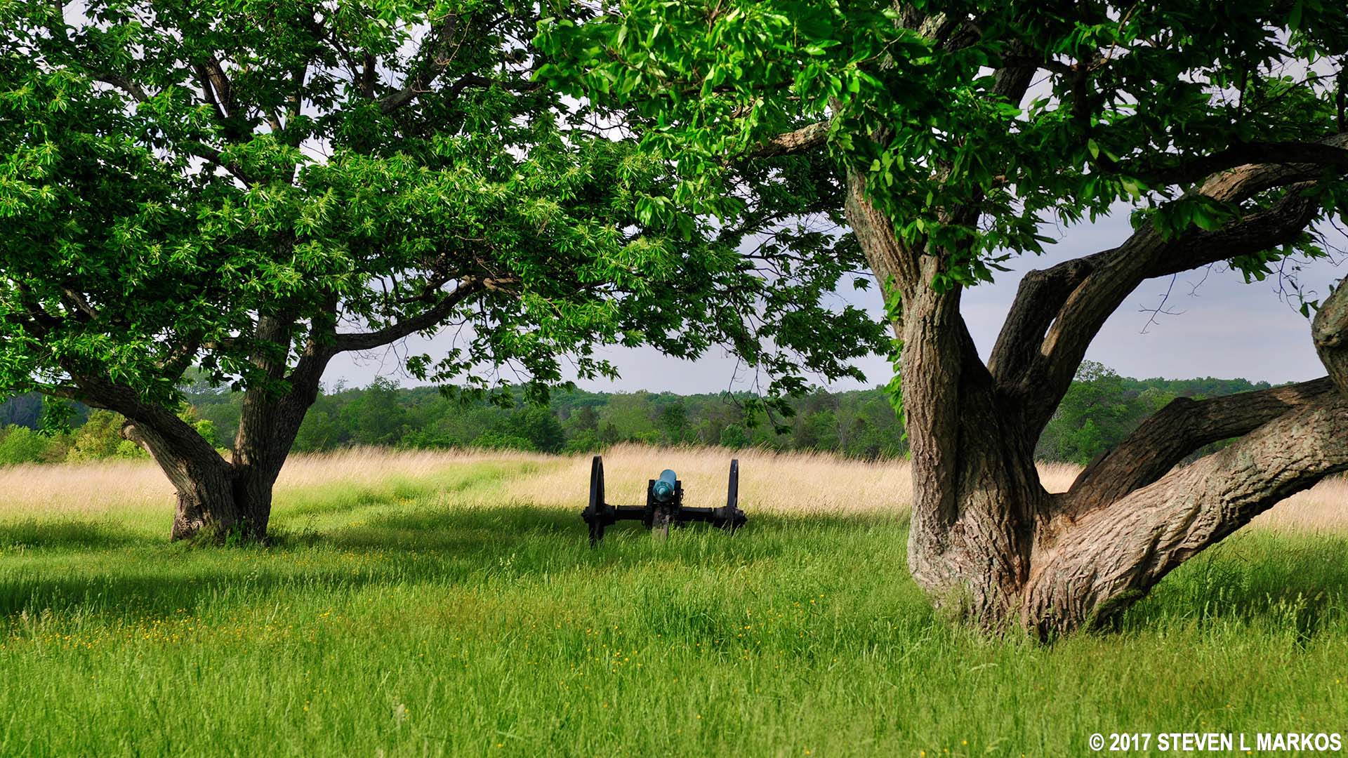
Cannon on display at the Battery Heights stop on the Second Manassas Battlefield Tour, Manassas National Battlefield Park
SECOND MANASSAS BATTLEFIELD TOUR
STOP 2: BATTERY HEIGHTS
Allow 5 minutes
See the Second Manassas Battlefield Tour web page for a tour map.
GETTING THERE
The Battery Heights parking lot is located directly on Highway 29. This stop is very easy to pass because there is no sign for it on the road. If you are coming from the first tour stop at Brawner Farm, Highway 29 will be four lanes wide with a median in the middle for a short while. As soon as the four lanes merge into two lanes with no median, be on the lookout for the driveway into Battery Heights on your left.
WHAT TO SEE
Two cannon mark the location of Confederate Captain William Chapman’s Dixie Artillery on the last day of fighting, August 30, 1862. Chapman would have been firing upon Union forces attacking Stonewall Jackson’s line at the Deep Cut of the Unfinished Railroad. This same position was held by the Union army on the first and second days of the battle. The cannon on display are actual Civil War-era cannon, but not necessarily ones that were used in the battle.
In addition to the cannon, two wayside exhibits give a brief description of the events that took place at Battery Heights.
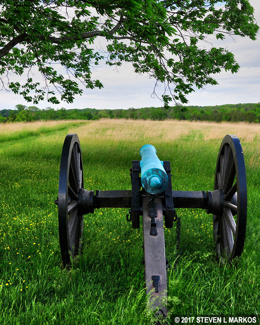
Confederate cannon at Battery Heights aims toward Union soldiers attacking at Deep Cut, Manassas National Battlefield Park
TRAILS
There is a connector trail—a mowed swathe through the tall grass—that leads to the far end of the Brawner Farm Loop Trail, but I can’t image there being any reason to hike it. If you want to hike the loop trail, go to Brawner Farm and hike it from the beginning.
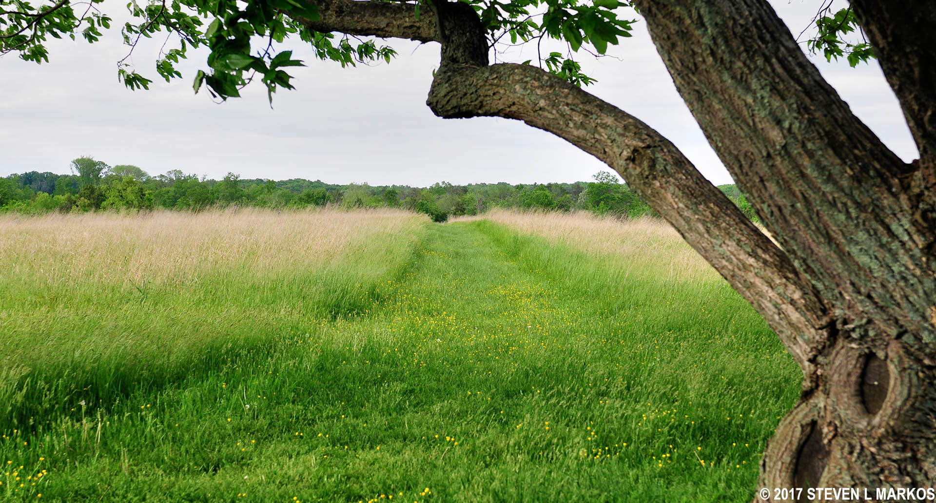
Connector trail from Battery Heights to the Brawner Farm Loop Trail, Manassas National Battlefield Park
EVENTS AT BATTERY HEIGHTS
On the evening of August 28, 1862, General John Pope’s Union soldiers were marching east down Warrenton Turnpike (Hwy 29) towards Centreville where they hoped to find Confederate General Stonewall Jackson’s highly outnumbered army. Instead, Jackson had positioned his men along Stony Ridge and an unfinished railroad bed that ran from the Brawner Farm to Bull Run (creek) near Sudley Methodist Church. From there, he had a clear view of the Turnpike. Jackson launched his attack on the Union troops from near the Brawner farmhouse at around 6 PM.
When the fighting began, the commander in charge of the Union troops who came under fire was General Rufus King. However, King had an epileptic seizure and was replaced by Brigadier General John Gibbon. Gibbon found himself positioned near the Battery Heights tour stop when cannon fire erupted from a hill just north of the Brawner Farm. Gibbon saw nobody other than the men firing the cannon, so he sent the 2nd Wisconsin Infantry charging up the hill towards the guns. At that moment, Jackson’s famed Stonewall Brigade, which had been back at Stony Ridge and the Unfinished Railroad, appeared on the hill, surprising the Union soldiers. Though the Confederates numbered only 850 men as compared to the nearly 2,000 that Gibbon commanded, they were some of the best soldiers on the field.
As the fighting developed, the Stonewall Brigade took up a position on a ridge just north of the Brawner farmhouse, while the Union made it up the hill to the farmhouse. Only seventy yards separated the two lines. (If you hike the Brawner Farm Loop Trail, a long and narrow oval, you walk the Union line on the south side of the trail and the Confederate line on the north). Soon the Stonewall Brigade was reinforced by over 1,600 more men. Fighting continued until dark, by which time approximately 340 men of the Stonewall Brigade were injured or dead, and half of the 2nd Wisconsin were casualties of the battle. The fighting finished in a draw.

View of the Confederate line at the Brawner Farm—fence at the top of the hill—from the Union perspective, Manassas National Battlefield Park
Stop 3: Stone House | Stop 1: Brawner Farm
With a few exceptions, use of any photograph on the National Park Planner website requires a paid Royalty Free Editorial Use License or Commercial Use License. See the Photo Usage page for details.
Last updated on May 19, 2025


