

Lunettes Palmer and Thomas (click to enlarge)
The Fort Rosecrans earthworks that remain from the Palmer and Thomas Lunettes and the walls that connected them together are much more extensive than those found at Redoubt Brannan, and much more defined. You’ll find row after row of small hills and trenches, plus plenty of information panels that explain the history of the fortress. However, no matter how much of the ground you cover, everything pretty much looks the same. A stop at the lunettes will appeal mostly to Civil War buffs.

Typical earthwork remains
The earthworks in this area are extensive enough to have a trail system that works its way through the site. In fact, the parking lot also serves the Lytle Creek Greenway (a city run hiker-biker trail), so the area is sort of a hub for hikers, joggers, and bikers. You can walk well over a mile within the fort walls, but the problem is that there is only one trail map posted at the entrance and no directional signs once you enter the earthworks. If you aren’t careful, you could end up on the Lytle Creek Greenway and find yourself in downtown Murfreesboro. It’s not like there is a complicated network of trails, it’s just that without a map you don’t know where you are in the scheme of things. A trail map at each intersection would be greatly appreciated.

Trail map
The trails essentially form one, long oval with two cut-through trails that split the oval into three loops. Lunettes Palmer and Thomas are located at either end, and in between are the walls that connected them together. To see the most earthworks, and to get the most exercise, walk the outer perimeter of the trail and forget about the short cuts.
The parking area puts you into the middle of the earthworks. To walk though the site in a clockwise manner, take the asphalt path that leads from the parking lot towards the woods. A Fortress Rosecrans information panel is near this path. If you were to walk down the sidewalk to the right along the parking lot you will come to an asphalt path as well. This takes you counterclockwise around the earthworks, and while you are welcome to do that, I am describing the hike in the clockwise manner.

Path next to the Fort Rosecrans information panels leads to the center of the eartworks
When you come to the first intersection—a cut through trail to the right—just keep straight. You will be walking towards and soon through Lunette Palmer, with much of the trail being along a boardwalk. An observation deck marks the far left corner of the lunette. After this you will be looping back towards Lunette Thomas and will once again pass the same cut-through trail, though this time on the other side of the loop. Again, keep straight.
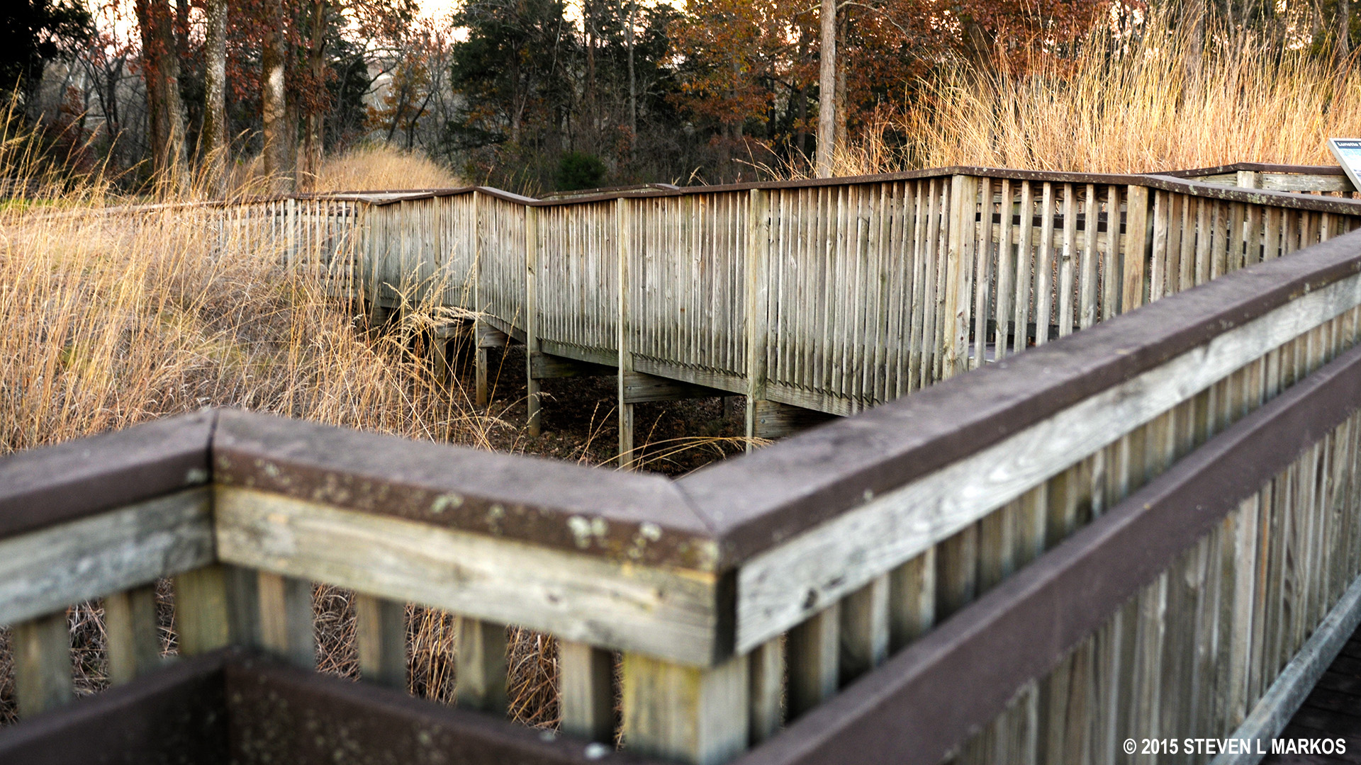
Boardwalk at the Lunette Palmer section of the fort
You will now be on a stretch that runs between the two lunettes called the “Curtain Wall #2.” As you walk, you will see a series of earthen walls that run perpendicular to and butt into the curtain wall so to form rooms. An information panel shows that these were dividers for different artillery batteries.

Drawing shows how the earthen walls fit into the fort’s design

Two walls run perpendicular to the curtain wall, one in the foreground and one with the sun shining on it
At the next intersection take a left. This takes you to the Lunette Thomas loop. Just a short ways down you will come to another intersection. If you want to, you can take a left and walk to Lytle Creek. I did not do this, so I am not sure what sort of view you will have (at the time I had no idea where this trail went to or even where I was). This trail dead ends, so you must return back to the intersection.
At the Lytle Creek intersection take a right. Shortly after this you will come to a boardwalk that leads to a couple of information panels, so I suggest taking it if you want to learn something. One panel has a map that shows where you are and the other discusses the introduction of black soldiers to the Union army. You can also get a decent look at the Curtain Wall from this elevated platform. The boardwalk is a dead end, so return to the paved path and continue to the right.

Short boardwalk leads to two information panels
No sooner do you pass the boardwalk that you come to another very short side path, this one ending at an information panel and cannon exhibit.

Lone cannon exhibit at the lunettes
It is the next intersection that can send you to Murfreesboro. This is marked with a Lunette Thomas information panel, so you now know what to look for. Take a right here. Staying straight puts you on the Lytle Creek Greenway—you’ll know you went the wrong way if you find yourself at a city street (Overall Street).
From this point the trail intersects with one, last cut-through trail, so stay straight. Not long after this you will be walking along the parking lot and will soon be back at your car. Round trip is about a mile.
With a few exceptions, use of any photograph on the National Park Planner website requires a paid Royalty Free Editorial Use License or Commercial Use License. See the Photo Usage page for details.
Last updated on March 10, 2020


