

Start of the Fort Donelson National Cemetery Trail, Fort Donelson National Battlefield
Length: 1.1 mile (2.2 miles round trip)
Time: 1.5 hours round trip with time to see the cemetery
Difficulty: moderate with a few very steep hills to climb
NOTE: The trail to Fort Donelson National Cemetery has no official name, so I am calling it the Fort Donelson National Cemetery Trail in this review.
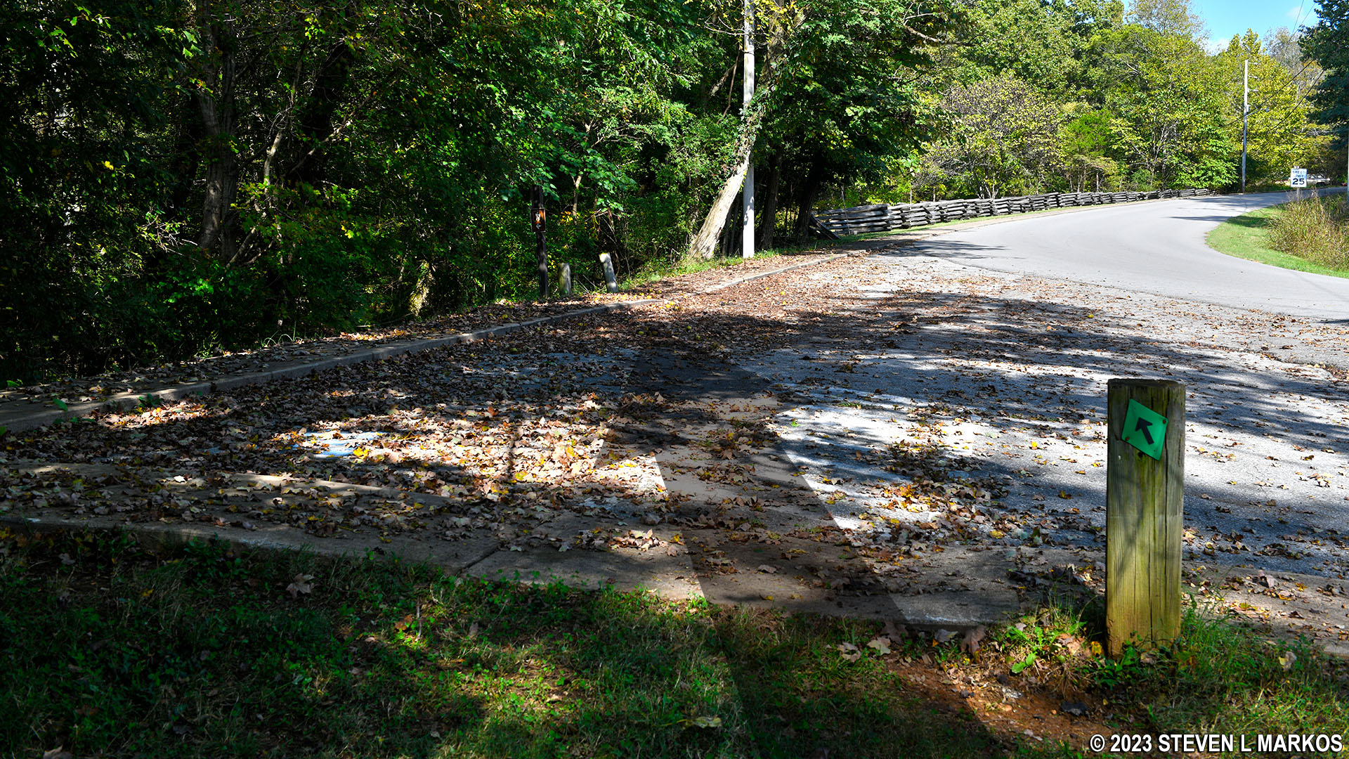
For those hiking the Donelson Trail from the Fort Donelson National Battlefield Visitor Center, there is an option to make a side trip to the National Cemetery. When hiking in the counterclockwise direction from the amphitheater at the back of the building, the turnoff for the National Cemetery Trail comes a little over a half mile into the hike.
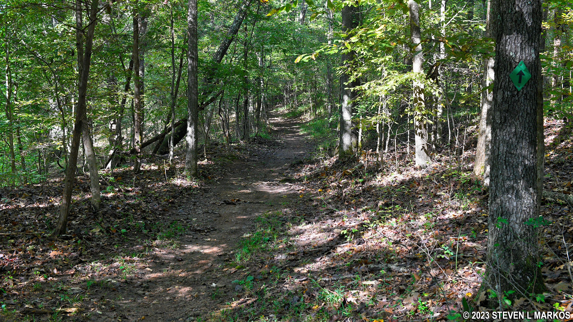
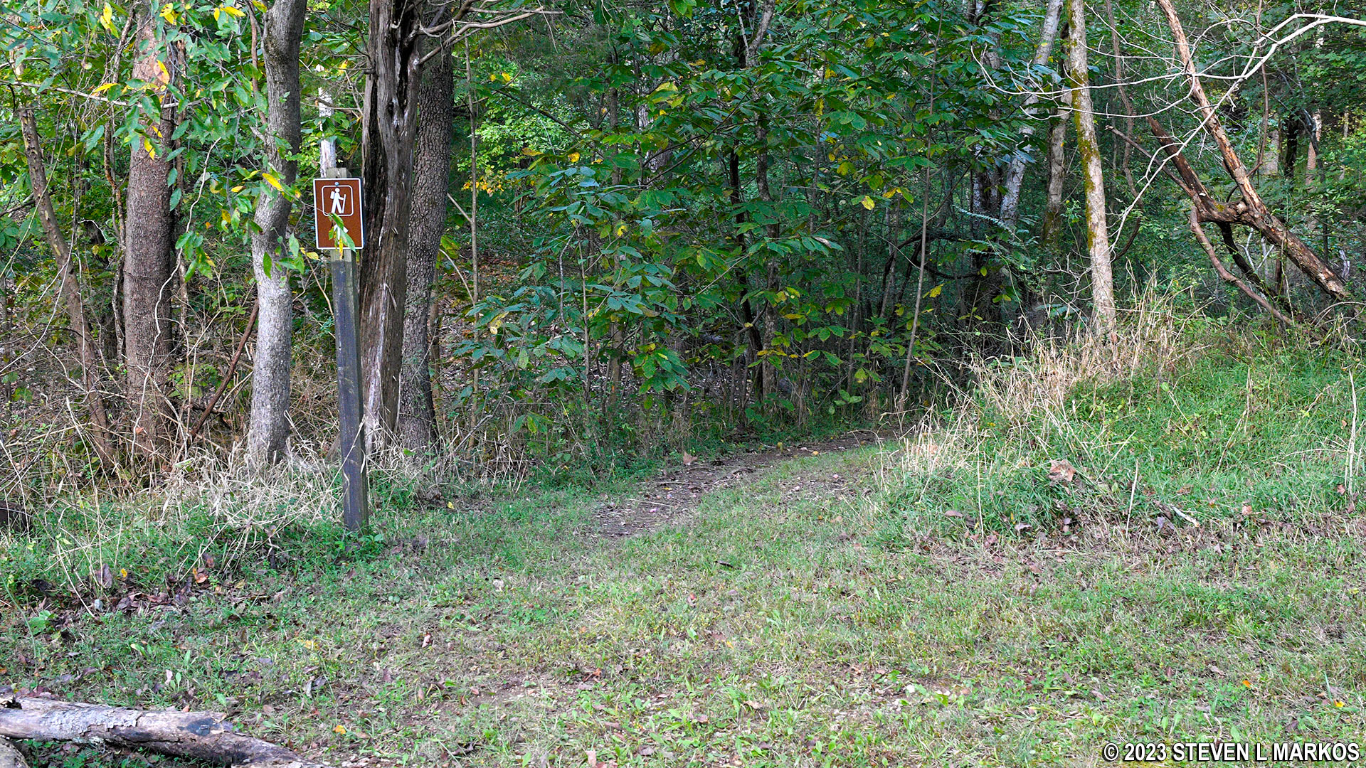
The National Cemetery Trail is blazed with green tags attached to trees that you follow like Hansel and Gretel breadcrumbs. There is often one blaze within eyesight of the other despite the fact that it is obvious which way to go.
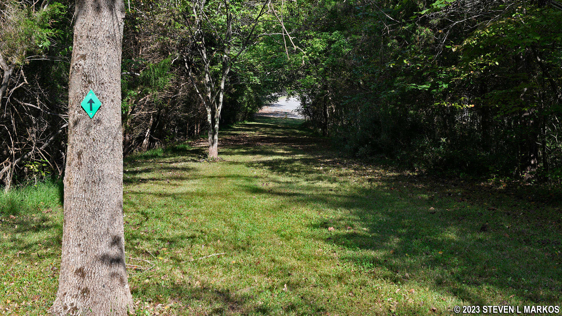
Green blazes mark the Fort Donelson National Cemetery Trail
The trail starts off heading steeply downhill on a very narrow path. The average grade is -22%, and most hikers agree that -15% is where strenuous begins. However, the descent is short, lasting only about 400 feet. Young people won’t be bothered much because the hike is downhill, but for older people with bad knees, hiking downhill is worse that hiking uphill.
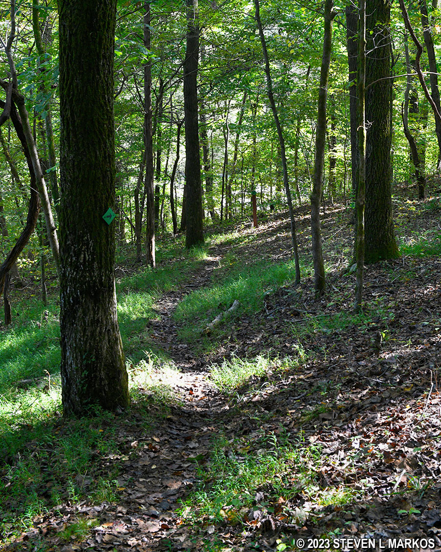
Start of the Fort Donelson National Cemetery Trail
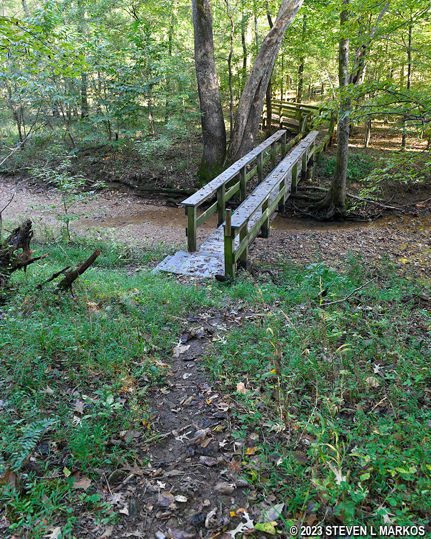
At the bottom of the hill is a stream, Indian Creek, that is spanned by a footbridge, and once across it, the trail becomes a boardwalk. However, the trail continues straight ahead, passing right by the bridge. There’s even a green blaze on a tree. Look across the creek on the boardwalk and you’ll also see a green blaze, so things are a little confusing. All that is happening is that it’s a little steep down to the bridge, so the trail continues straight then loops back like a wheelchair access ramp. You can either follow the trail or just shuffle down the hill to the bridge. Straight ahead is actually a little overgrown, which means most people take the shortcut.
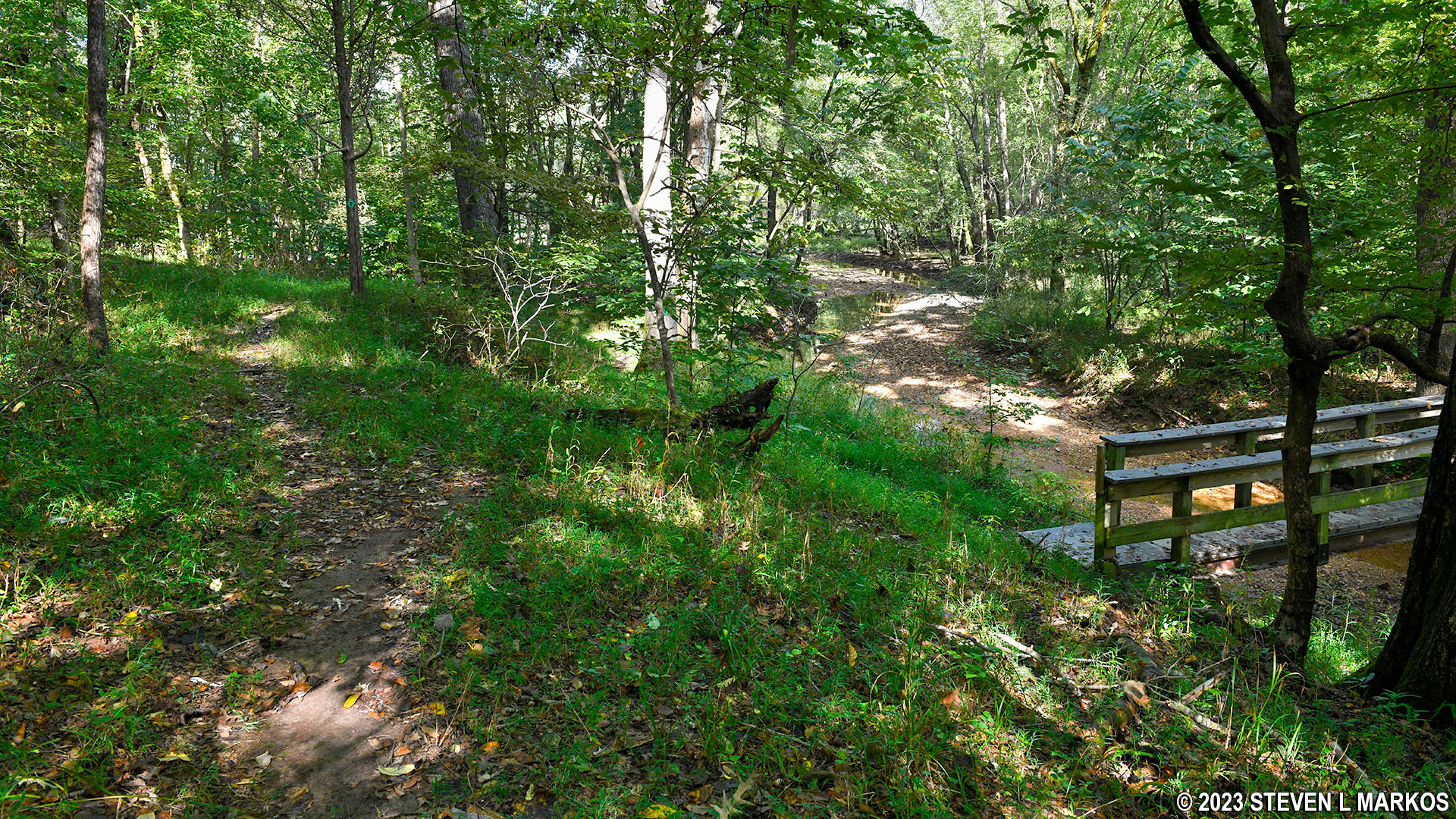
Fort Donelson National Cemetery Trail at the bridge over Indian Creek
Shortcut to the bridge over Indian Creek on the Fort Donelson National Cemetery Trail
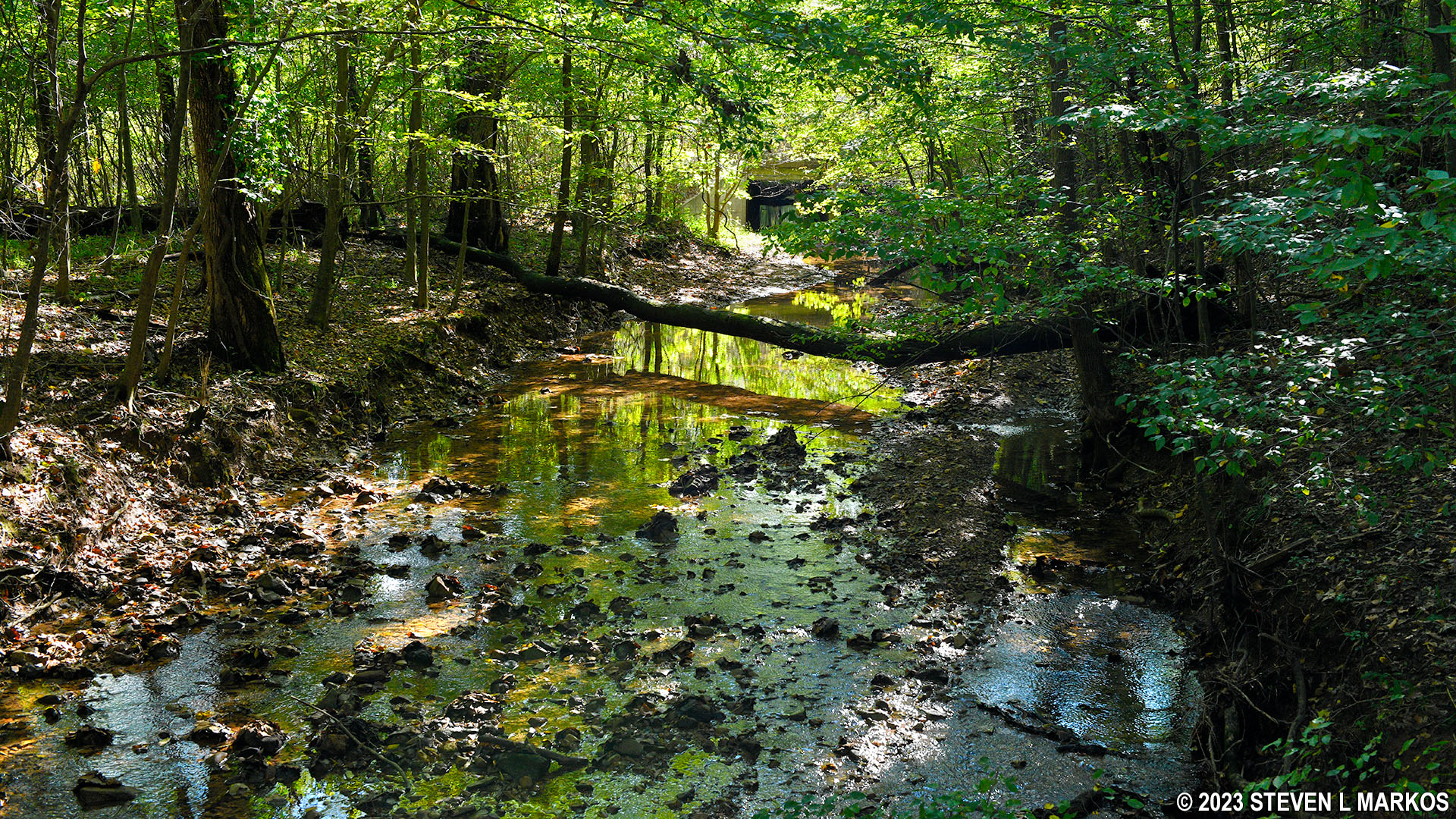
Indian Creek at Fort Donelson National Battlefield
The boardwalk eventually comes to some steps that lead up to a parking lot on Church Street, which is the road to the cemetery for those driving. Cut across the corner of the parking lot and pick up the trail on the other side.
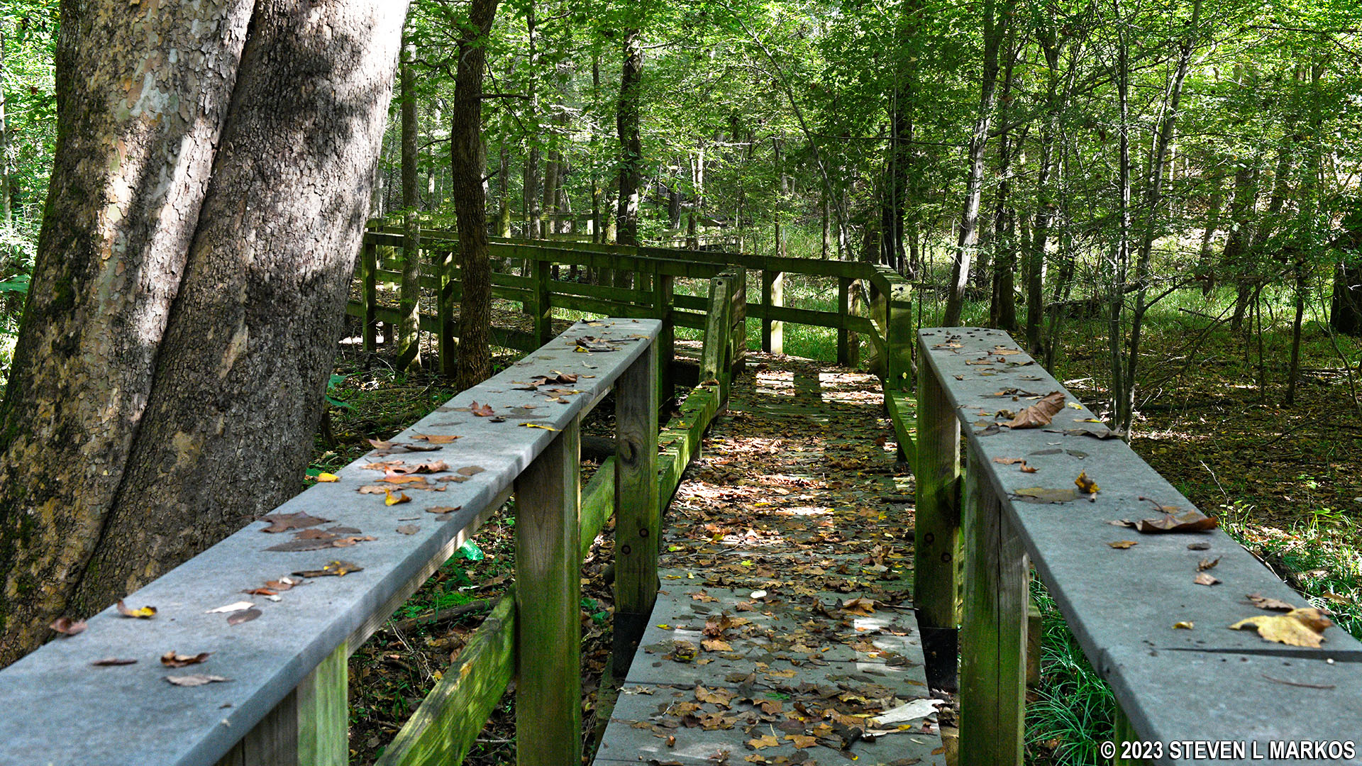
Boardwalk portion of the Fort Donelson National Cemetery Trail
Fort Donelson National Cemetery Trail at Church Street
The next .4 mile of the hike is on fairly level ground. In fact, you’ll soon be walking along what appears to be a narrow lake, though it is just a really, really wide version of Indian Creek. The Cumberland River is dammed in this area, which caused it to widen and form what is now called Lake Barkley. With the river water now moving at lake speed (not very fast), the streams that flow into it get backed up as well, thus the wide version of Indian Creek that you now see.
Level terrain on the Fort Donelson National Cemetery Trail when Indian Creek widens to form a small lake
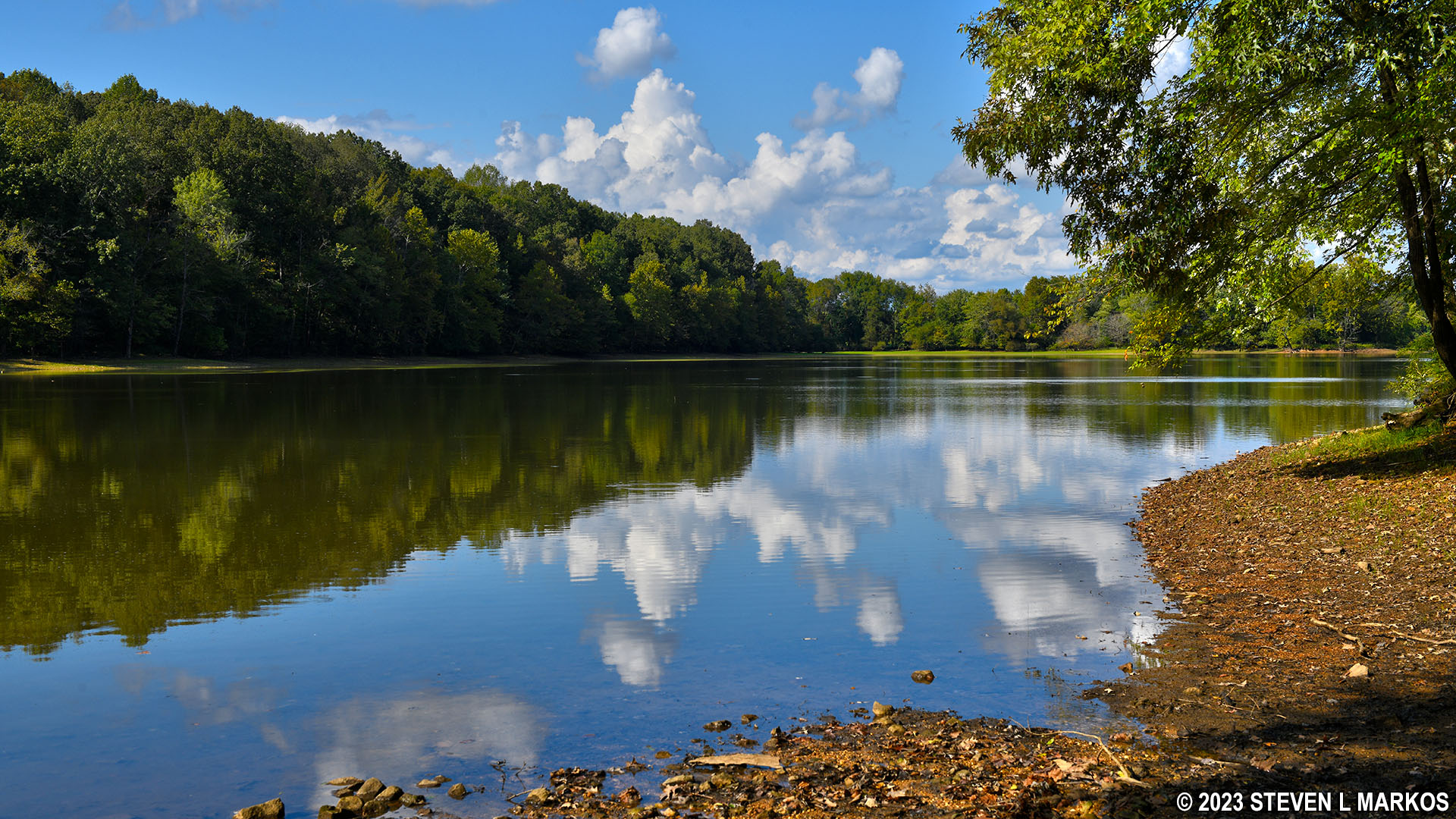
Indian Creek at Fort Donelson National Battlefield
Not long after coming to the lake is a field with an amphitheater, picnic tables, and some fire pits / grills. According to a park Ranger I talked with later, this is a youth group campground that has not been publicized by the National Park Service in seven years. It is not mentioned on the National Park Service’s website for Fort Donelson National Battlefield, and it is not mentioned on the park brochure. The Ranger wasn’t clear if the place was even open, but she made it sound as if you had to know about it to camp there, meaning it was pretty much a locals-only secret.
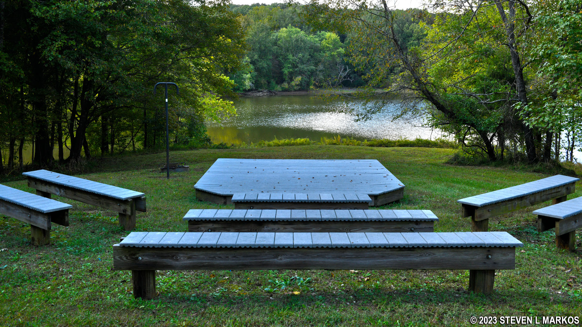
Amphitheater at the Fort Donelson National Battlefield’s youth group campground
The trail continues on the other side of the field and heads back into the forest. A tenth of a mile later is another steep hill, about the same as the one you came down at the start of the hike but only half the length. Once at the top the trail levels off and remains that way until just before coming to the cemetery, where there is one last steep hill with an average grade of 13%.
Fort Donelson National Cemetery Trail at the Fort Donelson National Battlefield Youth Group Campground
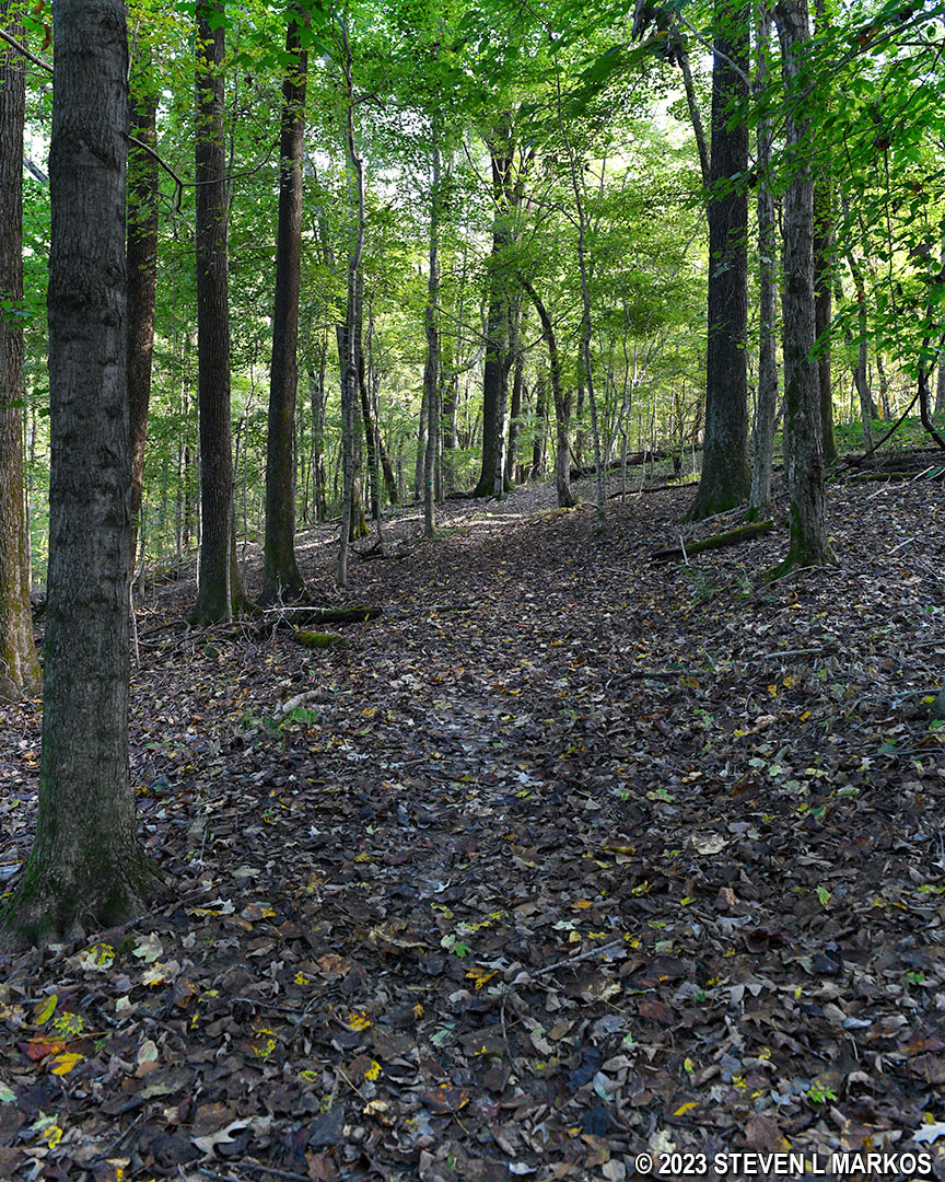
Steep terrain on the Fort Donelson National Cemetery Trail
The National Cemetery Trail ends at the back of the cemetery by the flagpole, which is the location of the Civil War-era graves. There is no admittance fee, so feel free to walk around. Fort Donelson National Cemetery is open daily from 8 AM to 5 PM.

End of the Fort Donelson National Cemetery Trail
Unless you are really looking for a long hike, I don’t see much point in the side trip to the cemetery. The Fort Donelson Trail itself is 3.25 miles long, which suffices for most people. The lake is pretty, but that is the trail’s only selling point. If you want to see the cemetery, just drive to it.
With a few exceptions, use of any photograph on the National Park Planner website requires a paid Royalty Free Editorial Use License or Commercial Use License. See the Photo Usage page for details.
Last updated on October 22, 2024


