

Earthen remnants of Fort Heiman, part of Fort Donelson National Battlefield
As the crow flies, forts Heiman and Henry are located twelve miles to the west of Fort Donelson. They were built to prevent Union ships from traveling south on the Tennessee River during the Civil War. Fort Henry was on the east side of the river and Heiman on the west side. Nothing remains of Fort Henry, which was submerged underwater when the Tennessee River was dammed and Kentucky Lake formed, but some of the Fort Heiman earthworks remain. The National Park Service owns 160 acres of the area where Fort Heiman was once situated, and this land became part of Fort Donelson National Battlefield in 2006. In addition to the earthworks, there is an information pavilion and a fancy outhouse, which is what I call a “portable toilet” in a permanent building.

Information pavilion at Fort Heiman, part of Fort Donelson National Battlefield
Construction on Fort Heiman began in January 1862. Being located high above the river on Stewart’s Hill, the fort provided artillery support for the lower-lying Fort Henry. It was incomplete when Union ironclads attacked on February 6, 1862. Confederate Brigadier General Lloyd Tilghman had abandoned Heiman a few days earlier and moved everyone to Fort Henry. Henry took a pounding from the ironclads, and by the end of the day Tilghman had evacuated nearly everyone to Fort Donelson. A little over a week later, Fort Donelson was attacked and the Confederates surrendered.
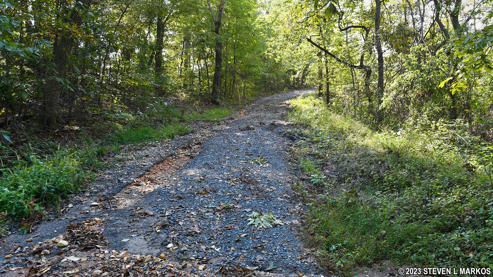
The Fort Heiman unit is located in Kentucky. By vehicle, it is 25 miles from Fort Donelson, and the end of the drive is through an area that looks like something right out of Deliverance. Just be careful if you got a purdy mouth. The road is washed out beyond the information pavilion, so seeing the earthworks requires walking.
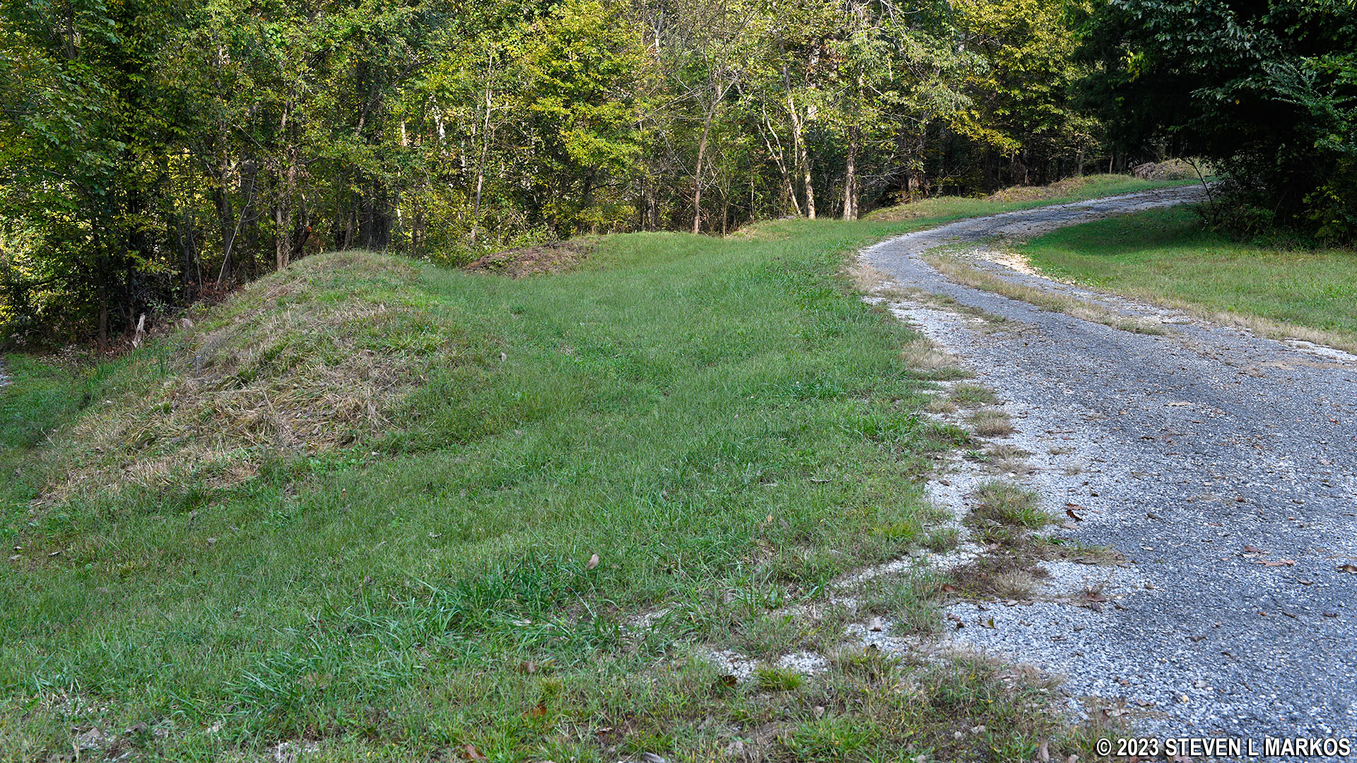
In truth, a visit to Fort Heiman is only for the most ardent of Civil War history buffs, but if you want to see it, here’s what to do. Start walking down the road from the pavilion to the first of two forks. One of the roads is nothing but a driveway to a private house on the hill, so head in the other direction. The road then splits again shortly thereafter. This is actually the start of a loop that goes around the area where Fort Heiman once stood. It doesn’t matter which way you go, but I stayed to the left and went up the hill.

Start of the loop around the Fort Heiman unit of Fort Donelson National Battlefield
Walking path through the Fort Heiman unit of Fort Donelson National Battlefield
I’m pretty sure the road did not get in this condition overnight. In fact, I get the feeling that it will never be repaired and that the road will eventually just become a semi-paved walking trail.

Visitors to Fort Heiman unit of Fort Donelson National Battlefield walk around the fort grounds on a washed-out road
Along the road are some wayside exhibits, and you’ll see small hills and gullies, remnants of the former earthen walls and trenches that once surrounded Fort Heiman. These earthworks have been whittled down by nature during the 160-plus years since the fort was built. If you didn’t know any better, you’d just think you were looking at small hills and gullies, which is why you really must be an ardent Civil War buff to want to visit.
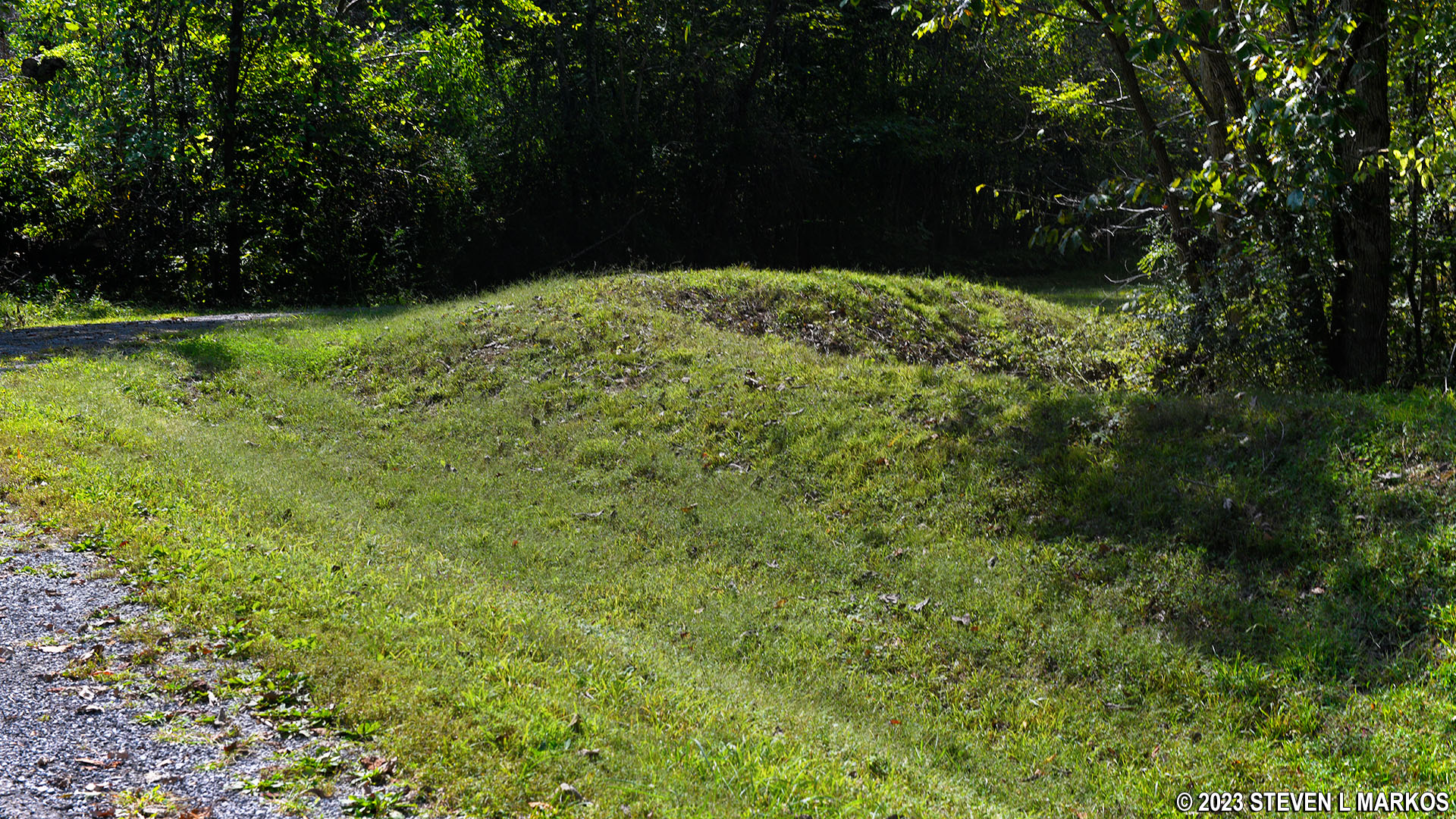
Remnants of earthen fortifications at Fort Heiman, part of Fort Donelson National Battlefield
Remnants of earthen fortifications at Fort Heiman, part of Fort Donelson National Battlefield
Total distance around the loop is a little over a half mile. Plan to spend no more than 20 minutes on the walk and perhaps fifteen minutes reading the information at the pavilion.
With a few exceptions, use of any photograph on the National Park Planner website requires a paid Royalty Free Editorial Use License or Commercial Use License. See the Photo Usage page for details.
Last updated on October 22, 2024


