

Delaware River near Ten Mile River, Upper Delaware Scenic and Recreational River
Length: 6.7 miles
Water Level at Time of Trip: 3.1 feet
Average moving speed: 3.4 MPH with two paddlers
Time: 2 hours
This river review covers the Delaware River from the Ten Mile River Canoe Launch in New York to the Lackawaxen Boat Ramp at the Zane Grey Museum in Pennsylvania, a span of 6.7 miles. This is one of the better sections within the boundaries of the Upper Delaware Scenic and Recreational River.

Ten Mile River Canoe Launch on the Upper Delaware Scenic and Recreational River
Before starting a trip on the Upper Delaware Scenic and Recreational River, it is a good idea to check the water levels so that you have an idea of the river conditions. Levels of 2.5 to 4 feet are average and provide plenty of water for a trip down the river with conditions suitable for paddlers of all skill levels. The gauge relevant to the Ten Mile River-to-Lackawaxen section is the one just north of Lackawaxen (6 miles downriver from Ten Mile River and 1.75 mile upriver from the Zane Grey Museum). On the day of my trip in late October, this gauge reported water levels of 3.15 feet, and all observations in this report are based on that level. Adjust your expectations according to the conditions on the day of your trip.
After departing from the Ten Mile River Canoe Launch, the first point of interest comes just at the start of an S-curve in the river, 1.25 mile from the launch. You’ll see what appears to be an exciting section of rapids on the New York (left) side of the river, and you’ll be tempted to head that way. However, these aren’t rapids. The turbulence is caused by a V-shaped rock damn that is part of an eel weir. It wasn’t being used when I went down the river—no wooden eel trap in place—but the rocks are still there. The left side of the V actually extends to the shore, so the only way to get around it is on the right side. Thus, as soon as you start going around the first bend, head to the right side to avoid the rocks. I wasn’t paying attention and ended up getting stuck. The photo below was shot looking upriver (after I passed the eel weir) since I couldn’t take a photo looking downriver due to the sun.

Eel weir just downriver from Ten Mile River, Upper Delaware Scenic and Recreational River
Just past the eel weir is another bend in the river, and here you will find one of the longest stretches of rapids on the Upper Delaware Scenic and Recreational River up to this point. They aren’t very big (Class I), and you do have to slalom around exposed rocks, but it’s more fun than still water. If you have a GPS device, this is in the area near the Sylvania Tree Farm on the Pennsylvania side of the river.

Small rapids 1.25 miles downriver from the Ten Mile River Canoe Launch, Upper Delaware Scenic and Recreational River
Once beyond the rapids the current slowed to 1.7 MPH, not turtle speed but not fast either.

Calm section of the Delaware River between Ten Mile River and Lackawaxen, Upper Delaware Scenic and Recreational River
Two miles downriver from the tree farm is a summer camp, Camp Chayolei Hamelech, and there are a couple runs of Class I rapids across from it. Again, avoiding the exposed rocks is more of a challenge than the rapids. Though the rapids aren’t big and the current isn’t that fast, if you hit a rock and come to an abrupt stop, you can get tossed out of the boat if you aren’t paying attention.
Small rapids on the Delaware River between Ten Mile River and Lackawaxen, Upper Delaware Scenic and Recreational River
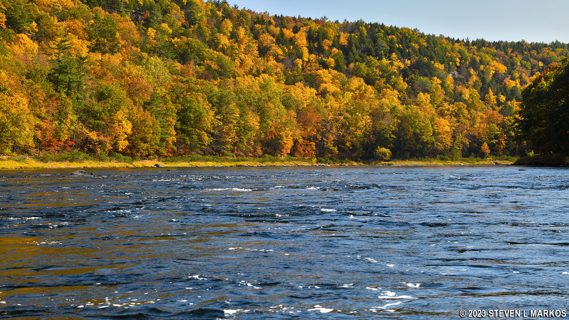
About .75 mile past the summer camp rapids is another large bend in the river to the east, and the water really slows down here, almost forming a lake. This is a very picturesque section with exposed rocks along the shore.
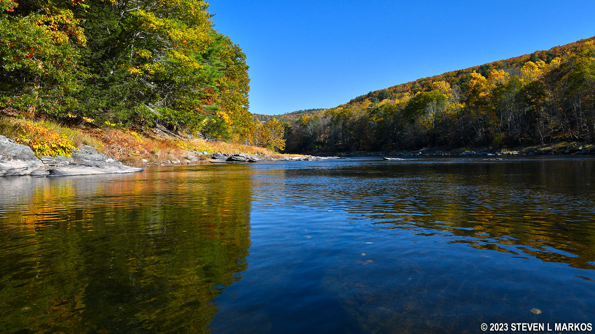
Eastward bend in the Delaware River north of Lackawaxen, Upper Delaware Scenic and Recreational River
In less than a mile from the start of the bend to the east is another bend to the south. There are three or four sections of small rapids within this second bend, but there is also some very shallow water, especially in the area near another campground, the Ascalona Campground. When I saw birds standing in the water I knew I was in trouble, and sure enough my boat began scraping bottom. All I can say for sure is that you don’t want to be on the New York (left) side of the river where the campground is. I’m not sure if the right side is any better, but it can’t be worse. And remember, this shallow water came on a day when the nearest (very near) water gauge read 3.1 feet. (The Lackawaxen water gauge is positioned just before the second bend.)

Shallow area of the Delaware River just north of Lackawaxen, Upper Delaware Scenic and Recreational River
The boat ramp at the Zane Grey Museum is on the Pennsylvania (right) side of the river just past the confluence of the Delaware and Lackawaxen rivers but before the Roebling Aqueduct, the bridge you can see in the distance. Just look for a large house with a concrete boat ramp—you can’t miss it. The water is deep in this area and the current is almost non-existent, so it’s more like a lake than a river.

Boat ramp at the Zane Grey Museum in Lackawaxen, Pennsylvania, Upper Delaware Scenic and Recreational River
While the National Park Service owns the Zane Grey Museum and property, the boat ramp is owned by the Pennsylvania Fish and Boat Commission (PFBC). To use PFBC ramps, you must obtain a launch permit. This requirement is for all types of watercraft including canoes, kayaks, stand-up paddleboards, rowboats, rafts, and sailboats without a motor. See the PFBC’s Registering / Titling a Boat web page for more details.
Next River Section | Previous River Section | River By Section Home Page
With a few exceptions, use of any photograph on the National Park Planner website requires a paid Royalty Free Editorial Use License or Commercial Use License. See the Photo Usage page for details.
Last updated on August 18, 2023


