

Upper Delaware Scenic and Recreational River between Kellams Bridge and Callicoon, New York
Length: 9.7 miles
Water Level at Time of Trip: 1.3 to 2 feet
Average moving speed: 3.8 MPH with two paddlers
Time: 2.5 hours
This river review covers the Delaware River from the Kellams Bridge Canoe Launch to the Callicoon Boat Ramp, a span of 9.7 miles. The Kellams Bridge launch is an awful spot to start a trip down the Delaware River and should be avoided if possible. From the staging area you must climb down—with your boat—a steep embankment, one steep enough that ropes have been installed to help people down.

Kellams Bridge Canoe Launch, Upper Delaware Scenic and Recreational River
Before starting a trip on the Upper Delaware Scenic and Recreational River, it is a good idea to check the water levels so that you have an idea of the river conditions. Levels of 2.5 to 4 feet are average and provide plenty of water for a trip down the river with conditions suitable for paddlers of all skill levels. The observations made in this report are based on water levels described below, so adjust your expectations according to the conditions on the day you do the trip. The lower the water, the more often you will hit rocks on the bottom of the riverbed and get stuck. The higher the water, the more paddling skills you need
On the second day of my late-October trip down the Upper Delaware Scenic and Recreational River, the USGS water level gauge at Lordville, New York, which is nine miles upriver from Kellams Bridge, reported that the water was 6.3 feet deep, though this is only because there is a deep pool in this area. At the same time, the gauge at Callicoon, New York, which is nine miles downriver from Kellams Bridge, reported the water level to be 1.4 feet.
The water level at Kellams Bridge was somewhere between these two, and the trip to Callicoon started out pleasantly enough. However, as I traveled downriver, the water level got closer and closer to the 1.3 feet at Callicoon, and pleasant turned to unpleasant rather quickly. Dealing with low water and getting stuck on rocks made up perhaps a half hour of the 2.5 hours it took me to travel this section of the river. Thus, if the Callicoon gauge isn’t reading at least 2.5 feet, expect a slow trip as you head south. Beginning a few miles upriver from Callicoon, the water level is traditionally very low (less than 2 feet), so on most days you just have to accept it as status quo.
Three quarters of a mile from Kellams Bridge, the river channel narrows where a piece of land juts into the water. Where the river narrows, the water typically flows much faster, often forming rapids of some sort. Such was the case here. In fact, this was the first decent runs of rapids I encountered since starting my trip on the Upper Delaware Scenic and Recreational River at Hancock, New York, the day before. Because the water was quite shallow, there were lots of exposed rocks that I had to slalom around. There was even a standing wave that gave me a good splashing as I passed through it. The river slows when it widens beyond the bulge of land, but it narrows again in another three quarters of a mile, and there is another run of rapids. It might be a stretch to call both sections Class II, but they were fun nevertheless. I wouldn’t recommend taking toddlers down this section, but it should be fun for most people, including younger children. Definitely plan on getting wet.
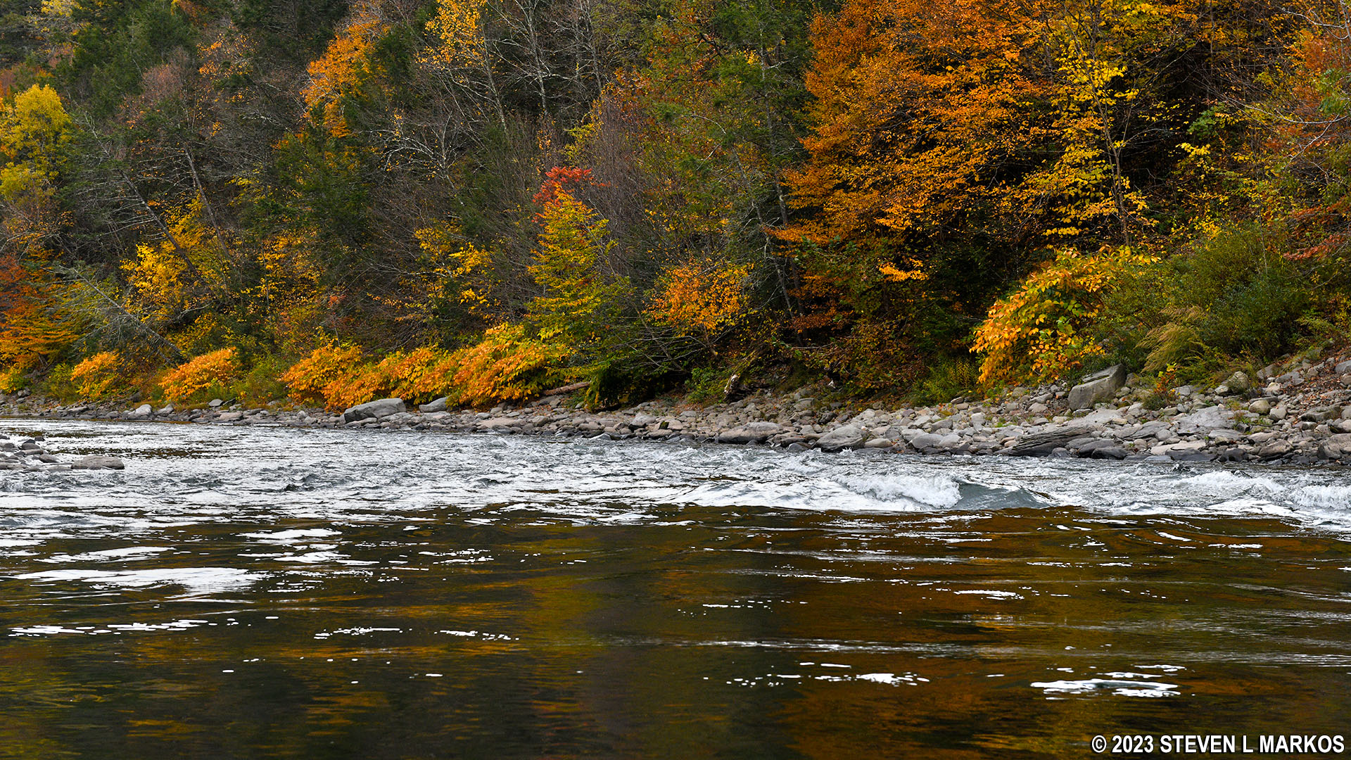
Rapids on the Delaware River just downstream from Kellams Bridge, Upper Delaware Scenic and Recreational River
The Delaware River widens beyond the second run of rapids and calmer water soon prevails, but the current was a decent 2.5 MPH.

Delaware River a mile downriver from Kellams Bridge, Upper Delaware Scenic and Recreational River
The river was certainly getting shallower as I journeyed south. I twice got temporarily stuck on rocks, but I never had to get out of the boat and drag it to deeper water (I was able to scooch over them or use my paddle to push myself off them). If you have a map of the river, you’ll see a large C-shaped curve before coming to Callicoon. The groundings happened at the north end just as the curve transitions from west to southwest and then again a half mile farther downriver. Both groundings came at areas of small riffles, which typically indicate a shallow, rocky area. Prior to the C-curve, the water was shallow but plenty deep enough for a kayak or canoe.

Area of riffles on the Delaware River between Kellams Bridge and Callicoon, Upper Delaware Scenic and Recreational River
At the southern end of the C-curve, about two miles prior to Callicoon, is a large island. The water was very shallow here, and I was constantly either getting temporarily stuck or propelling myself through the water by pushing off on rocks. I soon began to wonder if I’d be dragging my kayak all the way to Callicoon. I went around the island to the right on the narrower of the two channels that flowed around it, doing so because the water tends to flow faster through the narrower channel. If water levels are low when you do this trip, you might want to try going around to the left—you can’t fare any worse than I did.
A mile from the Callicoon Boat Ramp is another group of islands. As before, I took the narrower channel to the right because 1) there were two fishermen standing in the middle of the wider channel and the water didn’t come up over their knees and 2) I was hoping to ride the faster current. All that ended up happening was that I was once again stuck in very shallow water. I actually had to get out and pull the boat to deeper water (a little deeper). Again, if the water is low, take the wider channel to the left. I don’t know if it’s any deeper, but it can’t be worse.

Approaching the islands near the Callicoon Bridge, Upper Delaware Scenic and Recreational River

Rocky area just upriver of the Callicoon Bridge, Upper Delaware Scenic and Recreational River
The bridge you will see when coming to the end of the first big island is the Callicoon Bridge. The boat ramp is on the Pennsylvania (right) side of the river about .6 mile past the bridge. The National Park Service’s brochure for the Upper Delaware Scenic and Recreational River also shows a canoe launch on the New York side just past the bridge, but it is hidden behind one of the islands, and you won’t see it unless you know where to look. I also believe it is closed for good due to a local bridge being out, so just forgetaboutit and head over to the Pennsylvania side of the river once you go under the Callicoon Bridge. The water actually gets deeper beyond the bridge (waist high on my trip), so it was no problem to make it to the ramp.

View of the Callicoon Bridge from the Upper Delaware Scenic and Recreational River

Deeper water south of the Callicoon Bridge, Upper Delaware Scenic and Recreational River
The Callicoon Boat Ramp, which is operated by the Pennsylvania Fish and Boat Commission (PFBC), is an easy take out / put in spot, nothing like the Kellams Bridge Canoe Launch. There is even a portable toilet at this boat ramp. The only catch is that all boats, including non-motorized boats, must have a launch permit to use the PFBC ramps. Tourists with their own kayaks or canoes might play dumb if caught using the ramp without a permit, but New York and Pennsylvania residents won’t have an excuse.
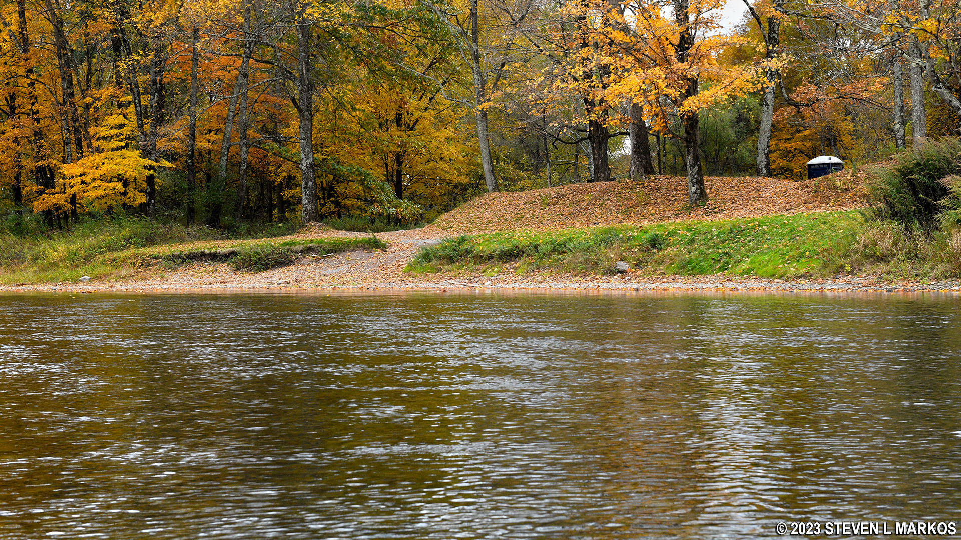
View of the Callicoon Boat Ramp from the water, Upper Delaware Scenic and Recreational River
Next River Section | Previous River Section | River by Section Home Page
With a few exceptions, use of any photograph on the National Park Planner website requires a paid Royalty Free Editorial Use License or Commercial Use License. See the Photo Usage page for details.
Last updated on January 28, 2024


