
Delaware River between Damascus and Skinners Falls, Upper Delaware Scenic and Recreational River
Length: 3 miles
Water Level at Time of Trip: 1.4 to 3 feet
Average moving speed: 3.6 MPH with two paddlers
Time: 50 minutes
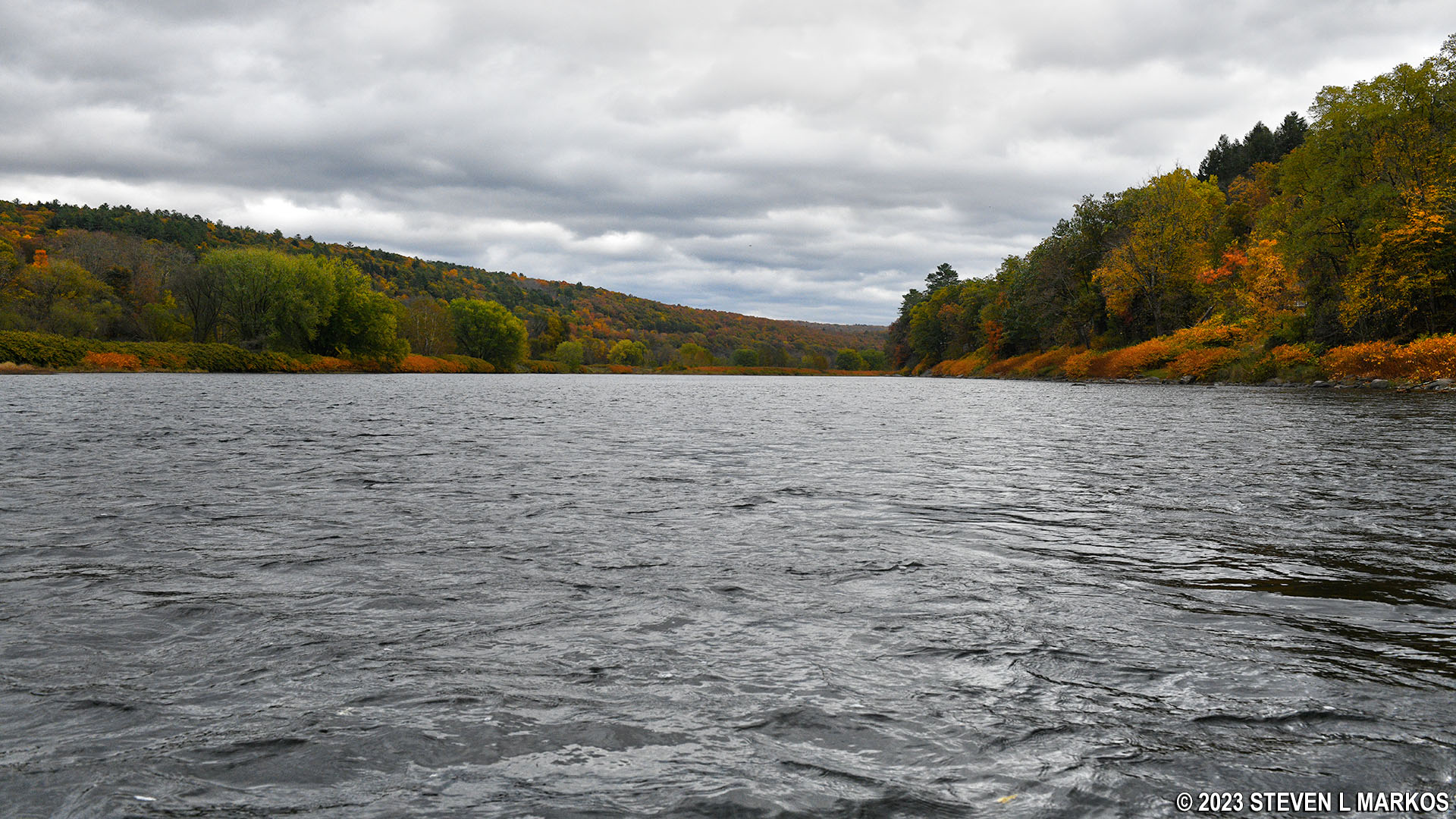
This river review covers the Delaware River from the Damascus Boat Ramp in Damascus, Pennsylvania, to the Skinners Falls Canoe Launch in Narrowsburg, New York, a span of 3 miles. The Damascus ramp is a great place to start a paddling trip down the Delaware River. It has a large parking lot and provides easy access to the water.

Damascus Boat Ramp, Upper Delaware Scenic and Recreational River
Before starting a trip on the Upper Delaware Scenic and Recreational River, it is a good idea to check the water levels so that you have an idea of the river conditions. Levels of 2.5 to 4 feet are average and provide plenty of water for a trip down the river with conditions suitable for paddlers of all skill levels. The two relevant water gauges for this section of the river are at Callicoon, New York, and just north of Lackawaxen, Pennsylvania. These cover a span of 26 miles, so you’re not going to get readings you can bet your house on, but you’ll be able to get a general idea of whether you’re in for an enjoyable outing or if you’ll be dragging your boat over rocks most of the time (or risking your life when water levels are high).
On the day of my trip, the Callicoon gauge reported water levels of 1.4 feet, which is low but typical of that gauge. The actual measurements are taken at the Callicoon Bridge where Callicoon Creek empties into the Delaware River. This reading was in the ballpark for a few miles upriver from the bridge, but from the bridge all the way to the Damascus Boat Ramp, the water levels were much higher. I scraped over the tops of rocks a few times, but for the most part there was enough water for any hand-paddled watercraft. On that same day, the Lackawaxen gauge read 3.25 feet. The observations made in this report are based on the water levels reported by these two gauges, so adjust your expectations according to the conditions on the day you do the trip.
Prior to the Damascus Boat Ramp, the current was very slow, but heading downstream things picked up a bit for the first couple of miles until the river came to the first of two bends that form an S-curve. There was plenty of water for canoe travel, and at one point when I passed through a number of small rapids, the current was 4.5 MPH. However, once coming to the bend, the current went back to being less than 2 MPH and the water was very shallow. I scraped the bottom but didn’t get stuck on any rocks.
After rounding the second bend you’ll see the Skinners Falls Bridge. Just prior to the bridge, on the New York (left) side of the Delaware River, is the privately owned Skinners Falls Campground. If you just want to take a rest, you can pull up on the shore, but you can’t exit via the campground canoe launch unless you are a customer. Instead, pass under the bridge and you’ll see the public canoe launch at Skinners Falls that is run by the New York Department of Environmental Conservation. This is for non-motorized watercraft only.

Skinners Falls Bridge, Upper Delaware Scenic and Recreational River

Skinners Falls Campground right before the Skinners Falls Bridge, Upper Delaware Scenic and Recreational River

Skinners Falls Canoe Launch on the Upper Delaware Scenic and Recreational River
Next River Section | Previous River Section | River By Section Home Page
With a few exceptions, use of any photograph on the National Park Planner website requires a paid Royalty Free Editorial Use License or Commercial Use License. See the Photo Usage page for details.
Last updated on January 30, 2026


