
Eleanor’s Walk at Eleanor Roosevelt National Historic Site
Length: 1-mile loop
Time: 30 minutes
Difficulty: Moderate
Eleanor’s Walk itself is a one-mile loop, but the trailhead is a little over a tenth of a mile from the parking lot at Eleanor Roosevelt National Historic Site. To reach the trailhead, take the paved driveway towards Val-Kill (Eleanor’s cottage). It eventually becomes a gravel road, and when it forks, take a right. Signs at every intersection point out the various destinations.

Eleanor Roosevelt National Historic Site trail map (click to enlarge)
There is an audio tour for Eleanor’s Walk that is accessed on a cell phone. Placards are attached to trees at various locations along the route. Dial the phone number, enter the stop number, and listen to the commentary about the points of interest along the trail. Messages run from two to three minutes in length, and you can listen as you walk. While Eleanor’s Walk gives you the sense of being in the middle of nowhere, the entire area is surrounded by residential neighborhoods, so cell service should be very good.
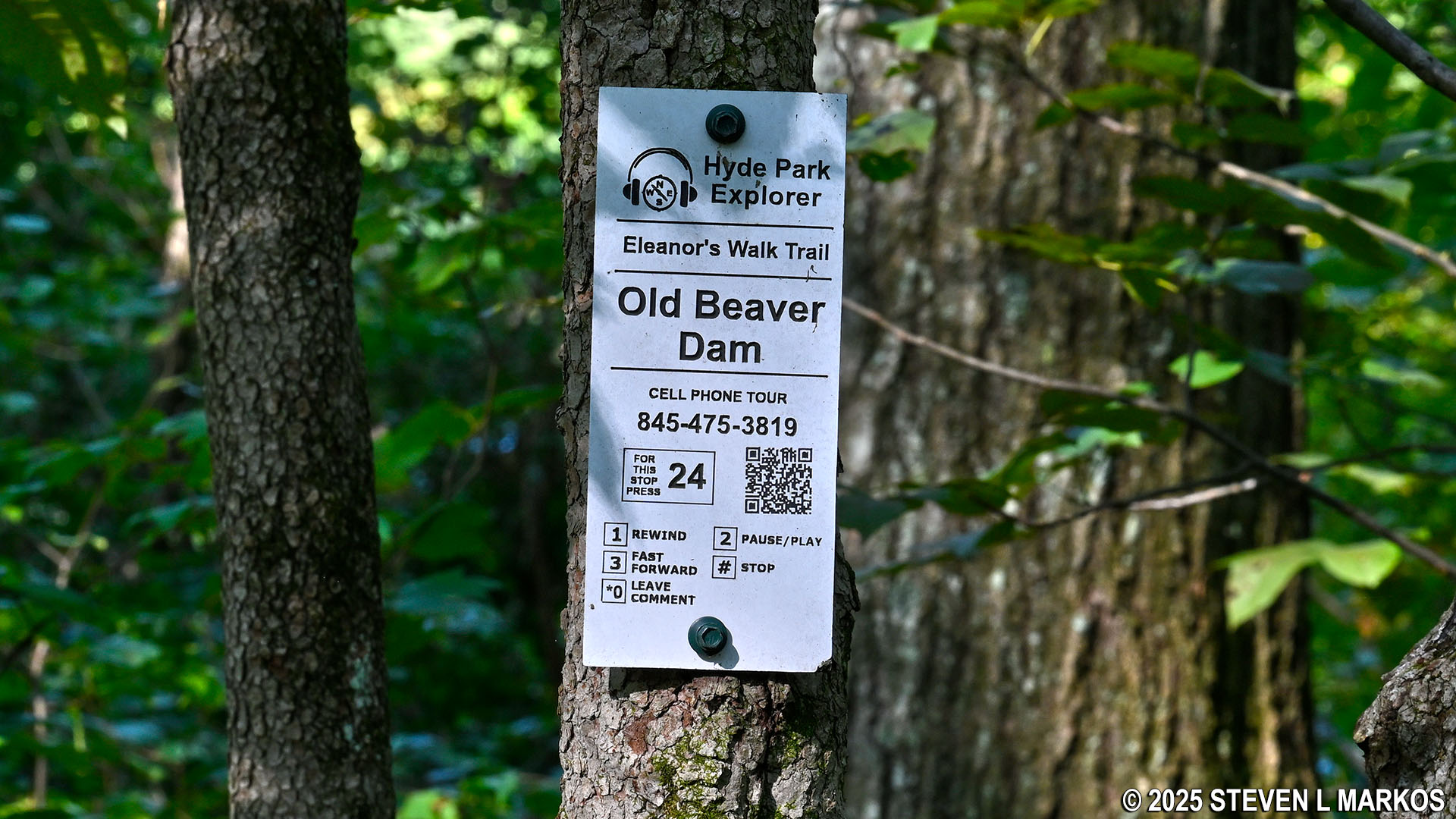
Placard for the Eleanor’s Walk audio tour, Eleanor Roosevelt National Historic Site
The trailhead is a common starting point for both Eleanor’s Walk and the Top Cottage Trail. About a hundred yards from the start is a fork, with the Top Cottage Trail heading to the left and Eleanor’s Walk to the right.
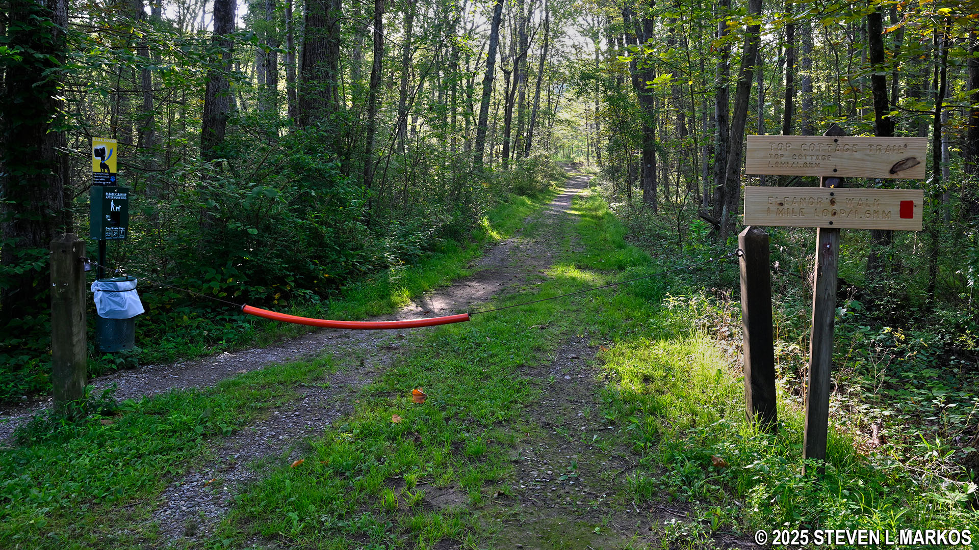
Start of the Top Cottage Trail and Eleanor’s Walk at Eleanor Roosevelt National Historic Site
Split between the Top Cottage Trail and Eleanor’s Walk, Eleanor Roosevelt National Historic Site
Once turning right at the fork, it is another 100 yards to another fork, this one being the start of the loop. The overall layout of Eleanor’s Walk is that it proceeds up and over a steep hill. If you have bad knees and prefer walking up steep hills, take a right and go around in the counterclockwise direction. Those people who would rather walk down steep hills should take a left. There is much more uphill hiking in this direction, but the ascent isn’t nearly as steep as when hiking in the counterclockwise direction. I took a right, and this report is written from that perspective.
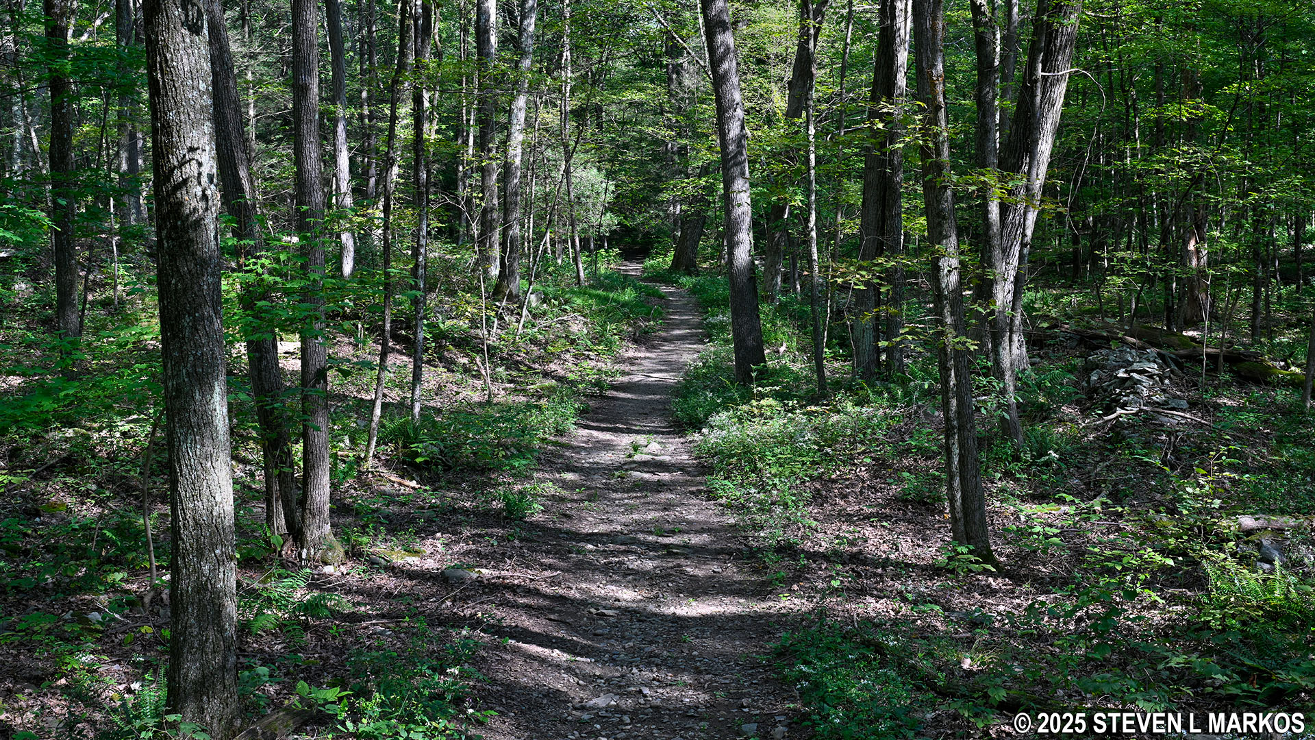
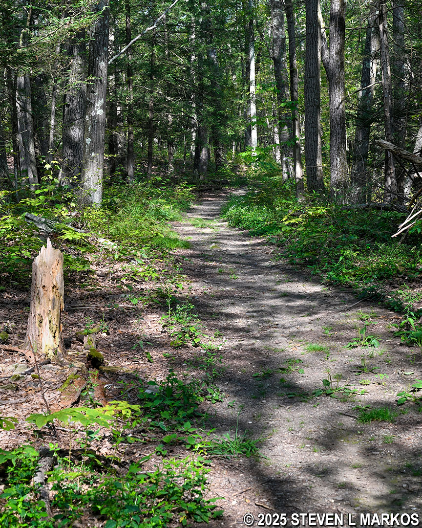
While eventually heading up and over a large hill, the first quarter mile of Eleanor’s Walk is relatively flat. It supposedly follows the path of an old road, so most of it is quite wide. It’s like walking around the neighborhood on a golf cart path.
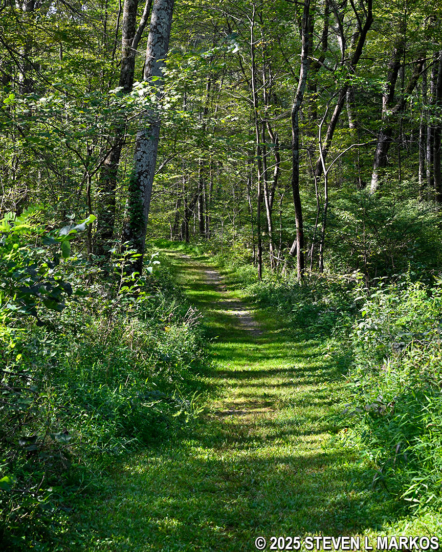
Typical terrain on the first quarter mile of Eleanor’s Walk, Eleanor Roosevelt National Historic Site
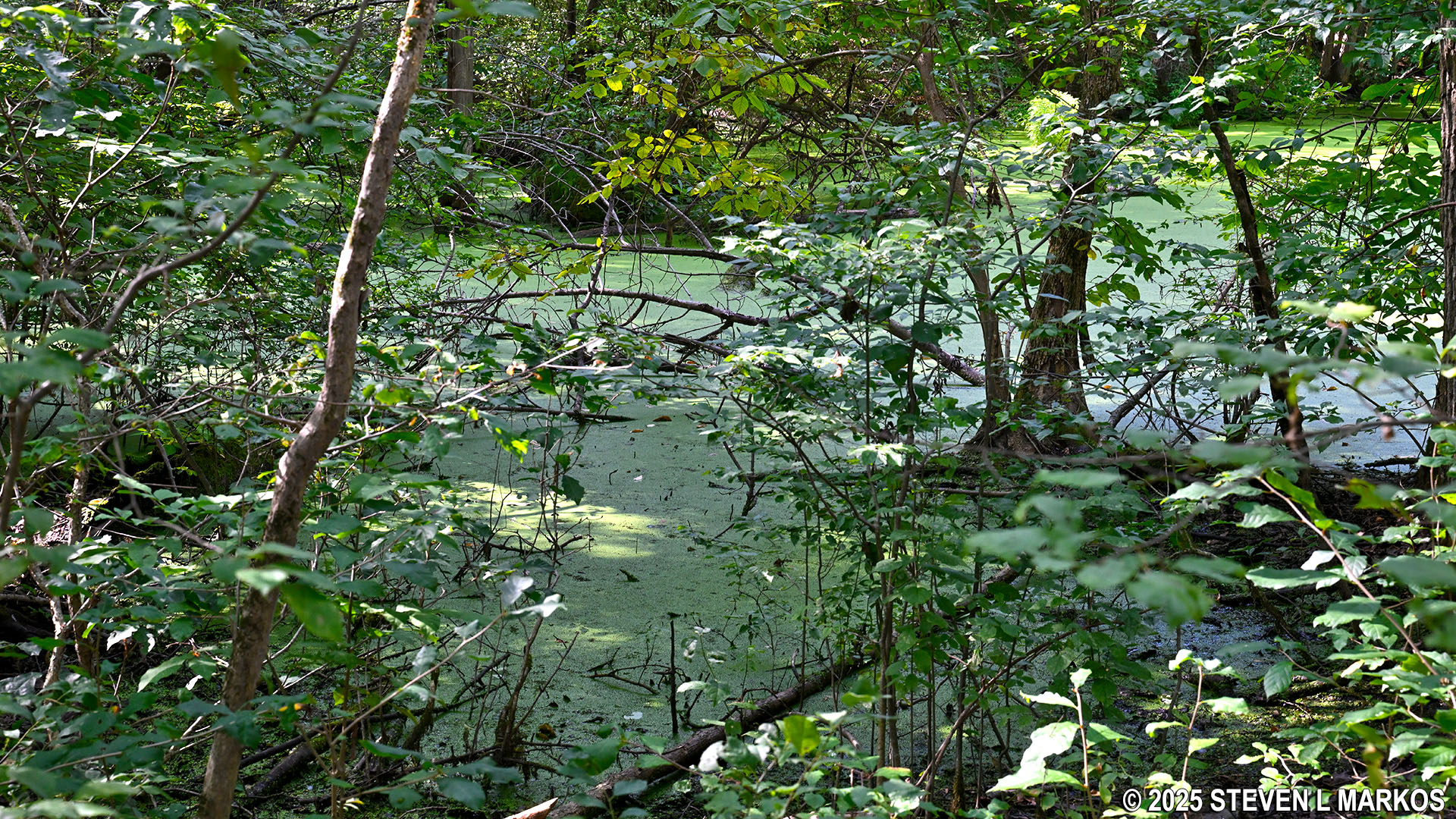
Just prior to when the terrain gets hilly is a body of water known as the Old Beaver Dam Pond. This is a wetland area, and the pond was actually created by beavers damming Fall Kill, the creek that runs through the park. Don’t expect to see any beavers, for they had been hunted to extinction from this area even before the Roosevelts arrived in the late 1800s. There is a side trail to the pond, but unfortunately it was very overgrown when I visited, and it looked like the type of environment where ticks like to hide. I walked down a short ways and was able to get a photo of the water through the leaves, but I wasn’t about to walk any farther just for a better look.
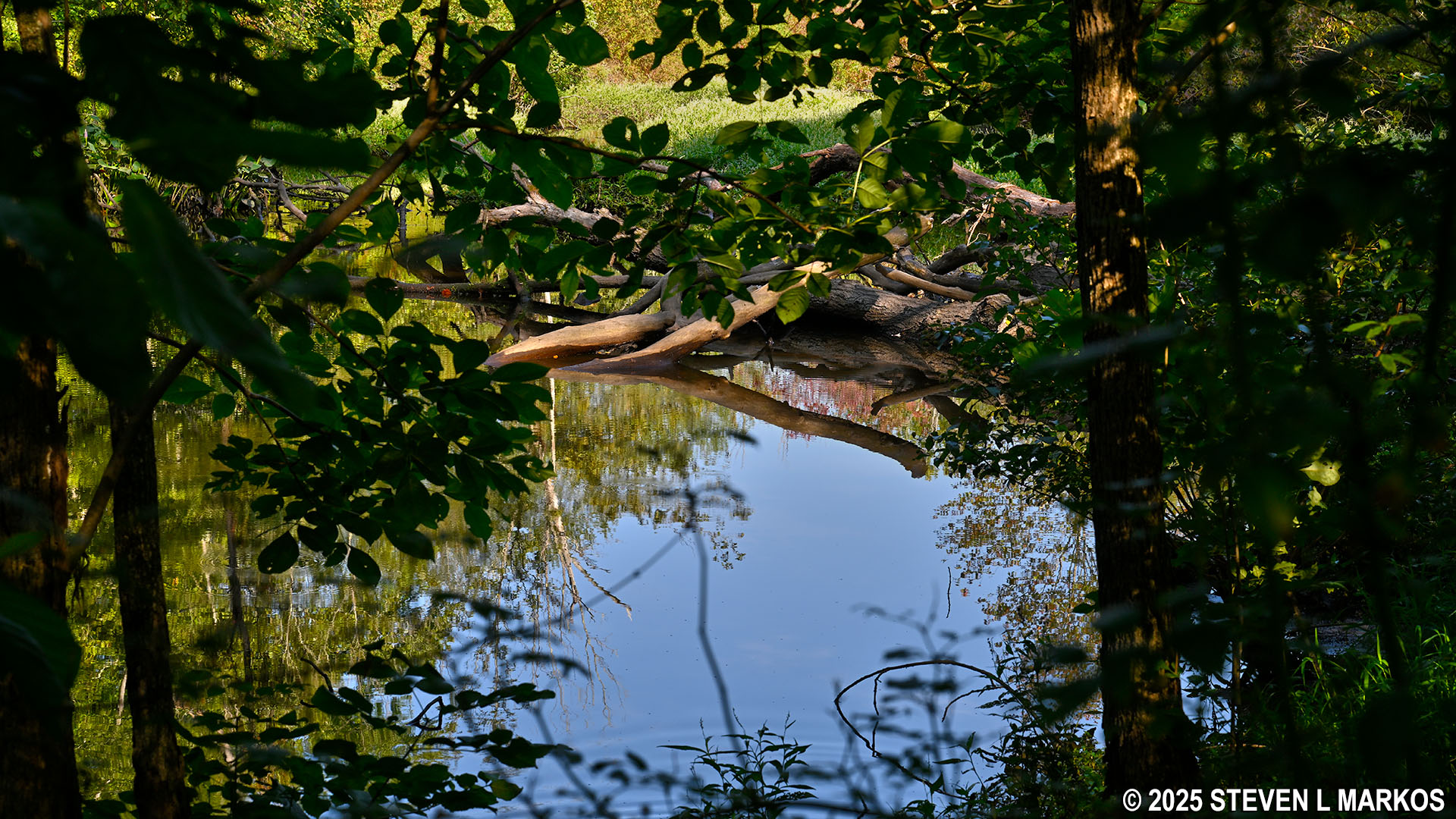
Glimpse of the Old Beaver Dam Pond along Eleanor’s Walk, Eleanor Roosevelt National Historic Site
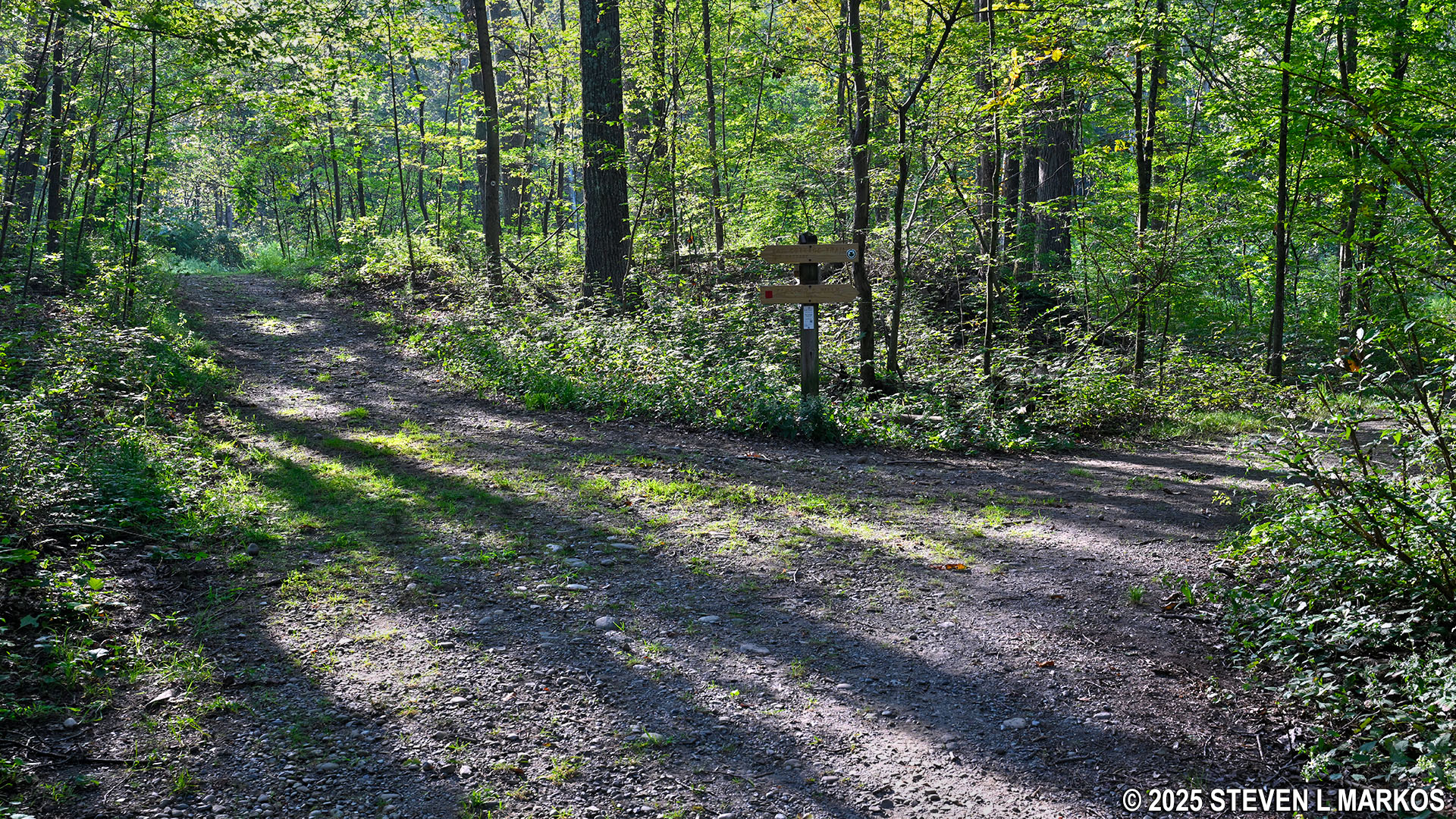
Just beyond the pond, a path of some sort cuts across the trail. It is not another hiking trail and appears to be something more along the line of a path for maintenance, perhaps something following a sewer or underground wires. Eleanor’s Walk, which narrows considerably at this point, continues straight, but it is a little confusing because this intersection is not on the trail map (available at the Visitor Center).
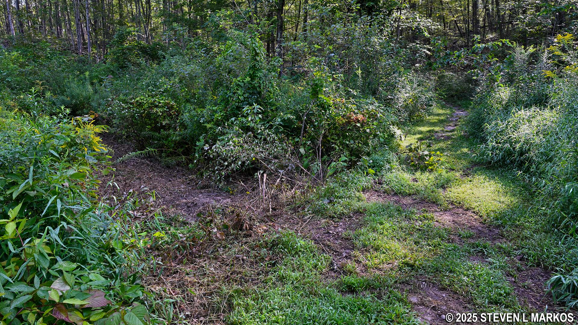
Unmapped intersection on Eleanor’s Walk just east of the Old Beaver Dam Pond, Eleanor Roosevelt National Historic Site
The steep hill starts at the unmapped intersection. It is a little over .1 mile to the top, and the average grade is right at 15%, which is considered the start of strenuous hiking. The trail surface also goes from smooth and easy to walk on to being covered with small rocks.
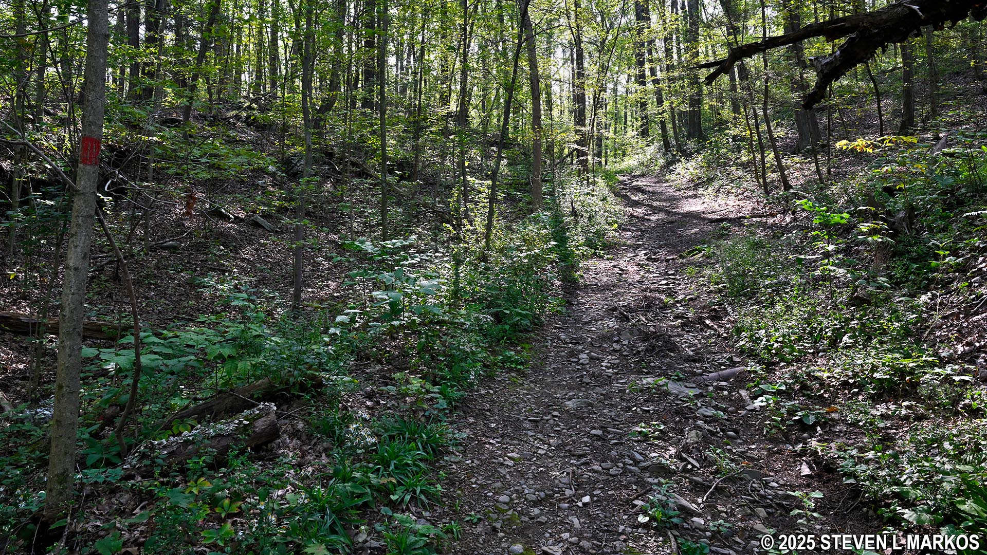
Hilly terrain near the midway point on Eleanor’s Walk, Eleanor Roosevelt National Historic Site
At the top of the hill is another pond, this one covered with green algae when I visited in August. Unlike the Old Beaver Dam Pond, there is no path to the shore and no way to get a decent view.
Pond at the top of the steep hill on Eleanor’s Walk, Eleanor Roosevelt National Historic Site
The rest of the hike is pretty much downhill. While there are some steep sections, most of the descent is gradual. There is a .1-mile downhill stretch followed by a .1-mile level stretch, and then a second downhill hike of .2 mile. The steepest segments on the hills have average grades of no more than 15%, and such segments last for less than a hundred feet. Also, other than one rough section where I almost twisted my ankle twice, the downhill section of Eleanor’s Walk is much wider and has a much smoother surface than the trail up the other side of the hill.
Typical terrain on the hilly northern side of the Eleanor’s Walk loop trail in Eleanor Roosevelt National Historic Site
The bottom of the hill is exactly at the point where the loop begins. Once at the intersection, take a right to get back to the parking lot. If you want some more exercise and haven’t seen Top Cottage, hop onto the Top Cottage Trail at the next intersection. It is a 2-mile round trip hike to the cottage and back on terrain similar to that on Eleanor’s Walk.
With a few exceptions, use of any photograph on the National Park Planner website requires a paid Royalty Free Editorial Use License or Commercial Use License. See the Photo Usage page for details.
Last updated on May 2, 2025


