
Lock 30 on the Chesapeake and Ohio Canal
Lock 30 is located in downtown Brunswick, Maryland, at Mile 55 on the C&O Canal towpath. See the Locks and Lockhouses web page for an interactive location map.
Finding Lock 30 is a little tricky. From the Chesapeake and Ohio Canal National Historical Park’s Brunswick Visitor Center at the corner of West Potomac Street and South Maple Avenue, take South Maple towards the Potomac River. What causes the confusion is that the road passes through what looks like a railroad yard, which certainly doesn’t seem like a place where you should be driving. Cross one set of railroad tracks, pass through a parking lot, and after passing a second set of tracks, take the first right you come to. This road runs parallel to the tracks and passes under the Petersville Road Bridge before curving around to a large parking area that can hold a dozen vehicles with trailers and another dozen vehicles only. The Lock 30 Picnic Area and Boat Ramp are also located here.
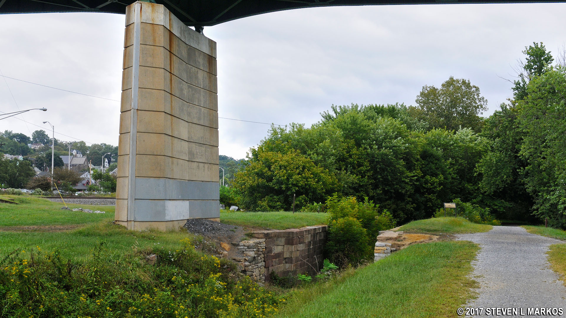
Lock 30 is next to one of the support columns for the Petersville Road Bridge. It is overgrown with small trees and other vegetation, and all that remains are the retaining walls—there are no wooden lock gates or gate hardware.
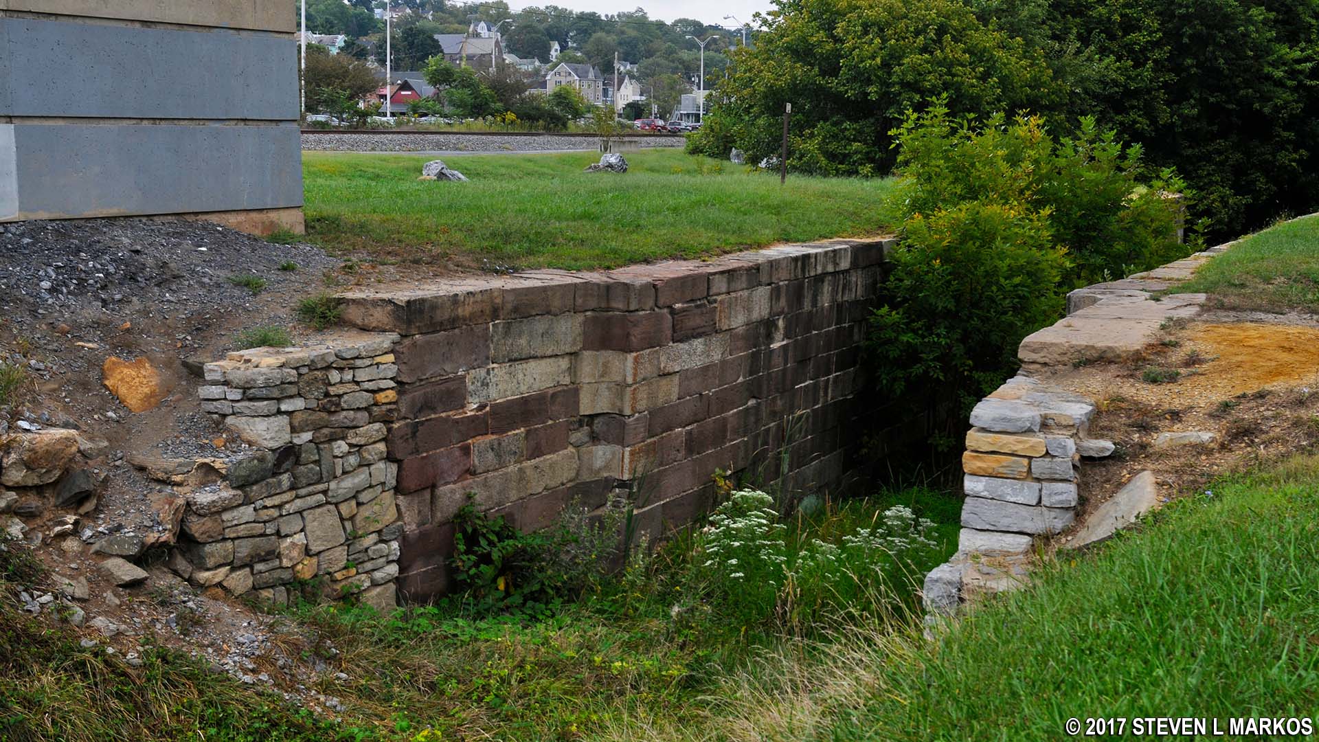
Downstream view of Lock 30 at Mile 55 on the Chesapeake and Ohio Canal towpath
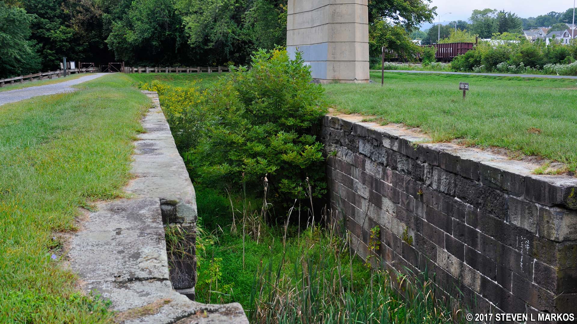
Upstream view of Lock 30 at Mile 55 on the Chesapeake and Ohio Canal towpath
With a few exceptions, use of any photograph on the National Park Planner website requires a paid Royalty Free Editorial Use License or Commercial Use License. See the Photo Usage page for details.
Last updated on June 11, 2024


