

Ford Mine Trail map (click to enlarge)
NOTE: Sections of the towpath, locks and other historical structures, trails, campgrounds, picnic areas, boat ramps, and visitor centers are constantly being closed due to damage and/or repair. When planning an adventure within Chesapeake and Ohio Canal National Historical Park, make sure that areas you plan to visit are open by checking the National Park Service’s official Current Park Conditions web page.
Length: 2.7-mile loop
Time: 2 hours
Difficulty: Easy to moderate with one strenuous hill
The Ford Mine Trail is a lollipop-shaped trail, meaning you walk out on a stick before getting to the loop portion of the hike. The National Park Service’s claim that the trail is 2.1 miles long does not consider the return trip along the stick, which makes the actual hike 2.7 miles.
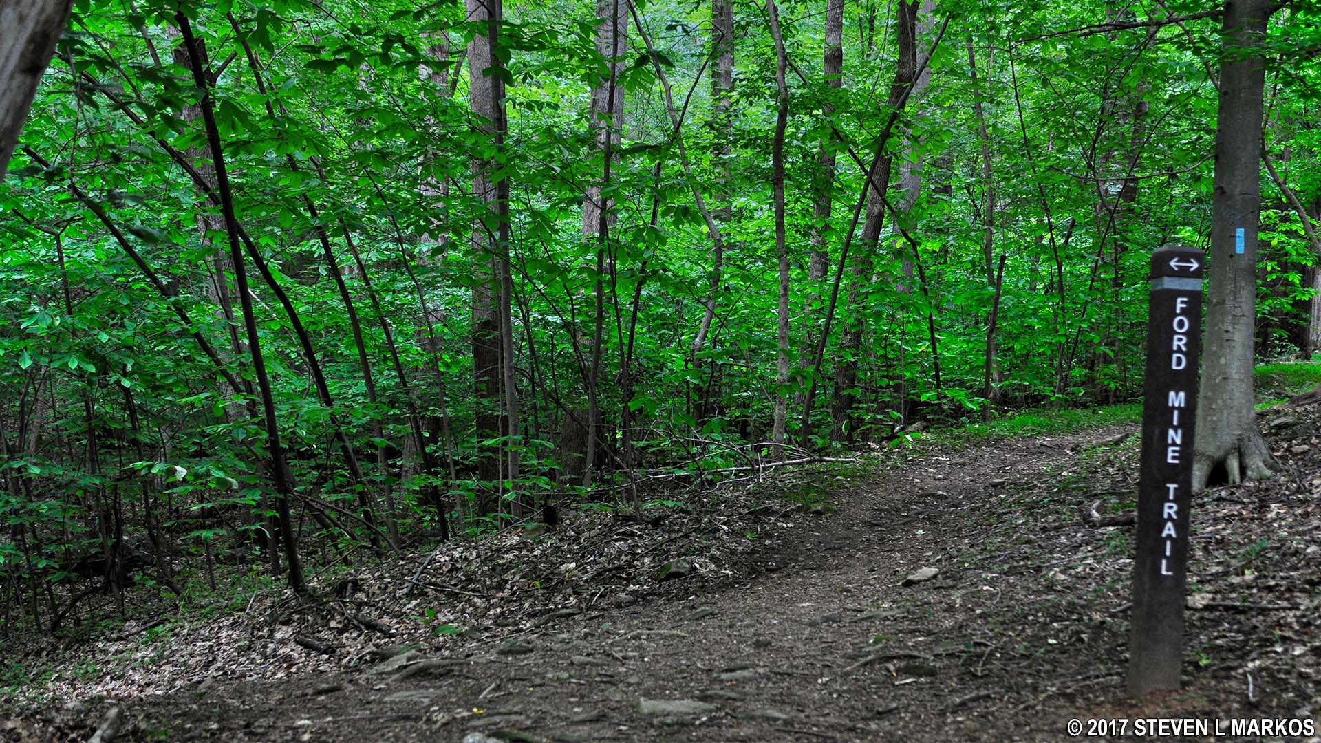
The trail starts at the far end of the last parking lot at the Great Falls Tavern area of Chesapeake and Ohio Canal National Historical Park. This is the parking lot farthest from the Great Falls Tavern Visitor Center. It is huge, so park as close to the trailhead as possible. Keep in mind that there is a fee to enter this section of the park.

Start of the Ford Mine Trail in the Great Falls Tavern area of Chesapeake and Ohio Canal National Historical Park
The Ford Mine Trail is situated along the opposite side of the C&O Canal from the towpath but only follows the canal for a short while before veering off into the forest. The stick portion is wide and has a fairly smooth surface of clay and dirt. It runs for .6 mile before coming to the loop.

Typical terrain along the stick portion of the Ford Mine Trail in the Great Falls Tavern area of Chesapeake and Ohio Canal National Historical Park
Once at the loop you can choose to hike around in a clockwise or counterclockwise direction. Keeping straight (counterclockwise) heads uphill, while taking a left (clockwise) heads downhill. Always looking for the easiest route, I decided to go left. However, it ultimately makes no difference which way you go as far as difficulty is concerned.
Start of the loop portion of the Ford Mine Trail in the Great Falls Tavern area of Chesapeake and Ohio Canal National Historical Park
There is a stream to cross at the bottom of the hill. If you have good balance, use the log across the creek, otherwise you can cross on stepping stones.

Creek crossing on the Ford Mine Trail in the Great Falls Tavern area of Chesapeake and Ohio Canal National Historical Park
I suspected the trail would level out at the bottom of the hill because, according to the map, it pretty much runs parallel to the canal at that point, and the canal is on level ground in this area. However, only a few short segments are actually within eyesight of the canal, so don’t expect a leisurely stroll along the water.

One of the few times the Ford Mine Trail runs right along the Chesapeake and Ohio Canal
Things do level out, and the trail once again becomes wide and flat like it was on the stick. The only difference is that the surface is now filled with rocks and roots that can trip you up if you aren’t paying attention.

Rougher terrain on the loop portion of the Ford Mine Trail in the Great Falls Tavern area of Chesapeake and Ohio Canal National Historical Park
The far end of the loop comes at 1.25 miles into the hike. The trail curves to the right and begins working itself away from the canal and up a long, moderate hill until coming to an intersection marked with a trail post. The Ford Mine Trail then takes a sharp right at this point, though the trail also continues straight. This is not on the trail map, so I have no idea where it goes.

Sign indicates that the Ford Mine Trail in the Great Falls Tavern area of Chesapeake and Ohio Canal National Historical Park continues to the right

Start of the eastward hike at the end of the Ford Mine Trail loop, Chesapeake and Ohio Canal National Historical Park
The terrain remains hilly, with many ups and downs like a roller coaster. Most hills are easy to moderate in difficulty, but there is one I would consider pretty steep. I hadn’t breathed hard prior to this, but this hill got me huffing and puffing.
At the 1.9-mile point on the hike, the trail comes to Cool Spring Branch but does not cross it because the creek lies at the bottom of a ravine that is too deep to cross without a bridge. To get around this, the trail turns east and begins following the creek away from the Potomac River for a tenth of a mile. As it works its way inland, the ravine becomes shallower and shallower until crossing the creek is only a matter of walking across without getting your feet wet. Of course you then have to hike back west to where you started, but now you are on the other side of the creek.

Ford Mine Trail in the Great Falls Tavern section of Chesapeake and Ohio Canal National Historical Park follows Cool Spring Branch

Cool Spring Branch in the Great Falls Tavern section of Chesapeake and Ohio Canal National Historical Park
Once you return to where you first encountered Cool Spring Branch, you are just about back to where the loop starts. Keep a lookout to your left for remnants of some sort of structure. You have to walk up a short hill to reach it. There is a pile of bricks and some blocks, but no signage identifying it. The trail takes its name from the Ford Mine, so I’m guessing this has something to do with the gold mine that operated in this area from the 1880s until 1921.

Bricks and stone blocks from a previous structure along the Ford Mine in the Great Falls Tavern section of Chesapeake and Ohio Canal National Historical Park
The Ford Mine Trail forks on the return trip along the stick portion of the trail just before you get to the parking lot. This was not evident on the way out due to the angle at which the two trails merge, but is now quite obvious. Regardless of which fork you take, you will get back to the parking lot. I saw some large sewer-like pipes to the left and decided to check it out. This led to a field of cut stones, some with rebar in them. There were scraps of metal on the ground, a large hook, and even a modern-day concrete lane barrier. I’m not sure if this is left over materials from the canal days, the Ford Mine site, or a dumping ground for National Park Service garbage, but it’s all pretty cool if you like old-looking stuff.

Stone blocks near the stick portion of the Ford Mine Trail in the Great Falls Tavern section of Chesapeake and Ohio Canal National Historical Park

Pipes, stone blocks, and rusting metal near the stick portion of the Ford Mine Trail in the Great Falls Tavern section of Chesapeake and Ohio Canal National Historical Park

Old hook near the stick portion of the Ford Mine Trail in the Great Falls Tavern section of Chesapeake and Ohio Canal National Historical Park
Unless you are just out for exercise, there’s nothing worthwhile about the Ford Mine Trail. The remnants of the mine are so small that they are barely worth mentioning, and no telling what the stuff was at the end of the trail. Try the River Trail for a leisurely stroll with nice scenery, or any of the three Billy Goat Trails (A, B, and C) if you are looking for something more serious.
With a few exceptions, use of any photograph on the National Park Planner website requires a paid Royalty Free Editorial Use License or Commercial Use License. See the Photo Usage page for details.
Last updated on February 18, 2026


