

Compound Mound Group Trail Map (click to enlarge)
Length: 3.2 miles (round trip to and from Hwy 76)
Time: 2 hours with time to explore
Difficulty: Mainly easy with a very steep hill from Hwy 76 to the top of the plateau
The trails in the South Unit of Effigy Mounds National Monument start on the other side of Highway 76 from the parking lot. There are numerous destinations in the South Unit, but this trail report only covers the hike to the Compound Mound Group.
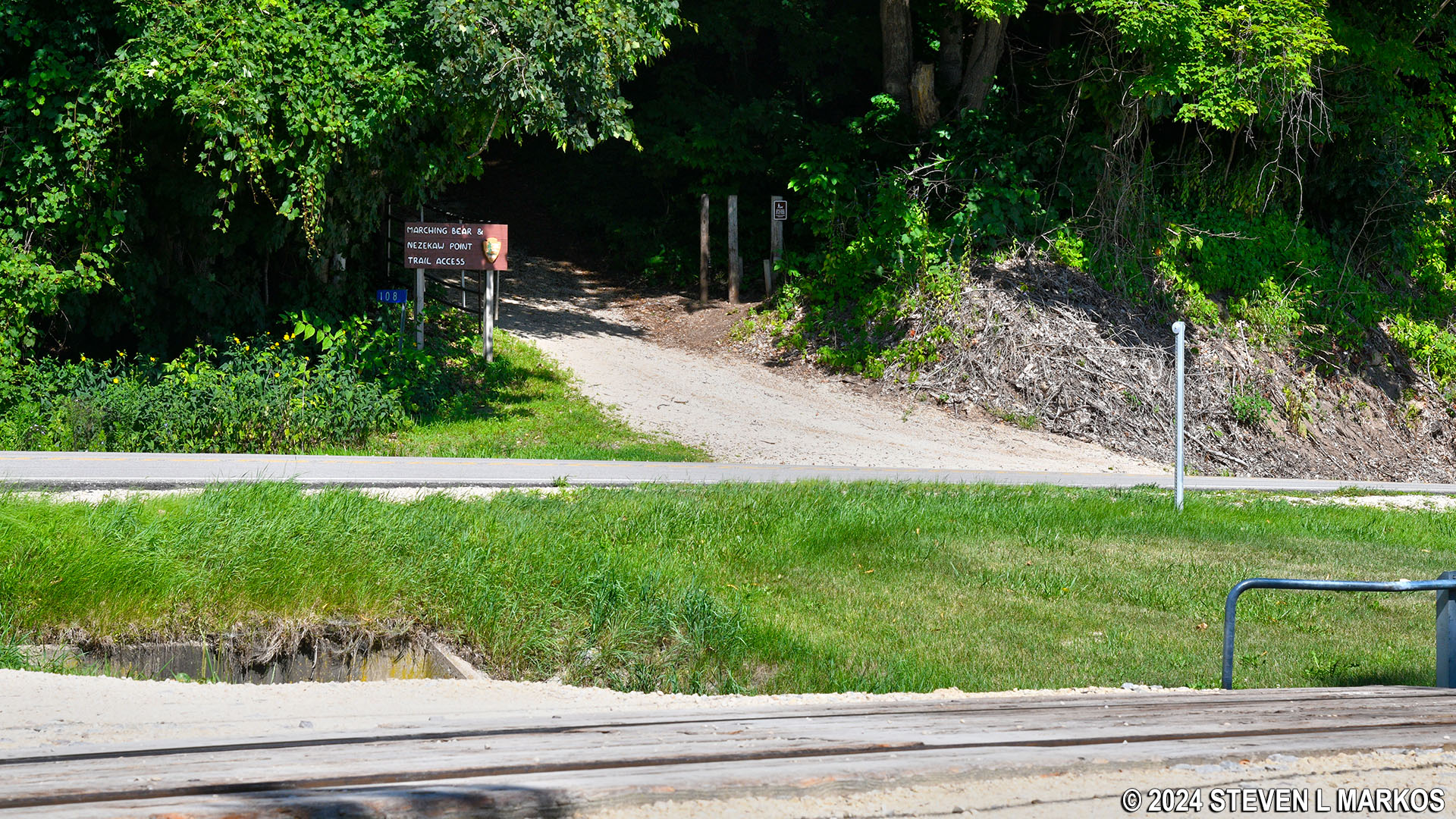
Entrance to the South Unit trails at Effigy Mounds National Monument
On the way to the Compound Mound Group you will see one conical mound, one bear-shaped effigy mound, and one bird-shaped effigy mound. The Compound Mound Group itself consists of seven conical mounds connected together by linear mounds. The conical mounds are the oldest in the park, dating as far back as 2,500 years ago. Linear mounds were built sometime between 300 and 750 AD. The compound mound era is thought to have come between conical and linear mounds, perhaps as a transition from conical to linear mound building. Effigy mounds—mounds in the shape of an animal—are the newest, having been built between 600 and 1200 AD. This type of mound was only built by Indians in the upper Midwest: northeastern Iowa, southern Wisconsin, northern Illinois, and southeastern Minnesota. While Indians continued to build mounds up until around 1700, the construction of effigy mounds abruptly stopped, like a fad coming to an end.

Types of mounds at Effigy Mounds National Monument
All points of interest in the South Unit are at the top of a plateau, and Highway 76 is at the bottom. It is a .4-mile uphill climb to the top on a gravel road. The average grade of the hill is 11% (15% is where strenuous hiking begins), but it is very steep at the beginning and just before the top (grades as steep as 31%). Needless to say, this first segment of the hike is at least moderate in difficulty and may border on strenuous for some people.
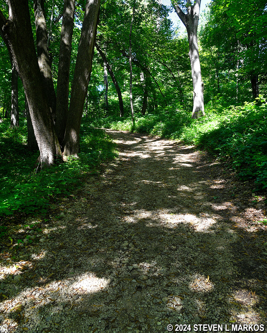
Hill from Hwy 76 to the top of the plateau at the South Unit of Effigy Mounds National Monument
The trail forks at the top of the hill, with a right heading towards the Founders Pound Overlook and Nezekaw Point (see the Hike to Nezekaw Point trail report for details). A left sets you off hiking south towards the Compound Mound and Marching Bear groups, which is where you want to go on this hike. There is a directional sign at the fork.
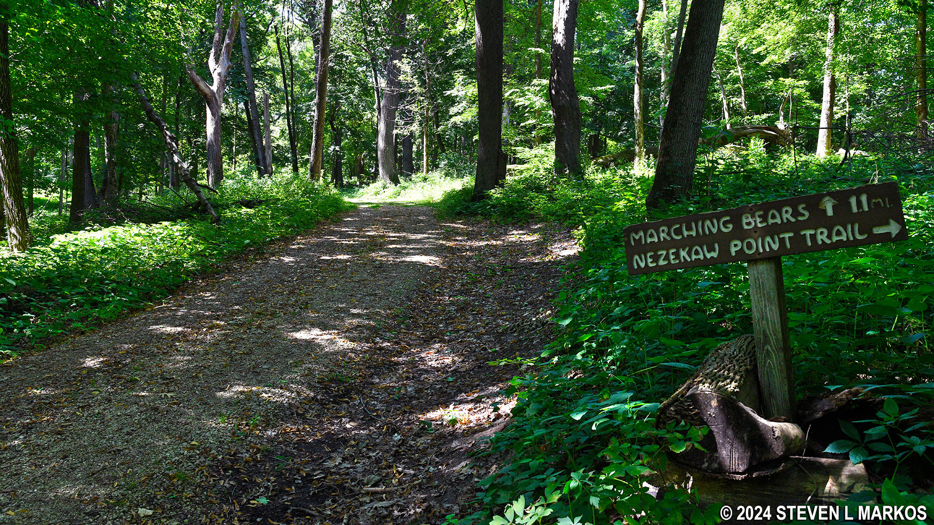
Trail to the Compound Mound and Marching Bear groups in the South Unit of Effigy Mounds National Monument
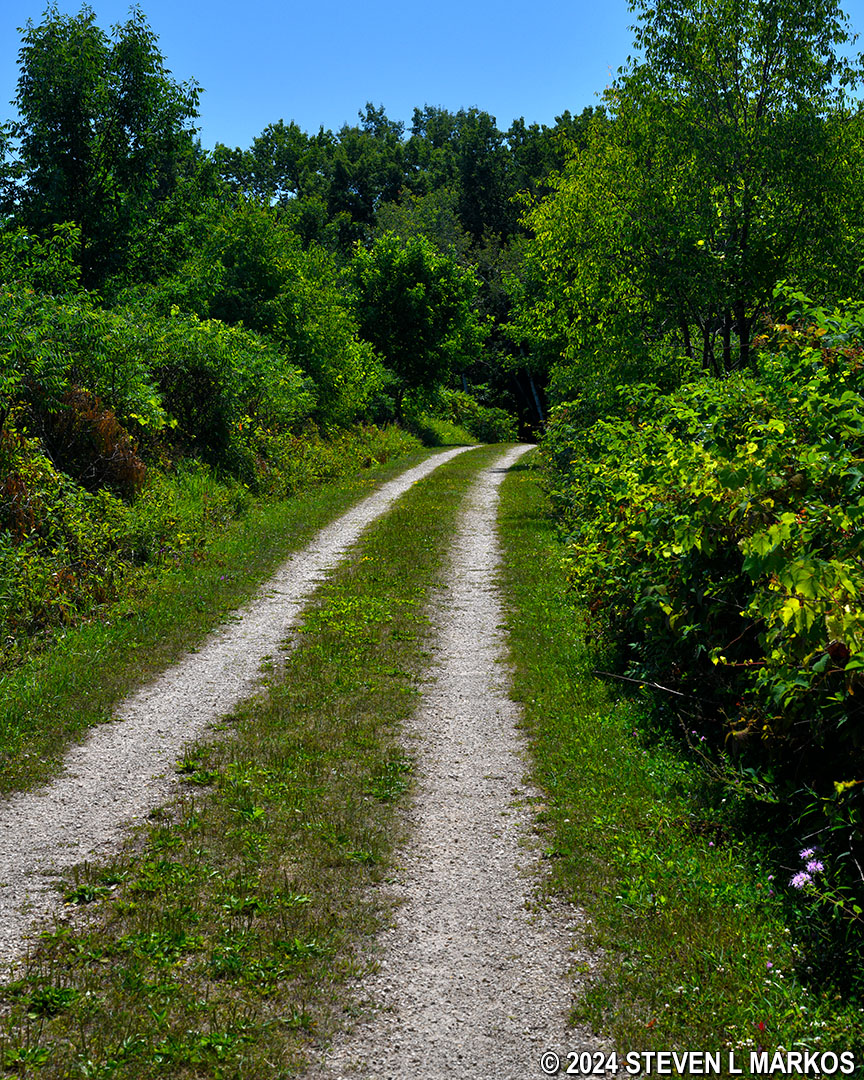
The trail remains a dirt road all the way to the turnoff for the Compound Mound Group .6 mile away. The overall trajectory of the trail is uphill, but the ascent is so gradual that you might as well be walking on flat ground.
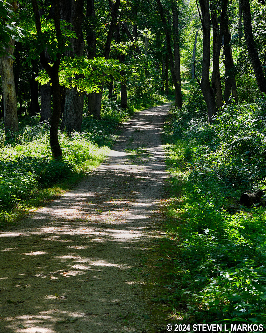
Dirt road to the Compound Mound and Marching Bear groups in the South Unit of Effigy Mounds National Monument
Four tenths of a mile from the fork is a grass side trail that is not on the map. What is on the map is a dot along the side of the trail that represents a conical mound, but the mound is actually a hundred feet down the side trail. Conical mounds in this area of Iowa were typically two to eight feet tall and ten to twenty feet in diameter. This mound barely registers as a hill, a good example of what erosion has done to the mounds over time.
Conical mound along the trail to the Compound Mound Group in the South Unit of Effigy Mounds National Monument
Most of the conical mounds at Effigy Mounds National Monument are burial mounds. However, there are no remains in the actual dirt hill. The deceased were buried in the ground, and the mound was built on top of the burial site. What the mound represents is unknown, but perhaps it is similar to a tombstone or designed to prevent others from looting or disturbing the graves.

Anatomy of a burial mound
The dirt road emerges from the forest and into the open just past the conical mound. It is not worth applying sunscreen because the turnoff for the Compound Mound Group is only .2 mile ahead, and while not in the forest, the Compound Mound Group trail does get a good bit of shade. The mounds themselves get more sun, but overall you won’t be in the direct sunlight that often.
Dirt road to the Compound Mound and Marching Bear groups in the South Unit of Effigy Mounds National Monument
The trail to the Compound Mound Group is a grass path. There is no sign identifying the turn, but it is the first left since the start of the hike along the top of the plateau.
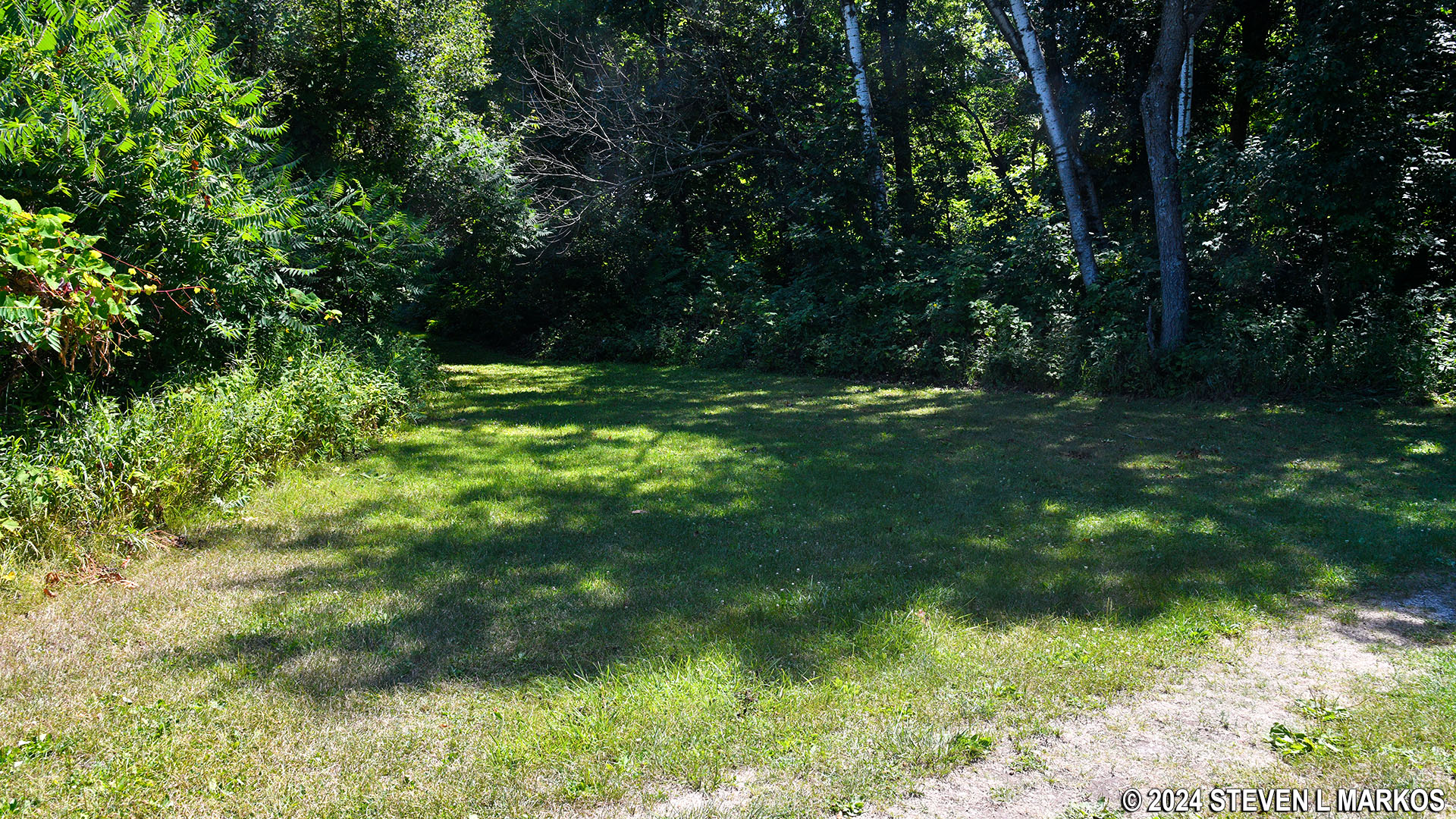
Turnoff from the main trail to the Compound Mound Group in the South Unit of Effigy Mounds National Monument
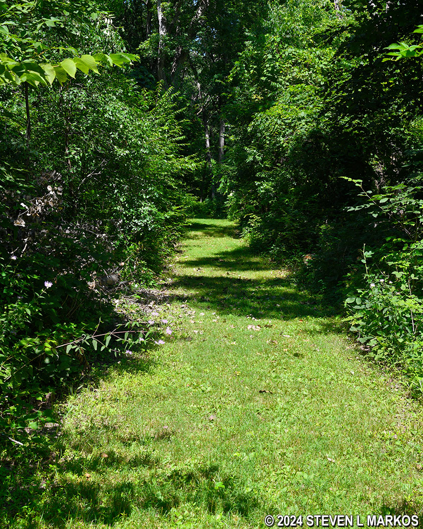
Grass trail to the Compound Mound Group in the South Unit of Effigy Mounds National Monument
The trail starts off downhill on a gradual slope that continues for .3 mile. At the bottom is a bear effigy mound. Like all mounds in the park, it has been so whittled down by erosion that it is barely noticeable. To make visualization easier, the National Park Service mows the grass around the mounds and allows the grass on top of them to grow tall so that the shapes are more defined. Furthermore, the shapes (bears and birds in Effigy Mounds National Monument) are nearly impossible to discern from ground level due to their size. You really need to be up in a tree or flying overhead in a helicopter. Of course that leads to the question as to why the Indians would have gone to all the trouble to build effigy mounds that can only be seen from the sky. The most obvious guess is so that the gods could see them, but since there is no written record, the answer will never be known for sure.
Bear effigy mound near the Compound Mound Group in the South Unit of Effigy Mounds National Monument
The trail heads up and over a small hill just past the bear. At the bottom is the start of a long stretch of mounds beginning with a bird effigy. As with the bear, it is very difficult to see that this is a bird—it is much larger than the bear mound. I could not get a photo that even came close to showing the shape.
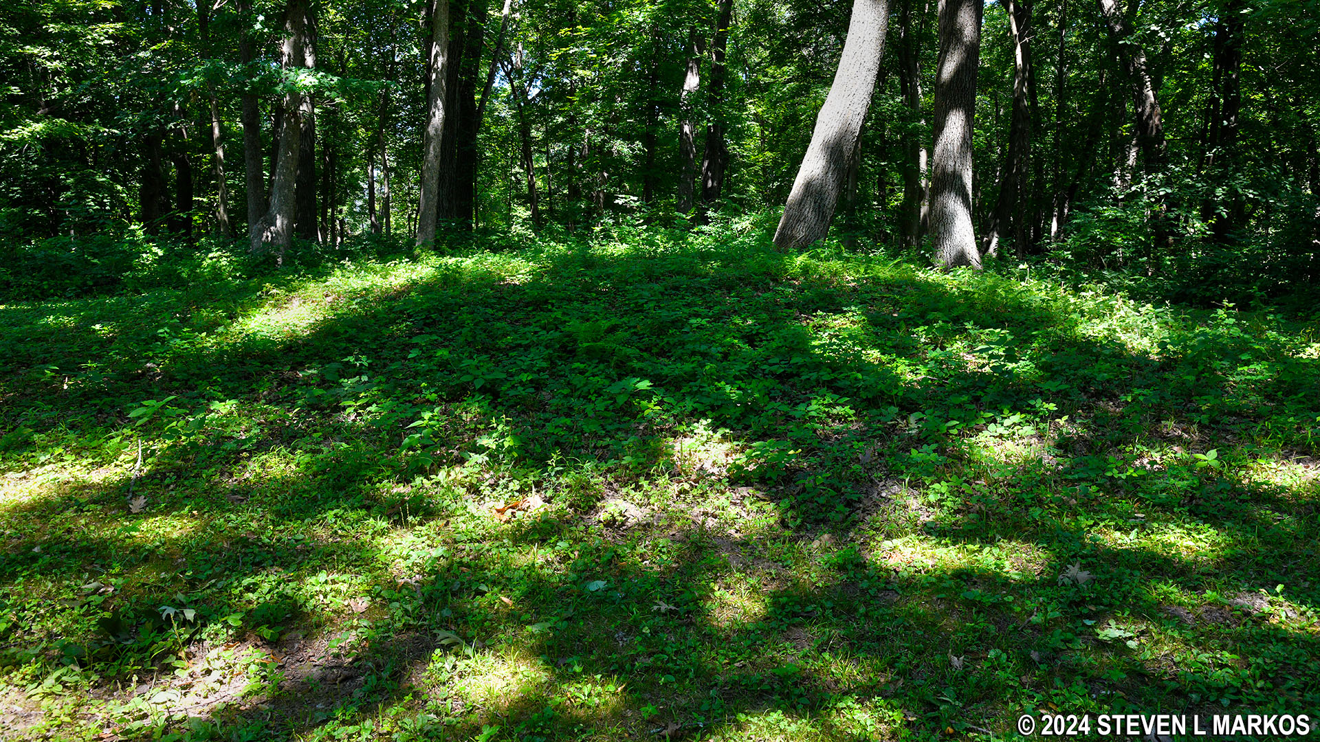
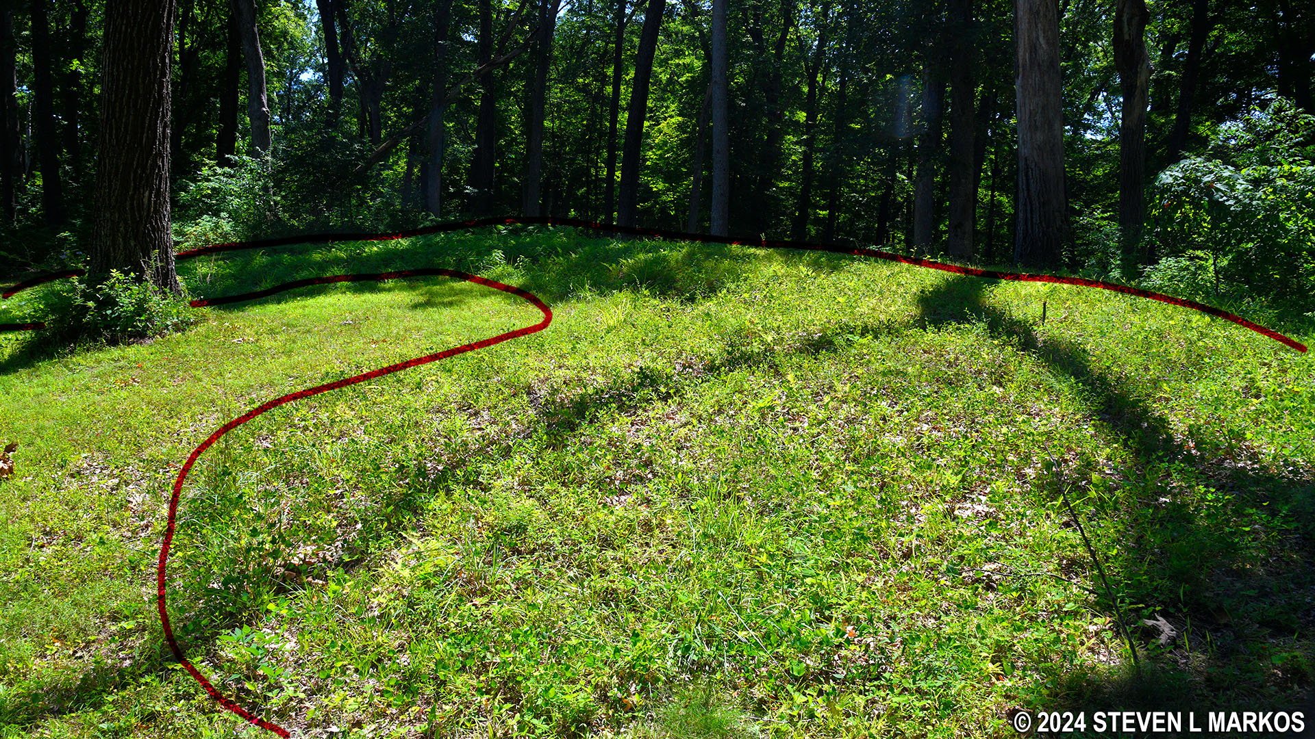
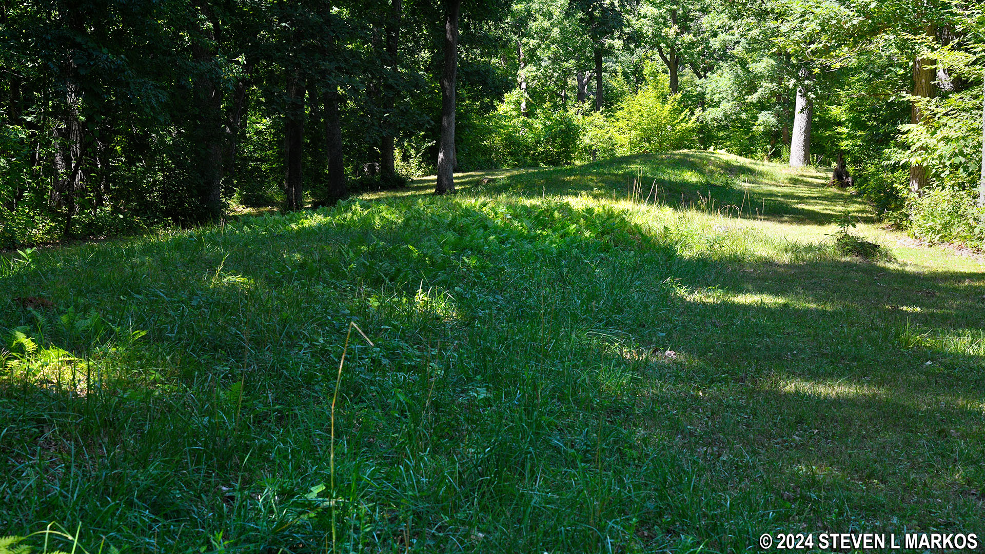
The grass path continues for a short distance beyond the bird before coming to the attraction’s namesake, the Compound Mound Group. This is the longest group of mounds in Effigy Mounds National Monument at over 400 feet in length. Yes, you can see it. It is a small hill that runs down the middle of a field between the trees of the forest. When originally built, there would have been a serious of seven conical mounds connected together by linear mounds. However, after years of erosion, the first four conical mounds have morphed into one, long linear mound.
Start of the Compound Mound Group in the South Unit of Effigy Mounds National Monument
If you continue to walk farther down the trail and along the mounds, you can make out the last three conical mounds with dips between them. It is easier to see the gaps in person than it is in photographs.

Last three conical mounds of the Compound Mound Group in the South Unit of Effigy Mounds National Recreation Area
By the way, all of the mounds in the park were eventually consumed by the forest. Archeologists and the National Park Service had to clear the trees so that they could be seen. Tree stumps are a common sight. I was about to climb up on one to get a photo when I saw a snake coming out of the stump.

Snake in the South Unit of Effigy Mounds National Monument
Once done at the mounds, turn around and hike back to the dirt road. From there you can take a right and return to the parking lot or a left and continue on to the Marching Bear Group where you can see ten bears, two birds, and a couple of linear mounds. There is also a side trail that leads to more linear and conical mounds. Is it worth the trip? If you are an archeologist or anthropologist; a person who is highly interested in Indian mounds; or just looking for exercise, yes. If you are anyone else, as far as mounds go, if you’ve seen one bear and bird effigy mound, you’ve seen them all.
For those who want to continue, be sure to read the Hike to the Marching Bear Group trail report here on National Park Planner. The report picks up where this one leaves off.
With a few exceptions, use of any photograph on the National Park Planner website requires a paid Royalty Free Editorial Use License or Commercial Use License. See the Photo Usage page for details.
Last updated on June 1, 2024


