

Southeast Mound at Ocmulgee Mounds National Historical Park
HIKE TO THE OCMULGEE MOUNDS AND HISTORIC SITES
Stop 9: Southeast Mound

Hiking route to all Ocmulgee mounds and historic sites (click to enlarge)
After hiking the River Trail (Stop 8), continue east on the Opelofa Trail to reach Southeast Mound.
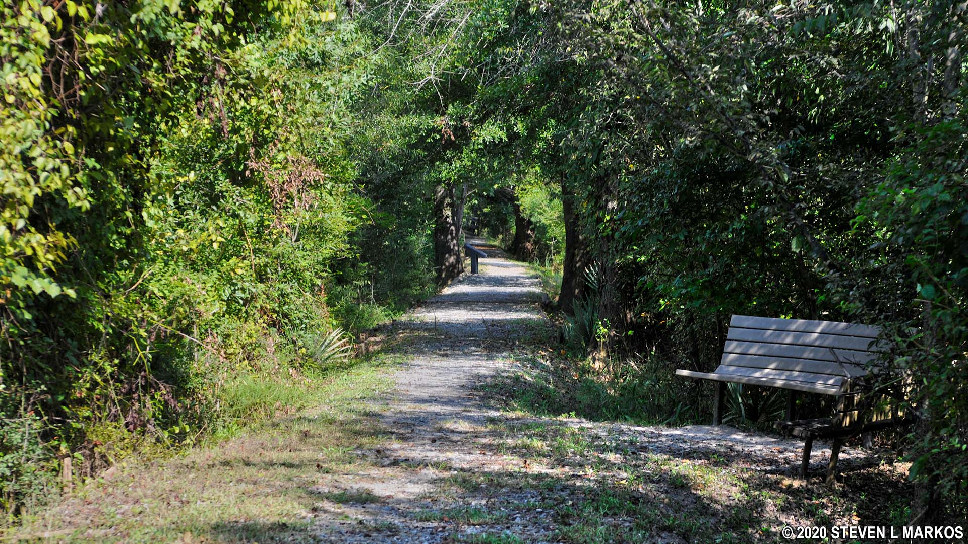
Opelofa Trail at Ocmulgee Mounds National Historical Park
To your left is a small swamp area where an alligator lives, or at least that’s what the park Ranger said. I sat on the bench along the trail to have a snack and looked carefully over the water, but I did not see anything.

Walnut Creek Wetlands at Ocmulgee Mounds National Historical Park
As you hike the Opelofa Trail, you will be traveling along Walnut Creek and through the Walnut Creek Wetlands.

Walnut Creek flows through Ocmulgee Mounds National Historical Park
In no more than ten minutes you will come to another loop trail that branches off the main trail, this one a mere .25 mile around. There are two trailheads within eyesight of each other, one marked with a small, brown sign with a hiker on it and the other with trail distances. It makes no difference as to which trailhead you start out on, as the other is the end point of the loop. Like the loop trail near Funeral Mound, it adds nothing to the Ocmulgee Mounds National Historical Park experience, and taking all of ten minutes of your time, it doesn’t even give you a workout. Unless you simply must hike all of the trails, I suggest skipping this and continuing on to the last mound on the hike, the Southeast Mound.
If the Dunlap, McDougal, and Cornfield mounds underwhelmed you, all of them are Great Temple Mounds in comparison to the Southeast Mound, or what remains of it. This wouldn’t even make for a good sledding hill. Spend a few minutes reading the wayside exhibit, then begin your walk back to the Visitor Center.

Southeast Mound at Ocmulgee Mounds National Historical Park is today no larger than a small hill
The walk back to the Visitor Center takes about 15 minutes and follows the Bartram Trail. It entails a short walk along the main park road and passes under a historic railroad bridge, one of the few built from brick. Shortly after going under the bridge, look to your left for the trailhead back into the woods. The Visitor Center is a short walk from here. The trail comes out on the far side of the parking lot.

Rare brick railroad bridge on the road back to the Ocmulgee Mounds National Historical Park Visitor Center
Previous Stop | Main Hiking Page
With a few exceptions, use of any photograph on the National Park Planner website requires a paid Royalty Free Editorial Use License or Commercial Use License. See the Photo Usage page for details.
Last updated on March 17, 2025


