
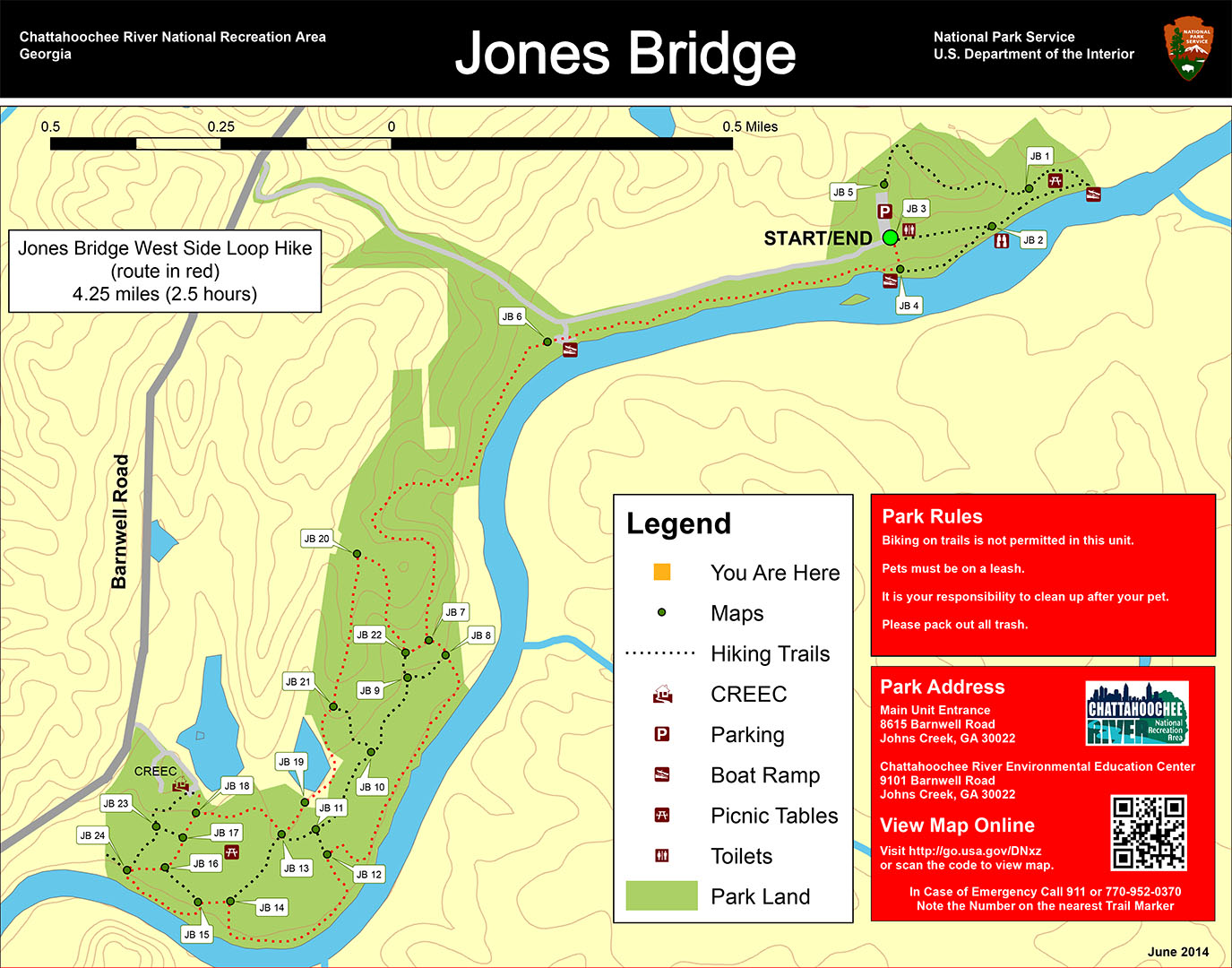
Jones Bridge West Side Loop Hike map (click to enlarge)
Length: 4.25-mile loop
Time: 2.5 hours
Difficulty: Moderate, mainly flat with two very steep hills
Download the Jones Bridge West Side Trail Map (PDF)
A loop hike around the west side of the Jones Bridge Unit of the Chattahoochee River National Recreation Area starts at the main parking lot located at the very end of the park road. Take the trail at intersection JB 3 (see the trail map for intersection reference points). Just follow this for 200 feet until it dead ends into the main hiking trail at intersection JB 4.
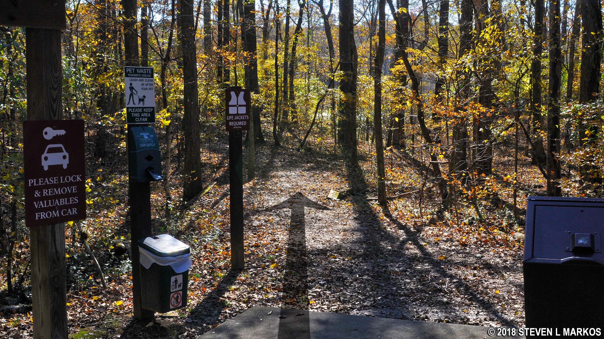
Trailhead at JB 3 in the Jones Bridge unit of Chattahoochee River National Recreation Area
All intersections once had trail maps at them, but many of these in the Jones Bridge Unit have been vandalized. The National Park Service made the huge mistake of having trail maps printed onto 1/8″ plastic panels and bolted to sign posts. This leaves the left and right sides of the sign with no backing, making it the perfect target for scumbags to show off their karate chop and punching skills. As a result, some signs have been snapped in half, while others simply no longer exist. I normally suggest carrying a printed trail map with you, but with intersections being unmarked, you still won’t know where you are, printed map or no printed map (still bring one, as it’s better than nothing). In other park units the maps are in protective cases, and these have fared a lot better.
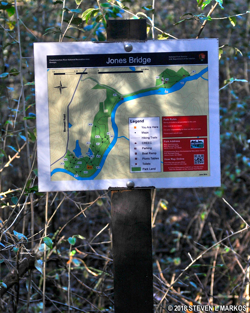
Trail sign in the Jones Bridge unit of Chattahoochee River National Recreation Area
The JB 4 trail sign is missing, but there is no mistaking this intersection, for it not only dead ends into the main trail, but there is also a canoe launch here.

Canoe launch at the JB 4 trail intersection in the Jones Bridge unit of Chattahoochee River National Recreation Area
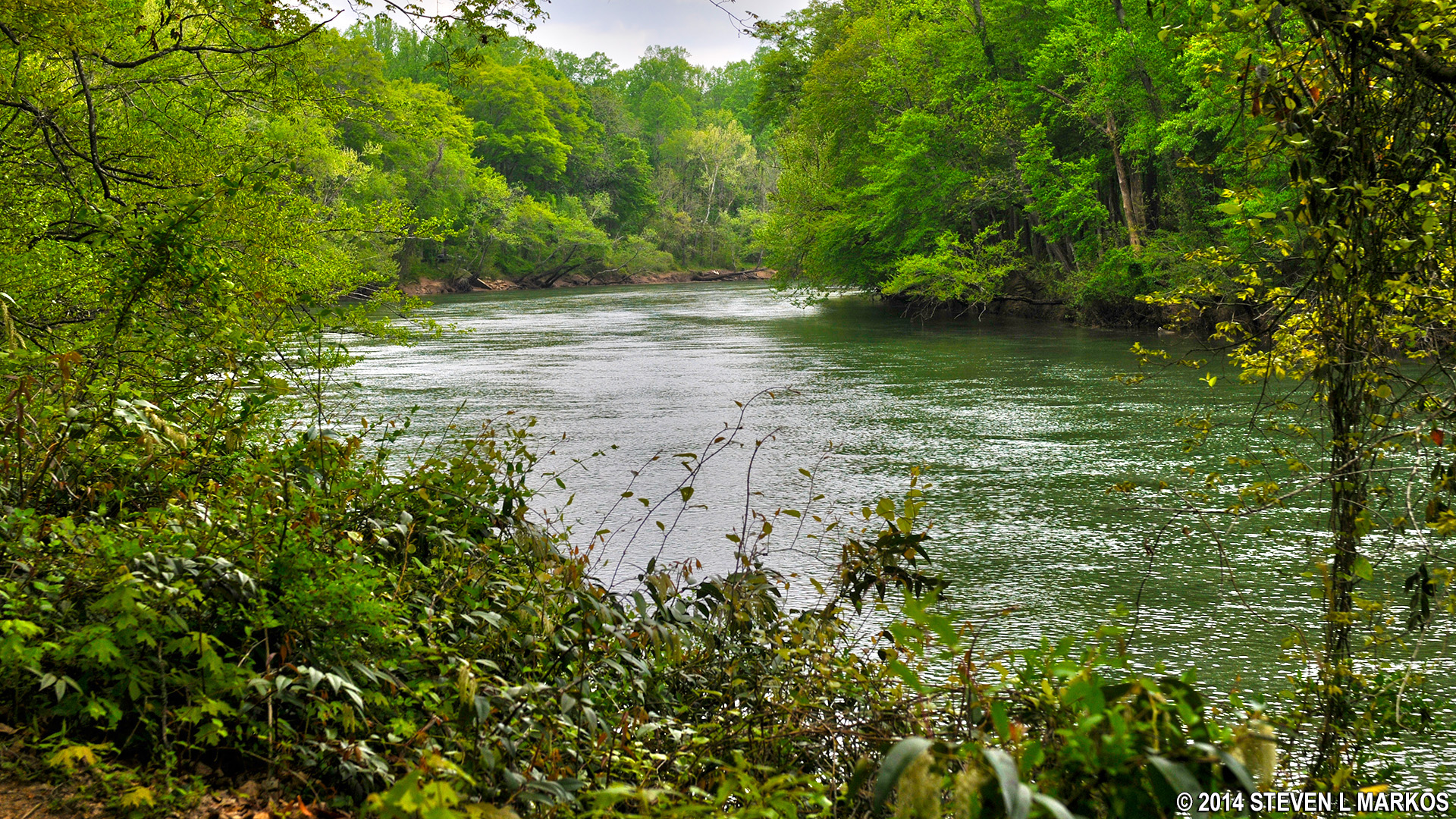
To hike the loop around the west side of the park unit, take a right at the intersection. It is a half-mile walk to the Jones Bridge Boat Ramp. The trail runs right along the Chattahoochee River, but unobstructed views of the water are rare due to trees and brush along the riverbank.
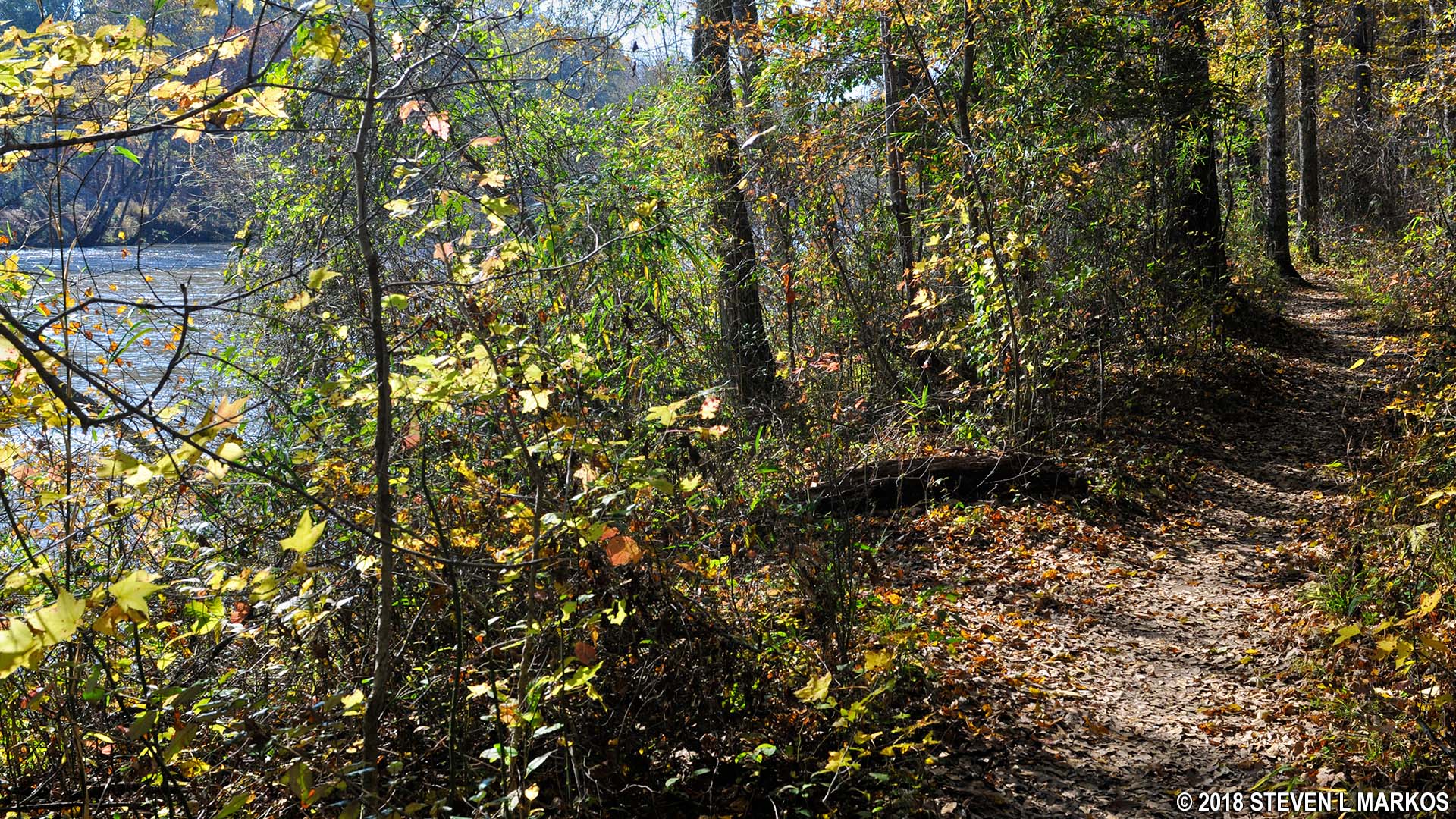
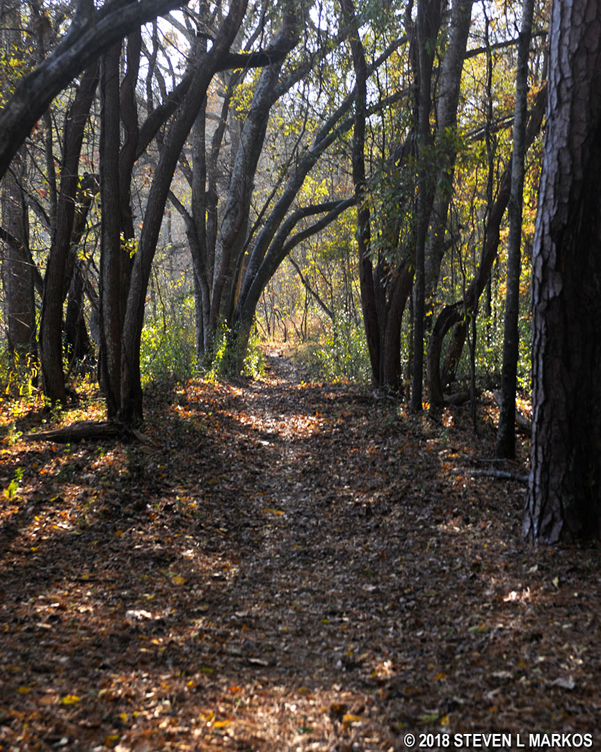
Typical terrain of the Jones Bridge Unit trails along the Chattahoochee River
I’m glad to see that the National Park Service has installed metal bridges over some of the creek crossings. Wooden bridges, while perhaps being more aesthetically pleasing in a natural setting, are just too much hassle to continually replace due to rot and storm damage.
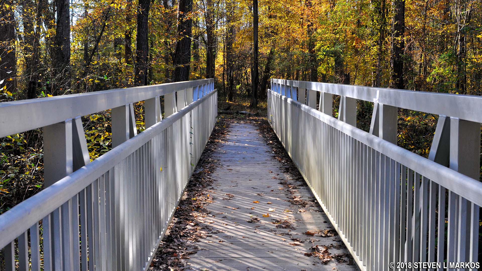
Metal bridge over one of the creeks between intersections JB 4 and JB 6 on the Jones Bridge Unit trail in Chattahoochee River National Recreation Area
Once past the boat ramp at JB 6, the trail continues to follow the river for about ten minutes, then turns inland. A set of stairs helps hikers up an extremely steep hill, one that reaches grades of 18% at some points (15% is where strenuous hiking begins). On the trail map, this is the C-shaped section between JB 6 and JB 7. The reason for this diversion from the riverbank is because the land along the river in this area is private.
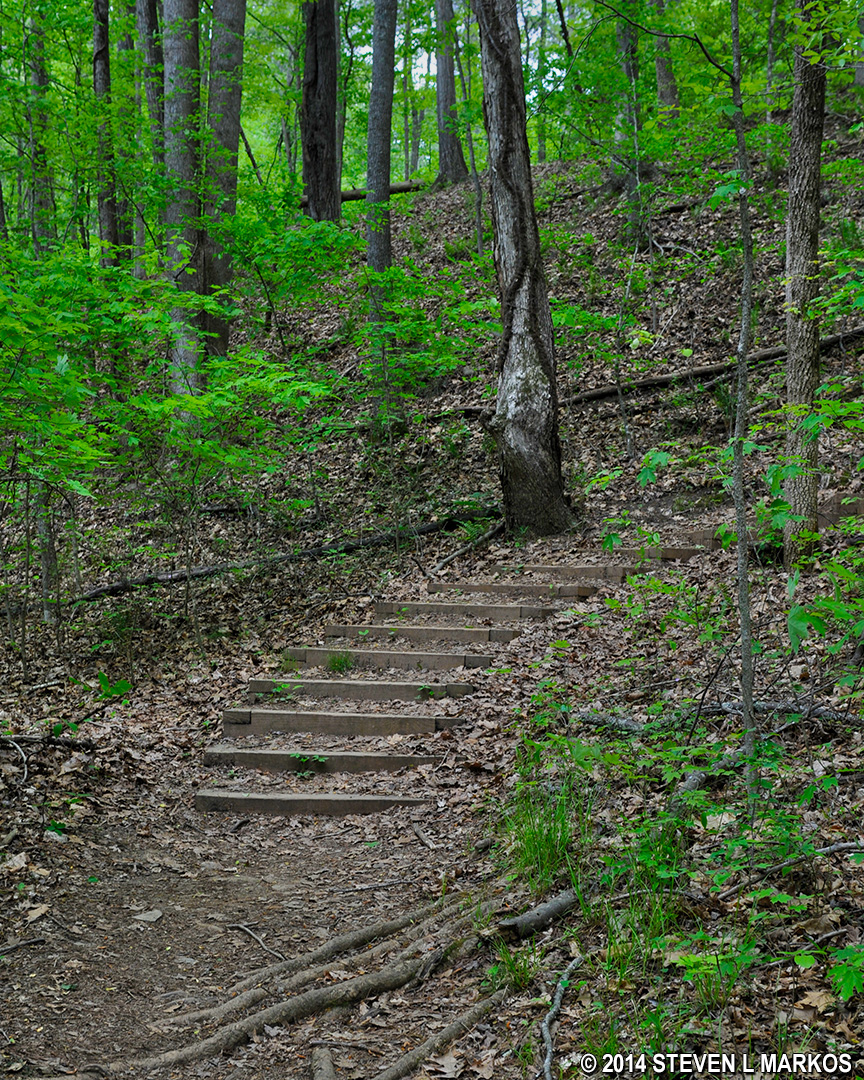
Steep, uphill climb along between intersections JB 6 and JB 7 on the Jones Bridge unit trail in Chattahoochee River National Recreation Area
The climb lasts for .3 mile. At the top is a small footbridge, and the trail forks just after it—this is not on the trail map. The fork to the right, which leads up another steep hill, is a path to a neighborhood, so take the fork to the left to continue the hike.
Stay left at the footbridge near the top of the hill between intersections JB 6 and JB 7 on the Jones Bridge unit trail in Chattahoochee River National Recreation Area
The trail covers some hilly terrain before coming to intersection JB 7. The trail sign was missing when I did the hike, and if it hasn’t been replaced, you may walk right past it. Somebody did have the courtesy to write the intersection number on the sign post. If you continue straight, you will travel towards JB 22 (the trail map makes it look like a right turn). My route makes a left and proceeds a few minutes farther downhill–extremely steep—to JB 8.
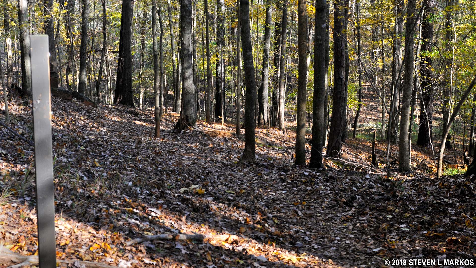
Intersection JB 7 on the Jones Bridge Unit trail in Chattahoochee River National Recreation Area
The sign at JB 8 was missing as well, and if it hasn’t been replaced, just keep straight to reach JB 12 (a right heads towards JB 9). JB 8 is at the bottom of the hill, and from here the terrain is flat all the way to JB 12. The Chattahoochee River is just up ahead. When you reach the river you will have hiked about 1.3 miles.
Chattahoochee River near intersection JB 8 on the Jones Bridge Unit trail in Chattahoochee River National Recreation Area
The trail follows the river for a third of a mile until it suddenly turns inland and shortly thereafter arrives at JB 12. The trail sign was intact, but who knows how long it will be before the next angry hiker comes by and decides to take his life’s frustrations out on it. Anyway, take a left to reach the next destination, JB 14. You’ll be heading back towards the Chattahoochee River and should see it in less than a minute.
Terrain between JB 12 and JB 14 at the Jones Bridge Unit of Chattahoochee River National Recreation Area
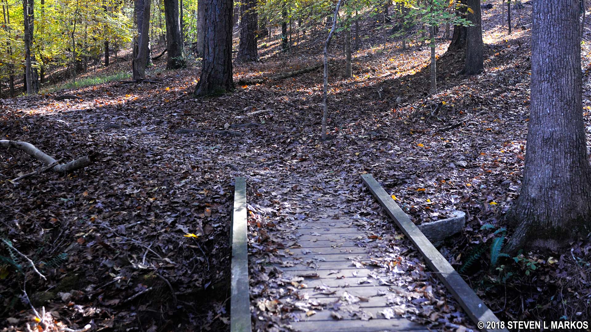
It is a third of a mile between JB 12 and JB 14, and once again the trail turns inland towards the very end. Take a left at JB 14 and proceed over a footbridge towards JB 15, which is just 200 yards ahead. Once there, take a left towards the Chattahoochee River and JB 24. The JB 15 sign was missing, but somebody did write JB 15 on the post.
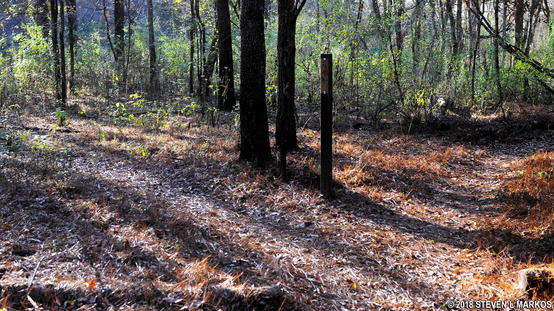
Intersection JB 15 on the Jones Bridge Unit trail in Chattahoochee River National Recreation Area
It’s at JB 24 where everything goes to pot. This was the third time that I have hiked this trail, and only this time did I figure out the layout of the land. The National Park Service-issued trail map shows JB 24 as a five-way intersection, with one of the trails being the one from JB 15. There is no way to figure this out on your own, so read carefully. The trail directly behind the sign is a short path that leads to a deep gully at the end of the park property. If you turn your head in a clockwise manner, left to right, the second trail (counting the one behind the sign) is the trail to JB 23. The third trail, which cuts back sharply to the right—nearly a U-turn—leads to JB 16. I did not see the short trail to the river and have removed it from the map on this page, but if I am wrong and it is still there, counting trails left to right starting at the one behind the sign should still point you in the right direction.
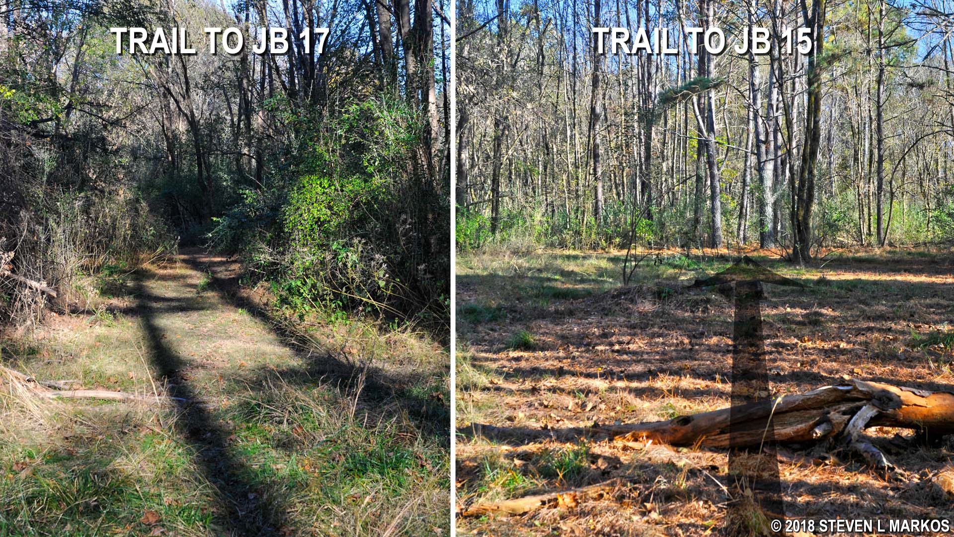
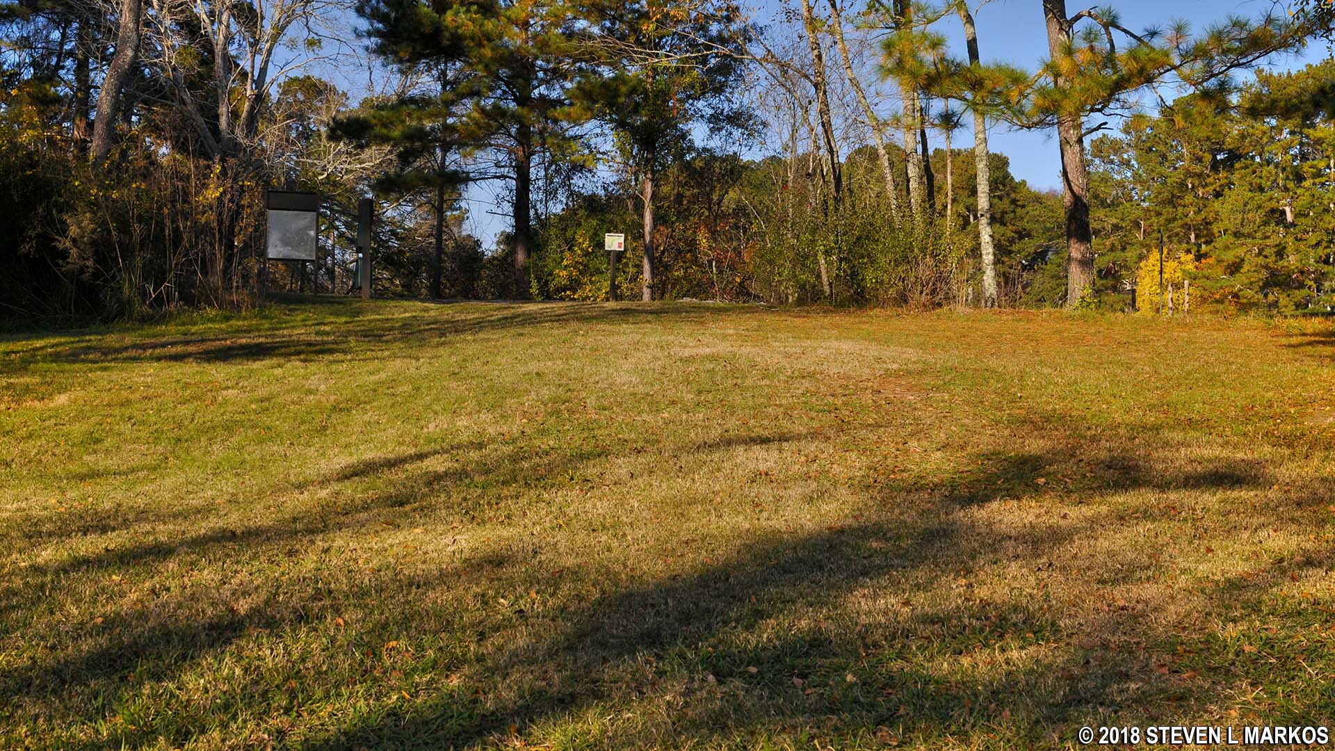
To follow my route, take the trail to JB 16. In just a couple of minutes you will arrive at an open field where the trail splits. This is JB 16, but there is no sign—and I mean no trail post, not just a missing sign. Once again, read carefully. The fork to the right that passes between two tall pine trees leads to JB 15. The fork to the left, which is the one to take, leads to JB 17.
JB 16 intersection at Jones Bridge Unit trail in Chattahoochee River National Recreation Area
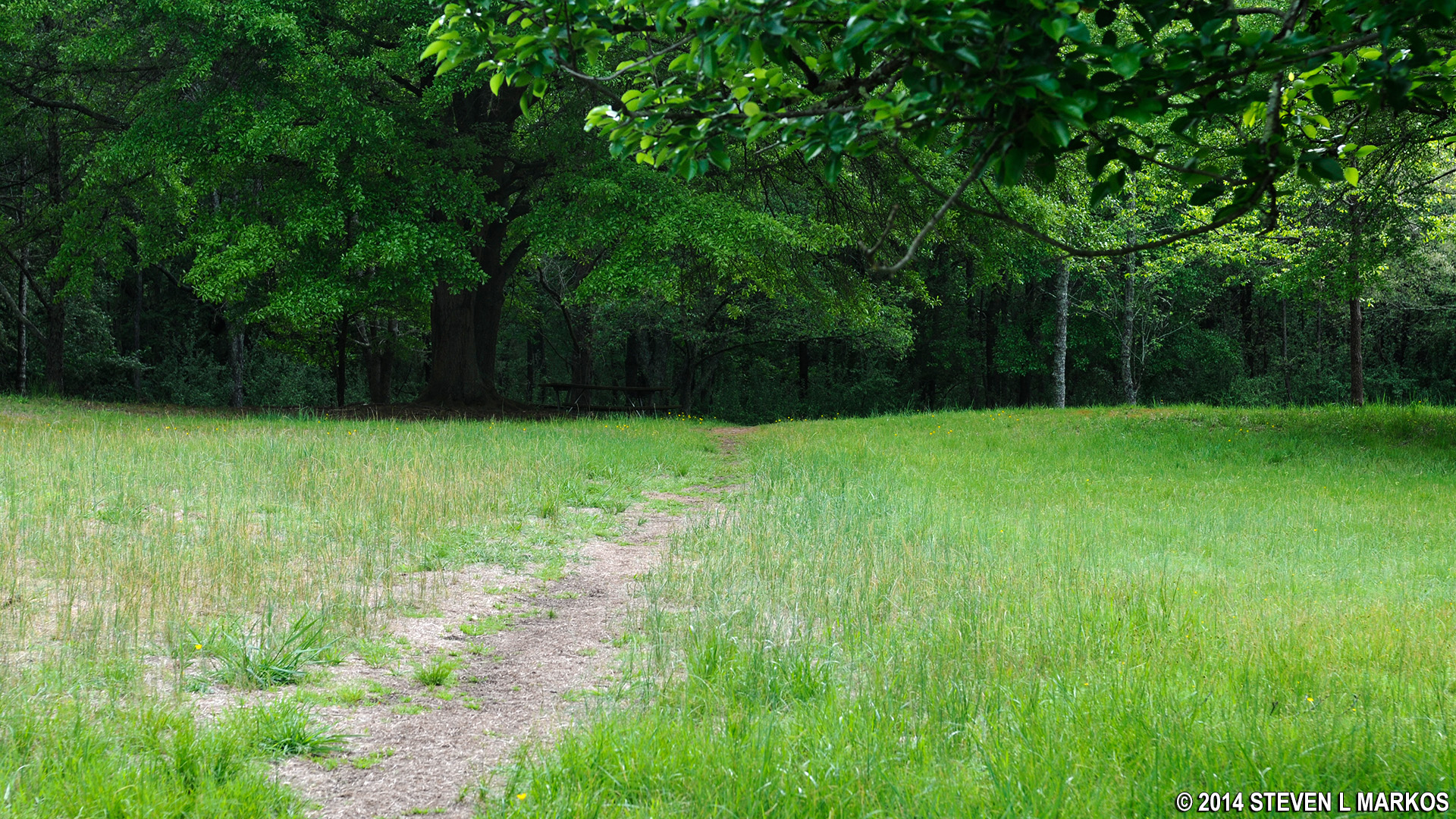
The JB 17 sign was missing as well, so those without knowledge still won’t know where they are. However, all you have to do is keep walking straight (a left takes you to JB 23). The trail becomes very wide at this point and soon passes out of the forest and proceeds through a massive field where you will find a couple of picnic tables. Just keep hiking until you reach the top of the hill at a lake. This is JB 18, and the Chattahoochee River Environmental Educational Center is off to the left.

Large field between JB 17 and JB 18 on the Jones Bridge Unit trail in Chattahoochee River National Recreation Area
Intersection JB 18 on the Jones Bridge Unit trail at the top of the hill near the Chattahoochee River Environmental Education Center in Chattahoochee River National Recreation Area
Lake near the Chattahoochee River Environmental Education Center parking lot
The lake is on private property, so you cannot walk around it. Instead, return to the field and take a left, then follow the tree line to the far end of the field until you come to a trail that leads back into the forest—if you hug the tree line, you can’t miss it. This will take you to JB 13, just a short walk ahead.
Jones Bridge Unit trail at JB 18 heads into the forest on the way to JB 13, Chattahoochee River National Recreation Area
At JB 13 you have a choice to continue straight to JB 11 or to take a left along a very narrow trail that comes out at a second lake at JB 19. Take the left.
Lake near intersection JB 19 on the Jones Bridge Unit trail in Chattahoochee River National Recreation Area
Officially, the Jones Bridge trail ends at JB 19, and you must turn around and head back to JB 13 and then to JB 11. However, it is possible to walk along the lake shore on the earthen dam, then continue into the woods and eventually come out at JB 21. I only suggest this because while I am pretty sure this is private property, there are no Private Property Keep Out signs at this lake as there are at the one near CREEC.
To hike to JB 21 requires a little bit of balance because you must walk across a concrete retaining wall that spans the lake’s spillway. If you can manage this, simply continue along the dam and follow the trail back into the forest. You may see a fork to the right, but just stay straight on the main trail and in a tenth of a mile you will be at JB 21. I have drawn this trail on my map at the top of the page—it is not on the original National Park Service map.
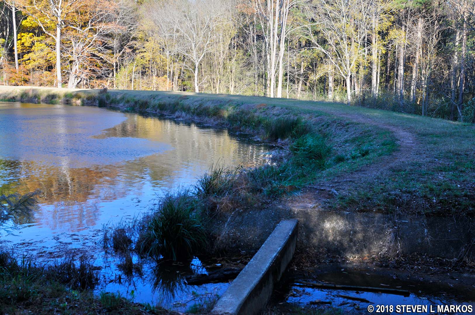
Retaining wall across the spillway of the lake near intersection JB 19 in the Jones Bridge Unit of Chattahoochee River National Recreation Area
Take a left at JB 21 to continue on to JB 20 (a right leads to JB 10). This is a quarter-mile uphill hike that starts out fairly steep (11% grade), but at the halfway point the hill softens and the trail gradually ascends to the top at JB 20. Once at the intersection you will have hiked three miles. Along the way I saw a deer that didn’t seem too concerned about my presence.
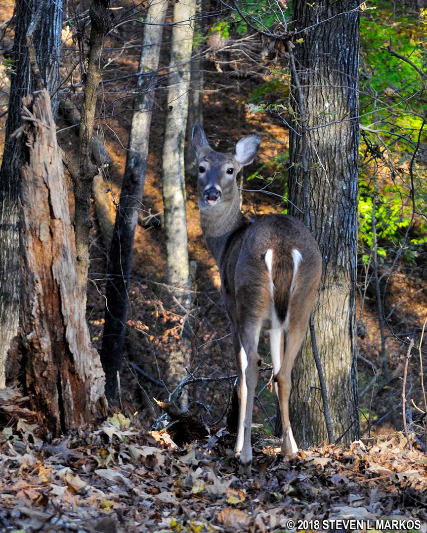
Deer along the Jones Bridge trail
Take a right at JB 20 and head towards JB 22 and then to JB 7, which is back at the main trail. Take a left to return to the parking lot. The trail between JB 20 and JB 22 got really faint, and I managed to wander off of it, though I eventually ended up on the main trail, bypassing both JB 22 and JB 7—a shortcut as it turns out. If you find yourself in this same predicament, just take a left on the main trail (JB 7 is to the right). From this point on, you’ll be hiking the same route that you came in on, including the steep portion between JB 6 and JB 7. It’s a little over a mile back to the parking lot.
With a few exceptions, use of any photograph on the National Park Planner website requires a paid Royalty Free Editorial Use License or Commercial Use License. See the Photo Usage page for details.
Last updated on May 16, 2024


