
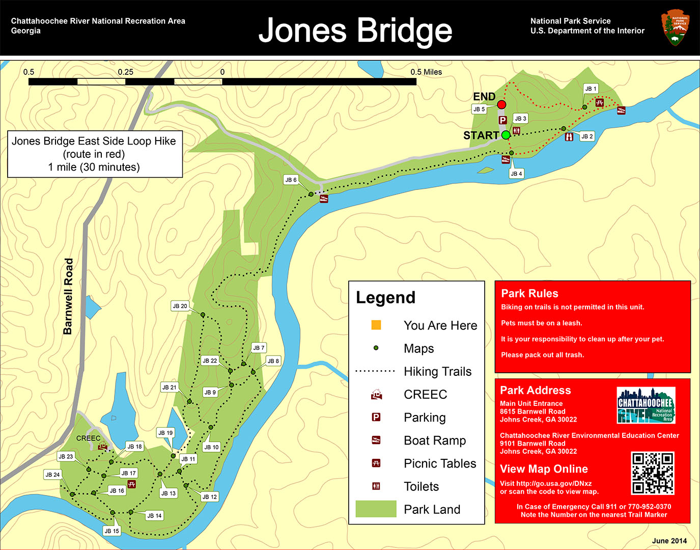
Jones Bridge East Side Loop Hike map (click to enlarge)
Length: 1-mile loop
Time: 30 minutes
Difficulty: Moderate, mainly flat with one steep hill
Download the Jones Bridge East Side Trail Map (PDF)
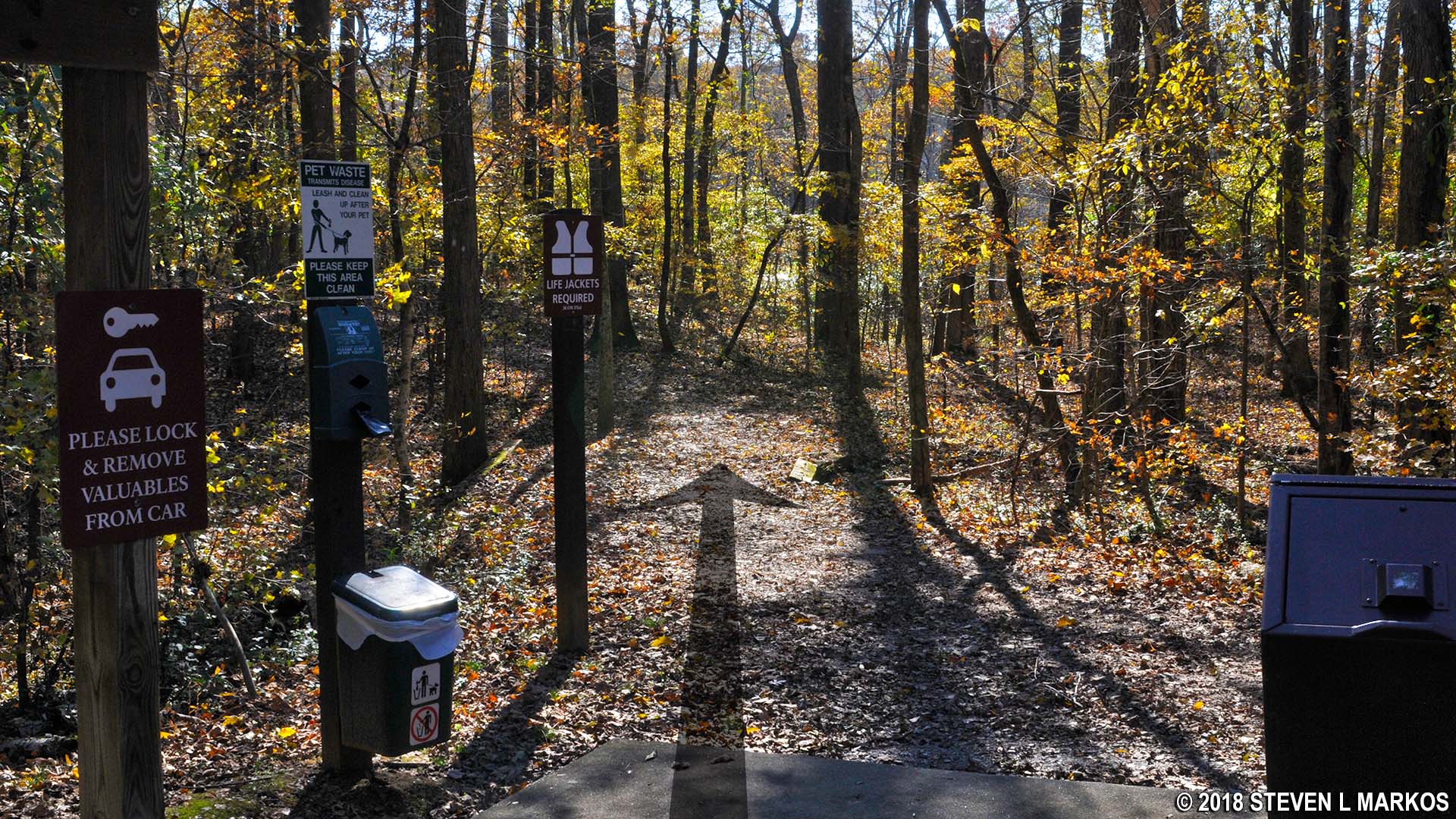
A loop hike around the east side of the Jones Bridge Unit of the Chattahoochee River National Recreation Area starts at the main parking lot located at the very end of the park road. There are three possible trailheads, but the easiest to find is the one at intersection JB 3 (see the trail map for intersection reference points). Just follow this for 200 feet until it dead ends into the main hiking trail that follows the Chattahoochee River at intersection JB 4.
Trailhead at JB 3 in the Jones Bridge unit of Chattahoochee River National Recreation Area
Trail maps attached to sign posts are placed at all intersections, but the JB 4 trail map was missing due to vandalism when I did the hike (it may well be back up by now). However, there is no mistaking this intersection, for it not only dead ends into the main trail, but there is also a canoe launch here.

Canoe launch at the JB 4 trail intersection in the Jones Bridge unit of Chattahoochee River National Recreation Area
To hike the one-mile loop around the east side of the park unit, take a left at the intersection. The trail runs right along the Chattahoochee River, but unobstructed views of the water are rare due to trees and brush along the riverbank. There is, however, an observation platform a five-minute’s walk from the canoe launch.
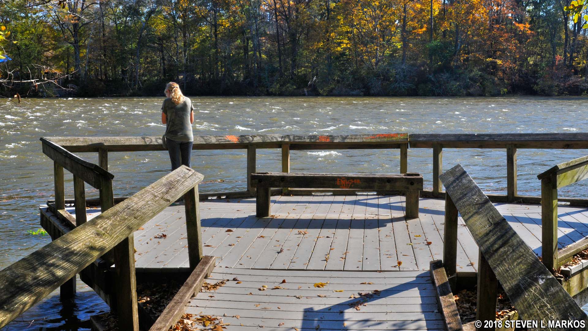
Observation platform at the Jones Bridge Unit of the Chattahoochee River National Recreation Area
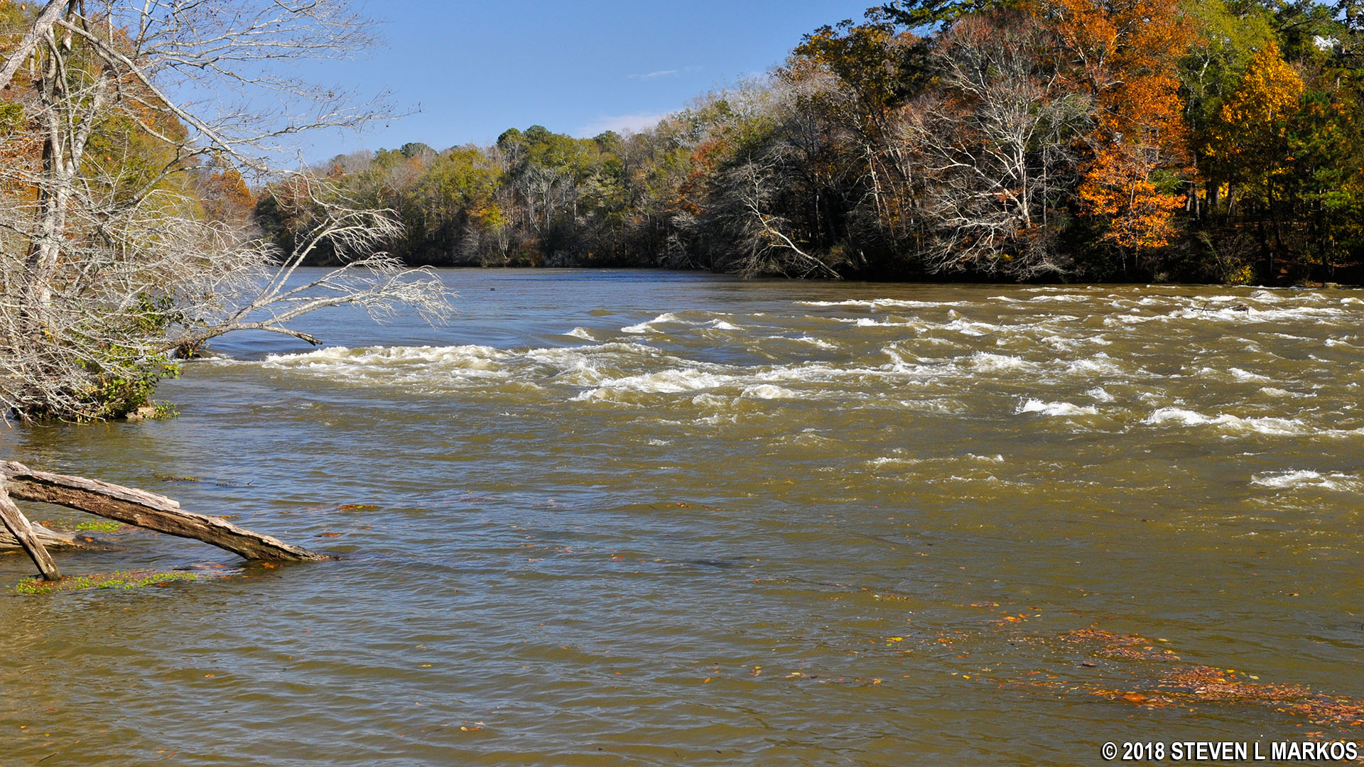
View of the Chattahoochee River from the Jones Bridge Unit of Chattahoochee River National Recreation Area
Just past the observation deck, the trail appears to end at a hill covered with rocks. However, walk around the right side of the outcrop and you’ll find that the trail does indeed continue beyond this point.
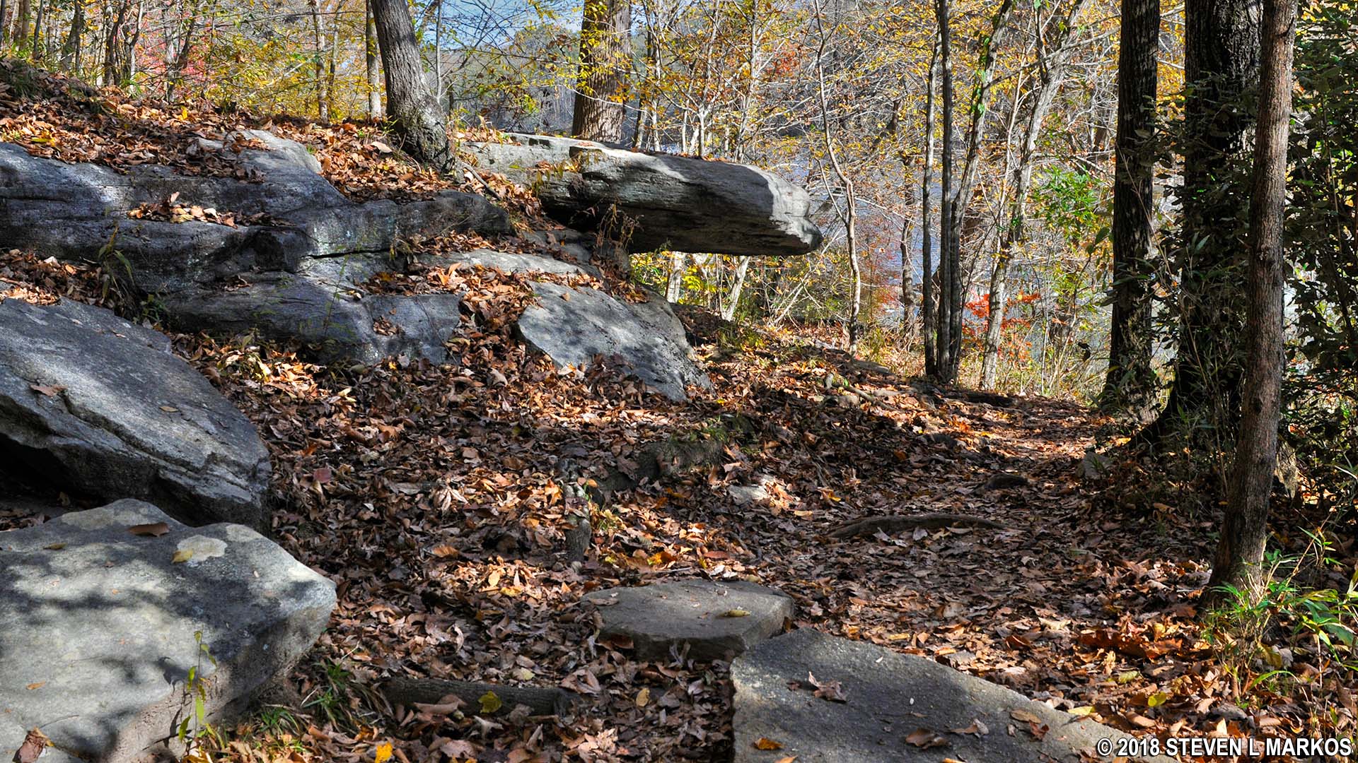
Jones Bridge Trail continues around a rocky outcrop, Chattahoochee River National Recreation Area
Just past the rocky outcrop are two fields separated by the narrow Malvern Creek. The first field is empty, but the second, which you get to by crossing a footbridge over the creek, has a few picnic tables. This is where the current park map issued by the National Park Service is wrong (the map I provide on this page has been corrected). It shows intersection JB 1 at the very end of the trail, but it is actually at the creek, slightly inland from the footbridge, so it comes before the picnic area. The trail along the river continues another hundred yards to a second canoe launch. I have a photo of a trail map from 2013 that is correct, so I don’t know why the new maps were drawn incorrectly.
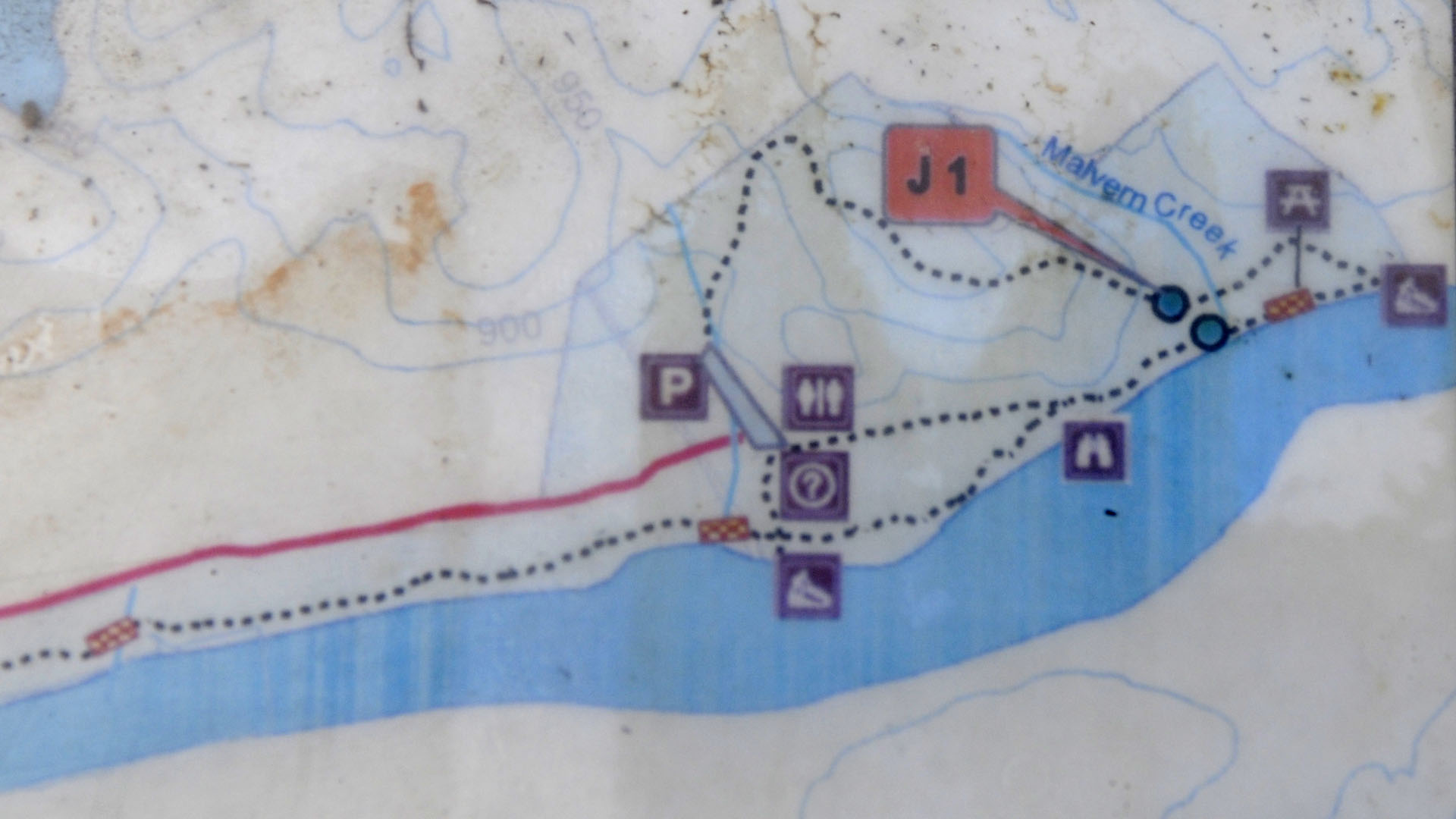
Correct Jones Bridge trail map from 2013
This second boat ramp is next to where the ruins of the old Jones Bridge stood until the entire structure collapsed in January 2018. All parts of the bridge have since been removed.
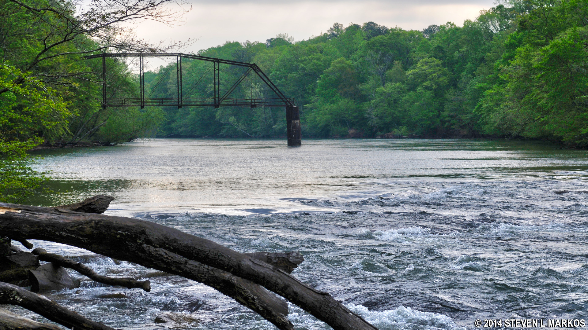
Ruins of the Jones Bridge on the Chattahoochee River (photo from 2014)
The trail continues off of National Park property along the riverbank in front of two mansions, but the official turnaround point is the boat ramp. From here, head back to JB 1 along a very wide trail that leads inland and around the backside of the picnic area. This eventually crosses Malvern Creek via stepping stones. If you don’t want to cross this way, or perhaps the creek is too deep after a rainstorm, the footbridge is just a hundred feet to the left and easily accessible.

Sasha attempting to cross Malvern Creek in the Jones Bridge unit of Chattahoochee River National Recreation Area (she ultimately opted for the footbridge)
The JB 1 intersection is on the other side of the creek. From here, the trail leads up a very steep hill and farther away from the river. The climb lasts for a tenth of a mile and has a grade of 12% (15% is where strenuous hiking begins). At the top, you will be nearly 100 feet above the Chattahoochee River. Of course there is a downhill hike as well, but after a very short but steep decline, the trail gradually descends back to the parking lot where it comes out at JB 5 on the opposite end from where the hike started.
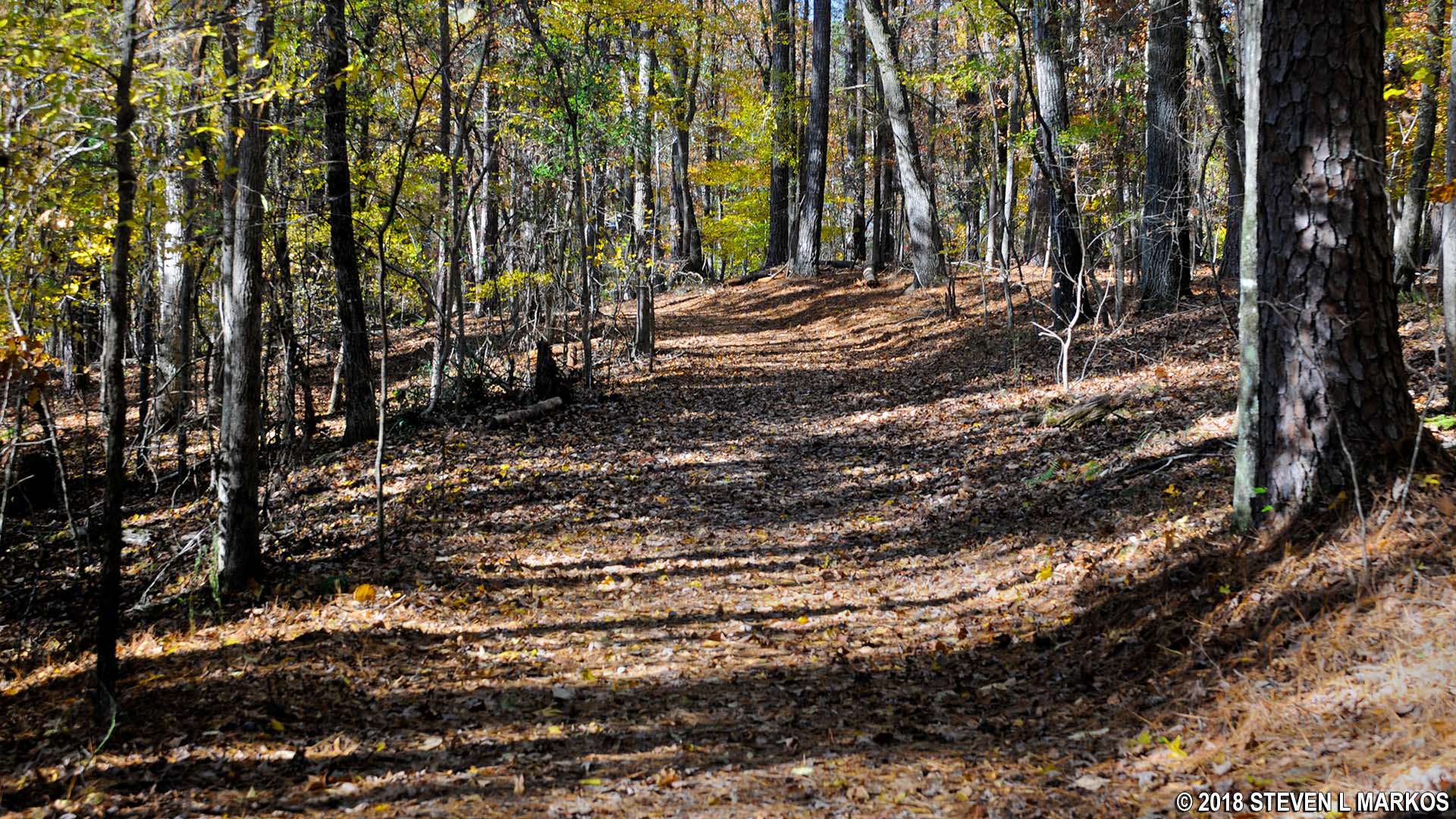
Hill at intersection JB 1 on the Jones Bridge unit trail climbs nearly 100 feet above the Chattahoochee River
With a few exceptions, use of any photograph on the National Park Planner website requires a paid Royalty Free Editorial Use License or Commercial Use License. See the Photo Usage page for details.
Last updated on May 15, 2024


