
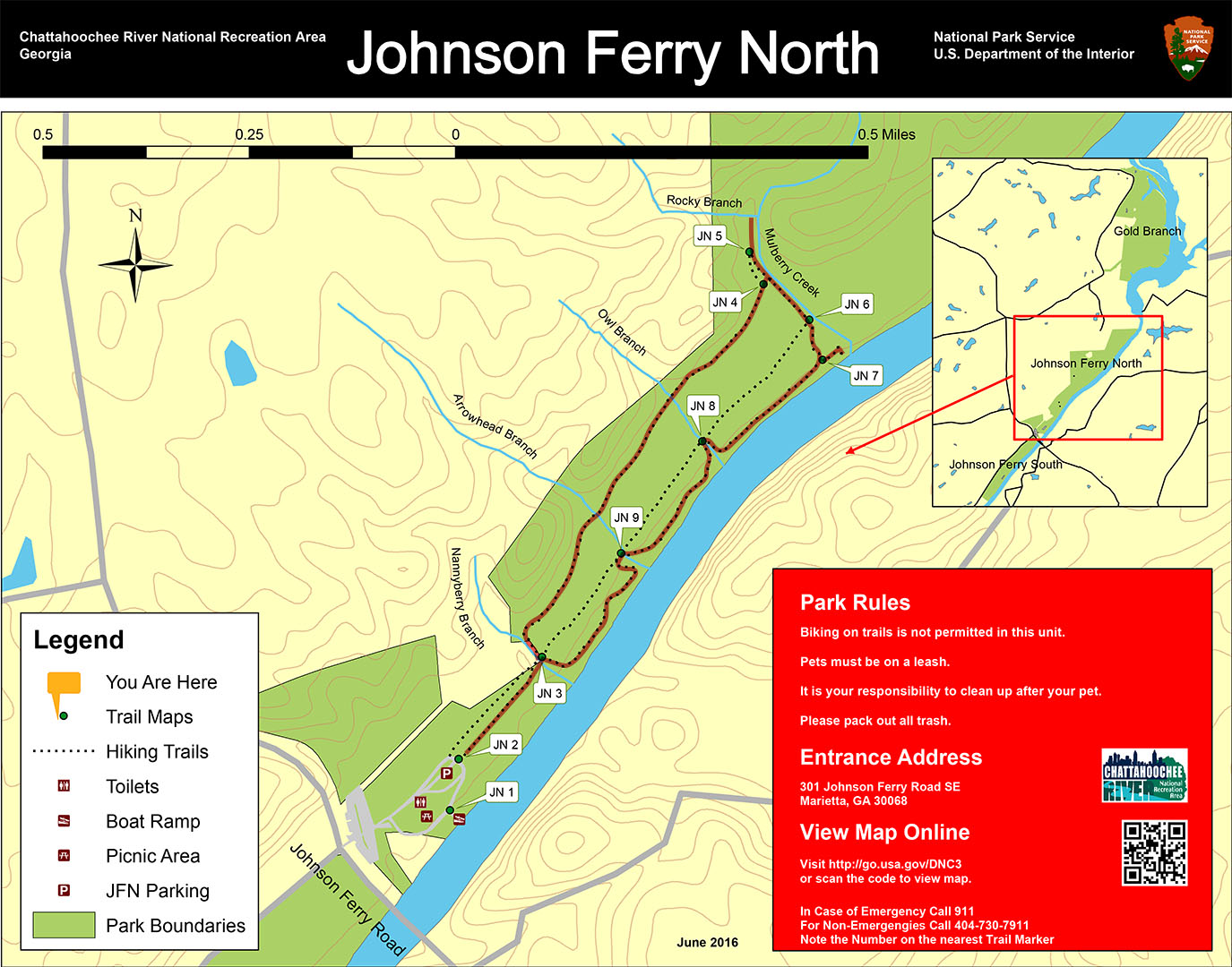
Johnson Ferry North Trail map (click to enlarge)
Johnson Ferry Hiking Trails Home Page
Length: 2-mile loop
Time: 1 hour
Difficulty: Flat and easy
Download the Johnson Ferry North Map (PDF)
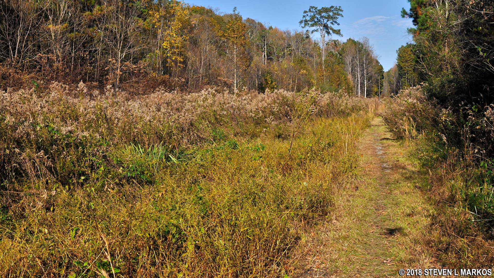
The loop hike to Mulberry Creek begins at the far end of the lower parking lot at the Chattahoochee River National Recreation Area’s Johnson Ferry North unit. While there are two trails that you can start out on, one grass and the other a gravel road, it is the gravel road that nearly everyone takes, as the grass path isn’t very evident. However, both come together just a couple of minutes down the trail at Nannyberry Creek (JN 3 on the trail map) where there loop portion of the hike begins.
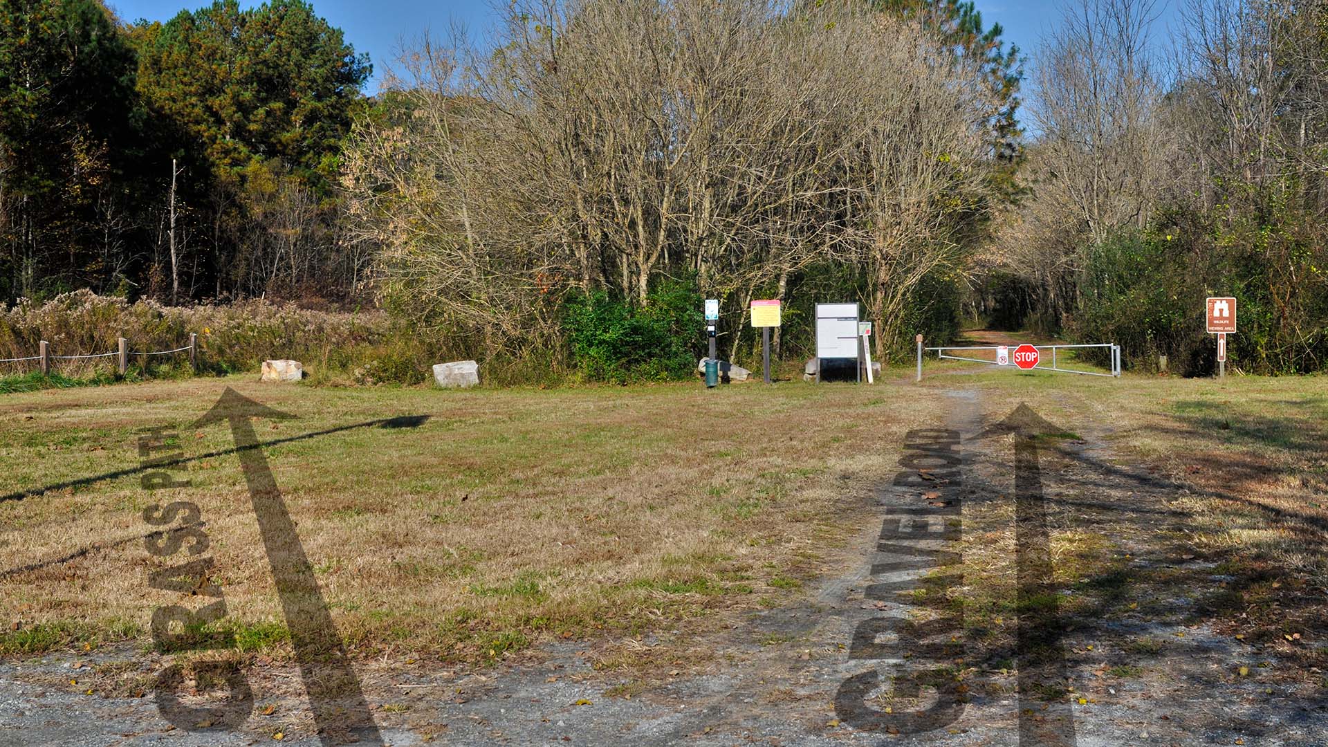
JN 2 trailheads for the Johnson Ferry North Loop Trail at Chattahoochee River National Recreation Area
There are three ways to go at Nannyberry Creek (JN 3): straight, left, and right. Left and right set you off hiking around the loop, whereas the trail that continues straight ahead simply runs down the middle of the park, which is no fun at all since it doesn’t come near the Chattahoochee River. I opted to take a right immediately after crossing the creek onto the trail that leads into the forest, thus beginning the loop hike in the counterclockwise manner and heading directly to the Chattahoochee River. To the left is a boardwalk, which is where the hike comes out at the end of the loop. (A little known fact is that the center trail was once a dirt road that ran from Johnson Ferry Road to Morgan Falls Dam. To this day, you can look at a satellite image and clearly see the route.)
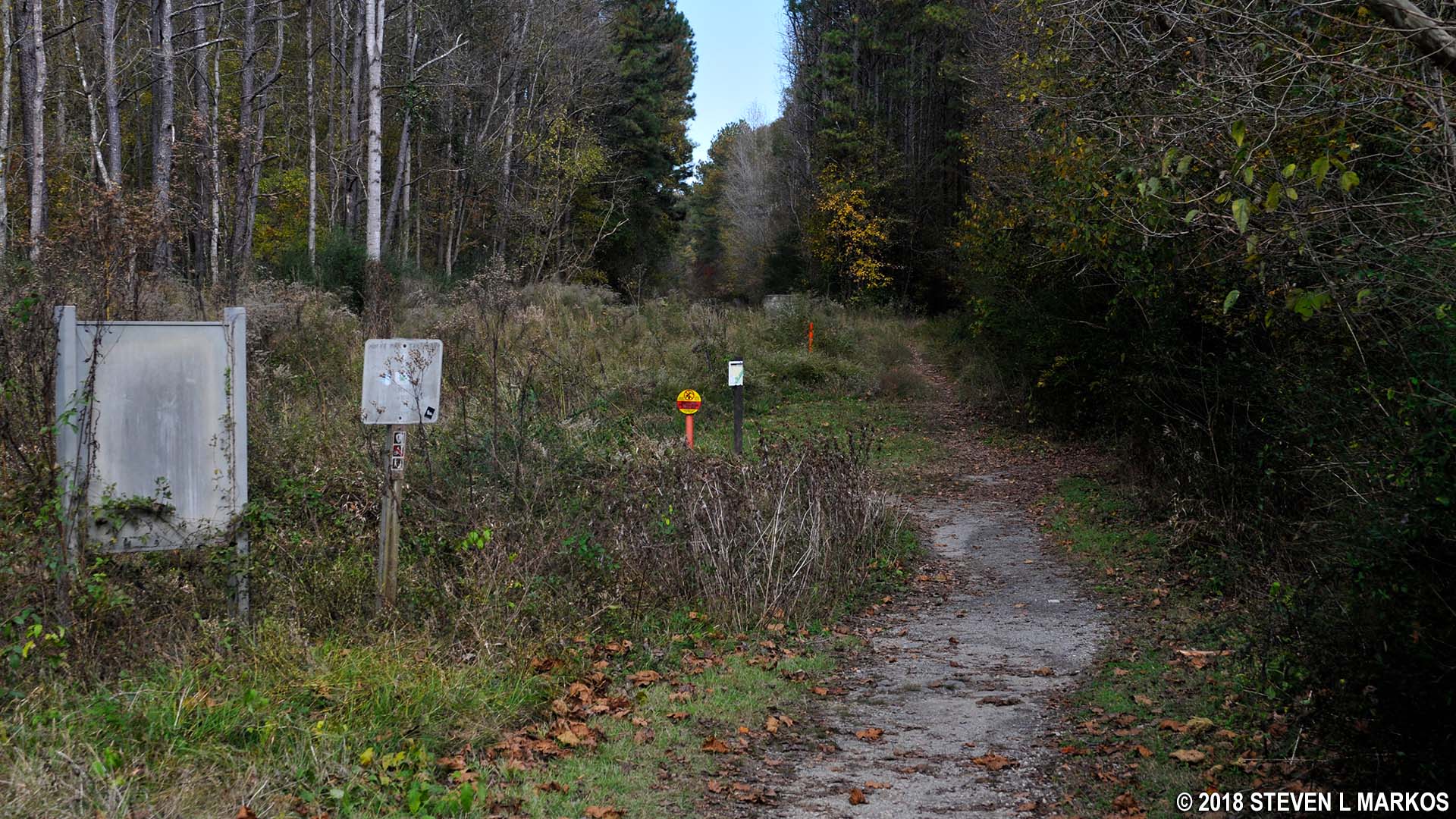
Nannyberry Creek intersection on the Johnson Ferry North Loop hike, Chattahoochee River National Recreation Area
The trail through the forest is a narrow path that eventually follows the Chattahoochee River for a tenth of a mile before running into Arrowhead Creek at JN 9. The trail is only twenty feet or so from the river, and while you can always see the water through the leaves on the trees and brush, unobstructed views are not all that common.
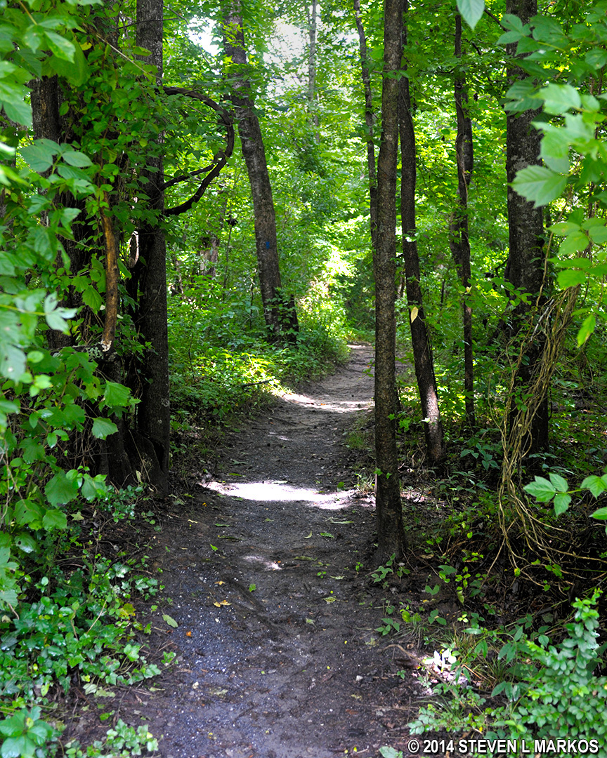
Typical terrain on the Johnson Ferry North unit trails along the Chattahoochee River
Clear view of the Chattahoochee along the trail at the Johnson Ferry North unit of Chattahoochee River National Recreation Area
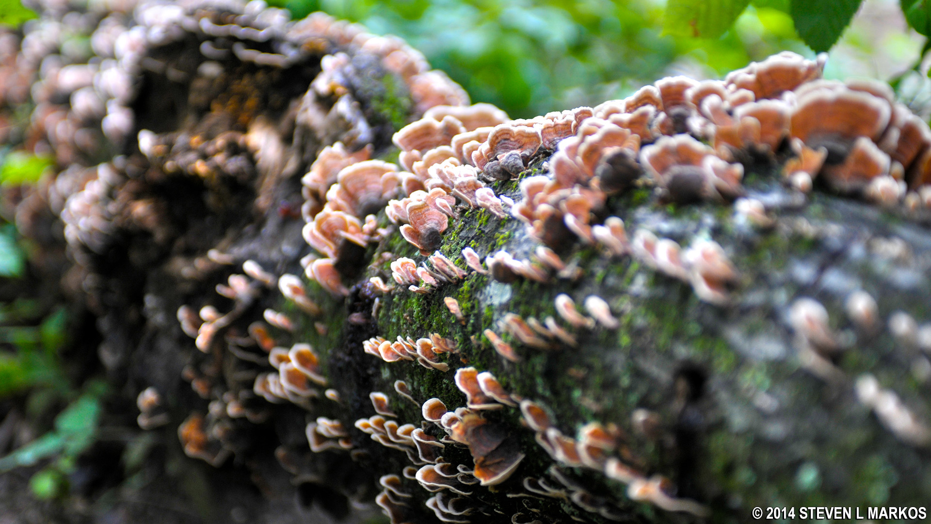
Colorful fungus on a fallen log
When the trail reaches Arrowhead Creek, it turns left and heads inland where in just a stone’s throw it dead ends into the trail that runs down the center of the park (intersection JN 9). Take a right, cross the creek, and then immediately turn right to go back into the forest and continue following the Chattahoochee River to Owl Creek. The terrain is exactly the same as the hike along the river from Nannyberry to Arrowhead Creek. Periodic views of the river emerge from parted trees, but most of the time the river is blocked from view.

Hike along the Chattahoochee River on the Johnson Ferry North Unit trail between Arrowhead and Owl creeks, Chattahoochee River National Recreation Area
In .2 mile the trail comes to Owl Creek and once again curves to the left and heads inland until dead ending into the center trail (JN 8). Just as before, cross the creek and immediately take the trail back into the forest.
Johnson Ferry North trail crosses Owl Creek at intersection JN 8, Chattahoochee River National Recreation Area
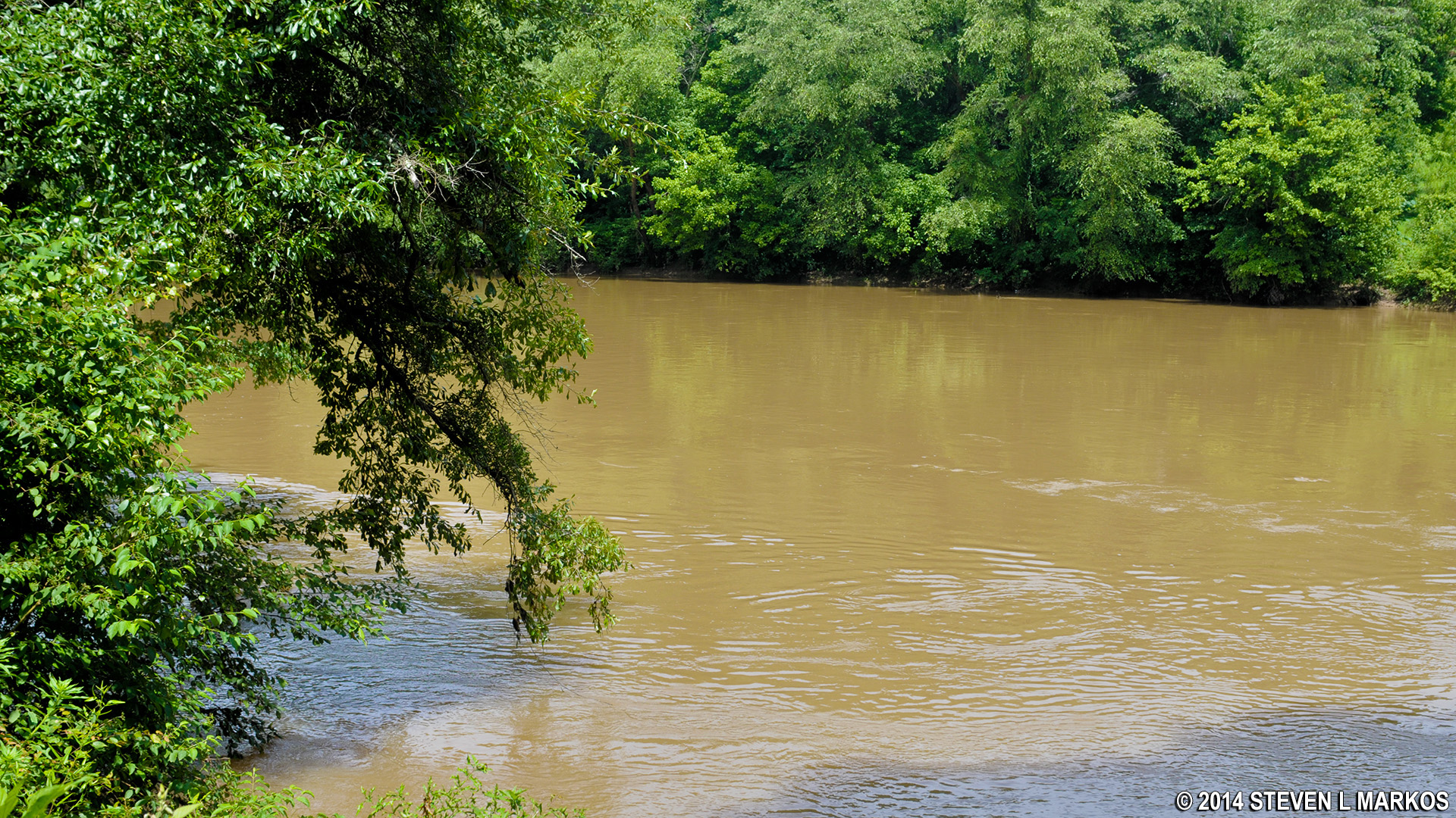
In another .2 mile the trail forks right before Mulberry Creek at intersection JN 7. Ultimately you need to go to the left and follow the creek back to the center trail, but if you stay right you can make your way down to the river bank for a decent view of where Mulberry Creek empties into the Chattahoochee River. On my visit a few days after a heavy rain, the area was nearly flooded. However, I have also been here when Mulberry Creek was just a tiny stream. In the two river photos below, the tree trunk in the top, left corner of the first photo is the same tree as in the second photo.
Fork in the Johnson Ferry North trail near Mulberry Creek at intersection JN 7, Chattahoochee River National Recreation Area
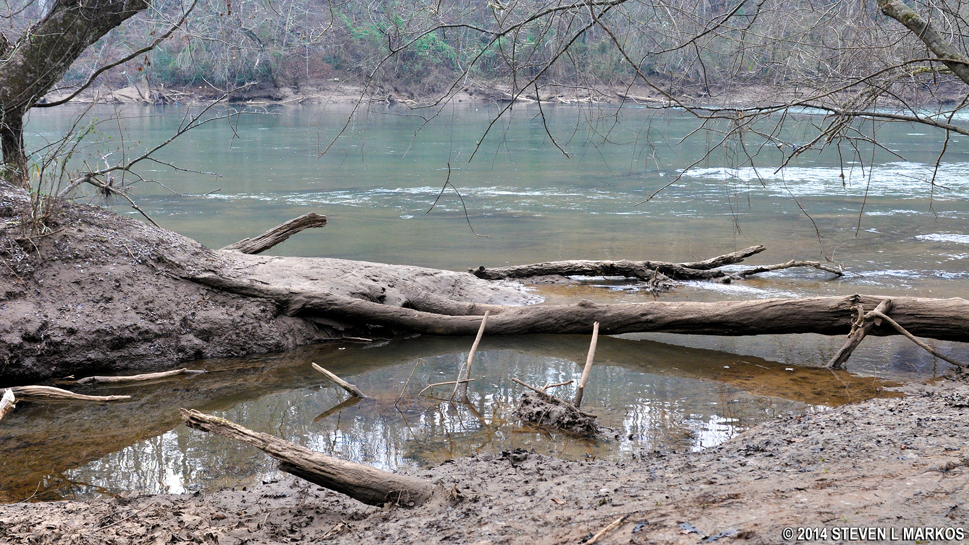
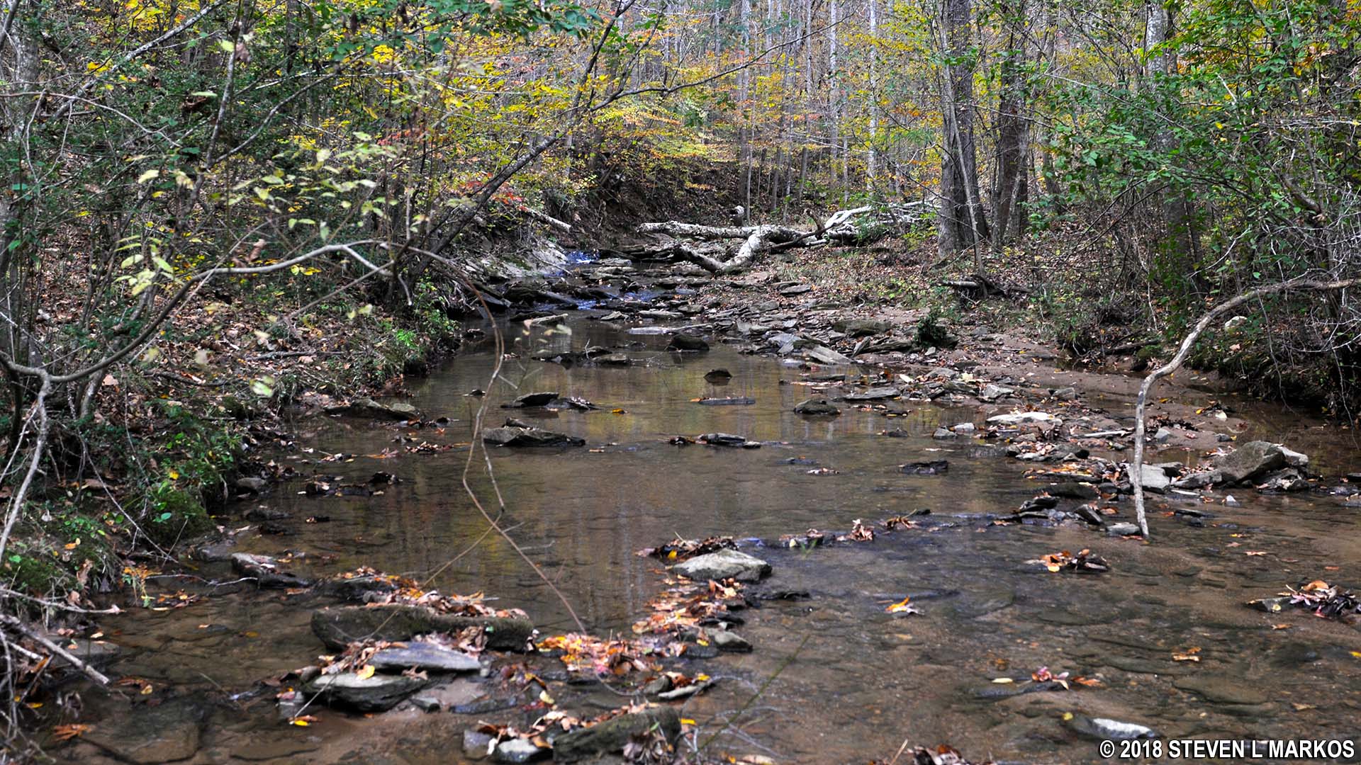
Mulberry Creek in the Johnson Ferry North Unit of Chattahoochee River National Recreation Area empties into the Chattahoochee River
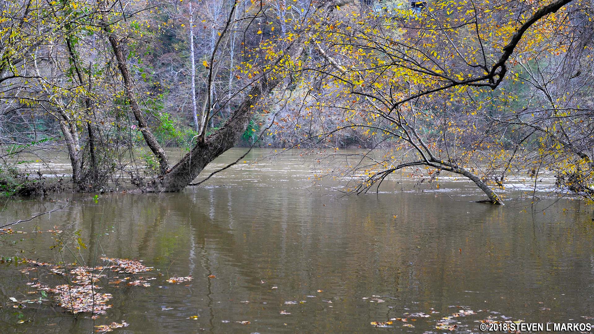
Mulberry Creek in the Johnson Ferry North Unit of Chattahoochee River National Recreation Area empties into the Chattahoochee River a few days after torrential rain
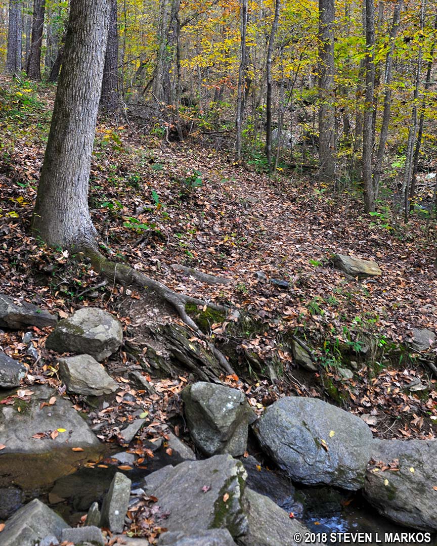
If you visited the river, retrace your steps back to the JN 7 and follow Mulberry Creek out of the woods and back to the center trail (JN 6). This is the far end of the loop, so it is now time to head back. The trail follows Mulberry Creek for a short distance until forking at intersection JN 4, which is just past a concrete sewer access point.
Johnson Ferry North Trail along Mulberry Creek between intersections JN 6 and JN 4, Chattahoochee River National Recreation Area
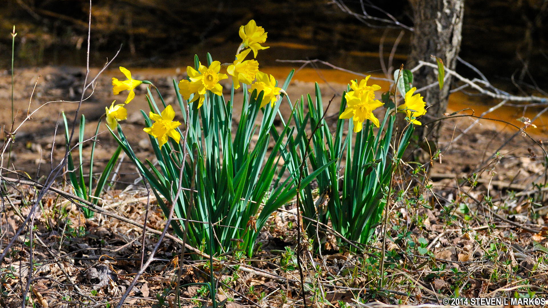
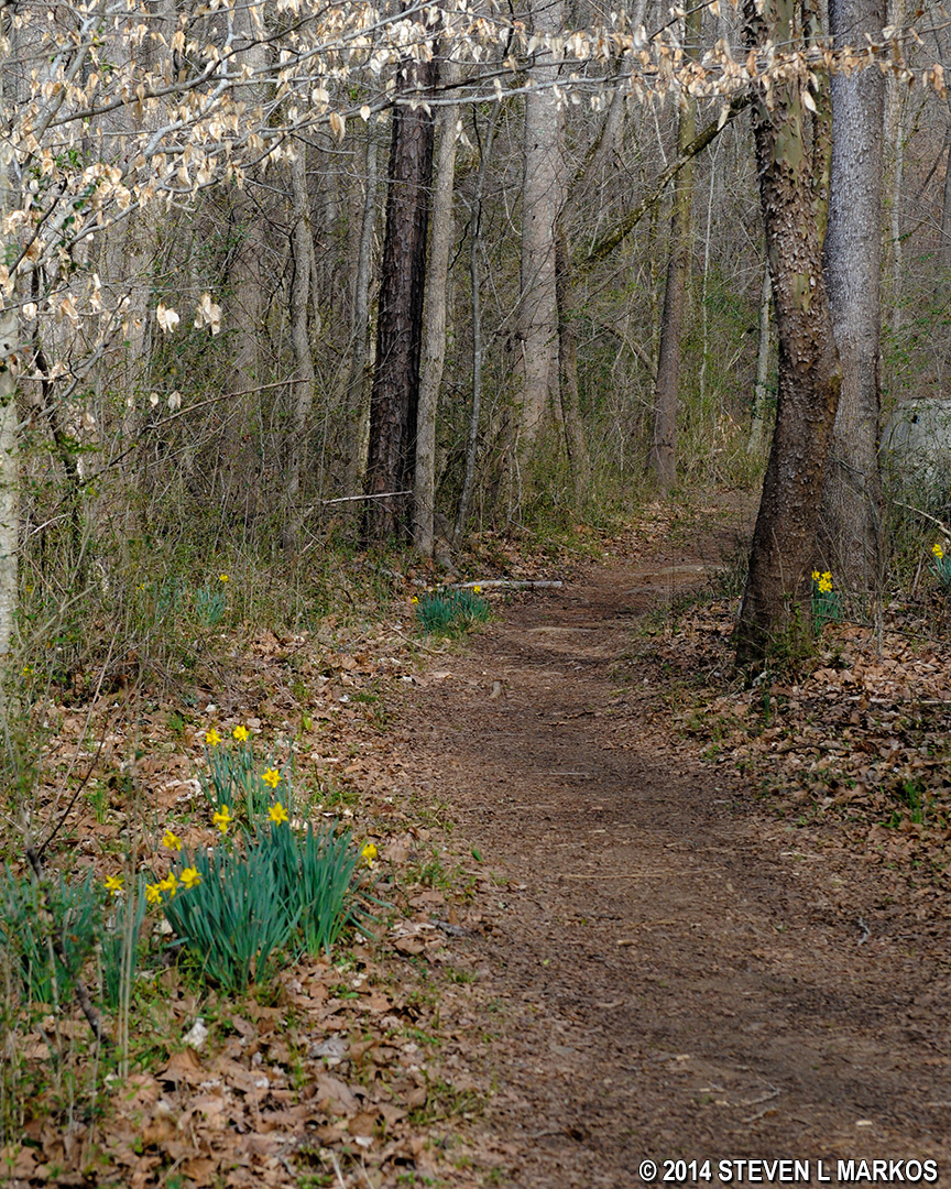
Flowers blooming in early Spring
Mulberry Creek in the Johnson Ferry North unit of Chattahoochee River National Recreation Area
To continue back to the parking lot you would take a left at intersection JN 4, but there is a chance to stay straight and hike a little farther along the creek towards JN 5. The map shows the trail ending at JN 5—which I never even saw—but if you don’t mind hiking up a moderate hill, you can continue on to Rocky Branch (a small creek) where there are some nice views of cascading water flowing over a rocky creek bed. The trail actually continues, and you can easily cross Rocky Branch on some rocks, but I have no idea where this leads.
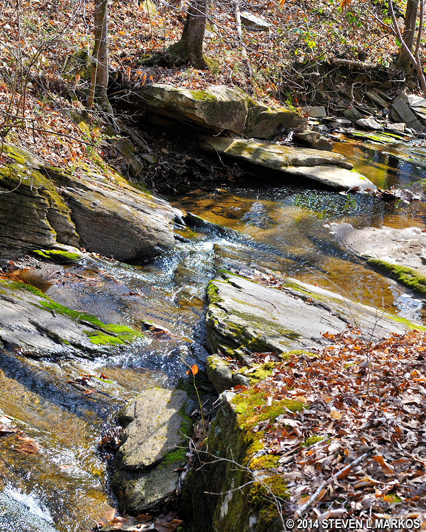
Mulberry Creek near Rocky Branch in the Johnson Ferry North unit of Chattahoochee River National Recreation Area cascades over rocks on its way to the Chattahoochee River
Johnson Ferry North Trail continues beyond Rocky Branch, Chattahoochee River National Recreation Area
Once done looking at the water cascades, return to JN 4 and continue around the loop. There is a second fork that is not on the map, but just keep taking lefts and you’ll remain on the correct trail. You’ll soon pass over Owl Creek, which runs underneath the trail through a culvert, and between it and Arrowhead Creek is a large, swampy area.
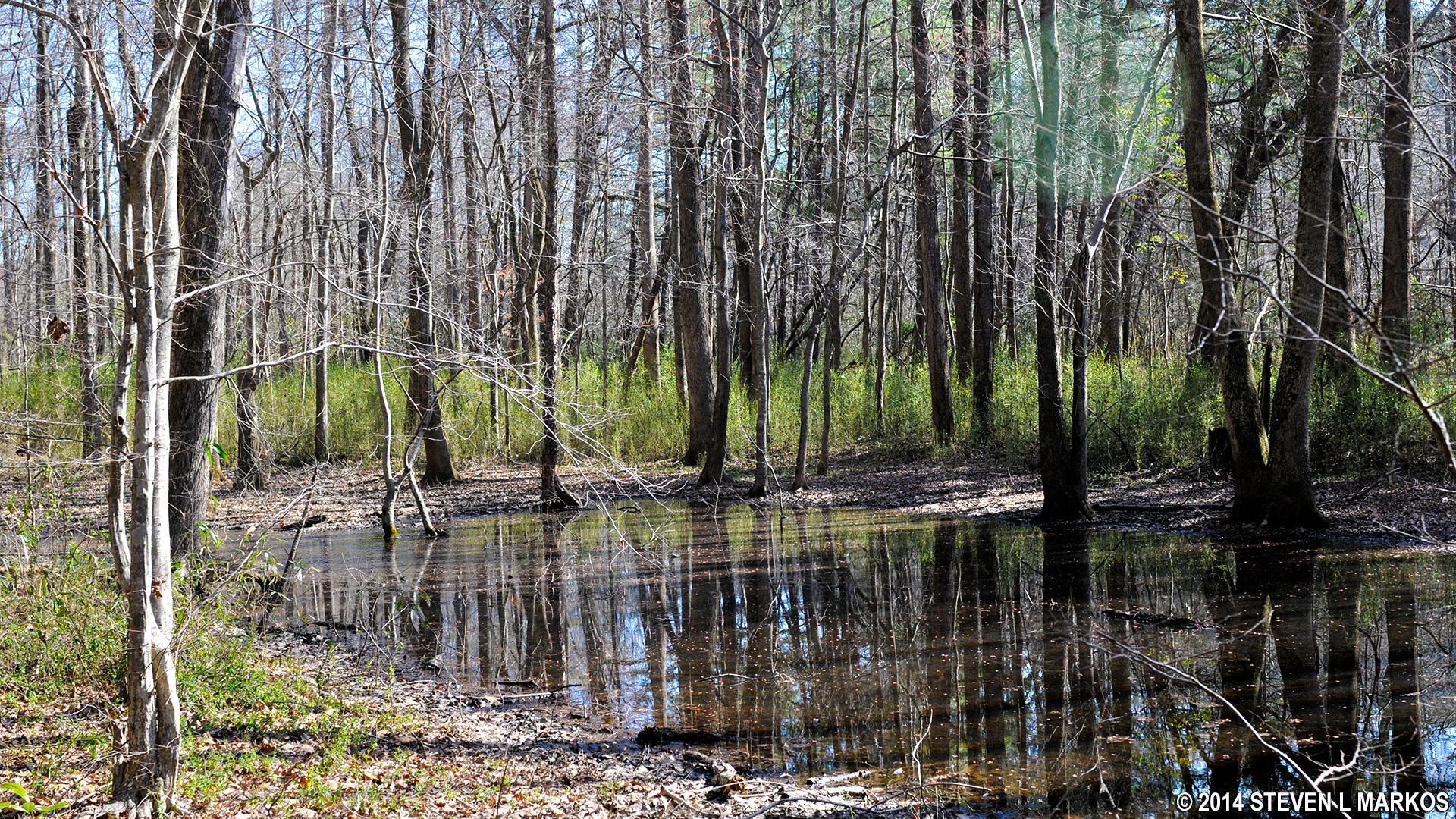
Swampy area in the Johnson Ferry North unit of Chattahoochee River National Recreation Area between Owl Branch and Arrowhead Branch
The trail soon crosses Arrowhead Branch, this time via a footbridge, passes by some more swampy area, then comes to a boardwalk. At this point it is just a short hike to the start of the loop at Nannyberry Creek.

Boardwalk on the Johnson Ferry North Trail near Nannyberry Creek, Chattahoochee River National Recreation Area
You can walk back to the parking lot on the gravel road that you came in on or along the grassy trail, which is more scenic. I opted for the trail just to change things up. The parking lot is only a minute away.
Grassy trail between intersections JN 3 and JN in the Johnson Ferry North unit of Chattahoochee River National Recreation Area
With a few exceptions, use of any photograph on the National Park Planner website requires a paid Royalty Free Editorial Use License or Commercial Use License. See the Photo Usage page for details.
Last updated on May 14, 2024


