

Vickery Creek South Hike (click to enlarge)
Vickery Creek Unit Hiking Trails
ALLENBROOK TRAIL
Length: 1.7 miles round trip
Time: 1 hour
Difficulty: Easy to Moderate. Flat along the river with a steep staircase to climb.
Download the Vickery-Creek-South-Trails (PDF)
The southern section of Chattahoochee River National Recreation Area’s Vickery Creek Unit (aka Allenbrook) is lightly used and only has parking for a half-dozen cars. The most recognizable feature of this section is the Allenbrook House, which is closed to the public. The National Park Service plans to turn it into a visitor contact station, but that’s been the plan ever since I first visited in 2014. Today it is used to store maintenance and lawn equipment. The house was built in the 1850s and served as the residence of the manager of Ivy Mills. The mill ruins lie within the park boundary.
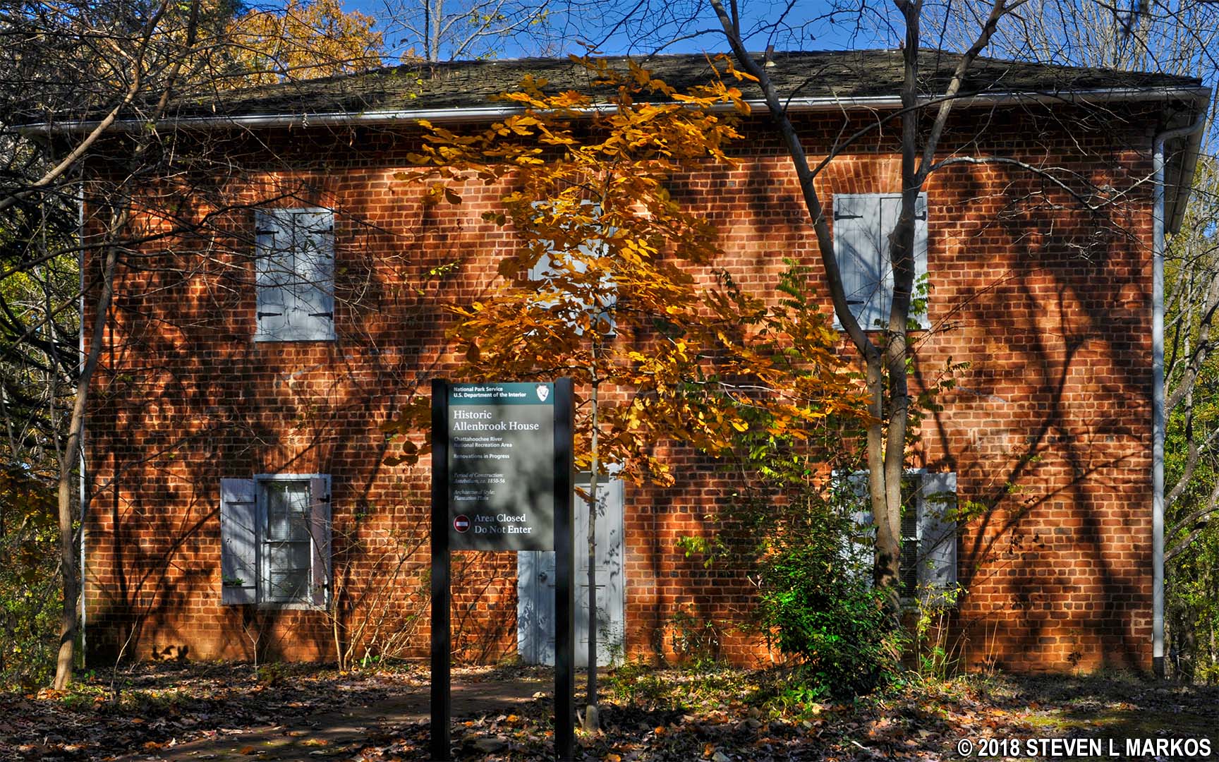
Front of the Allenbrook House facing South Atlanta Street in Roswell, Georgia
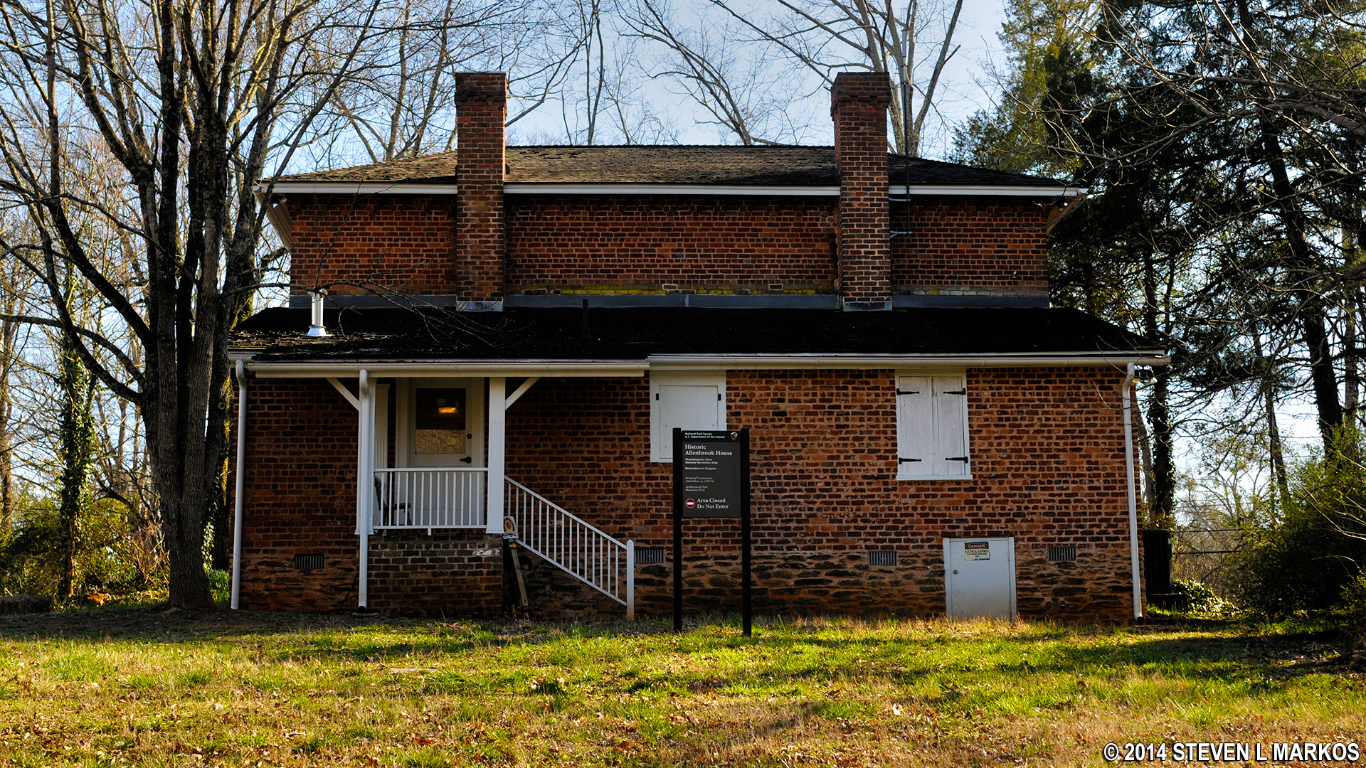
Back of the Allenbrook House on South Atlanta Street in Roswell, Georgia
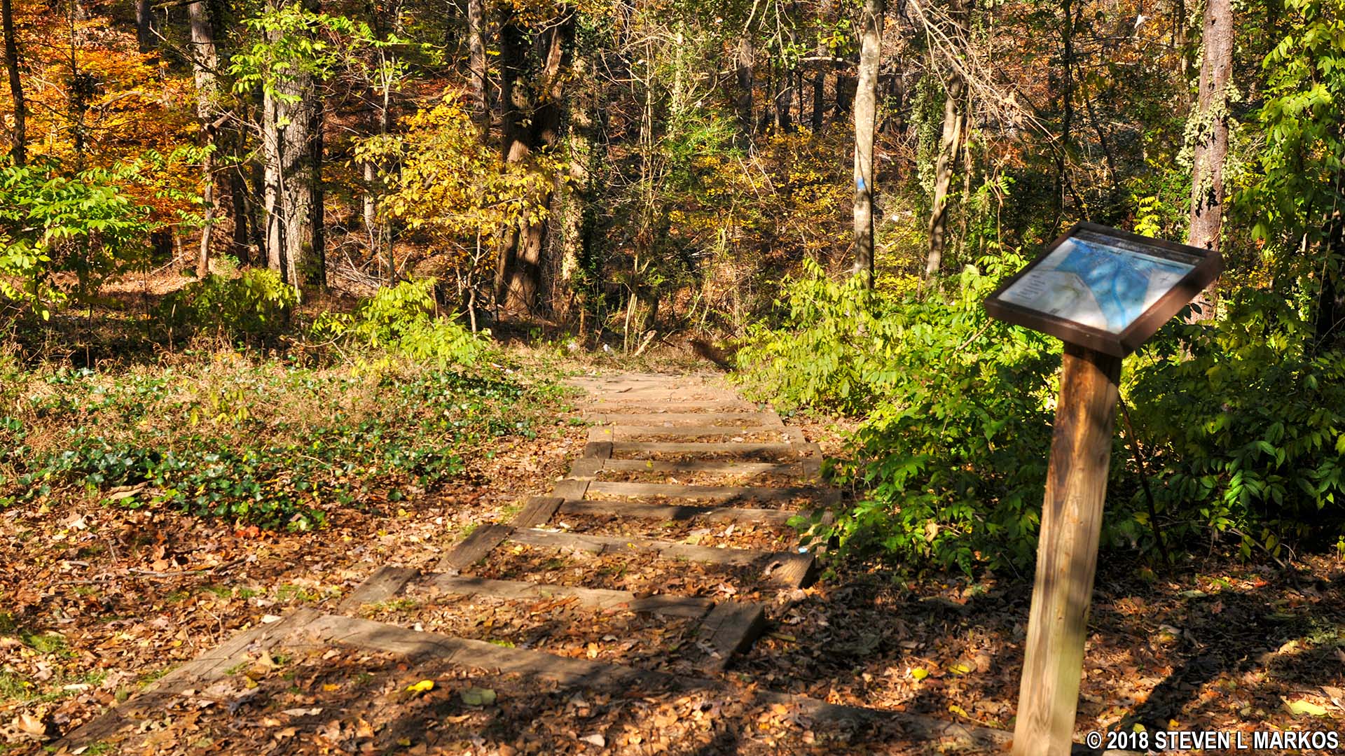
The Allenbrook Trail starts a short distance from the house. Unlike the northern section of the Vickery Creek Unit where you begin hiking at the bottom of a valley, the Allenbrook section begins at the top of a valley. Start the hike by walking down a series of stairs embedded into the steep hillside.
Stairs at intersection AL 1 in the Allenbrook section of Chattahoochee River National Recreation Area’s Vickery Creek Unit
Take a left at the bottom of the stairs (intersection AL 3 on map above) to make a very short walk to an outcropping of rock at AL 4 that provides a grand view of Big Creek (aka Vickery Creek) below.
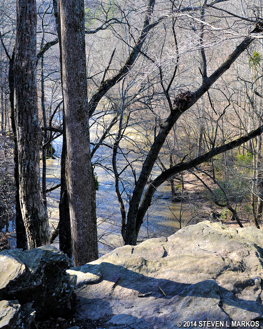
View of Big Creek from the overlook at intersection AL 4 in the Allenbrook section of Chattahoochee River National Recreation Area’s Vickery Creek Unit
When done, return to AL 3 and take a left. The trail forks a short distance ahead (AL 5)—stay to the left. You will soon come to a 40-step staircase that leads down to Big Creek, a wide creek that empties into the Chattahoochee River.
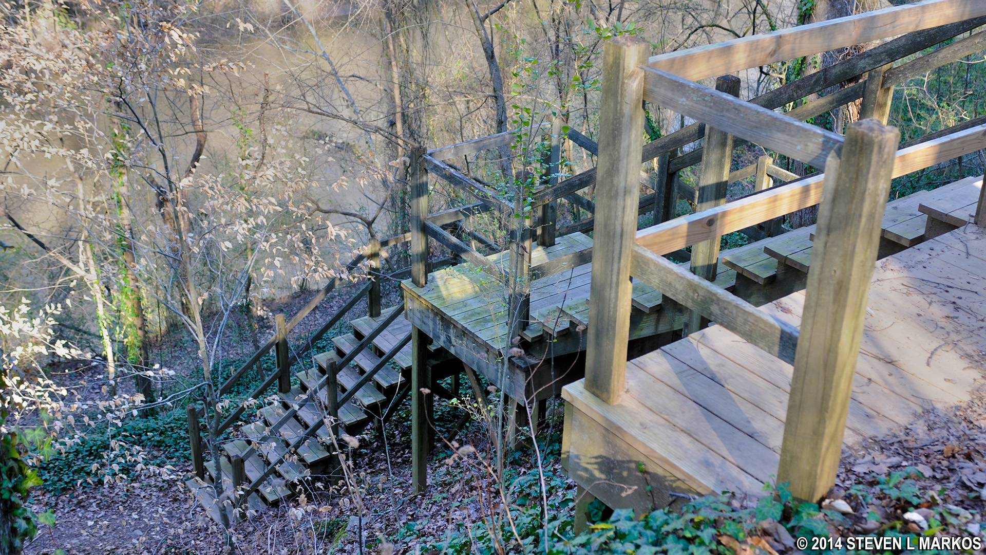
Wooden staircase at intersection AL 5 that leads down to Big Creek in the Allenbrook section of Chattahoochee River National Recreation Area’s Vickery Creek Unit
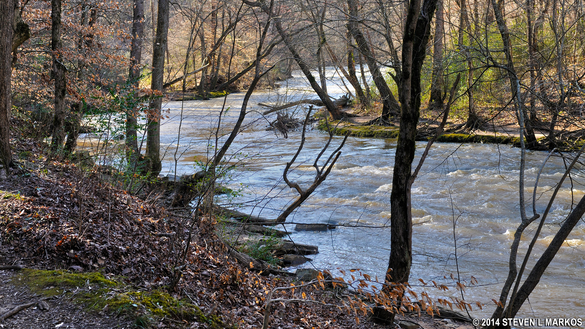
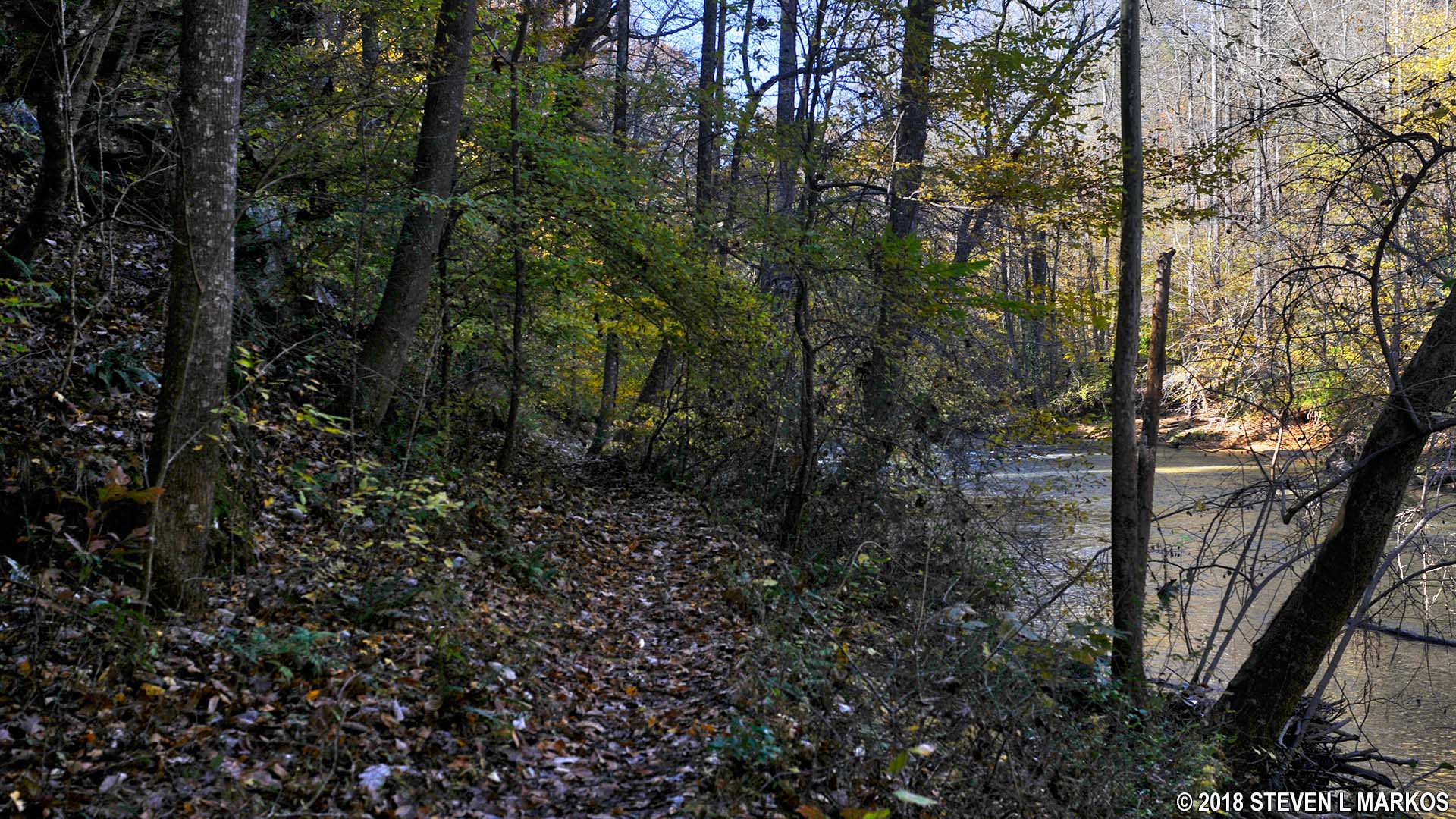
At the bottom of the staircase is intersection AL 6, which is .4 mile from the parking lot. You will find yourself smack dab in the middle of the trail that runs along Big Creek, often close enough that you could jump in if you had a running start.
The Allenbrook Trail runs along Big Creek in the Vickery Creek unit of Chattahoochee River National Recreation Area
I continued the hike by first heading to the right towards intersection AL 7 near South Atlanta Street and Riverside Road, just .2 mile away. This section is not as popular as the trail to the left, so it tends to get overgrown. There are plenty of briers, plus the heavy brush tends to obscure views of the river. In truth, you are better off skipping this section.
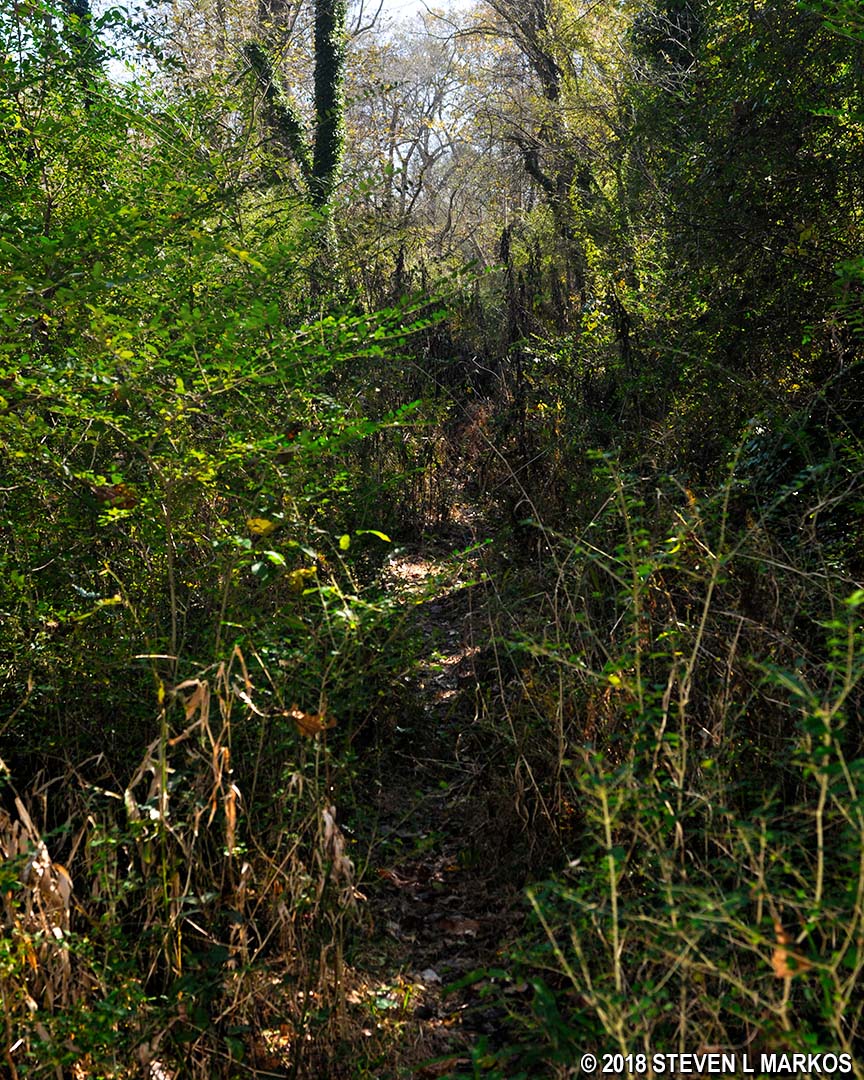
Overgrown section of the Allenbrook Trail between AL 6 and AL 7 in the Vickery Creek unit of Chattahoochee River National Recreation Area
I hiked to the road on a previous visit, but this time around the trail was flooded at the very end, so I could only get to the National Park Service trail sign that marks intersection AL 7; the road is less than fifty yards farther ahead. The Allenbrook section of the Vickery Creek Unit actually continues on the other side of Riverside Road and borders the Chattahoochee River. It is here that you will find the Ivy Mills ruins. However, while you can see the park property and the ruins from the street, you cannot access the park from here, for everything lies at the bottom of a very steep embankment covered with thick brush. Access is from a Roswell City park on Riverside Road, just a short distance east of the intersection with South Atlanta Street.
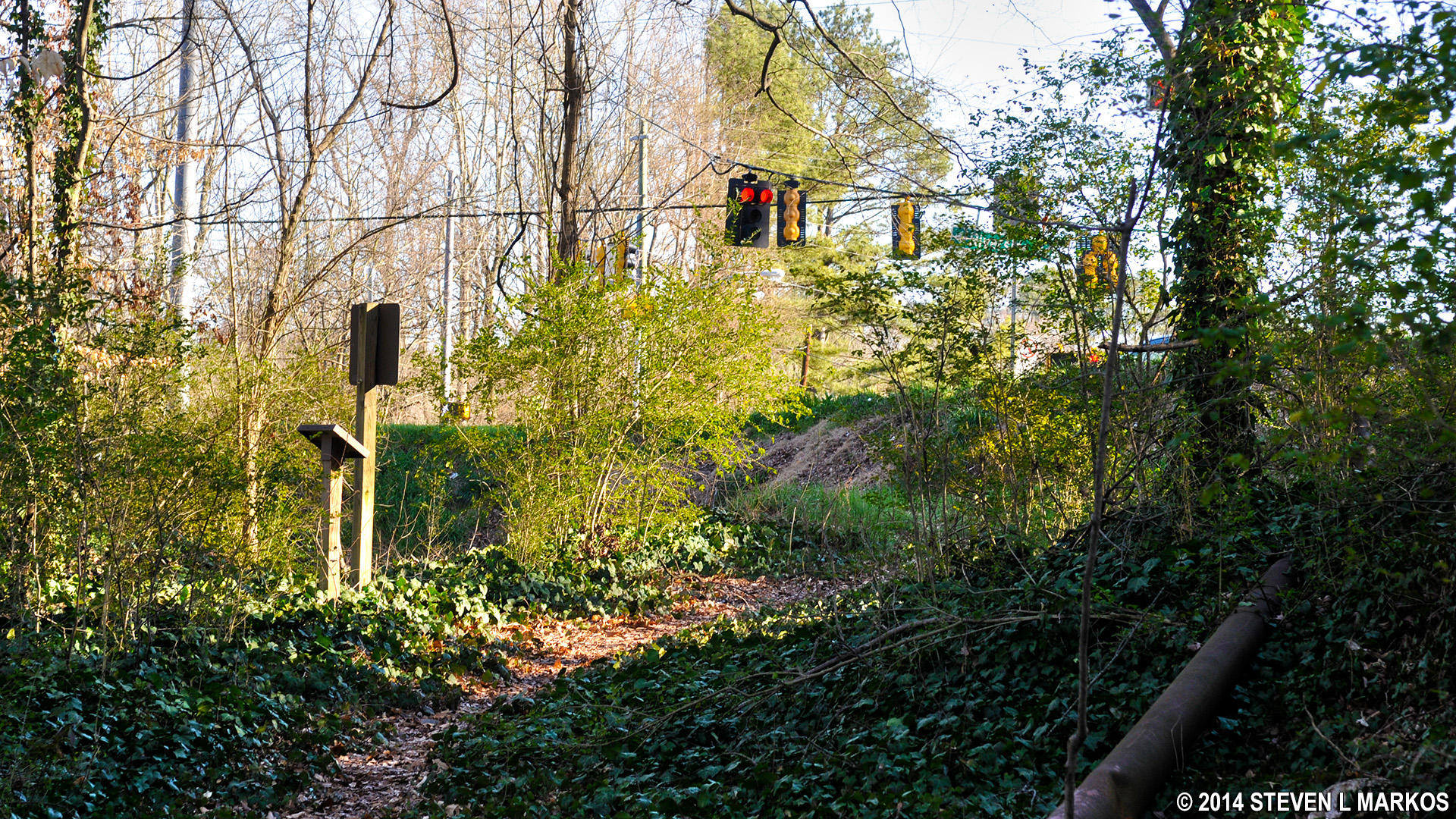
Allenbrook Trail’s eastern terminus at Riverside Road, Chattahoochee River National Recreation Area
The better decision is to take a left at AL 6 and hike towards AL 8. This section of the trail is well traveled and has much better views of the river. There is even one spot where you can climb down a three-foot embankment and get to a small beach directly on Big Creek.
Typical terrain on the Allenbrook Trail between intersections AL 6 and AL 8 in the Vickery Creek unit of Chattahoochee River National Recreation Area
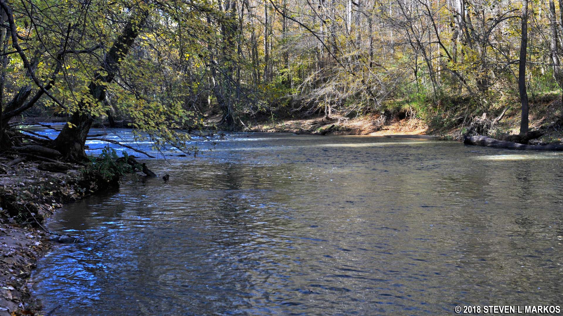
Big Creek near intersection AL 8 on the Allenbrook Trail in the Vickery Creek unit of Chattahoochee River National Recreation Area
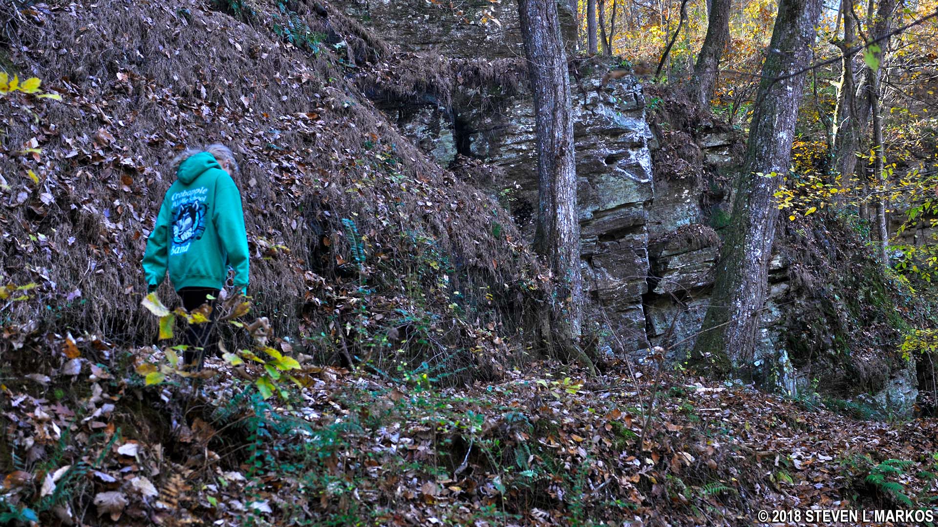
The trail ends at a large rock outcropping, .3 mile from AL 6. The park map doesn’t show it properly, but you are now directly below the overlook that you encountered at the start of the hike. It is possible to proceed a little farther, but that would take hacking your way through the brush. Thus, turn around when you reach the trail sign marking AL 8 and head back to the parking lot to complete the hike.
End of the Allenbrook Trail at AL 8, Chattahoochee River National Recreation Area
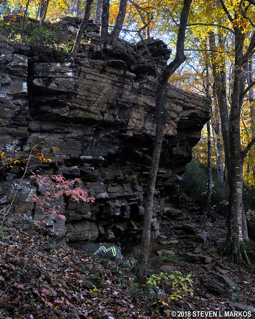
Cliff at AL 8 on the Allenbrook Trail in the Vickery Creek unit of Chattahoochee River National Recreation Area
With a few exceptions, use of any photograph on the National Park Planner website requires a paid Royalty Free Editorial Use License or Commercial Use License. See the Photo Usage page for details.
Last updated on May 27, 2024


