
Lava’s Edge Trail at Sunset Crater Volcano National Monument
Length: 1.8-miles (one way)
Time: 1 hour (2 hours round trip)
Difficulty: ★★☆☆☆
The Lava’s Edge Trail at Sunset Crater Volcano National Monument is a 1.8-mile out-and-back trail that follows along the edge of the Bonito Lava Flow. It has two trailheads, one at the Visitor Center and another 1.3 miles farther down the road to the east at a pull-off parking area (hikers can also access the A’a Trail and the Lenox Crater Trail from here). I started at the pull-off and hiked west, and this report is written from that perspective. Keep in mind that if you do not have a ride at the end, you have a 1.8-mile return trip ahead of you.
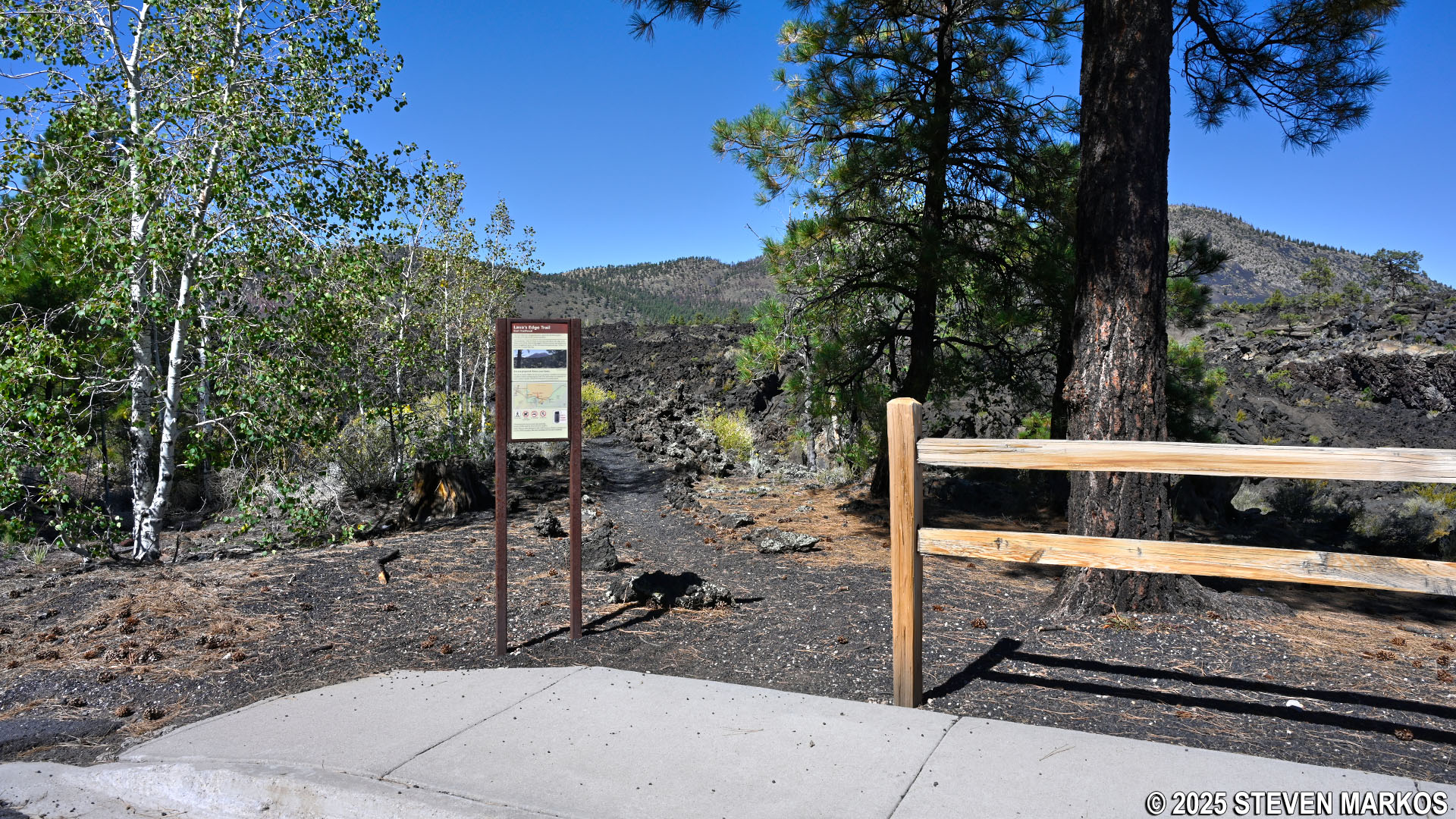
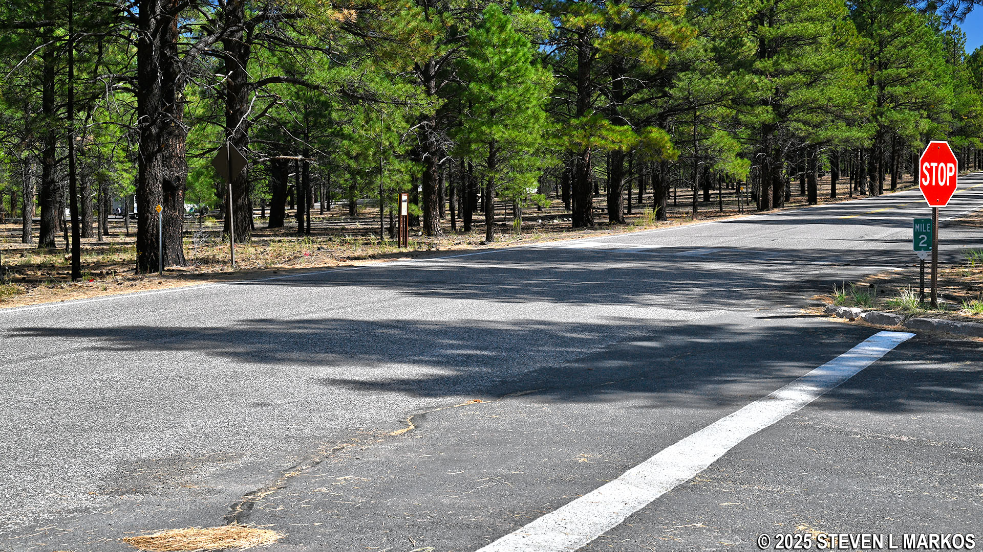
Eastern trailhead for the Lava’s Edge Trail at Sunset Crater Volcano National Monument
The eastern trailhead is located on the west side of the parking area and starts off as a well-groomed path before reaching the lava flow. There are some areas with larger rocks embedded in the trail’s surface, so be careful not to trip and fall on the sharp lava rocks around you.
Start of the Lava’s Edge Trail at Sunset Crater Volcano National Monument
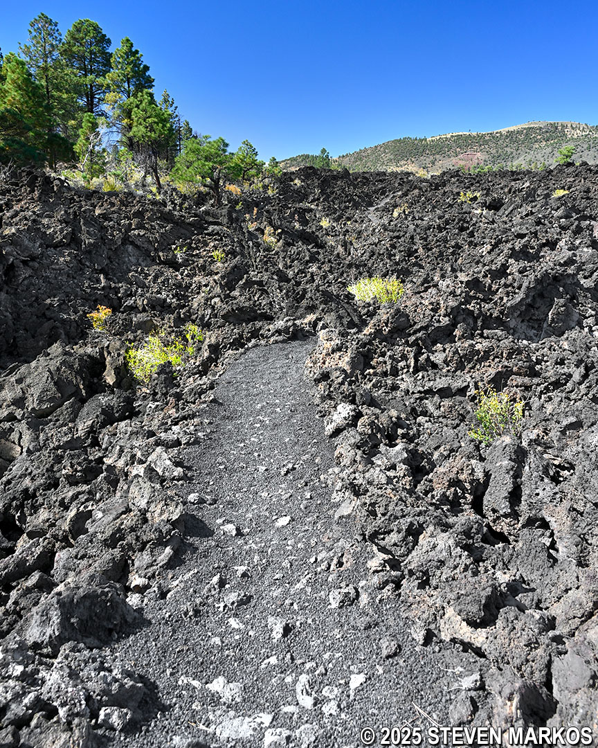
Rocky terrain on the Lava’s Edge Trail at Sunset Crater Volcano National Monument
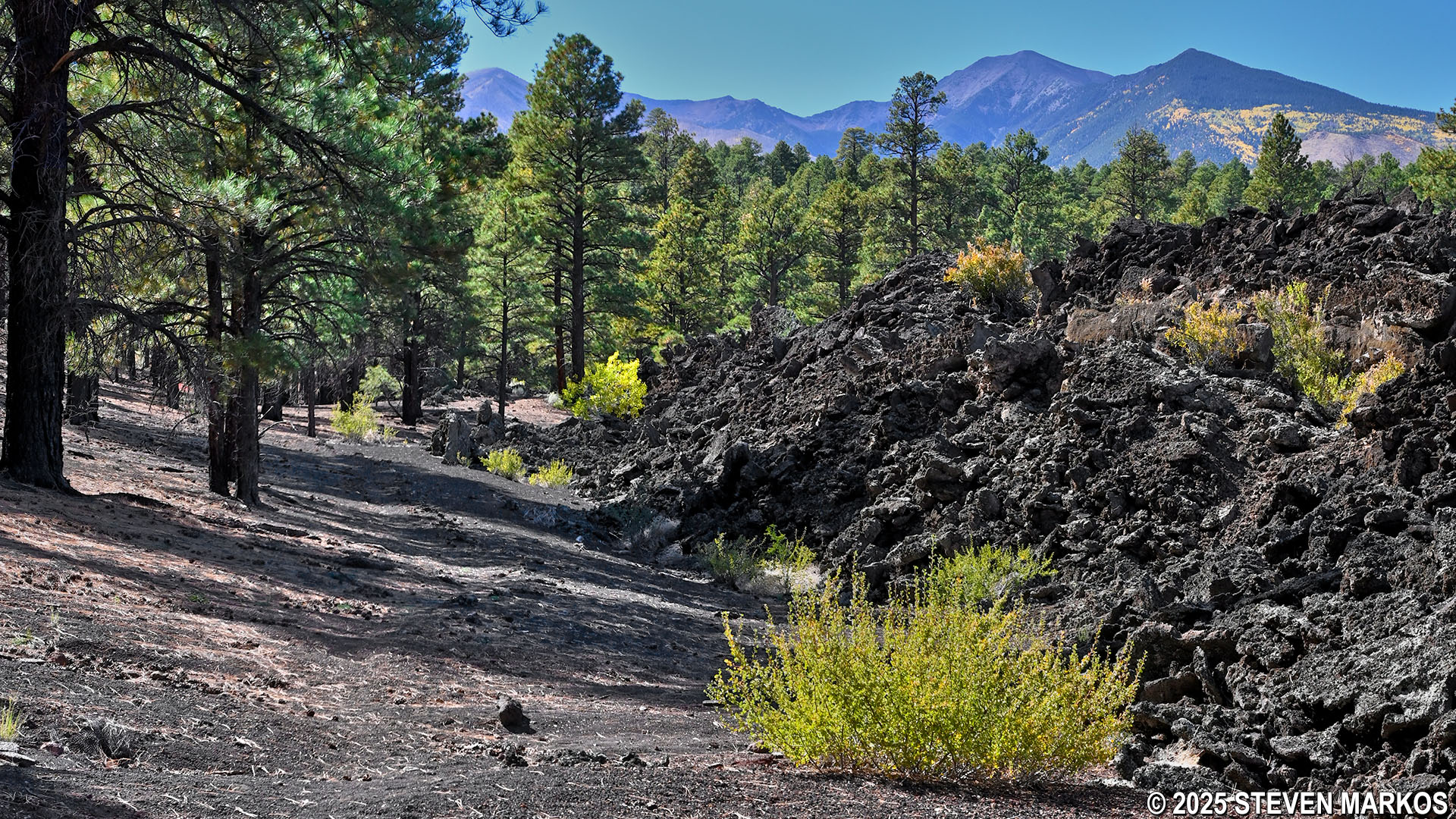
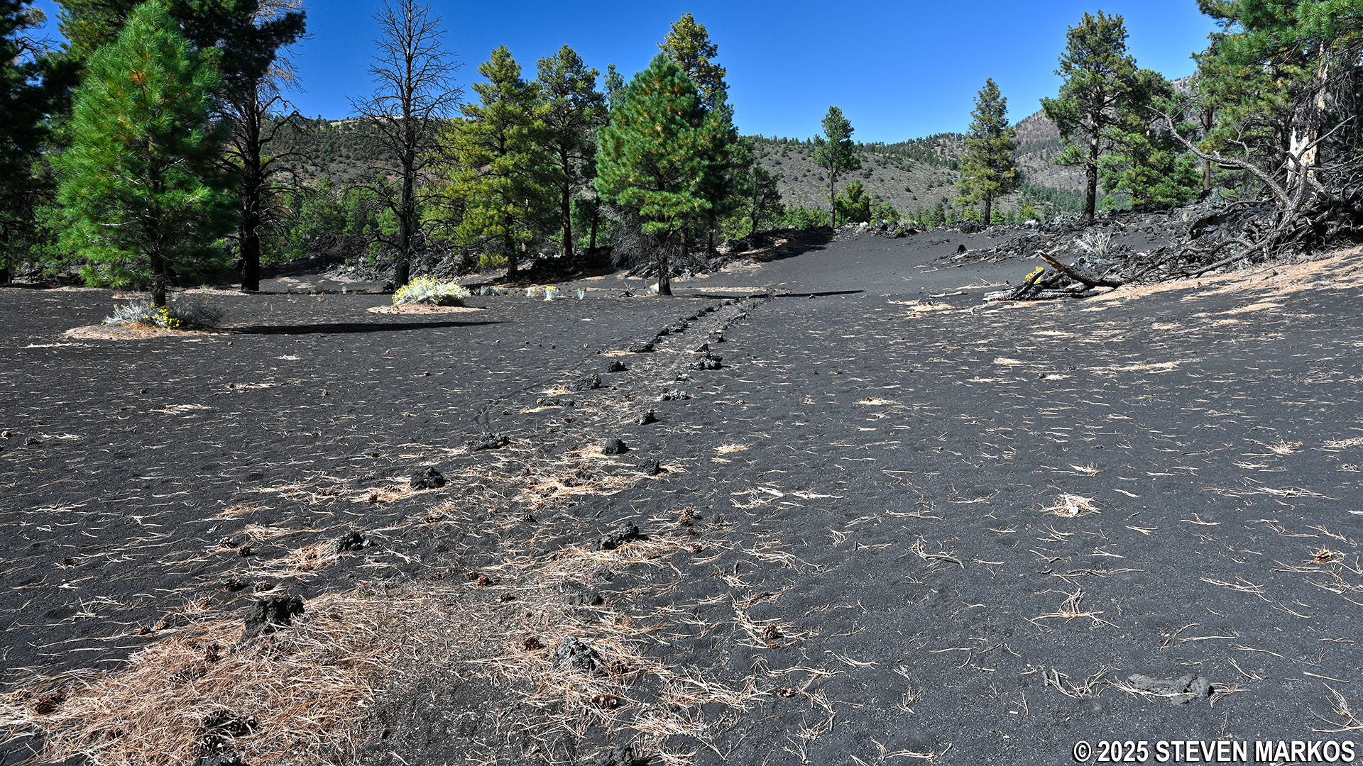
The Lava’s Edge Trail winds through the Bonito Lava Flow for the first quarter mile. At times, it almost feels as if you are hiking through a sea of lava. Looking to the northwest, there are fantastic views of O’Leary Peak, an extinct lava dome volcano in the surrounding San Francisco Volcanic Field. Covering more than 1,800 square miles in northern Arizona, this volcanic field features over 600 volcanoes.
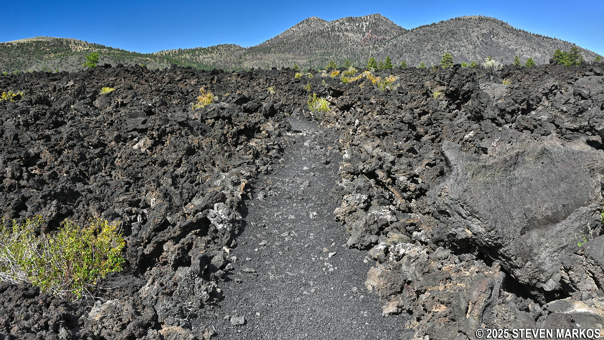
View of O’Leary Peak and the Bonito Lava Flow from the Lava’s Edge Trail, Sunset Crater Volcano National Monument
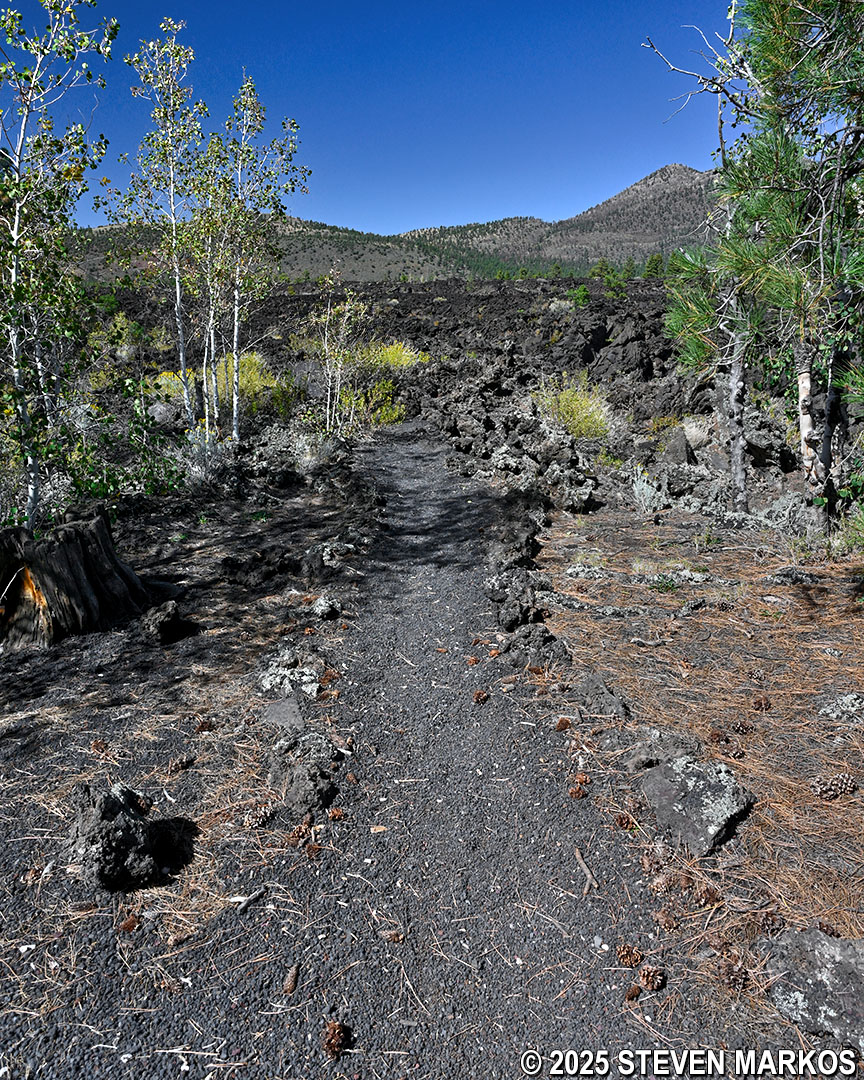
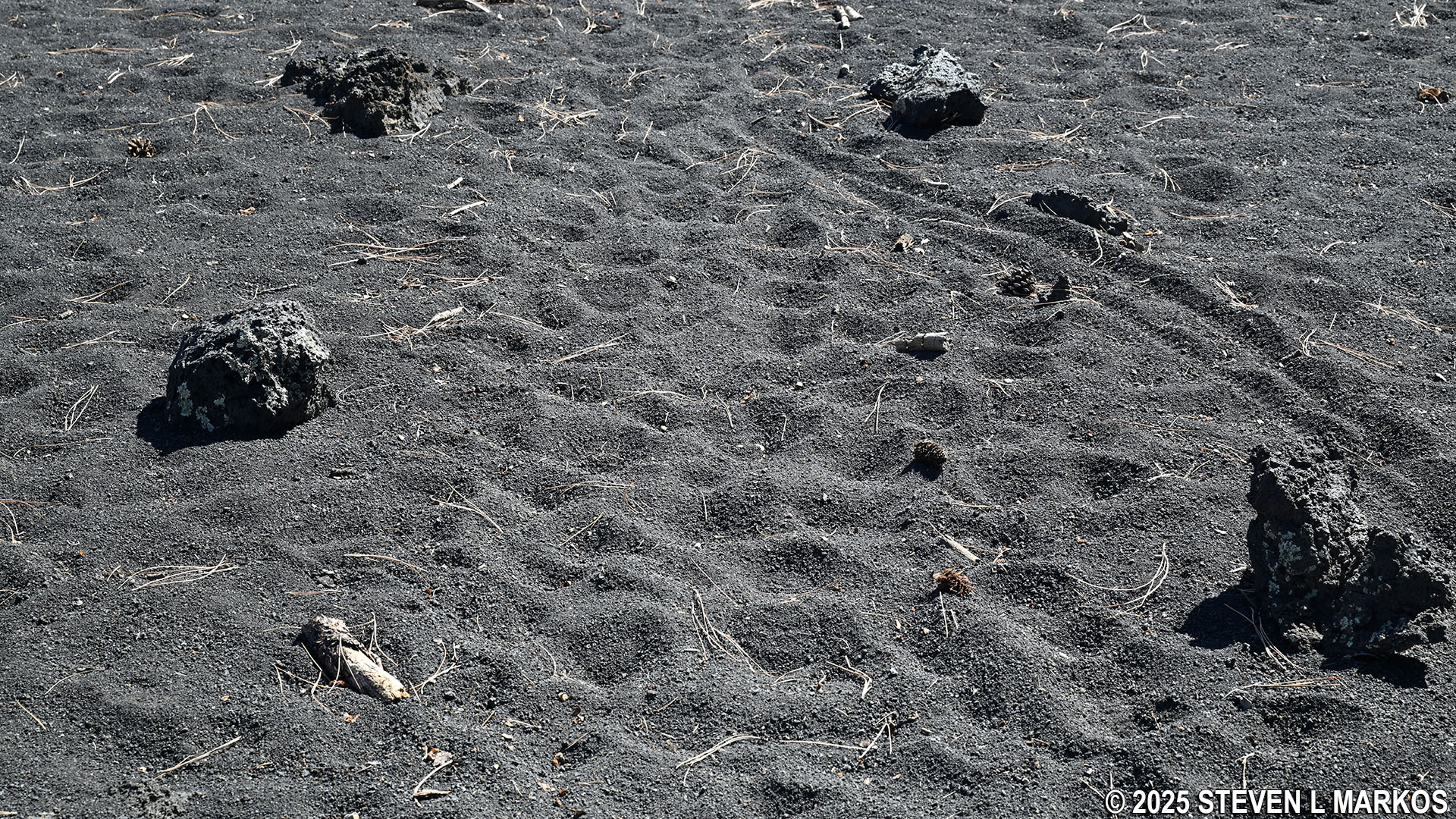
As the Lava’s Edge Trail heads into a forest of ponderosa pine trees, it now runs along the edge of the lava flow instead of through it. The trail is now largely a smooth path of finely crushed lava rocks, almost sand-like, and remains that way until ending at the Visitor Center. A short-but-steep hill at the .35-mile mark is one of just a few rocky sections.
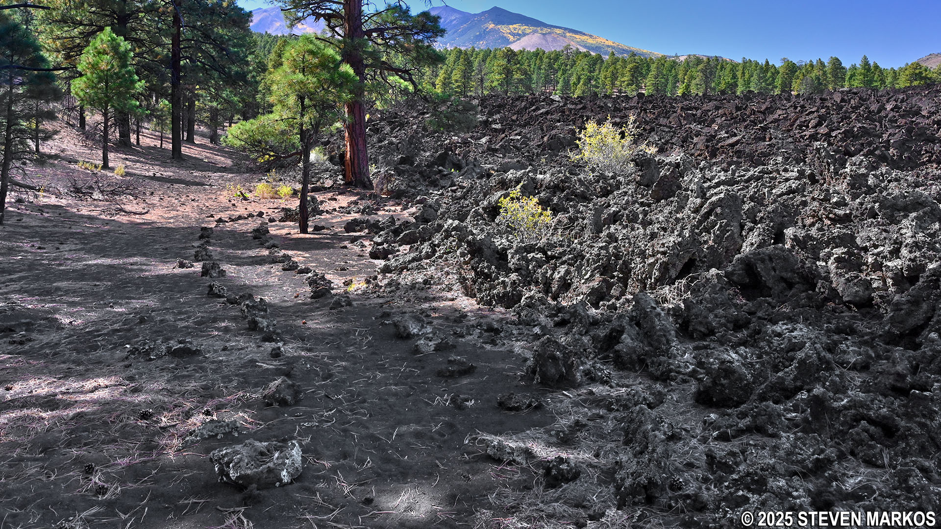
Typical terrain of the Lava’s Edge Trail as it runs along the edge of the Bonito Lava Flow, Sunset Crater Volcano National Monument
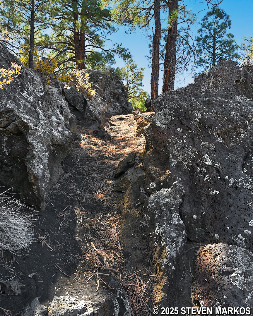
Short, steep hill on the Lava’s Edge Trail at Sunset Crater Volcano National Monument
Two-thirds of a mile in, the trail crosses through the park boundary fence and enters Coconino National Forest. If you are hiking from the Visitor Center, note that there is a sign advising that no pets are allowed on the portion of the trail within Sunset Crater Volcano National Monument (the lava rocks can hurt their paws). Pets are allowed in the national forest, so if you want to hike with your pet, you can always start the Lava’s Edge Trail at the Visitor Center and turn back at the fence for a 2.25-mile round trip hike.
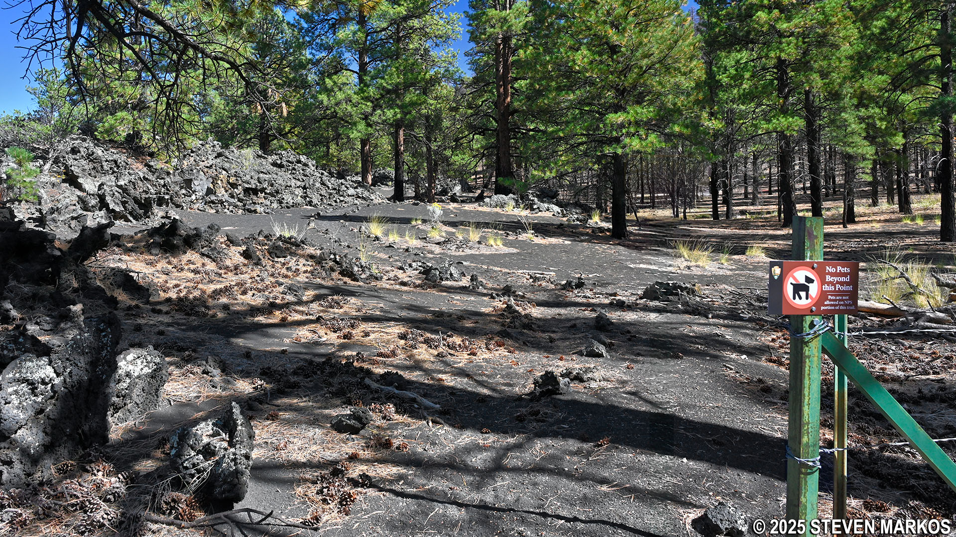
Park boundary fence on the Lava’s Edge Trail at Sunset Crater Volcano National Monument
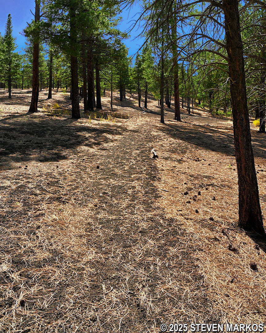
The Lava’s Edge Trail within Coconino National Forest continues across what can be described as black beach sand. In fact, walking on the finely crushed lava rock is just like walking on the beach, and in some places it is deep enough to actually slow your progress.
Typical terrain on the Lava’s Edge Trail within Coconino National Forest
Deep lava rock sand on the Coconino National Forest section of the Lava’s Edge Trail
At the 1.3-mile mark on the hike, the Lava’s Edge Trail begins to climb gradually uphill for the next quarter mile. The slope is so gradual that you might not even notice you are walking uphill.
Gradual ascent at the western end of the Lava’s Edge Trail in Coconino National Forest
At the top of the hill, the Lava’s Edge Trail passes the Bonito Campground in Coconino National Forest. There is no camping within Sunset Crater Volcano National Monument.
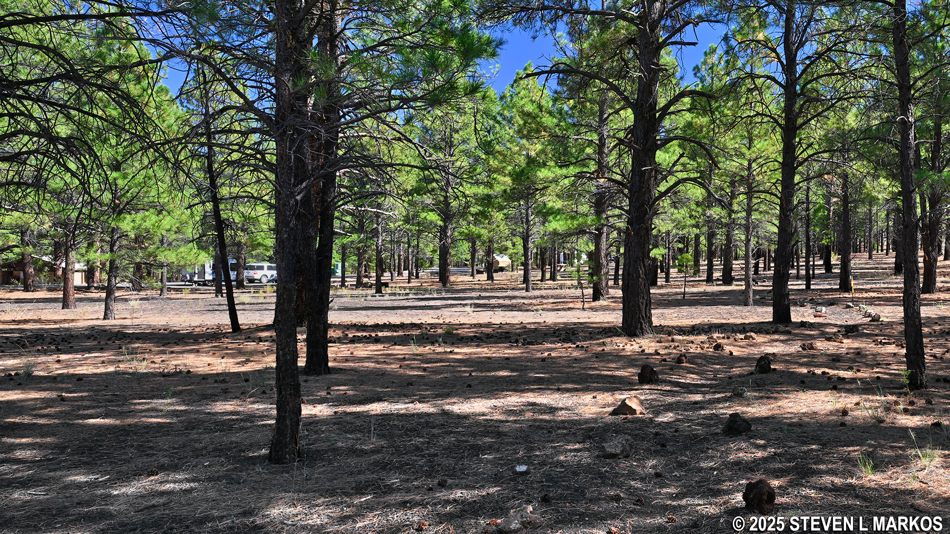
View of the Bonito Campground in Coconino National Forest from the Lava’s Edge Trail
Once you see the campground, it is just .2 miles to the end of the trail at the park road across from the Visitor Center. If you don’t have a ride waiting and must now hike back, there is no reason to continue all the way to the Visitor Center unless you specifically want to see it.
Western end of the Lava’s Edge Trail at the Sunset Crater Volcano Visitor Center
Hiking through the Bonito Lava Flow is certainly one of the highlights of a visit to Sunset Crater Volcano National Monument, and the Lava’s Edge Trail is a great way to see it. However, if you do not have a ride back to the start and do not want to hike 3.6 miles, the very short .2-mile A’a Trail is an excellent alternative, as it also passes through the Bonito Lava Flow.
With a few exceptions, use of any photograph on the National Park Planner website requires a paid Royalty Free Editorial Use License or Commercial Use License. See the Photo Usage page for details.
Last updated on January 2, 2026


