
Bouchoux Trail near Lordville, New York
Length: 1.2 mile, one-way (2.4 miles round trip)
Time: 1.5 hours
Difficulty: Strenuous
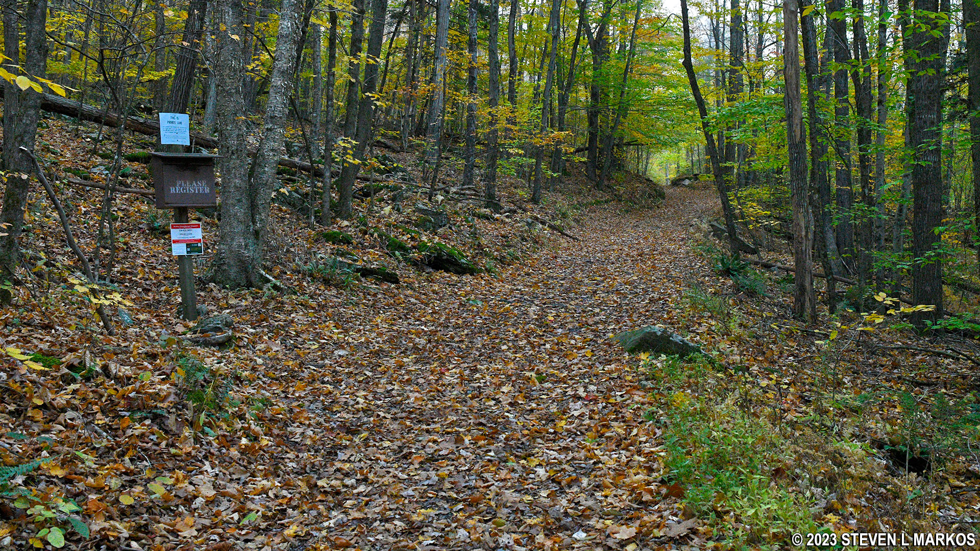
The Bouchoux Trail is located near Lordville, New York, at the end of Bouchoux Road. Most of the trail is on private land, as is the parking lot, so stick to the trail to avoid trespassing. The land owner allows visitors to hike the trail only.
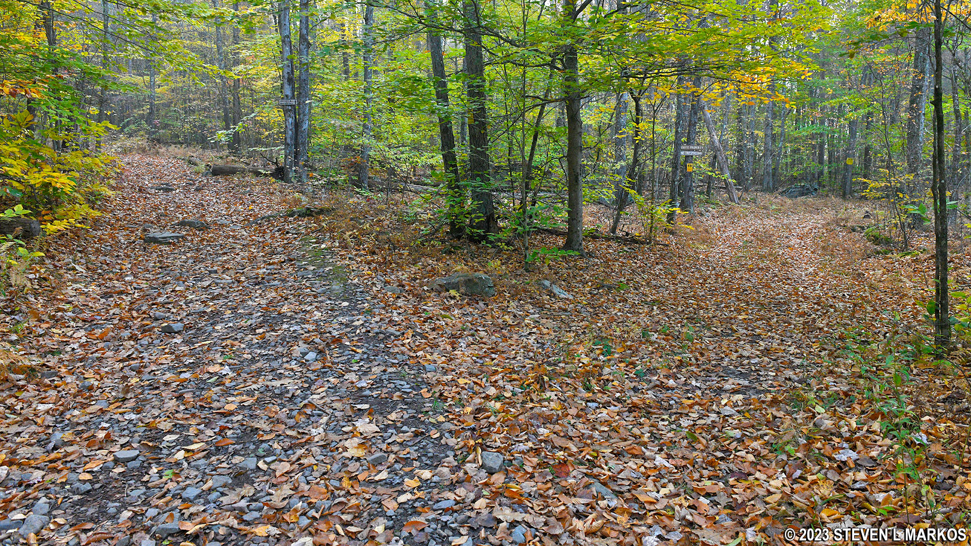
I was very confused as to where the Bouchoux Trail began because there are two trailheads at the parking lot. One trail heads uphill from near the entrance, and the other trail runs downhill to the Delaware River from the far end of the parking lot. They are actually both part of the Bouchoux Trail, but the one to hike is the one that heads uphill.
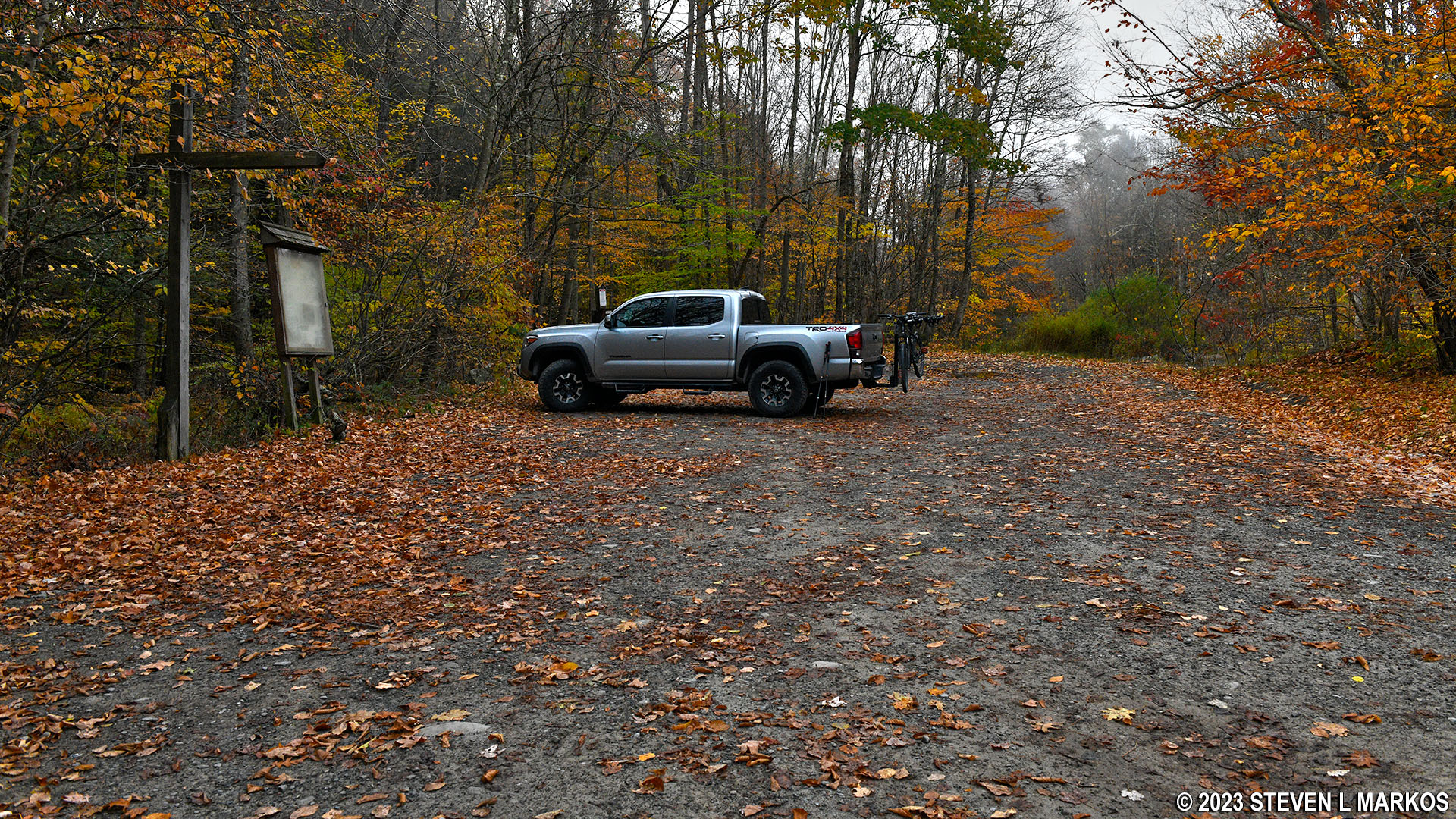
Parking lot for the Bouchoux Trail near Lordville, New York
Start of the Bouchoux Trail near Lordville, New York
There is a trail map in a display case at the parking lot. According to the map, the Bouchoux Trail runs all the way to China, but you don’t need to walk that far because the whole point of the hike is to get to a scenic view of the Upper Delaware River Valley from an overlook known as Jensen’s Ledges. There is no need to hike farther. I did only to find that the trail peters out and disappears about a half mile from the overlook.
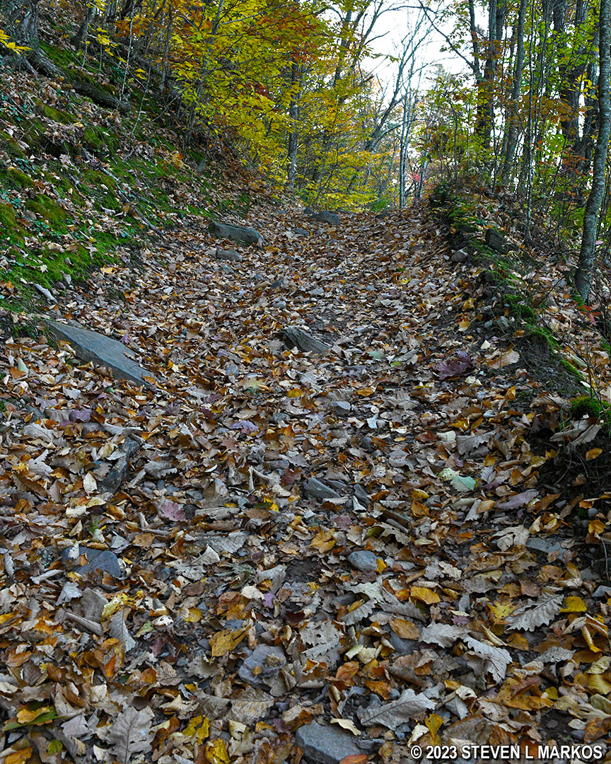
The Bouchoux Trail begins up a moderate hill. It is an old dirt road, but it’s pretty rutted and full of ankle breakers—loose, fist-size rocks. I hiked it in the fall when it was covered with leaves, so I never knew what my foot was going to come down upon. If you have bad ankles, this is not the trail for you.

Terrain at the start of the Bouchoux Trail near Lordville, New York
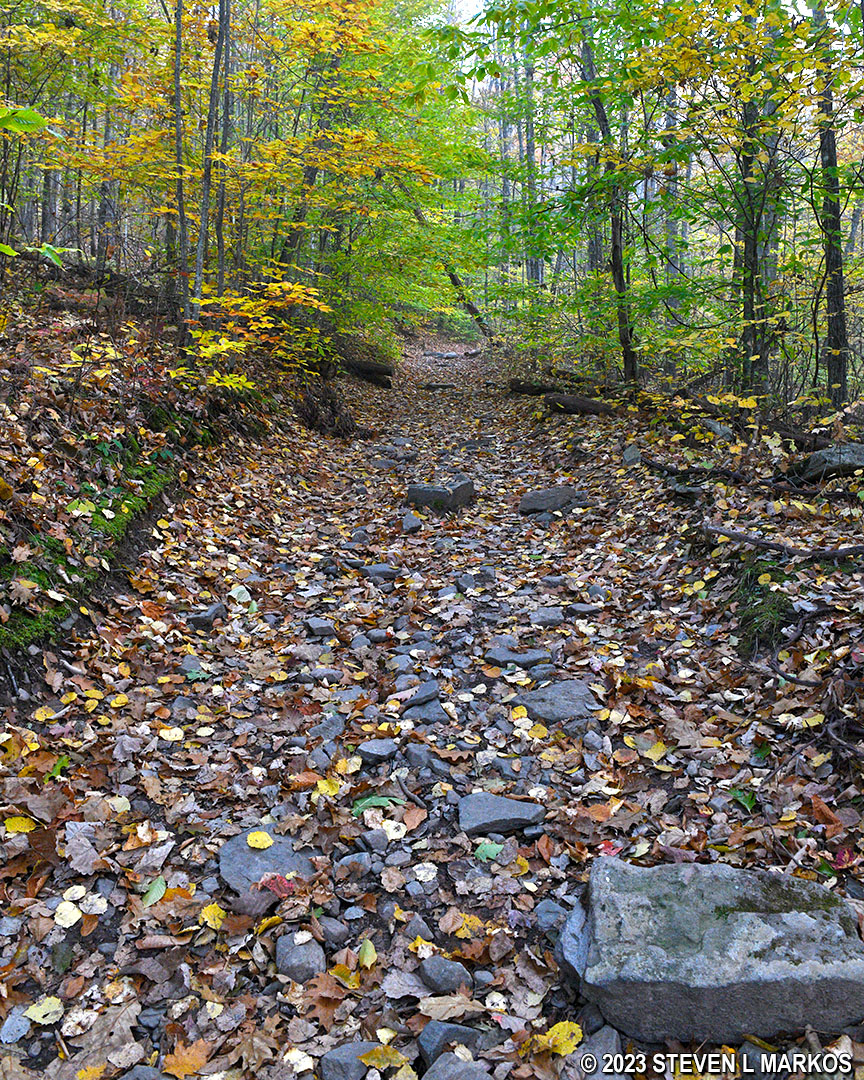
Rocky terrain on the Bouchoux Trail near Lordville, New York
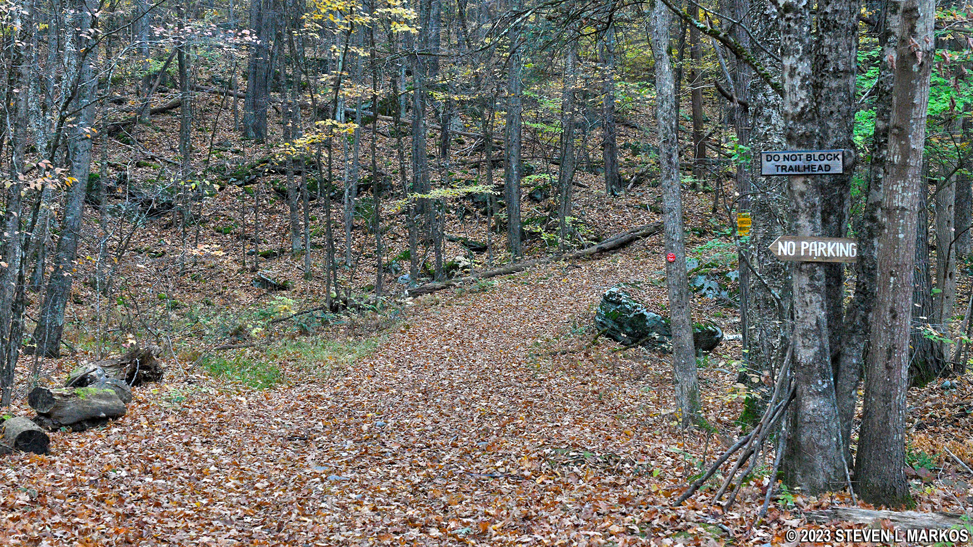
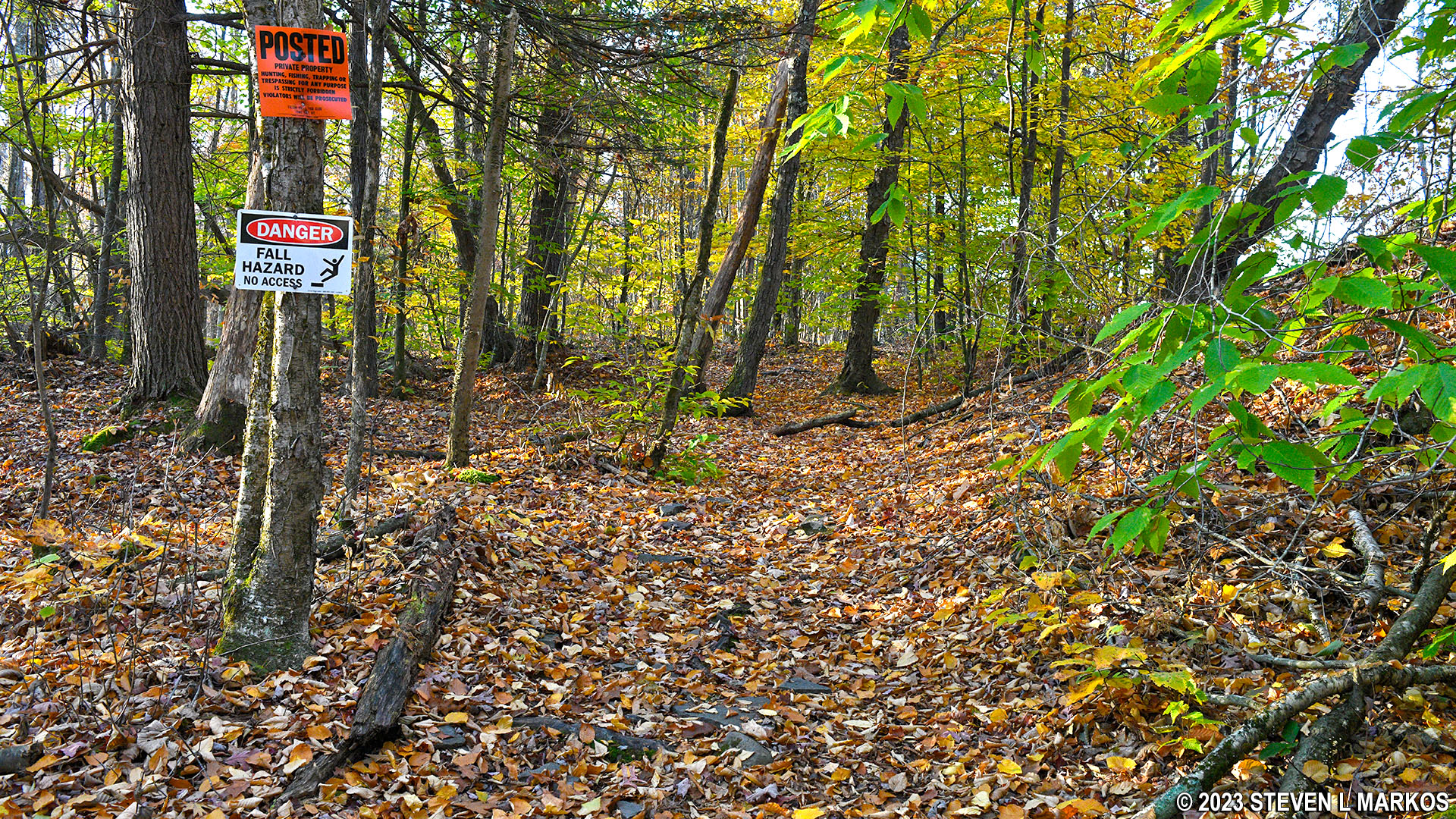
Not far from the start, the trail forks. While there is no indication as to which way to go, the fork to the right is marked with a NO TRESSPASSING sign, so stay to the left.
Fork near the start of the Bouchoux Trail near Lordville, New York
After a quarter mile the hill becomes very steep, and it continues for quite a while. Although it was near freezing when I hiked the trail in late October, I quickly shed my jacket, hoodie, and hat, leaving only my T-shirt, due to the heat my body generated while climbing the hill.
Steep terrain of the Bouchoux Trail near Lordville, New York
The steep portion of the hike ends around the half-mile point, though there are still hills for the next quarter mile until the trail reaches the mountain summit. However, compared to before, it’s almost level.
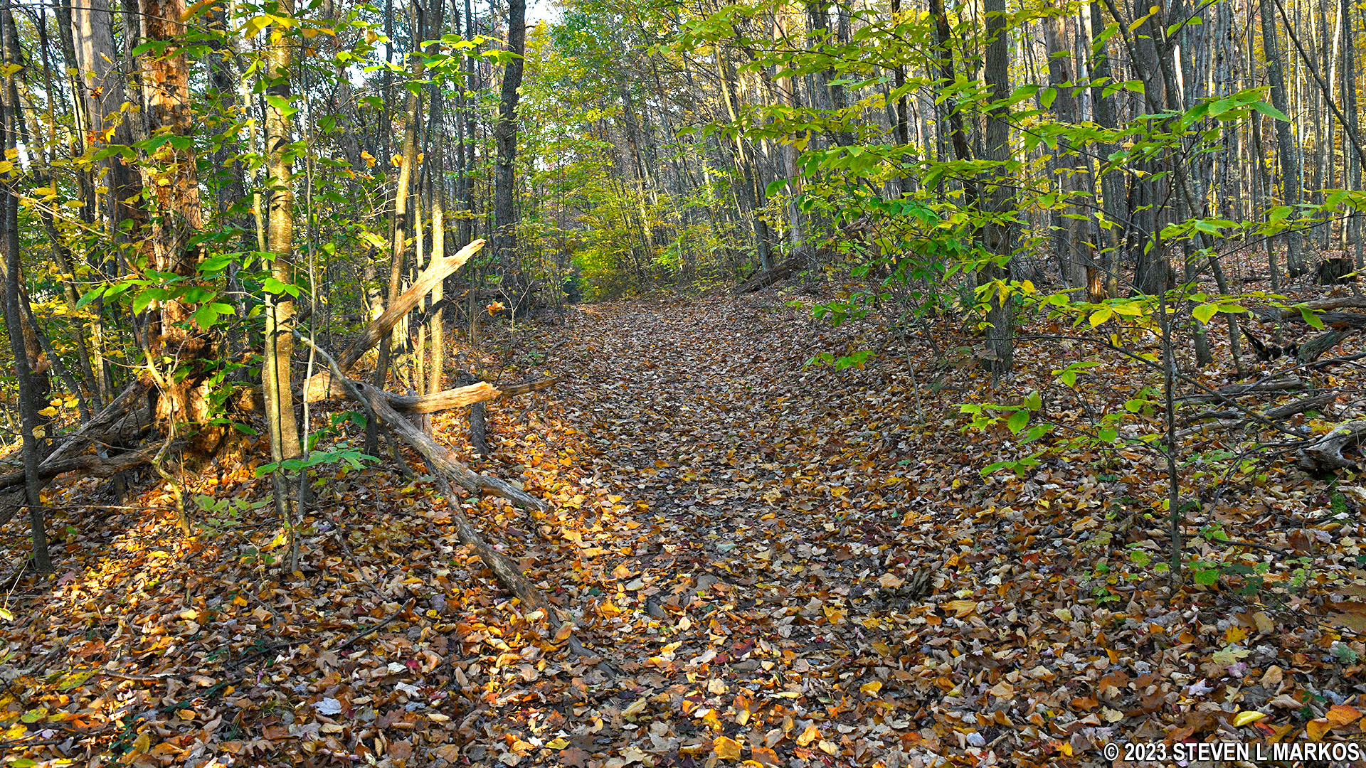
The Bouchoux Trail levels out after three quarters of a mile
At the one-mile point, the Bouchoux Trail crosses a stream. Per a brochure I read earlier, once at the stream be on the lookout for the turnoff to Jensen’s Ledges. As a detour, you can follow the stream out to a ledge. A sign warns of DANGER, FALL HAZZARD, but you can see the ledge without actually walking out onto it. I took a photo and returned to the main trail.
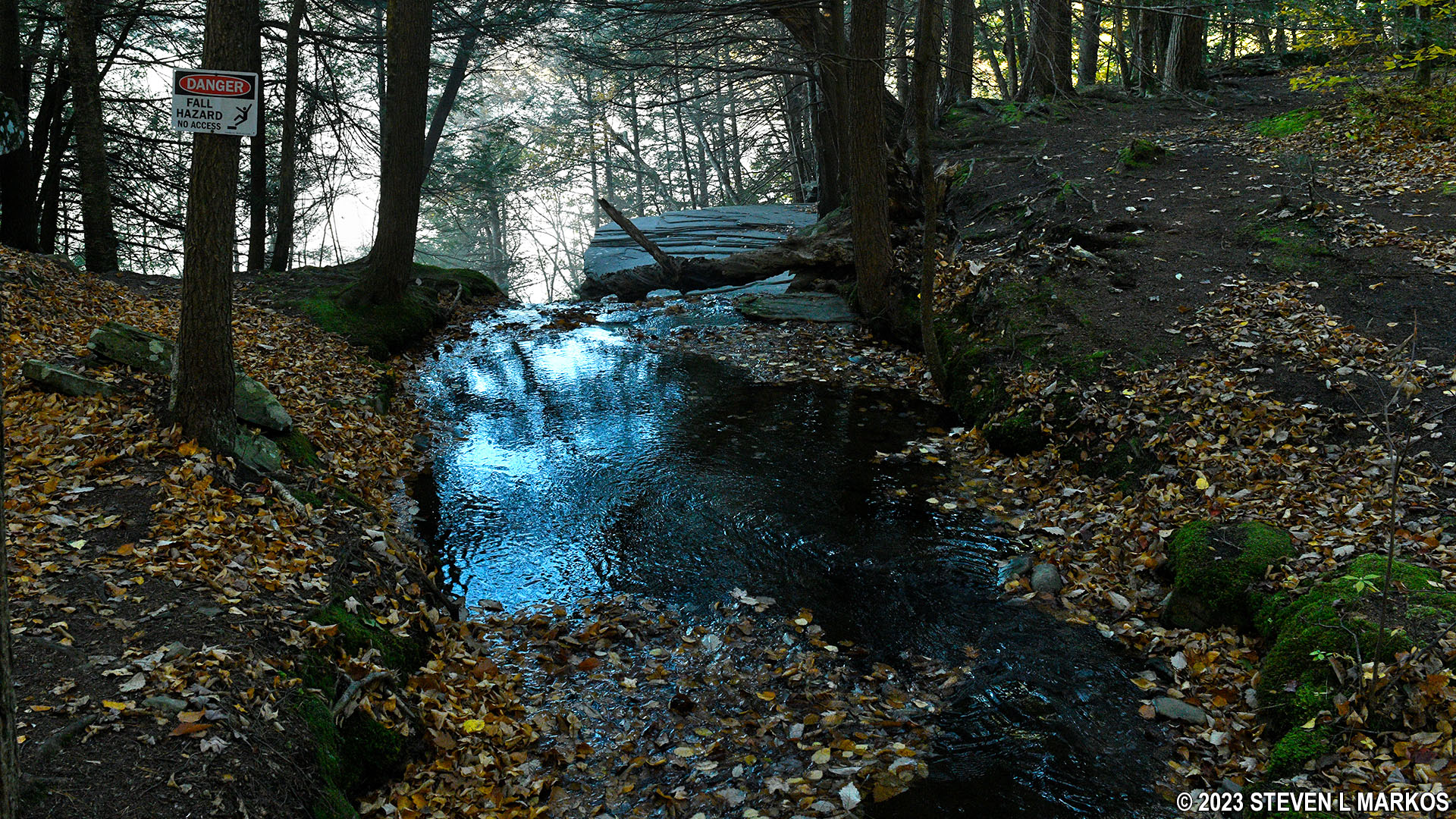
Stream a mile into the Bouchoux Trail near Lordville, New York
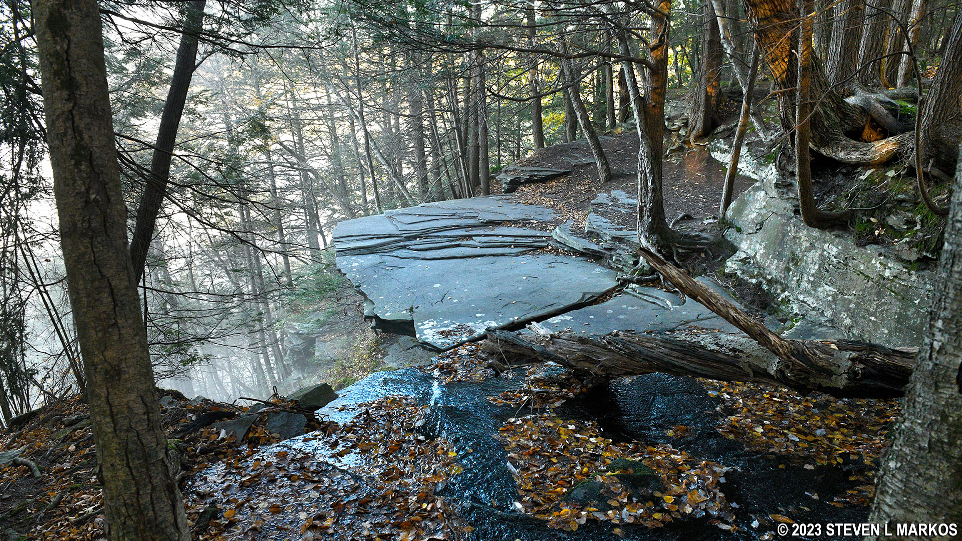
Stream along the Bouchoux Trail cascades down a cliff
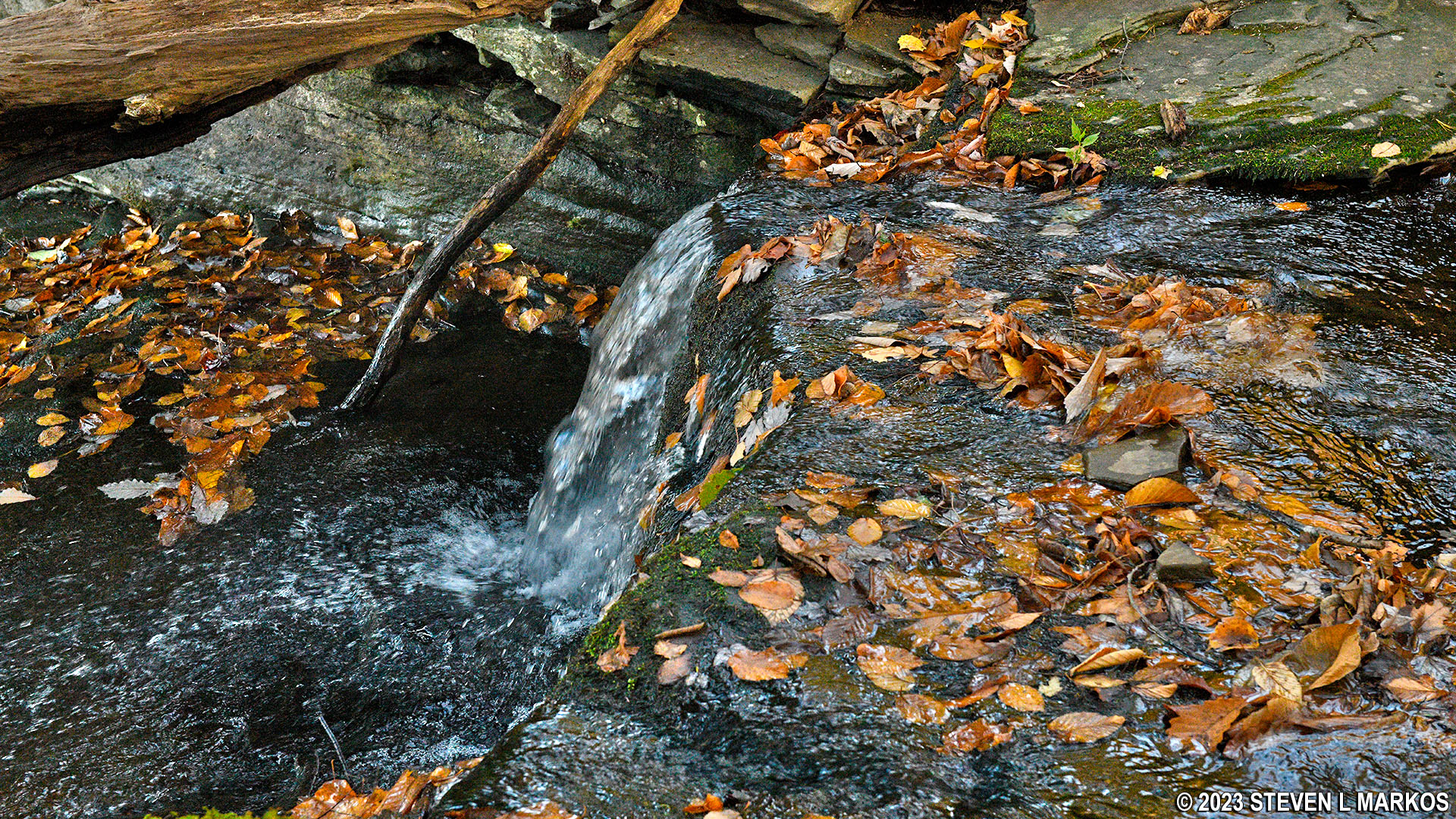
Stream crossed by the Bouchoux Trail forms a small cascade
A few minutes past the stream is another DANGER sign. This marks the turnoff from the Bouchoux Trail onto a .2-mile side trail to Jensen’s Ledges (the NO TRESSPASSING sign is referring to hunting, trapping, and fishing off the trail). You’ll actually see the ledges as you walk, and you might think you need to bushwhack your way through the forest and cut across a giant pit to get there, but just stick to the trail. It leads right to the ledges. And by the way, the FALLING HAZZARD just applies to those stupid enough to step off the ledge. As long as you don’t do that, you will be OK.
Turnoff from the Bouchoux Trail that leads to Jensen’s Ledges
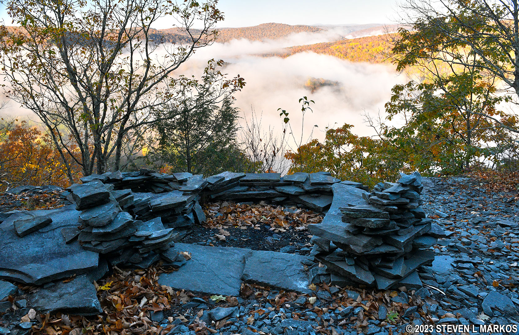
I arrived at Jensen’s Ledges when the fog was just lifting, so I got some neat photos of the Upper Delaware River Valley.
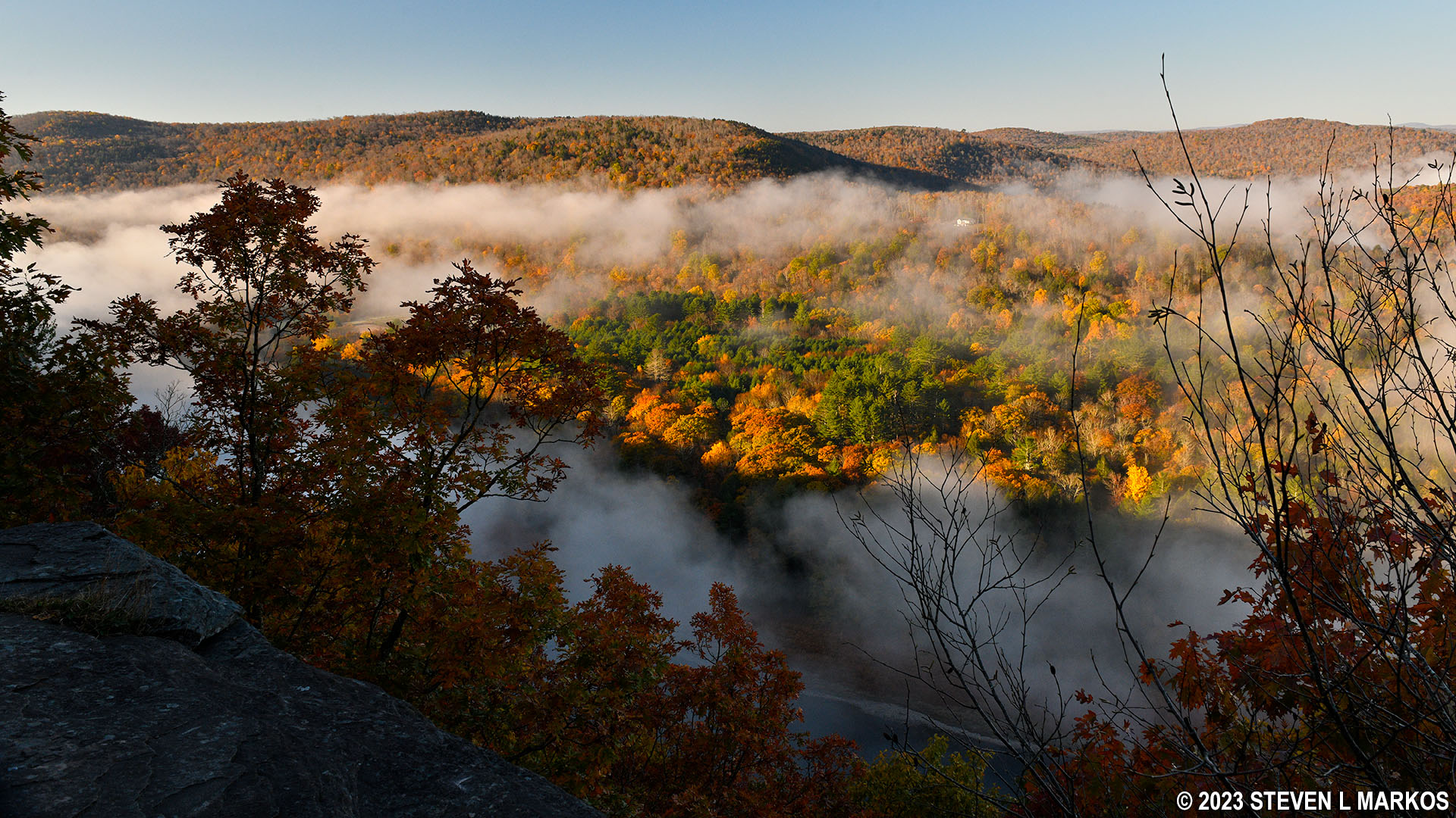
View of the Upper Delaware River Valley from Jensen’s Ledges near Lordville, New York
In addition to the scenic view, people have built stone sculptures from the bluestone slabs that are common along the ledges. This area was once quarried for bluestone.
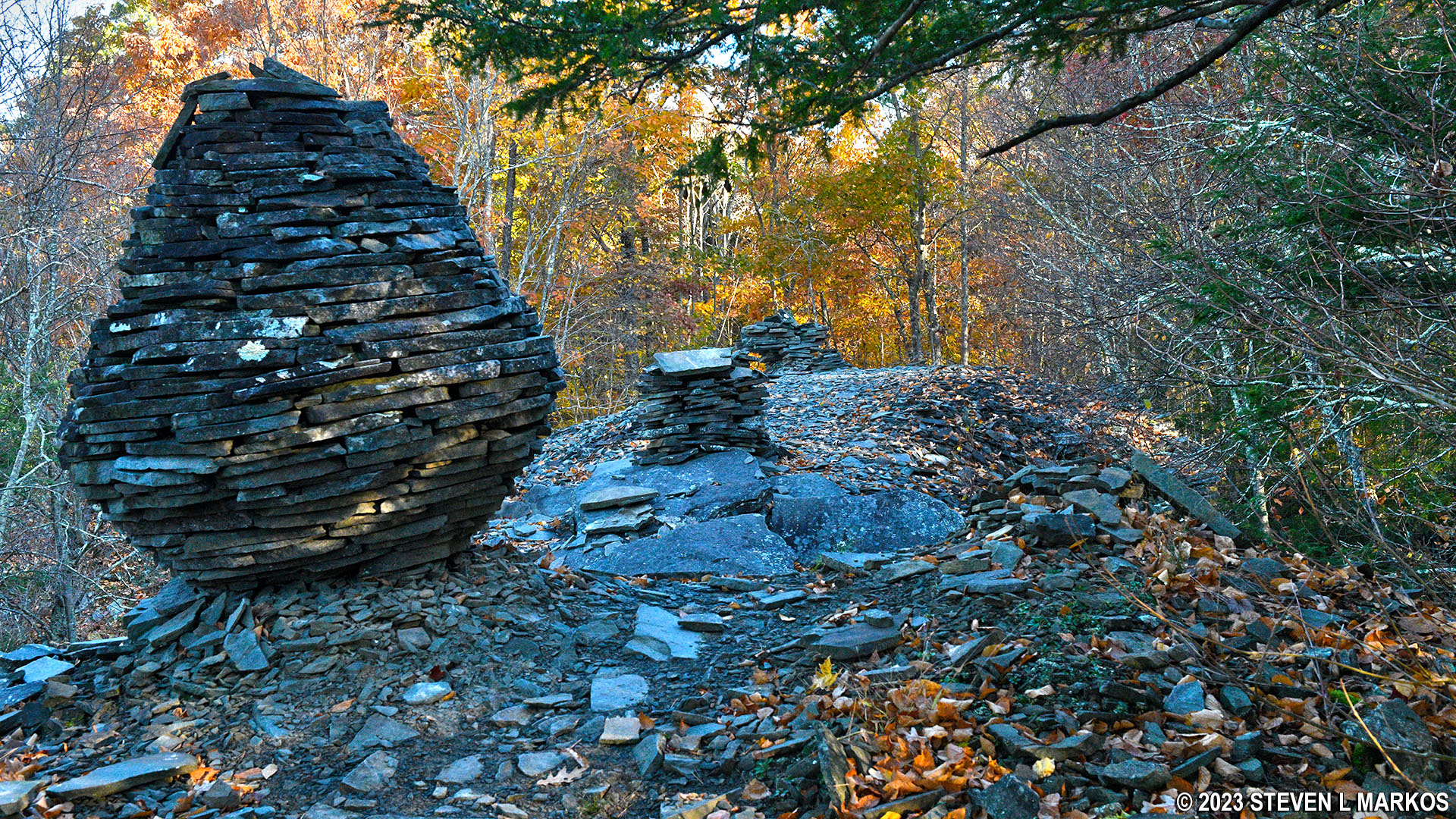
Bluestone rock sculptures at Jensen’s Ledges on the Bouchoux Trail near Lordville, New York
Bluestone rock sculptures at Jensen’s Ledges on the Bouchoux Trail near Lordville, New York
Once done at Jensen’s Ledges, turn around and head back to the parking lot. As I mentioned earlier, I continued on but found nothing of interest. After four tenths of a mile the trail became overgrown and trees were down. It seemed that the trail was no longer maintained at this point, so I turned around.
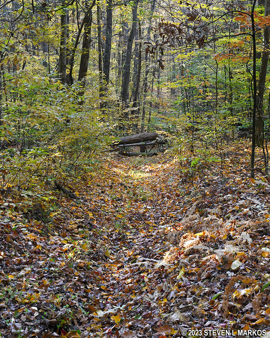
Bouchoux Trail beyond Jensen’s Ledges is not maintained well
One thing to be aware of on the way back: the trail forks just beyond the stream. Hiking the other way, I never noticed the fork since it actually comes from behind and merges with the dirt road. In fact, I didn’t notice it on the way back either, and I went the wrong way. I only noticed the mistake when I looked at the track on my GPS device. The correct way to go is to stay to the left, assuming you notice the fork in the first place. Just be on the lookout for it once you cross the stream.
With a few exceptions, use of any photograph on the National Park Planner website requires a paid Royalty Free Editorial Use License or Commercial Use License. See the Photo Usage page for details.
Last updated on August 20, 2023


