
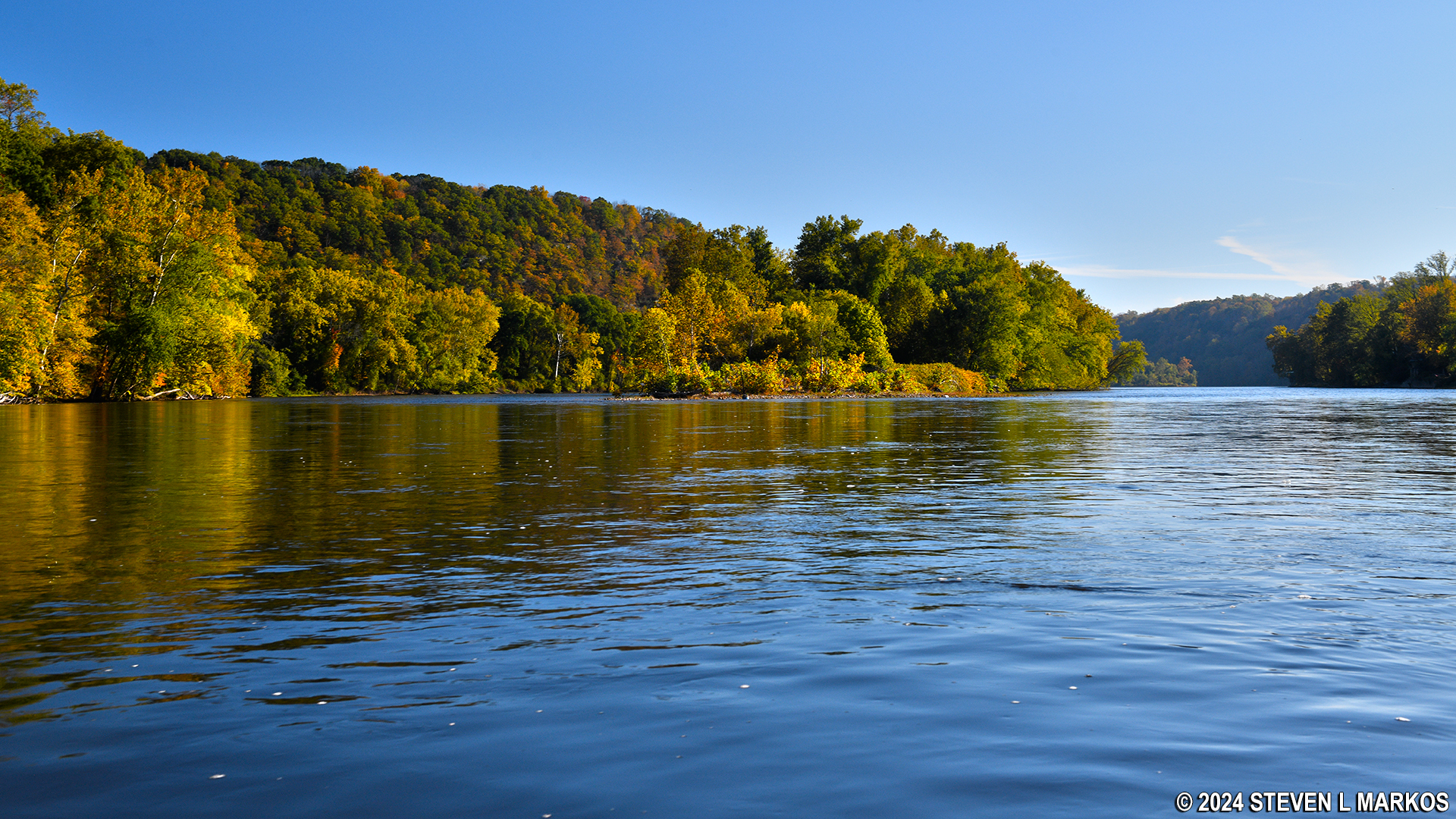
Lower Delaware National Wild and Scenic River near Marshall Island
RIVER TRIP OVERVIEW
Tinicum Park to Byram Boat Ramp
Length: 6.9 miles
Water Level at Time of Trip: 2.6 to 3.4 feet
Average moving speed: 4.6 MPH with two paddlers
Top Speed: 7 MPH
Time: 1.5 hour
This review covers a trip on the Delaware River from Tinicum Park in Erwinna, Pennsylvania, to the Byram Boat Ramp in Stockton, New Jersey. This entire trip is within the boundaries of the Lower Delaware National Wild and Scenic River. I mention this because not all sections of the river from the northern boundary south of Belvidere, New Jersey, to the southern boundary at Washington Crossing, Pennsylvania, are part of the park. River sections can be excluded due to excessive shoreline development, poor water quality, or because a municipality along the river does not want to be part of the park. Decisions not to be included are often based on the fact that the municipality may have to impose stricter regulations on the businesses along the river.
THE FINE PRINT
Before starting a trip down the Lower Delaware National Wild and Scenic River, always check the water levels so you have an idea of the river conditions. The most relevant United States Geological Survey (USGS) water level gauges for this trip are at Frenchtown, New Jersey, and at Stockton. On the day I did the trip in mid-October, the Frenchtown gauge reported 3.4 feet of water and the Stockton gauge 2.6 feet. The observations in this report are based on these water levels. If you do the trip when the levels are significantly lower, you may be dragging your boat to deeper water in some places and probably won’t experience the same degree of rapids as reported. If the water levels are significantly higher, you may experience more intense rapids, and more of them. Also be aware that regardless of water levels, extreme winds can cause turbulent conditions that require advanced skills on water otherwise suited for all paddlers.
Keep in mind that water level gauges only measure water depth at one location. The actual depth of the river varies from place to place. However, a gauge reading gives a good indication of what the water levels will be like between it and the next downriver gauge. For example, it may be recommended that for an enjoyable paddling trip that Gauge X reads at least four feet, even though you can have a good time in your kayak in as little as a foot of water, perhaps even less. However, a four-foot reading at Gauge X may mean that some areas of the river only have six inches of water. Likewise, the gauge at Washington Crossing read .15 foot at the start of the day when I did the trip at the southern end of the river and -.15 by the evening. Minus? How is that possible? Do I have to dig a well to get to the water? All I know is that there was plenty of water, and I’m not talking about just enough to get by. I’m talking about not being able to see the bottom. So .15 feet of water at Washington Crossing means there is plenty of water in that area, while .15 feet at Gauge X probably means the river in that area is dry.
So you now know the water levels are all relative to the area, and you really need to be a frequent paddler, or know someone who is, to judge when it’s going to be a good day on the river. I’m from Georgia. I went down the Lower Delaware National Wild and Scenic River once, so I do not know what water levels may require advanced paddling skills or may even be dangerous, or at what levels you may be scraping the bottom of the riverbed. All I can say is that with 3.4 feet of water at Frenchtown and 2.6 feet at Stockton, which are significantly lower water levels than those reported upriver, there was plenty of water on all sections of the Delaware River covered on this trip. Furthermore, other than a few spots with choppy water, the river was very calm between Tinicum Park and the Byram Boat Ramp. There was nothing that even beginning paddlers could not handle.
RIVER TRIP DETAILS
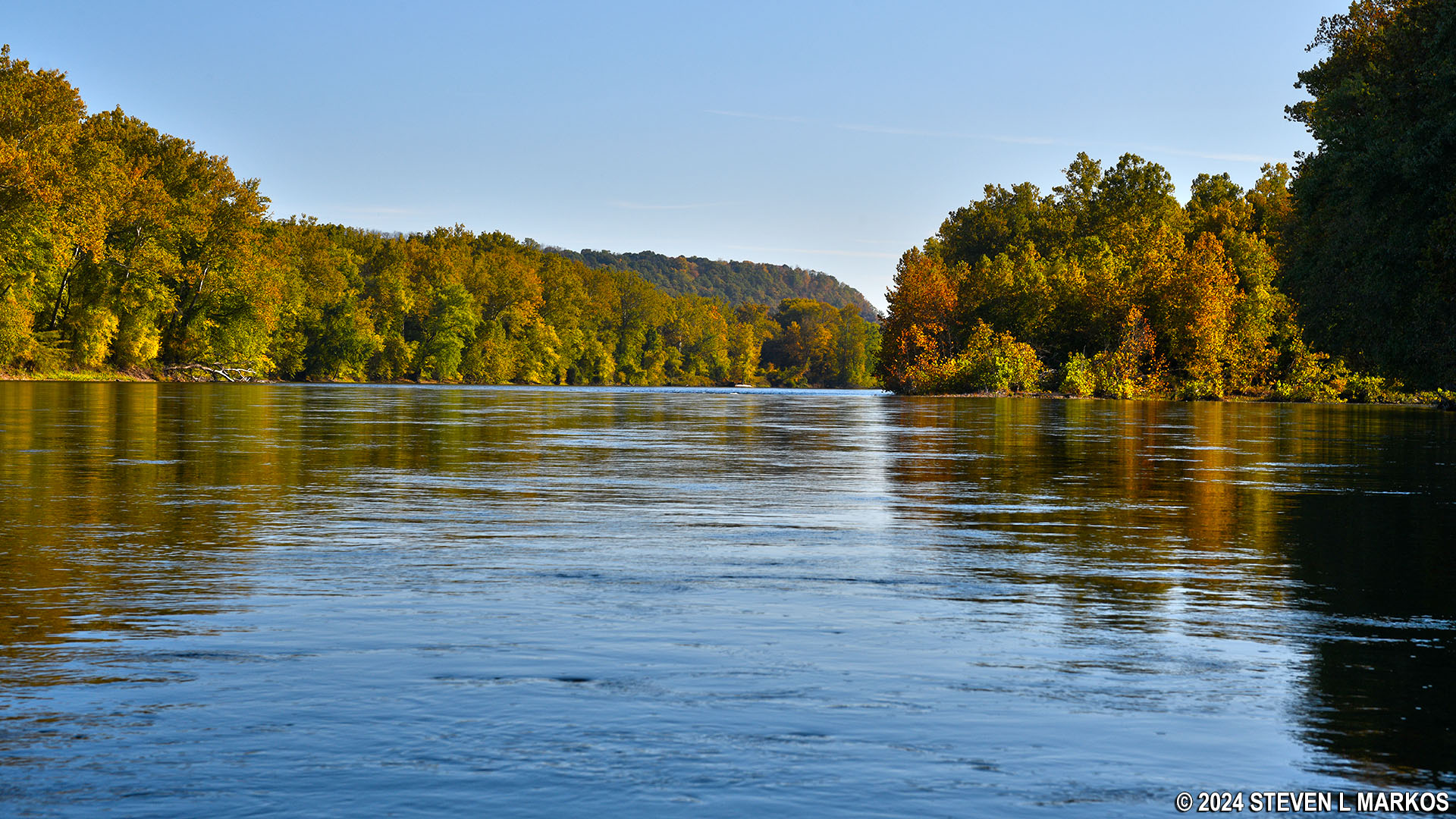
The Tinicum Park Boat Ramp is located at the downriver end of Pennington Island, and there is another island less than a half mile farther ahead, Marshall Island. The Delaware River splits into two smaller channels to go around it, and when this happens the current typically picks up due to a large amount of water suddenly being squeezed into a smaller space. As a result, there was some choppy water at the mouth of the channel that added a little fun to the trip, but it was tame enough that even beginning paddlers can enjoy it. For the record, I went around Marshall Island on the right side, hugging the Pennsylvania shoreline.
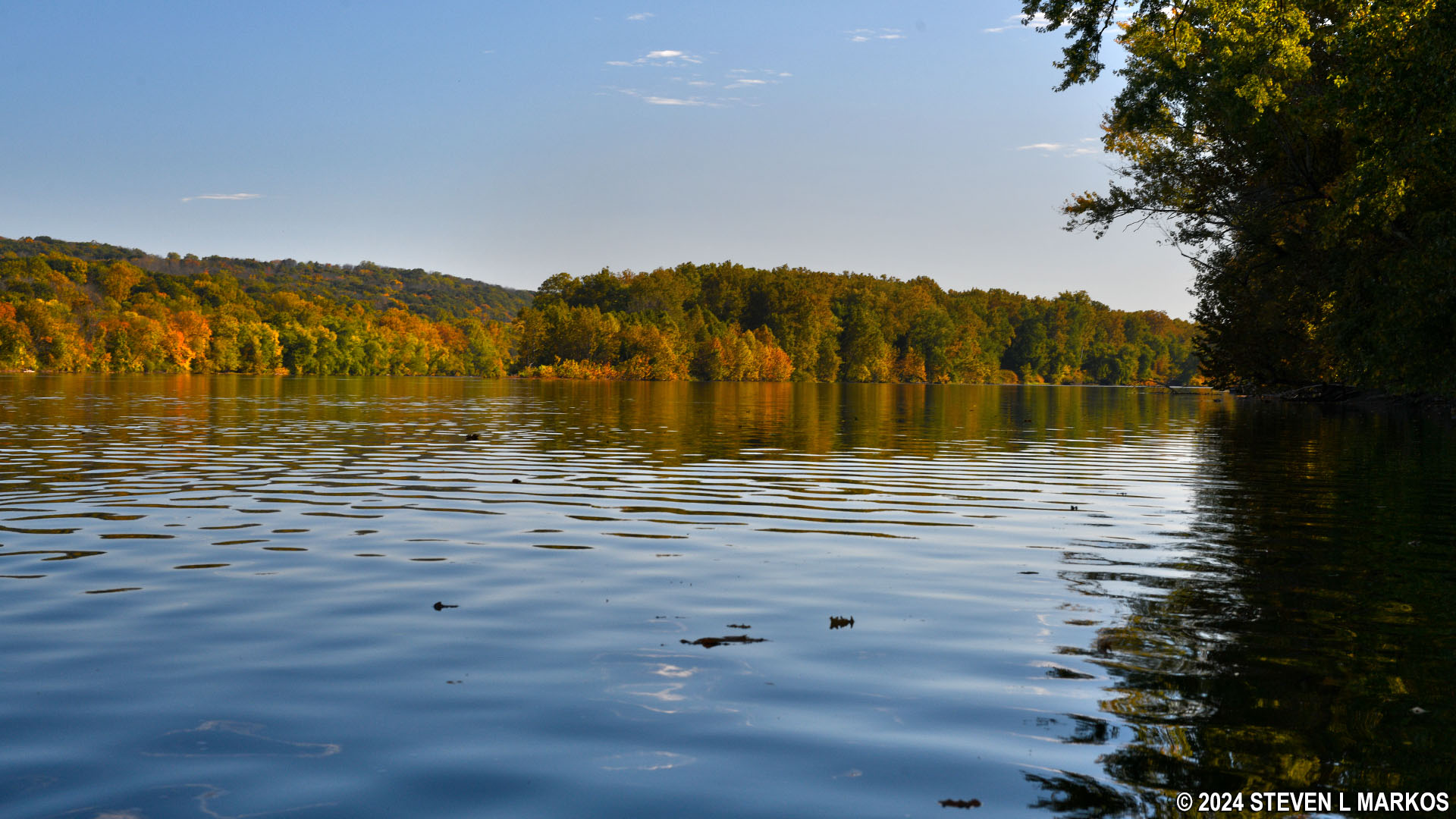
Lower Delaware National Wild and Scenic River north of Marshall Island
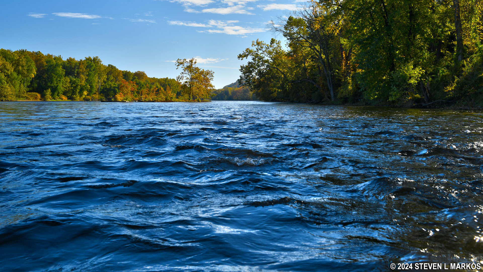
Choppy water on the Lower Delaware National Wild and Scenic River at Marshall Island
A little less than halfway down the island is a canoe launch, but I have no idea what it is called. There is an old mill prior to it, Stover Mill. Built in 1832, the mill is now home to the Tinicum Civic Association and the Stover Mill Art Gallery.

Stover Mill on the Lower Delaware National Wild and Scenic River in Pipersville, Pennsylvania
The canoe launch is a half mile past the mill. It does not appear on Google Maps, but it is just downriver from the Golden Pheasant Inn. River Road makes an east to west S-curve, and on the east side near the river is a dirt road that leads down to what is a very nice canoe launch with its own small parking lot right next to the Delaware Canal Trail. It is easy to get your boat in and out, so I highly recommend it as a start or end point on a trip down the Lower Delaware National Wild and Scenic River if for some reason you are adverse to Tinicum Park.

Canoe launch at the midway point of Marshall Island on the Pennsylvania side of the Lower Delaware National Wild and Scenic River
Small parking lot for the canoe launch at the midway point of Marshall Island on the Pennsylvania side of the Lower Delaware National Wild and Scenic River
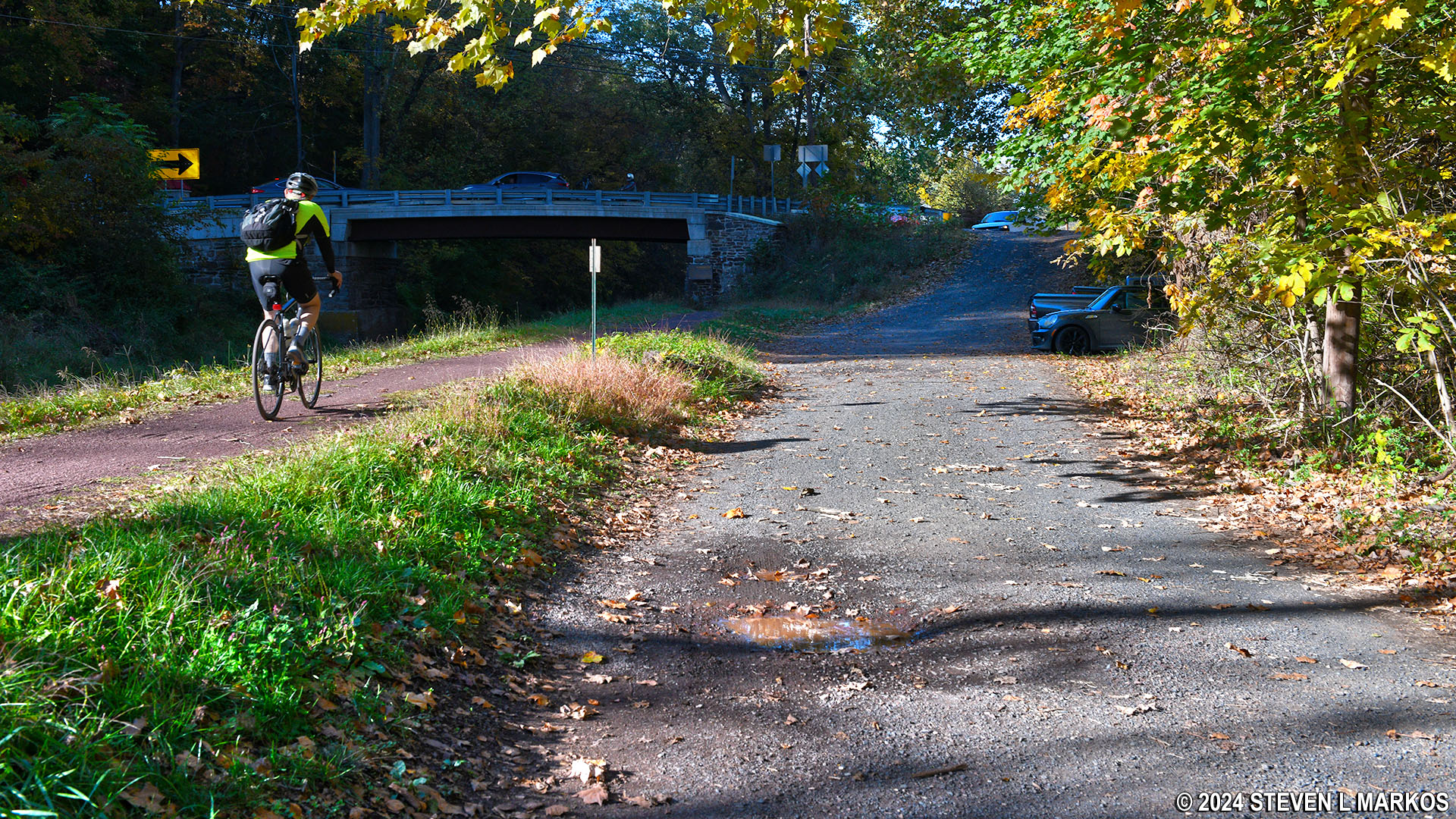
Delaware Canal Trail passes the canoe launch at the midway point of Marshall Island on the Pennsylvania side of the Lower Delaware National Wild and Scenic River
There is supposedly another canoe launch on the New Jersey side of Marshall Island, but obviously I did not get to. It is referred to as the Fairview Canoe Launch. After studying satellite maps and Google Street Maps, if it exists at all, it doesn’t look that convenient.
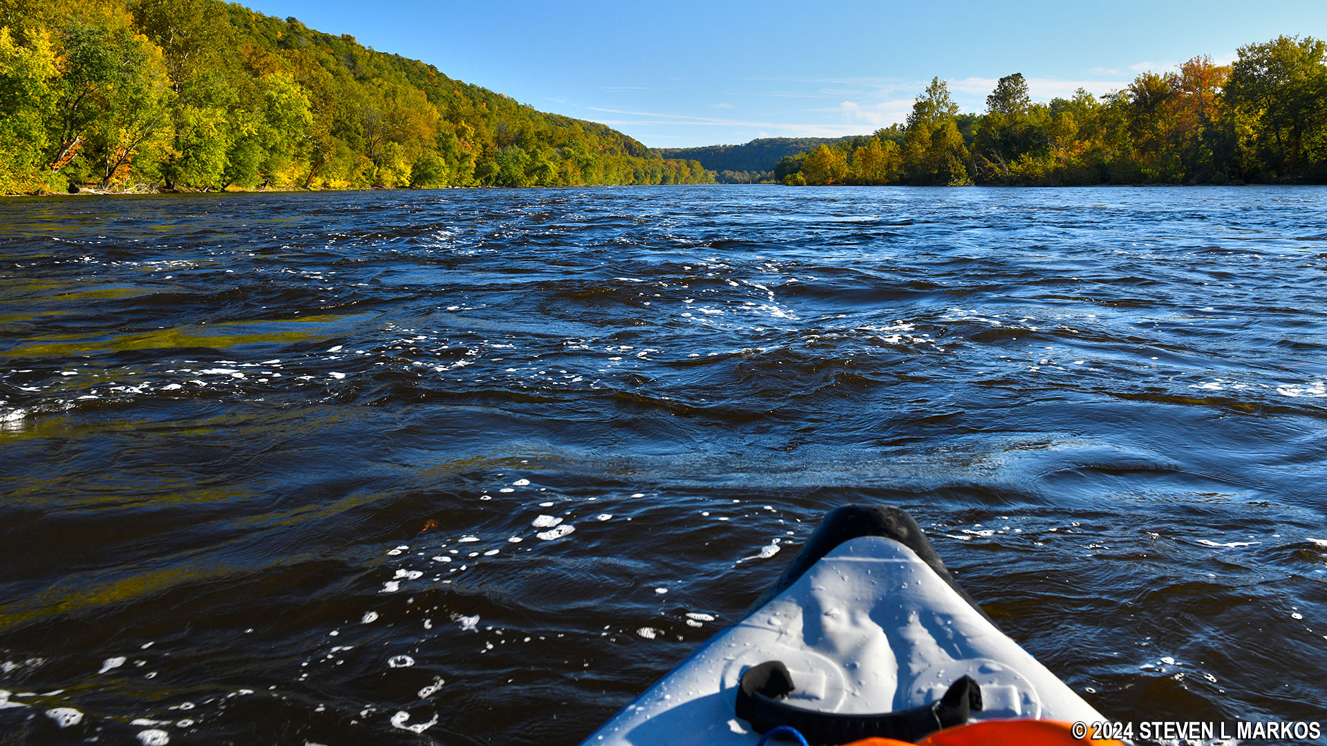
Beyond the canoe launch and Marshall Island is a whole slew of other islands: Walls Island, Treasure Island, Resolution Island, Rush Island, and even a few without names. Without a map it is impossible to even know these are islands, as they just look like the New Jersey shore. I stuck to the widest channel on the Pennsylvania side of the islands and had no problems with shallow water at any point. Furthermore, there were no sections of turbulent water when paddling past this large group of islands.
Paddling through the many islands on the Lower Delaware National Wild and Scenic River south of Tinicum Park
There is a gap of about a half mile from the downriver end of the large group of islands and another group of three more islands prior to the Byram Boat Ramp. Two of these are large enough to have a name—Walls and Prahls islands—and one is pretty small. As with the entrance channel around Marshall Island, there is a nice run of small rapids caused by the swifter current when the river channel splits. I was moving along at 7 MPH without even paddling. However, this time I hit a few underlying rocks, all coming at a point where there were standing whitecaps of water (whitecaps that seem to stay in one place), so avoid these if possible. The whitecaps are caused by either exposed rocks or rocks just inches beneath the surface. At higher water levels, with the rocks far below, the water may well be calm though still swift moving.
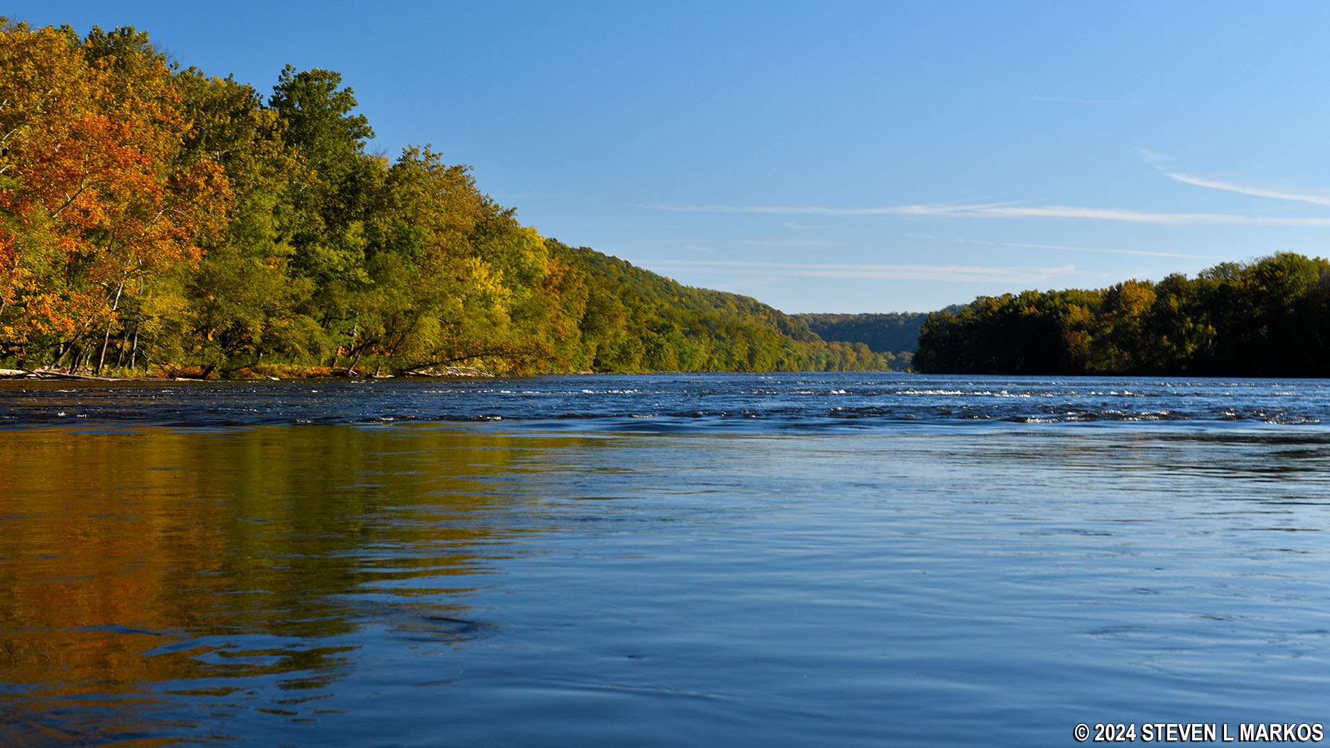
Approaching small rapids at Walls Island on the Lower Delaware National Wild and Scenic River just north of Point Pleasant, Pennsylvania
Small rapids at Walls Island on the Lower Delaware National Wild and Scenic River just north of Point Pleasant, Pennsylvania
Once past the islands, the river remains calm all the way to the Byram ramp. You’ll pass the piers of the old Point Pleasant-Byram Bridge that was built in 1903 and stood until being destroyed by floods in 1955 caused by hurricanes Connie and Diane. From the bridge piers it is .9 mile to the ramp.
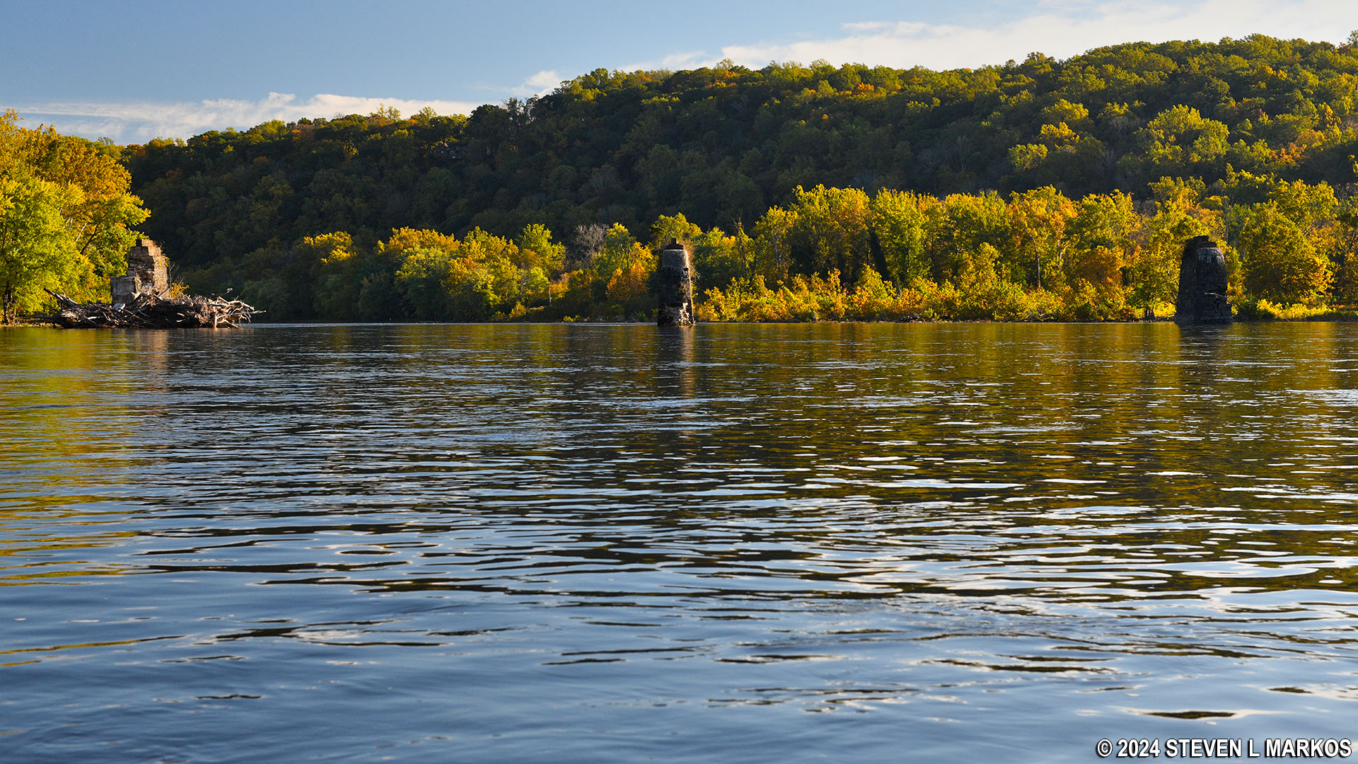
Piers in the Delaware River are all that remain of the old Point Pleasant-Byram Bridge
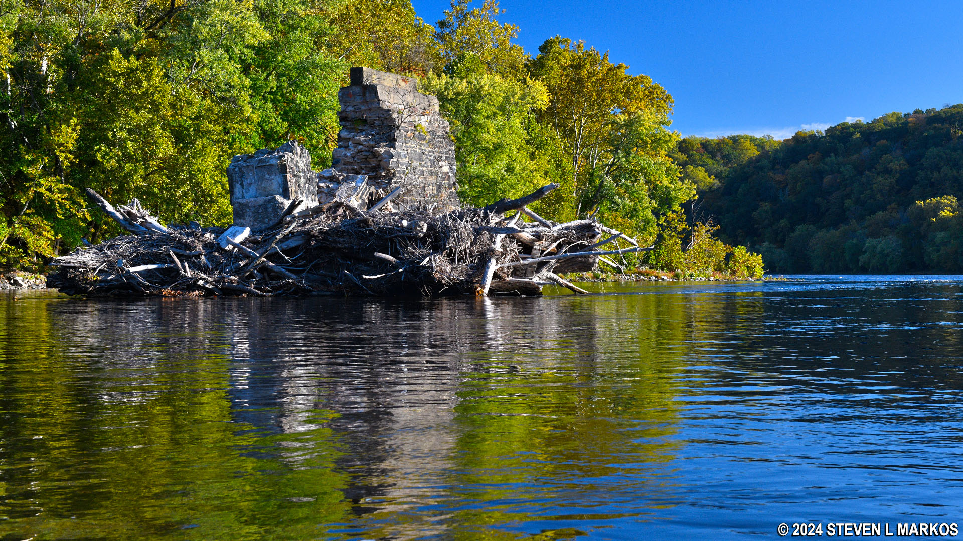
Pier of the old Point Pleasant-Byram Bridge in the Lower Delaware National Wild and Scenic River
The Byram Boat Ramp is one of the very few on the Lower Delaware National Wild and Scenic River that has an identification sign at the riverbank. This is a nice concrete ramp that is convenient to start or end a trip on the river. However, it is part of Delaware and Raritan Canal State Park, and there is a fee to use the ramp from Memorial Day to Labor Day—all boats, even canoes and kayaks. There are signs posted stating such at the parking lot, so you can’t play dumb if caught without a permit. You actually have to get a permit in person at the main office at the Bulls Island Recreation Area just south of here, so it is not very convenient for out-of-state travelers (versus getting one online before you leave for vacation).
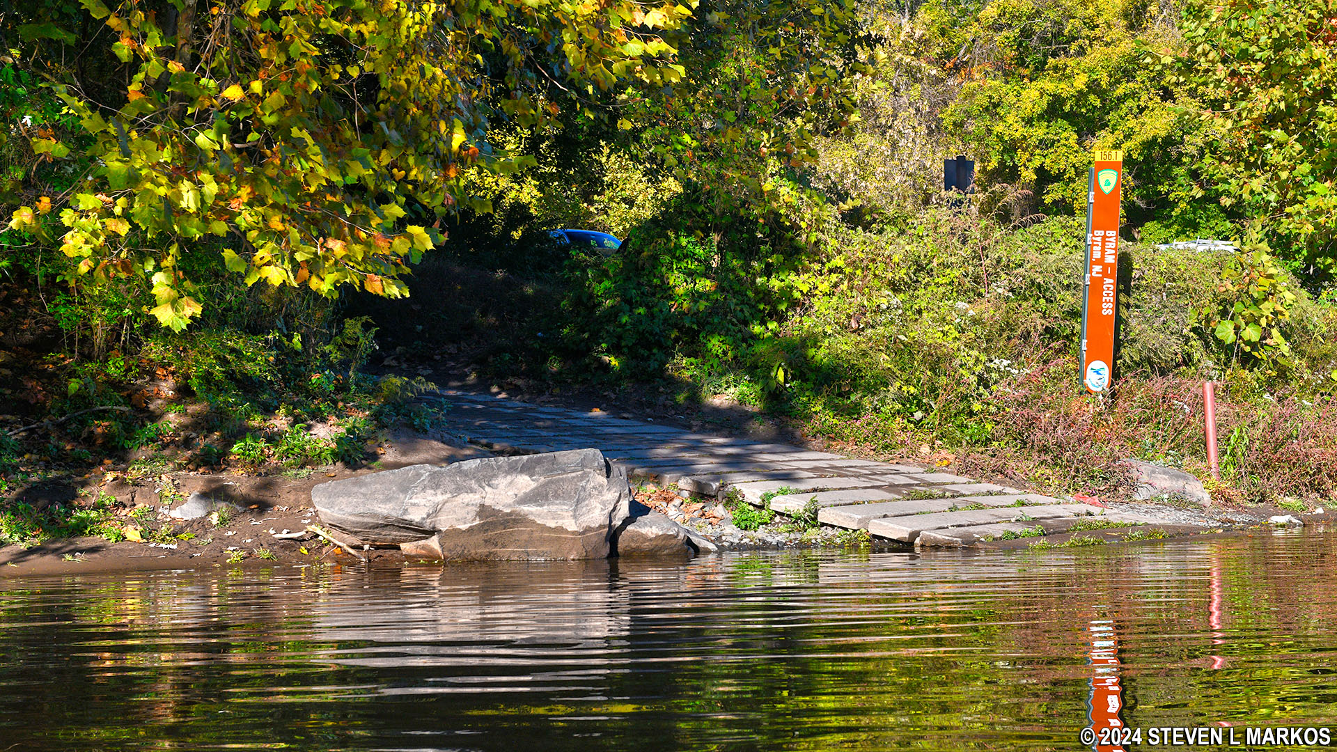
Bryam Boat Ramp on the Lower Delaware National Wild and Scenic River in Stockton, New Jersey

View of the Bryam Boat Ramp from the Lower Delaware National Wild and Scenic River
Next River Section | Previous River Section | Paddling Home Page
With a few exceptions, use of any photograph on the National Park Planner website requires a paid Royalty Free Editorial Use License or Commercial Use License. See the Photo Usage page for details.
Last updated on February 23, 2024


