

Lava Flow Trail at Capulin Volcano National Monument
Length: 1-mile loop
Time: 45 minutes
Difficulty: ★★☆☆☆
The Lava Flow Trail at Capulin Volcano National Monument begins at the far left side of the oversized-vehicle parking lot at the Visitor Center. It is an enjoyable 1-mile loop trail that passes directly through one of Capulin Volcano’s lava flows and provides fantastic views of the surrounding landscape.
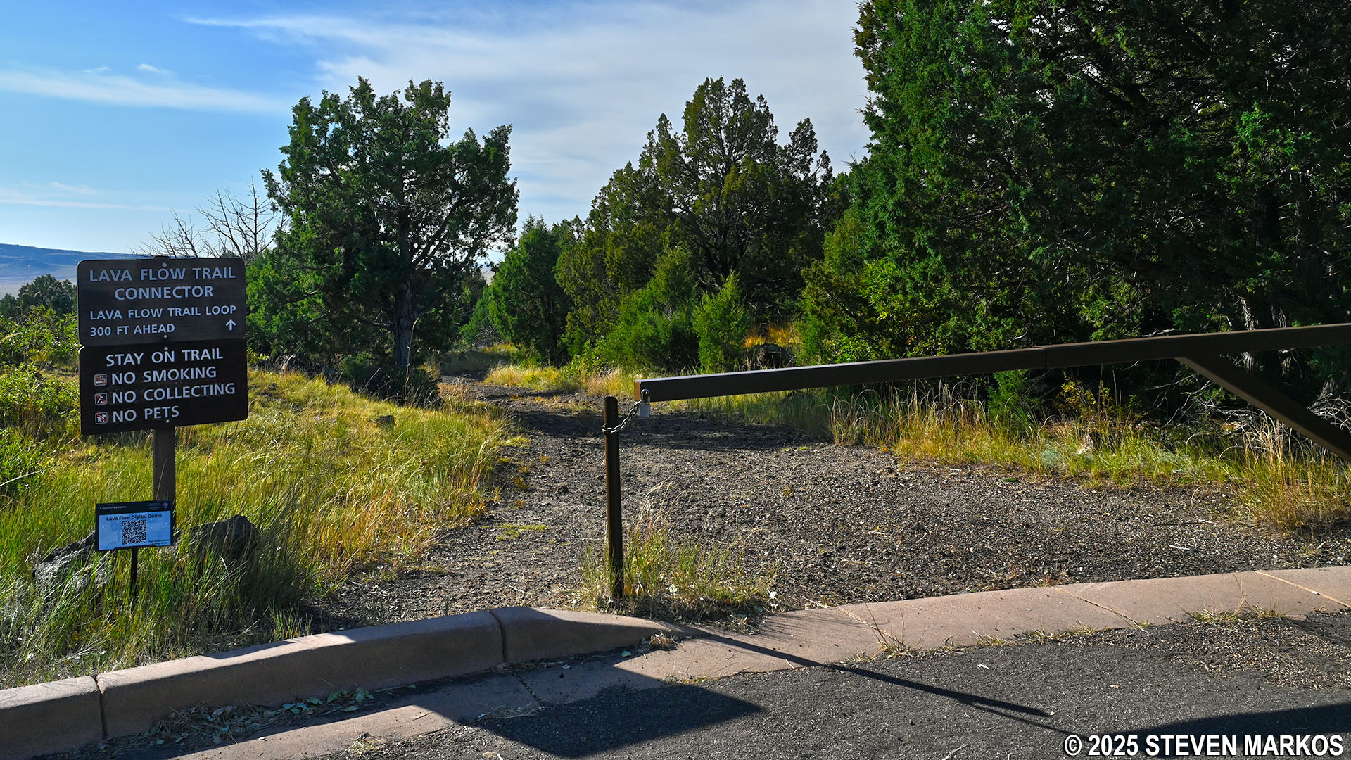
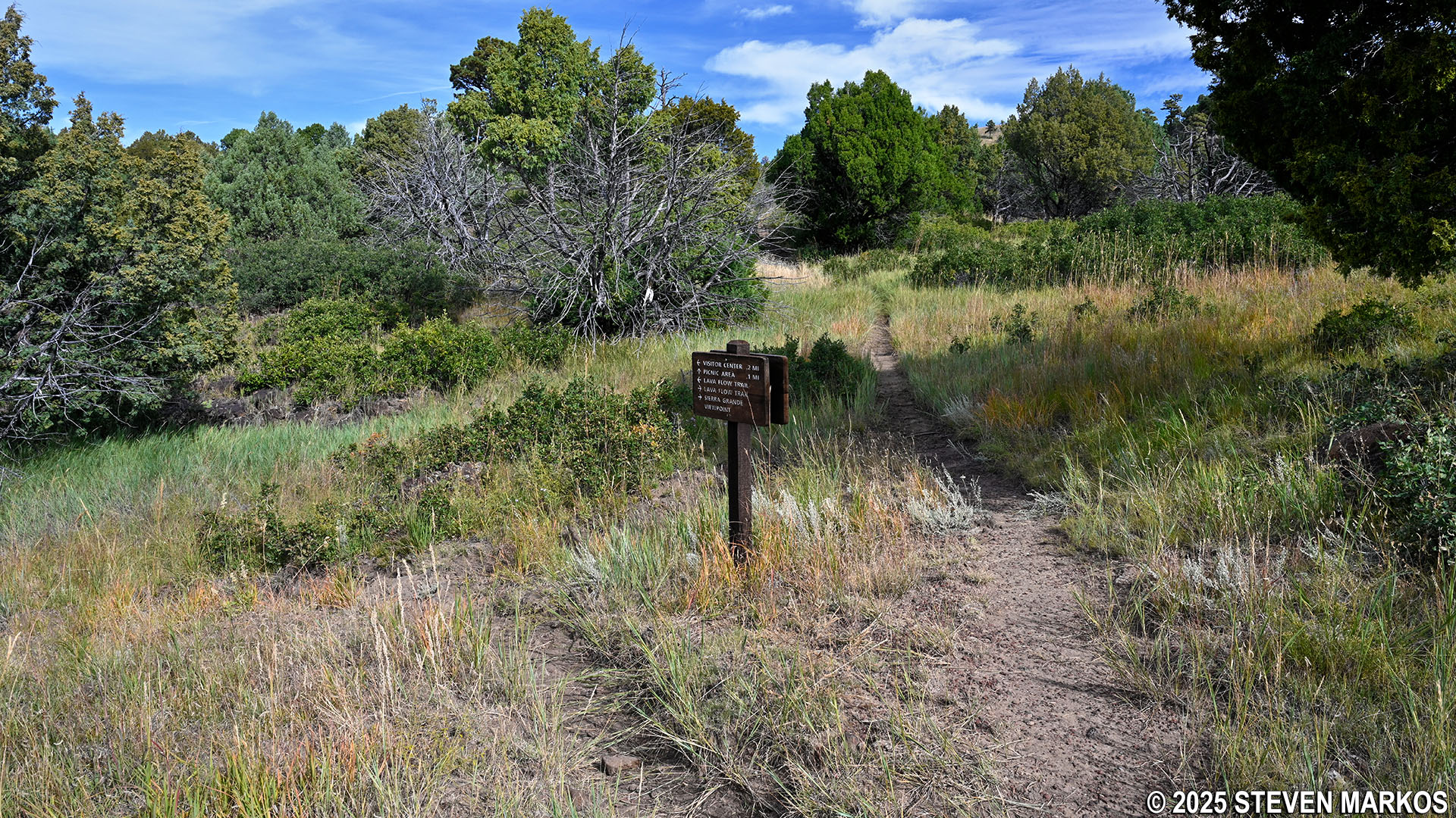
Trailhead at the Visitor Center parking lot for the Lava Flow Trail, Capulin Volcano National Monument
The trail starts off as a gravel road. The surface consists mostly of small lava rocks like those used for a flower bed in the yard. There are also some large, loose rocks mixed in, so be careful not to step on one and roll an ankle as you are hiking. Furthermore, the entire trail is out in the open, so if avoiding the sun is important to you, be sure to wear a hat and apply sunscreen.

Lava Flow Trail at Capulin Volcano National Monument
The trail descends gradually from the parking lot for about 100 yards before coming to the loop section. There are five numbered stops along the route that correspond with information on a trail brochure that is available at the Visitor Center. To come to them in chronological order, you must hike the trail in the counterclockwise direction by staying straight on the gravel road.
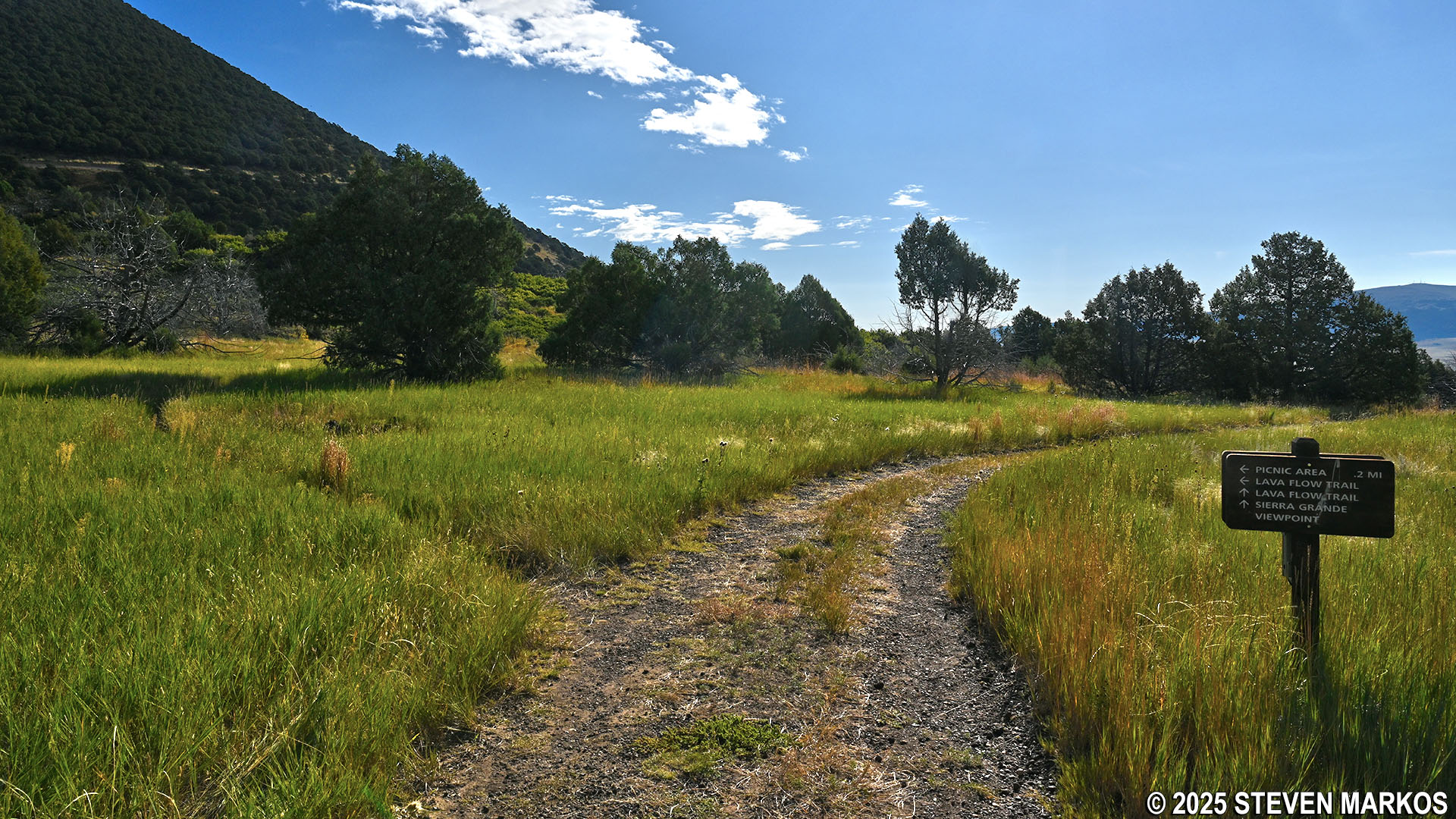
Start of the loop section of the Lava Flow Trail at Capulin Volcano National Monument
The trail continues along the gravel road for the next .15-mile and passes Stops 1 and 2. At Stop 1 is a low ridge called a lava levee. It was formed from a more sticky, viscous part of the lava that flowed out of Capulin Volcano. Over the years, plants and vegetation have grown on top of the lava levee, so it is hard to notice if you’re not looking for it.

Lava levee at Stop 1 on the Lava Flow Trail, Capulin Volcano National Monument
Lava levee along the Lava Flow Trail, Capulin Volcano National Monument
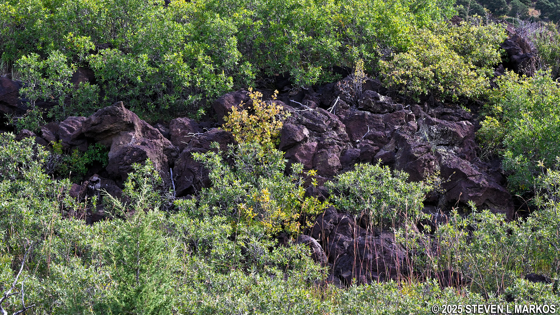
Stop 2 is at a bulge of lava rock. These bulges—known as tumuli or squeeze ups—are formed when the surface of flowing lava slowly hardens while molten lava continues to flow underneath. The pressure created by the flowing lava eventually becomes too much for the crust to contain, causing cracks where lava “squeezes up” and forms bubbles. As the bubbles accumulate, they eventually form a bulge.
Squeeze-up at Stop 2 on the Lava Flow Trail, Capulin Volcano National Monument
From Stop 2, the trail begins climbing slowly uphill to the Sierra Grande Viewpoint at Stop 3. A short, narrow side path leads to a bench overlooking the Raton-Clayton Volcanic Field. On clear days, you can see Sierra Grande, one of the largest volcanoes in the field.
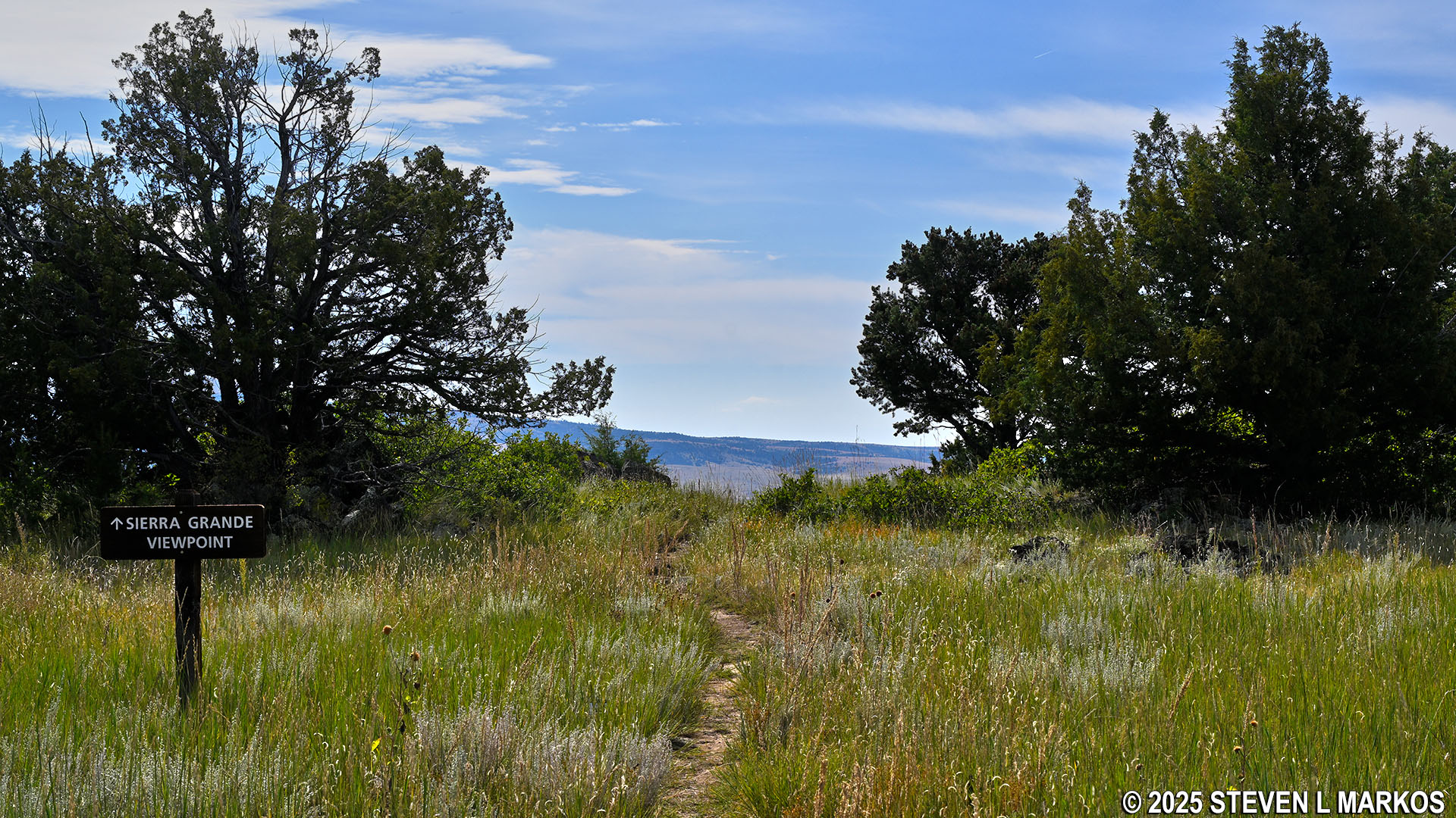
Side trail at Stop 3 on the Lava Flow Trail leads to the Sierra Grande Viewpoint, Capulin Volcano National Monument
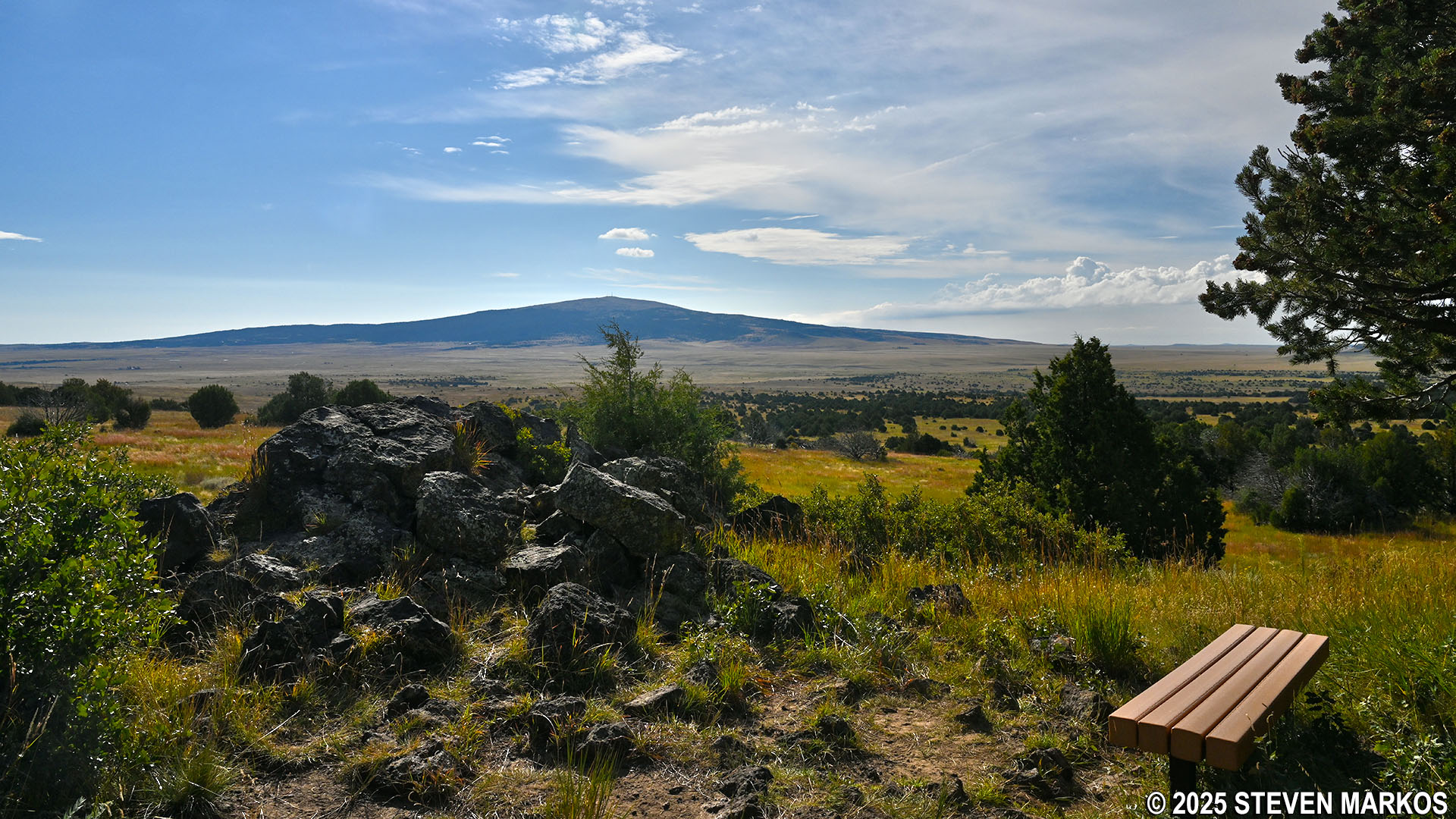
View of the Sierra Grande Volcano at Stop 3 on the Lava Flow Trail, Capulin Volcano National Monument
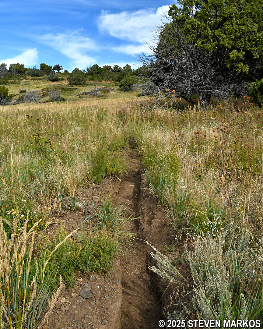
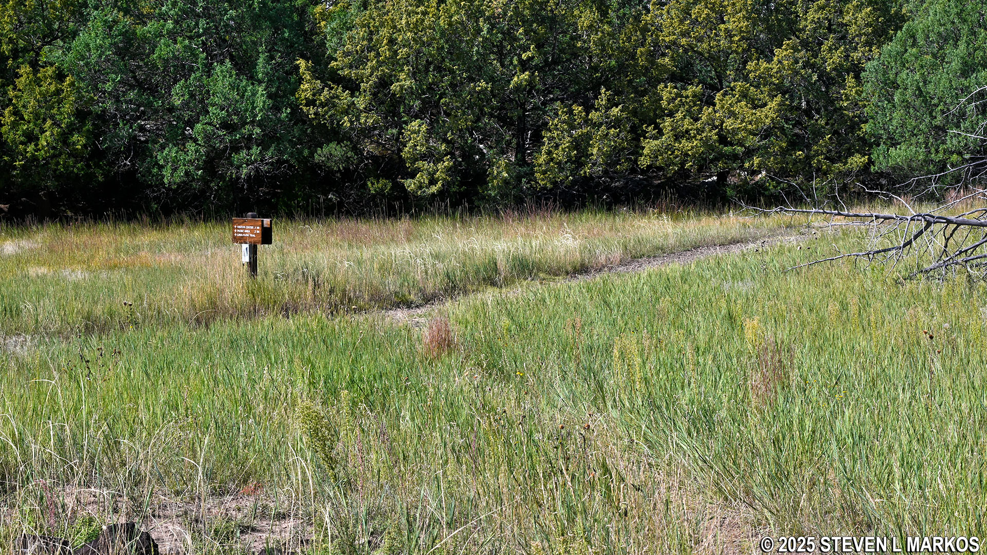
The trail continues along the gravel road until splitting from it at the .4-mile mark on the hike. It veers off to the left and becomes a narrow, traditional hiking trail.
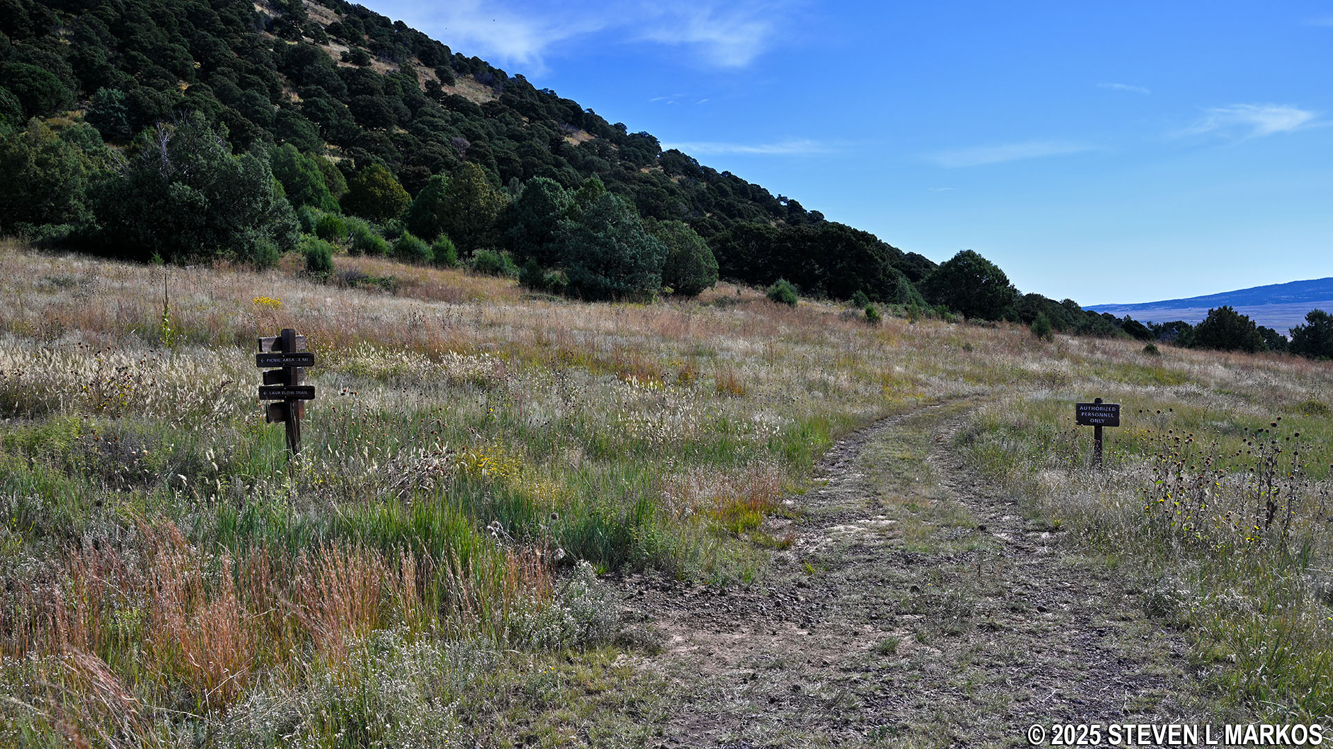
Lava Flow Trail splits from the gravel road near its halfway point, Capulin Volcano National Monument
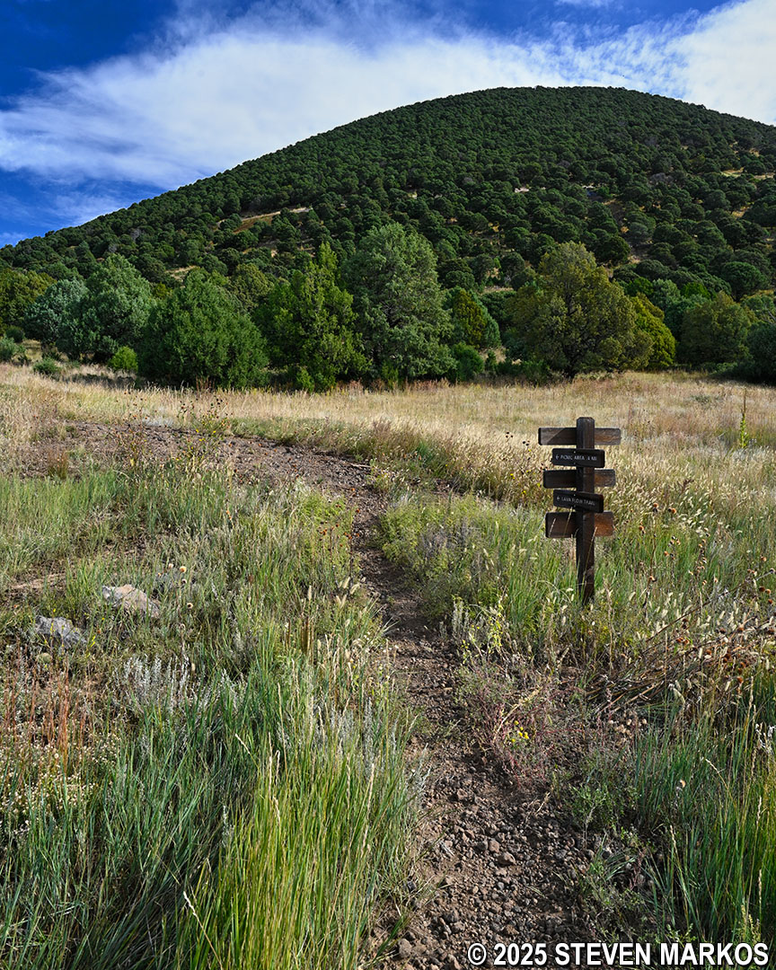
Lava Flow Trail becomes a narrow path near its halfway point, Capulin Volcano National Monument
Just past the split is Stop 4, where the focus is longleaf groundcherries. These native perennial plants are common all throughout the park and the surrounding region. They have small, hanging bulbs that somewhat resemble lanterns and usually flower between March and October. The edible yellow-green fruit they produce reportedly tastes like an under-ripened strawberry. It was the end of September when I hiked the Lava Flow Trail, and the plants had already flowered for the year, so the bulbs left hanging were hollow and waiting to fall off.
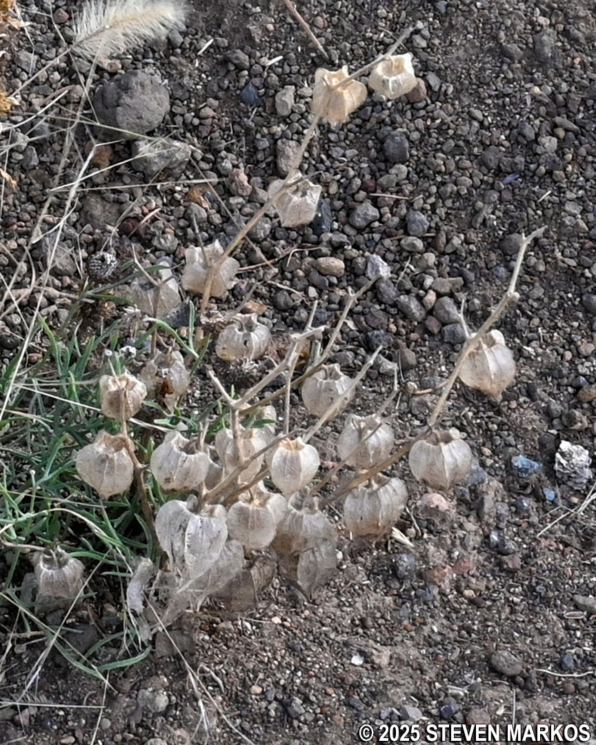
Longleaf groundcherry plant at Stop 4 on the Lava Flow Trail, Capulin Volcano National Monument
Not long after passing Stop 4, the Lava Flow Trail turns into a trench, which was most likely formed by water running through the area after heavy rain. The overgrown vegetation along the side of the trail brushes up against you, so you might want to consider wearing long pants for this hike.
Trench-like section of the Lava Flow Trail at Capulin Volcano National Monument
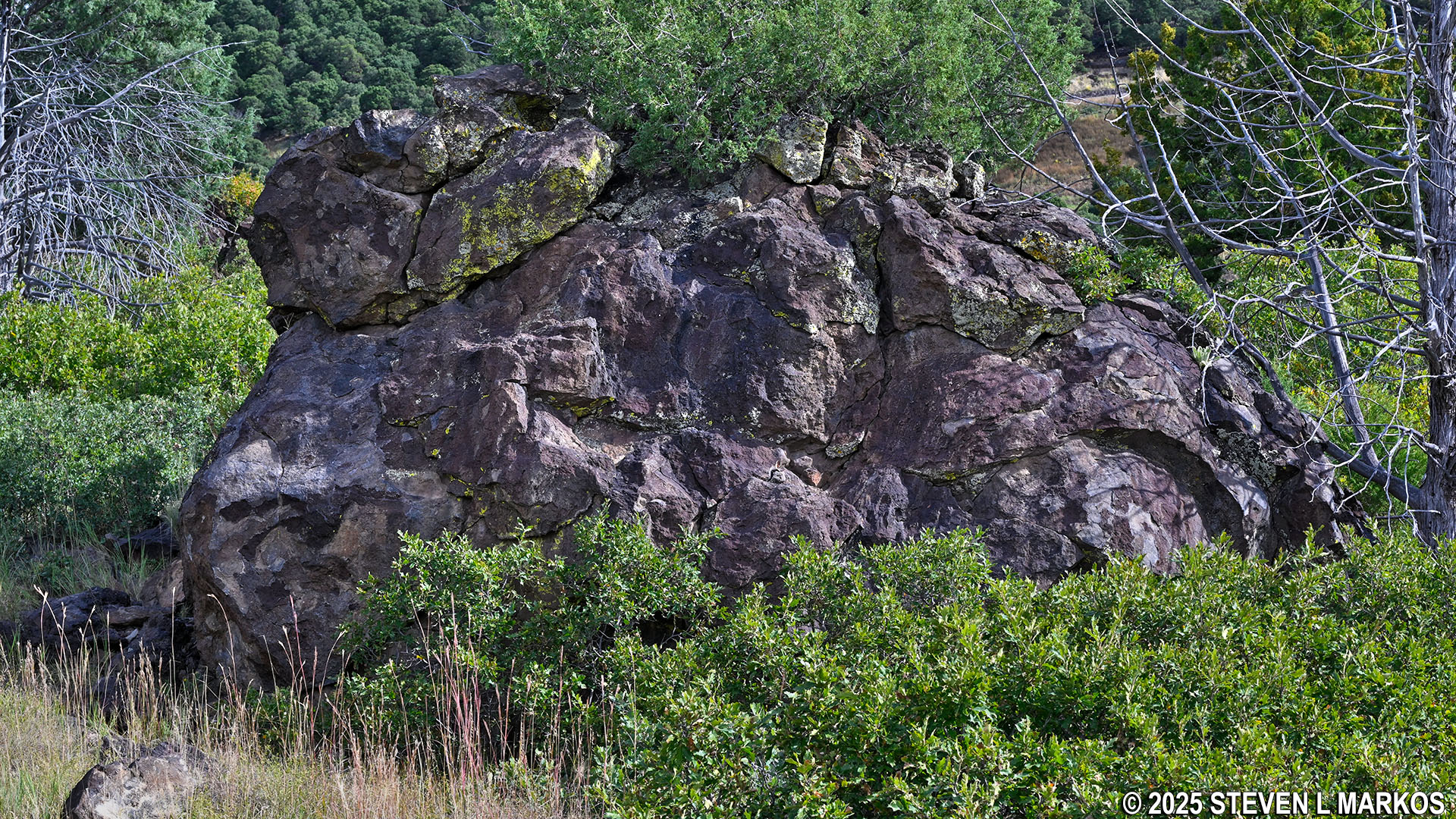
About half a mile into the hike, the terrain becomes significantly rocky. There are a couple of spots that require stepping up and over large rocks, making it feel like you are practically rock climbing.
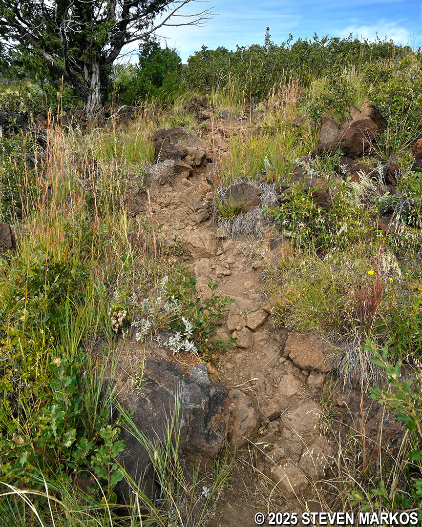
Rocky terrain on the Lava Flow Trail at Capulin Volcano National Monument
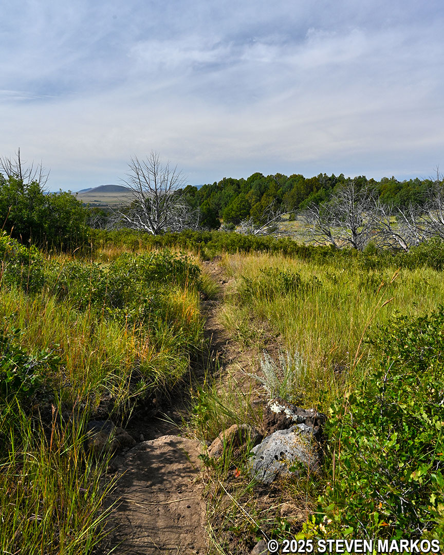
The trail remains very rocky and narrow all the way up through Stop 5, which comes two-thirds of a mile into the hike. At this point, you are standing on the rise of the lava flow. From here you have the best panoramic views of the Raton-Clayton Volcanic Field on the hike.

View of the Raton-Clayton Volcanic Field from Stop 5 on the Lava Flow Trail at Capulin Volcano National Monument
The most difficult section of the trail comes between Stop 5 and a turnoff for the Capulin Volcano National Monument Picnic Area about a tenth of a mile ahead. Not only does the Lava Flow Trail continue to be extremely rocky, but it also heads in and out of a ravine with average grades of 20% both uphill and downhill (strenuous hiking is considered to start at 15%).
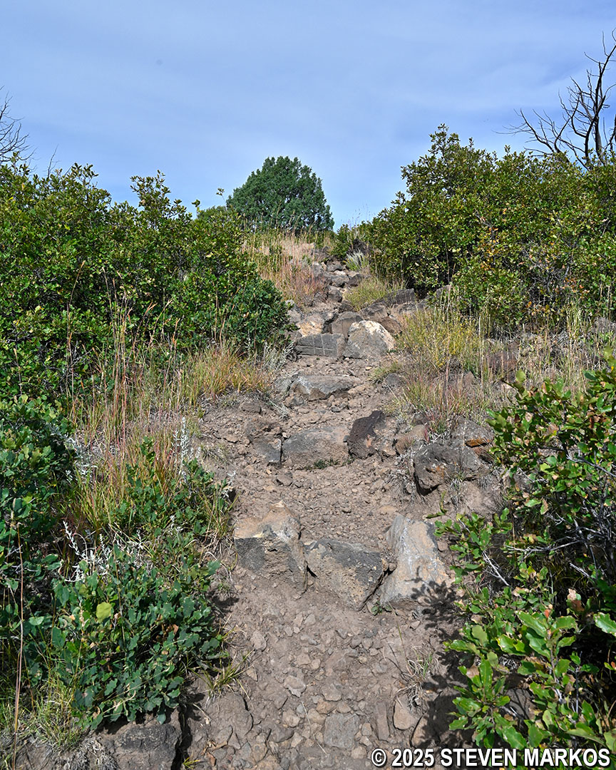
Steep, rocky terrain west of Stop 5 on the Lava Flow Trail at Capulin Volcano National Monument
At the .75-mile mark is the intersection with the connector to the Picnic Area. To remain on the Lava Flow Trail, stay to the left.
Intersection of the Lava Flow Trail and Picnic Area connector, Capulin Volcano National Monument
From the picnic area turnoff back to the start of the loop, the trail remains narrow and a little rocky, but the terrain is a lot easier to hike. Aside from the steepest section of the trail near Stop 5, most of the uphill and downhill segments on the Lava Flow Trail have grades of 8% or less, which is generally considered easy.
Typical terrain along the last leg of the Lava Flow Trail, Capulin Volcano National Monument
Once back at the start of the loop, take a right to return to the Visitor Center.
Back at the start of the loop section of the Lava Flow Trail, Capulin Volcano National Monument
With a few exceptions, use of any photograph on the National Park Planner website requires a paid Royalty Free Editorial Use License or Commercial Use License. See the Photo Usage page for details.
Last updated on October 30, 2025


