
The Boca Trail at Capulin Volcano National Monument
Length: 2-mile loop
Time: 2 hours
Difficulty: ★★★★☆
The Boca Trail at Capulin Volcano National Monument is a 2-mile loop trail that traverses the Boca Lava Flow. The flow gets its name from the Spanish word boca, meaning mouth, for it came from a basal vent that originated at the base of the volcano. The trailhead is located at the Picnic Area parking lot, which is one mile past the Visitor Center on Volcano Road.
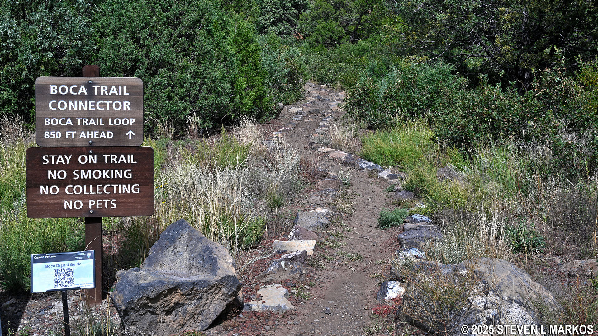
For those who want to learn about geology while hiking, there are ten stops along the trail that correspond with information on a trail brochure that is available at the Visitor Center. There should also be a QR code posted at the trailhead that links to an online version of the brochure.
Start of the Boca Trail at the Picnic Area parking lot, Capulin Volcano National Monument
The Boca Trail begins as a well-groomed dirt path, but don’t let this fool you, because it quickly turns into a rock-climbing party. These sporadic rocky sections combined with some short-but-steep hills make the trail moderately strenuous in difficulty.

Rocky terrain on the Boca Trail at Capulin Volcano National Monument
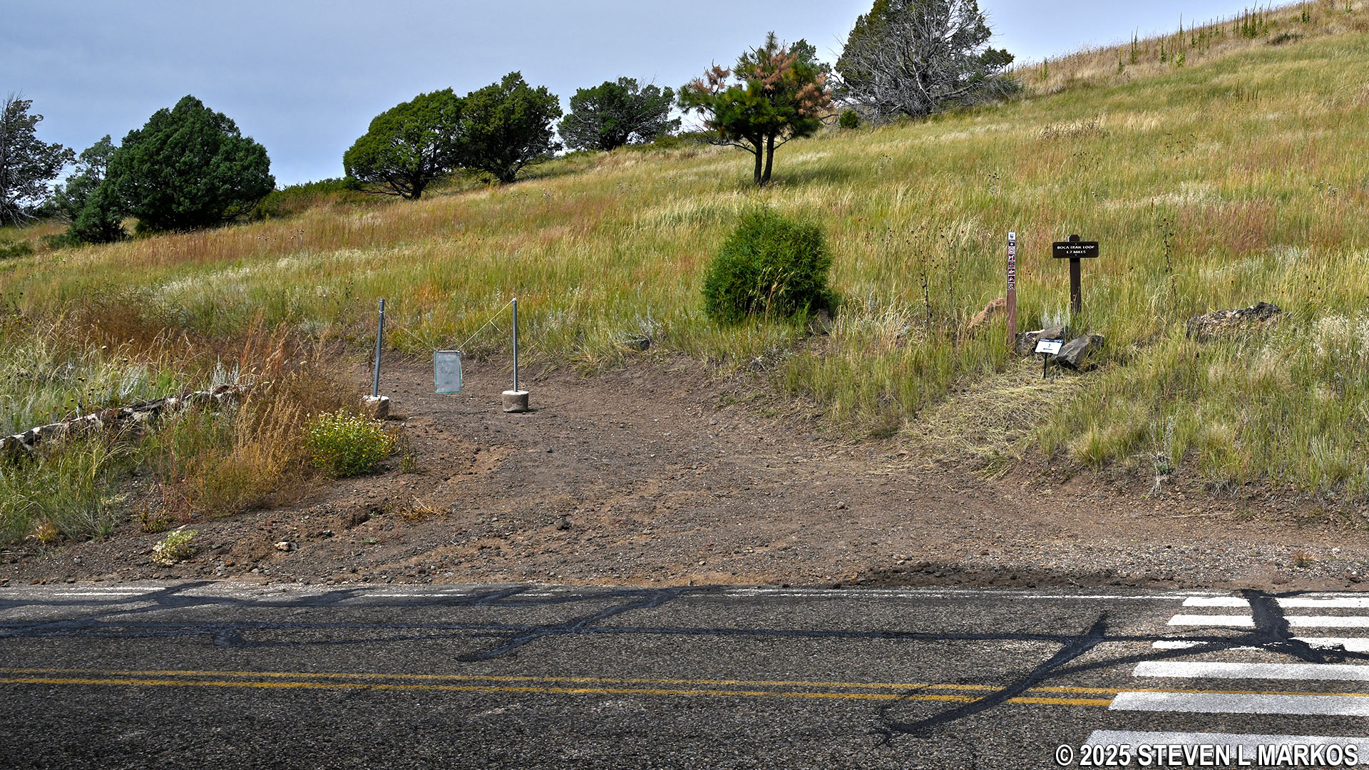
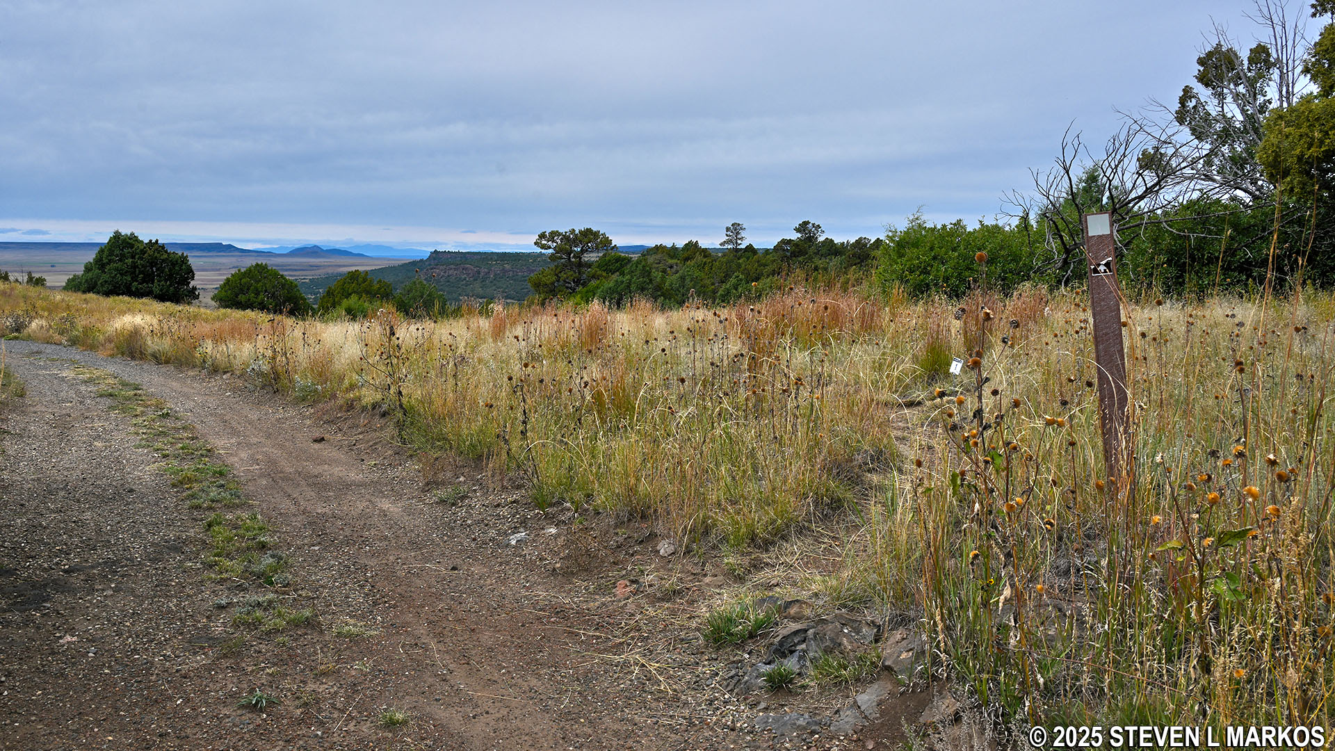
The trail climbs gradually uphill over the next .15 mile before coming to Volcano Road. On the other side is where the loop portion of the trail begins. You can go around in either direction, but if you want to follow the information stops in chronological order, keep left on the gravel road. Do not take the narrow path that leads up the hill, for that is the way you will be coming back. There are numerous directional signs at the intersection, and it gets a little confusing as to which way to go.
Start of the Boca Trail loop at Volcano Road, Capulin Volcano National Monument
Plethora of directional signs at the start of the Boca Trail loop, Capulin Volcano National Monument
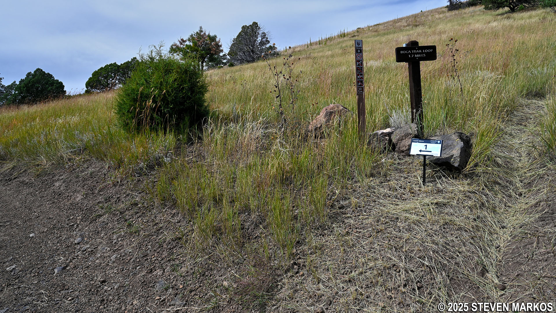
The Boca Trail heads uphill on the gravel road for a hundred yards before coming to Stop 1. At this point it forks off to the right and becomes a narrow, traditional hiking trail.
Fork where the Boca Trail splits from the road at Stop 1, Capulin Volcano National Monument
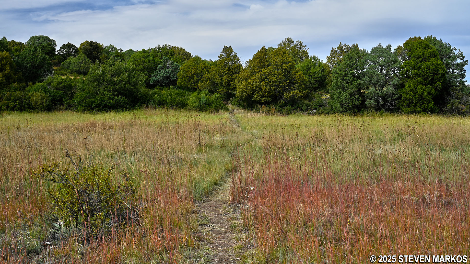
The trail continues over rolling hills for a quarter mile before coming to Stop 2 at a small meadow. This was once where lava collected to form a lake before it cooled, creating a large swath of level terrain. In fact, this area was used as a campground in the 1960s. The Boca Trail winds through numerous meadows that were once lava lakes.
Typical terrain near Stop 2 on the Boca Trail at Capulin Volcano National Monument
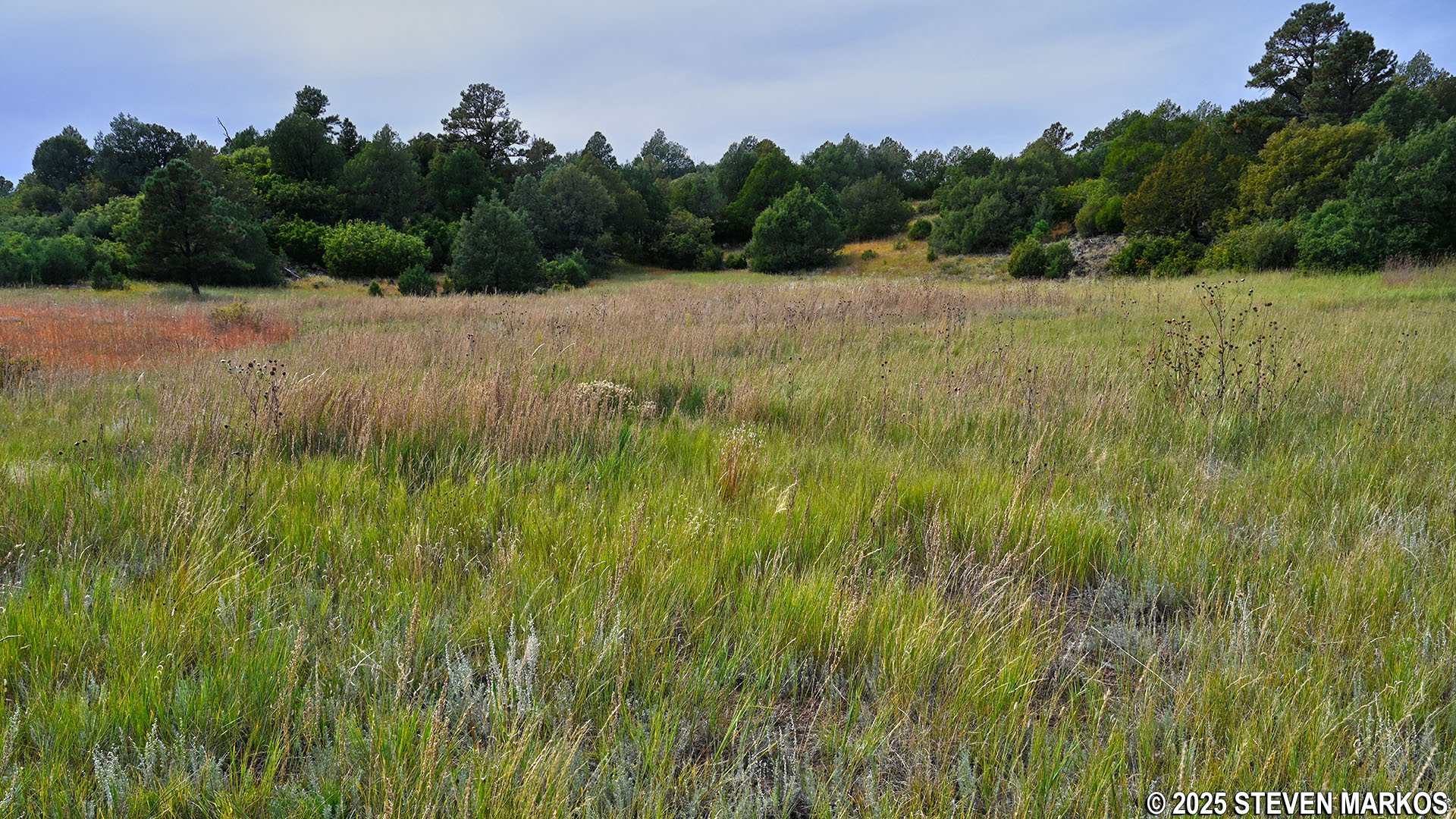
Former lava lake, now a meadow, at Stop 2 on the Boca Trail, Capulin Volcano National Monument
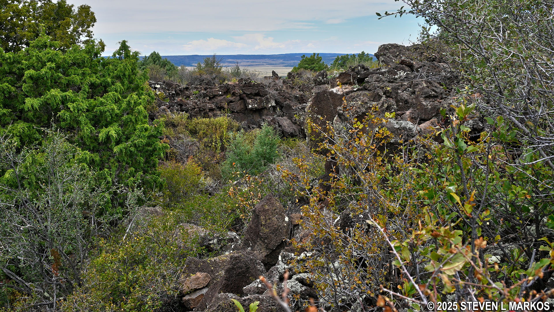
Stop 3 comes just over a hundred yards past Stop 2. There is an old fireplace from the campground days. A side trail leads to a collapsed lava tube. These form as the surface of the lava flow hardens while molten lava continues to flow underneath it. Once the molten lava drains out, a hollow tube remains. Over time, the top of the tube caves in, forming what looks like a gully filled with lava rocks.
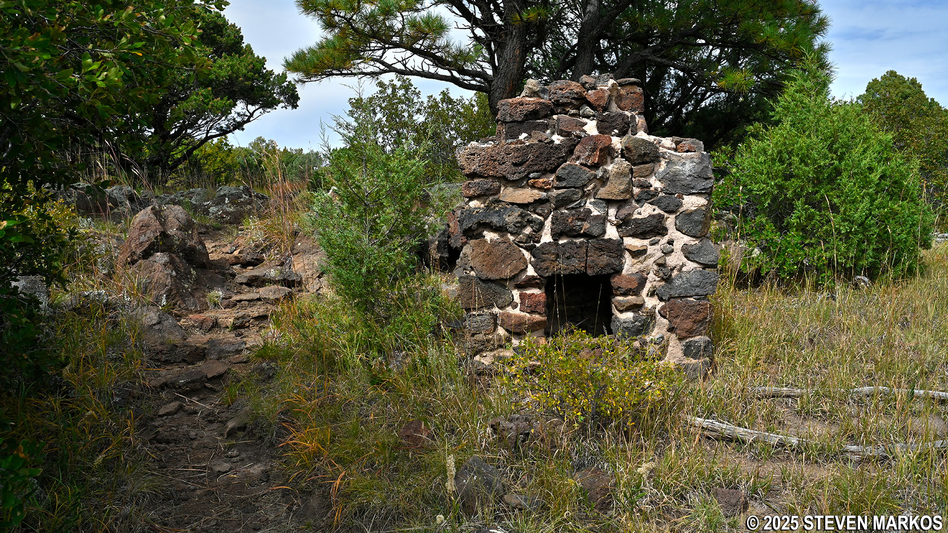
Old campground fireplace at Stop 3 on the Boca Trail, Capulin Volcano National Monument
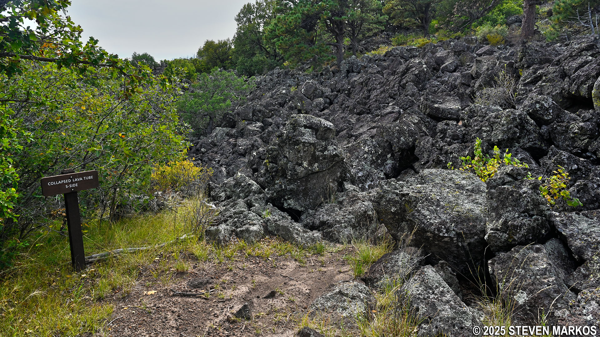
Collapsed lava tube at Stop 3 on the Boca Trail, Capulin Volcano National Monument
The trail occasionally passes through some small wooded areas. However, most of the hike is out in the open, so if avoiding the sun is important to you, be sure to wear a hat and apply sunscreen.
The Boca Trail approaches a wooded area, Capulin Volcano National Monument
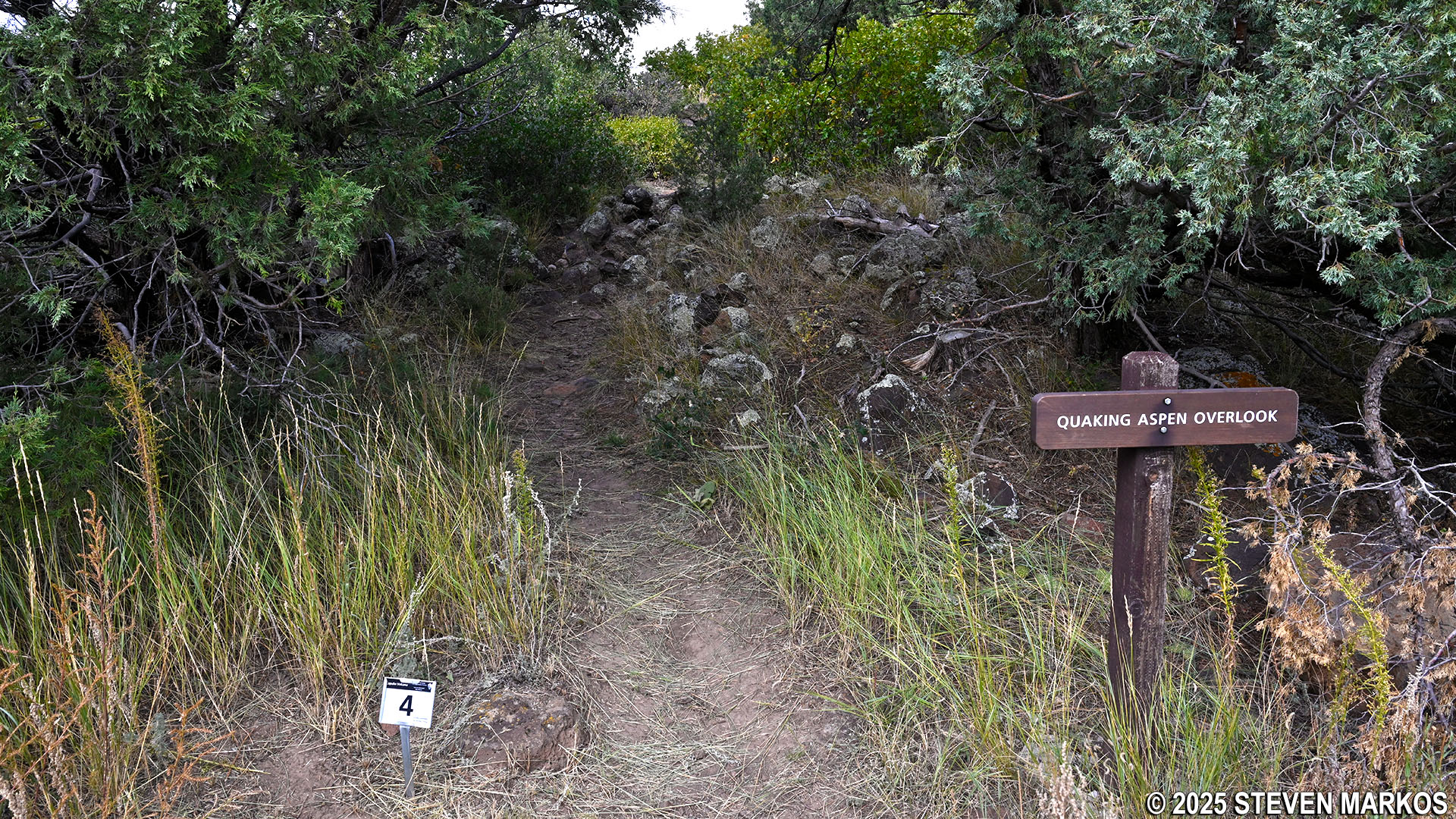
Two-thirds of a mile into the hike is Stop 4. A short-but-steep rocky spur leads to the Quaking Aspen Overlook at the top of a solidified lava cascade. This is where the lava actually tumbled down a cliff, creating a stretch of large lava blocks that extends all the way to NM-325, the road that is visible down below.
Path to Quaking Aspen Overlook at Stop 4 on the Boca Trail, Capulin Volcano National Monument
Quaking Aspen Overlook at Capulin Volcano National Monument
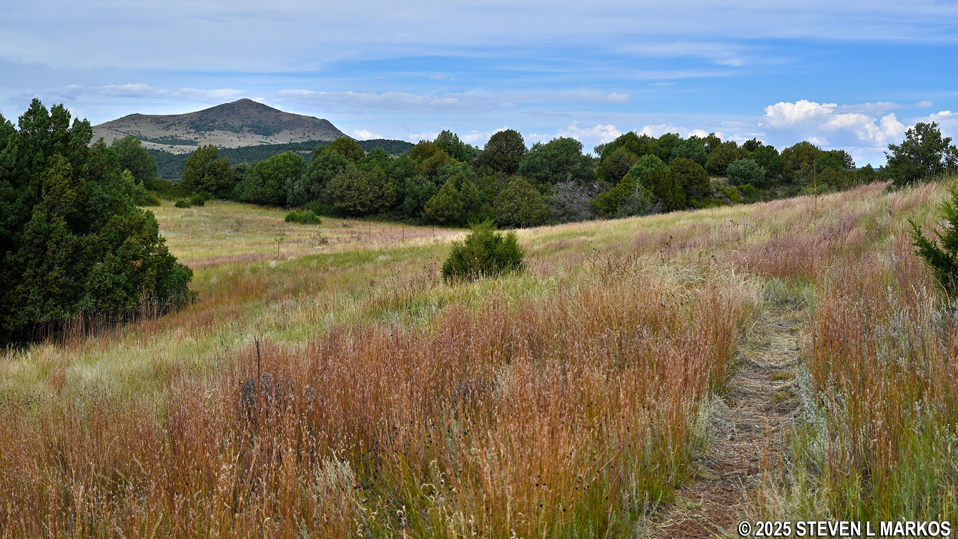
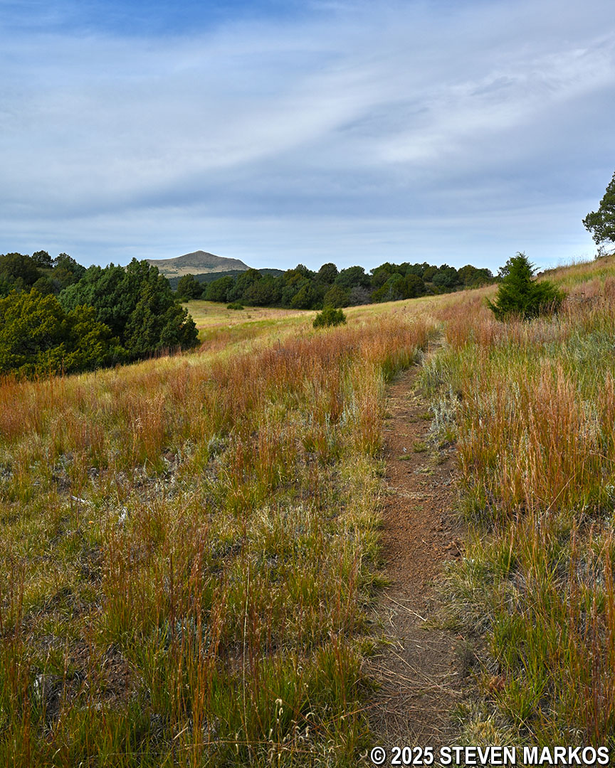
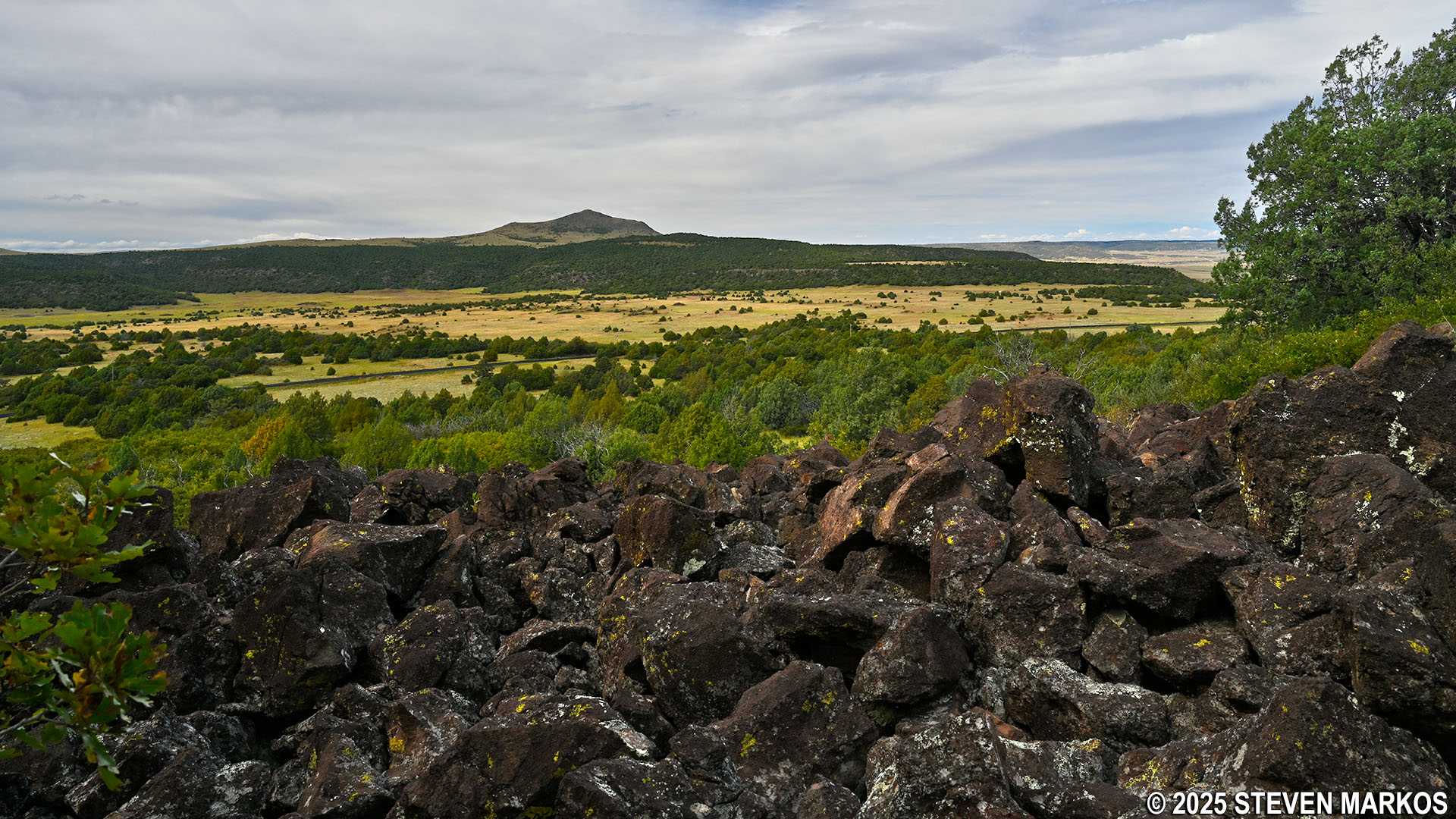
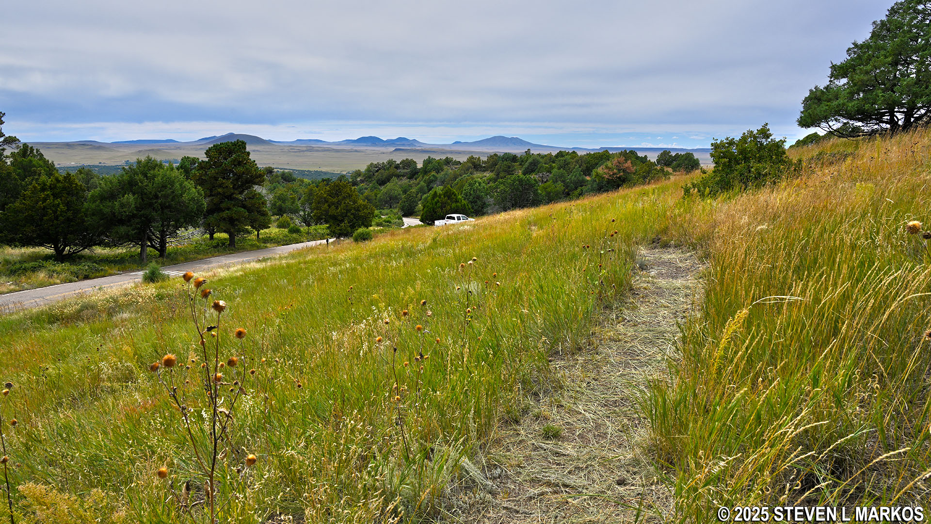
On the way to Stop 5, the Boca Trail continues through another former lava lake, and there is an excellent view of Capulin Volcano. By this time you will have passed through four lava lakes, though these were created during separate eruptions.
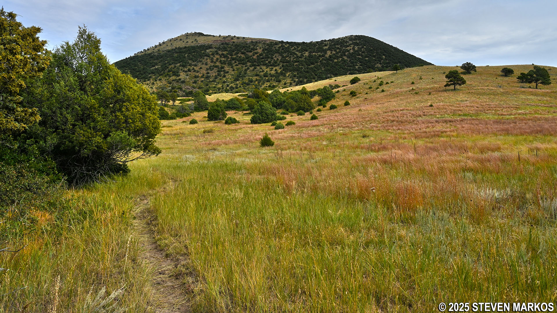
View of Capulin Volcano from the Boca Trail near Stop 5, Capulin Volcano National Monument
Not long after passing Stop 5, the trail begins a .1-mile climb up a hill with an average grade of 14% (strenuous hiking is considered to start at 15%). The terrain also becomes more rocky, and continues that way until reaching another meadow at the boundary fence for Capulin Volcano National Monument. This meadow, which is at Stop 6, was once the largest lava lake in the Boca Lava Flow.
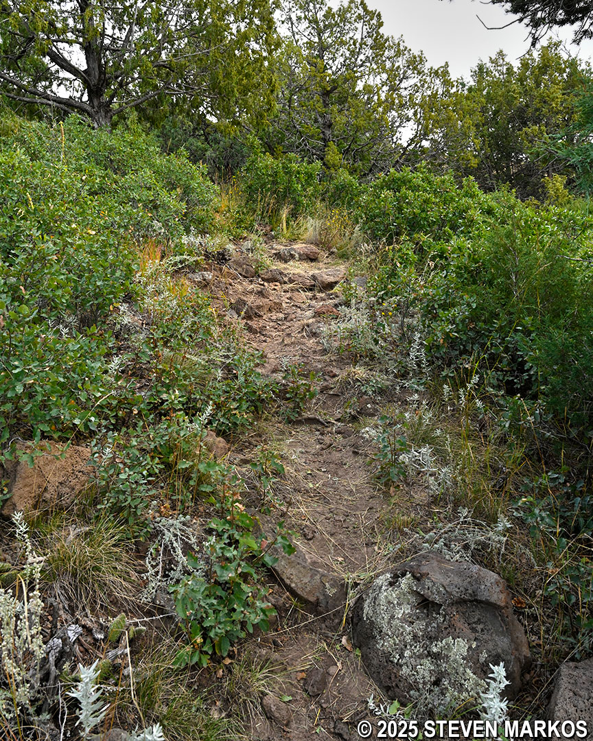
Steep and rocky terrain on the Boca Trail between stops 5 and 6, Capulin Volcano National Monument
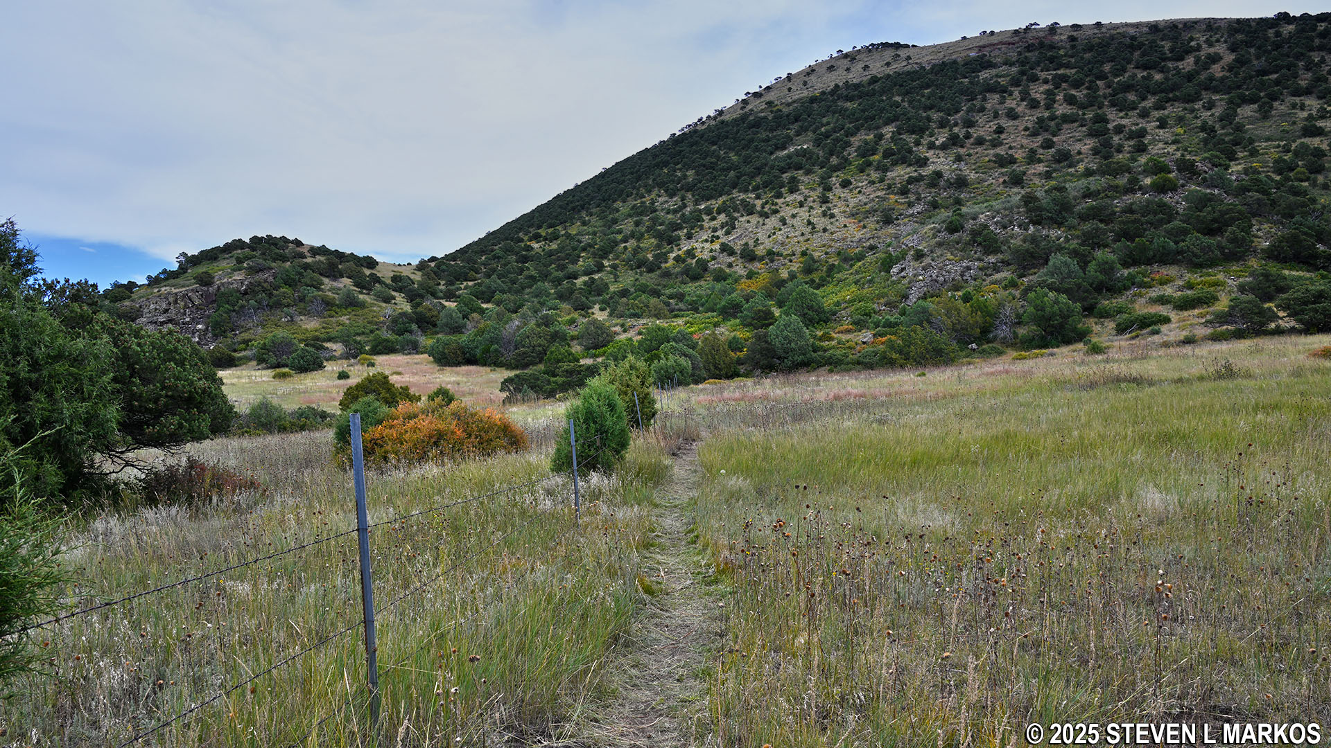
The Boca Trail near Stop 6 at Capulin Volcano National Monument
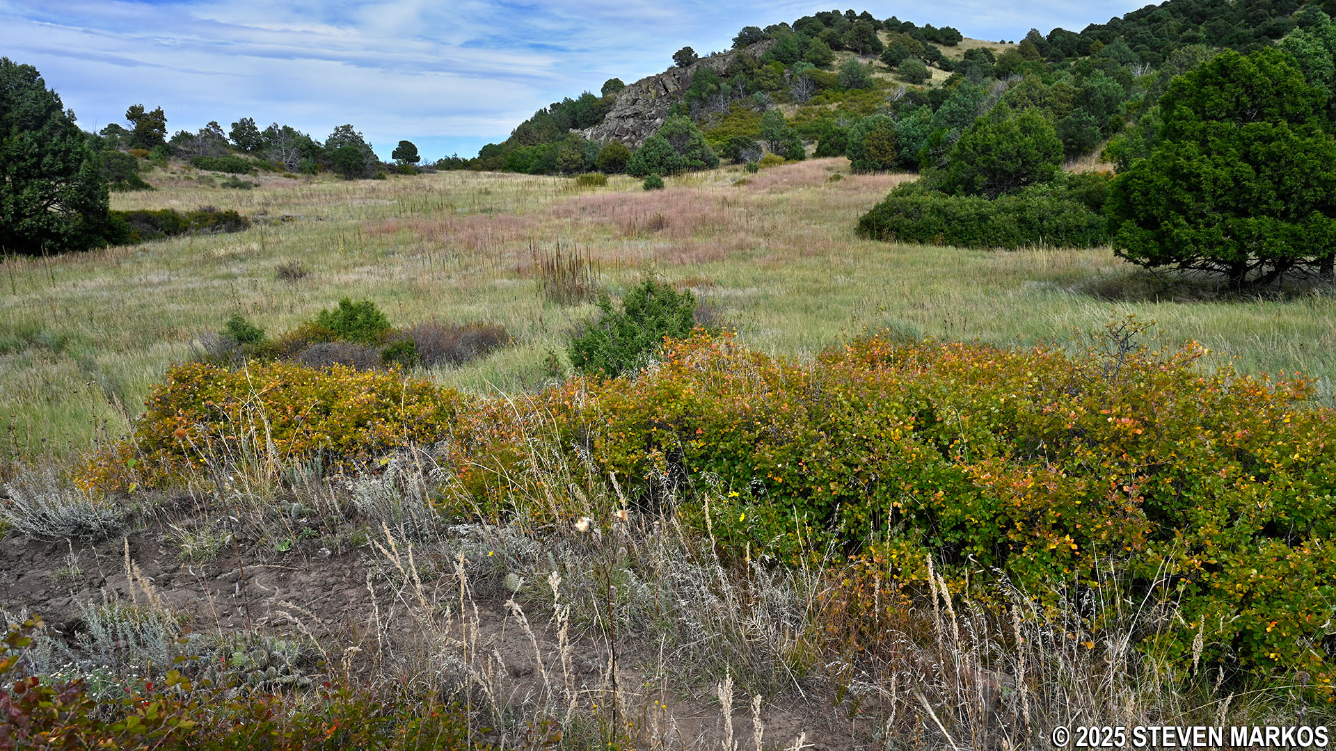
Meadow at Stop 6 on the Boca Trail, Capulin Volcano National Monument
After passing the lava lake, the Boca Trail heads up another steep and rocky hill to the top of a ridge at Stop 7. This is the location of a lava trench. These can form when a lava tube collapses in on itself or when a sheet of hardened lava collapses into a crevice created when the earth underneath it erodes away.
Lava trench at Stop 7 on the Boca Trail, Capulin Volcano National Monument
The trail gradually descends for a short distance to Stop 8, where there is a huge pile of boulders from another collapsed lava tube. The cliff above the rubble was once the top of the tube.
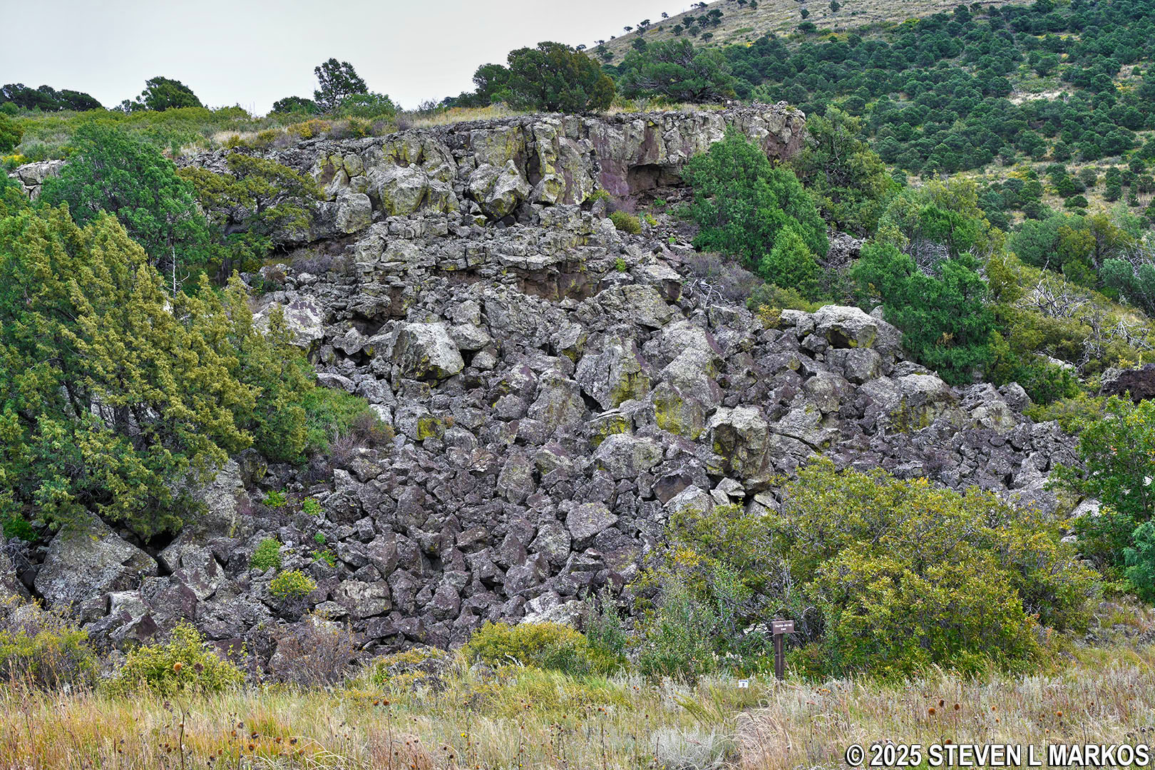
Collapsed lava tube at Stop 8 on the Boca Trail, Capulin Volcano National Monument
From Stop 8, the Boca Trail starts back uphill for roughly two tenths of a mile. At the top is Stop 9 where there are great views of the surrounding area.
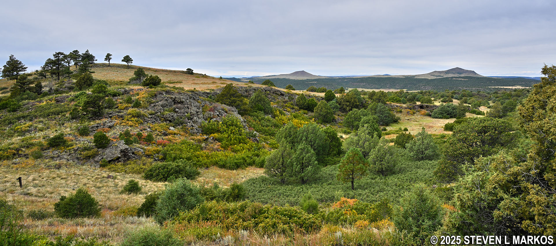
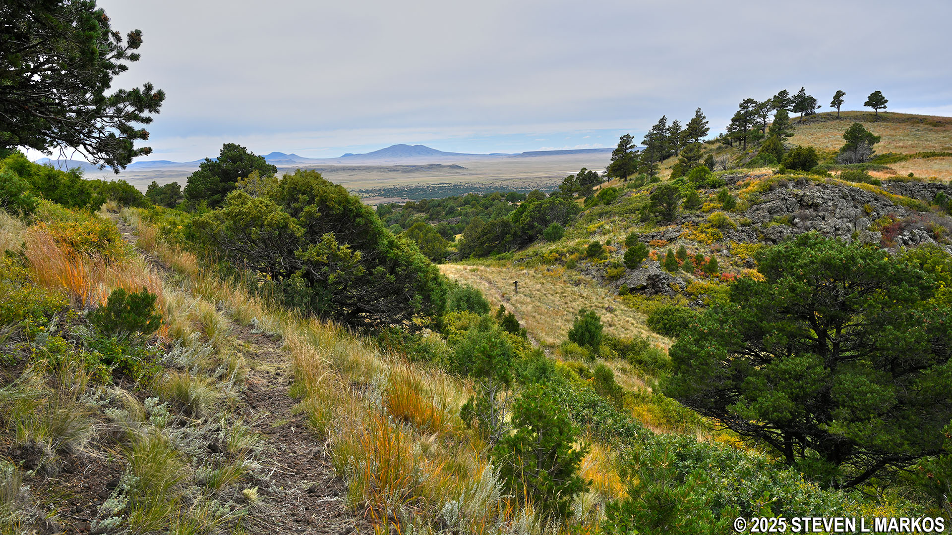
View from Stop 9 on the Boca Trail, Capulin Volcano National Monument
In the distance is what looks like a cave and a cliff of rock extending to its left. This is a lava levee, which is the edge of a lava flow when it finally cooled and stopped flowing. The lava that pooled behind it is what created some of the lava lakes at Capulin Volcano National Monument.
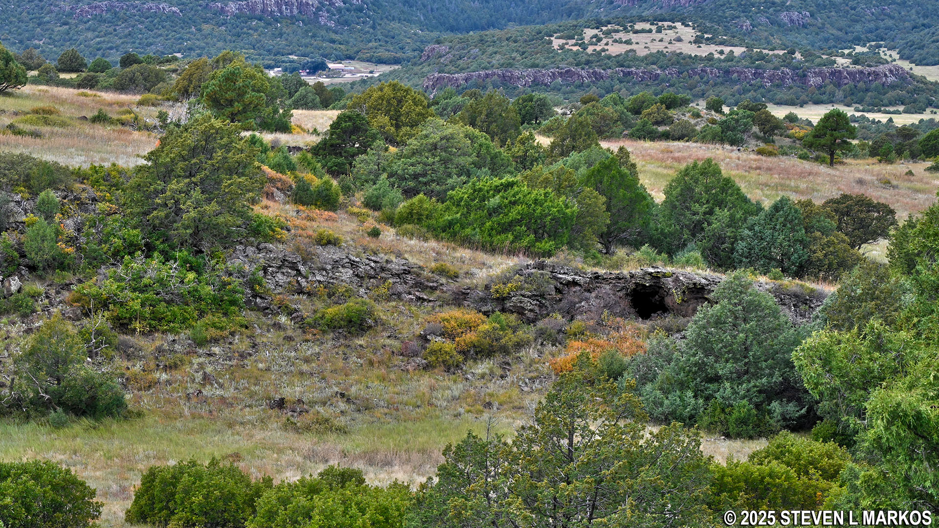
View of the eastern lava levee at Stop 9 on the Boca Trail, Capulin Volcano National Monument
The trail continues along a ridge for about a hundred yards before heading down one last hill, passing Stop 10 along the way. After .2 mile, you will be back at the start of the loop at Volcano Road. From there, cross the road to take the trail back to the parking lot.
The Boca Trail follows a ridge near Stop 9, Capulin Volcano National Monument
Last leg of the Boca Trail loop near Volcano Road, Capulin Volcano National Monument
With a few exceptions, use of any photograph on the National Park Planner website requires a paid Royalty Free Editorial Use License or Commercial Use License. See the Photo Usage page for details.
Last updated on October 30, 2025


