

Johnson Ferry South Trail Map (click to enlarge)
Length: 1.9 miles round trip
Time: 1 hour
Difficulty: Flat and easy
Download Johnson-Ferry-South-Trail-Map (PDF)
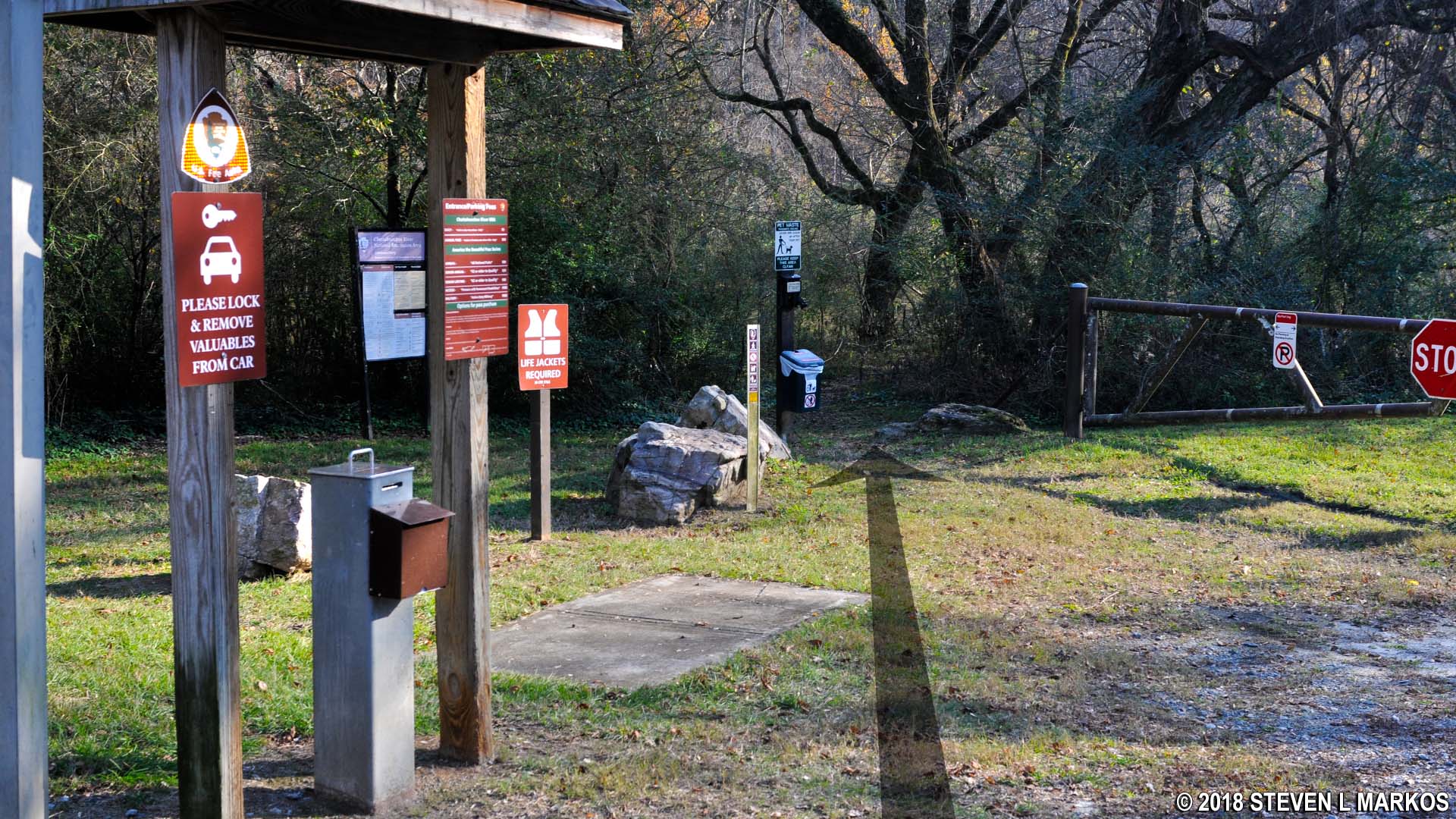
There is one trail at the Johnson Ferry South unit of the Chattahoochee River National Recreation Area, a pointless 1-mile out-and-back trail for people who have nothing better to do. The trailhead is located at Parking Lot #2 (the first parking lot is always gated), but this actually puts you in the middle of the trail at intersection JS 1 (see the above trail map). A .6-mile section lies to the left, and a .3-mile section is to the right. Both sections are as wide as a one-lane dirt road. There is also a narrow trail that heads in the direction of the Chattahoochee River that is likely to draw your attention. However, this ends at the river a hundred feet ahead, so don’t bother with it unless you just want a view of the river.
Short trail at the Johnson Ferry South parking lot that ends at the Chattahoochee River
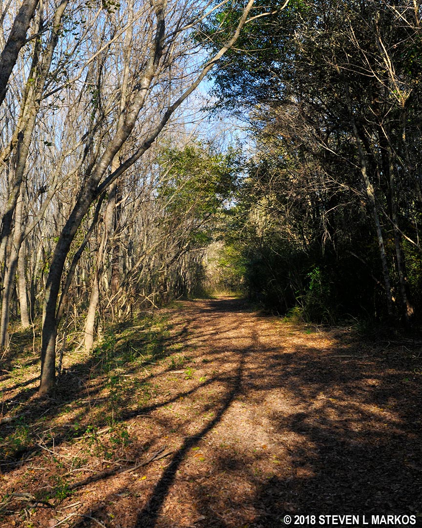
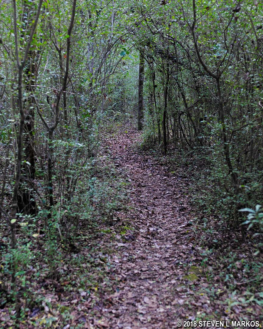
As mentioned, the longer of the two trail segments is to the left (if you are facing the river). The trail is wide and remains this way to the very end. There is no need to carry a trail map, as it is impossible to get lost.

The longest trail segment at Johnson Ferry South is left of the trailhead information board, Chattahoochee River National Recreation Area
Typical terrain of the Johnson Ferry South trails, Chattahoochee River National Recreation Area
One reason the hike is a waste of time is because other than at the very start, there are no views of the Chattahoochee River. While the trail runs parallel to the river, it is often fifty feet or more from the water, and the thick brush prohibits even getting a glimpse of it through the leaves.
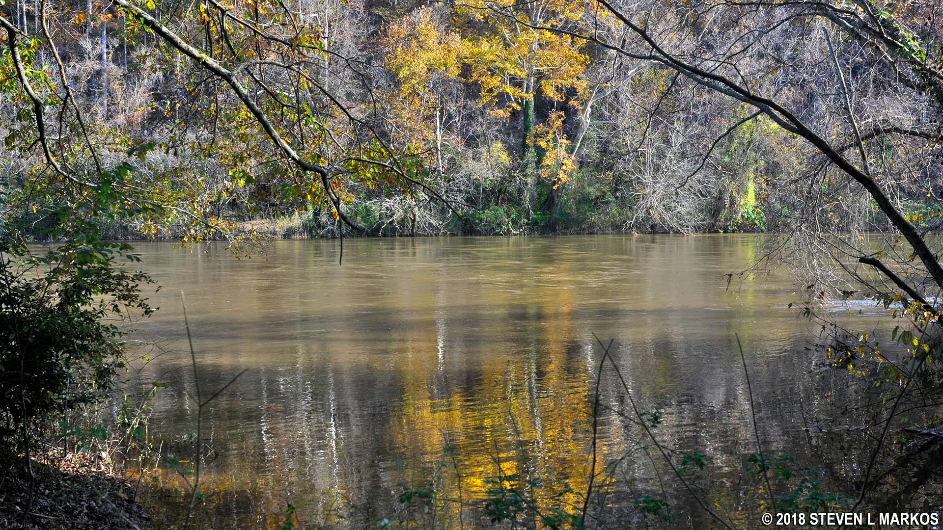
Clear view of the Chattahoochee River near the JS 1 trail intersection at the Johnson Ferry South unit of Chattahoochee River National Recreation Area
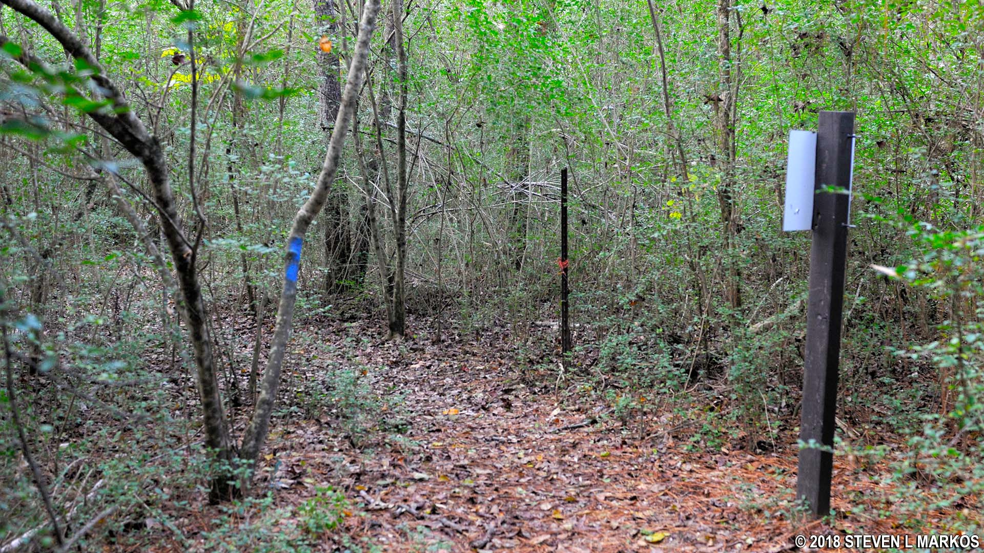
There was a small loop at the end, but this has been washed out, and now the area is closed for erosion control. Thus, when you get to the trail sign that marks intersection JS 3, it’s time to turn around.
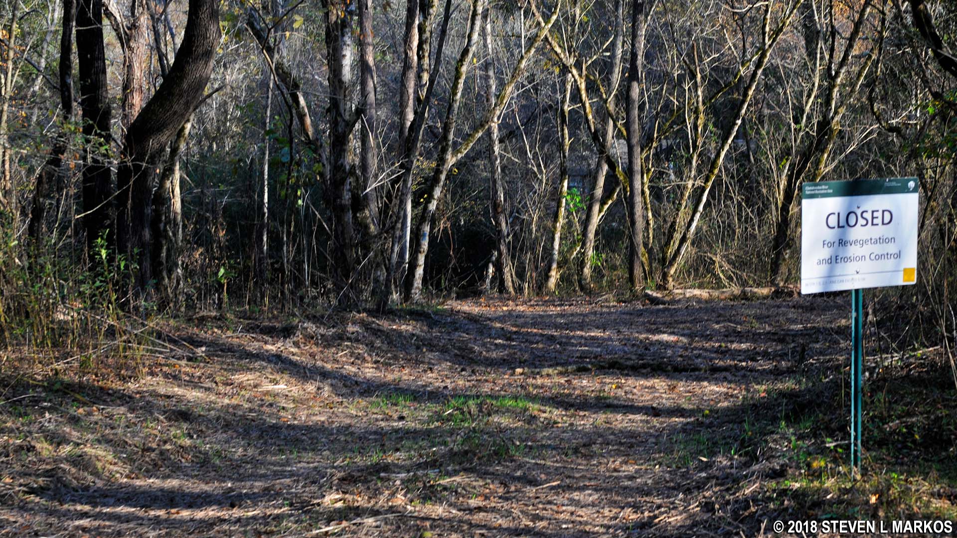
Area near the JS 3 intersection on the Johnson Ferry South trails at Chattahoochee River National Recreation Area
The .3-mile hike to the right begins by heading towards the covered pavilion. The trail itself continues beyond the pavilion and is at first as wide as the section to the left.

Southbound trail at the Johnson Ferry South unit of Chattahoochee River National Recreation Area heads towards the covered picnic pavilion
However, the last tenth of a mile narrows and even gets a little overgrown, gradually closing in on you until the end, though it always remains hikable. I seriously doubt that many people travel down it, so I was surprised that it was in as good of shape as it was.
Trail narrows as it approaches the JS 2 intersection in the Johnson Ferry South unit of Chattahoochee River National Recreation Area
There is a trail sign marking the JS 2 intersection at the very end of the official trail, but the path continues farther, heading both straight and forking to the left just past the sign. Regardless of which way you go, in fifteen seconds you’ll end up in somebody’s back yard, so turn around at the sign. Or better yet, don’t hike this segment to begin with.
JS 2 intersection on the Johnson Ferry South trail in Chattahoochee River National Recreation Area
With a few exceptions, use of any photograph on the National Park Planner website requires a paid Royalty Free Editorial Use License or Commercial Use License. See the Photo Usage page for details.
Last updated on May 15, 2024


