

Beach at De Soto National Memorial
De Soto National Memorial is located on a peninsula surrounded by the Manatee River on its three sides. Much of the shore, particularly on the east side, is lined with small, sandy beaches. Mangroves cover the rest of the shoreline and are found mainly on the west side.
While swimming is not a big draw to the park, it is allowed as long as you can get to the beach without clearing brush or bushwhacking your way to the water. There are no lifeguards, so you swim at your own risk. The current is very strong on the west side of the peninsula, and it is therefore suggested to use the beaches located along the cove on the east side. The easiest way to get to them is to follow the De Soto Expedition Trail. There are plenty of paths that lead to the river along the trail.
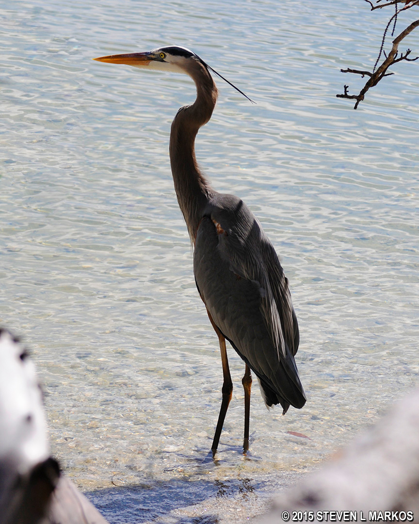
The only beachgoer I saw during my visit to De Soto National Memorial
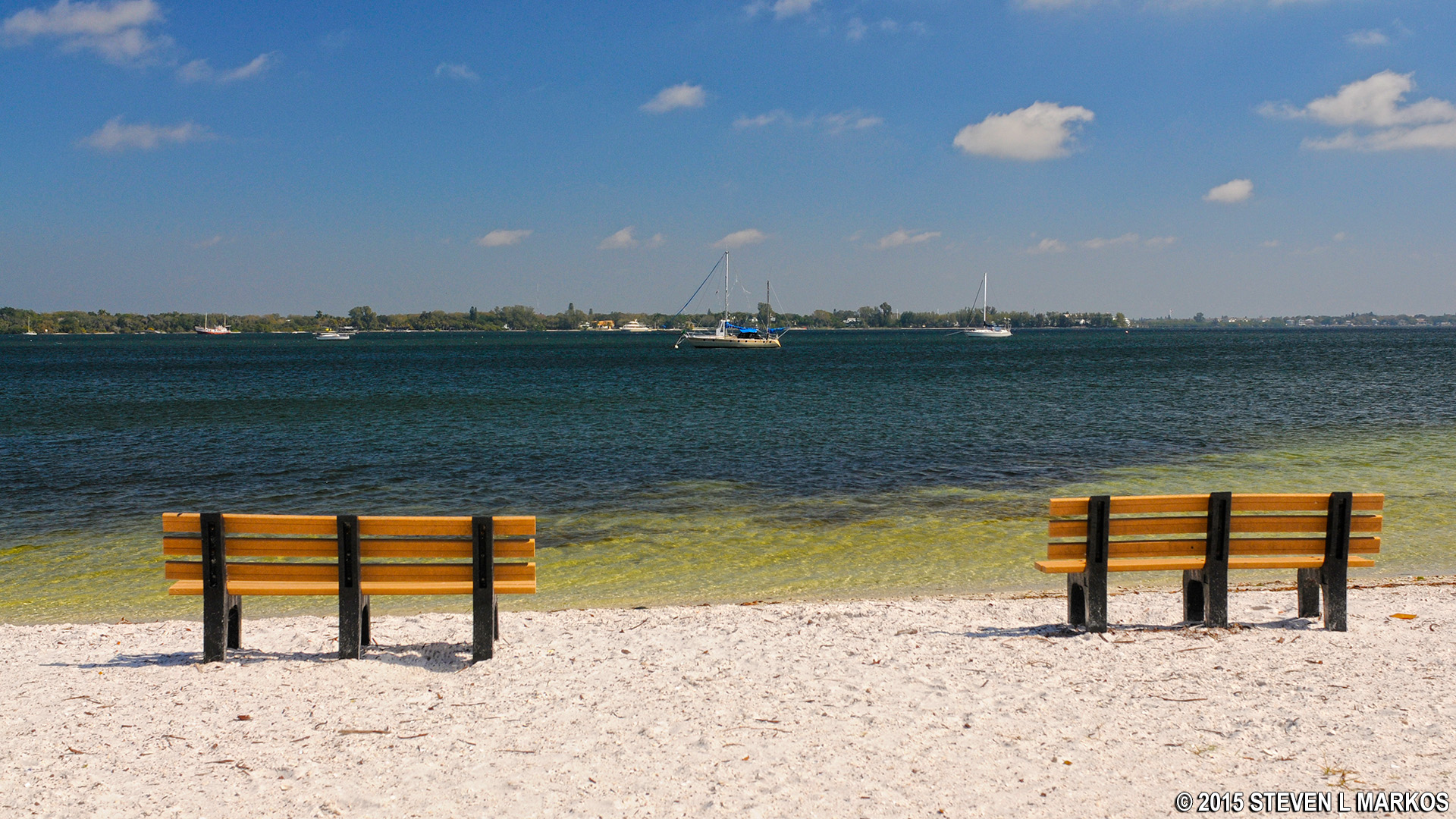
Beach on the Manatee River at De Soto National Memorial

Beach along the De Soto Expedition Trail at De Soto National Memorial
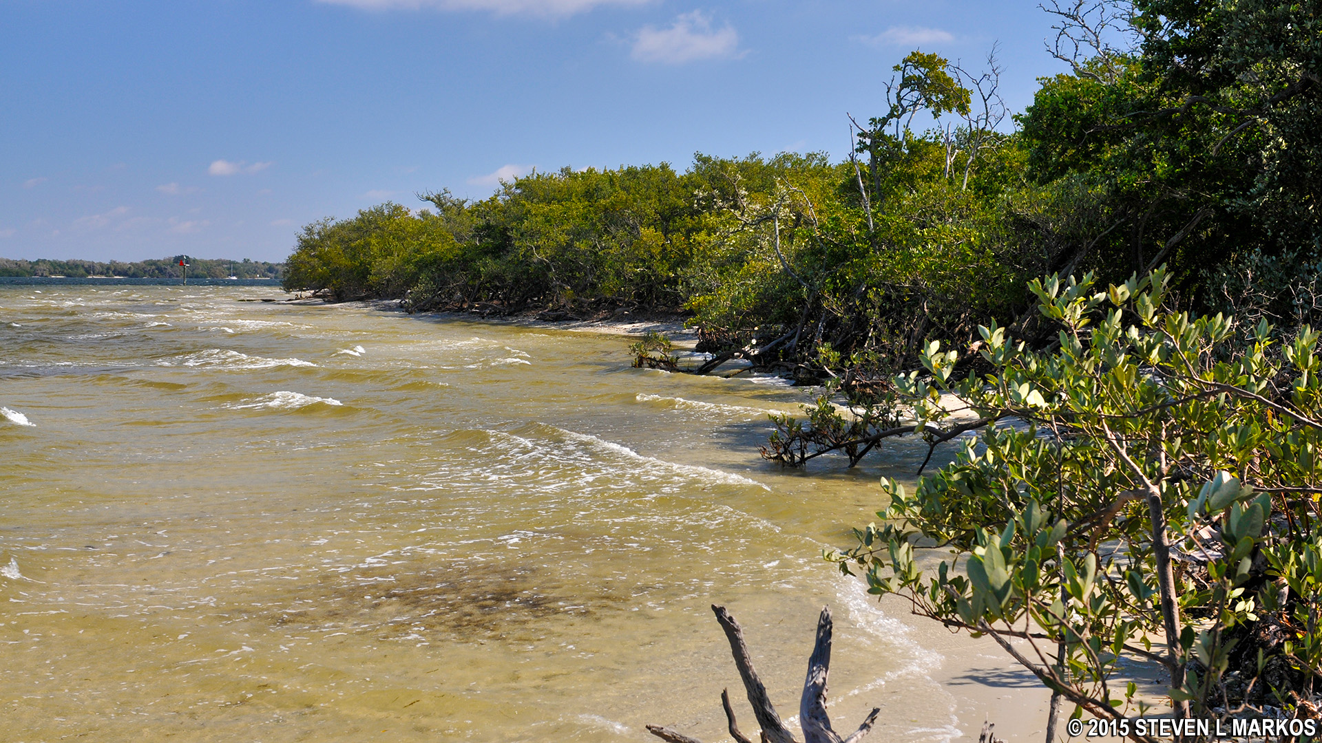
Mangroves on the west side of De Soto National Memorial
With a few exceptions, use of any photograph on the National Park Planner website requires a paid Royalty Free Editorial Use License or Commercial Use License. See the Photo Usage page for details.
Last updated on February 16, 2021


