
Lava Flow Trail at Sunset Crater Volcano National Monument
The Lava Flow Trail at Sunset Crater Volcano National Monument is a two-part loop trail that leads across the base of Sunset Crater Volcano. The upper loop, which is paved and accessible for wheelchairs, walkers, and strollers, is just .4-mile long. The longer .7-mile lower loop is unpaved, and because there are many jagged and sharp rocks on the trail, no pets are allowed. Pets are allowed on the paved section.
For those who want to learn about geology while hiking, thirteen stops along the trail correspond with information in a trail brochure available at the Visitor Center. Because the trail is divided into two sections, there is no way to follow the stops in chronological order. Stops 1 through 4 and 13 are situated along the paved upper loop. Stops 5 through 12 are located on the lower loop section.
WHEELCHAIR ACCESSIBLE UPPER LOOP
Length: .4-mile loop
Time: 15 minutes
Difficulty: ★☆☆☆☆
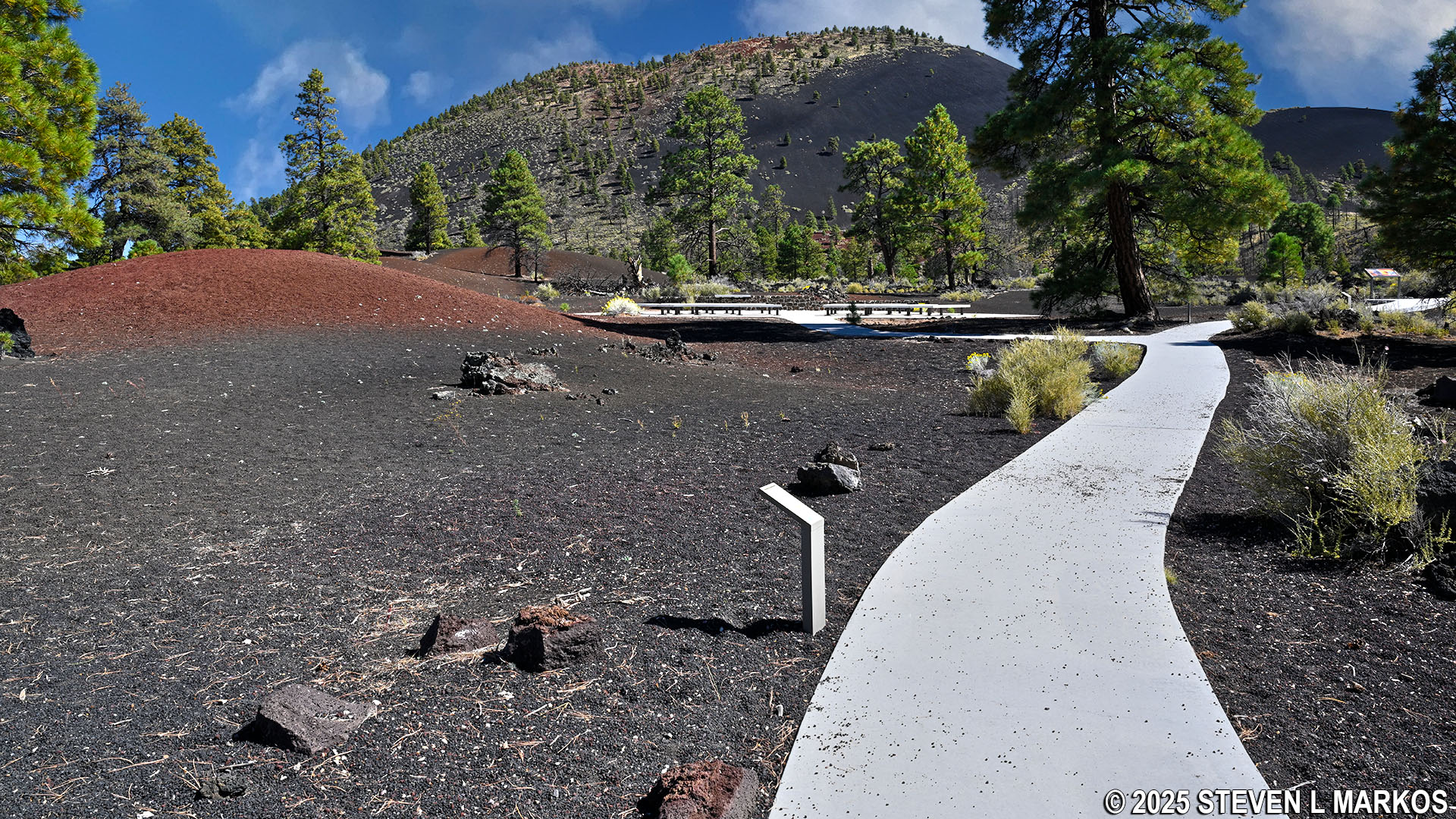
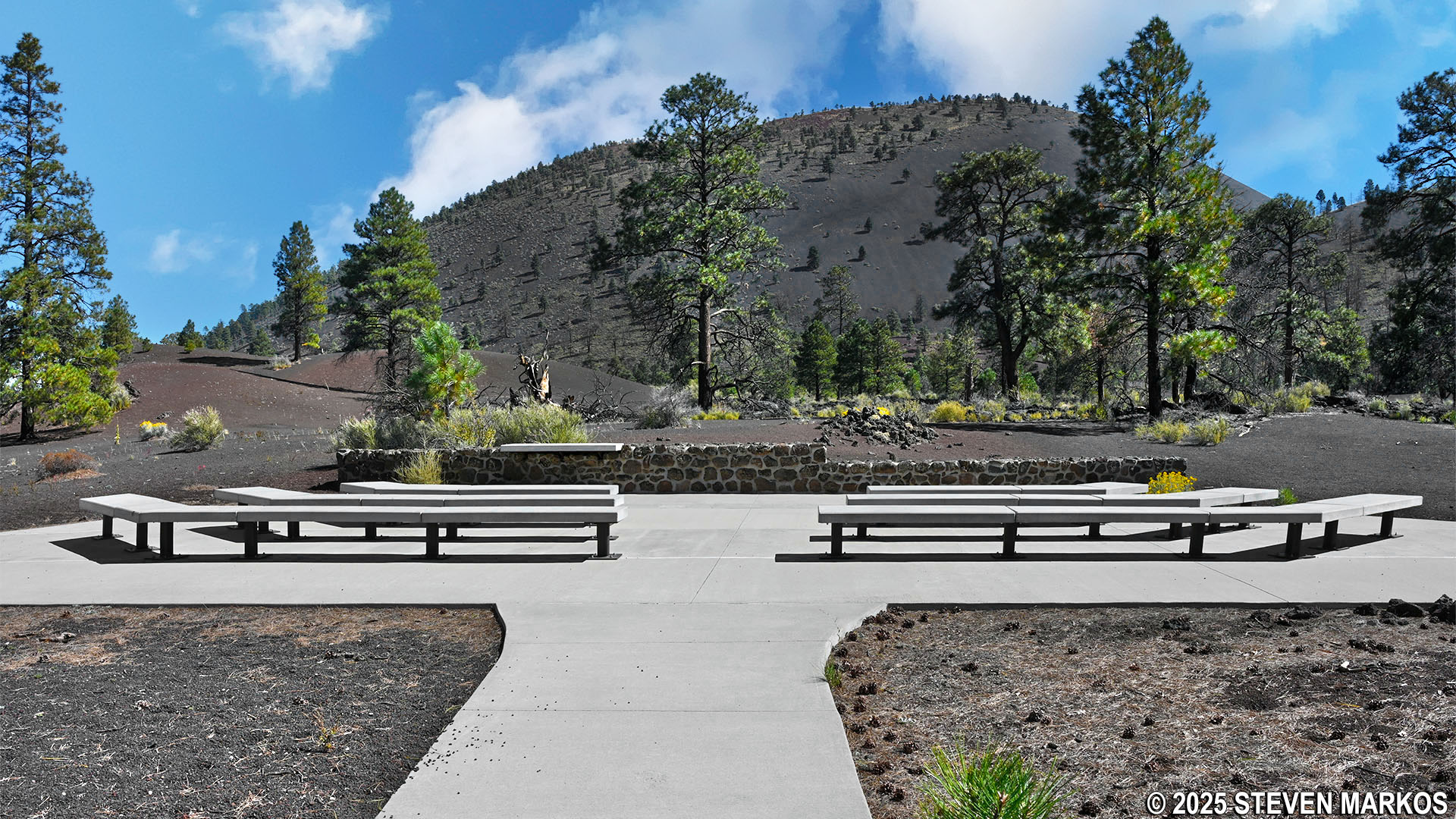
Regardless of which loop you decide to hike, the Lava Flow Trail starts off as a paved path. It is lollipop shaped, meaning that you first hike out on the stick portion before coming to the actual loop, which is a little less than a tenth of a mile from the start at the parking lot. Along the way is a turnoff for an outdoor amphitheater. This is a fantastic place to sit and enjoy scenic views of Sunset Crater Volcano. You can also visit here on a clear night for spectacular views of the starry skies.
Outdoor amphitheater on the Lava Flow Trail at Sunset Crater Volcano National Monument
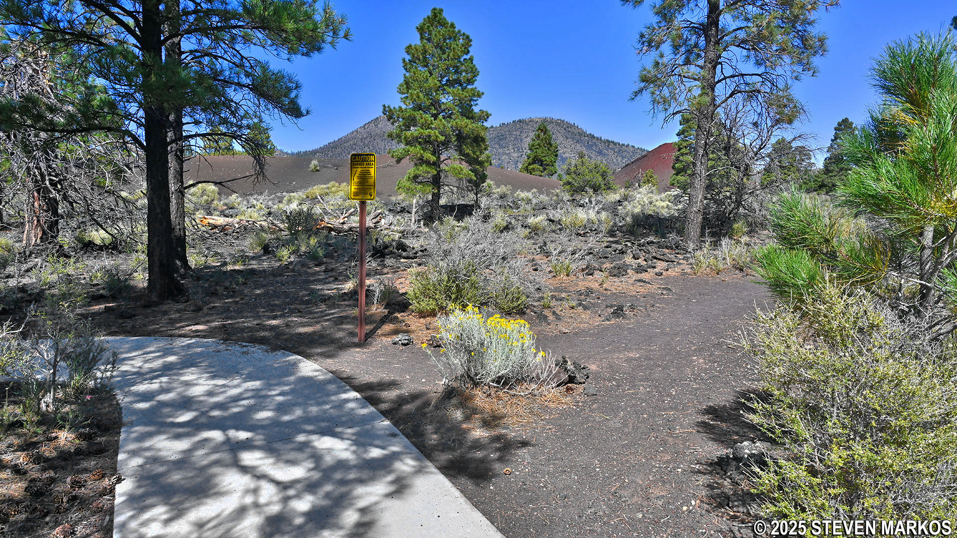
A couple of hundred feet past the amphitheater is Stop 1, which has a wayside exhibit about the creation of Sunset Crater. Here you can see the basalt rock of the Bonito Lava Flow and the surrounding San Francisco Volcanic Field with Sunset Crater in the background.
View of the Bonito Lava Flow and Sunset Crater from the Lava Flow Trail at Sunset Crater Volcano National Monument
The trail continues across a bridge over the Bonita Lava Flow. It reminded me of a distributary that branches off a lake or river.
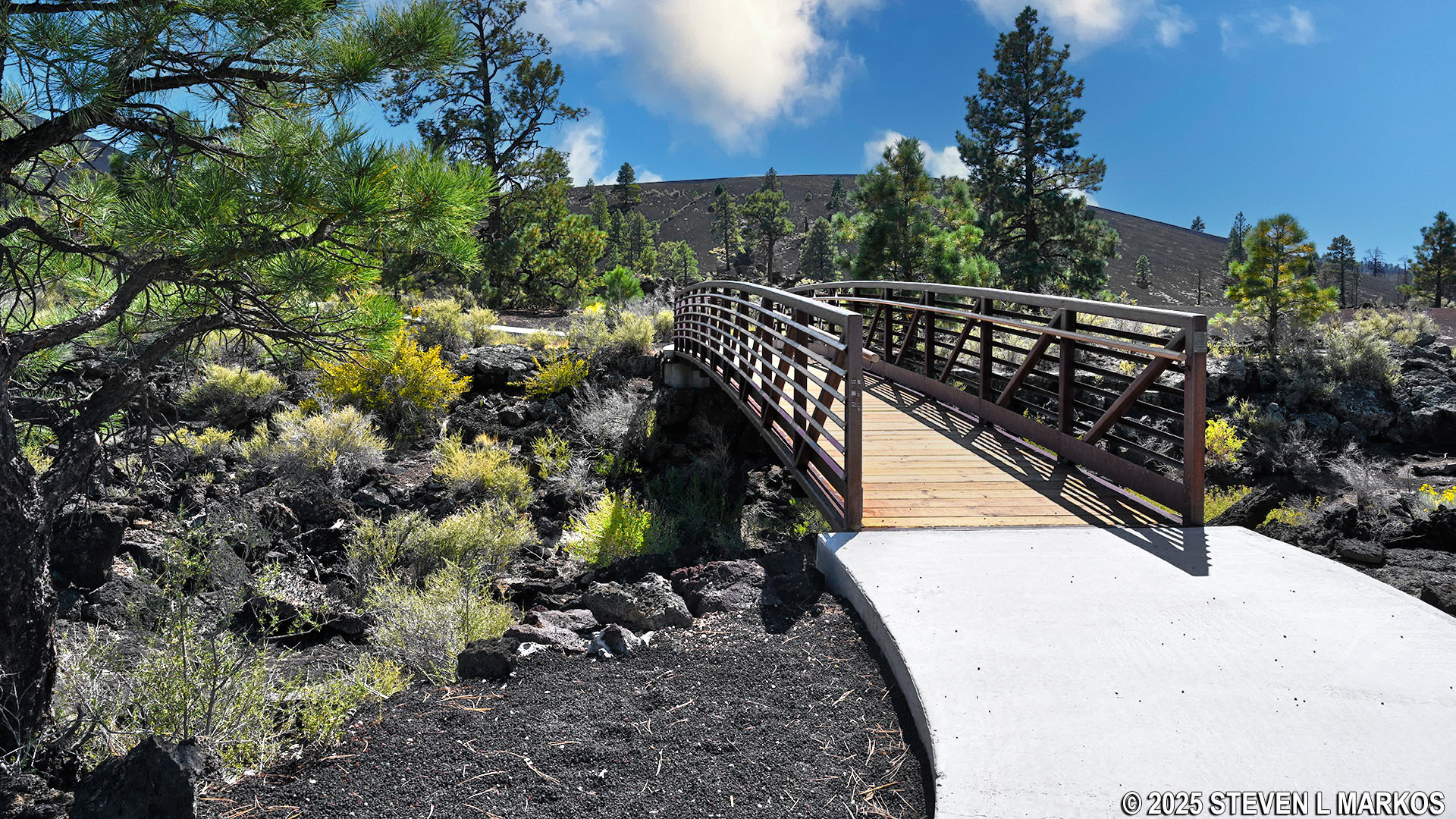
Bridge over the Bonito Lava Flow on the Lava Flow Trail at Sunset Crater Volcano National Monument
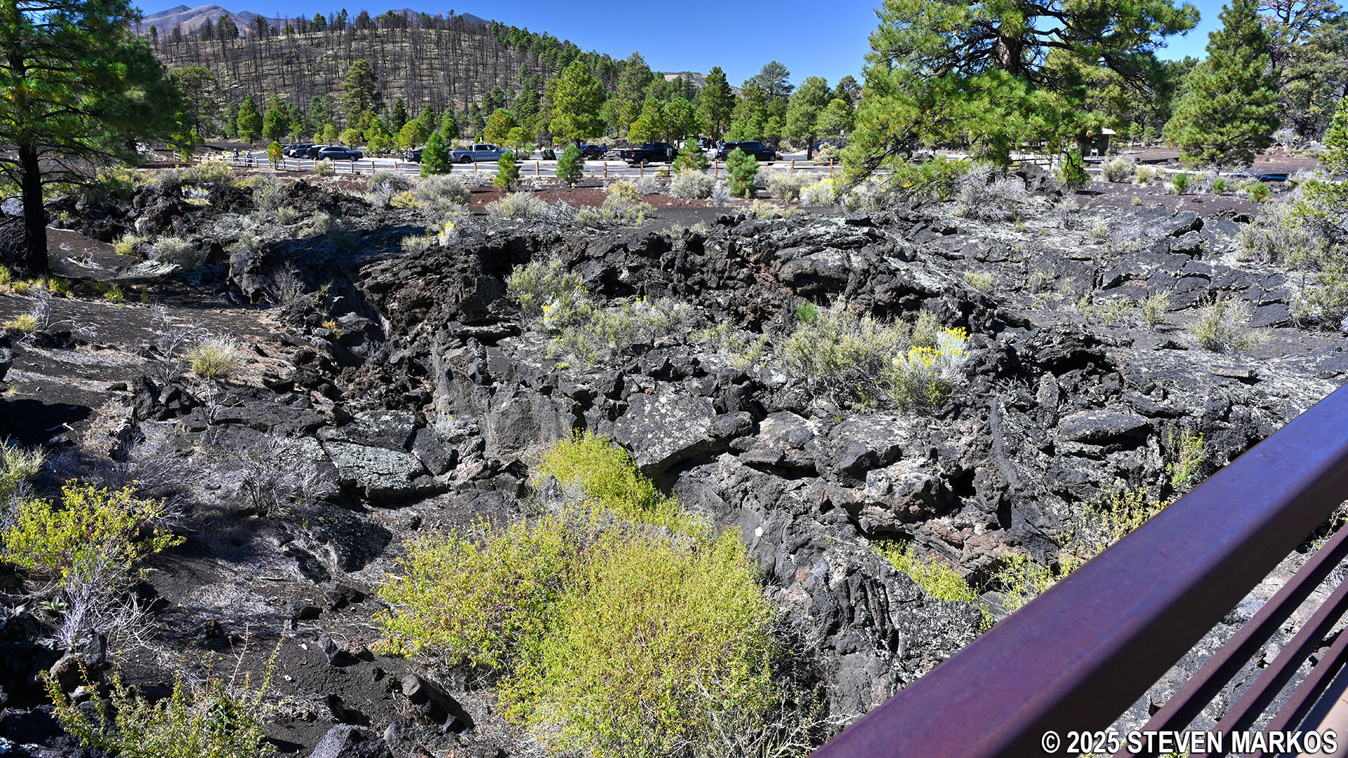
View of the Bonito Lava Flow from the Lava Flow Trail at Sunset Crater Volcano National Monument
Fifty yards after the bridge is Stop 2, which marks the start of the loop. A sign directs hikers to continue to the right, as this is the way to go in order to come to the informational stops in chronological order.
Just past Stop 2 is the turnoff for the lower loop. To see stops 3 and 4 on the Lava Flow Trail, you must continue along the paved path. However, if you choose to hike the lower loop at this time, it does reconnect to the paved trail on the other side, so you can backtrack to the missed stops later on.
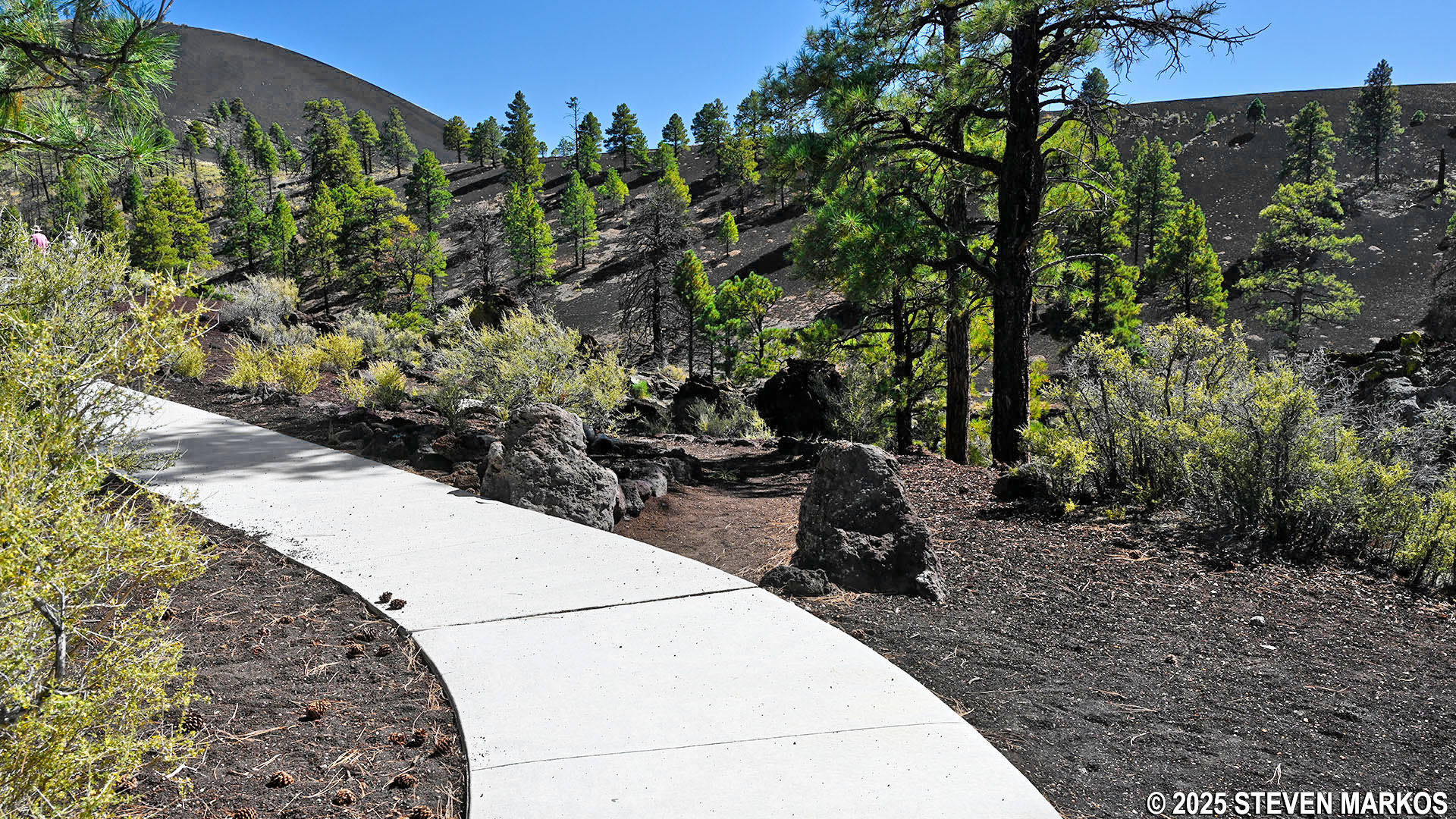
Start of the lower loop on the Lava Flow Trail at Sunset Crater Volcano National Monument
On the way to Stop 3 are two wayside exhibits that detail information on volcanoes and the surrounding geological landscape.
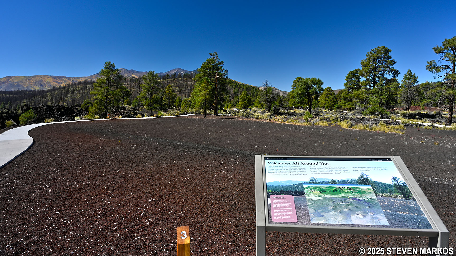
Stop 3 on the Lava Flow Trail at Sunset Crater Volcano National Monument
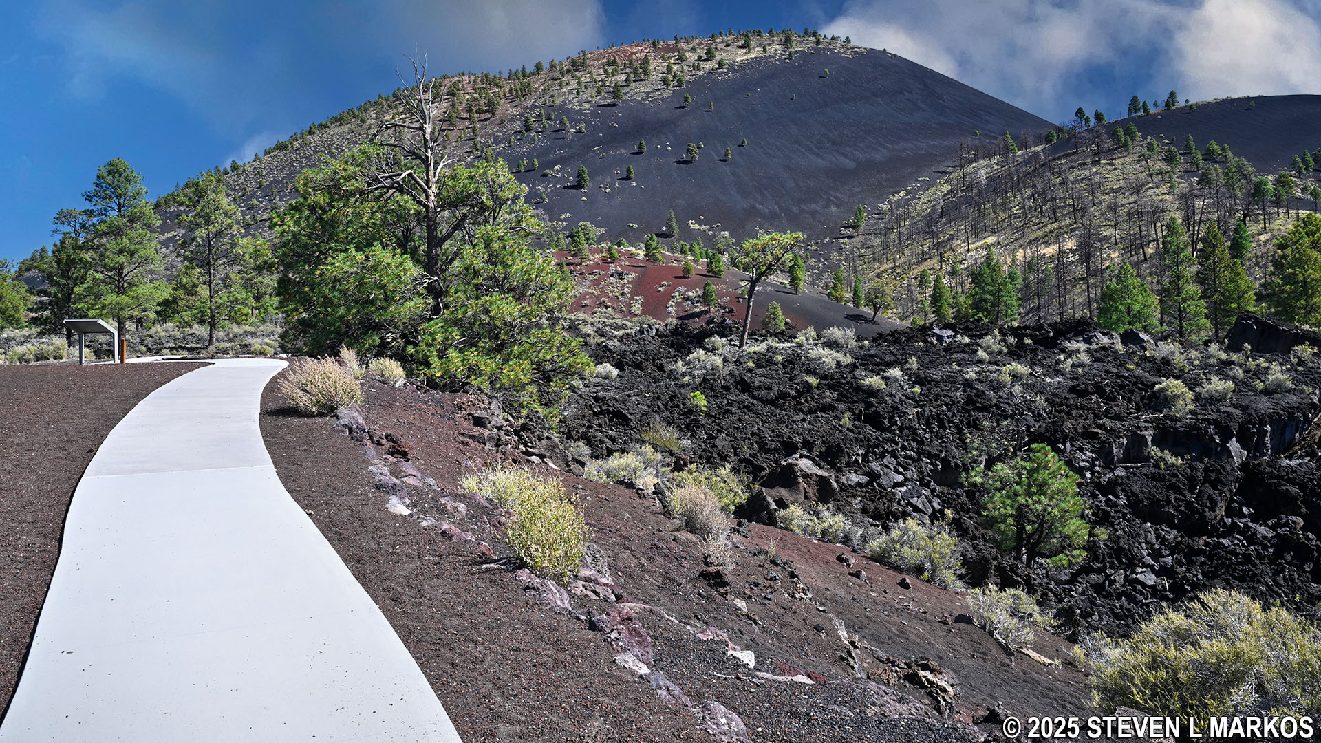
At Stop 4, which is just a couple of hundred feet past Stop 3, is an overlook that provides views of a lava bulge, also called a squeeze-up. These form when the surface of flowing lava slowly hardens while molten lava continues to flow underneath. The pressure created by the flowing lava slowly becomes too much for the crust to contain, causing cracks where lava “squeezes up” and forms bubbles. As the bubbles accumulate, they eventually form a bulge, like the one in front of you.
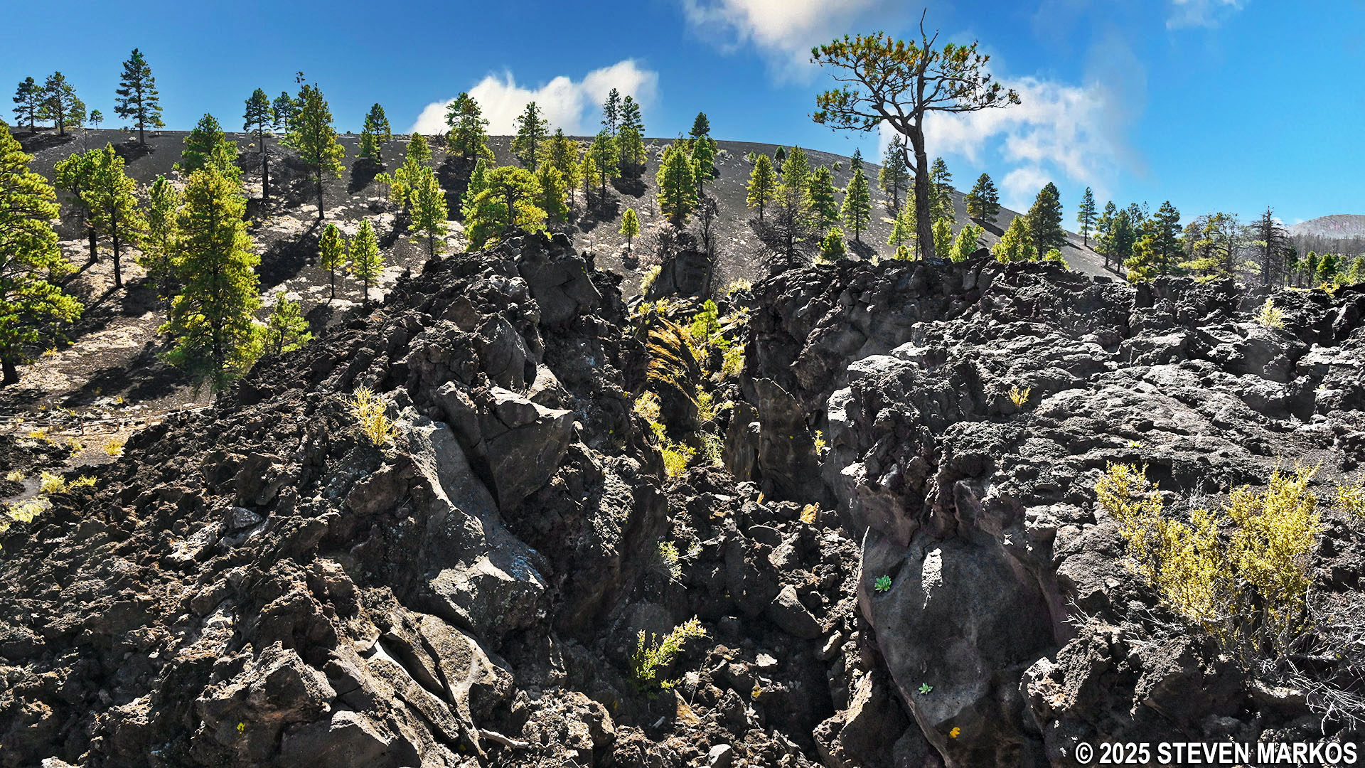
Lava bulge at Stop 4 on the Lava Flow Trail, Sunset Crater Volcano National Monument
A quarter mile into the hike is the intersection where the lower loop reconnects with the paved upper loop on the northern side of the Lava Flow Trail. This is just a stone’s throw past Stop 4.
Lower loop reconnects to the paved upper loop on the north side of the Lava Flow Trail, Sunset Crater Volcano National Monument
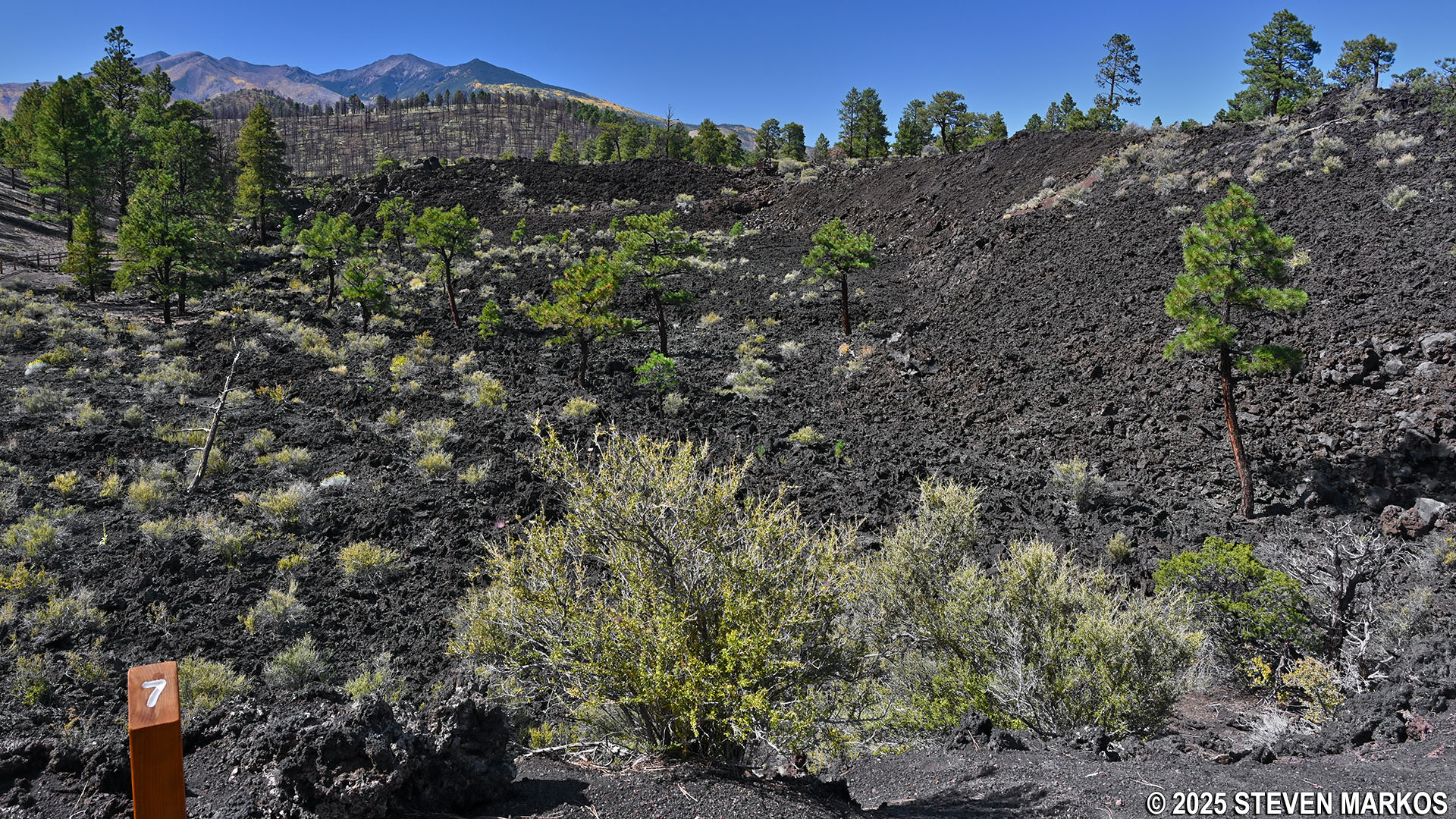
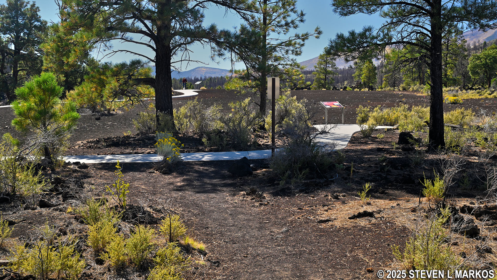
The final point of interest on the lower loop is Stop 13. In less than a hundred yards beyond that, you will be back at the start of the loop at Stop 2. At this point you can continue around to the left on the paved path and hop onto the lower loop or head back to the parking lot by taking a right.
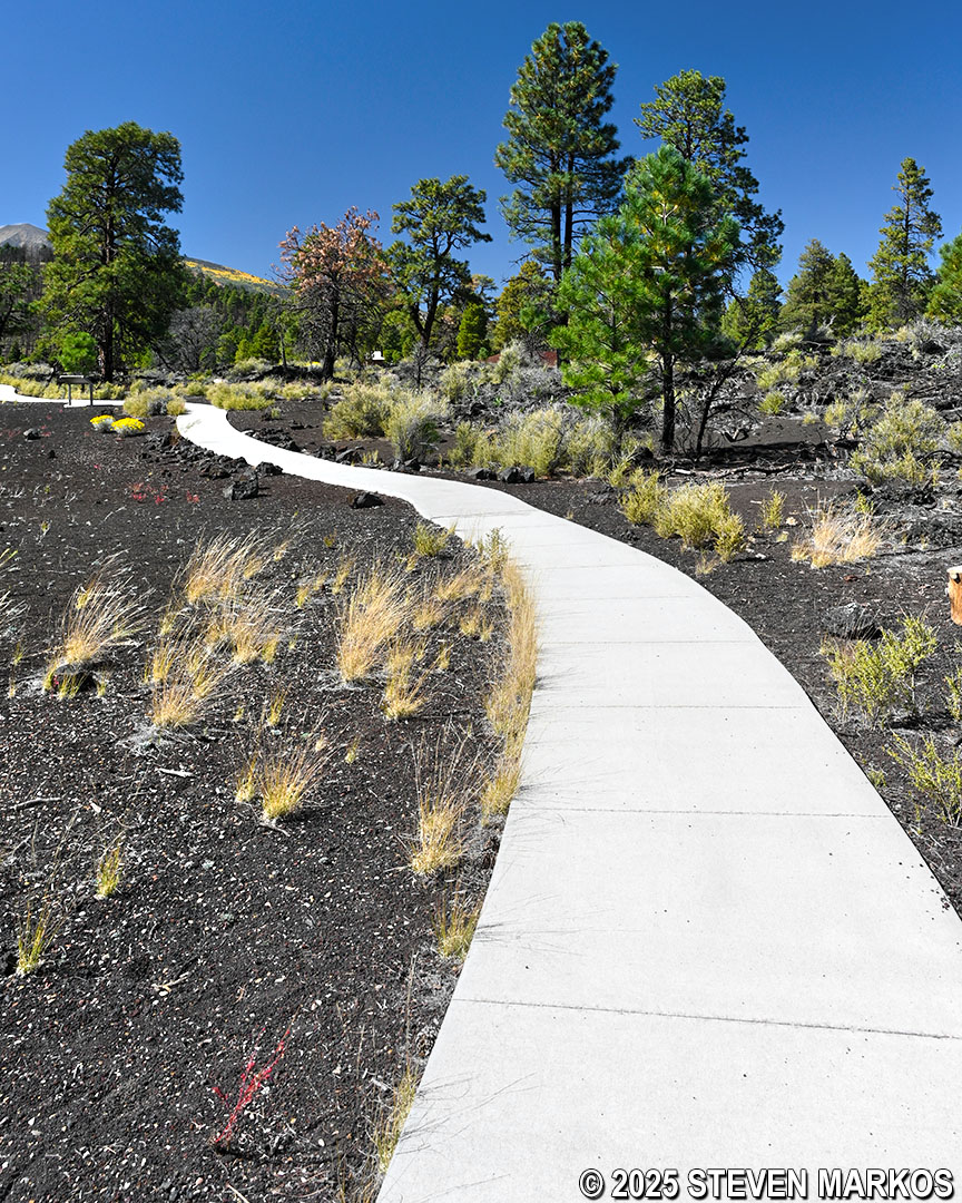
Upper loop on the way to Stop 13 on Lava Flow Trail at Sunset Crater Volcano National Monument
LOWER LOOP
Length: .7-mile loop
Time: 45 minutes
Difficulty: ★★☆☆☆
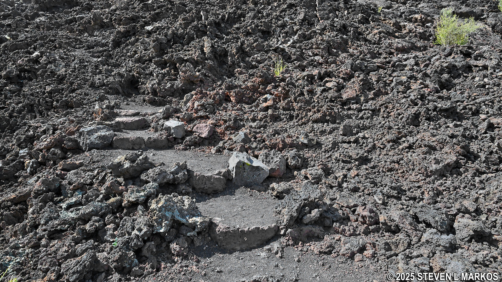
As mentioned in the upper loop review, the lower loop of the Lava Flow Trail begins just past Stop 2. It starts off as a loose gravel path, and the first 200 feet descend fairly steeply at an average grade of 14% (strenuous hiking is considered to start at 15%).
View from the bottom of the hill at the start of the Lava Flow Trail’s lower loop, Sunset Crater Volcano National Monument
The Lava Flow Trail continues down a metal staircase before traversing a small part of the Bonito Lava Flow’s southeastern edge. The staircase includes 30 steps and is quite steep, but it has handrails for those who need assistance. Once at the bottom, the terrain is fairly level for the next quarter mile.
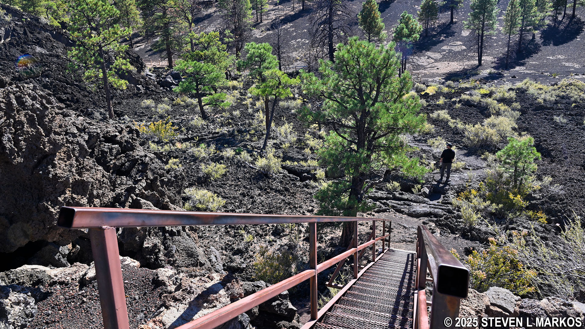
Metal staircase on the lower loop of Lava Flow Trail at Sunset Crater Volcano National Monument
On the way to Stop 5—the first informational stop on the lower loop of the Lava Flow Trail—are the remnants of a Sinagua-style pit house and steps that would have led to another house. The Sinagua people lived in central Arizona from around 1100 to 1425. Items discovered in these pit houses helped archaeologists determine when Sunset Crater Volcano was created.
Doorway of a Sinagua-style pit house on the Lava Flow Trail at Sunset Crater Volcano National Monument
Steps leading to remnants of a Sinagua-style pit house on the Lava Flow Trail at Sunset Crater Volcano National Monument
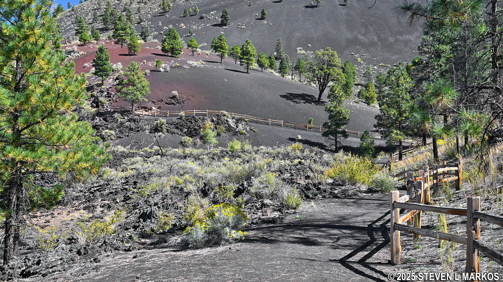
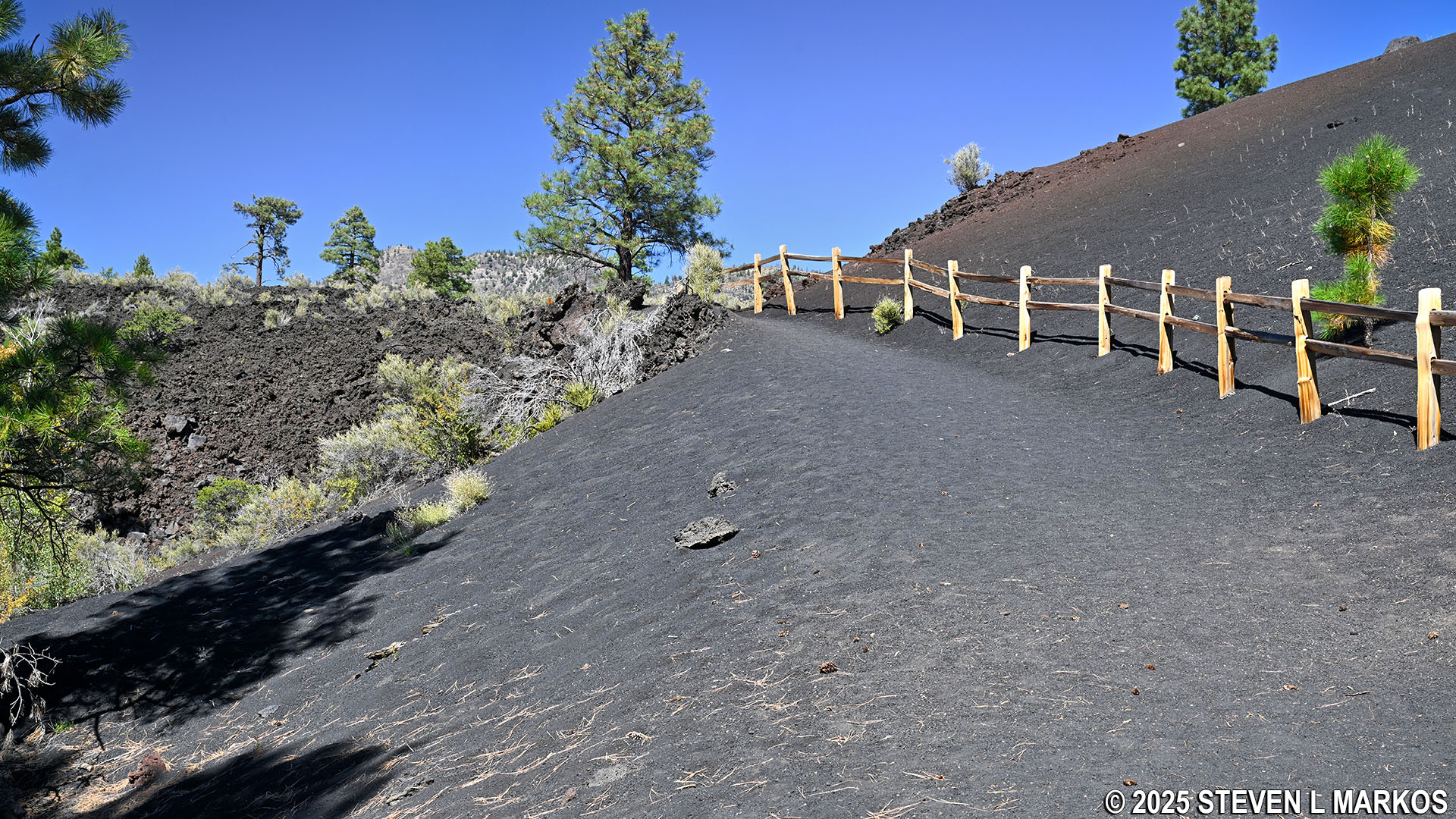
The Lava Flow Trail continues past Stops 5 and 6 while following along a wooden fence. As the trail turns north, it begins a .1-mile moderate uphill climb along the base of Sunset Crater Volcano. While the hill only has an 8% grade overall, there are short segments that are much steeper. In the past, there was a trail all the way to the top of the volcano, but it was closed in 1973 due to erosion caused by all of the hikers. Today, this section of the Lava Flow Trail is as close to the top of the volcano as you can get—and it’s not very far up.
Path of the Lava Flow Trail following along a wooden fence at Sunset Crater Volcano National Monument
Uphill hike along the base of Sunset Crater on the Lava Flow Trail, Sunset Crater Volcano National Monument
Halfway up the hill is Stop 7. From here the San Francisco Peaks are visible on the western horizon during clear weather.
View of the San Francisco Peaks from Stop 7 on the Lava Flow Trail, Sunset Crater Volcano National Monument
At the top of the hill is Stop 8, which comes a half mile into the hike. A fallen, dead ponderosa pine tree still displays some of the characteristics that trees in the area developed to adapt to the environment. Noteworthy is the spiral grain, which reduces strength but increases flexibility to sustain high winds in the area. It also provides an even distribution of water, which is beneficial in a dry climate.
Fallen ponderosa pine tree at Stop 8 on the Lava Flow Trail, Sunset Crater Volcano National Monument
The next point of interest on the Lava Flow Trail is a small spatter cone at Stop 9. Spatter cones are formed when lava is forced up through an opening in the cooled surface of a lava flow. These types of cones are fed by the underlying flow rather than the deep magma that sources larger volcanic eruptions.
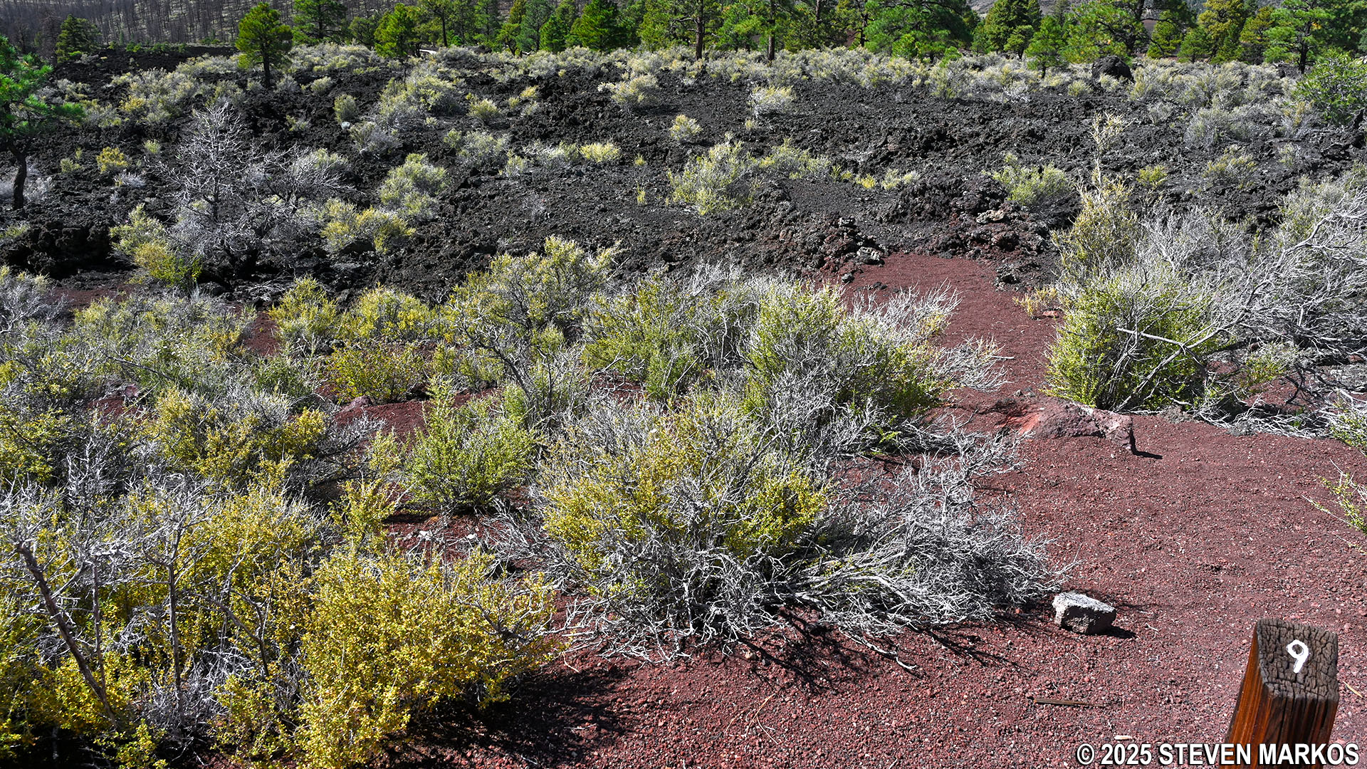
Spatter cone at Stop 9 on the Lava Flow Trail, Sunset Crater Volcano National Monument
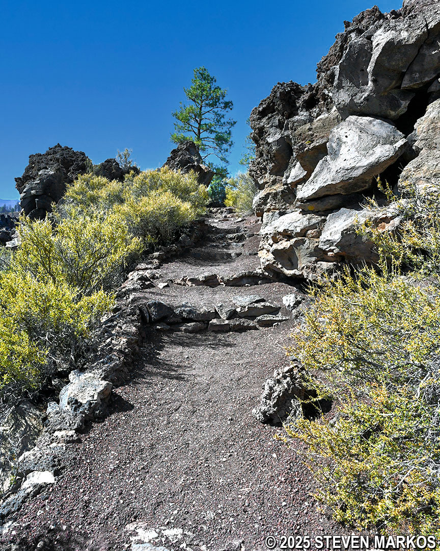
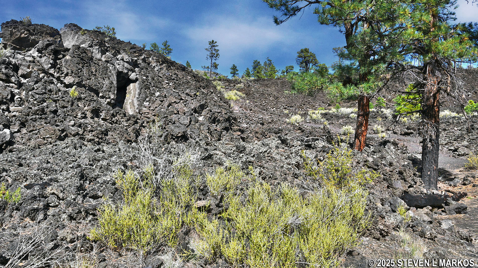
A hundred feet past Stop 9 is a short-but-steep hill. The terrain also becomes a little rocky in some spots. Despite this, the overall trail is well-maintained and easy to follow.
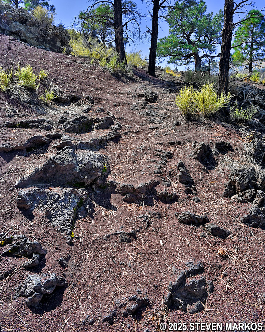
Section of rocky terrain on the Lava Flow Trail at Sunset Crater Volcano National Monument
The Lava Flow Trail now begins a gradual descent as it continues across the same rocky terrain. Towards the bottom of the hill is another spatter cone. This is a larger cone than the one at Stop 9, but it was formed in the same manner.
Large spatter cone on the Lava Flow Trail at Sunset Crater Volcano National Monument
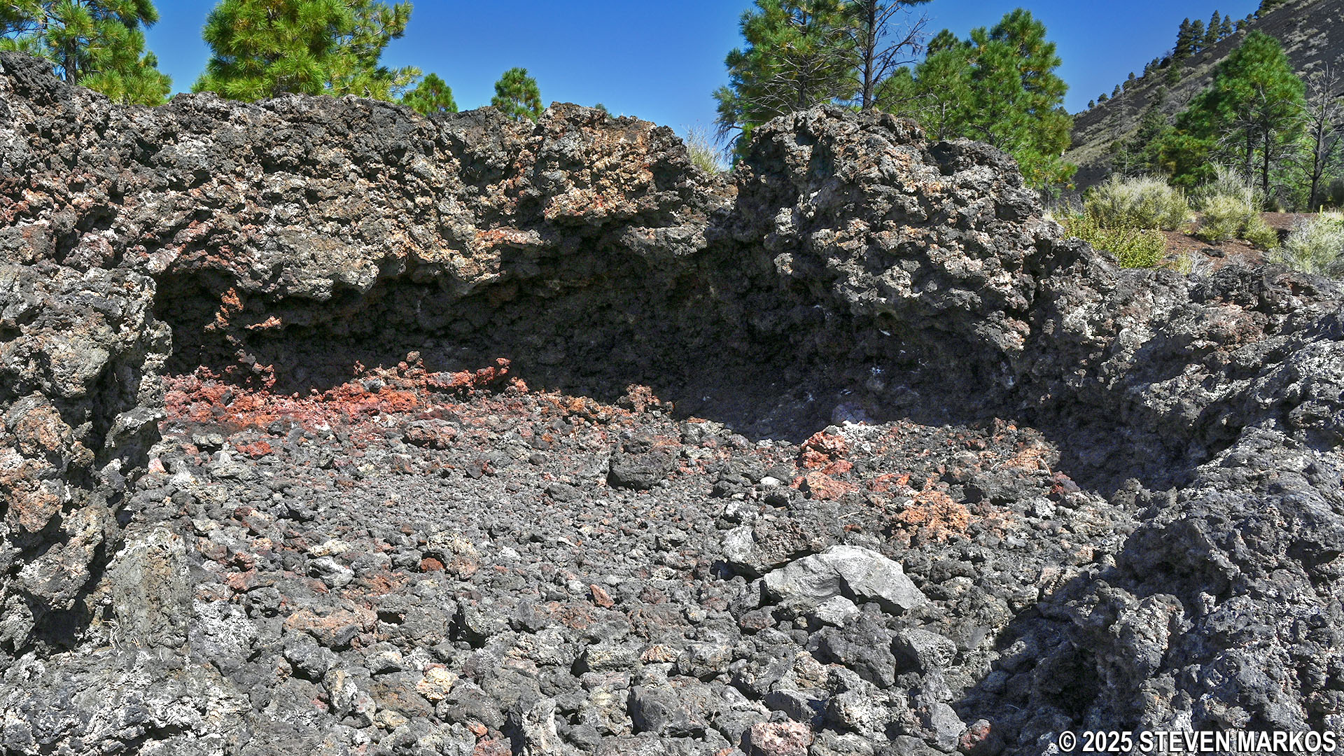
A hundred yards past the large spatter cone is Stop 10. The visible caves in front of you are the result of a collapsed lava tube. These form as the surface of the lava flow hardens while molten lava continues to flow underneath it. Once the molten lava drains out, a hollow tube remains. Over time, the top of the tube caves in, forming what looks like a gully filled with lava rocks.
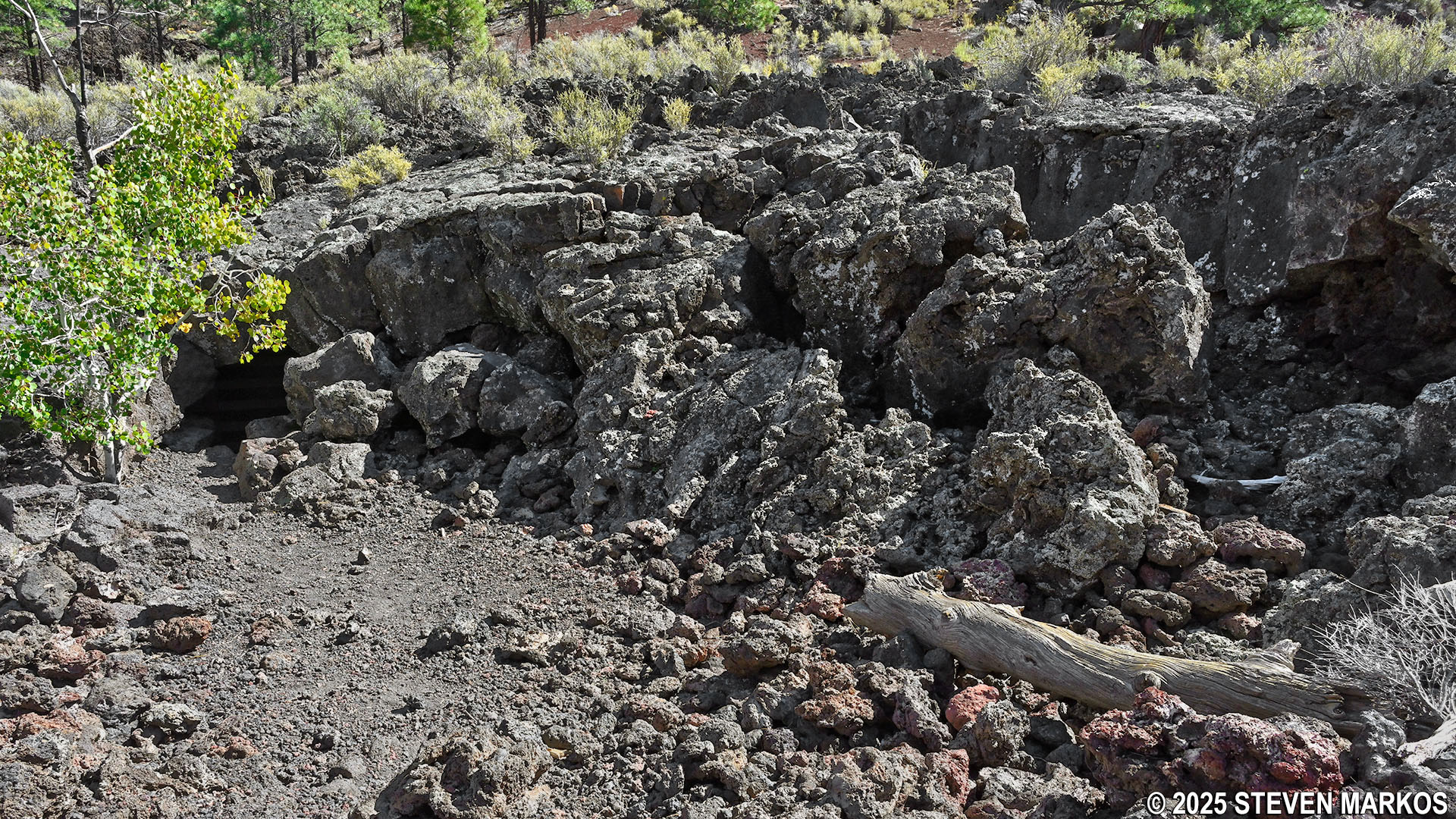
Caves visible due to a collapsed lava tube on the Lava Flow Trail, Sunset Crater Volcano National Monument
At Stop 11, just beyond the line of trees to the north is a reddish-colored hill made up of welded pyroclastic material, also known as welded tuff. This material is formed when an eruption is so hot and explosive that fragments fuse together. These types of volcanic formations typically emerge during the initial phase of an eruption, and this hill is a remnant of the early stages of Sunset Crater’s creation.
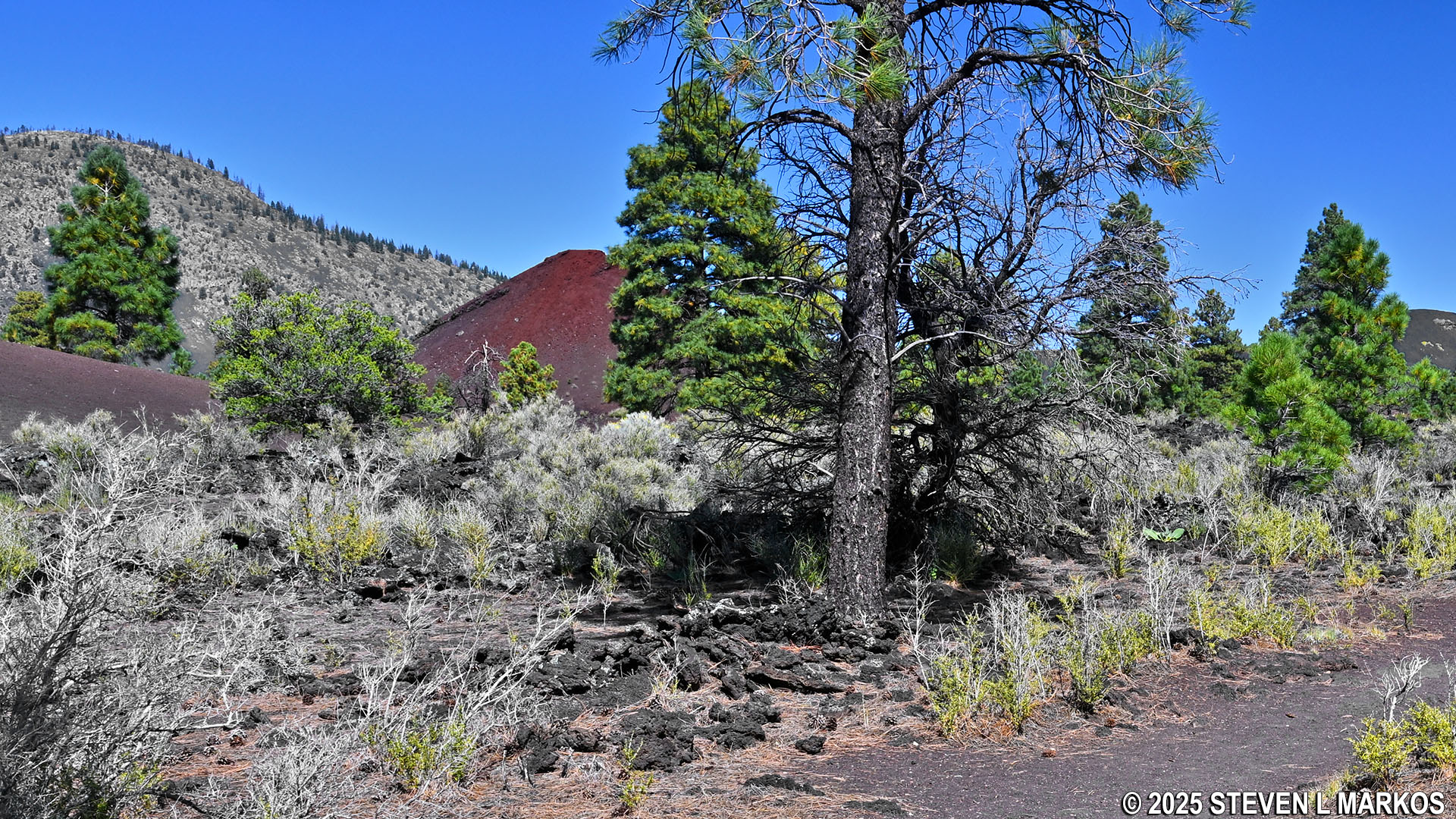
View of a welded tuff hill at Stop 11 on the Lava Flow Trail, Sunset Crater Volcano National Monument
The lower loop of the trail reconnects to the paved upper loop a tenth of a mile past Stop 12. From this point, you can take a left to get to Stops 3 and 4 if you missed them earlier or continue to the right to return to the parking lot.
Lower loop of the Lava Flow Trail reconnects to the paved upper loop section, Sunset Crater Volcano National Monument
With a few exceptions, use of any photograph on the National Park Planner website requires a paid Royalty Free Editorial Use License or Commercial Use License. See the Photo Usage page for details.
Last updated on January 2, 2026


