
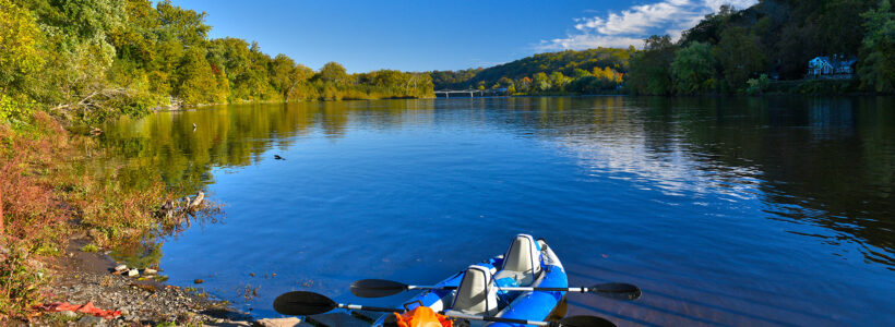
The Lower Delaware National Wild and Scenic River was created in 2000 to protect the Delaware River from south of Belvidere, New Jersey, at river mile 193.8 to Washington Crossing, Pennsylvania, a total of approximately 52 miles. However, only 39 miles within this boundary are actually part of the park. Some sections have been omitted due to excessive development or because the municipalities along the river do not want to be part of the park for various reasons including having to impose stricter regulations on businesses. For simplicities sake, National Park Planner provides details on paddling trips and boat launches on the entire 52-mile stretch of river.
With a few exceptions, use of any photograph on the National Park Planner website requires a paid Royalty Free Editorial Use License or Commercial Use License. See the Photo Usage page for details.
Last updated on February 26, 2024


