
The Slacks Overlook on the Blue Ridge Parkway
View: ♦ ♦ / 5
Trails: The Slacks Trail, White Rock Falls Trail
Picnic Tables: 1 (no grill)

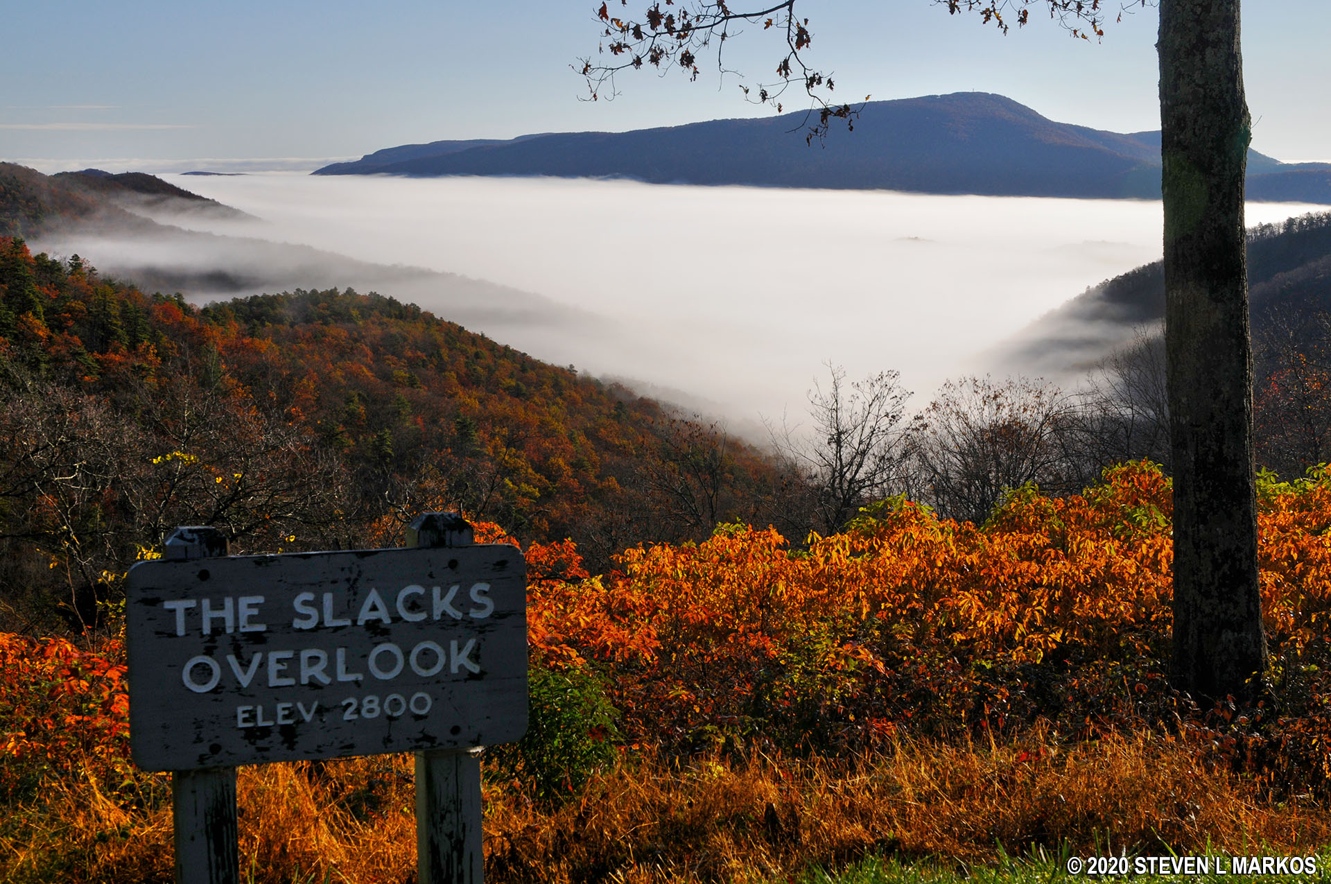
View from The Slacks Overlook on the Blue Ridge Parkway
There is a narrow view into a valley from The Slacks Overlook. However, the scenery is not the reason why this is such a popular stop on the Blue Ridge Parkway. On a nice day the parking lot may be packed because this is the parking lot for two trails: The Slacks Trail and the White Rock Falls Trail. Other trails can be accessed from The Slacks Trail. (In the map below, ignore the “You Are Here” marker, as this is a photo taken of a trail map posted at the White Rocks Gap Parking Area located two stops north).

White Rock Gap Trail Map (click to enlarge)
Trail mileage is as follows (all one way except for the loop hike):
- White Rock Falls Trail: 2.5 miles
- White Rock Gap Trail: 2.5 miles
- The Slacks Trail: 2.6 miles
- Torry Ridge Trail: 7 miles
- Torry Ridge / Slacks / Blue Loop / White Rock Gap Loop: 8.5 mile loop
Since waterfalls are of interest to many people, the most popular trail at this location is the White Rock Falls Trail. This 2.5 mile trail runs between here and the White Rock Gap Parking Area. The waterfall (really a series of cascades) is located near the middle but a little closer to The Slacks. If your goal is just to see the cascades, this is the end where you want to start. The cascades begin about a mile into the hike and continue downstream for about a quarter mile. Round trip from The Slacks is 2.2 miles versus 2.8 miles from White Rock Gap. See the White Rock Falls Trail report for complete details and photos about the hike.
Regardless of which end you start at, the trailhead for White Rock Falls is on the opposite side of the Blue Ridge Parkway from the parking areas. From The Slacks parking lot, which is a C-shaped pull-through lot, look back towards the Parkway and exit the parking lot at the left side. Once you get to the Parkway, walk across the street and take a left. The trailhead is located about 50 yards down. It is nearly impossible to see from the parking lot side of the road because it begins down into a gully. There is no sign identifying the name of the trail, but when you look at the above map, it’s obvious that this is the White Rock Falls Trail.
To get to The Slacks Trail, at the right side of the parking lot is an unmarked trail next to a picnic table. Unmarked trails, as you may have figured by now, are a common problem along the Blue Ridge Parkway, and without some sort of map for reference you’ll have no idea where you are going. In this case, the trail is simply a connector trail to The Slacks Trail. Walk about a tenth of a mile and you’ll dead end into it. Go right to get to the White Rock Gap Trail (and parking area) or left to get to the Torry Ridge Trail. This connector trail puts you at the middle of The Slacks Trail.

Connector trail to the Slacks Trail starts behind the picnic table at The Slacks Overlook on the Blue Ridge Parkway
During my first trip on the Blue Ridge Parkway in 2015, by mistake The Slacks Trail ended up being the only trail I hiked in this area. I did not have a map and thought I was hiking to the waterfall (there is no trail map sign at The Slacks Overlook). I did not take any photos or write any report on this trail, mainly because I was pissed off that I had just wasted an hour and missed the waterfall. I can tell you that the portion I hiked, about 1.25 miles from The Slacks Overlook parking area, was relatively flat and easy, as well as exceptionally uninteresting. Unless this is part of a longer hike, I don’t recommend the Slacks Trail.
Next Stop South | Next Stop North | Scenic Overlooks | Waterfalls
With a few exceptions, use of any photograph on the National Park Planner website requires a paid Royalty Free Editorial Use License or Commercial Use License. See the Photo Usage page for details.
Last updated on August 15, 2024


