
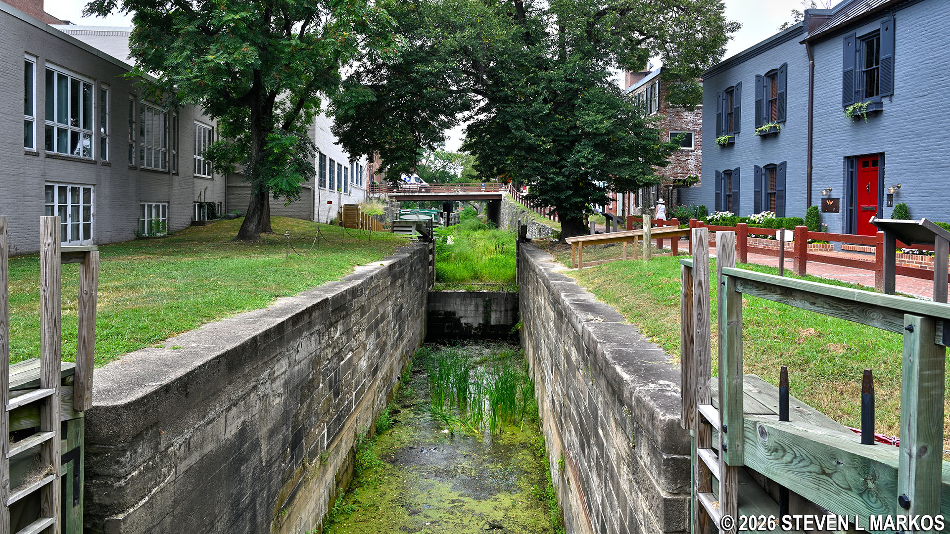
Upstream view of Lock 4 in Georgetown at Mile .4 on the Chesapeake and Ohio Canal towpath
Lock 4 is located in Georgetown at Mile .4 on the C&O Canal towpath. You can get to it either by using the Metro or by dealing with parking in a downtown area. See the Locks and Lockhouses web page for an interactive location map.
Locks 1 through 4 on the Chesapeake and Ohio Canal are all located within a tenth of a mile from one another. They are so close together that it’s almost as if the canal boats were climbing stairs in a residential house. However, once exiting Lock 4, the boats could travel on the “level” for nearly five miles before hitting Lock 5.
Lock 4 can be viewed from either the Jefferson Street bridge or the 31st Street bridge between M and K streets in Georgetown. The photo at the top of this page is looking upstream from Jefferson Street with 31st Street in the background.
With a few exceptions, use of any photograph on the National Park Planner website requires a paid Royalty Free Editorial Use License or Commercial Use License. See the Photo Usage page for details.
Last updated on June 29, 2026


