

Turner River Canoe and Kayak Launch, Big Cypress National Preserve
See the Boat Launches web page for an interactive location map.
The Turner River Canoe Launch is located on Highway 41 a few miles east of the Nathaniel P. Reed Visitor Center. Paddlers launch into a short canal that leads to the Turner River. The river is popular with paddlers and is used for guided trips run by the National Park Service and various outdoor recreation companies, so the small, four-car parking lot can fill up quickly. You can park along the road shoulder if necessary.

Turner River Canoe and Kayak Launch parking area, Big Cypress National Preserve
The paddling season on the Turner River usually runs from November through February. Around mid-February the water levels get too low and the National Park Service actually closes the river to paddlers. It would seem logical that once the rains return in May and replenish the river that paddling would resume, but the mosquitoes, gnats, and biting flies are so bad that only a fool would attempt paddling at this time. Also, the water levels may get so high that the entire area becomes one, big lake, and the levels must actually recede before a distinguishable waterway emerges. Enjoyable paddling begins again in November.
In addition to the boat launch is a restroom area, a few wayside exhibits about alligators and panthers, and even two covered picnic tables. The restroom is what I call a fancy outhouse—a pit toilet housed in a building as compared to the portable, plastic toilets.

Restroom at the Turner River Kayak Launch, Big Cypress National Preserve
Permits are no longer required to hike, bike, or paddle in the backcountry of Big Cypress National Preserve. However, be sure to let somebody know of your plans and who to notify (a park Ranger) should you not return as scheduled.
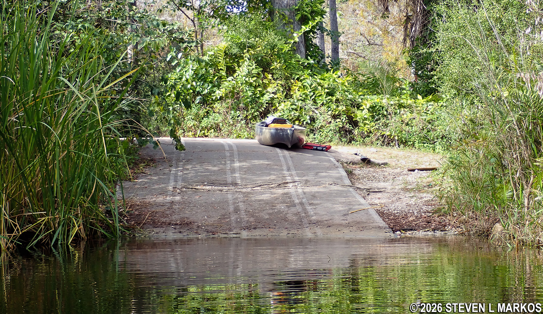
View of the Turner River Canoe and Kayak Launch from the water, Big Cypress National Preserve
With a few exceptions, use of any photograph on the National Park Planner website requires a paid Royalty Free Editorial Use License or Commercial Use License. See the Photo Usage page for details.
Last updated on July 13, 2026


